Elevation of Williamsburg, MA, USA
Location: United States > Massachusetts > Hampshire County >
Longitude: -72.730092
Latitude: 42.3928305
Elevation: 162m / 531feet
Barometric Pressure: 99KPa
Elevation Map:
Satellite Map:
Related Photos:

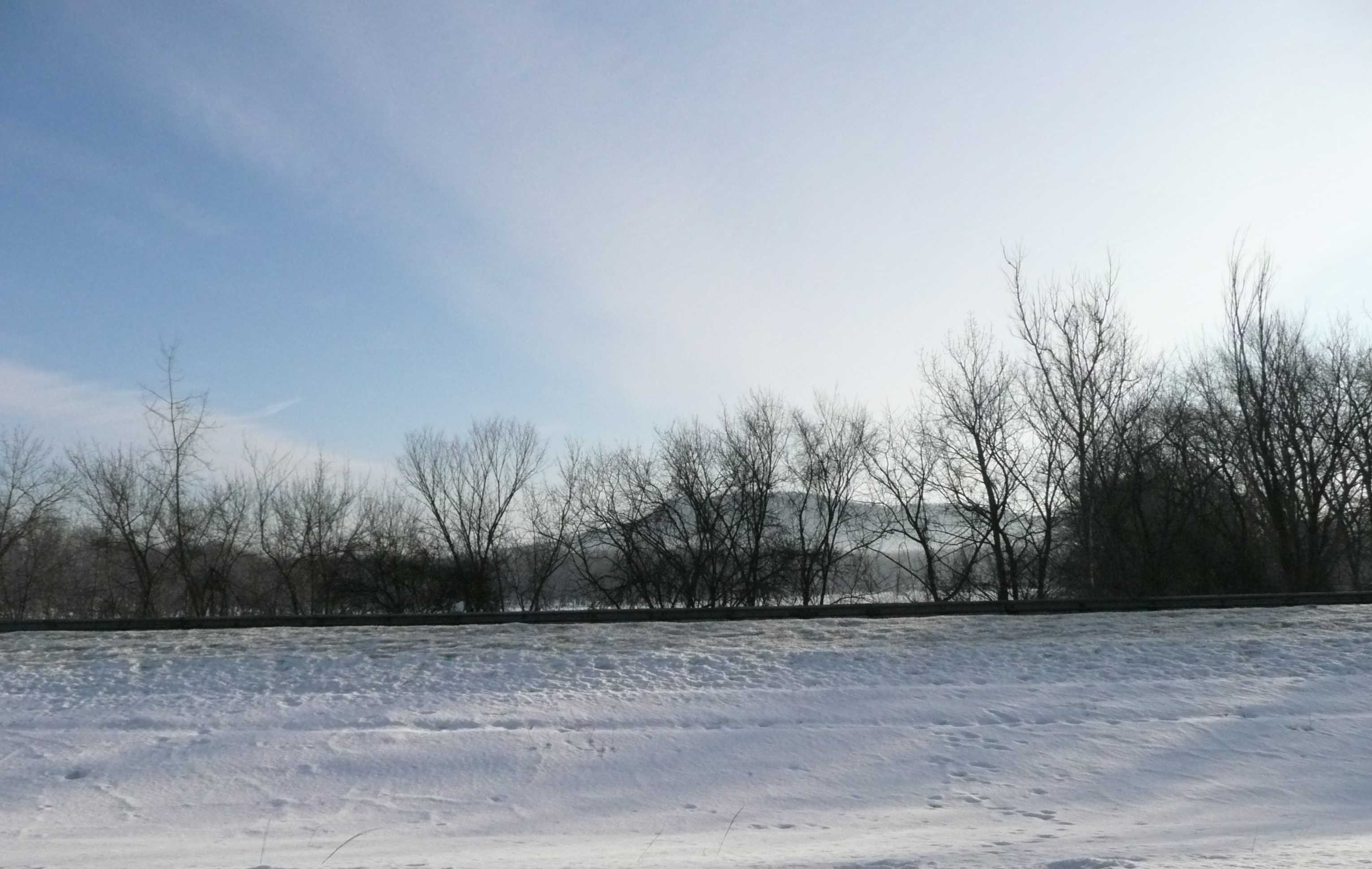
winter blues

Butterfly Bokeh

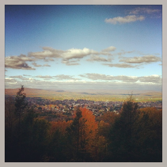
Let there be Clouds

a fire upon the deep
Leica X1 Sunderland

Steampunk author Anna-Marie York at Conbust
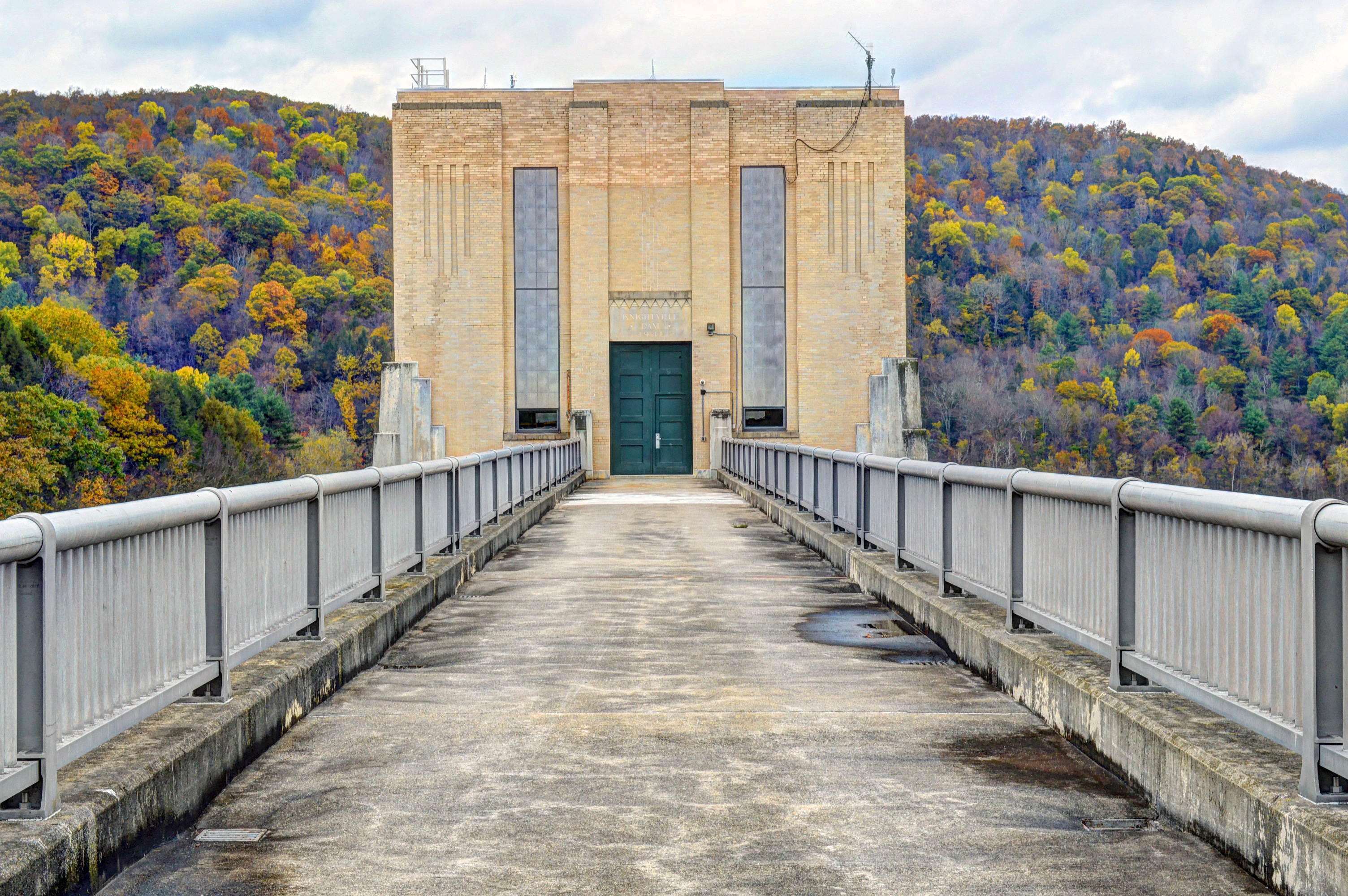
Knightville Dam

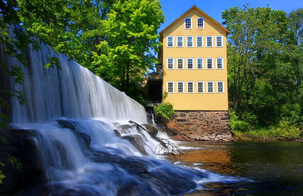
Old Mill on the Falls

Lesser Scaup (middle) and Greater Scaup

That view again.
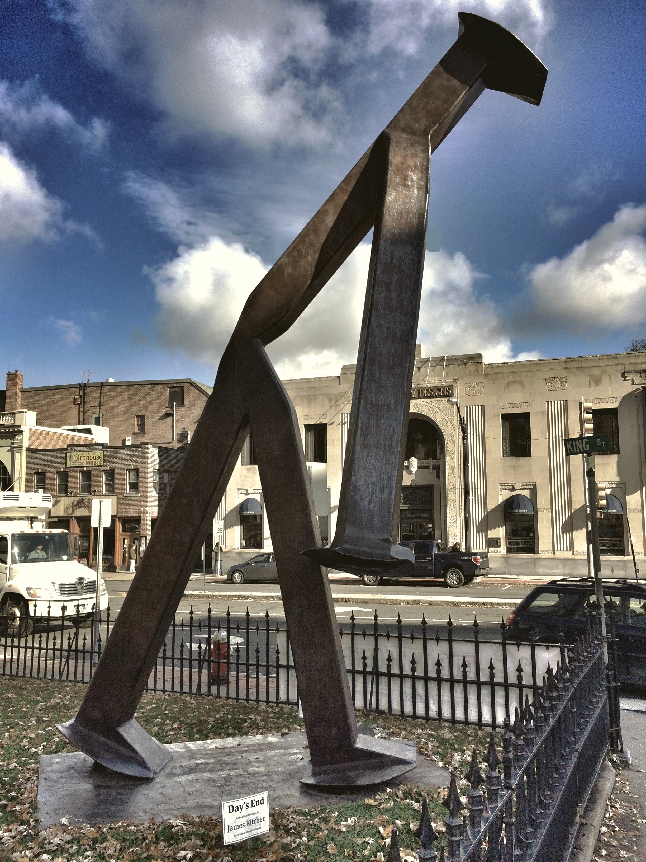
"Day's End" By James Kitchen. Daytime View

Northern Pintail

Lesser Scaup (L) and Greater Scaup

Waterfowl on the Connecticut River
Silky Tresses

Autumn Foliage
View of Easthampton from Mt Tom
view from stopped traffic

Ring necked Duck

Getting To The Other Side

Marsh at dawn

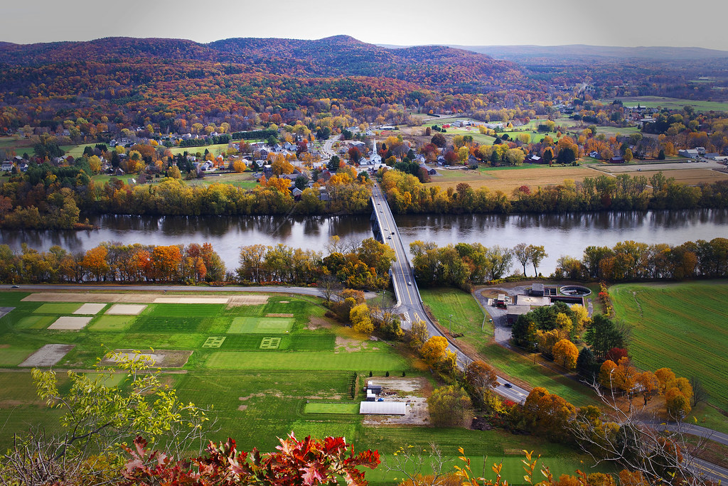
Autumn on the Backroads of New England
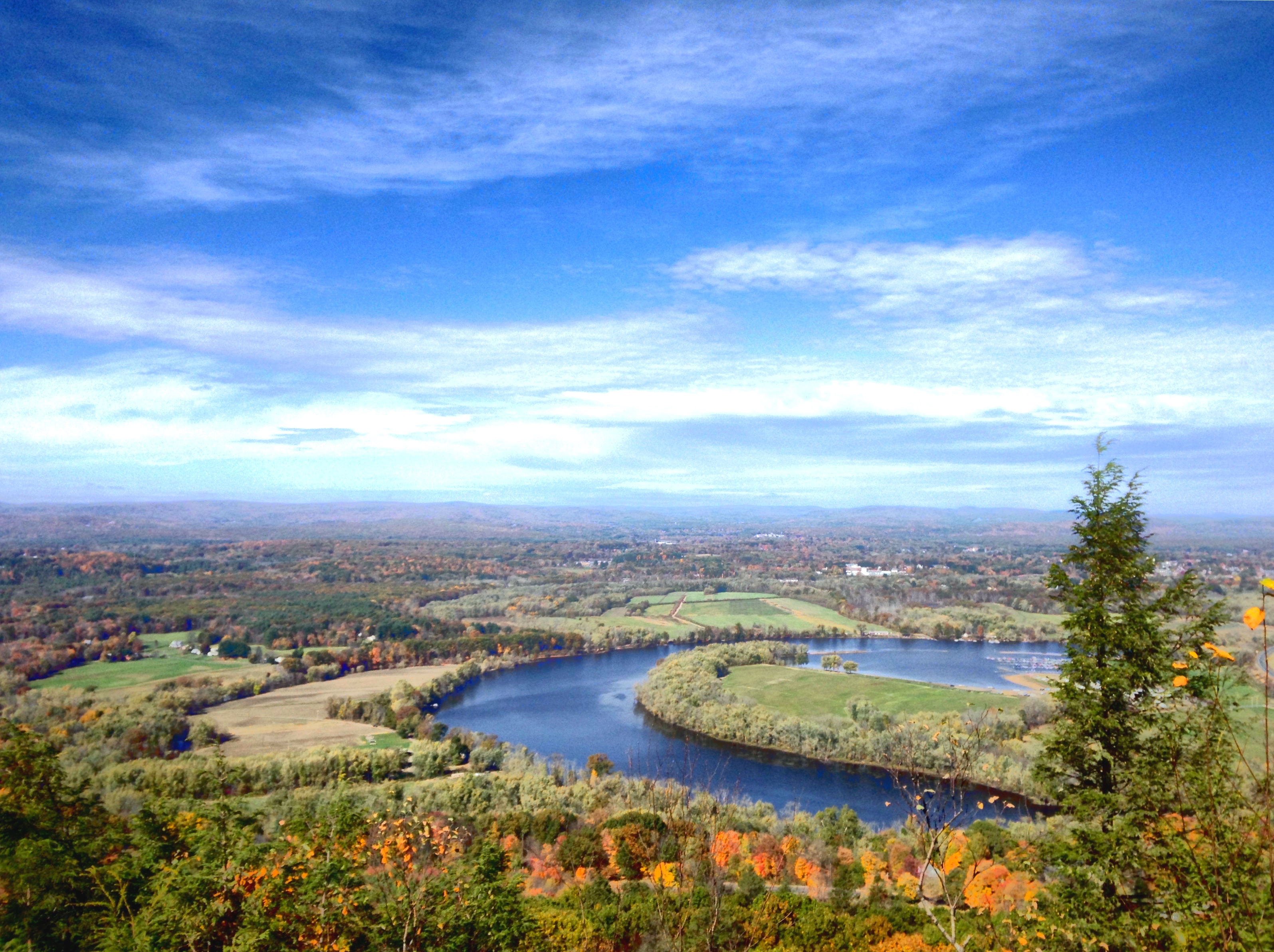
The Oxbow

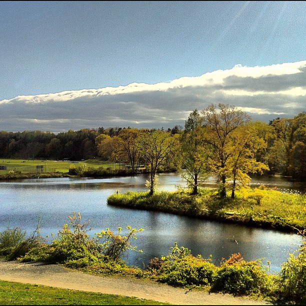
meadows on my mind

Carried Off

DSC_0013.jpg

Smith Consevatory
Here comes the cold front.

Autumn Road to Mount Holyoke

Early fall

Mr Froggy

IMG_3507.JPG

yellow skies of June first

Autumn Reflections at a Massachusetts Mill

Little foggy in Noho today

Lap 2

IMGP0028.jpg
IMG_3503.JPG

just about sunset

Horned Lark, Honey Pot Road, Hadley, MA

Lower Mill Pond, blustery
Topographic Map of Williamsburg, MA, USA
Find elevation by address:

Places in Williamsburg, MA, USA:
Places near Williamsburg, MA, USA:
10 South St
3 N Main St
123 Petticoat Hill Rd
5 Goshen Rd
5 Goshen Rd
67 Main St, Haydenville, MA, USA
65 South St
46 Village Hill Rd
6 Edwards St
6 Edwards St
6 Edwards St
Haydenville
4 Pine St
146 Nash Hill Rd
710 N Farms Rd
543 Williamsburg Rd
409 N Farms Rd
N Farms Rd, Florence, MA, USA
67 Old Stage Rd
1467 Williamsburg Rd
Recent Searches:
- Elevation of Corso Fratelli Cairoli, 35, Macerata MC, Italy
- Elevation of Tallevast Rd, Sarasota, FL, USA
- Elevation of 4th St E, Sonoma, CA, USA
- Elevation of Black Hollow Rd, Pennsdale, PA, USA
- Elevation of Oakland Ave, Williamsport, PA, USA
- Elevation of Pedrógão Grande, Portugal
- Elevation of Klee Dr, Martinsburg, WV, USA
- Elevation of Via Roma, Pieranica CR, Italy
- Elevation of Tavkvetili Mountain, Georgia
- Elevation of Hartfords Bluff Cir, Mt Pleasant, SC, USA