Elevation of Williams St, Taunton, MA, USA

Location: United States > Massachusetts > Bristol County > Taunton >

Longitude: -71.060617

Latitude: 41.8963832

Elevation: 12m / 39feet

Barometric Pressure: 101KPa

Elevation Map:

elevation map of Williams St, Taunton, MA, USA

Satellite Map:

Satellite map of Williams St, Taunton, MA, USA

Related Photos:

mbta csx mpimp36ph3c cabooses newyorkcentralrailroad
NYC Caboose Leaves Middleboro
Middleboro Morning
Middleboro Morning
colander eclipse viewing wheaton
Eclipse, using a colander for viewing
Middleboro Morning
morning autumn sun mist fall fog sunrise landscape pentax massachusetts newengland granite paranormal magical quarry hdr myst freetown tonemapped assonet assonetledge blinkagain trigphotography frankcgrace
Early Morning Myst
autumn color fall clouds ma photography stage massachusetts newengland haunted spooky foliage granite quarry hdr highdynamicrange fallriver freetown tonemapped assonet watuppa bridgewatertriangle blinkagain trigphotography pukwudgie frankcgrace freetownfallriverstateforest
The Assonet Ledge
trees winter portrait tree ma outside nikon massachusetts newengland makeup headshot mass blending bridgewater d40
The Tree
star nikon massachusetts diner hdr lakeville d7000 tokinaatx116prodxaf1116mmf28
Star Drive-In
flowers blue dof echinacea echoes bokeh background pair foreground simplyflowers nikond300 thecelebrationoflife
It's all in your point of view~
star nikon massachusetts diner hdr lakeville d7000 tokinaatx116prodxaf1116mmf28
Star Drive-In, Alternate
eBird Doc Shot: Northern Lapwing
summer hairy bug ma outside nikon hand massachusetts newengland caterpillar mass crawling bridgewater d40 nikond40
Dreaming Big
longexposure texture abandoned window lowlight decay massachusetts radiator hdr depressing degrading urbex tauntonstatehospital eheater
A Room With a View.
park ma nikon picnic forrest massachusetts picnictables d80 massasoitstatepark
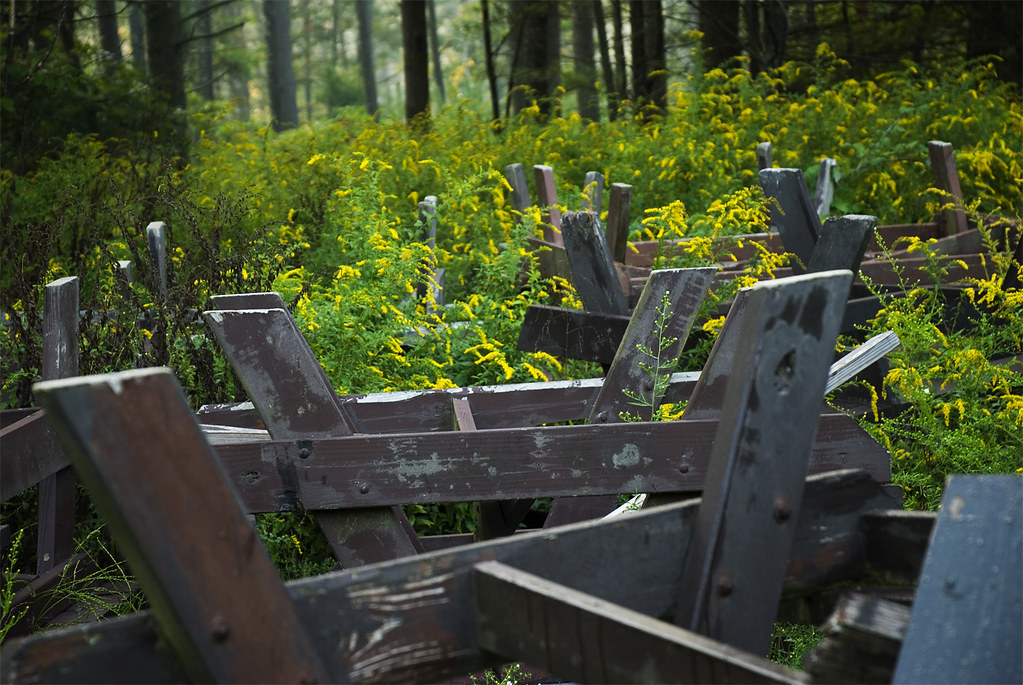
Picnic table grave yard
house club canon project golf mark country gazebo course fairway easton 2” 24105mm 5d2 “project365” “5d
Day 317 (6-17) Easton Country Club
baseball pitcher wheaton mbb brianhughes
Hughes blue in the dugout
The Zoom-Zoom Bee-Eye View
frametents clearspantents wintertents tentstructures freespantents
Dance Floor Viewing Area
frametents clearspantents wintertents tentstructures freespantents
View of the Tent Courtyard
blackwhite baseball pitcher wheaton mbb brianhughes
Hughes in the dugout
large 0212 middleboroughma olivermillpark iphone4s iphone36520
53/365 (+1) Oliver Mill Park
norton massachusetts ma animals rescueanimals donate rural cats witch autumn halloween usa america outdoors pumpkins trees landscape sun sunny chilly clear texture winslowfarmanimalsanctuary
The Enchanting.....
sunset sky sun clouds reflection river andrewlincolnphotographer massachusetts
Peakaboo Sunset
wood blackandwhite bw abstract monochrome contrast bench bleacher iphone hueless iphoneography
Bleacher Creature
Autumn Drifting By
sunset sky sun clouds reflection river tauntonriver
July Sky
eastfreetown massachusetts unitedstates us drone mavicpro profilerock rock outcropping sunset fallfoliage
Profile Rock Sunset
trees blackandwhite bw monochrome us unitedstates massachusetts swamp bridgewater mobilephonephotography iphoneography iphone6
Swamp # 2
the edge of the ledge
water sepia ma waterfall massachusetts explore 365 middleboro prattfarm
White water - 120/365
road morning sun nature forest sunrise ma golden path walk massachusetts dirt rays freetown assonet freetownstateforest
The Golden so-called Dark Woods
railroad nikon track massachusetts hdr photomatix assonet 365project afdxfisheyenikkor105mmf28ged d7000 3652012
220/365 - Along the Tracks
usfws fishandwildlifeservice usfishandwildlifeservice northeastregion restoration hurricanesandy hurricanesandyrecovery sandyrecoveryproject flockpond riverstreamrp hurricanesandyfws hurricanesandyproject68 aquaticconnectivity
Flock Process Dam - Norwalk, CT
freetown massachusetts unitedstates fallriver assonetledge ledge quarry forest stateforest hdr landscape granite legendtripping meditation
Taylor Green at the Ledge
park summer leaves waterfall stream massachusetts westbridgewater hdr rivulet rill warmemorialpark oldcolony plymouthcounty jhaskellus jhaskell jackhaskell
The Rush of the Rill Has its Say
large 1012 raynhamma iphone4s iphone36520
282/365 (+1) Johnson Pond
water forest ma outdoors pond massachusetts freetown stateforest freetownfallriverstateforest
Holding Pond
usfws fishandwildlifeservice usfishandwildlifeservicenortheastregion restoration hurricanesandy hurricanesandyrecovery sandyrecoveryproject whittendonandwestbritannia damremoval westbritania connecitcut whittentonbritanniadr madamremoval hurricanesandyfws hurricanesandyproject9 aquaticconnectivity
The falls at West Britannia Dam
mill river dam massachusetts rivers restoration mills usfws taunton usfishandwildlifeservice northeastregion fishandwildlifeservice whittenton hurricanesandy hurricanesandyrecovery sandyrecoveryproject riverstreamrp whittentonbritanniadr madamremoval hurricanesandyproject9 hurricanesandyfws
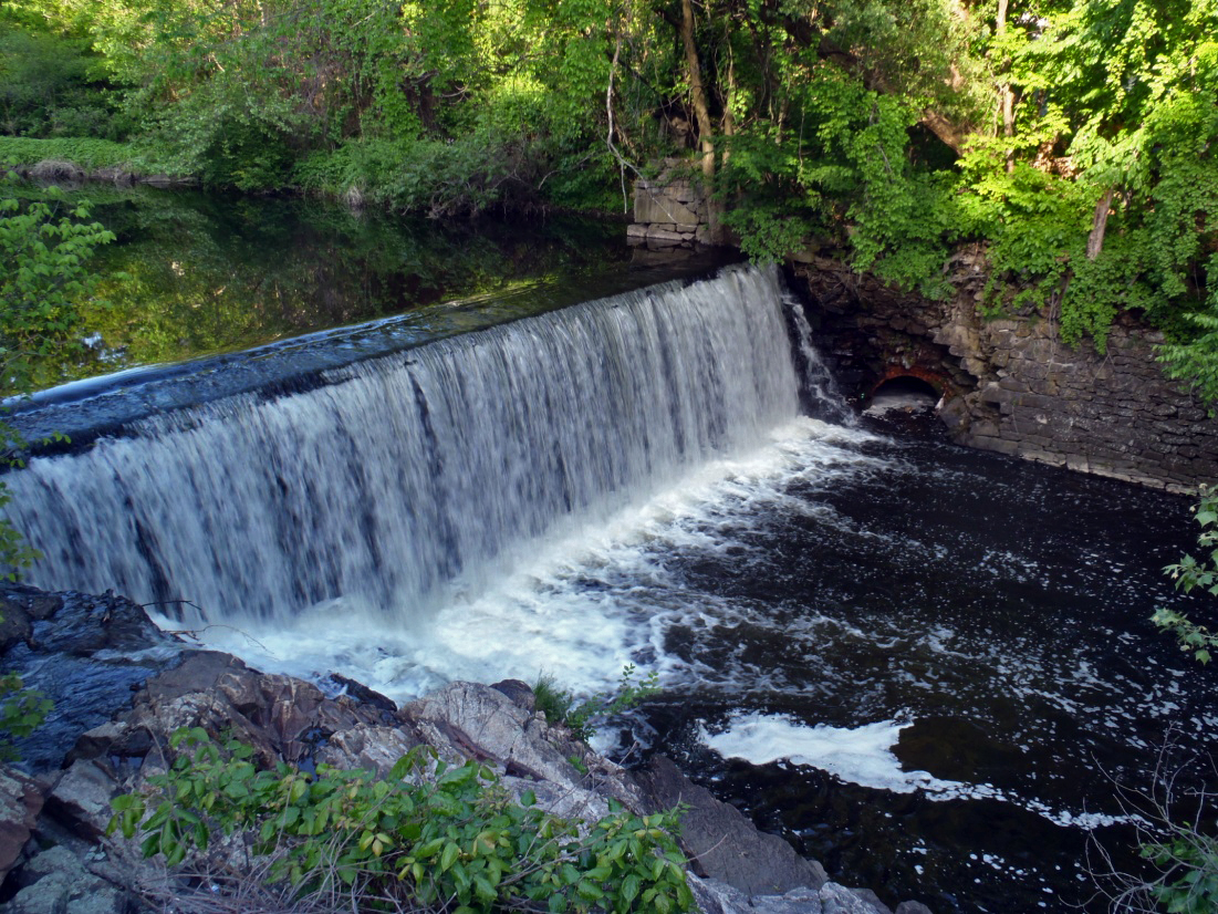
Whittenton Dam - Taunton, MA
er crash accident massachusetts release dumptruck oil intersection spill 2010 cementtruck lakeville emergencyresponse sero bwsc environmentalprotection massdep dieselfuel landscapingtrailer lakevillema bureauofwastesitecleanup
concrete-dump-truck-crash-06072010