Elevation of Wilderness Trail, Waynesville, NC, USA

Location: United States > North Carolina > Haywood County > Clyde > Clyde >

Longitude: -82.918367

Latitude: 35.5015804

Elevation: 989m / 3245feet

Barometric Pressure: 90KPa

Elevation Map:

elevation map of Wilderness Trail, Waynesville, NC, USA

Satellite Map:

Satellite map of Wilderness Trail, Waynesville, NC, USA

Related Photos:

balsam northcarolina unitedstatesofamerica tennessee greatsmokeymountains fall trees river water stream boulders rocks foliage landscape little pigeon
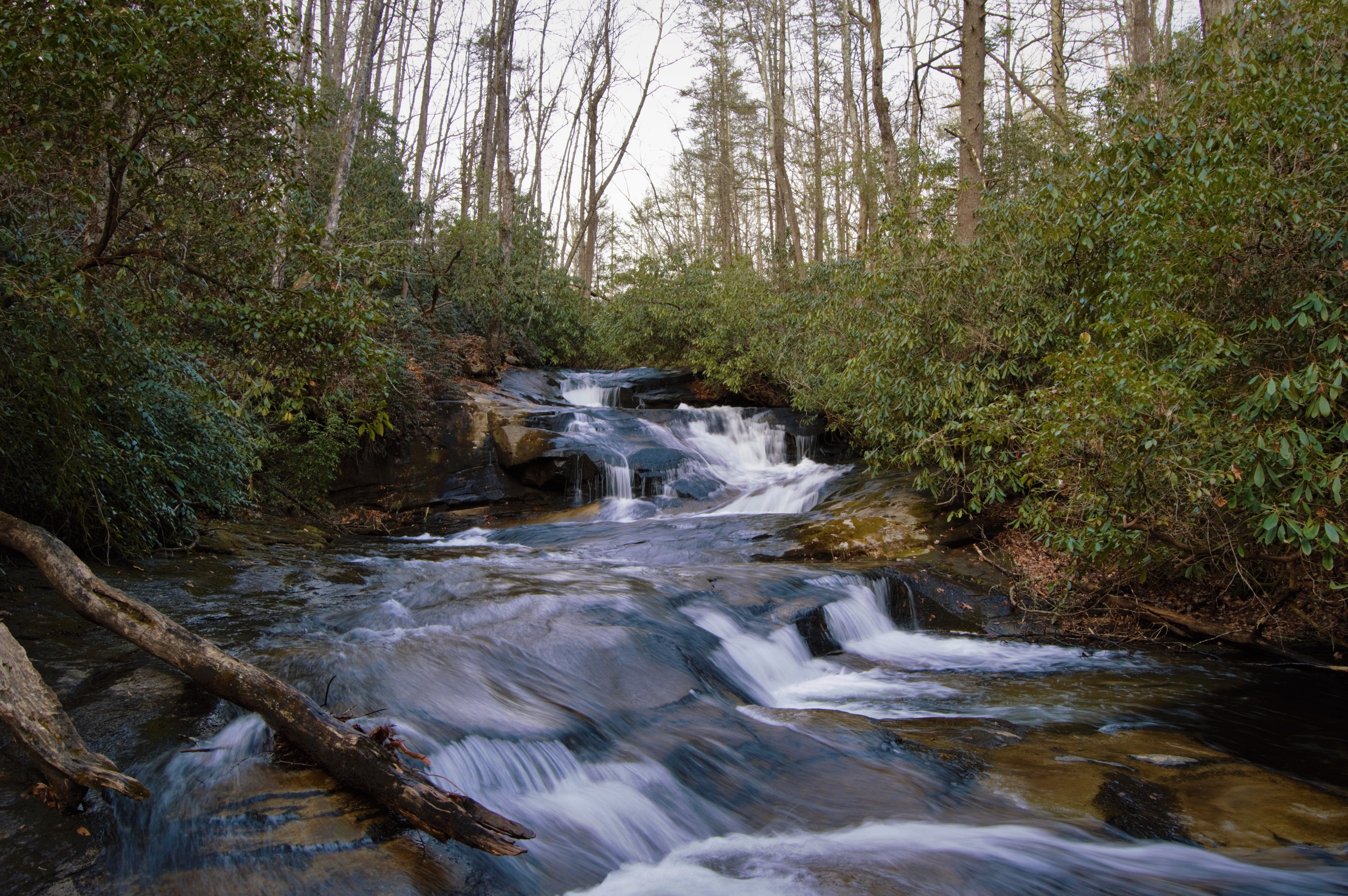
A River Runs Through It
Leaving Canton
Up and Down
2018 10-19 1516-93 BLU GP39-2-3945, 3940 E/B T-59, Waynesville, NC
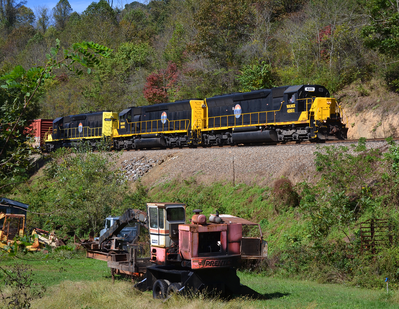
2018 10-18 1240-6 BLU SD40-2-4201 E/B T-31, Canton, NC
morning bridge trees sky sun mist fall water leaves fog clouds sunrise reflections colorful seasons footbridge northcarolina brilliant lakejunaluska itsakeeper img13831 debbiefrileyphotography debbiefrileyphotograhy ohthatmorninglight
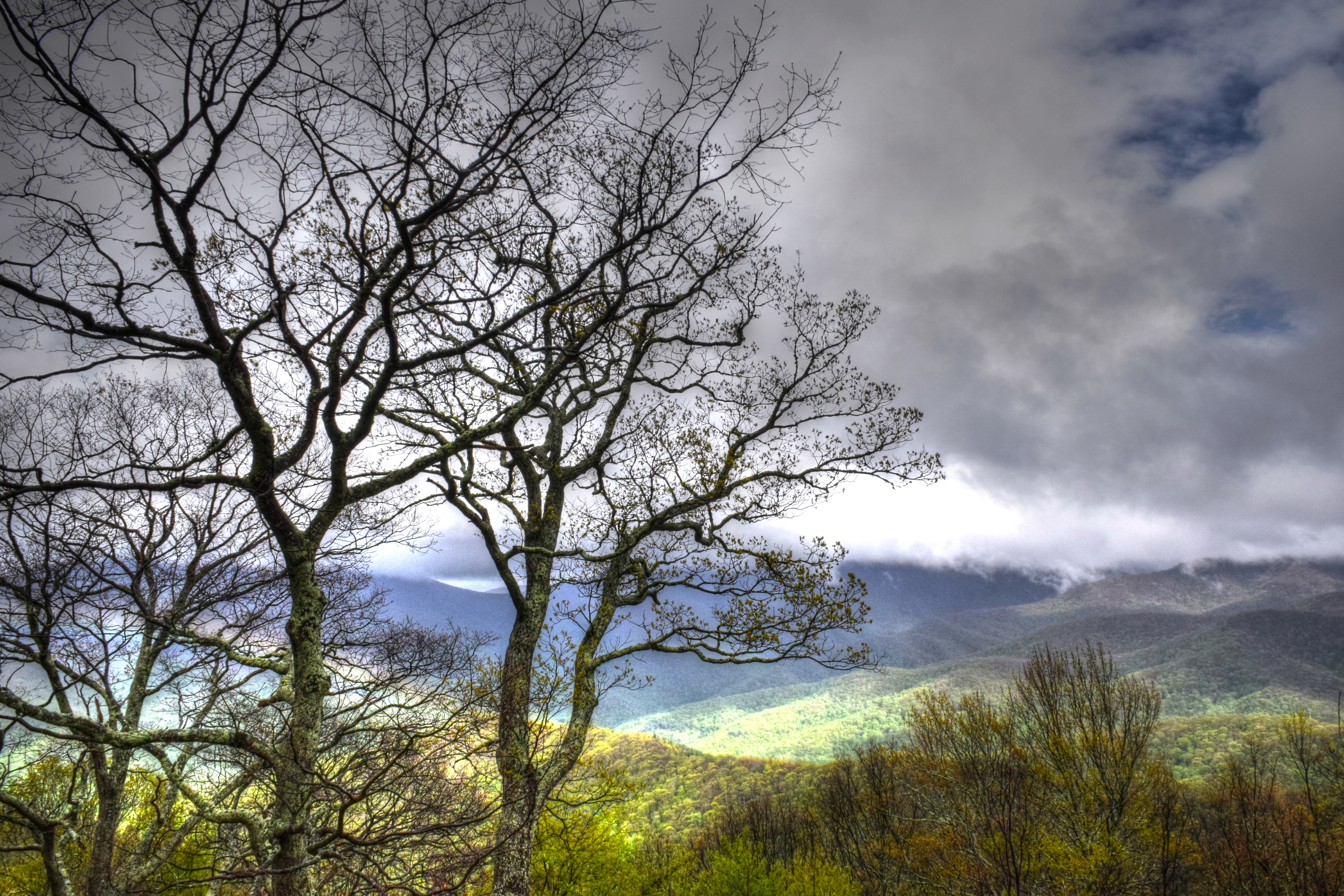
An EXTRAORDINARY View!
lighting longexposure autumn trees light orange abstract motion blur mountains fall nature grass vertical forest landscape outdoors photography golden photo moving nc blurry woods nikon exposure seasons natural artistic fineart dream deep northcarolina blurred foliage motionblur fantasy carolina dreamy tall pan trunks panning technique blueridgeparkway blueridge dreamscape daveallen appalachians wnc westernnorthcarolina southernappalachians d700 verticalpanning mygearandme mygearandmepremium mygearandmebronze mygearandmesilver mygearandmegold mygearandmeplatinum mygearandmediamond
Forest Essence - Vertical Panning Abstract Photography
2018 10-18 1233-3 BLU SD40-2-4201 E/B T-31, Canton, NC
autumn trees forest woods hiking wilderness appalachianmountains awalkinthewoods pisgahnationalforest us276 iphoneopgraphy iphone4s shiningrockwildernesstrail
A Walk In The Woods
clouds nc cross northcarolina lakejunaluska wnc mountans westernnorthcarolina haywoodcounty davidhopkinsphotography lakejunaluskaconferenceandretreatcenter wncumm
Lake Junaluska, NC
road trees sunset panorama mountains fall evening october view path pano unitedstatesofamerica northcarolina panoramic trail valley maggievalley andrewvernon nikond300s aperture3
Maggie Valley, NC
pink clouds nature landscape tree travelphotography landscapephotography northcarolina blossom gray naturephotography bloom appalachia travel nc
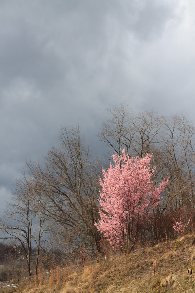
First Brushstroke of Spring, North Carolina
10millionphotos bench benchmonday hbm northcarolina haywoodcounty lakejunaluska lake widescreen headless decapitated geotag geotagged
Bench Monday: Junaluska Edition
native ranunculaceae herb dicots dwarflarkspur delphiniumtricorne
Delphinium tricorne (Dwarf larkspur)
aluminum tonneaucover truckbedcover diamondback diamondplate pickuptruck wholetruck browntruck hd heavydutytruckbedcover outdoors closed ruggedblack ff87 s ford fseries classictruck atvrack atvcarrier atvhauler atvtruckrack rearloading lowprofilecabguard cg 0010d00001juxanaad driversideheadlightview
A Heavy Duty Truck Bed Cover On A Ford F- Series
pisgahviewranch
View from one of the Pisgah View Ranch trails
pisgahviewranch
Pisgah View Ranch House
pisgahviewranch
Local geese enjoying a swim
pisgahviewranch
Pisgah View Ranch Wedding in April 2007
pisgahviewranch
Lakeside Cabins
pisgahviewranch
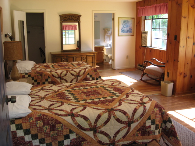
Bedroom in the Sunrise Cottage
augphotoimagery blueridgeparkway landscape mountains nature outdoors scenic trees waynesville northcarolina unitedstates
Mountain Air 2
bridge autumn trees lake fall leaves reflections footbridge northcarolina lakejunaluska waynesville junaluska turbeville haywoodcounty img4394212345 santapleasebringmeawideanglelens
from here to there
canton north carolina trestle bridge watco
Take the high road....
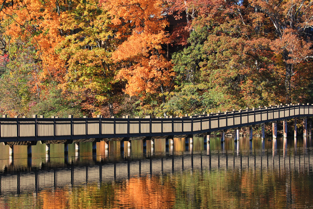
watco canton north carolina blue ridge southern wamx
T-31 at High Bridge
augphotoimagery blueridgeparkway landscape mountains nature outdoors scenic trees waynesville northcarolina unitedstates
Mountain Air
watco blue ridge southern coburn north carolina drone
The rumble in the distance
usa america creek forest geotagged nc cove north rocky falls mount trail national waterfalls carolina pisgah backwoods mtfall
Cove Creek Falls
brp blueridgeparkway haywoodcounty northcarolina nature landscape trees silhouette mountains clouds sky outdoors
Spring in the Valleys
bw mountain fog clouds
Maggie Valley NC
bridge train northcarolina locomotive canton freighttrain pigeonriver emd gp392 wamx blueridgesouthern
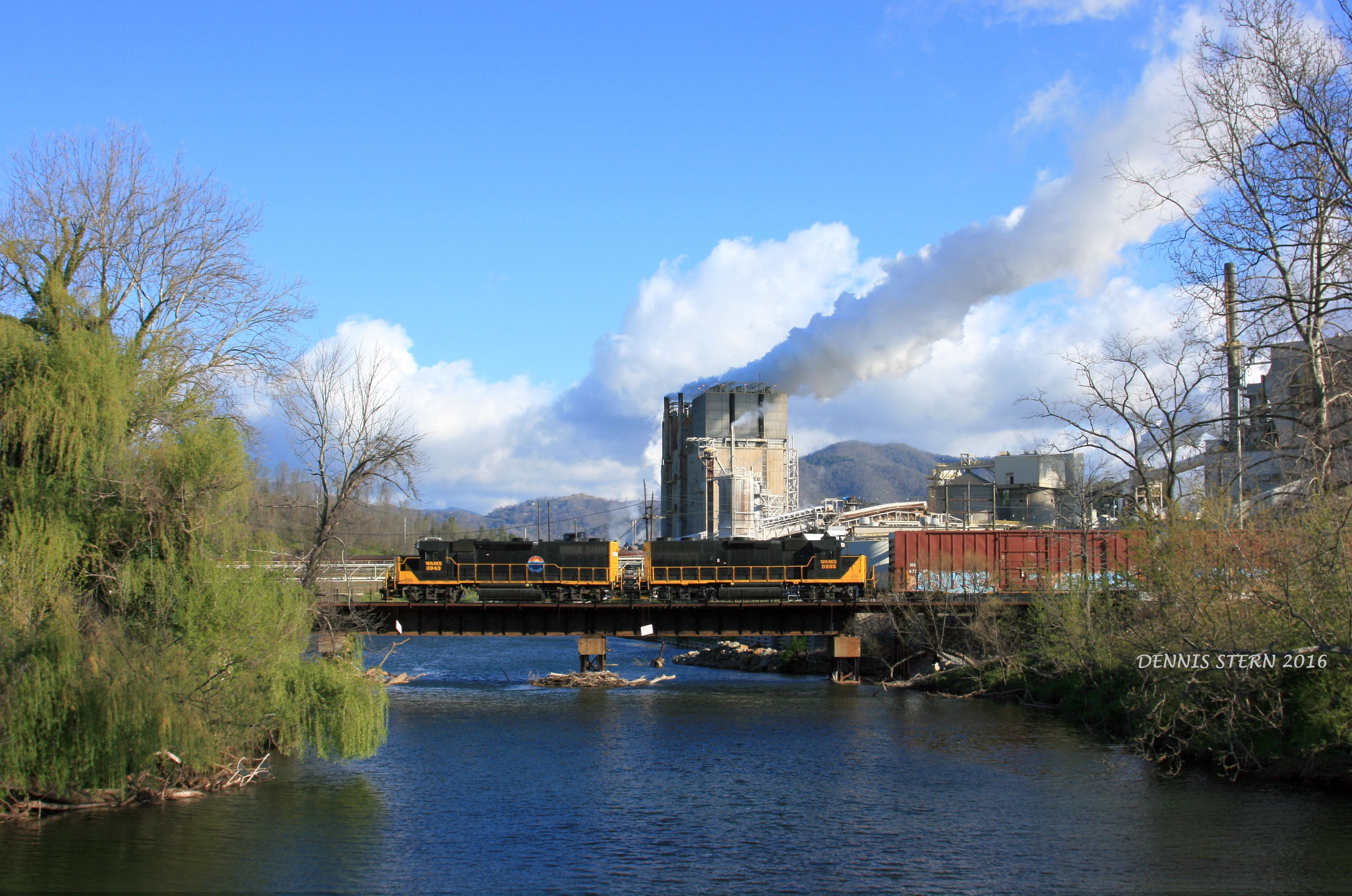
WAMX 3943, #59, CANTON, NC 4-9-16
river pigeonriver sunburst water wet spash frozen cold winter icy slick white sun shadows daytime january season rocks stream creek nature outdoors beautiful extreme dslr canon 5d markiv background natural northcarolina mountains pisgahnationalforest haywood
Frozen River
blueridgeparkway landscape trees nationalgeographic clear day pwfall blinkagain fall foilage autumn
North Carolina - Blue Ridge Parkway
clouds stormy sky mountains landscape nature haywoodcounty northcarolina
Mountains and Clouds Landscape
sky clouds mountains nc wnc landscape weather haywoodcounty northcarolina
Light Ice for the Higher Ridges
travel trees woods unitedstates fallcolors northcarolina blueridgemountains canton
Nature's Art
landscape haywoodcounty nc nature northcarolina vertical green moss rock woods forest roughcreekwatershed hiking trailrunning
Haywood County Landscape
road autumn white mountain black mountains fall monochrome beauty leaf nc north maggie covered valley carolina mtn smoky smokies rd
Mountain Road (B/W)
river pigeonriver sunburst water wet spash frozen cold winter icy slick white sun shadows daytime january season rocks stream creek nature outdoors beautiful extreme dslr canon 5d markiv background natural northcarolina mountains pisgahnationalforest haywood
Frozen River
Small Cascade