Elevation of Wilder Rd, Spring City, TN, USA
Location: United States > Tennessee > Rhea County > Spring City >
Longitude: -84.822750
Latitude: 35.6475356
Elevation: 288m / 945feet
Barometric Pressure: 98KPa
Elevation Map:
Satellite Map:
Related Photos:

Norfolk Southern Engine 8724

Meigs County, TN Courthouse - Decatur, TN

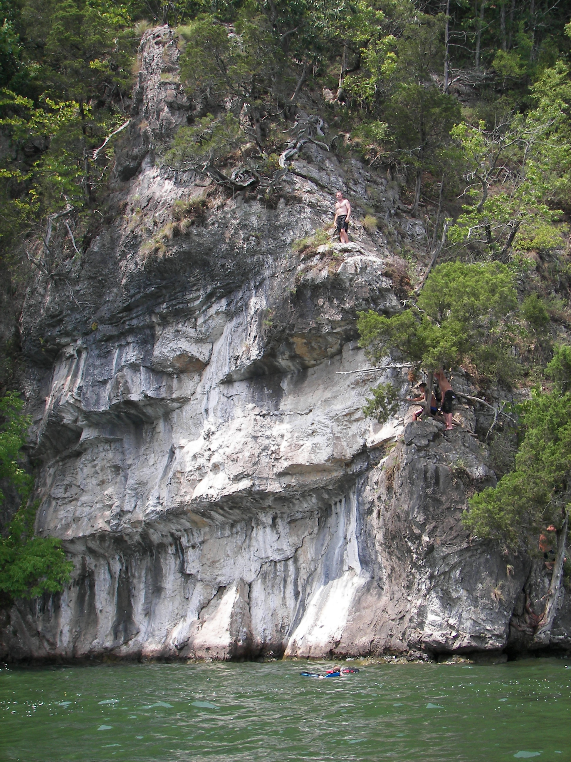
View from my Aunt Pam and Uncle Jim's lake house
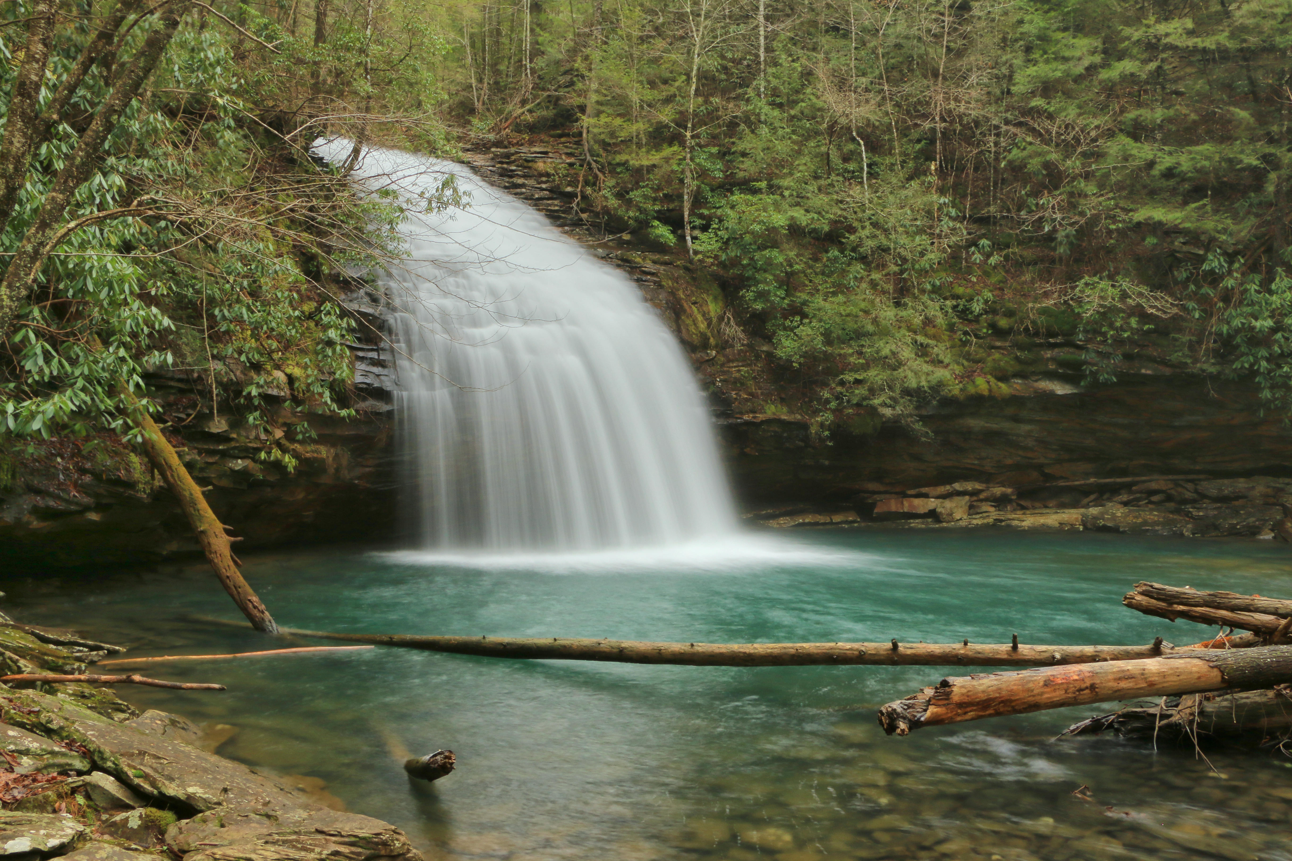
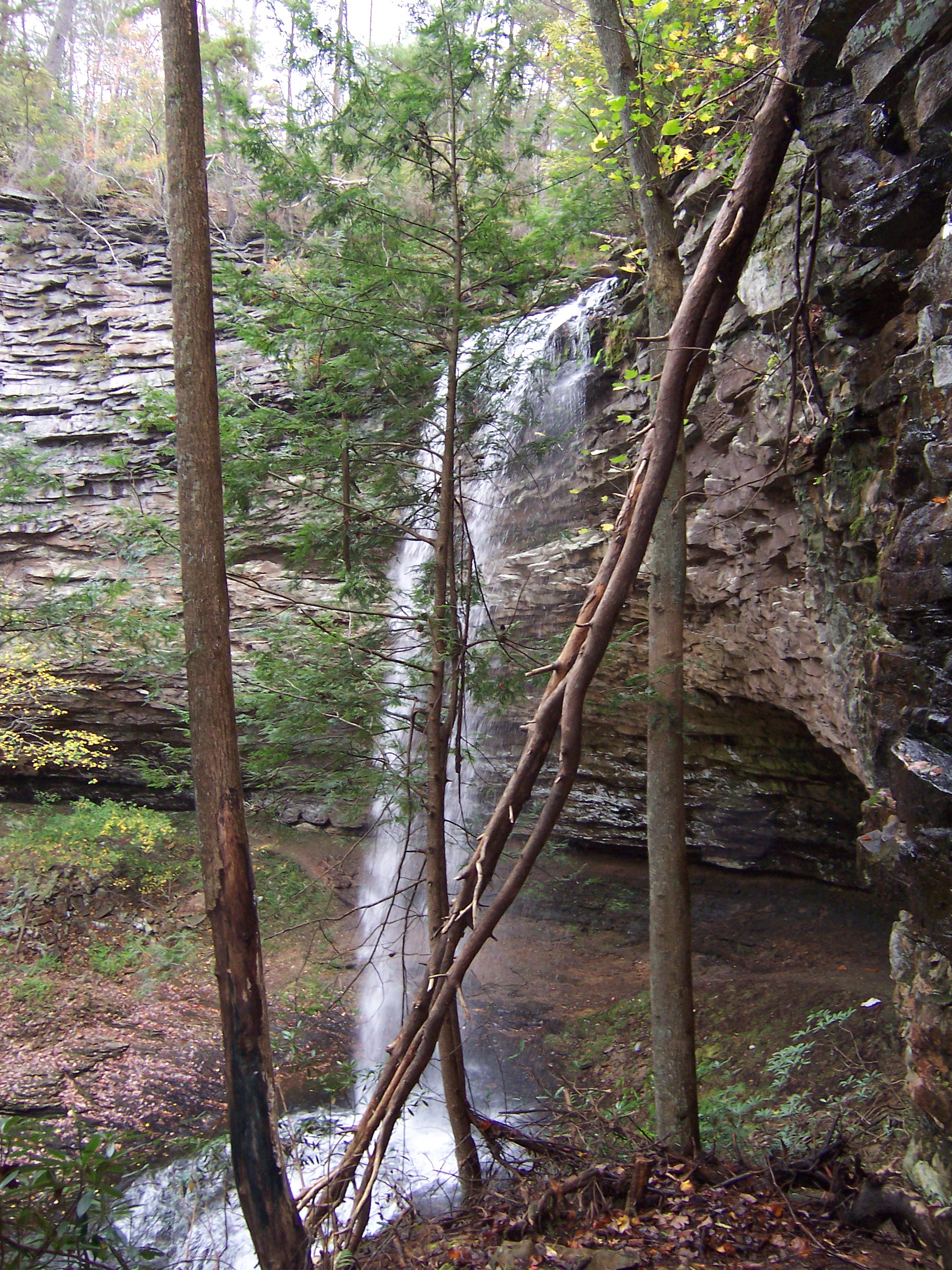
Stinging Fork Falls, Stinging Fork, Stinging Fork Falls State Natural Area, Walden Ridge, Rhea County, Tennessee 1

Disc 235 053

Disc 235 067

SOU 3118, C&O 7520 & SOU 3045

Disc 226 287

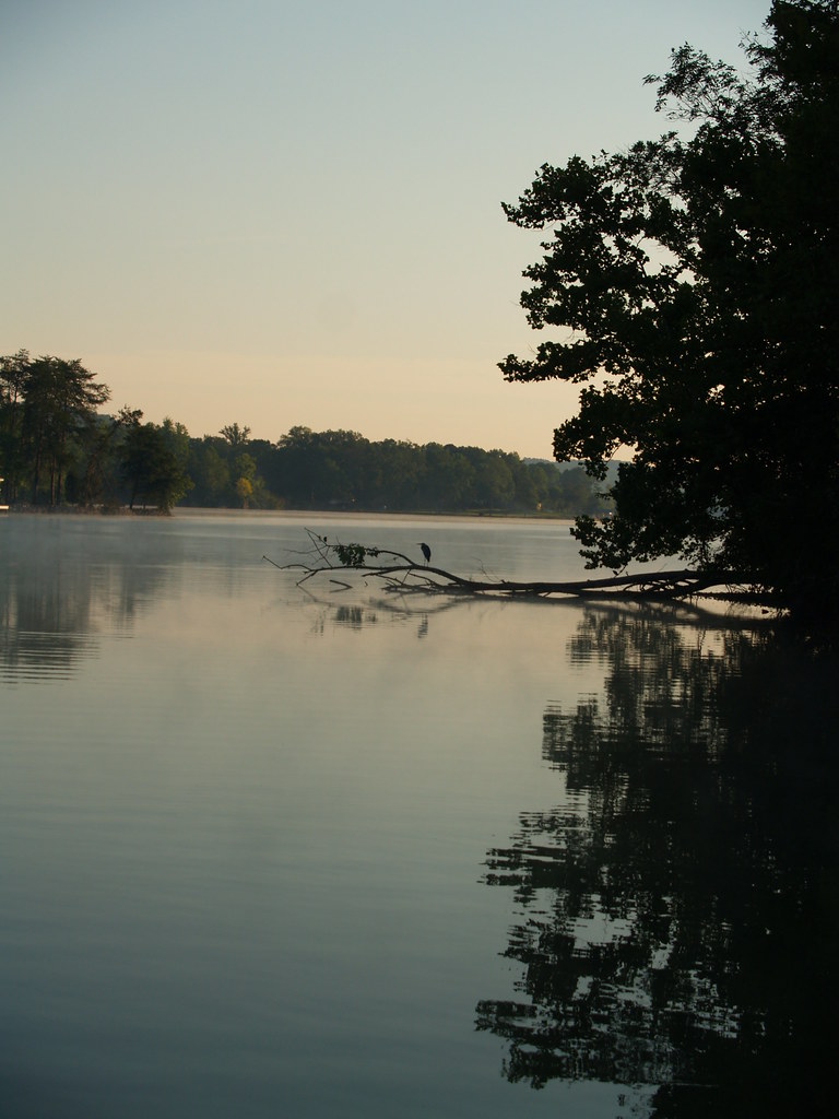
#SmokeOnTheWater morning #fog burning off. #Tennessee #WattsBarLake pre#Hootenanny

Piney River, Piney River Management Area, Cumberland Trail State Scenic Trail, Rhea County, Tennessee 1

Disc 226 190
Picture 008

SOU 6138, 6130, 6139, 6142 & 6140

Week 6 - Cookeville Cavaliers at Rhea County Eagles!!
Disc 229 023

Disc 226 018

Peace of the Forest
Piney Creek 13

Disc 226 192

Piney Creek 19

Beyond the Blue
Piney Creek 17
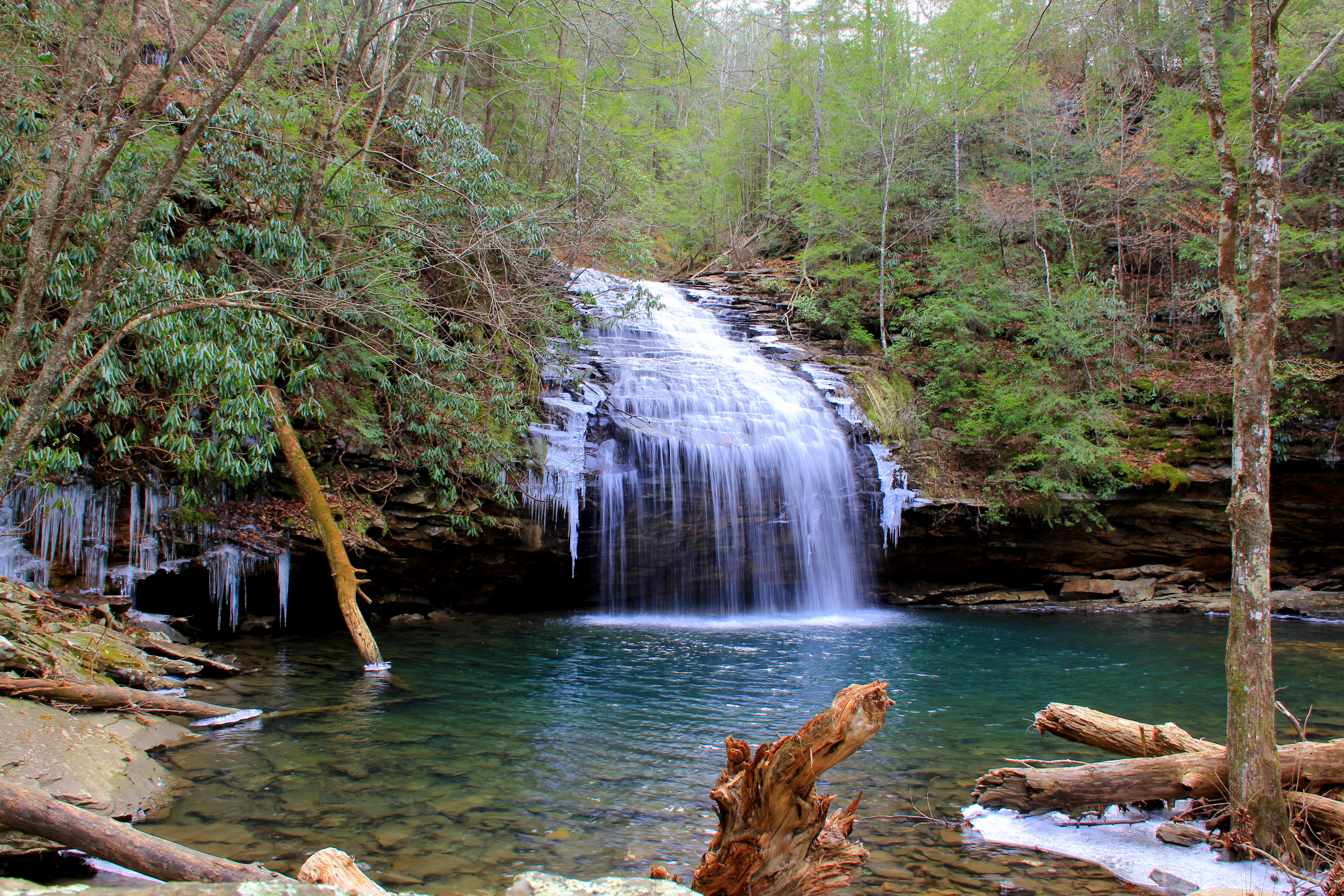
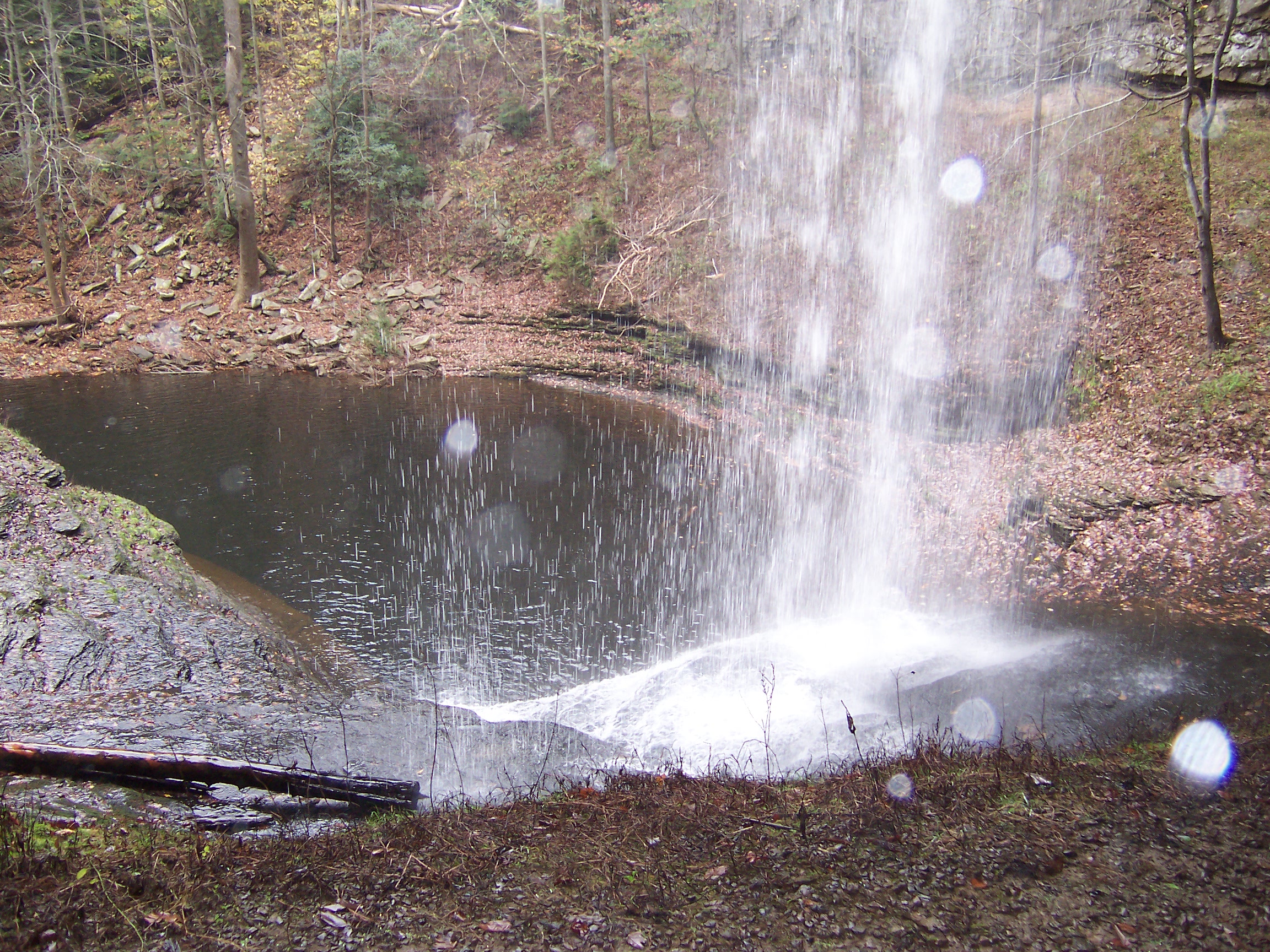
Stinging Fork Falls

Disc 235 036
Topographic Map of Wilder Rd, Spring City, TN, USA
Find elevation by address:

Places near Wilder Rd, Spring City, TN, USA:
604 Old Rhea Springs Rd
Wolf Creek Rd, Spring City, TN, USA
Hinch St, Spring City, TN, USA
Scotts Subdivision Ln, Ten Mile, TN, USA
1088 Concord Ln
TN-58, Decatur, TN, USA
158 Logan Ln
360 Woods Hollow Rd
11005 Back Valley Rd
240 Industrial Rd
Tennessee 58
Decatur, TN, USA
Meigs County
Decatur
Evensville
Rhea County
106 Swafford Rd
Buzzard Point
321 Williams Home Ln
1255 Rogers Rd
Recent Searches:
- Elevation of Corso Fratelli Cairoli, 35, Macerata MC, Italy
- Elevation of Tallevast Rd, Sarasota, FL, USA
- Elevation of 4th St E, Sonoma, CA, USA
- Elevation of Black Hollow Rd, Pennsdale, PA, USA
- Elevation of Oakland Ave, Williamsport, PA, USA
- Elevation of Pedrógão Grande, Portugal
- Elevation of Klee Dr, Martinsburg, WV, USA
- Elevation of Via Roma, Pieranica CR, Italy
- Elevation of Tavkvetili Mountain, Georgia
- Elevation of Hartfords Bluff Cir, Mt Pleasant, SC, USA