Elevation of Wild Cherry Ln, Summerville, SC, USA
Location: United States > South Carolina > Dorchester County > Summerville >
Longitude: -80.171087
Latitude: 33.174743
Elevation: 16m / 52feet
Barometric Pressure: 101KPa
Elevation Map:
Satellite Map:
Related Photos:

Wildflower Diptych

Diptych - Different POVs

LCS Wide View

9/365 - The Faucet

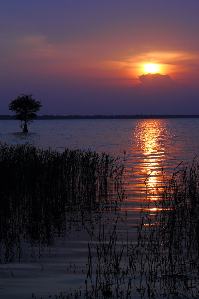
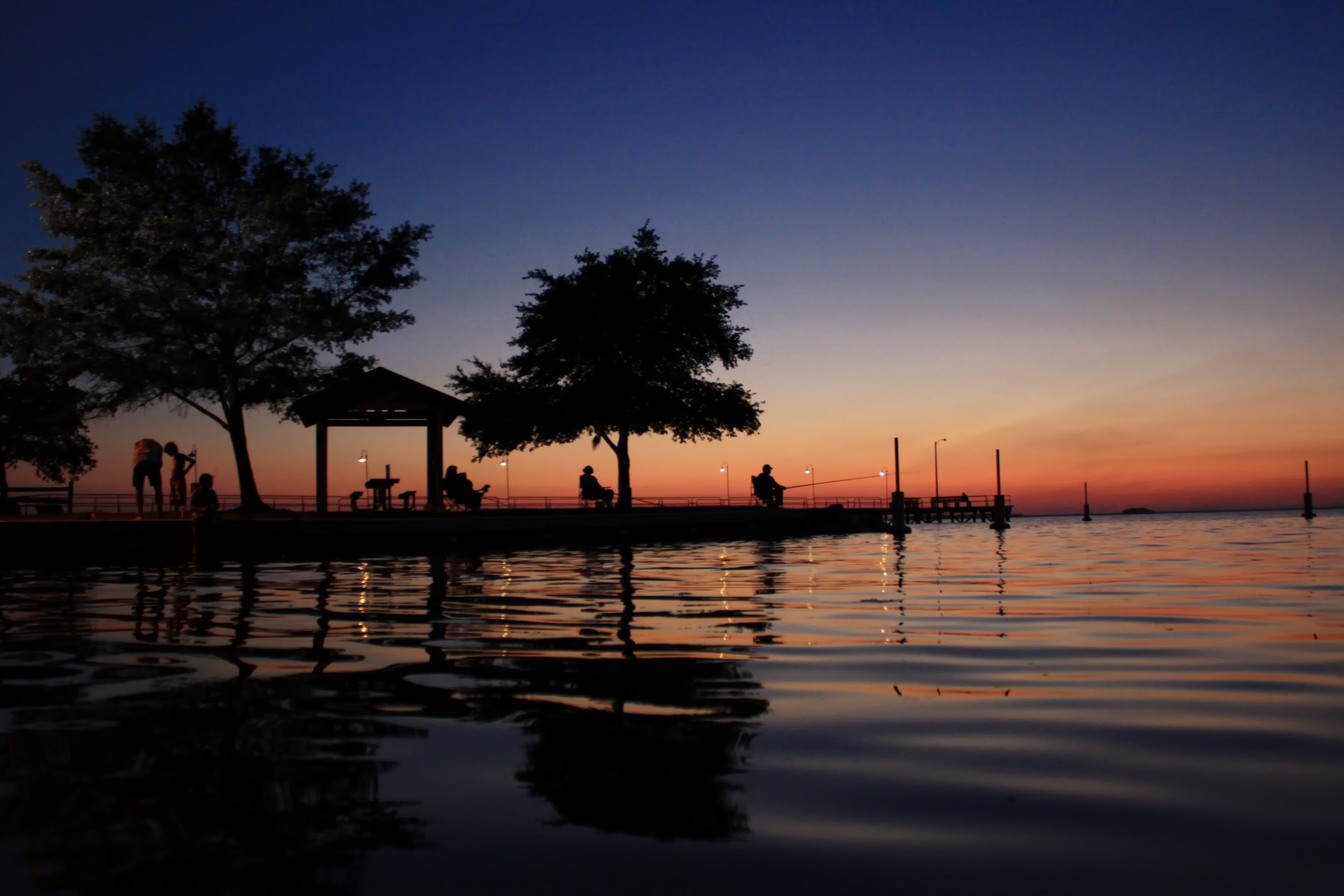
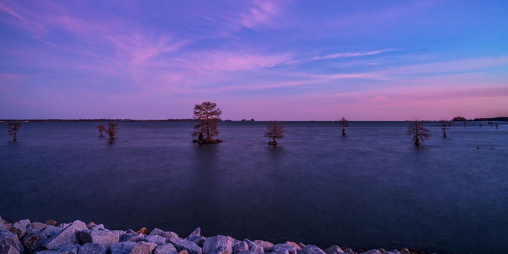
Cypress Sunset
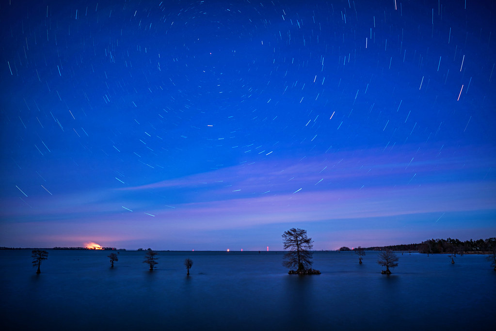
Lake Moultrie Star Trails
Trees and their shadows
LCS Lake Moultrie 4

LCS Expansive

Lake Moultrie
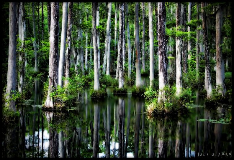
Beidler forest
Cypress Gardens, Charleston SC
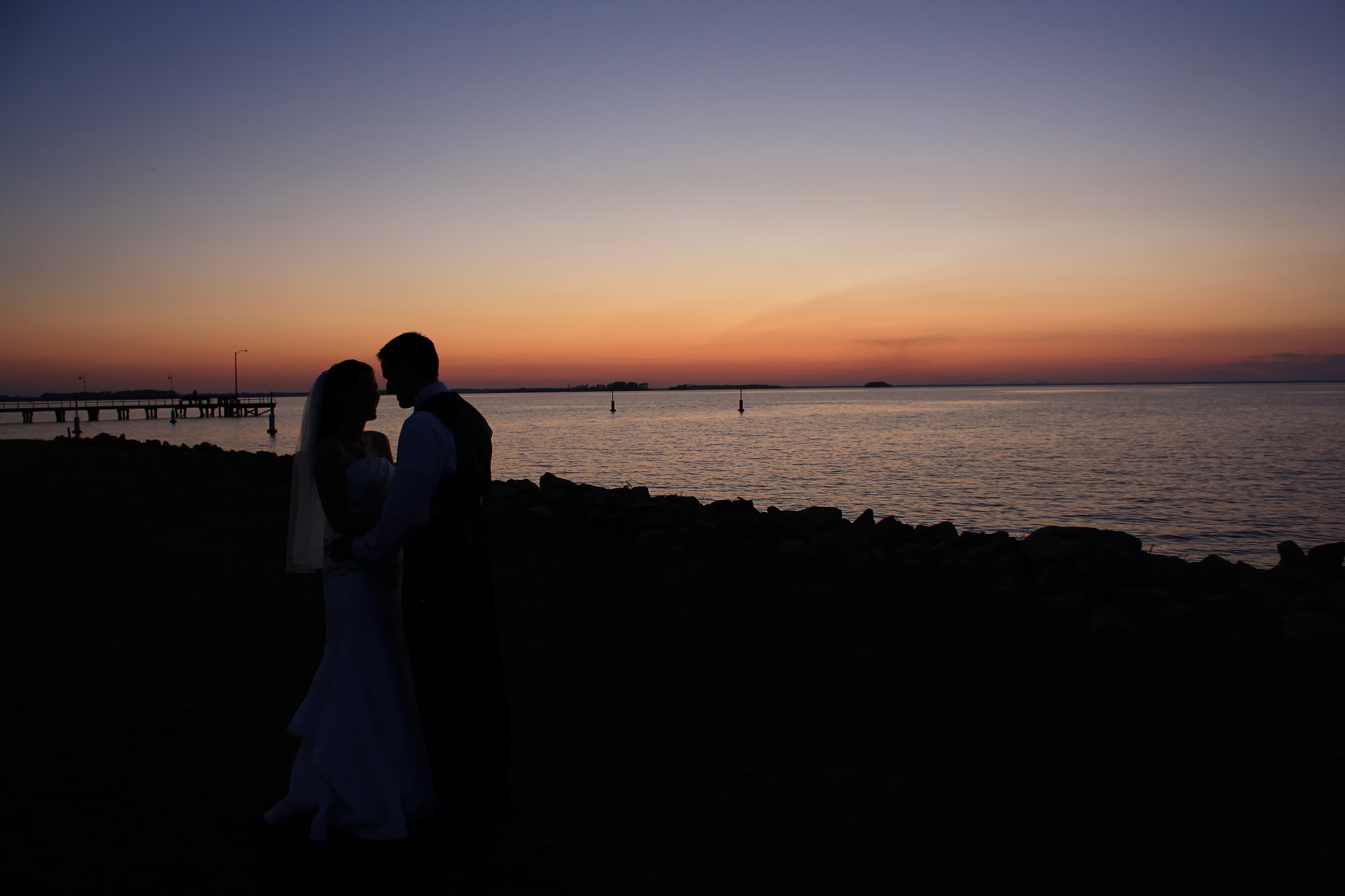
Sunset Kiss
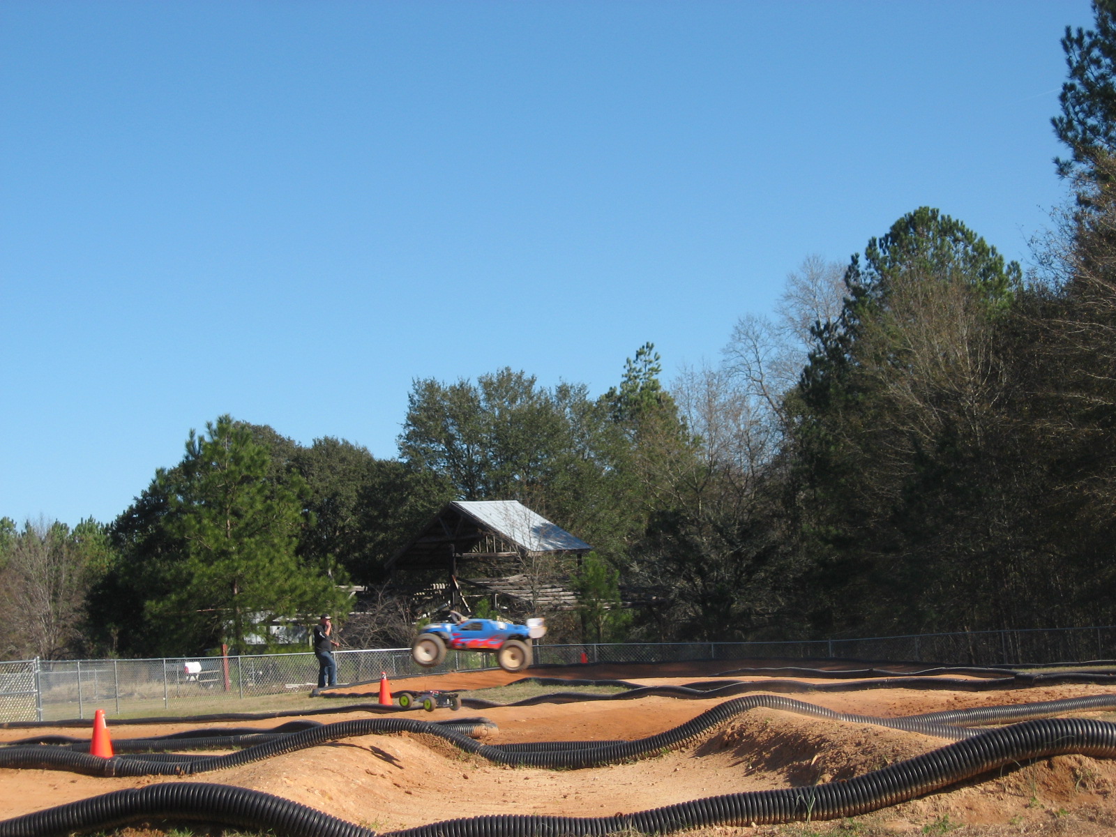
Moncks Corner Race_0021
Lake Reflections

LCS Flourescence
Cypress Grove Sunrise

Cypress Trees
Topographic Map of Wild Cherry Ln, Summerville, SC, USA
Find elevation by address:

Places near Wild Cherry Ln, Summerville, SC, USA:
Sandy Run Circle
Generations Ln, Summerville, SC, USA
CARNES CROSSROADS, SC, USA
1116 Newton Way
Clara Lane
125 Rambo Dr
356 Southport Dr
512 Delafield Dr
115 Rundle Ln
111 Donovan Ct
101 Spaniel Ln
108 Chiles Dr
108 Chiles Dr
201 W 9th N St
103 Cleveland St
615 N Hickory St
200 Bellflower Dr
132 Hazeltine Bend
123 Hazeltine Bend
South Maple Street
Recent Searches:
- Elevation of Corso Fratelli Cairoli, 35, Macerata MC, Italy
- Elevation of Tallevast Rd, Sarasota, FL, USA
- Elevation of 4th St E, Sonoma, CA, USA
- Elevation of Black Hollow Rd, Pennsdale, PA, USA
- Elevation of Oakland Ave, Williamsport, PA, USA
- Elevation of Pedrógão Grande, Portugal
- Elevation of Klee Dr, Martinsburg, WV, USA
- Elevation of Via Roma, Pieranica CR, Italy
- Elevation of Tavkvetili Mountain, Georgia
- Elevation of Hartfords Bluff Cir, Mt Pleasant, SC, USA