Elevation of Wilbanks Drive, Wilbanks Dr, 3, Steele Creek, NC, USA
Location: United States > North Carolina > Mecklenburg County > Steele Creek >
Longitude: -81.043982
Latitude: 35.0552065
Elevation: 193m / 633feet
Barometric Pressure: 99KPa
Elevation Map:
Satellite Map:
Related Photos:

From Darkness To Light
Into the Unknown

Under the Shade Tree
Guiding Light

Receding Waterline
Golf Carts Only
Afternoon Flight
Stormy Skies
The Wonders of Nature
The Fence of Roses
Branching Out

Rainbow in the Clouds - Explored
Sky Reflections

High Water

Beauty emerges from Destruction

Picture in Picture

Set Apart

Clay Vase
Snowstorm 2014 in South Carolina - 1

Snowstorm 2014 in South Carolina - 3

A Smile in the Sky

Bridge Over Shallow Water

The Migration
Bench With a View

Secret Entrance
Beauty on the Banks

IMG_20131019_145459_394[1]

IMG_20131019_145516_057[1]

IMG_20131019_145402_799[1]

Sunset Dec 29: the last ime we saw the sun until Jan 2
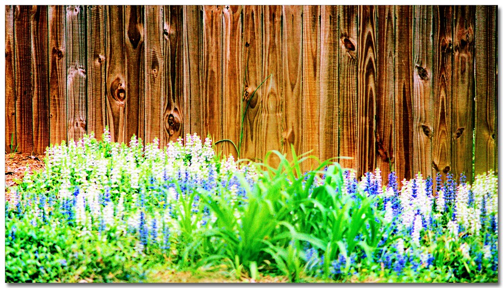
spring weeds by the fence
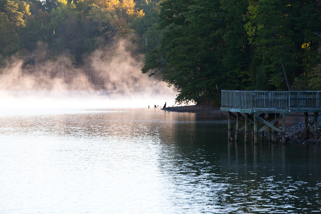
Lake Wylie 10-16-2010 12
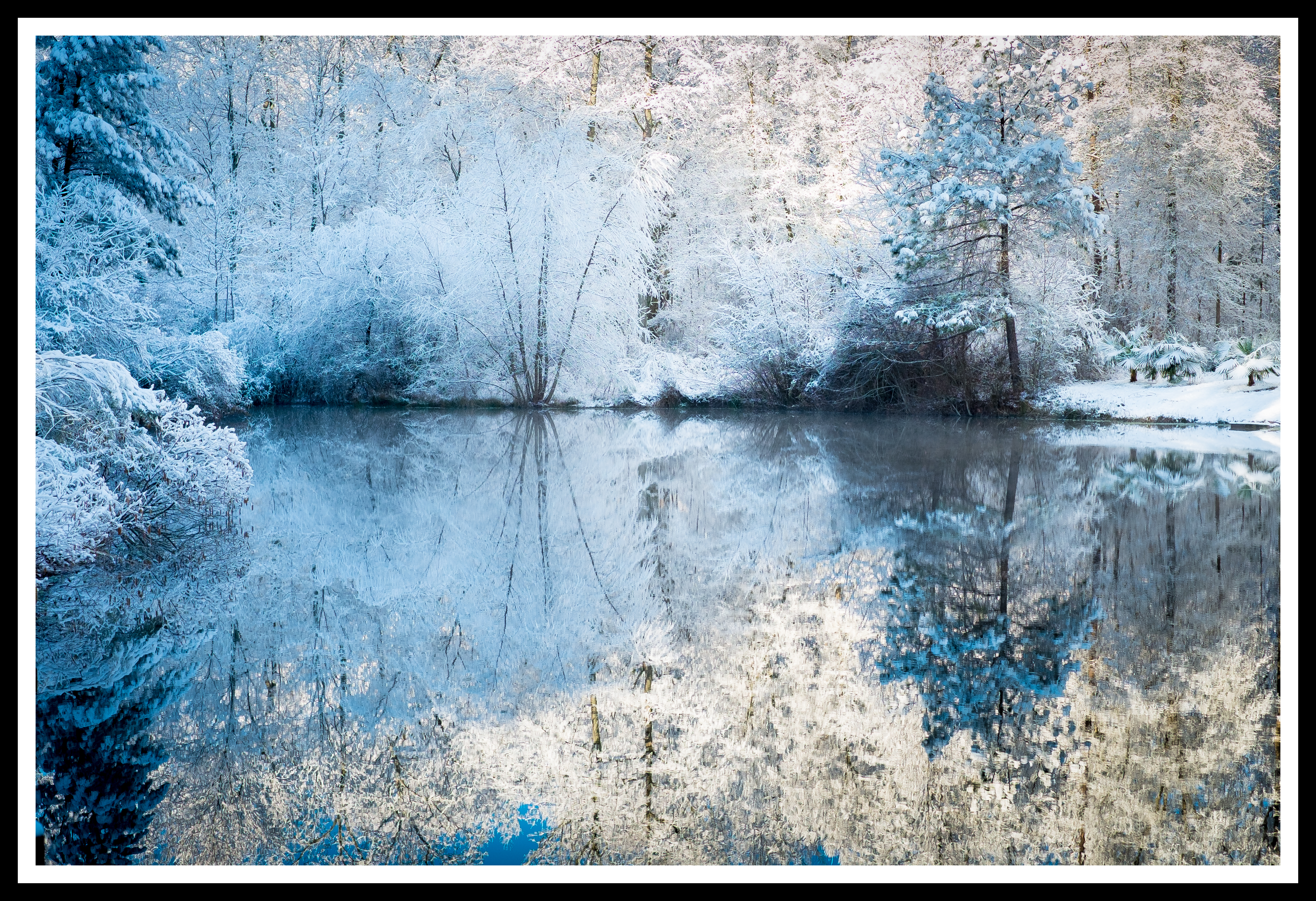
snowy morning

Cats and Filter Play 4 108
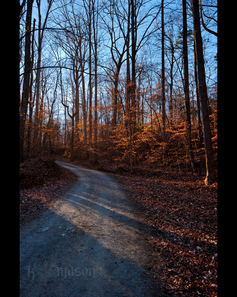
The path ahead

Cats and Filter Play 4 105

Copperhead Island Aug 21 09 038
Arrowpoint Blvd Lake 040

Arrowpoint Blvd Lake 039
Topographic Map of Wilbanks Drive, Wilbanks Dr, 3, Steele Creek, NC, USA
Find elevation by address:

Places near Wilbanks Drive, Wilbanks Dr, 3, Steele Creek, NC, USA:
17803 Wilbanks Dr
17929 New Mark Ave
16925 Luvera Lane
Youngblood Road
5029 Suwarrow Cir
Lakeside Dr, Rock Hill, SC, USA
2155 Tiger Paw Ln
2144 Tiger Paw Ln
2150 Tiger Paw Ln
Tega Cay
15407 Oleander Dr
15024 Thomas Rd
4075 Ridgewood Dr
Kiowa Road
Allison Creek Road
India Hook
737 Golden Bell Dr
12817 Hunting Birds Ln
1151 Stonecrest Blvd
Lake Wylie
Recent Searches:
- Elevation of Corso Fratelli Cairoli, 35, Macerata MC, Italy
- Elevation of Tallevast Rd, Sarasota, FL, USA
- Elevation of 4th St E, Sonoma, CA, USA
- Elevation of Black Hollow Rd, Pennsdale, PA, USA
- Elevation of Oakland Ave, Williamsport, PA, USA
- Elevation of Pedrógão Grande, Portugal
- Elevation of Klee Dr, Martinsburg, WV, USA
- Elevation of Via Roma, Pieranica CR, Italy
- Elevation of Tavkvetili Mountain, Georgia
- Elevation of Hartfords Bluff Cir, Mt Pleasant, SC, USA