Elevation of Whitworth Peak, Fraser Valley B, BC V0X, Canada
Location: Canada > British Columbia > Hope >
Longitude: -121.21222
Latitude: 49.0791666
Elevation: 2227m / 7306feet
Barometric Pressure: 77KPa
Elevation Map:
Satellite Map:
Related Photos:
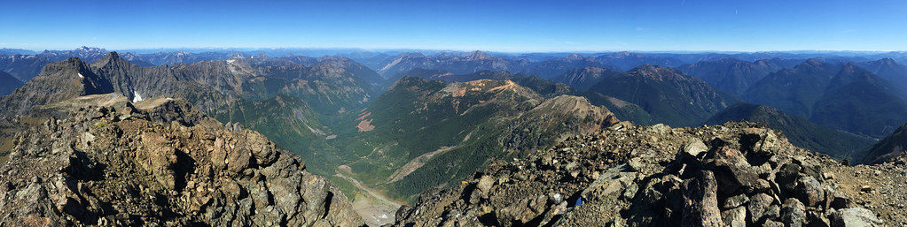
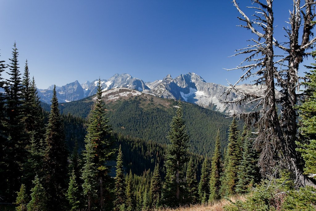
Silvertip Mt Summit View to the North
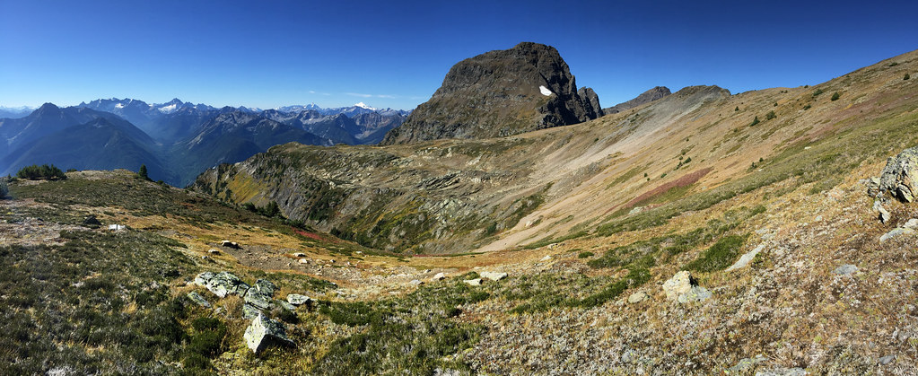
View of the meadow leading up to Silvertip Mt
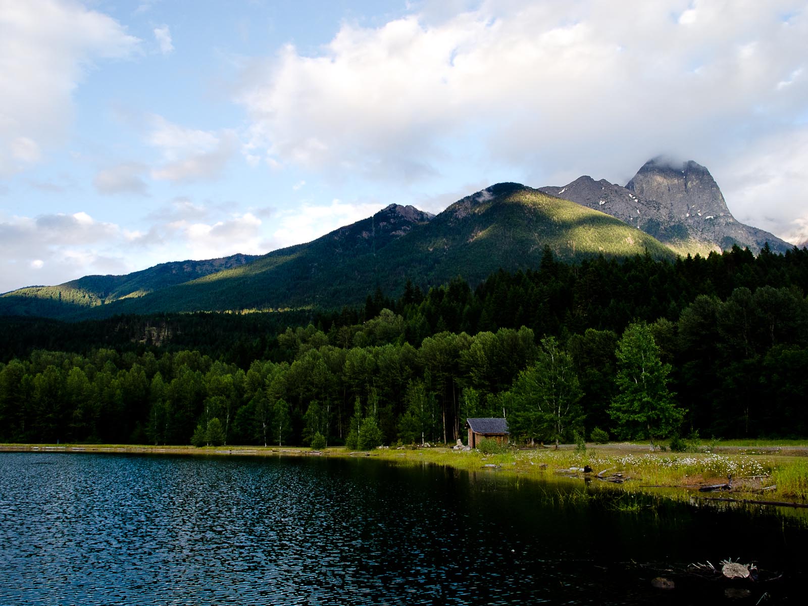
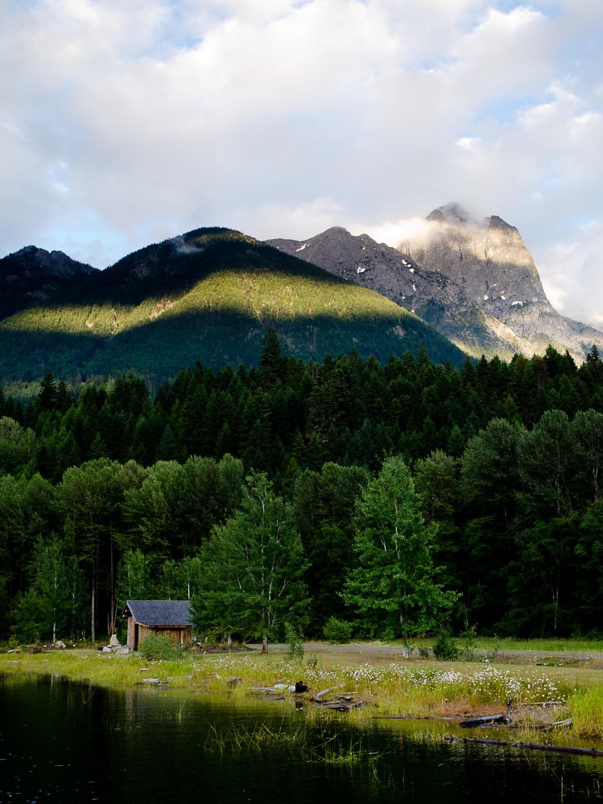
Beaver Creek campsite
Mount Redoubt and Spickard
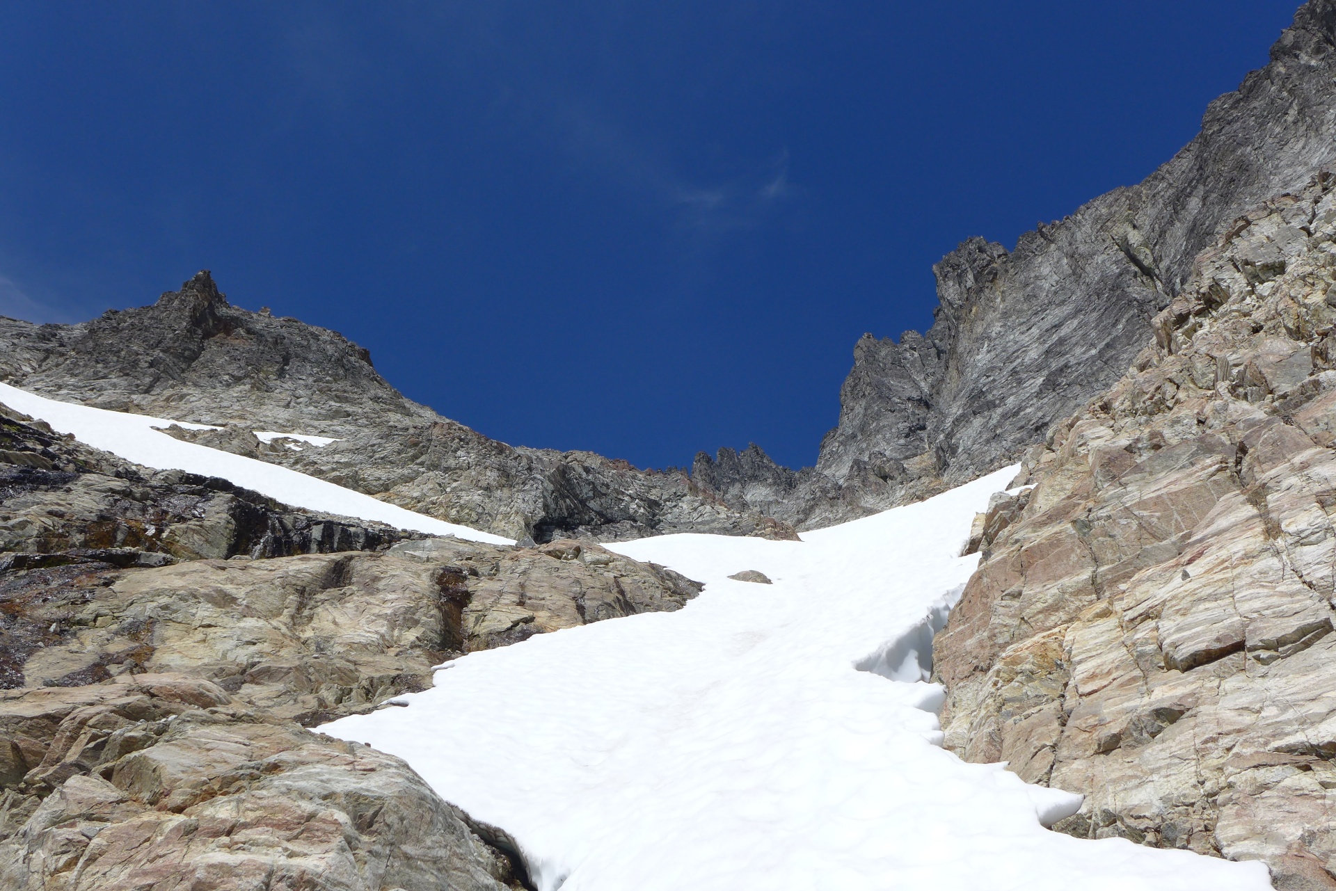
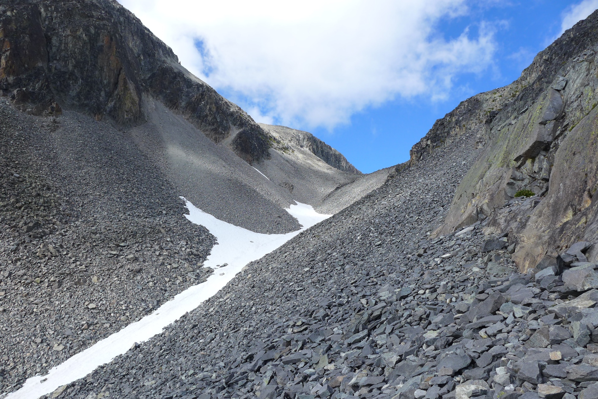
Trail view
Mount Redoubt and Spickard
Mount Redoubt and Spickard
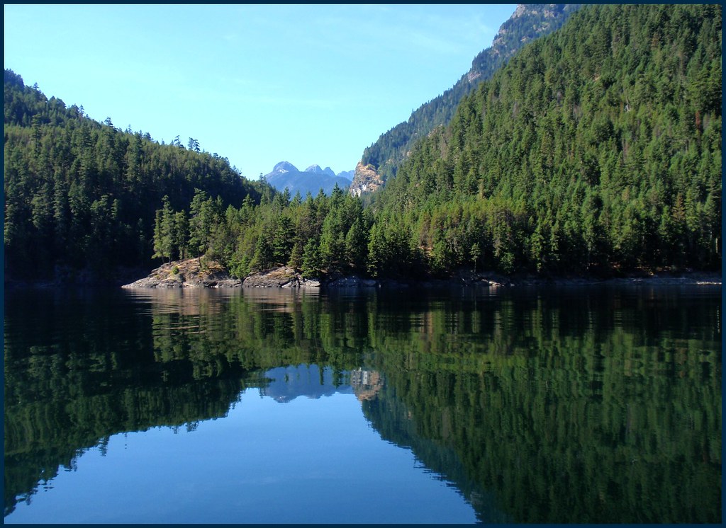
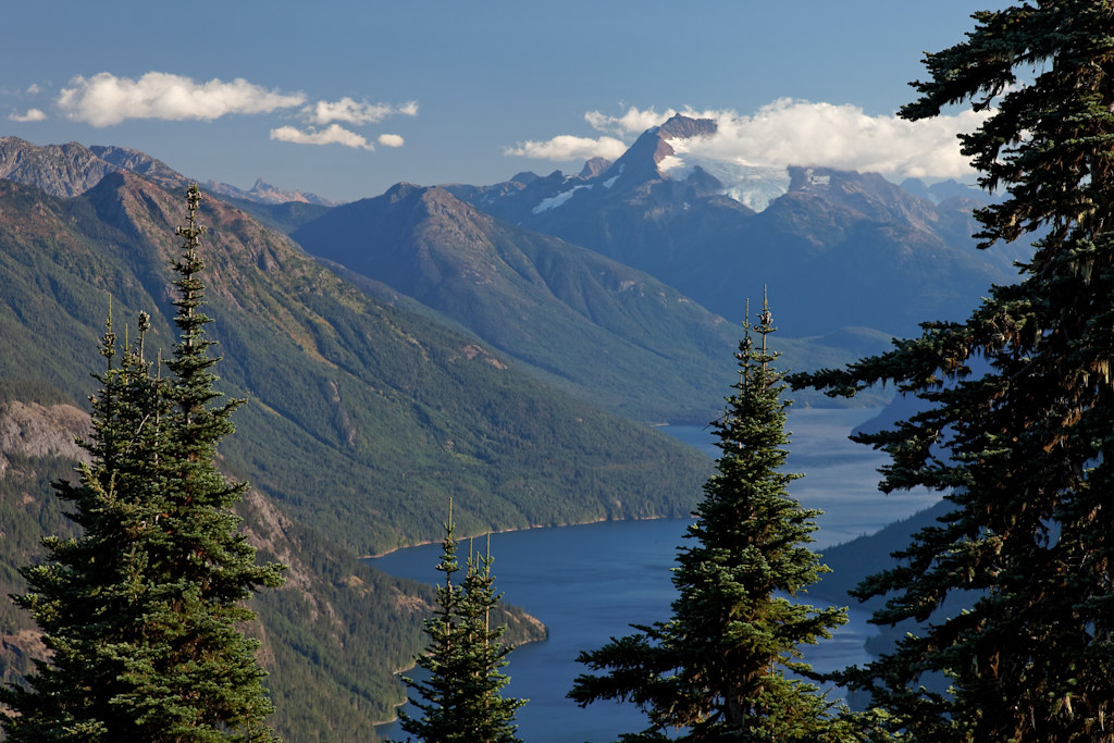
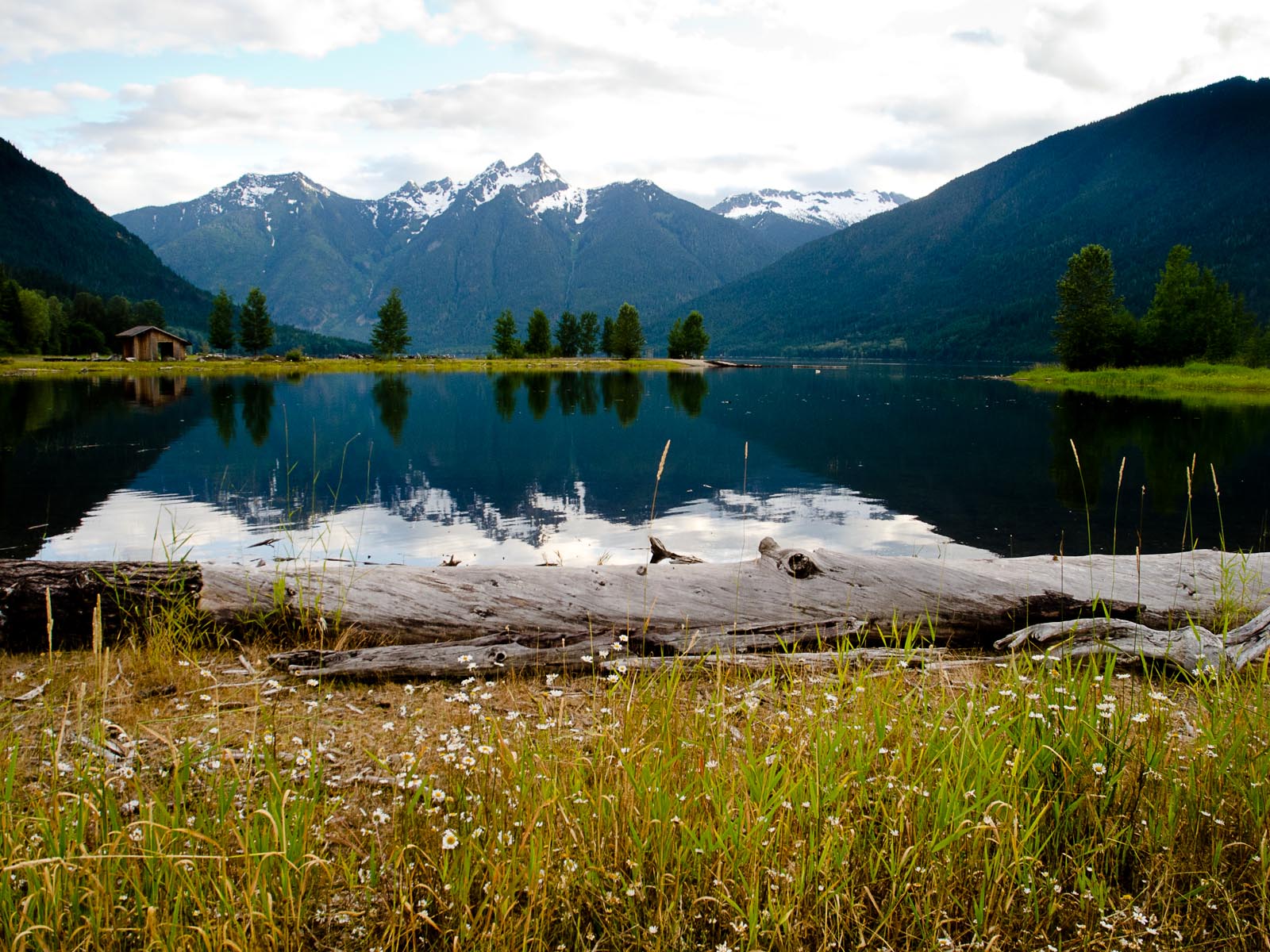
A View to a Lake
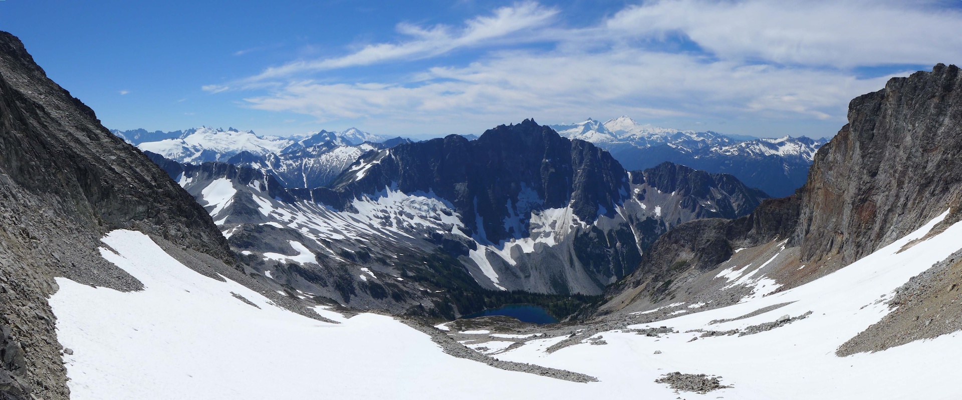
View from the Pass
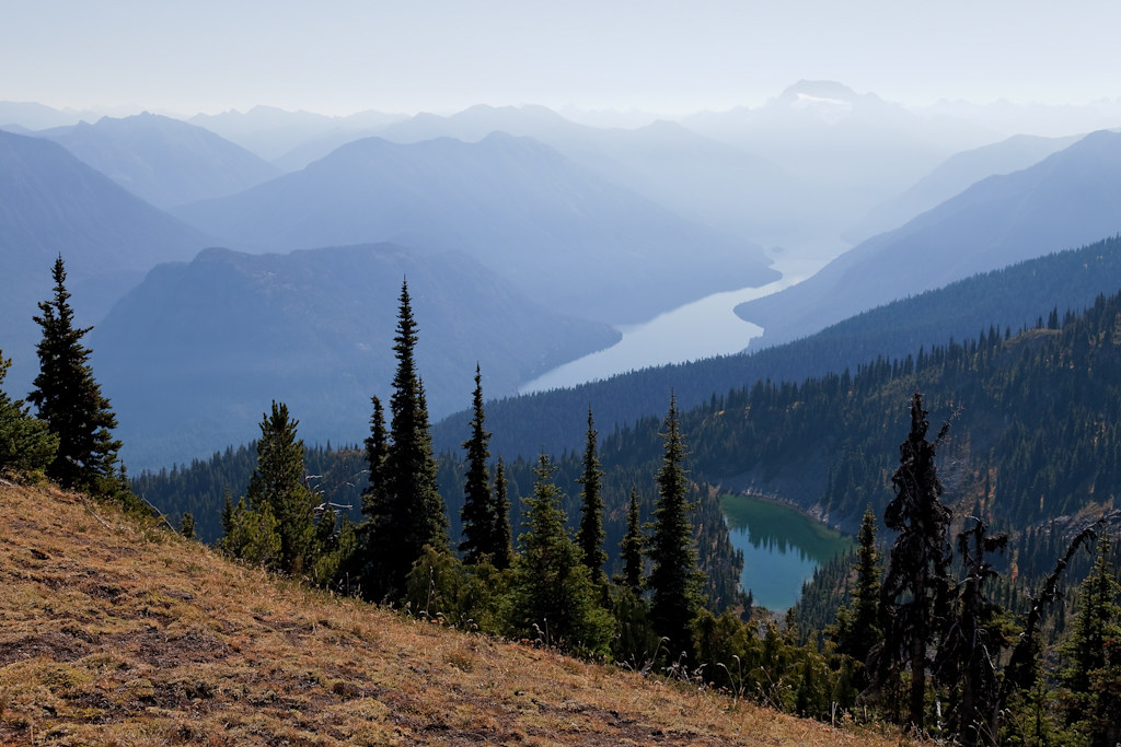
View From Ross Lake Reservoir
View From Ross Lake Reservoir
View From Ross Lake Reservoir
Topographic Map of Whitworth Peak, Fraser Valley B, BC V0X, Canada
Find elevation by address:

Places near Whitworth Peak, Fraser Valley B, BC V0X, Canada:
Finlayson Peak
Mount Lockwood
Silvertip Mountain
Silver Ridge West
Mount Daly
Wright Peak
Thompson Peak
Custer Ridge
Mount Spickard
Custer Ridge
Klesilkwa Mountain
Mox Peaks Hp
Mount Edgar
Klesilkwa S1
Mount Andrews
Mount Redoubt
Shawatum Mountain
Mount Brice
Hozomeen Campground
Mount Holden
Recent Searches:
- Elevation of Corso Fratelli Cairoli, 35, Macerata MC, Italy
- Elevation of Tallevast Rd, Sarasota, FL, USA
- Elevation of 4th St E, Sonoma, CA, USA
- Elevation of Black Hollow Rd, Pennsdale, PA, USA
- Elevation of Oakland Ave, Williamsport, PA, USA
- Elevation of Pedrógão Grande, Portugal
- Elevation of Klee Dr, Martinsburg, WV, USA
- Elevation of Via Roma, Pieranica CR, Italy
- Elevation of Tavkvetili Mountain, Georgia
- Elevation of Hartfords Bluff Cir, Mt Pleasant, SC, USA