Elevation of Whittington Rd, Exmore, VA, USA
Location: United States > Virginia > Northampton County > >
Longitude: -75.959864
Latitude: 37.490305
Elevation: 3m / 10feet
Barometric Pressure: 101KPa
Elevation Map:
Satellite Map:
Related Photos:
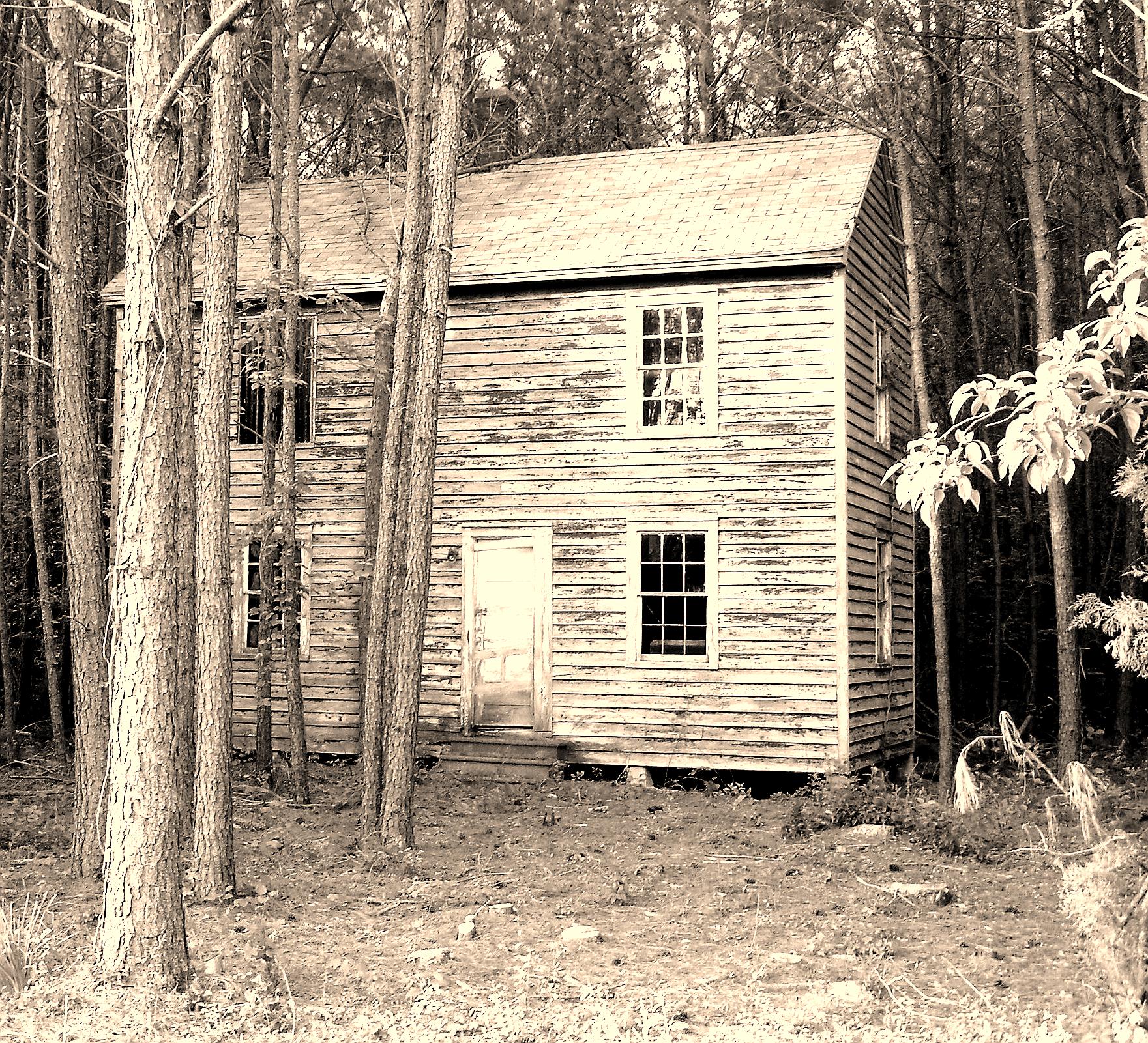
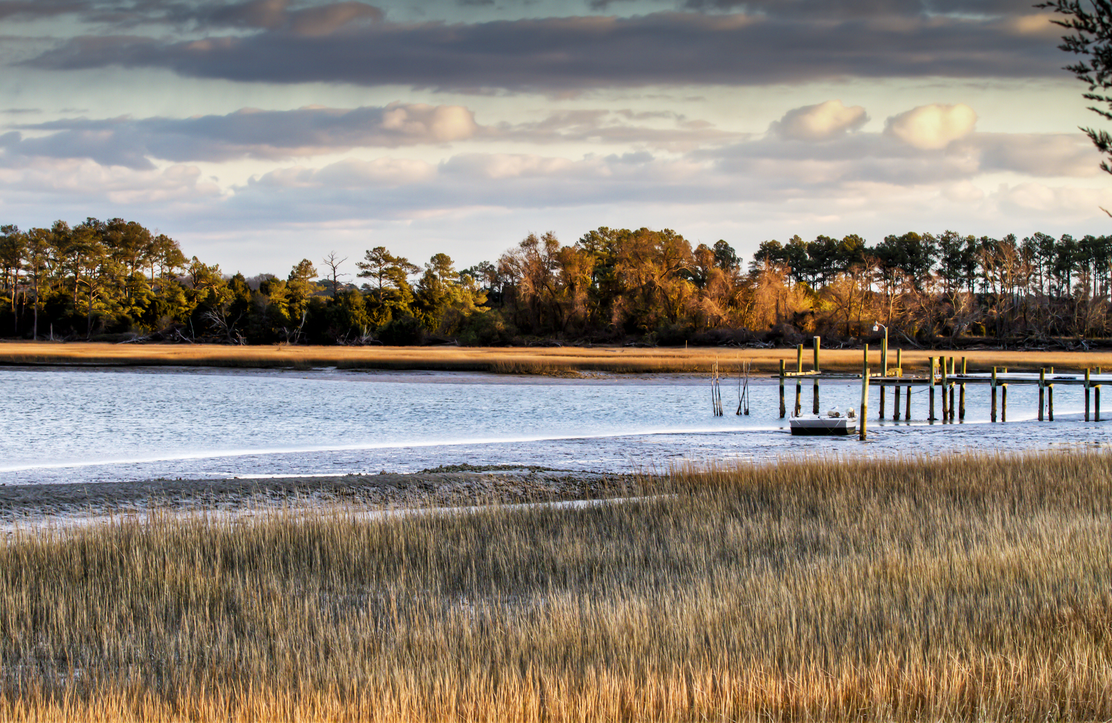
Near Cedar View, Virginia
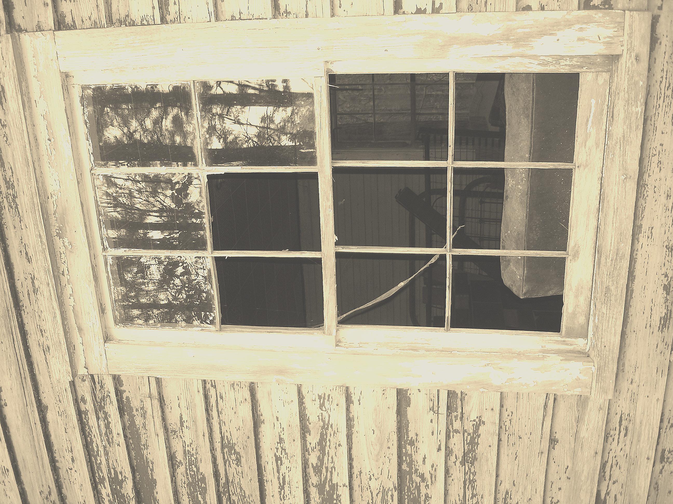
Taking a peek...
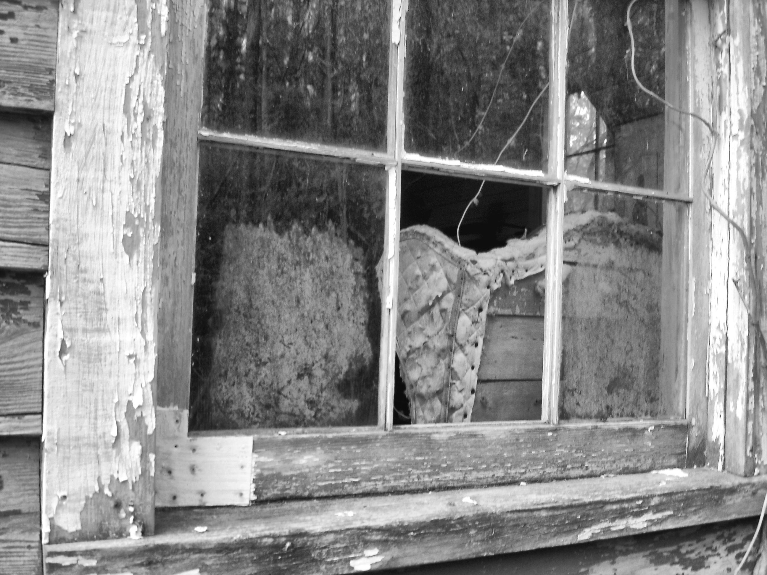
Looking at you through the glass...
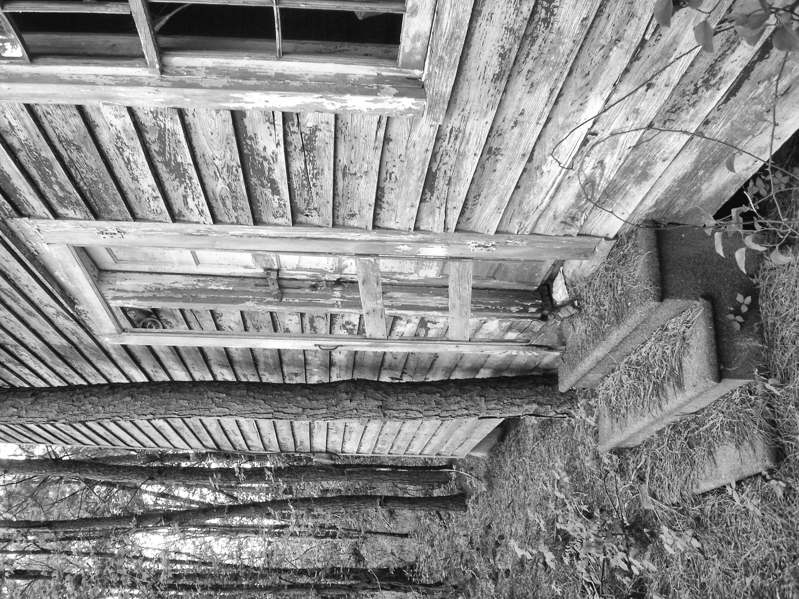
Watch your step
Tree house
Exmore - Willis Wharf school

Silver Beach Sunset over the Chesapeake
Lamium amplexicaule (3)
#nature #bridge
On the Water

Bridge to sunset
Topographic Map of Whittington Rd, Exmore, VA, USA
Find elevation by address:

Places near Whittington Rd, Exmore, VA, USA:
Silver Beach
Chesapeake Dr, Exmore, VA, USA
Peaceful Way
Chesawadox Dr, Exmore, VA, USA
9943 Church Neck Rd
Church Neck Rd, Machipongo, VA, USA
3298 Sunset Run
T-1510
Sparrow Point Rd, Machipongo, VA, USA
11490 T-1510
Quail Lane
Peacock Lane
Wilsonia Drive
Wilsonia Neck Dr, Machipongo, VA, USA
Barlow Creek Ln, Cape Charles, VA, USA
3472 Barlow Creek Ln
4, VA, USA
15638 Smith Beach Rd
Chesapeake Bay
Cheriton Cross Rd, Cape Charles, VA, USA
Recent Searches:
- Elevation of Corso Fratelli Cairoli, 35, Macerata MC, Italy
- Elevation of Tallevast Rd, Sarasota, FL, USA
- Elevation of 4th St E, Sonoma, CA, USA
- Elevation of Black Hollow Rd, Pennsdale, PA, USA
- Elevation of Oakland Ave, Williamsport, PA, USA
- Elevation of Pedrógão Grande, Portugal
- Elevation of Klee Dr, Martinsburg, WV, USA
- Elevation of Via Roma, Pieranica CR, Italy
- Elevation of Tavkvetili Mountain, Georgia
- Elevation of Hartfords Bluff Cir, Mt Pleasant, SC, USA