Elevation of Whiting, VT, USA
Location: United States > Vermont > Addison County >
Longitude: -73.200392
Latitude: 43.8639503
Elevation: 119m / 390feet
Barometric Pressure: 100KPa
Elevation Map:
Satellite Map:
Related Photos:

Big Mountain View to Brandon

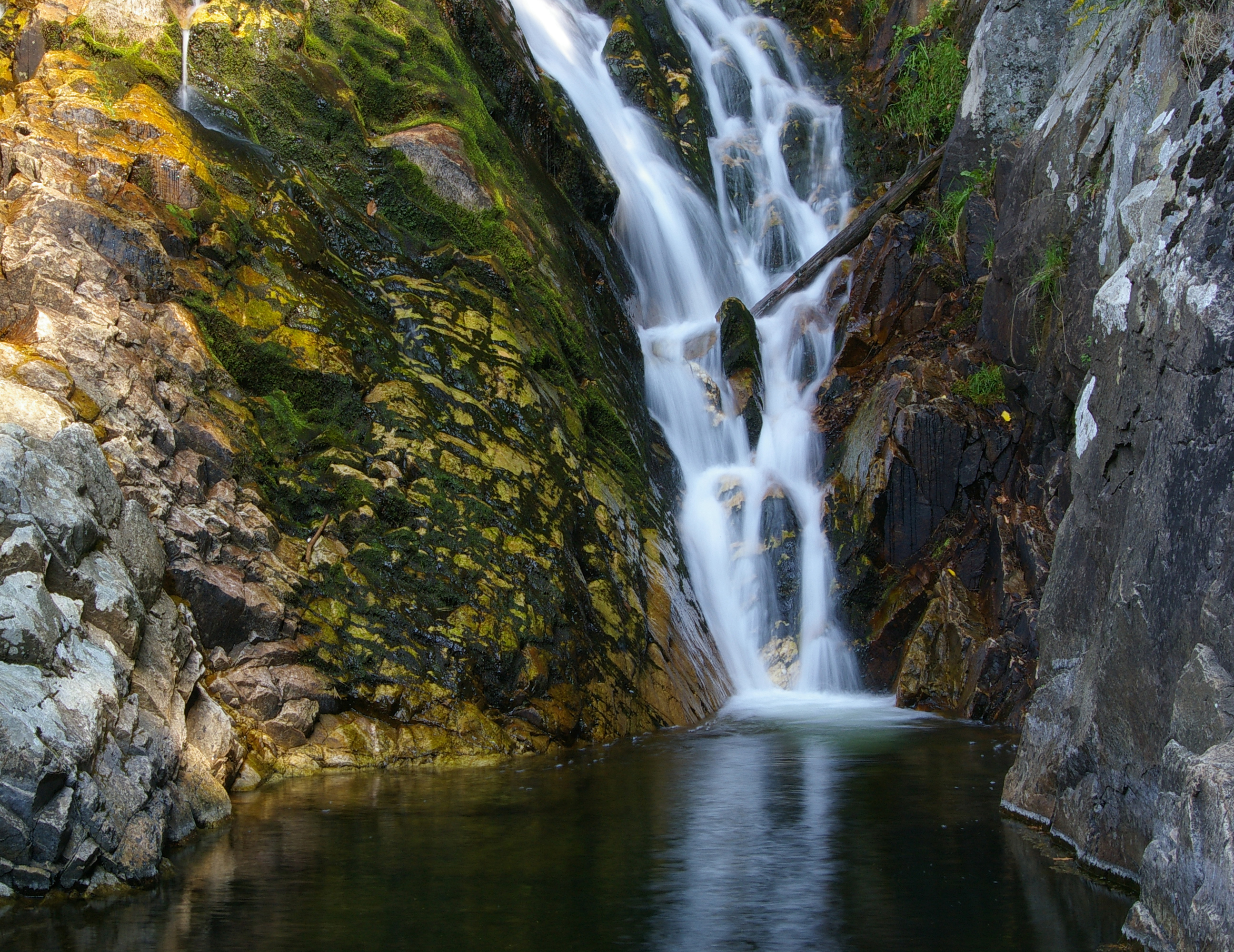
Falls of Lana - Vermont

Brandon Gap

Overlooking Lake Dunmore
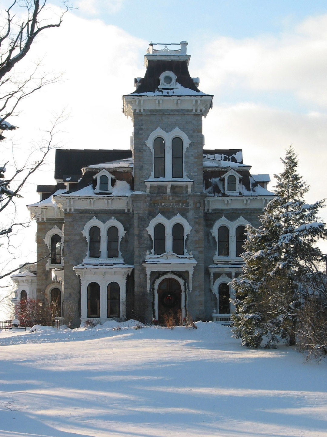
Shard Villa (1872-1874) – Winter views
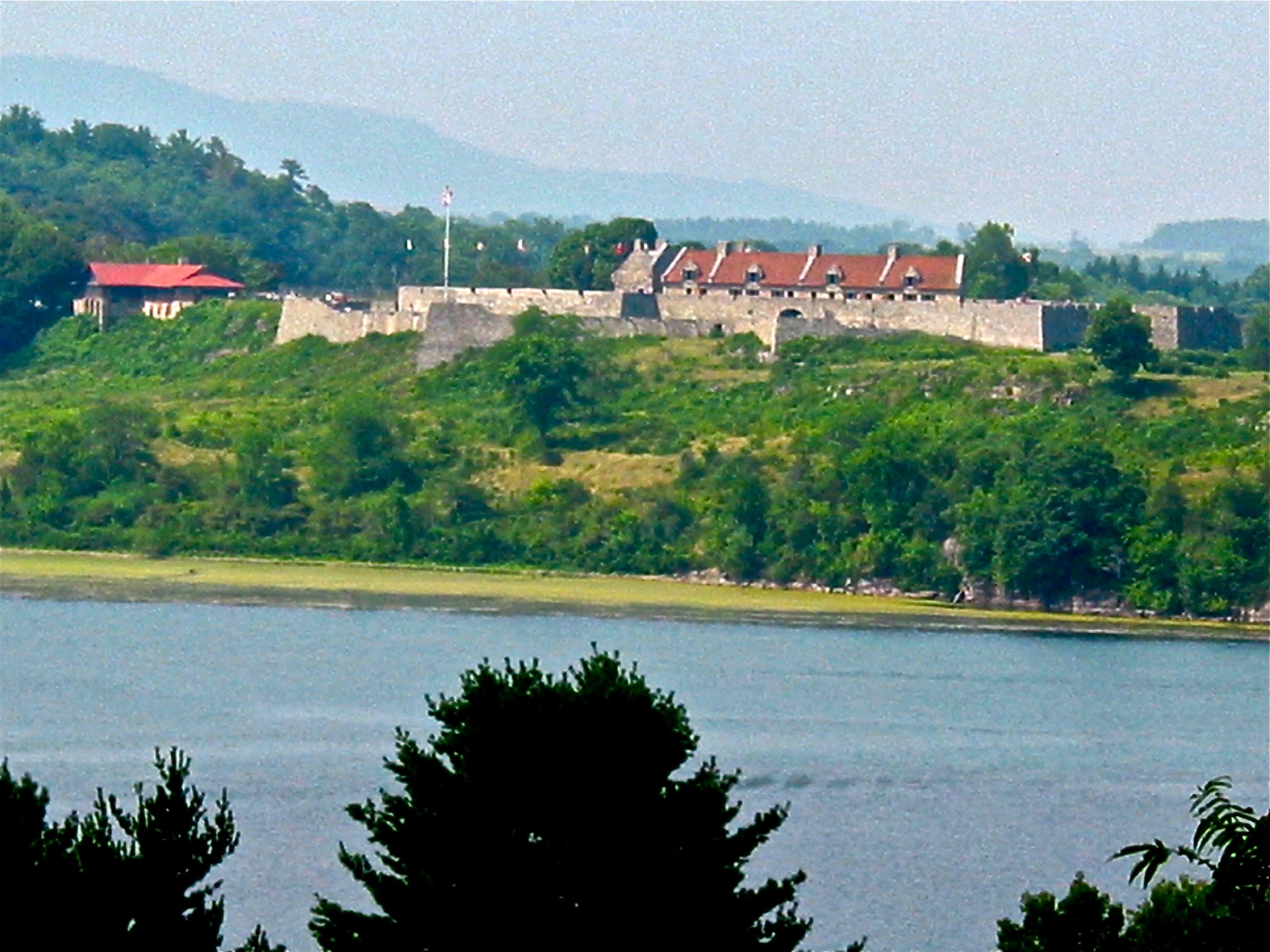
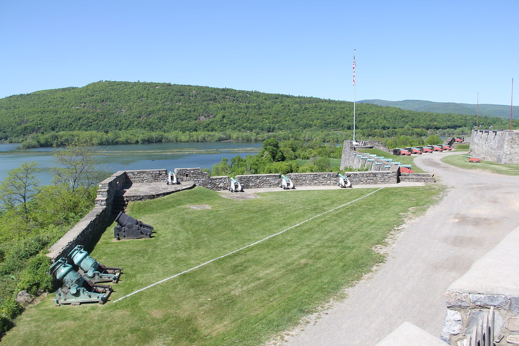
View of Lake Champlain from Fort Ticonderoga

Giant Swallowtail, ventral view

35.27
IMG 010
Mount Independence (1776) - view of Fort Ticonderoga (in NY)
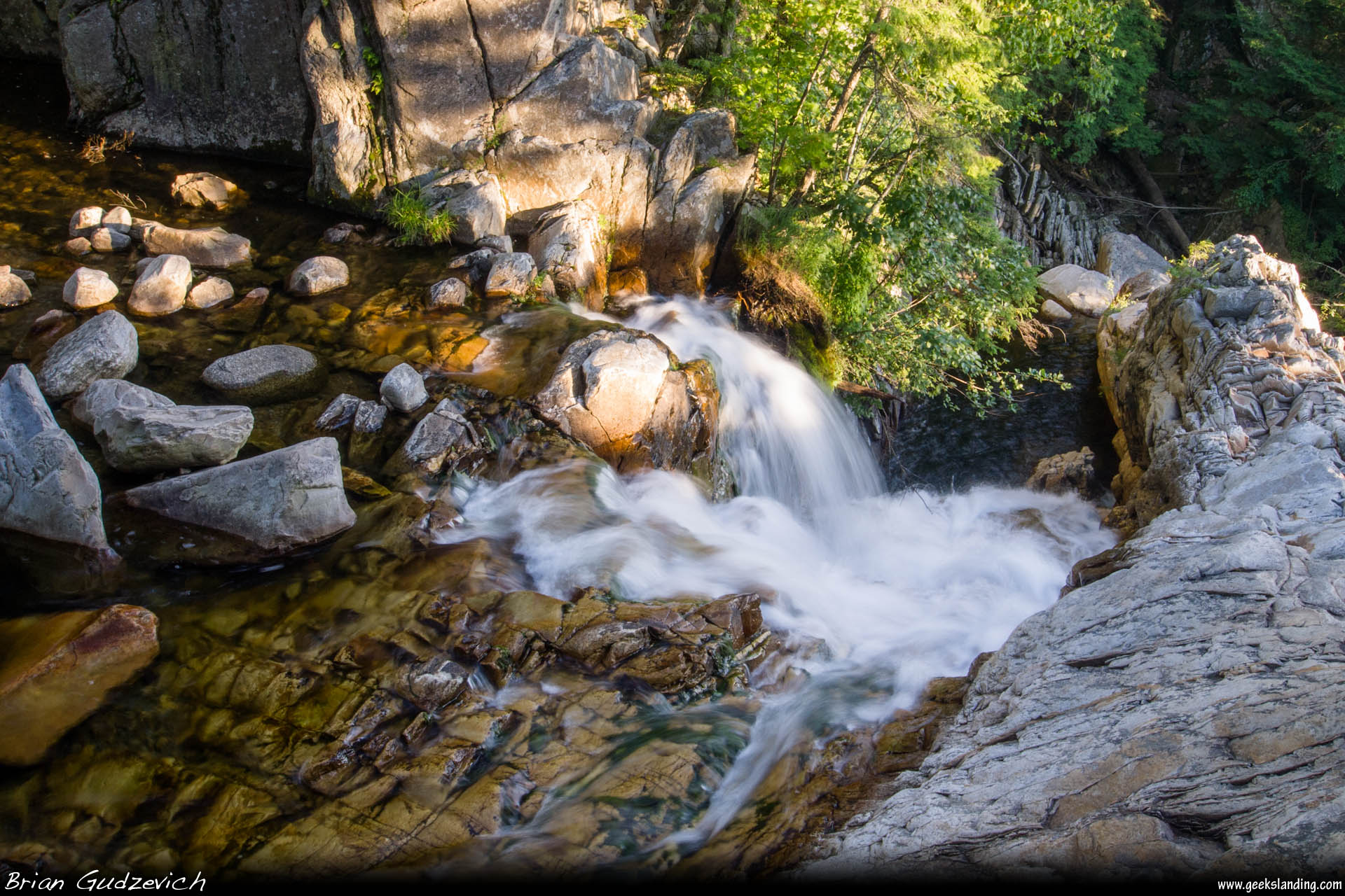
Down The Falls

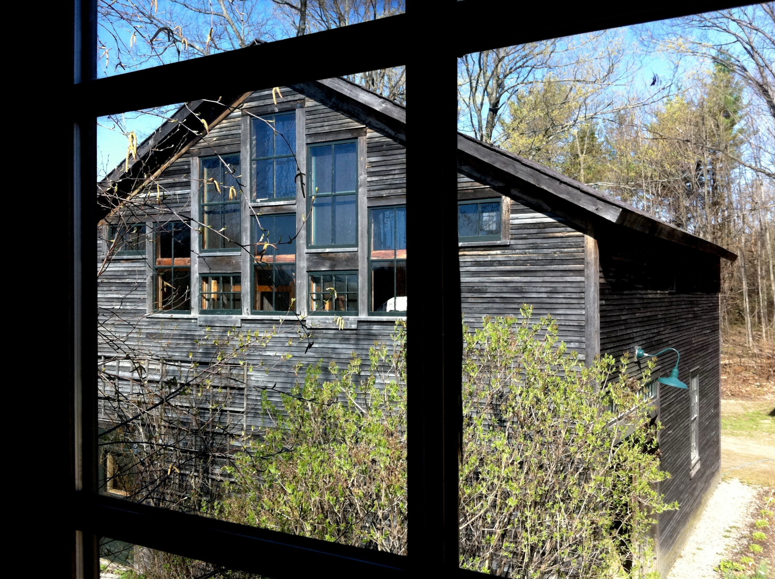
Framed Falls

Into the Sun

#Beautiful old #FarmHouse in #Orwell, #Vermont. Passing by trying to check out #MtIndependence, we made a dif turn and ended up passing by this #amazing view of the #field, #barn, and great #clouds in the #blue #sky! - 11/09/2013

Fort Ticonderoga, NY - Shutter
The Barn
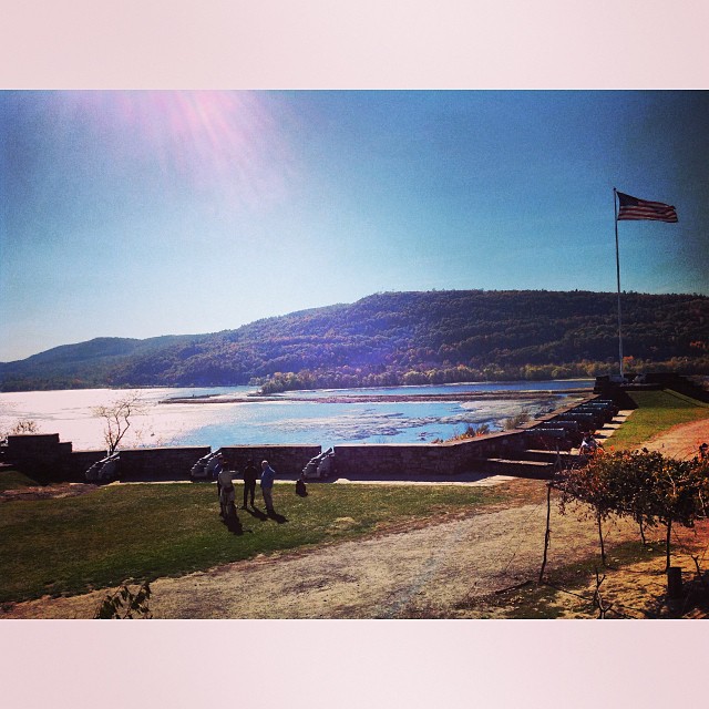
Fort Ti has a pretty nice view
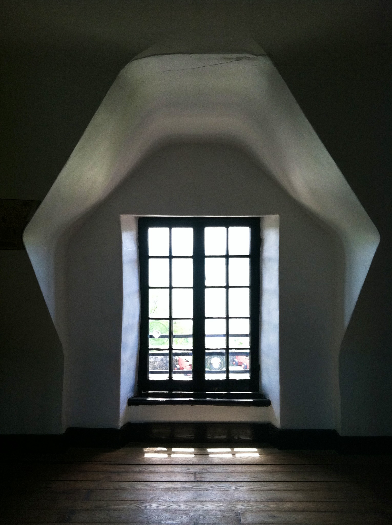
Fort Ticonderoga, NY - Upper Gallery Window

eGypsy in Winter • sunset.reflection
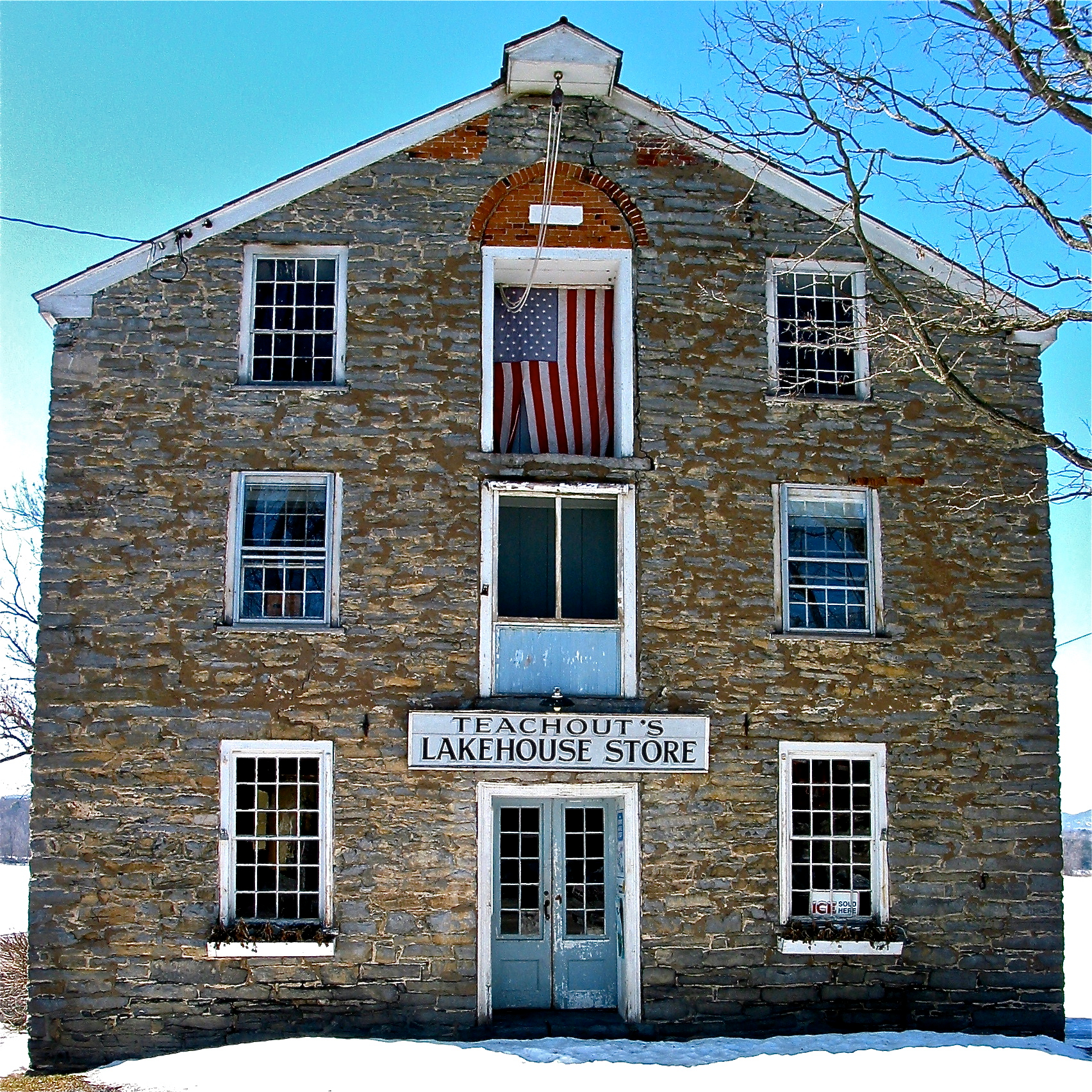
Larrabee's Point (VT) Warehouse (1823)
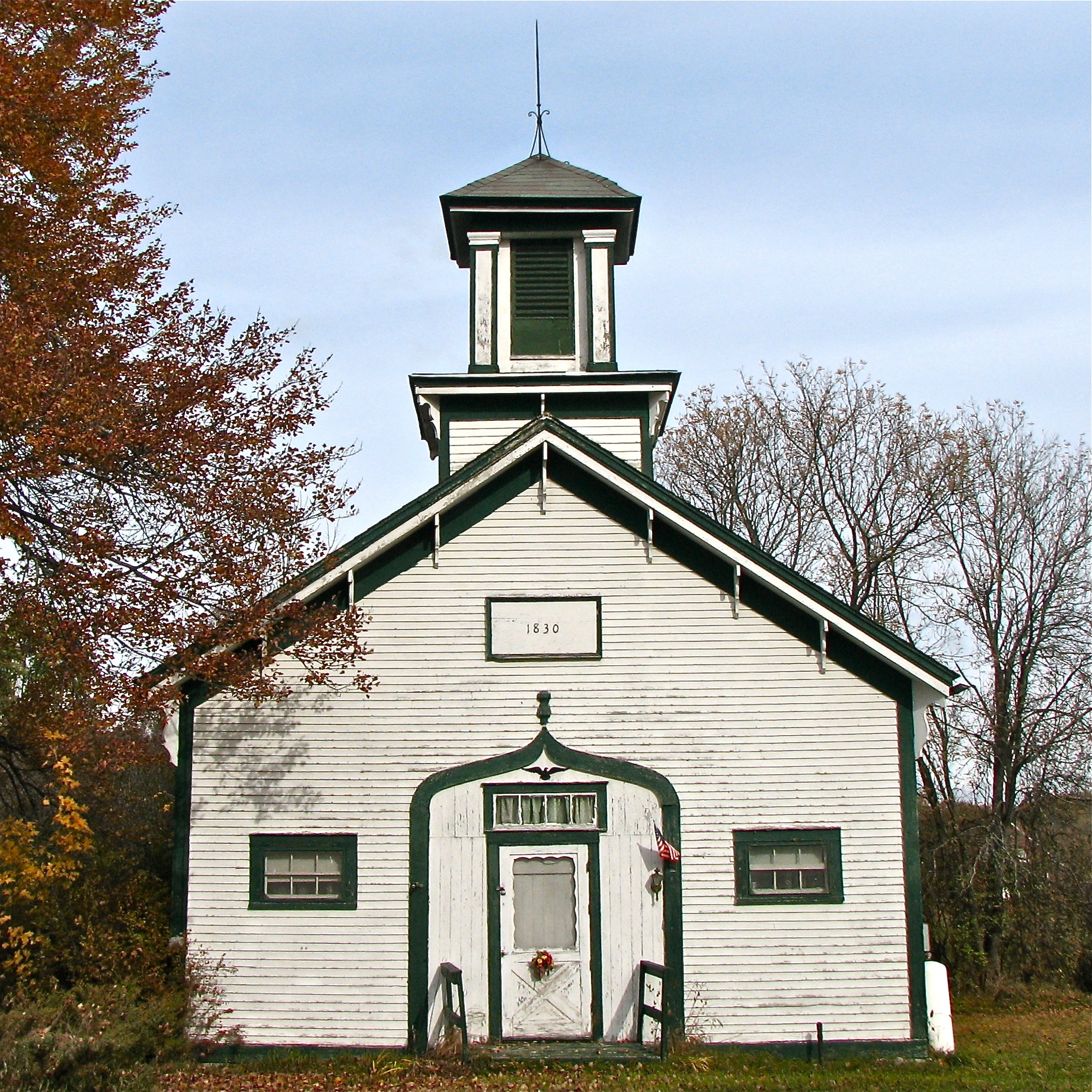
Cornwall School House Nº 3 (1830) – front, southern view

Spectacular Sky
at the edge of light
Green Grass of Home

1880 barn

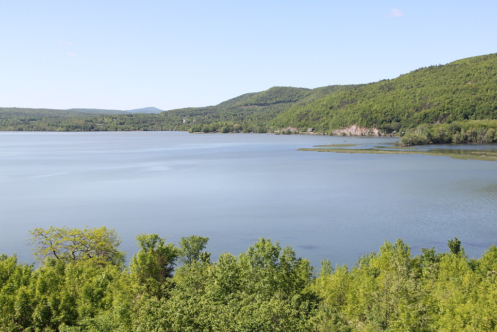
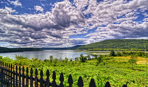
Lake Champlain

_RWB9487-Edit.jpg
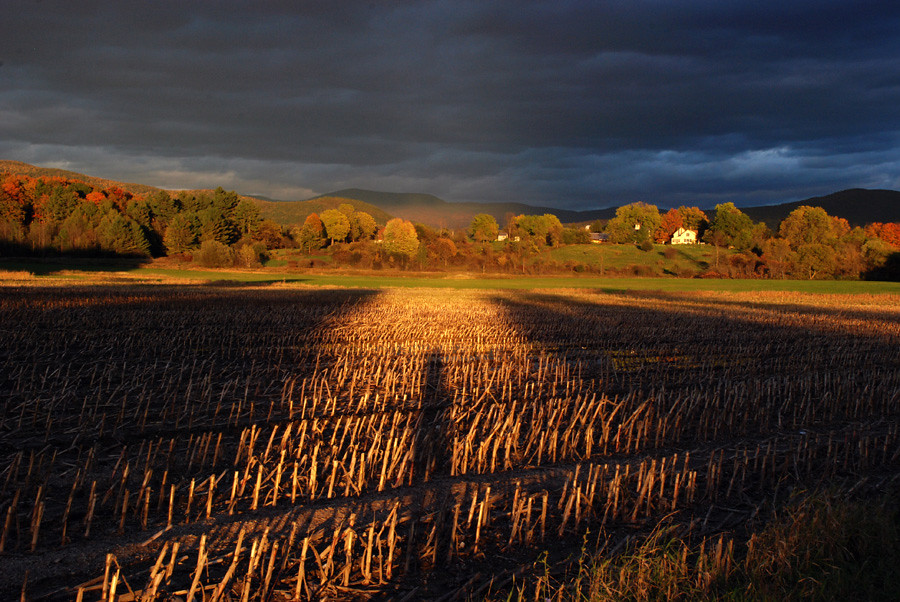
as the light moves across the landscape

No Editing, I Swear #vermont #802 #vt #sky #trees #ice #beautiful #pretty #blue #igmood #winter #snow

Falls of Lana
IMGP0139 copy
step into the light
Lake Champlain and Mount Defiance
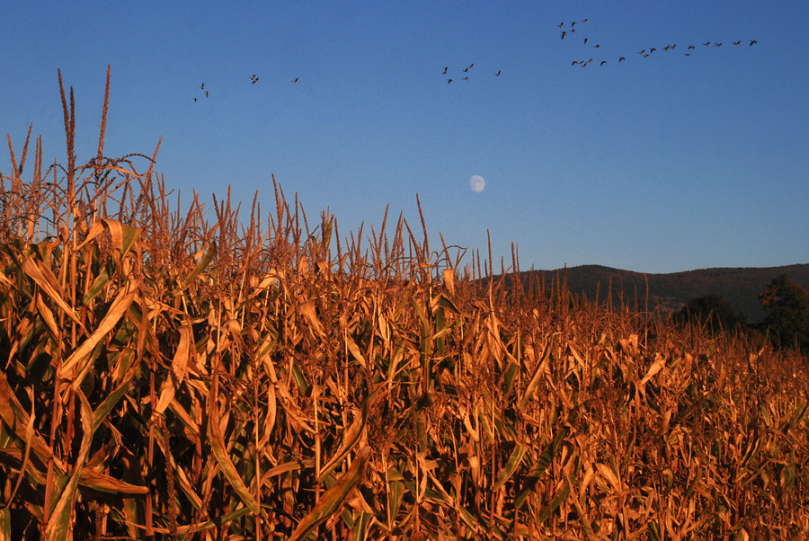
as the geese fly over the moon
Fort Ticonderoga

D90-5922A

Vermont farm, tractor work. #vermont #tractor #farm #bluesky

Upper Falls
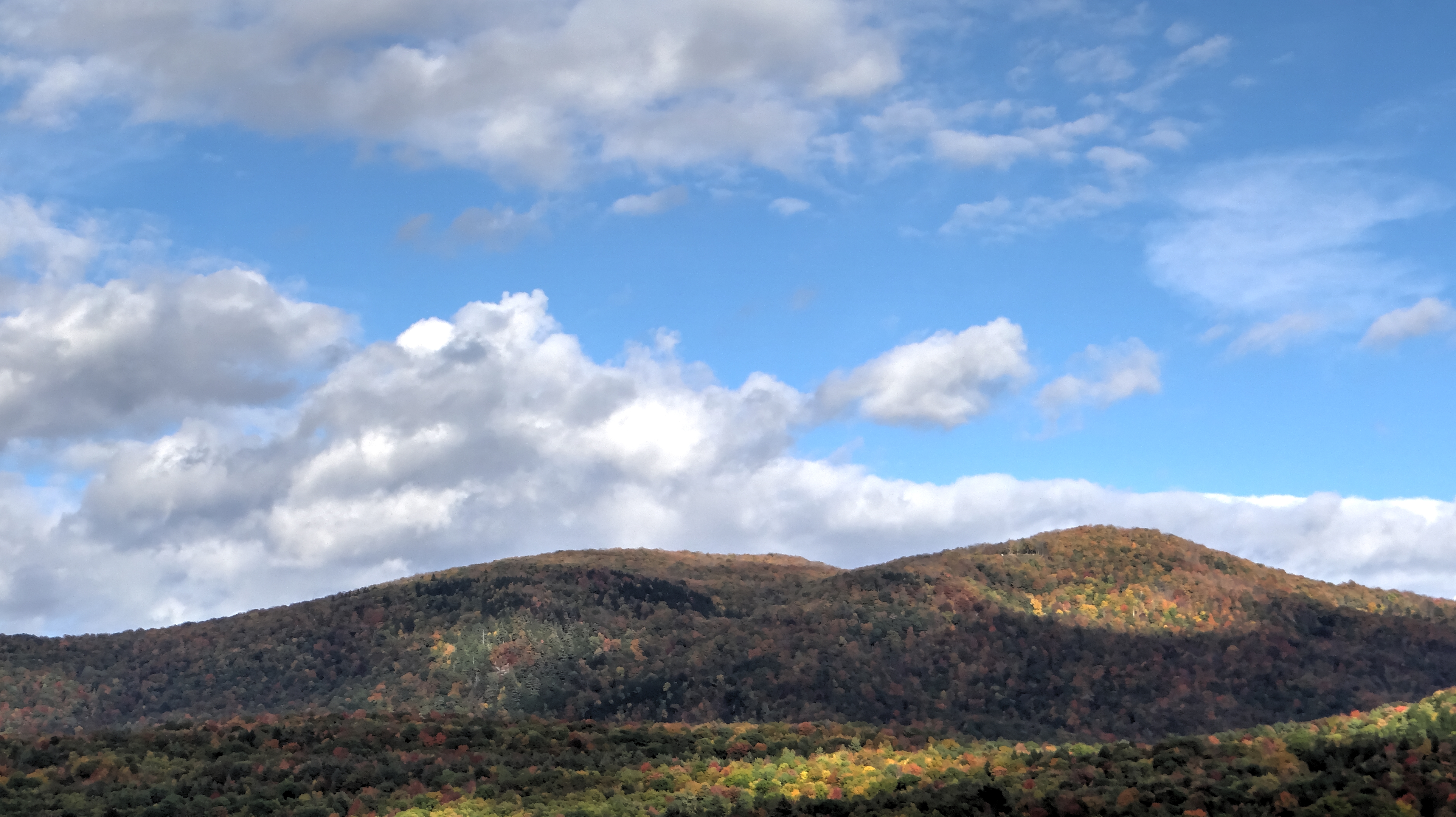
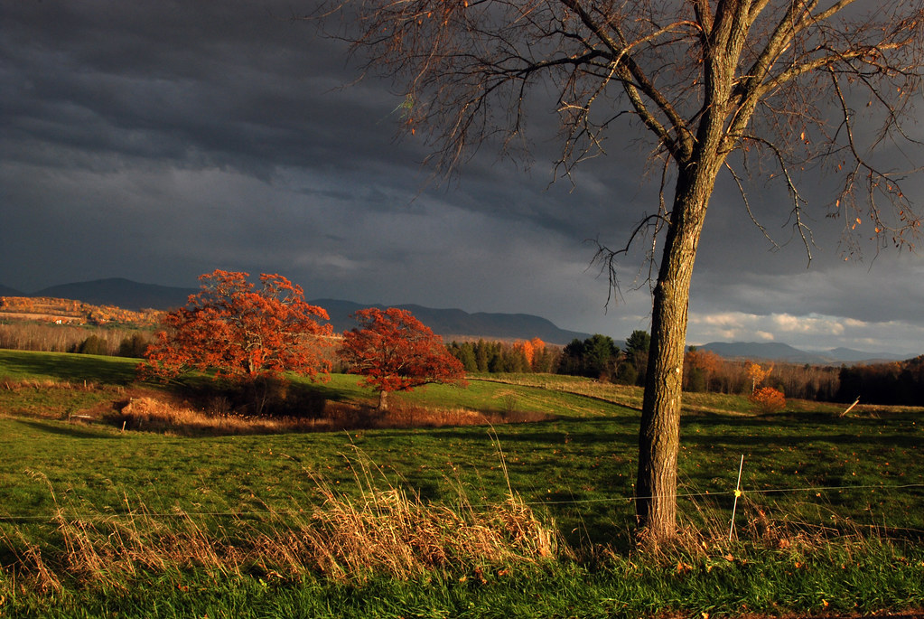
Fall in New England
Topographic Map of Whiting, VT, USA
Find elevation by address:

Places in Whiting, VT, USA:
Places near Whiting, VT, USA:
South Main Street
326 W Rd
84 Galvin Rd
83 Philion Rd, Shoreham, VT, USA
7 Pepper Ln
Burke Road
Shoreham
Fort Ticonderoga
30 Fort Ti Rd, Ticonderoga, NY, USA
Wrights Ferry Rd, Putnam Station, NY, USA
29 Wrights Ferry Rd
219 Montcalm St
Ticonderoga
112 Montcalm St
5 Calkins Pl
21 3rd Ave
11 Temperance Point, Ticonderoga, NY, USA
Old Chilson Road
Street Road
Recent Searches:
- Elevation of Corso Fratelli Cairoli, 35, Macerata MC, Italy
- Elevation of Tallevast Rd, Sarasota, FL, USA
- Elevation of 4th St E, Sonoma, CA, USA
- Elevation of Black Hollow Rd, Pennsdale, PA, USA
- Elevation of Oakland Ave, Williamsport, PA, USA
- Elevation of Pedrógão Grande, Portugal
- Elevation of Klee Dr, Martinsburg, WV, USA
- Elevation of Via Roma, Pieranica CR, Italy
- Elevation of Tavkvetili Mountain, Georgia
- Elevation of Hartfords Bluff Cir, Mt Pleasant, SC, USA