Elevation of Whitetail Lake, East Kootenay F, BC V0B, Canada
Location: Canada > British Columbia > East Kootenay > East Kootenay F > Fairmont Hot Springs >
Longitude: -116.02771
Latitude: 50.2139131
Elevation: 1097m / 3599feet
Barometric Pressure: 89KPa
Elevation Map:
Satellite Map:
Related Photos:
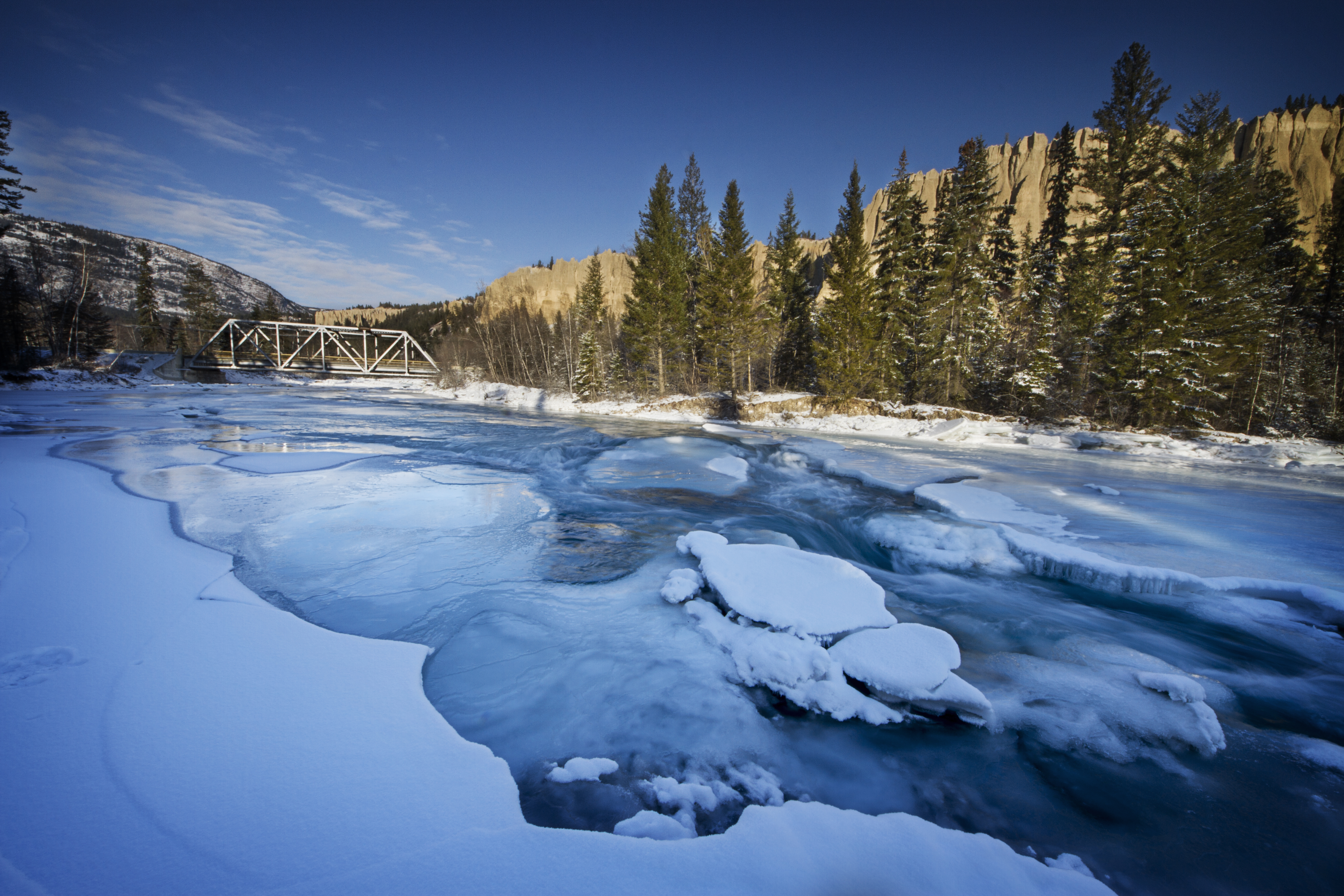
Dutch Creek Rockies
The Mountain View
The Mountain View

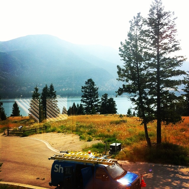
The view from my office this afternoon. #thatsourcolumbiavalley
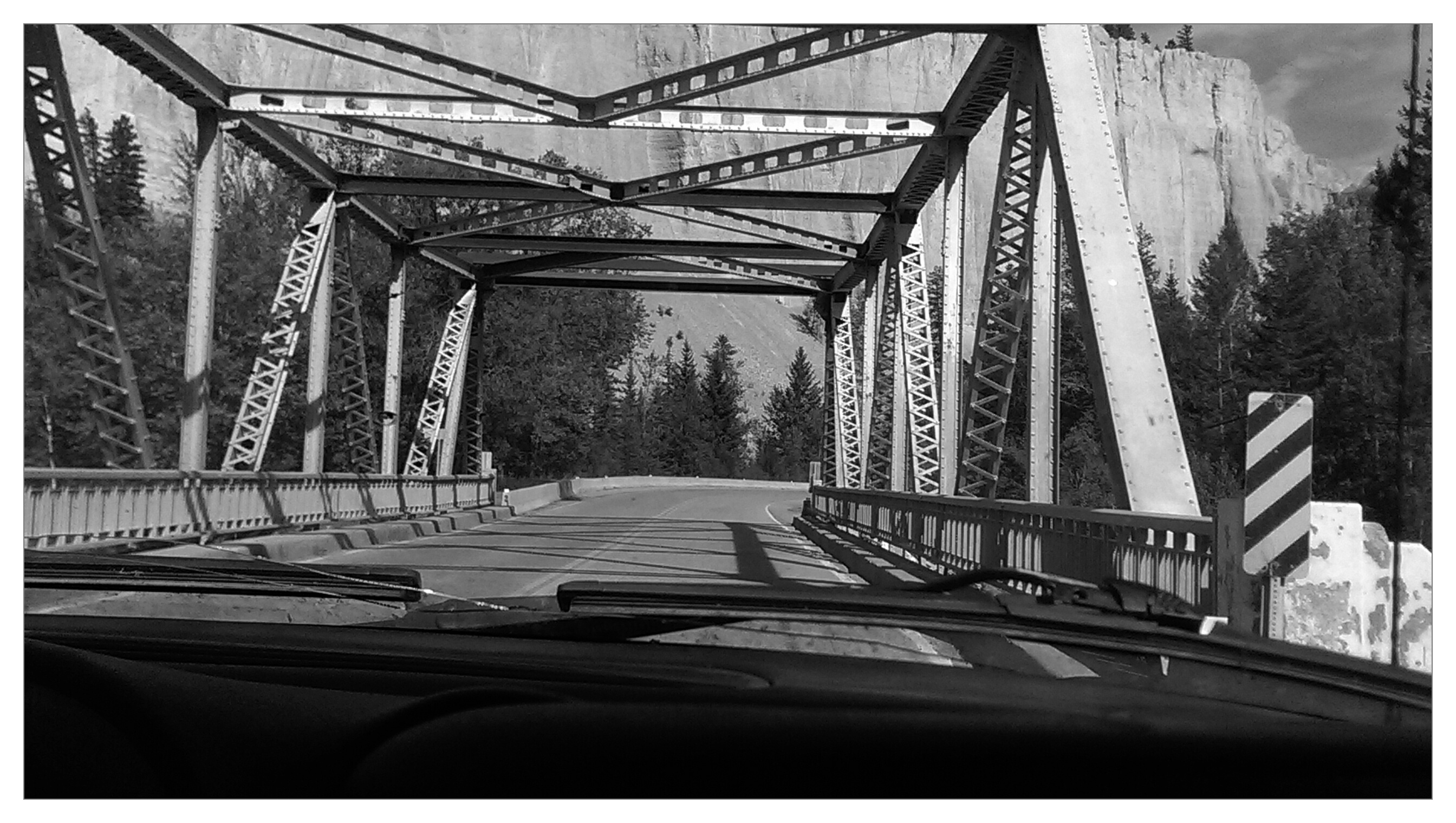
Dutch Creek Bridge
The Mountain View
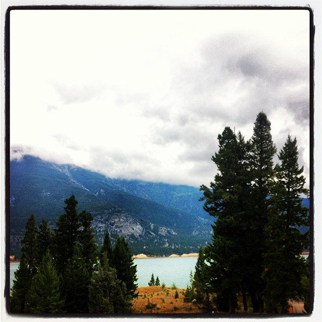
The gloomy view from my office today. #ilivewhereyouvacation
The Mountain View
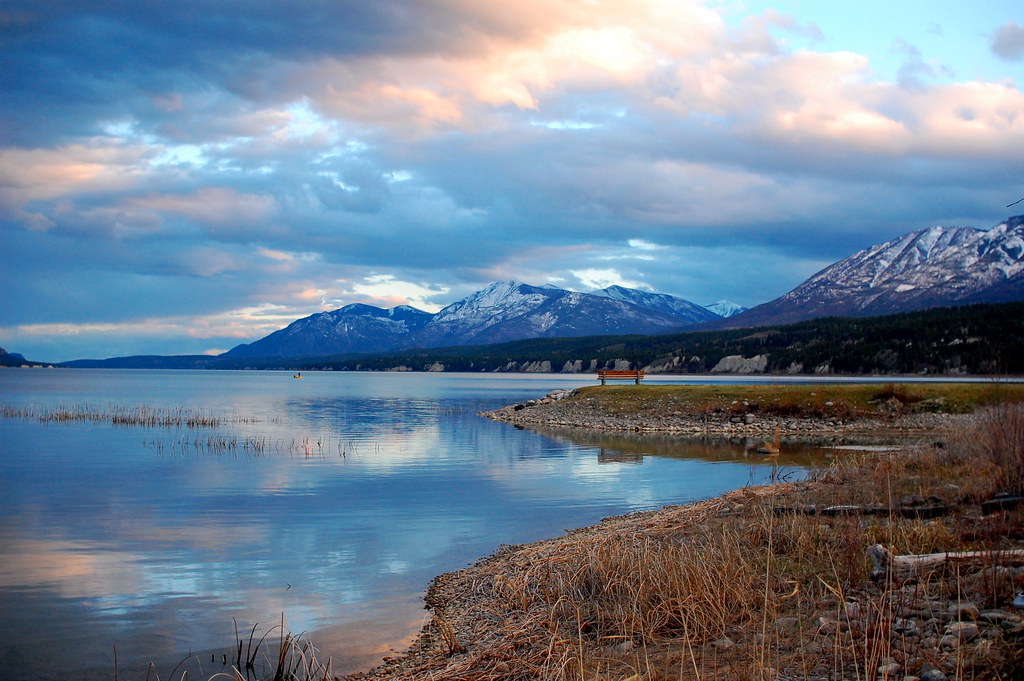
Columbia Lake
And here is the view OF my office this morning. #thatsourcolumbiavalley

Golden Shower

Findlay Creek Falls
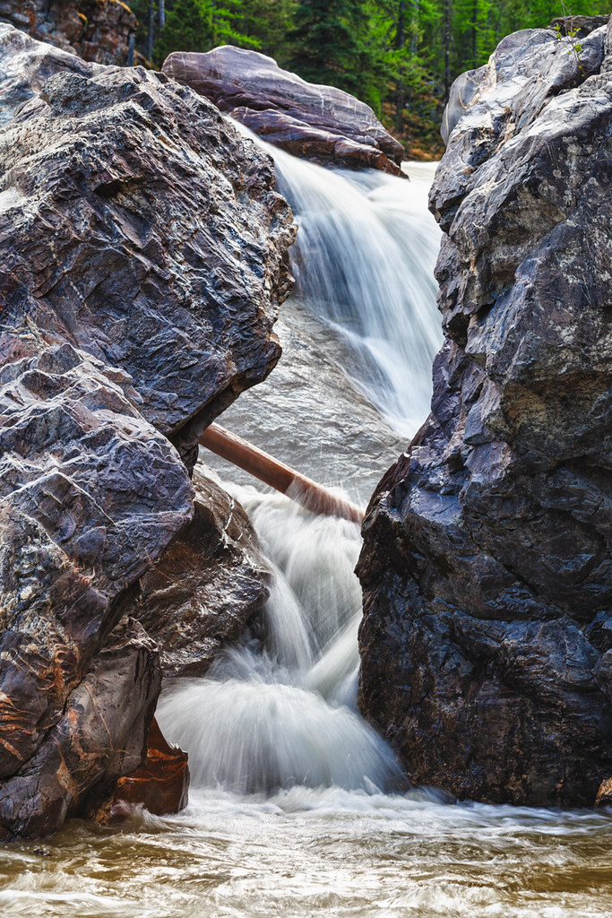
Findlay Creek Falls
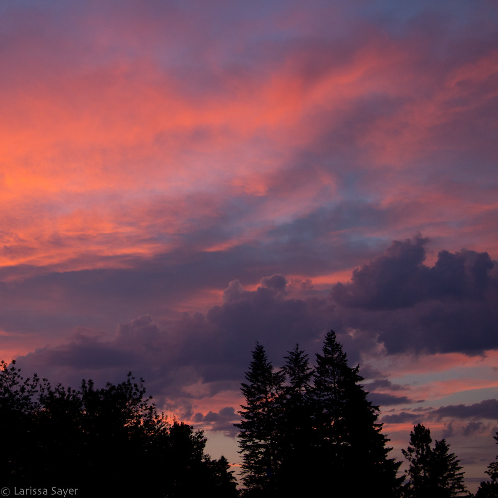
Sunset over Canal Flats
Take my breath away again BC

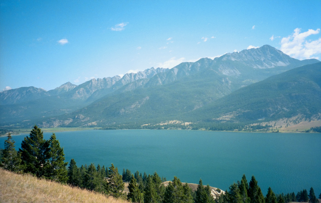
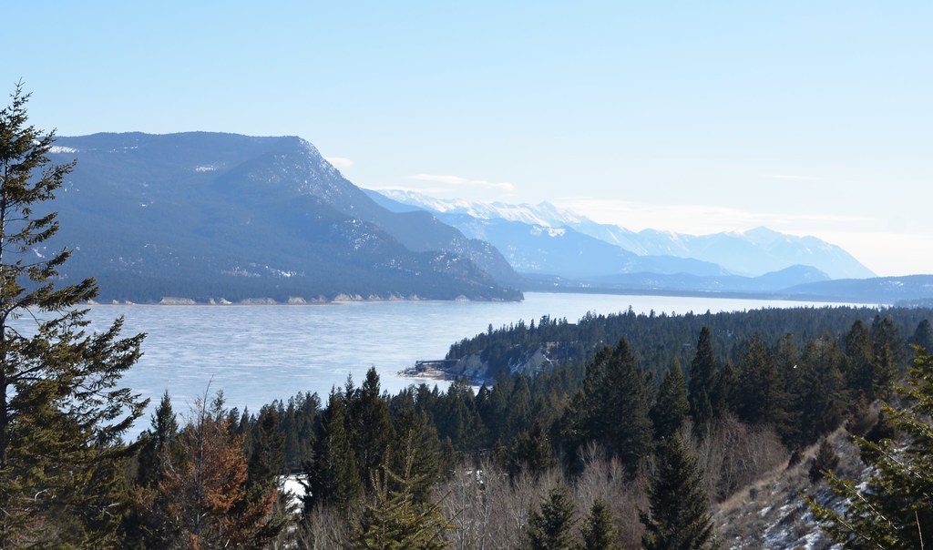
Columbia Lake

Kootenay National Park (British Columbia)

Columbia Lake in Jan
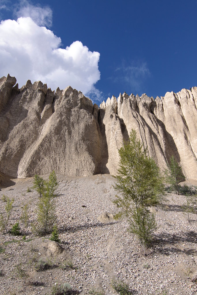
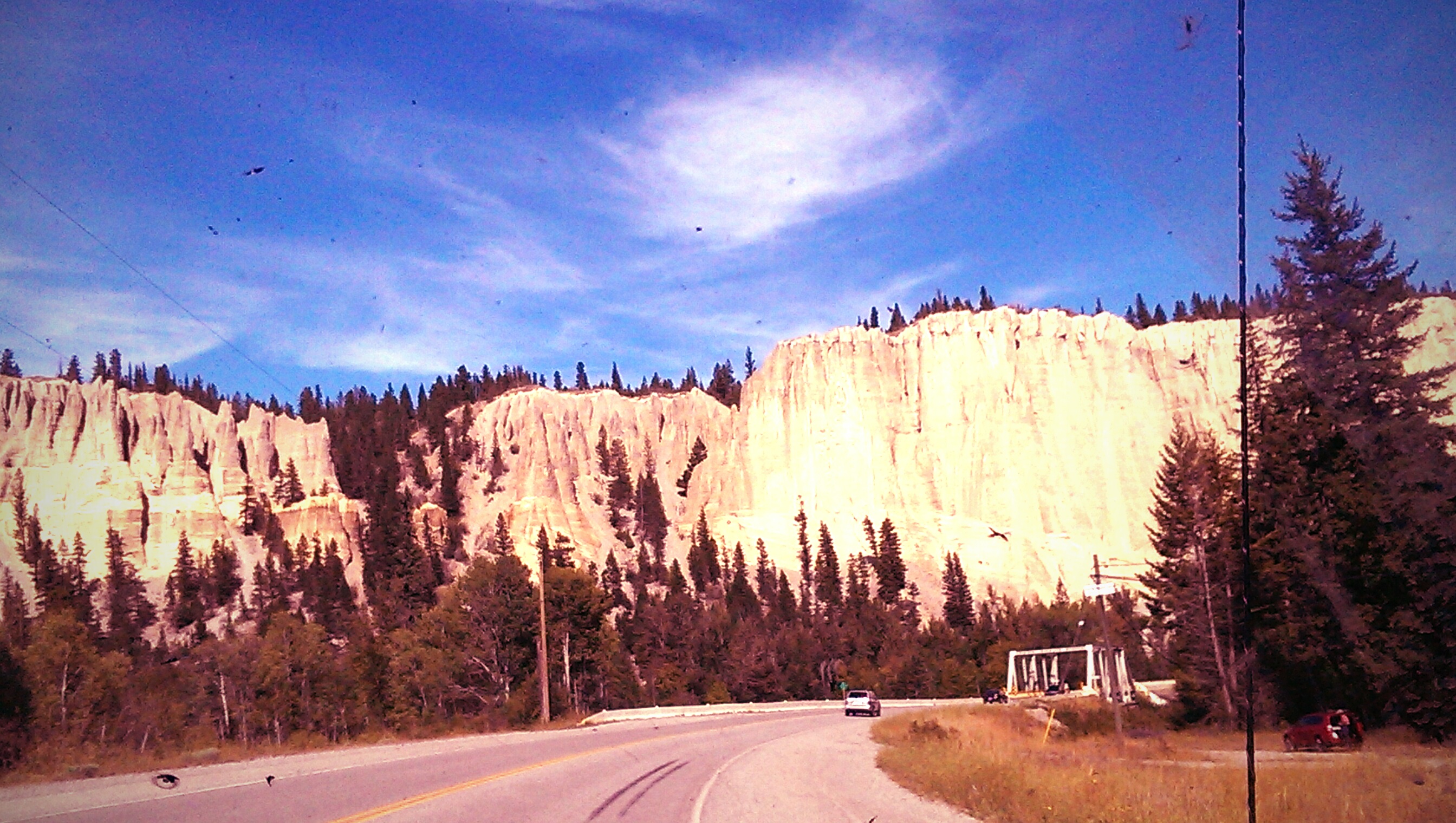
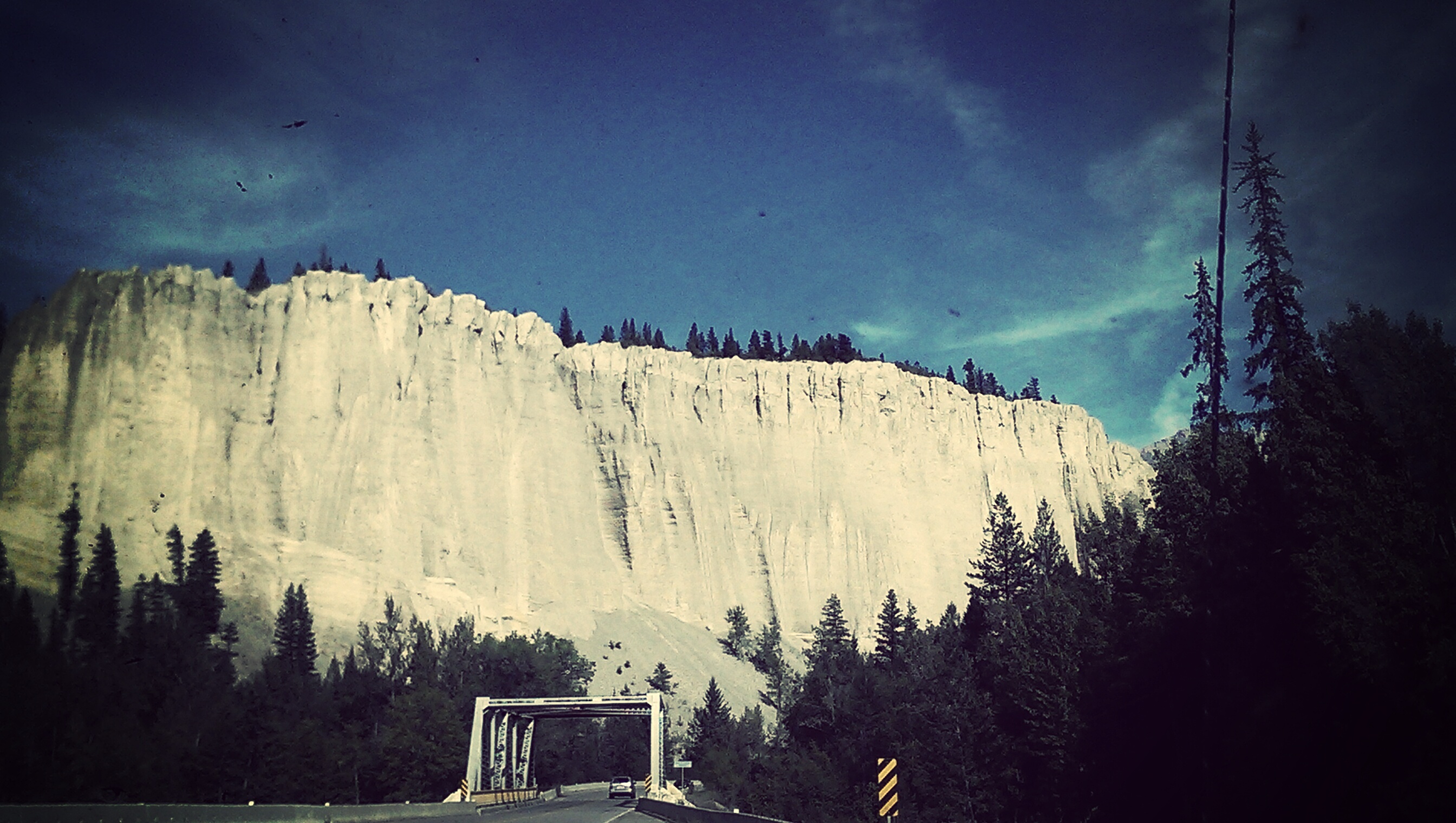
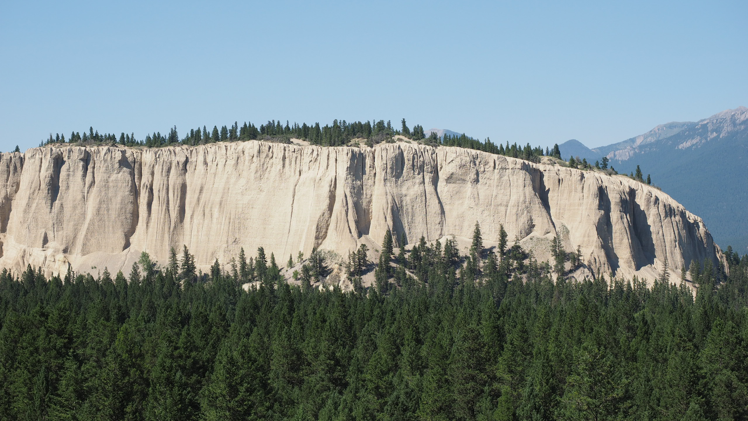
Dutch Creek hoodoos
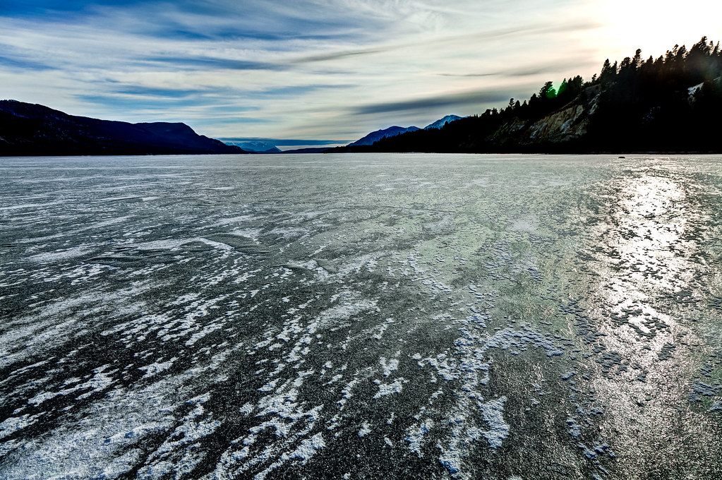
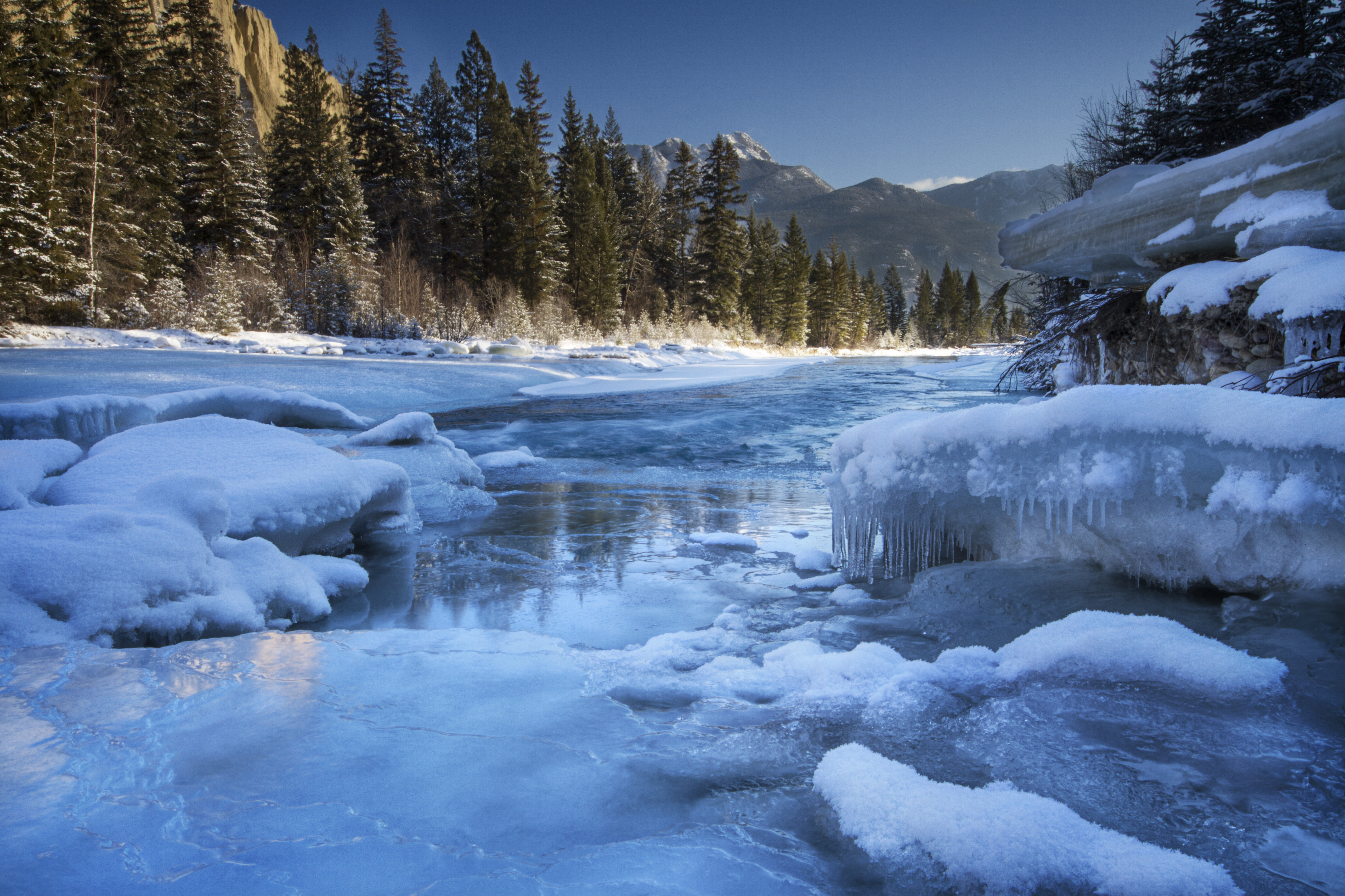
Frozen Lake

Angled Sunset over Canal Flats
Fairmont Hot Springs

On the top of the #hoodoos #fairmont
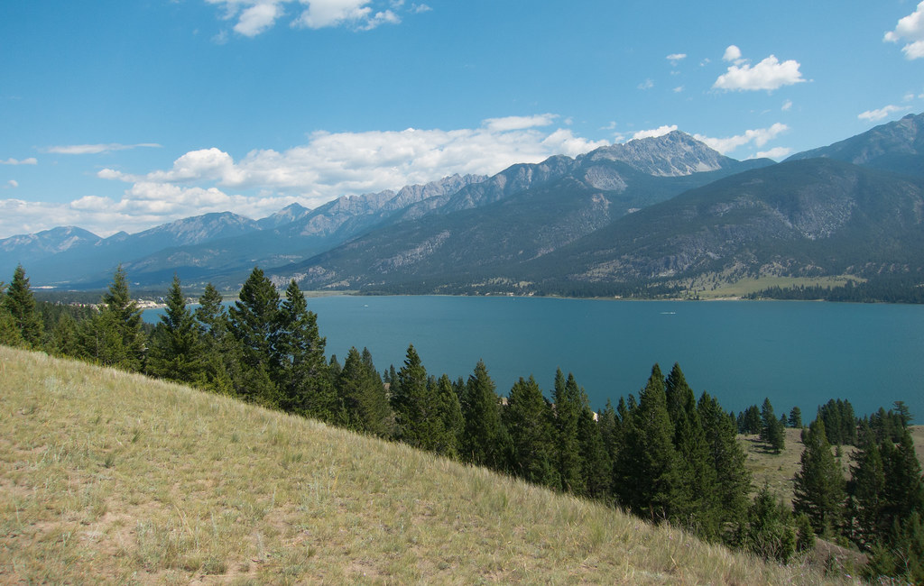
Columbia Lake
Columbia Lake
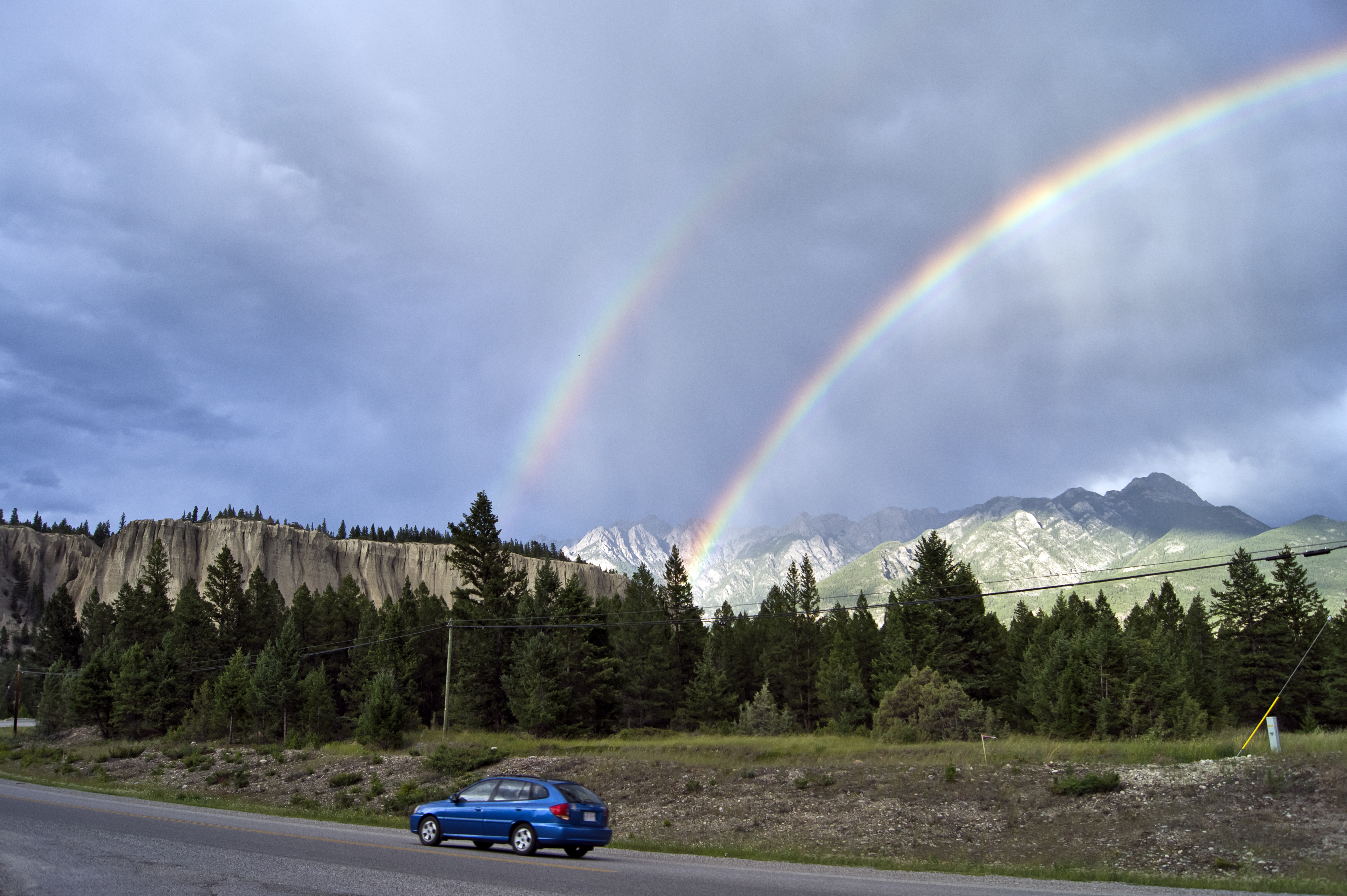
Double rainbow
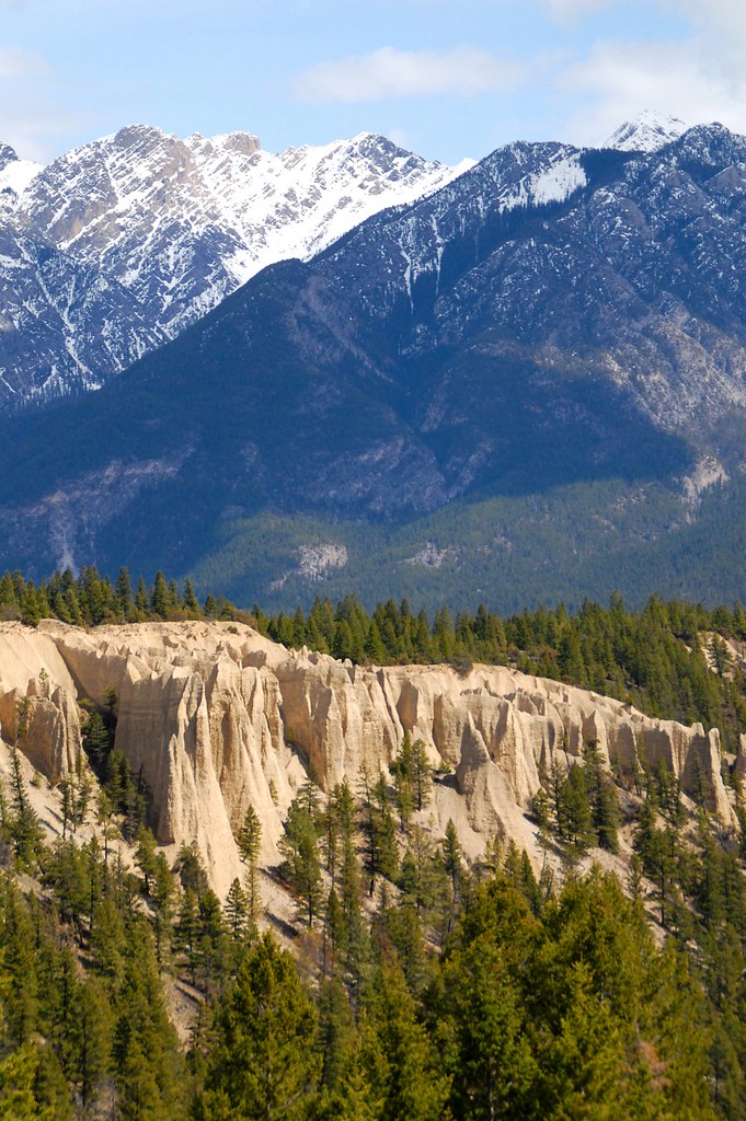
Got Hoodoos?
Topographic Map of Whitetail Lake, East Kootenay F, BC V0B, Canada
Find elevation by address:

Places near Whitetail Lake, East Kootenay F, BC V0B, Canada:
East Kootenay F
Columbia Lake
5129 Riverview Pl
4878 Wills Rd
Wills Rd, Fairmont Hot Springs, BC V0B 1L1, Canada
Fairmont Hot Springs
Fairmont Hot Springs Resort
4942 Mountain Hill Rd
Canal Flats Frontage Road West
Canal Flats Frontage Road West
Canal Flats
1893 Foxwood Trail
Windermere
V0a 1k6
2243 Kootenay No 3 Rd
The Bench Road
Fairmont Mountain
Riverrock Way
1714 Windermere Loop Rd
Mount De Smet
Recent Searches:
- Elevation of Corso Fratelli Cairoli, 35, Macerata MC, Italy
- Elevation of Tallevast Rd, Sarasota, FL, USA
- Elevation of 4th St E, Sonoma, CA, USA
- Elevation of Black Hollow Rd, Pennsdale, PA, USA
- Elevation of Oakland Ave, Williamsport, PA, USA
- Elevation of Pedrógão Grande, Portugal
- Elevation of Klee Dr, Martinsburg, WV, USA
- Elevation of Via Roma, Pieranica CR, Italy
- Elevation of Tavkvetili Mountain, Georgia
- Elevation of Hartfords Bluff Cir, Mt Pleasant, SC, USA