Elevation of Whitesville, KY, USA
Location: United States > Kentucky > Daviess County >
Longitude: -86.842112
Latitude: 37.7028904
Elevation: 141m / 463feet
Barometric Pressure: 100KPa
Elevation Map:
Satellite Map:
Related Photos:

Robin chicks

Veil west#1(The Witch's Broom)
County Farm

Barn in Rural KY

Rows of Corn

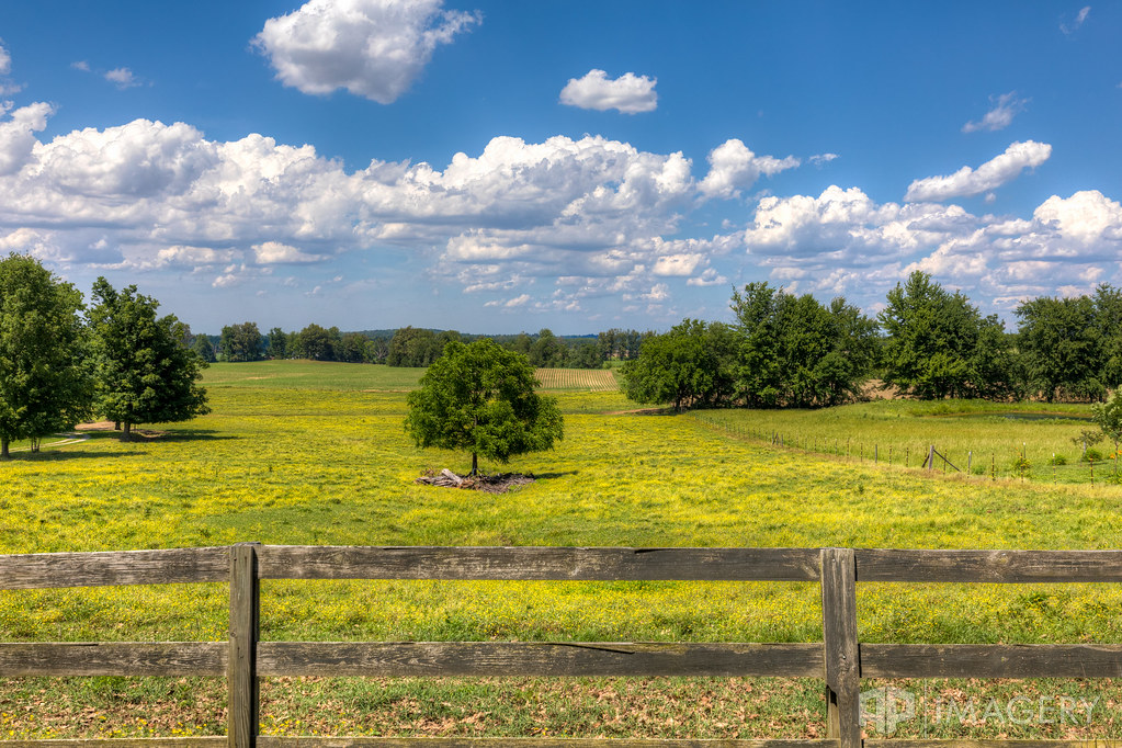
Tree in a Field

Old Railroad Bed

Hines Center - Sunset 1

red skies at night

sailors take delight
Topographic Map of Whitesville, KY, USA
Find elevation by address:

Places near Whitesville, KY, USA:
KY-, Whitesville, KY, USA
KY-, Philpot, KY, USA
8038 Ky-762
Philpot
KY-, Philpot, KY, USA
US-, Utica, KY, USA
Masonville
4701 Millers Mill Rd
Leitchfield Rd, Owensboro, KY, USA
3552 Bold Forbes Way
Stone Creek Park
Omu Power Plant
Hill Bridge Rd, Owensboro, KY, USA
369 Cardinal Ln
369 Cardinal Ln
369 Cardinal Ln
4007 Noel Pl
2011 Trillium Gardens
2114 Oak Ave
4203 Hunter Pointe
Recent Searches:
- Elevation of Corso Fratelli Cairoli, 35, Macerata MC, Italy
- Elevation of Tallevast Rd, Sarasota, FL, USA
- Elevation of 4th St E, Sonoma, CA, USA
- Elevation of Black Hollow Rd, Pennsdale, PA, USA
- Elevation of Oakland Ave, Williamsport, PA, USA
- Elevation of Pedrógão Grande, Portugal
- Elevation of Klee Dr, Martinsburg, WV, USA
- Elevation of Via Roma, Pieranica CR, Italy
- Elevation of Tavkvetili Mountain, Georgia
- Elevation of Hartfords Bluff Cir, Mt Pleasant, SC, USA