Elevation of Whites Hill Rd, West Dover, VT, USA
Location: United States > Vermont > Windham County > Dover > West Dover >
Longitude: -72.786409
Latitude: 42.985756
Elevation: 574m / 1883feet
Barometric Pressure: 95KPa
Elevation Map:
Satellite Map:
Related Photos:
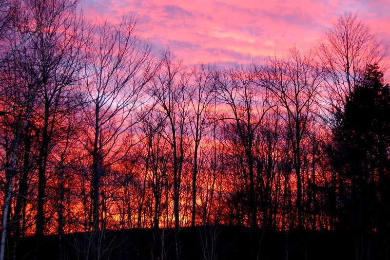
This Morning's 10 Minute Sunrise in Reverse (EXPLORED)
an opening in the lattice

Boiling Maple Syrup
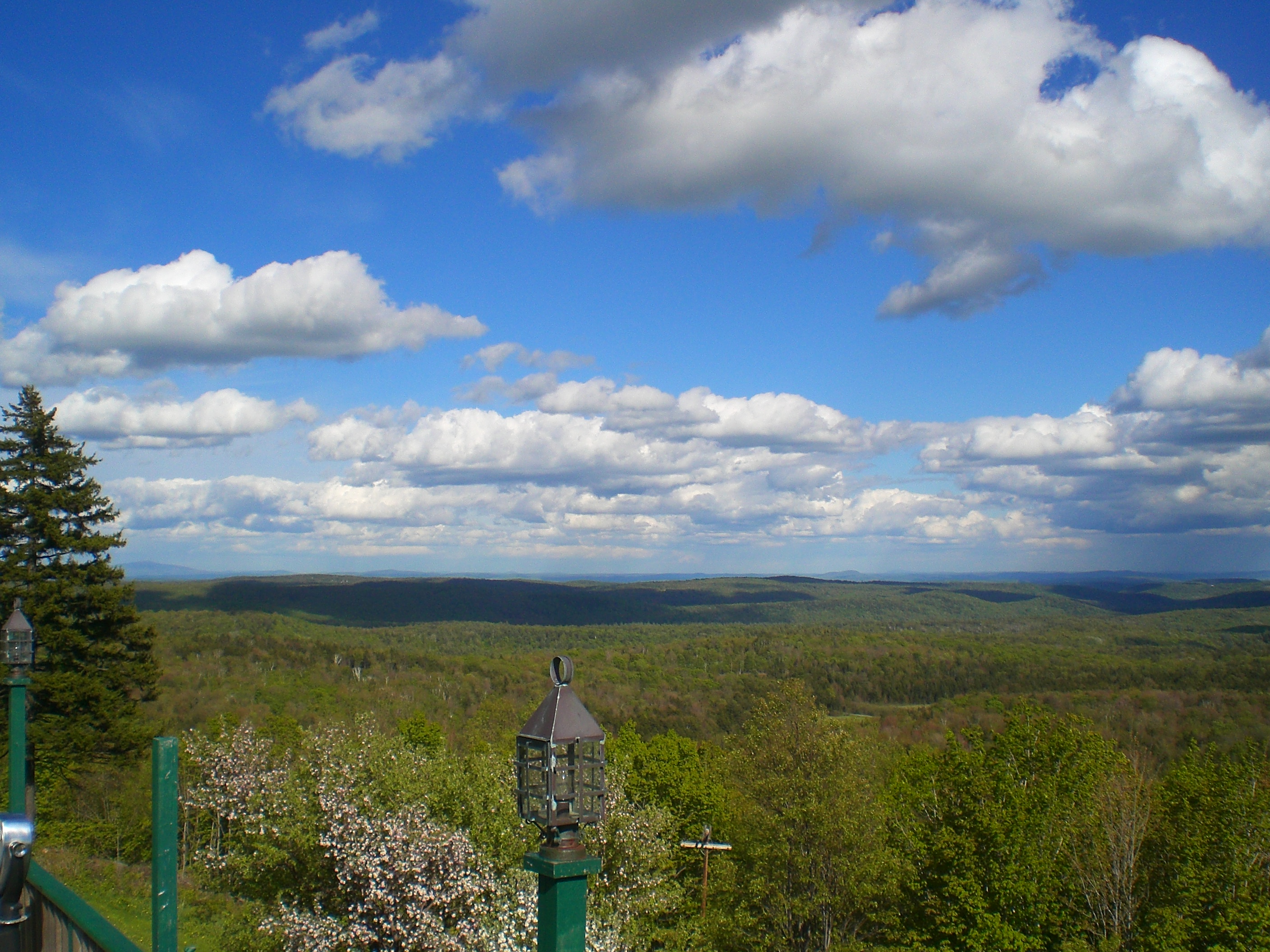
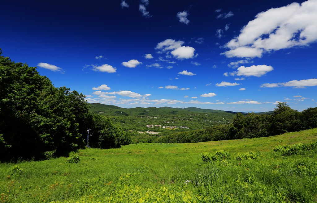
100-Mile View
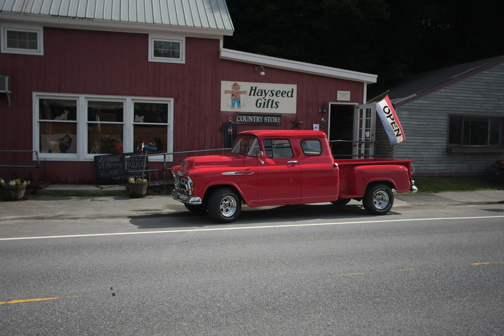
Cool Old Chevy

Which way to look?
Craft Inn
100 Mile View (Marlboro, VT)
lake view
A Valentines Gift for ME!!!
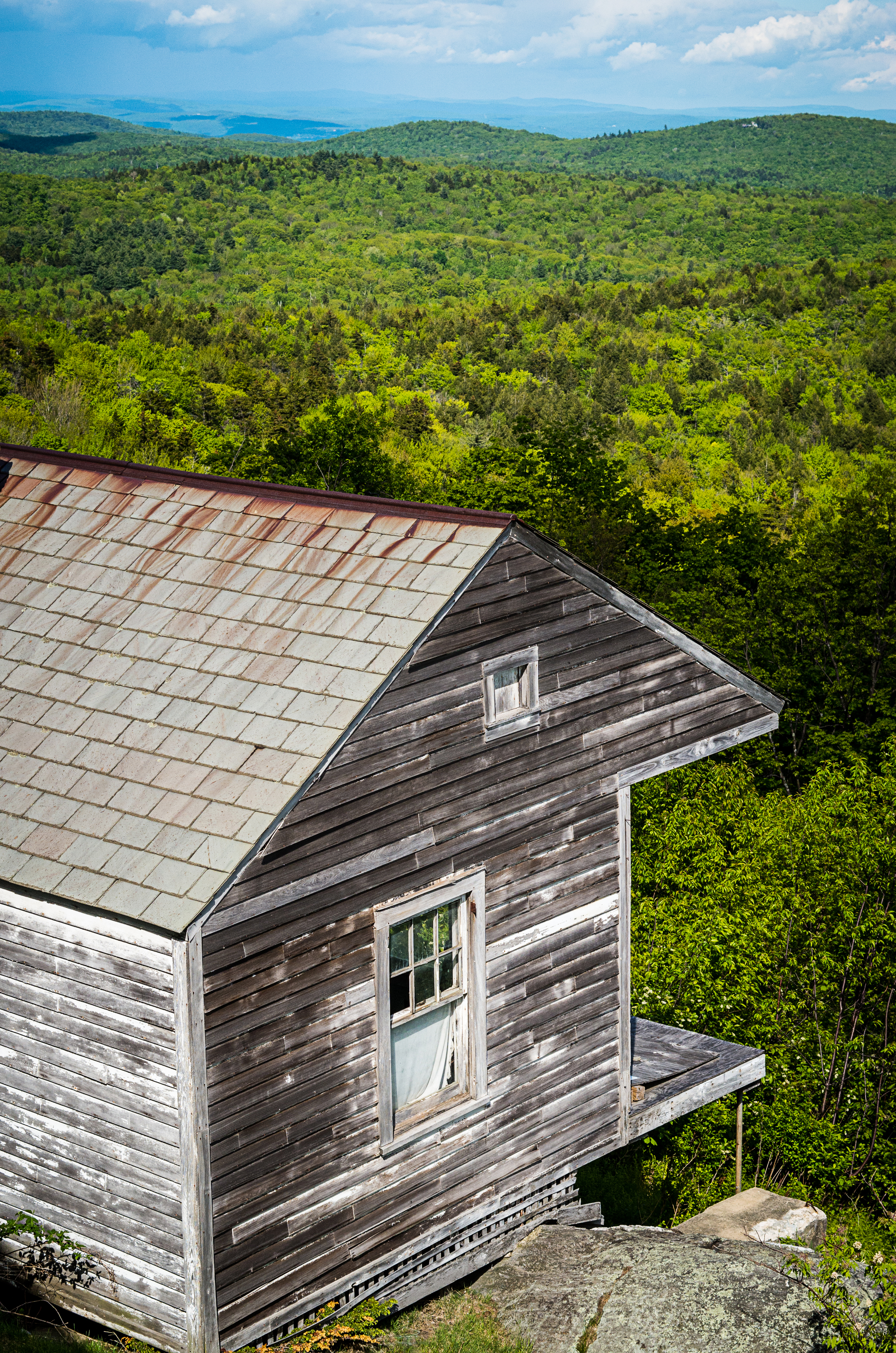
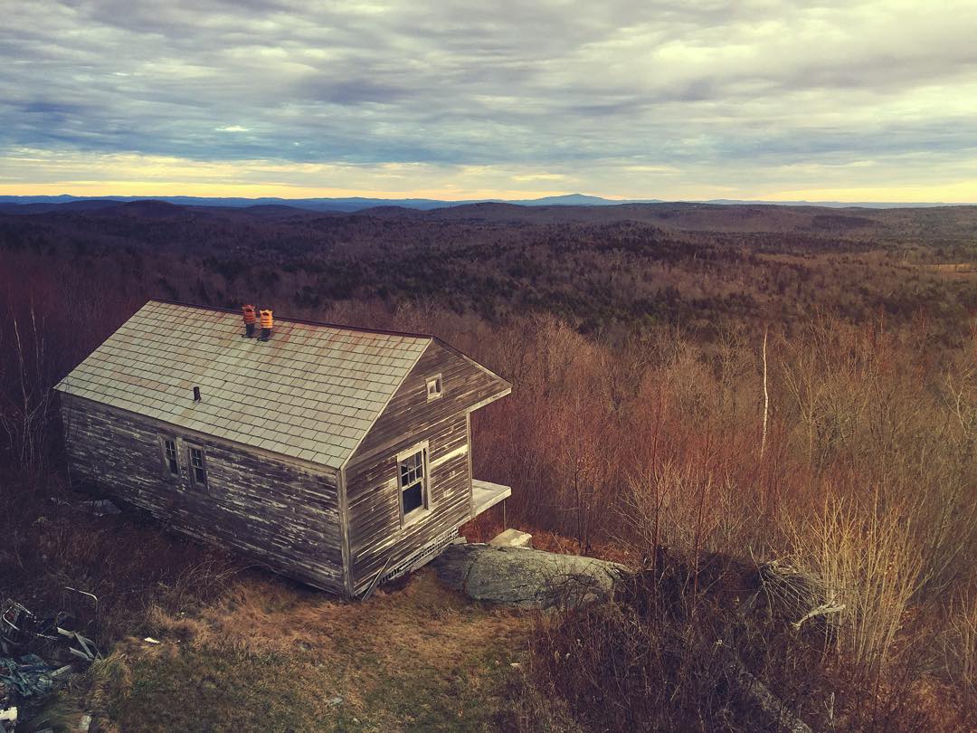
House on the mountain
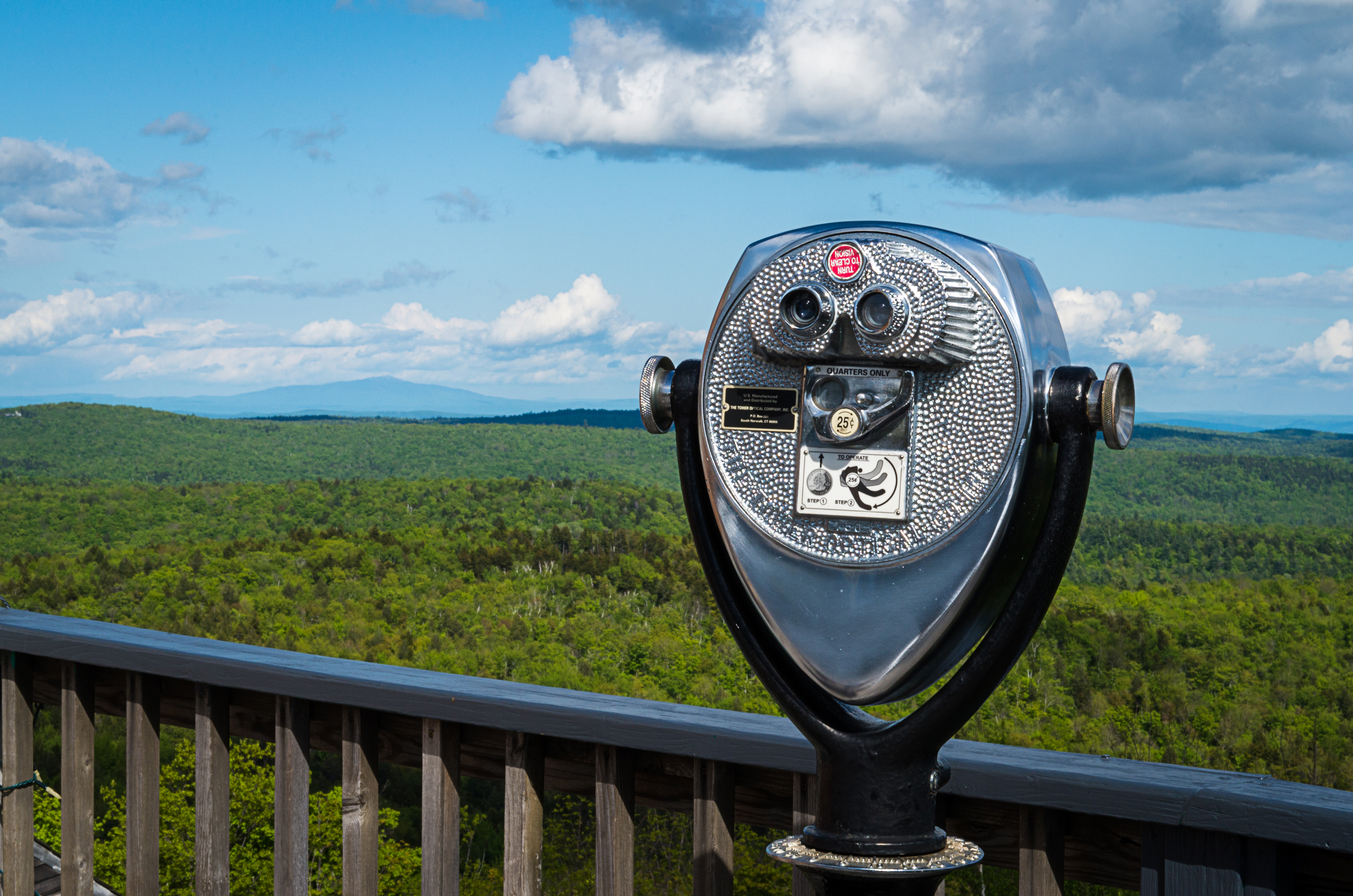
Viewfinder at the 100 Mile View (Project 365: 151/365)
Hogback Mountain Gift Shop
View 1
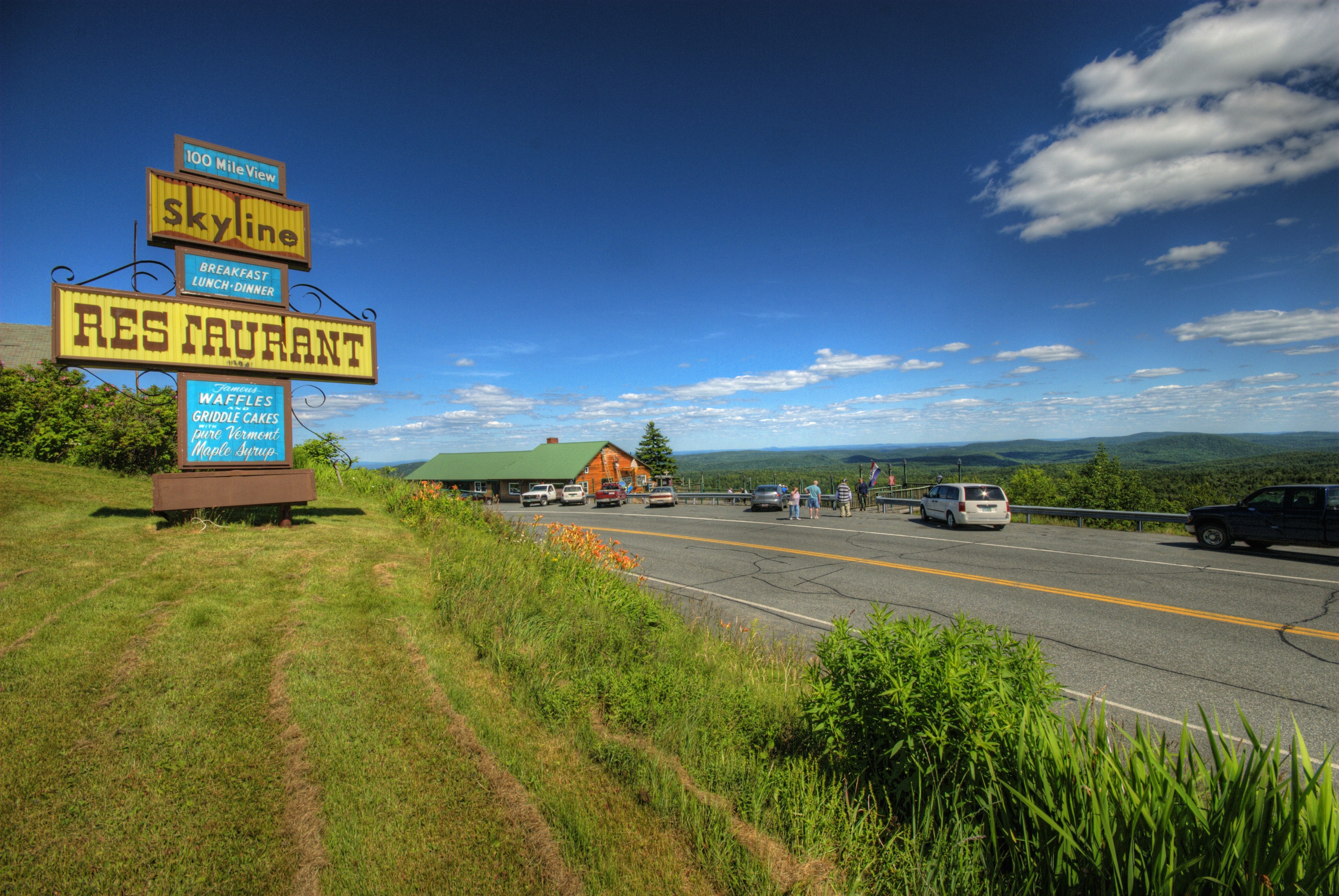
Skeline Restaurant and Hogback Mtn. Scenic Overlook
100 Mile View
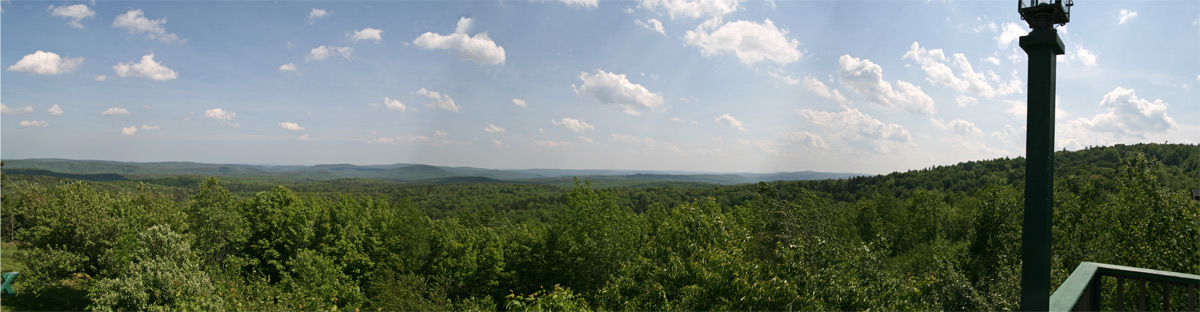
Vermont Mountains Panorama
夜未眠
View Of Mt. Snow, Vermont
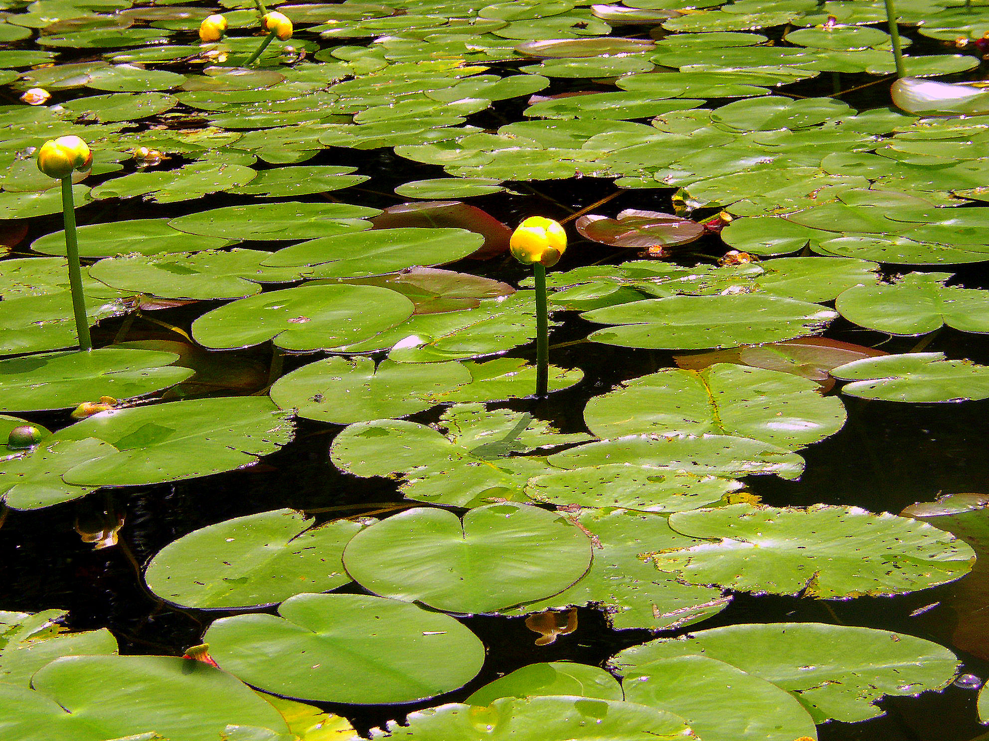
Water Lillies

MY Little Chickadee!

gold rush
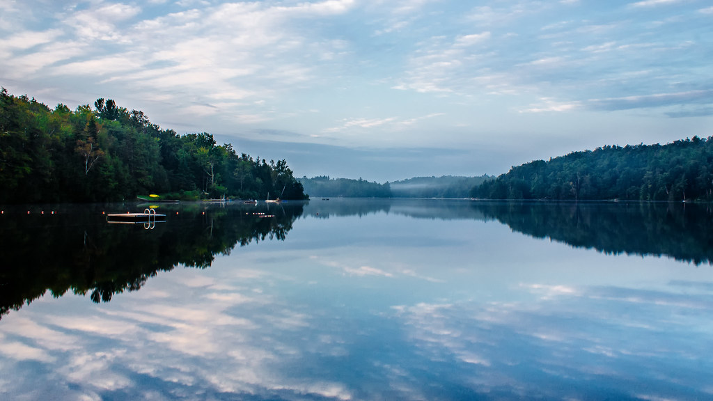
Lake Raponda, VT

Mount Snow Early season

The Perfect Fake! (Explored!)

Stillness of morning. #getolympus with the Olympus e-m1. #reflection #vermont
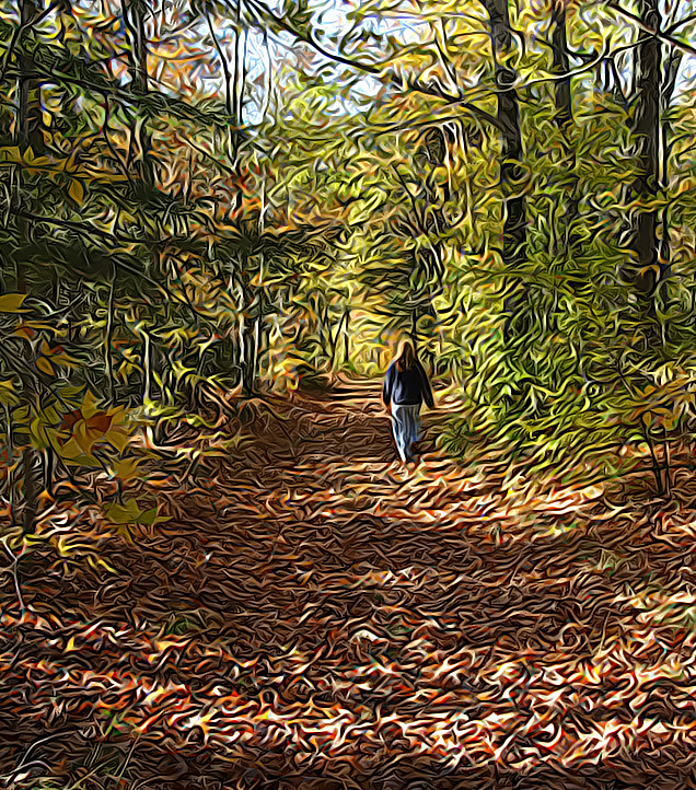
walk in the woods
I never think of the future - it comes soon enough...
Autumn Lane

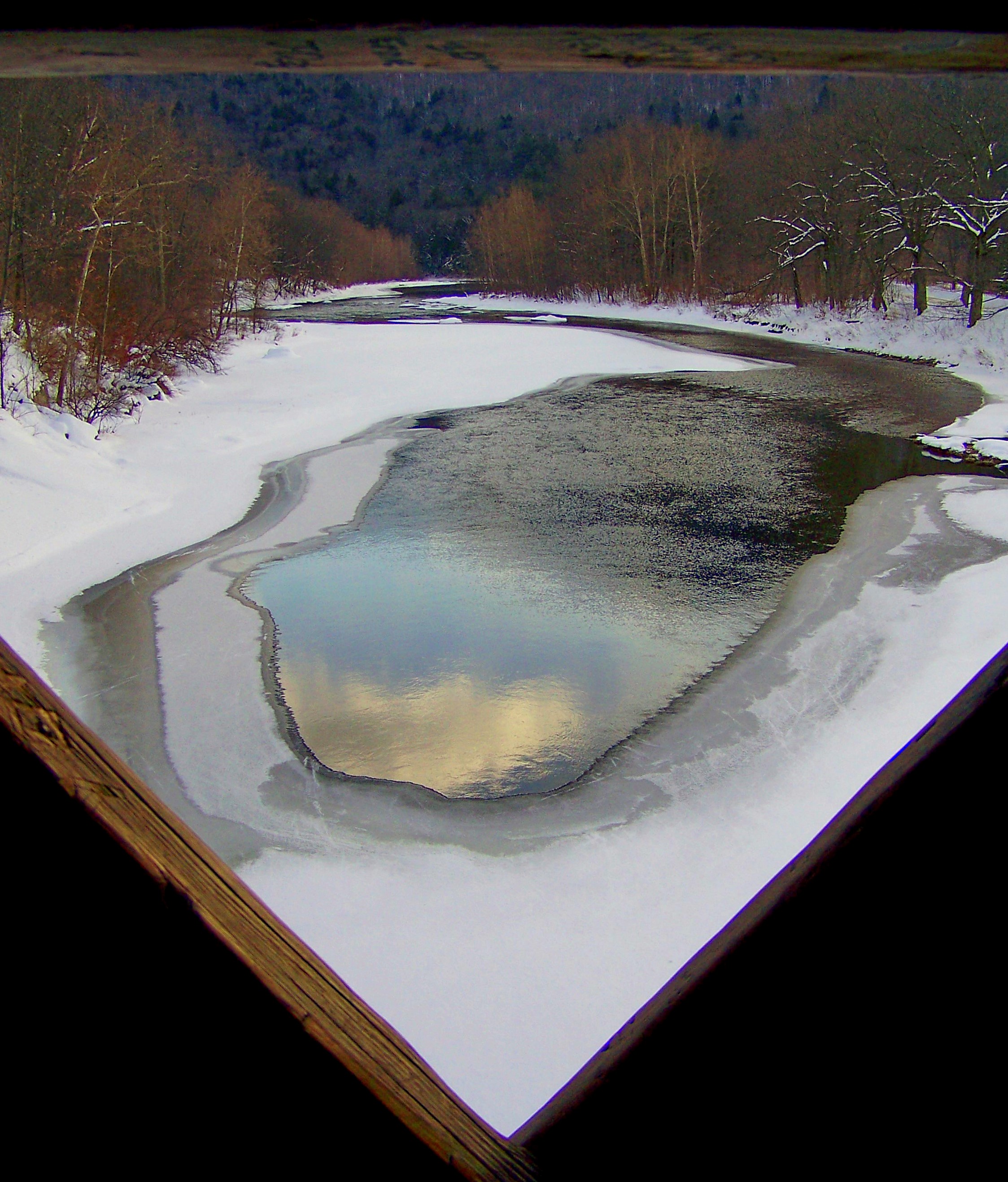
Pond | Southern VT
Waiting for Change

Deerfield valley
Constant. #waterfall #waterflow #vermontshots #70d #10to18mm review is now online.
Rainy January Friday
Country Roads (Explored)
The West River
VTTownshendDam018.jpg
Marlboro Branch

The Dumplings

晨光

Pikes Falls - Upper - Vermont
Topographic Map of Whites Hill Rd, West Dover, VT, USA
Find elevation by address:

Places near Whites Hill Rd, West Dover, VT, USA:
217 North St
624 E Dover Rd
119 Goose City Rd
52 North St
Windham County
75 Rice Hill Rd
5 Rice Hill Rd
117 Cooper Hill Rd
252 Dover Hill Rd
Dover
13 Wolf Ln
1991 Vt-100
2025 Vt-100
8 Beech Tree Ln
Captain Copeland Road
217 Valley View Rd
239 Valley View Rd
194 Black Piece Rd
55 Heritage Rd
Wardsboro
Recent Searches:
- Elevation of Corso Fratelli Cairoli, 35, Macerata MC, Italy
- Elevation of Tallevast Rd, Sarasota, FL, USA
- Elevation of 4th St E, Sonoma, CA, USA
- Elevation of Black Hollow Rd, Pennsdale, PA, USA
- Elevation of Oakland Ave, Williamsport, PA, USA
- Elevation of Pedrógão Grande, Portugal
- Elevation of Klee Dr, Martinsburg, WV, USA
- Elevation of Via Roma, Pieranica CR, Italy
- Elevation of Tavkvetili Mountain, Georgia
- Elevation of Hartfords Bluff Cir, Mt Pleasant, SC, USA