Elevation of White Mountain Rd, White Mountain QLD, Australia
Location: Australia > Queensland >
Longitude: 152.116188
Latitude: -27.424690
Elevation: 462m / 1516feet
Barometric Pressure: 96KPa
Elevation Map:
Satellite Map:
Related Photos:

Tent-pegging
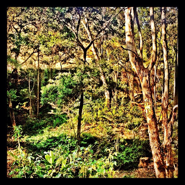
View from our chalet. No phone reception. No tv reception. Beautiful place though!!

Kookaburra watching
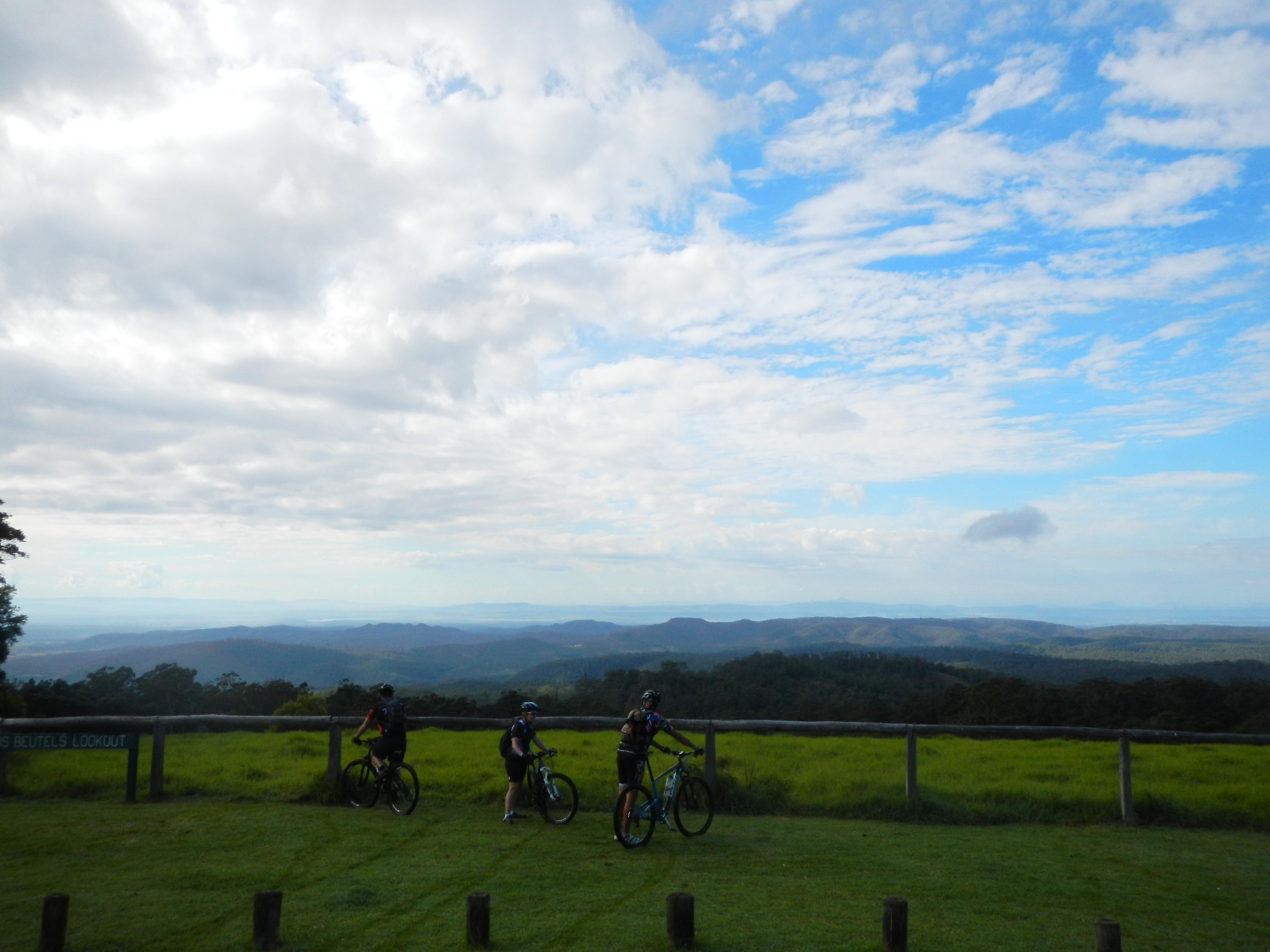
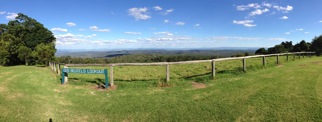
Gus Beutels Lookout
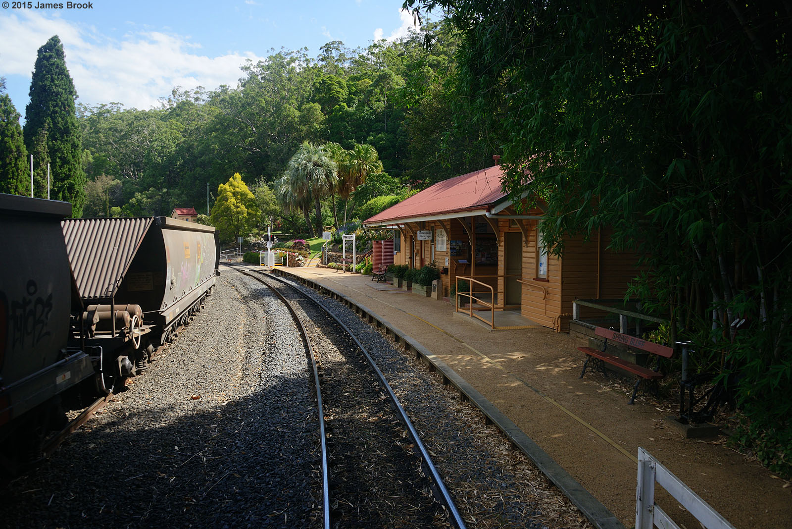
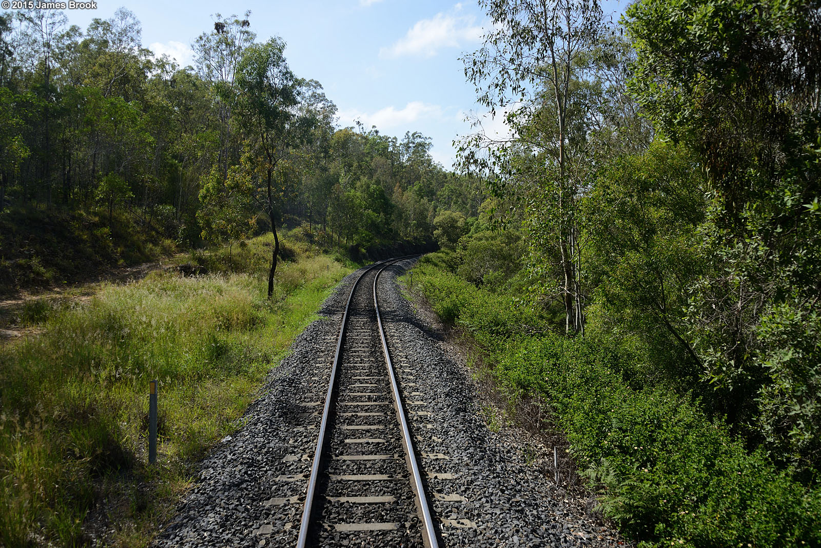
Spring Bluff
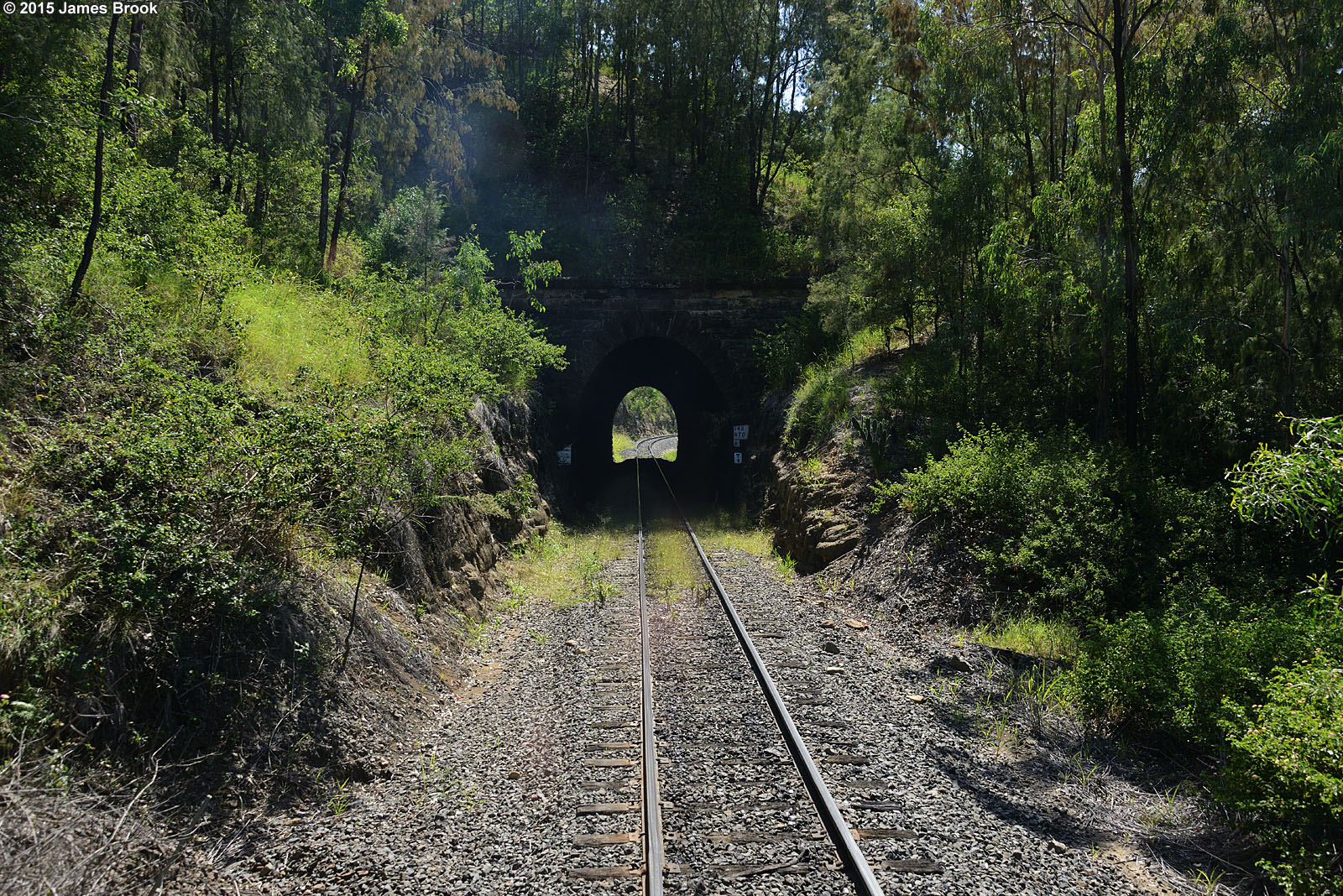
Holmes Loop to Spring Bluff
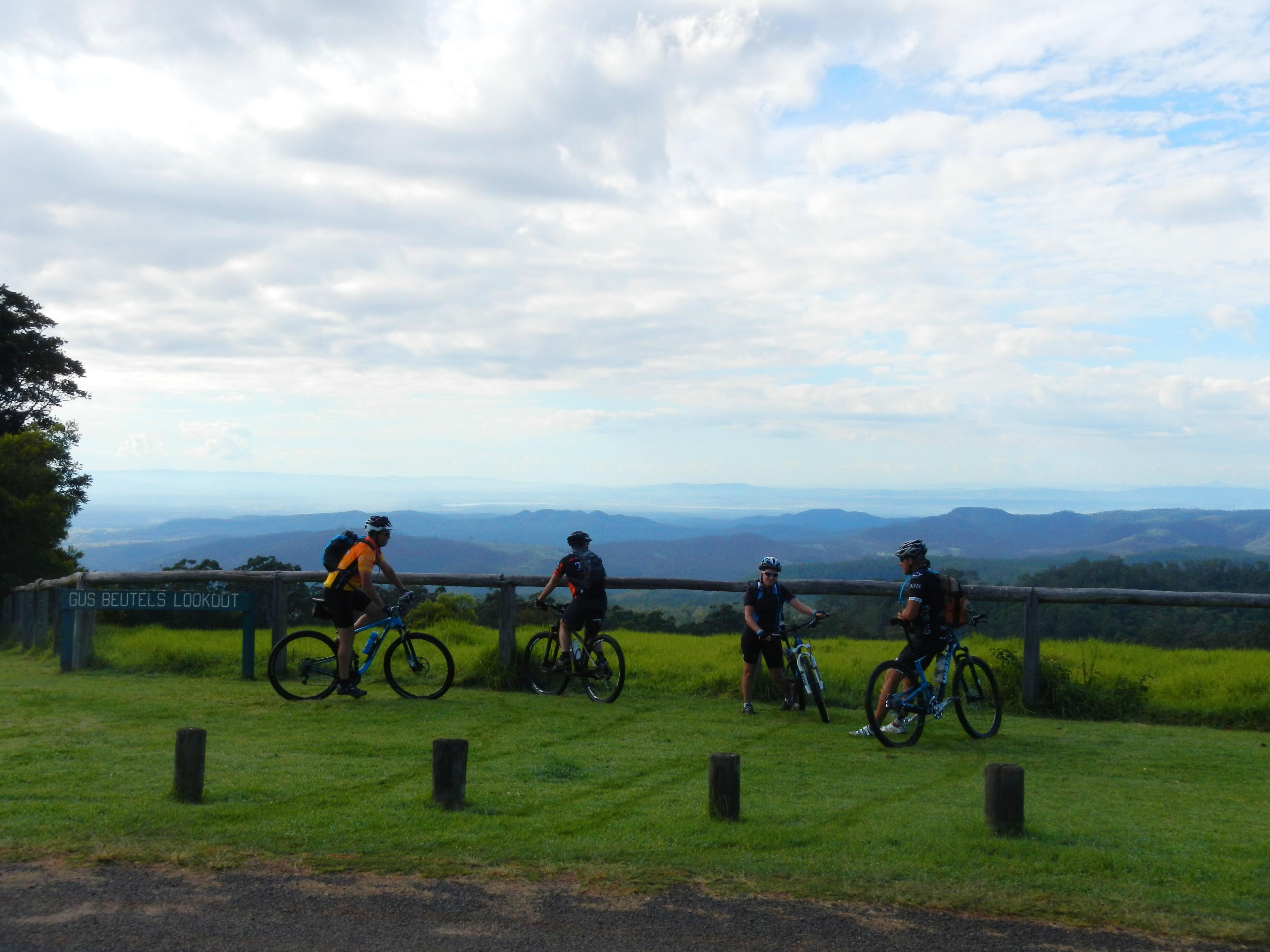
Gus Beutels Lookout
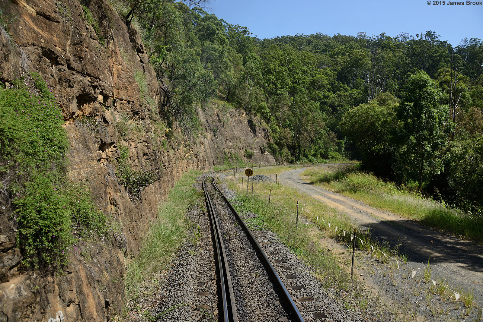
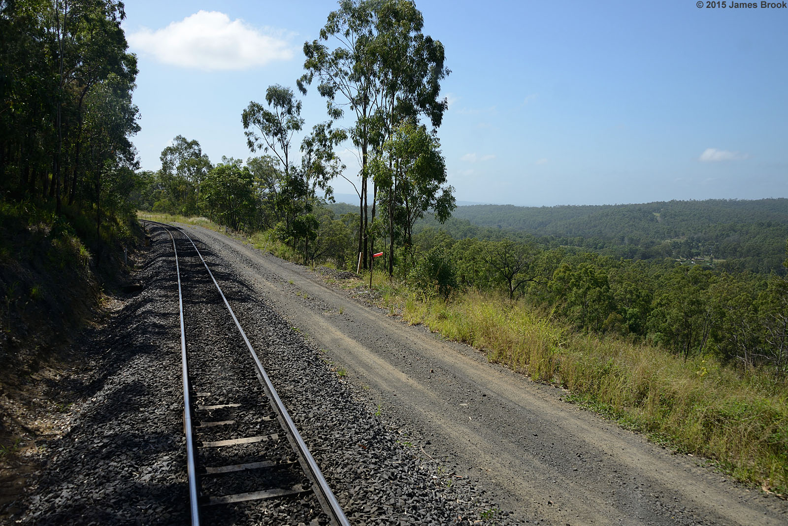
Lockyer to Murphys Creek

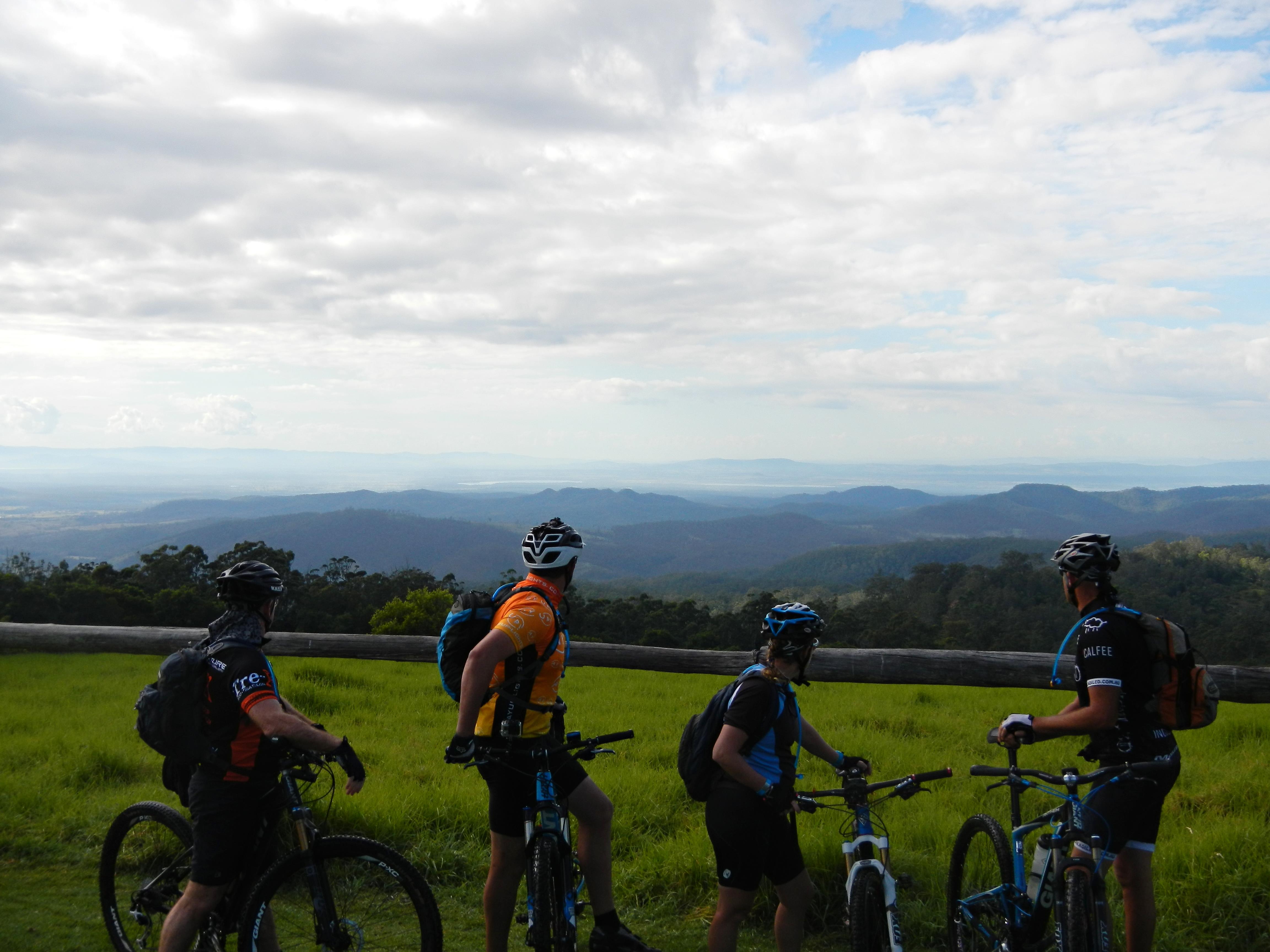
Gus Beutel Lookout View Points
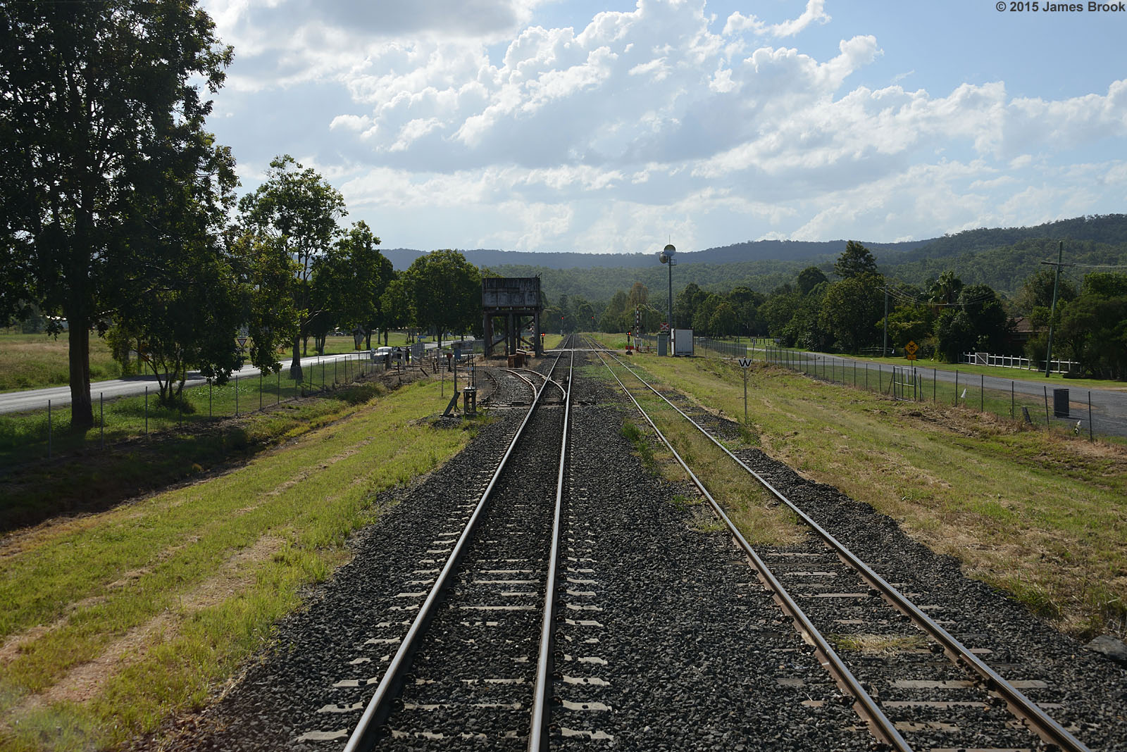
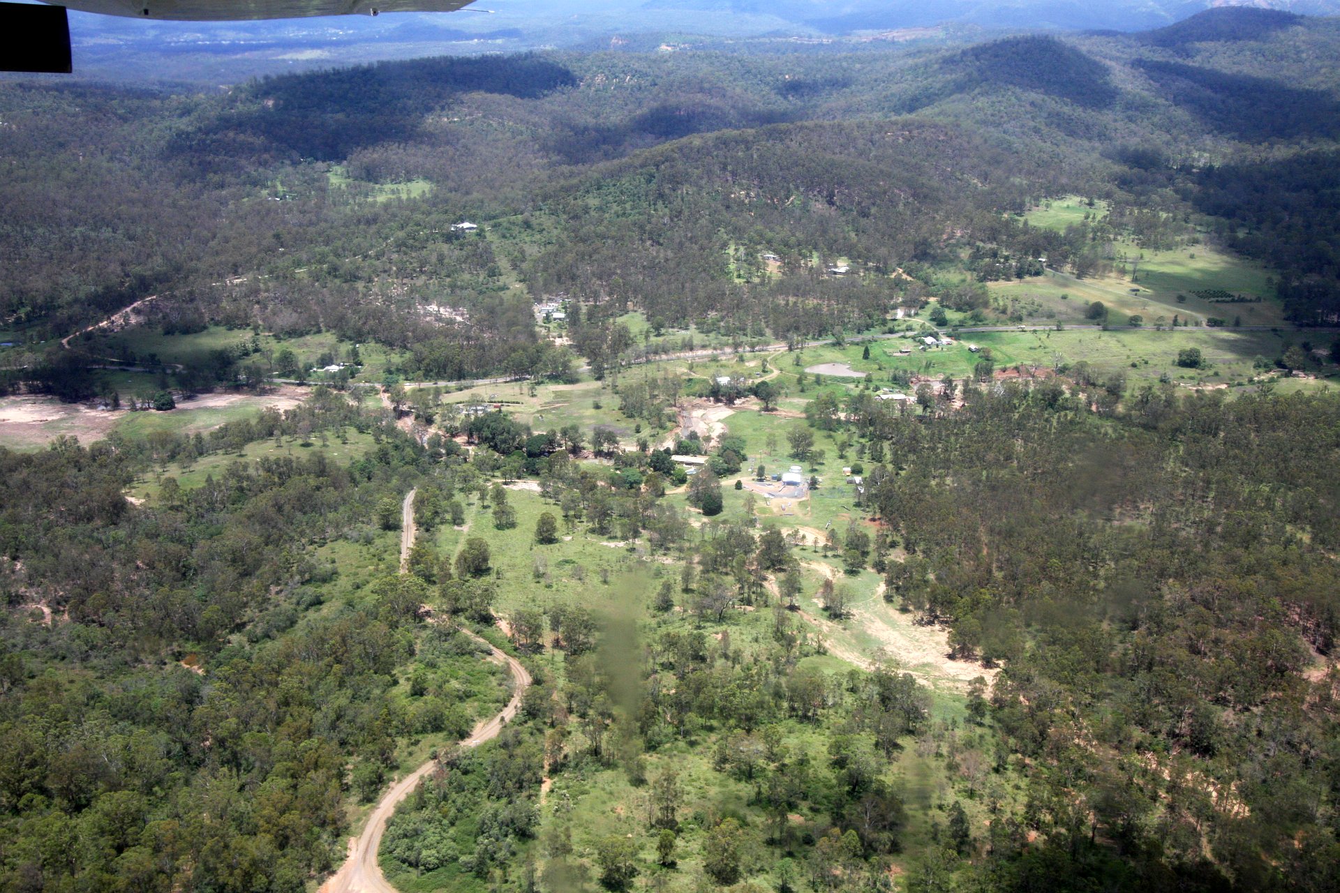
Murphys Creek
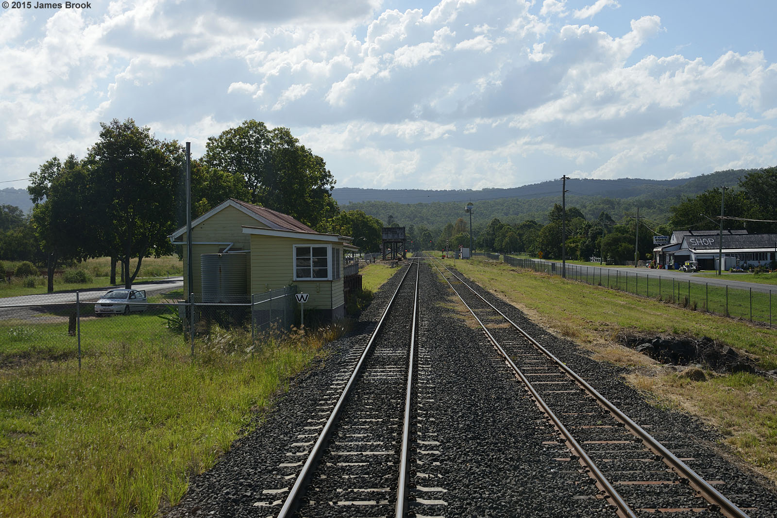
Murphys Creek
Holmes Loop to Spring Bluff
Holmes Loop to Spring Bluff
Gus Beutels Lookout
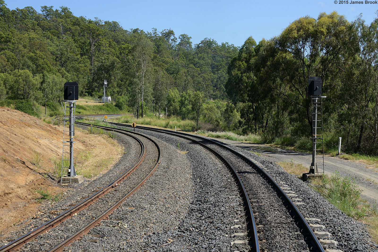
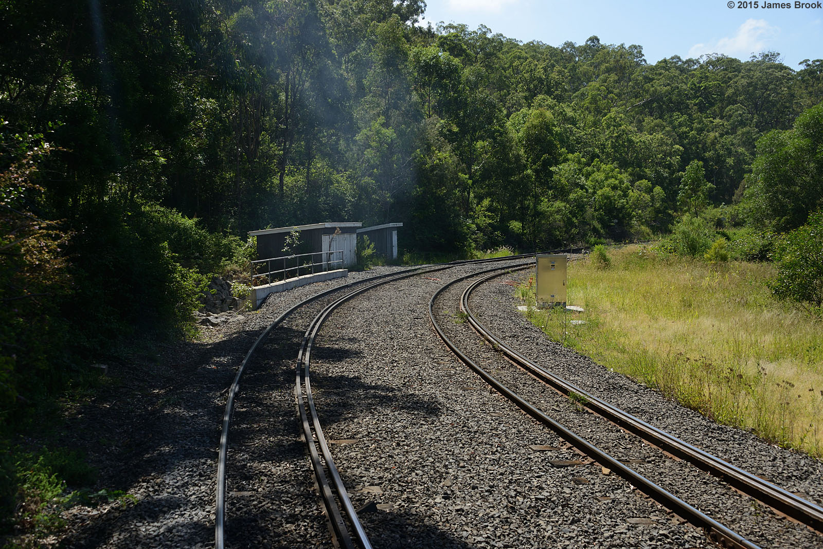
Holmes Loop
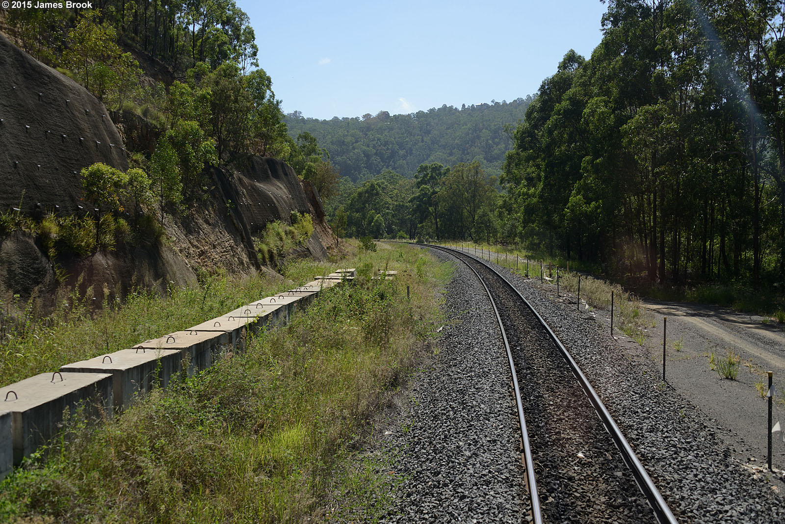
Holmes Loop to Spring Bluff

Holmes Loop to Spring Bluff

57 Penfolds Road, MURPHYS CREEK, QLD 4352, Australia (4 Beds, 2 Baths, 2 Cars)
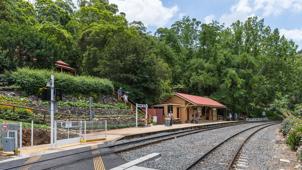
Spring Bluff
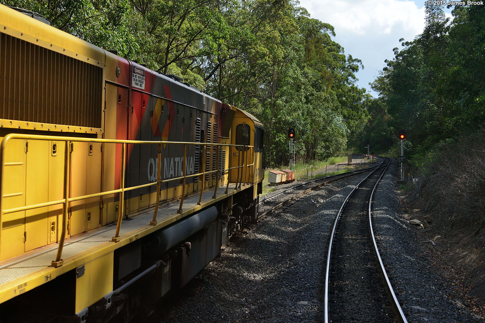
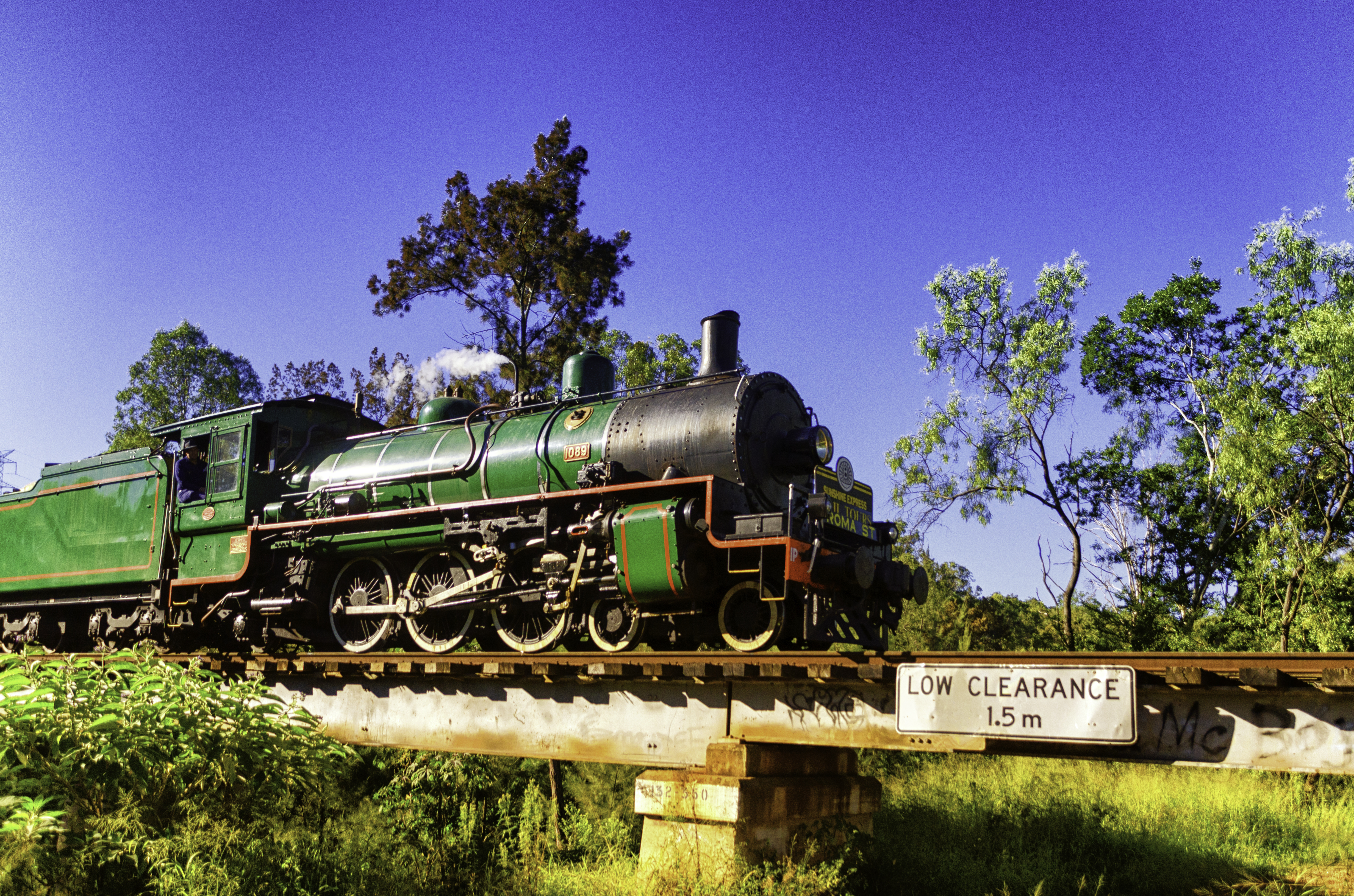
2347 and 2322 at Spring Bluff
Spring Bluff
Spring Bluff
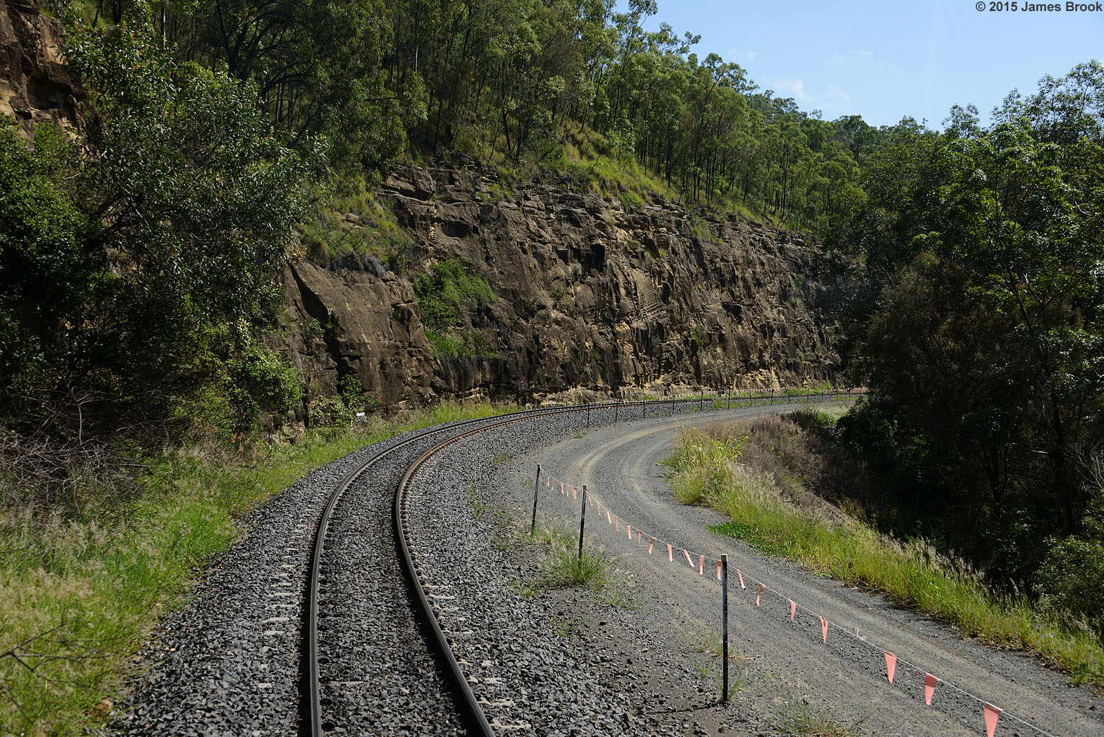
Holmes Loop to Spring Bluff
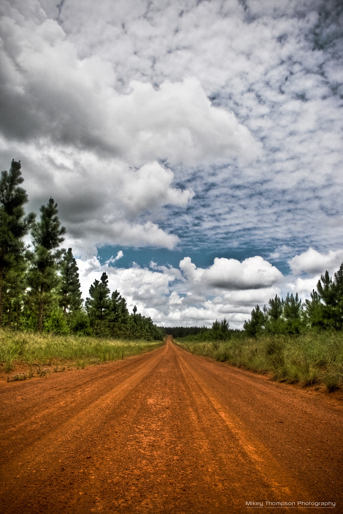
Pine Forest Road HDR
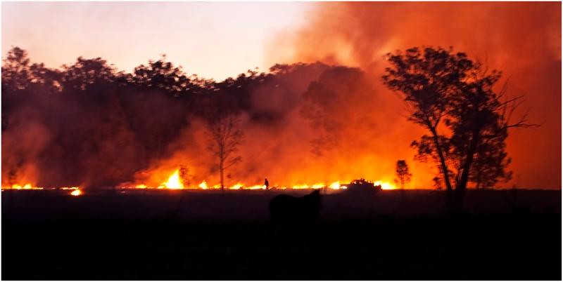
Burn off (Explored 31-08-2012)
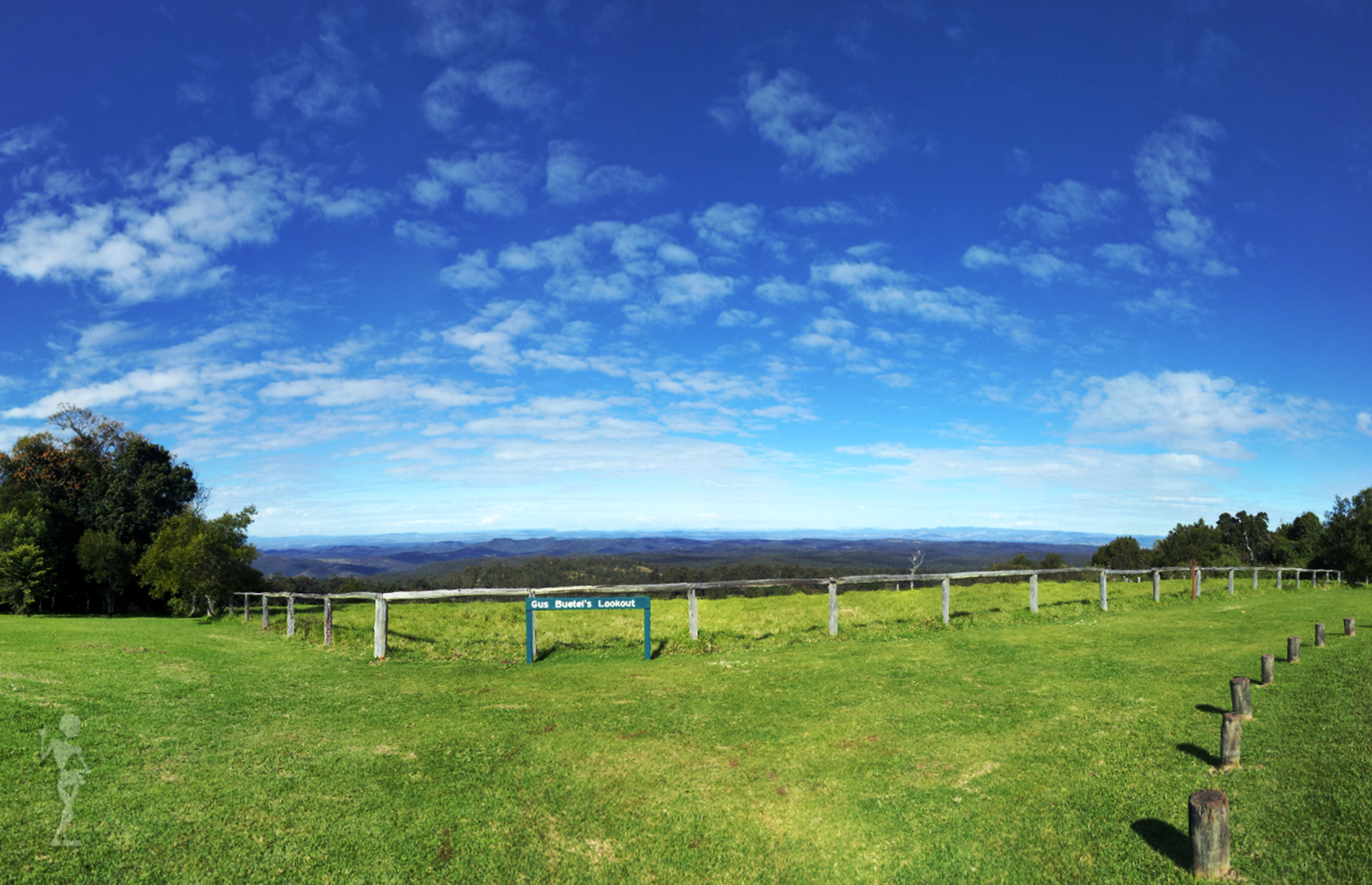
Gus Buetel's Lookout
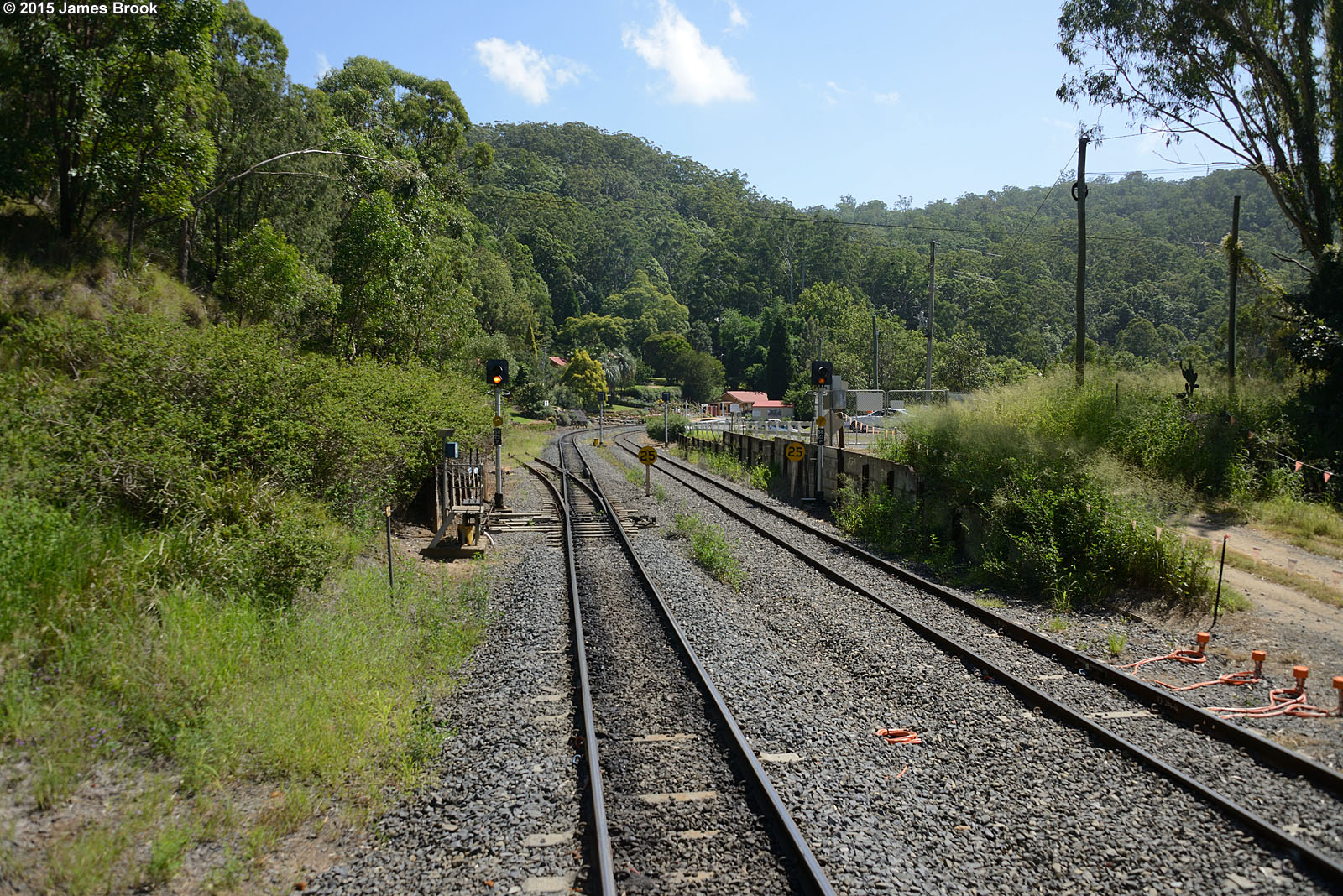
Spring Bluff railway station
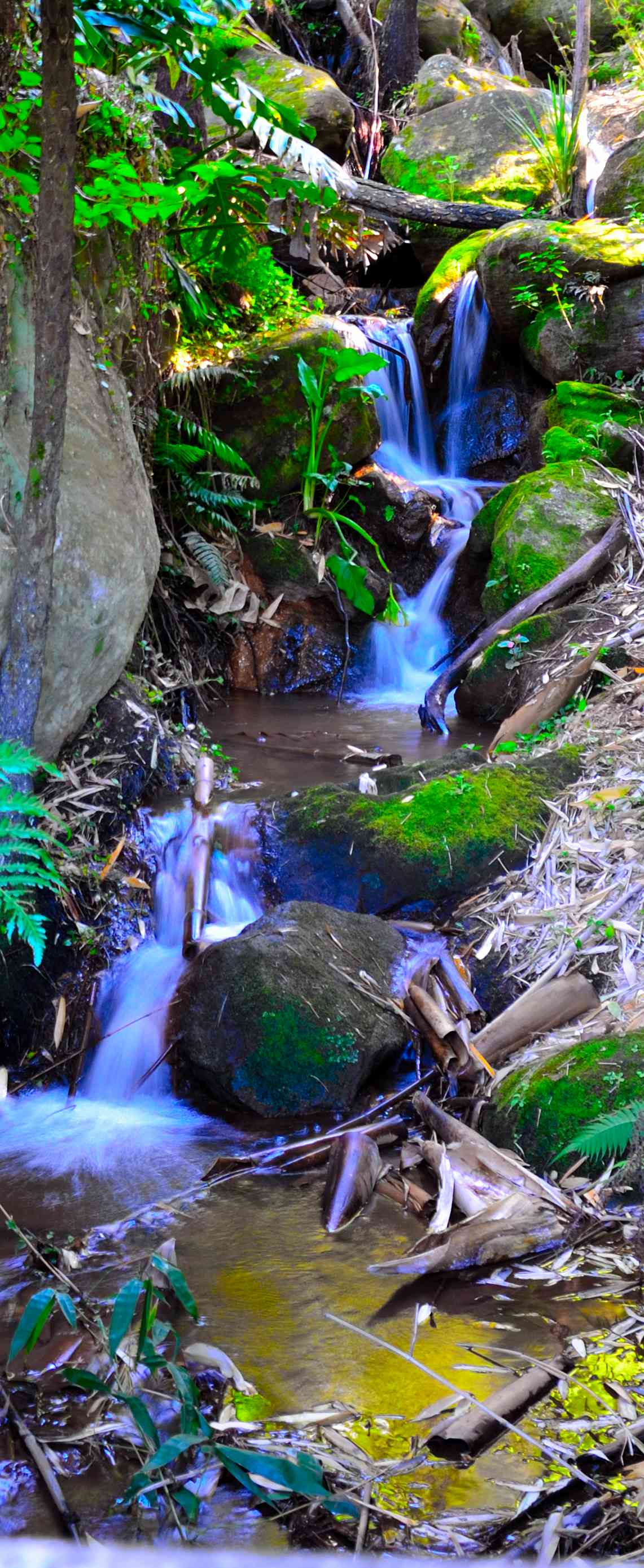
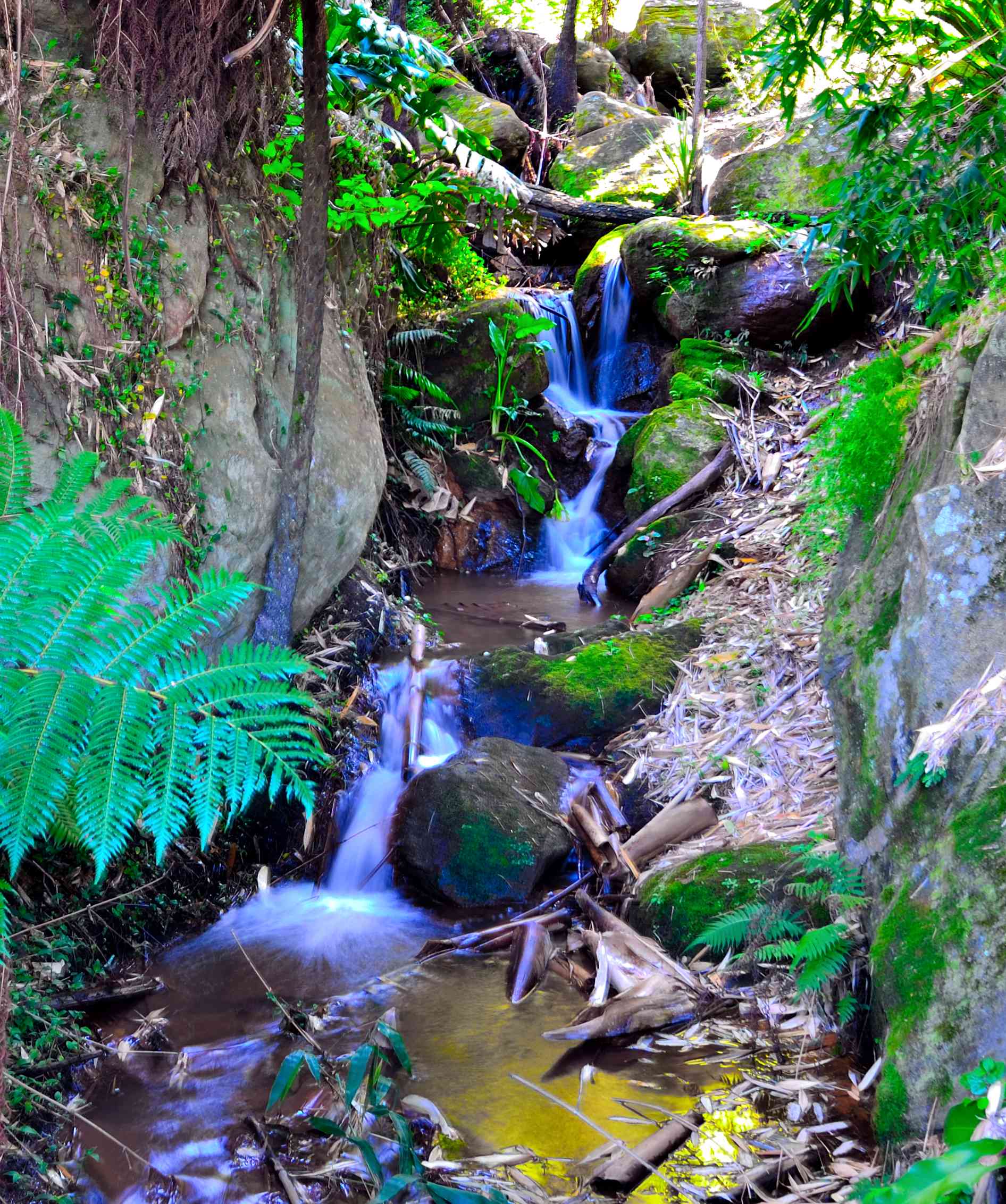
Spring Bluff railway station water fall
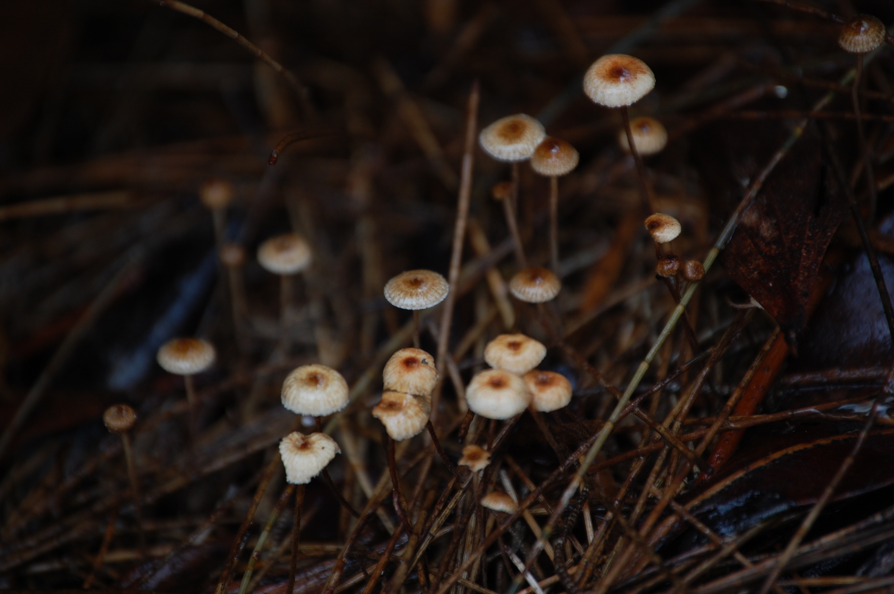
Right under my feet
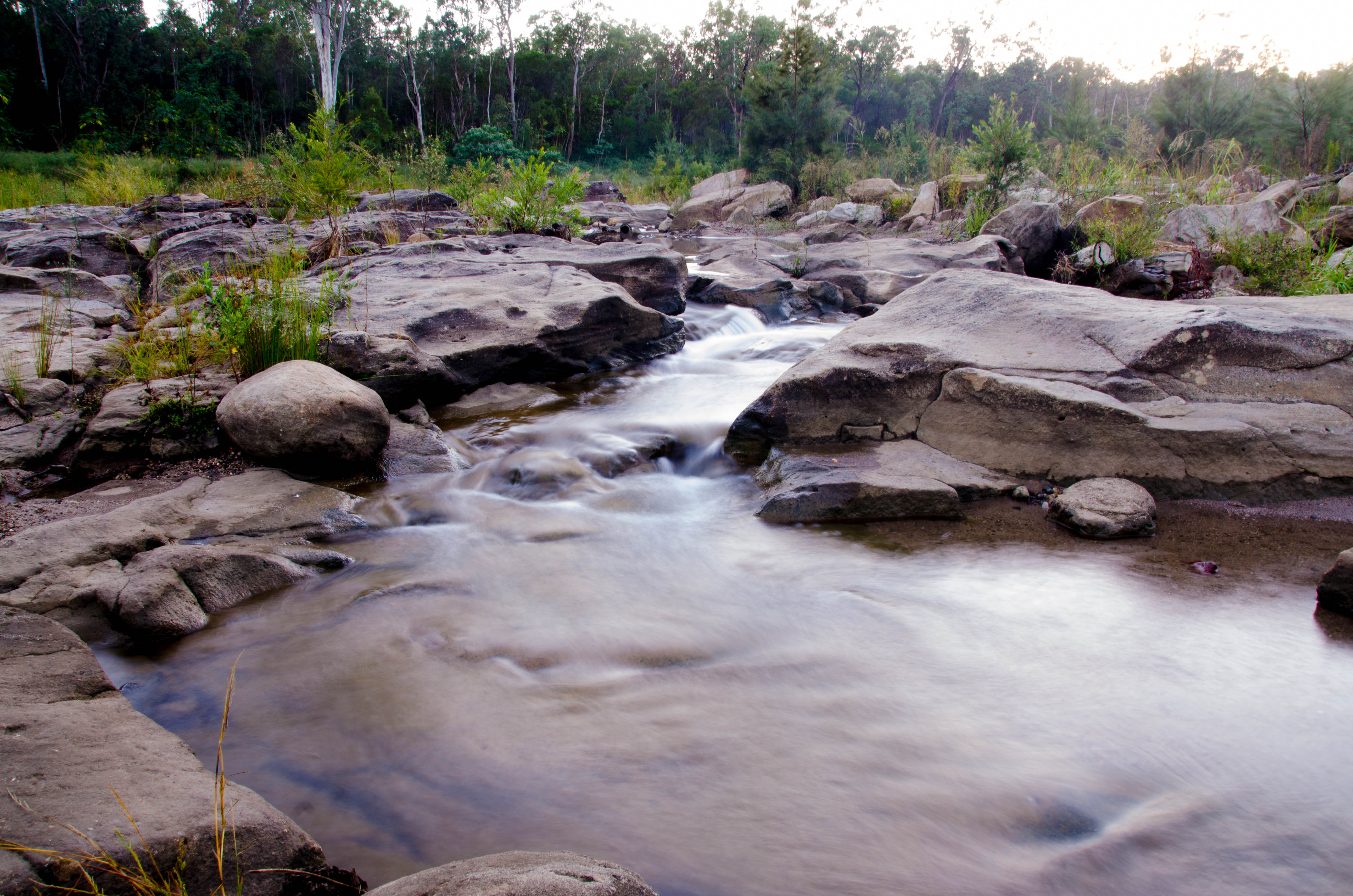
Murphys Creek escape swimming hole
Murphys Creek_20110201114144_Flood1115
The Green Machine

Acacia quadrilateralis
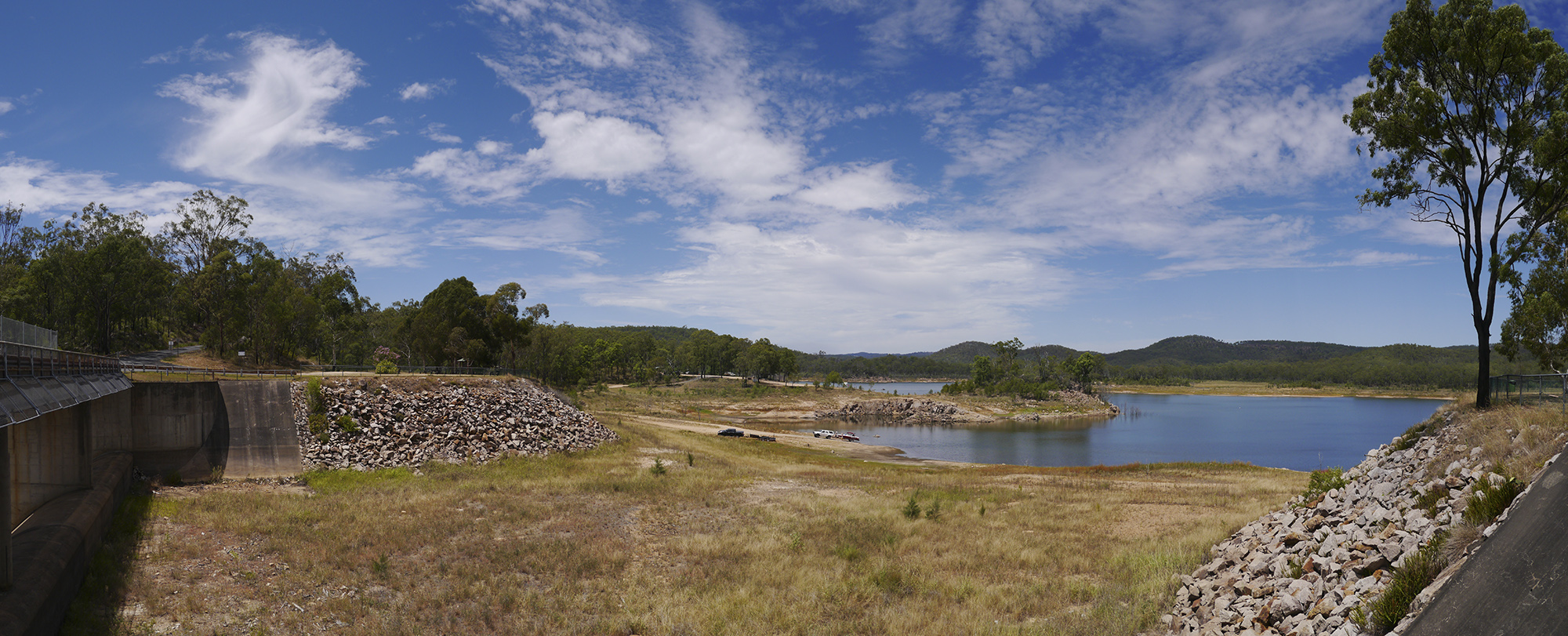
Lake Perserverance

Crows Nest_20110201145528_Flood0334
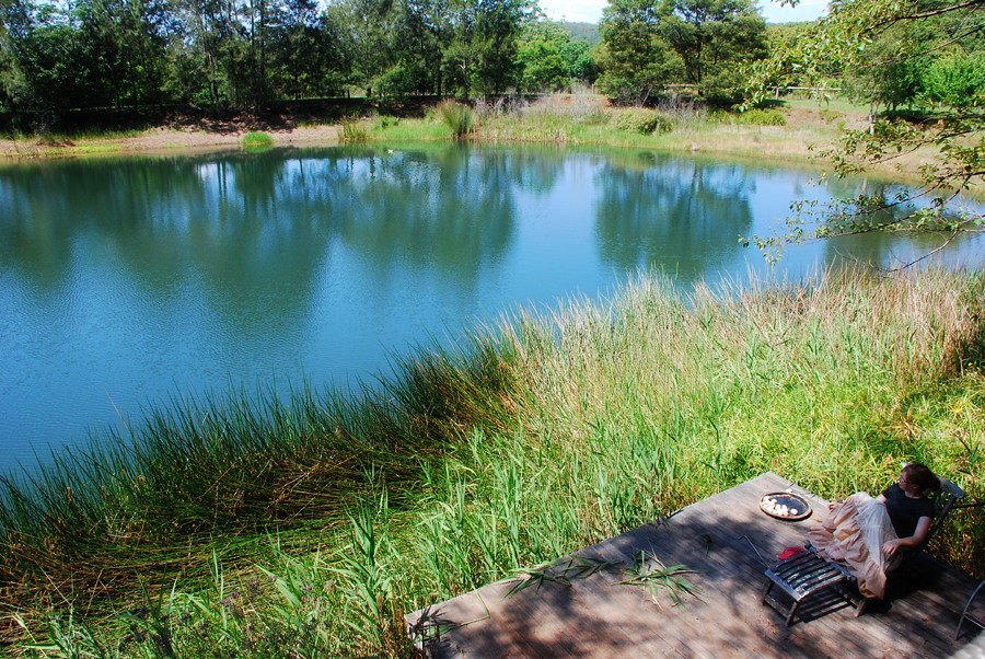
Lower Deck & Lake

Hollow Mandarin
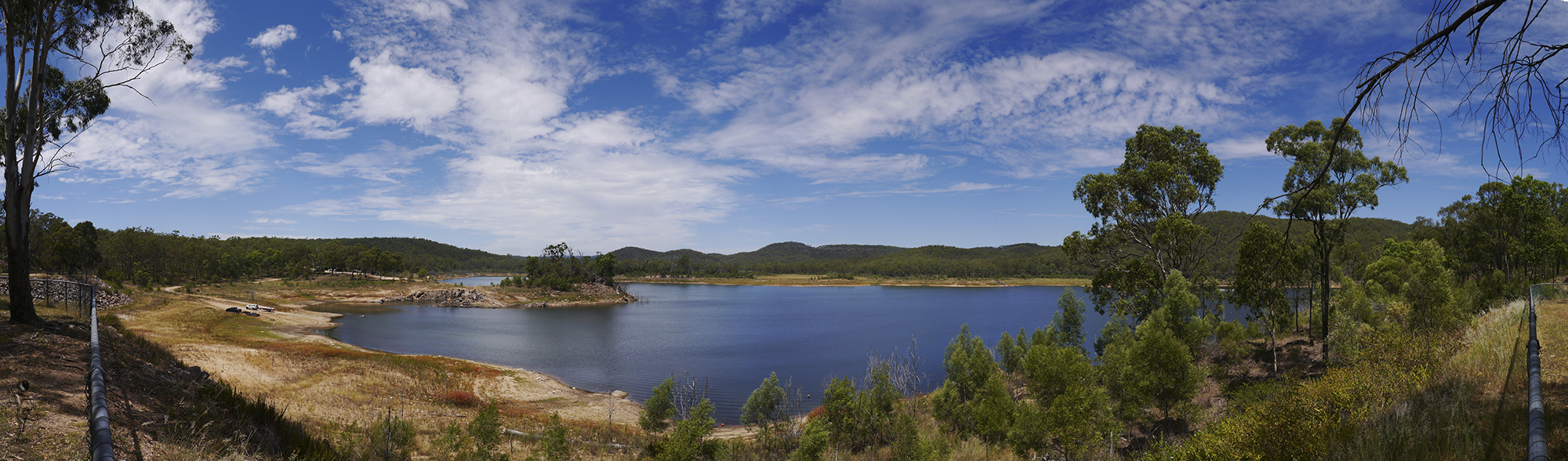
Lake Perserverance
Ravensbourne National Park
Topographic Map of White Mountain Rd, White Mountain QLD, Australia
Find elevation by address:

Places near White Mountain Rd, White Mountain QLD, Australia:
Murphys Creek
141 Donovan Rd
141 Donovan Rd
Cabarlah
83 Donovan Rd
Paynter Road
45 Costello Rd
2 Banksia Cres
15 Evans Rd
1751 Murphys Creek Rd
Helidon Spa
52 Fairy Rd
83 Penny Rd
41 Risson Rd
Withcott
5 Ironbark Ct
Grantham
Ballard
Highfields
Mount Lofty
Recent Searches:
- Elevation of Corso Fratelli Cairoli, 35, Macerata MC, Italy
- Elevation of Tallevast Rd, Sarasota, FL, USA
- Elevation of 4th St E, Sonoma, CA, USA
- Elevation of Black Hollow Rd, Pennsdale, PA, USA
- Elevation of Oakland Ave, Williamsport, PA, USA
- Elevation of Pedrógão Grande, Portugal
- Elevation of Klee Dr, Martinsburg, WV, USA
- Elevation of Via Roma, Pieranica CR, Italy
- Elevation of Tavkvetili Mountain, Georgia
- Elevation of Hartfords Bluff Cir, Mt Pleasant, SC, USA