Elevation of White Manor Motel, Sharp St, Cooma NSW, Australia
Location: Australia > New South Wales >
Longitude: 149.114734
Latitude: -36.238836
Elevation: 813m / 2667feet
Barometric Pressure: 92KPa
Elevation Map:
Satellite Map:
Related Photos:

Front view of PF903 at Cooma.
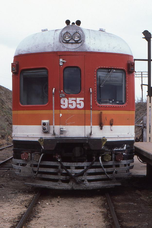
Front view of HPF955 at Cooma.

Coal loading platform and loco shed at Cooma.

Cooma Turntable-2

Avenue of Flags
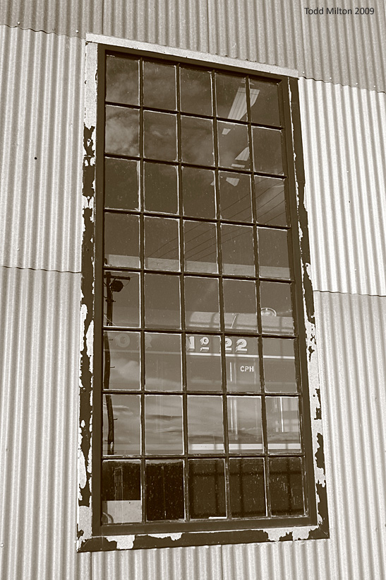
CPH 22 through the Window

Frame 1-3.jpg

CPH Trailer at Cooma Loco
Frame 2-4.jpg
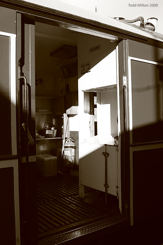
CH 22 Guard

Tree on a hill
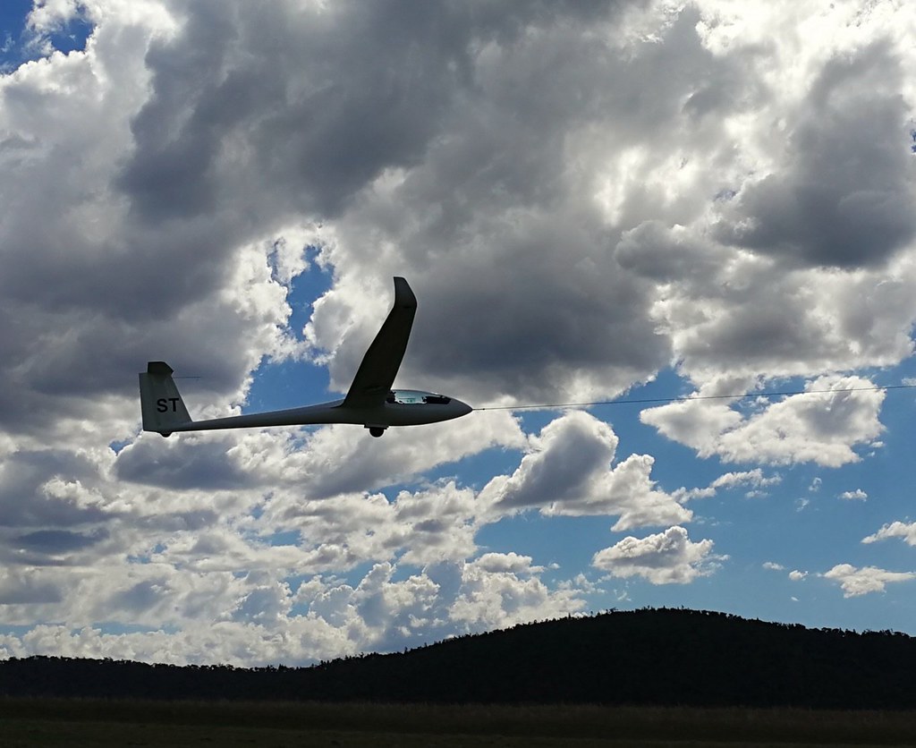
Chris on take-off, Runway 33

By the Numeralla Rd
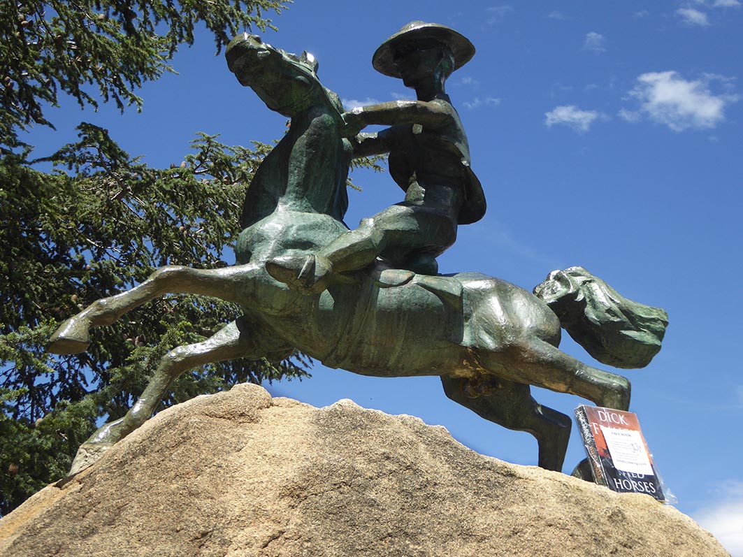
Wild Horses_Cooma 31Oct2018

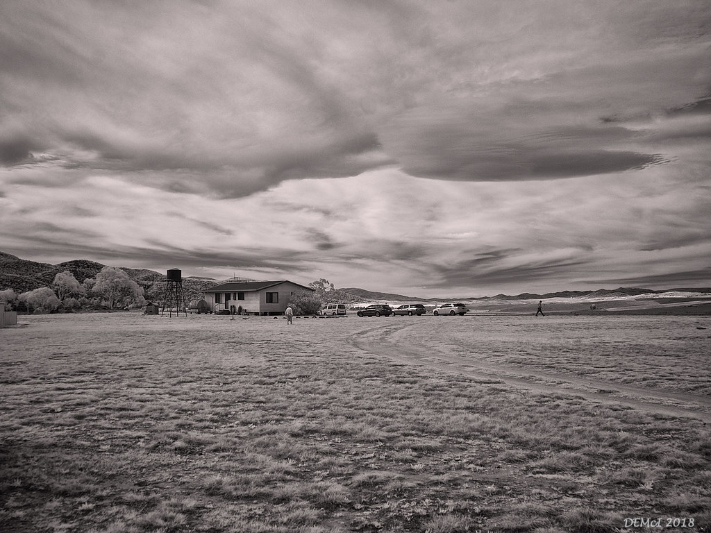
Altocumulus lenticularis (mono)

LONELY ROAD
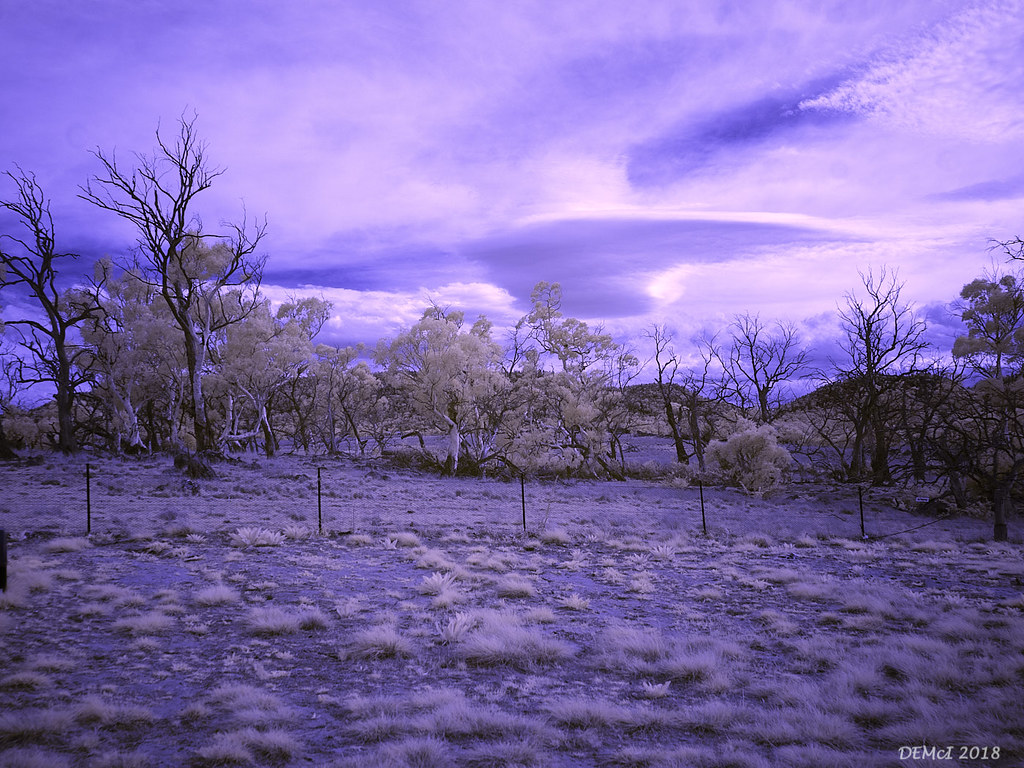
Altocumulus lenticularis (IR)

The road goes ever on and on...

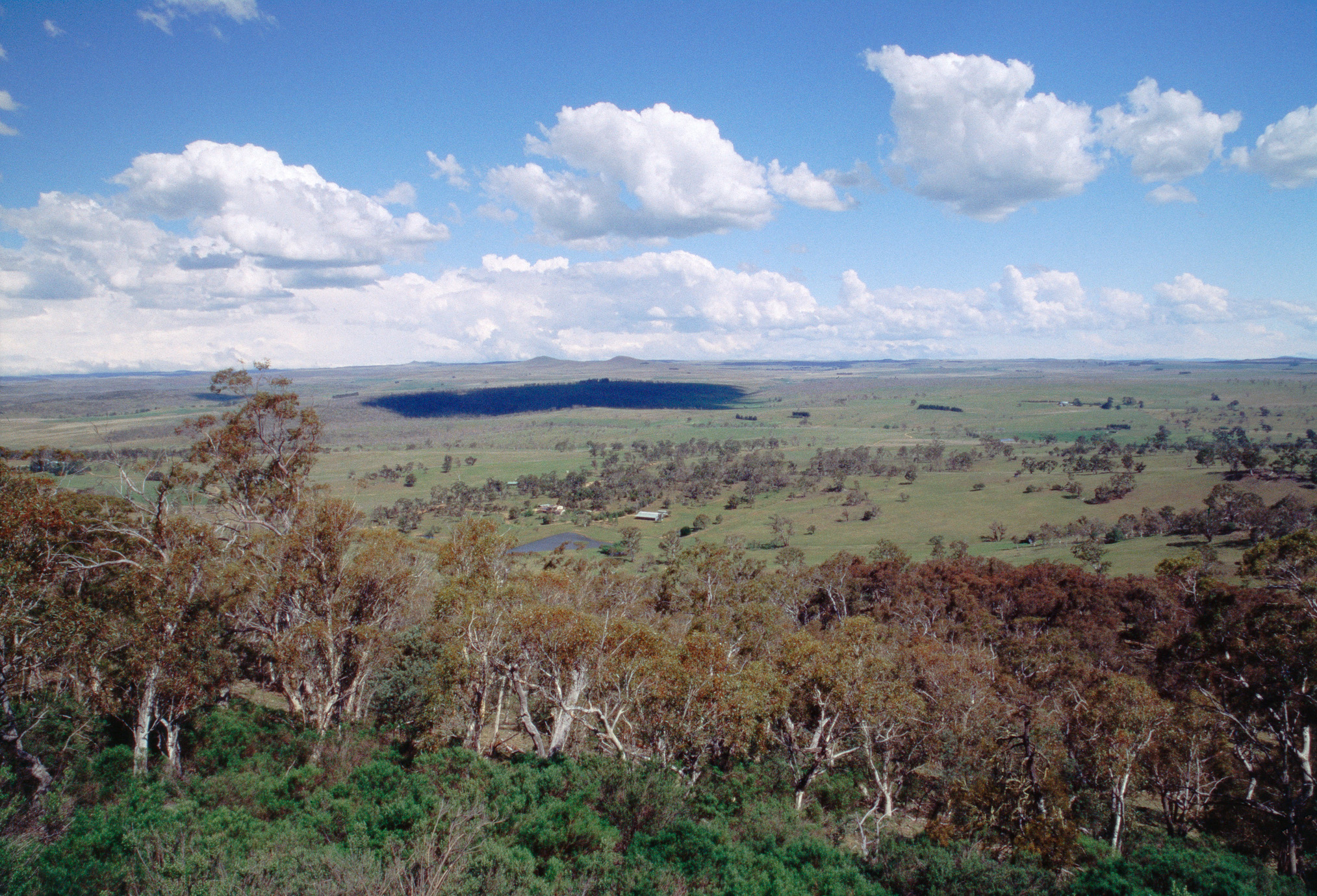
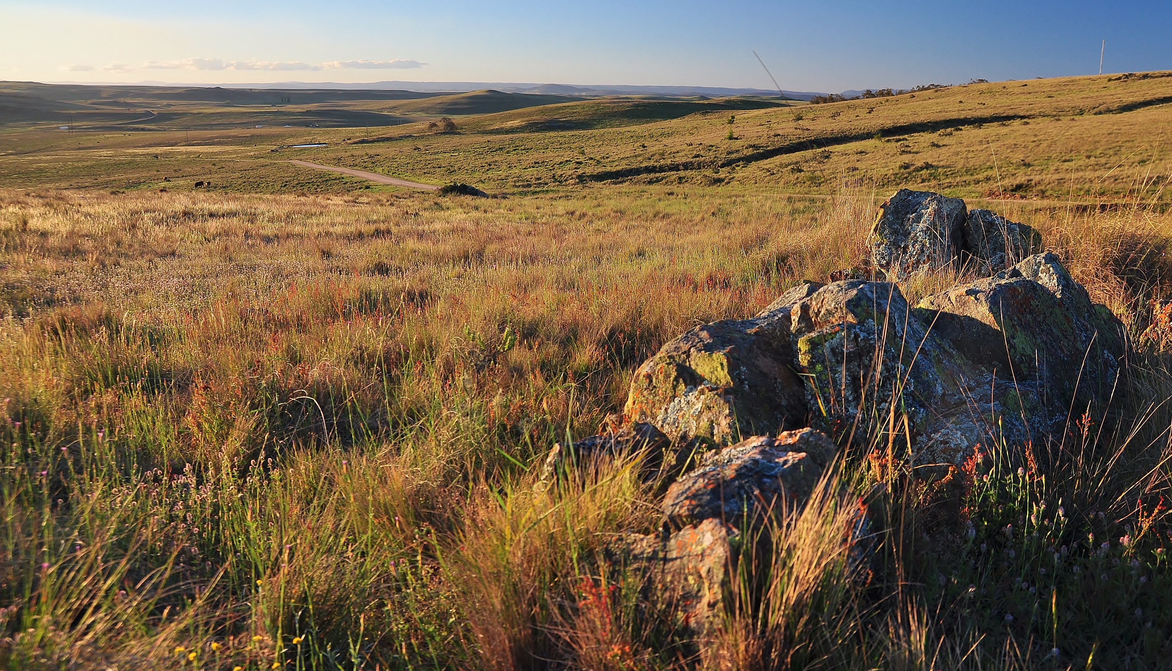
Monaro Grasslands

Cooma brackets
Altocumulus lenticularis (false colour IR)

_BBH5518 Panorama
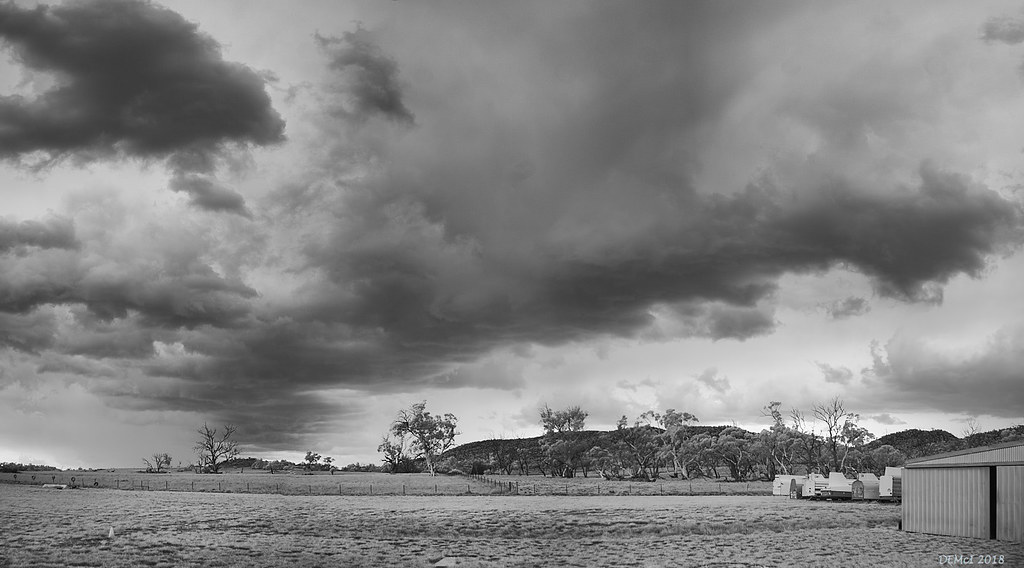
Storm imminent
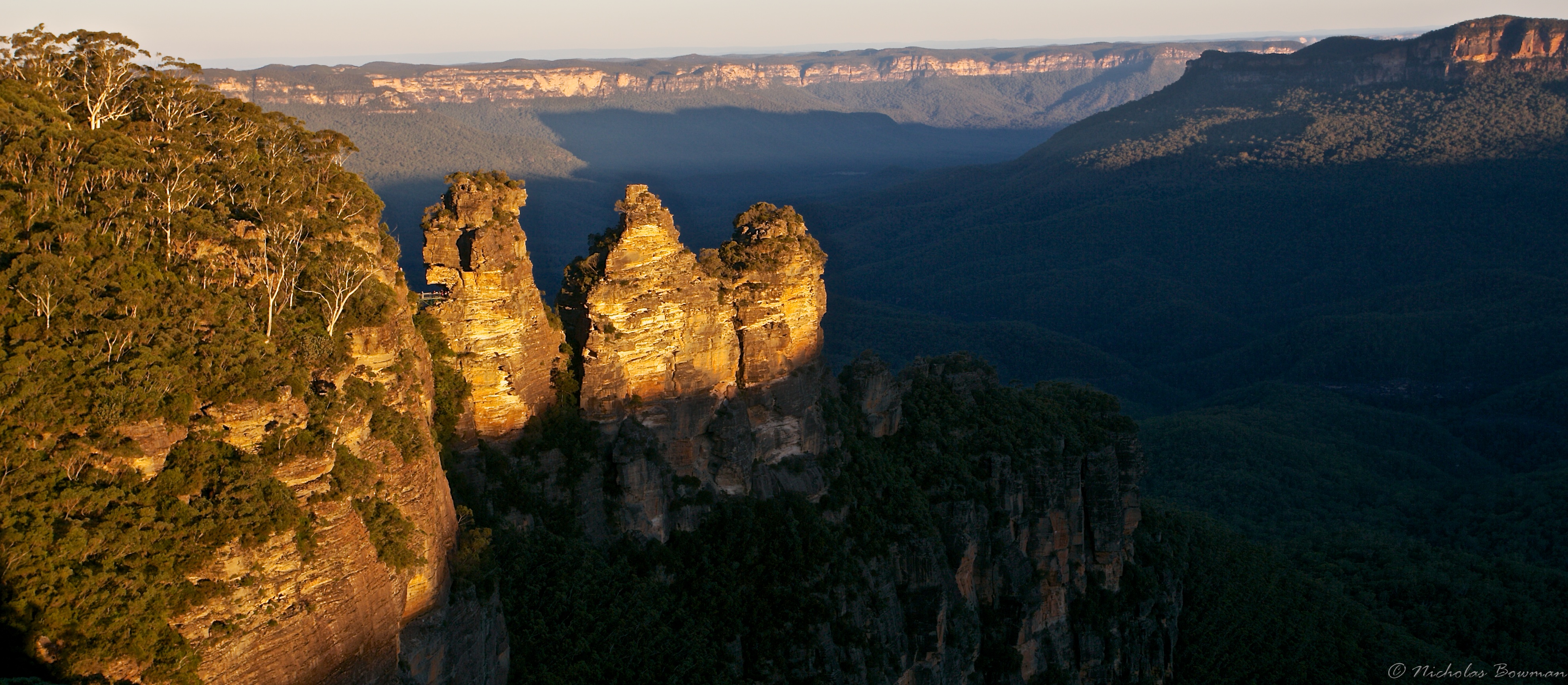
The Three Sisters
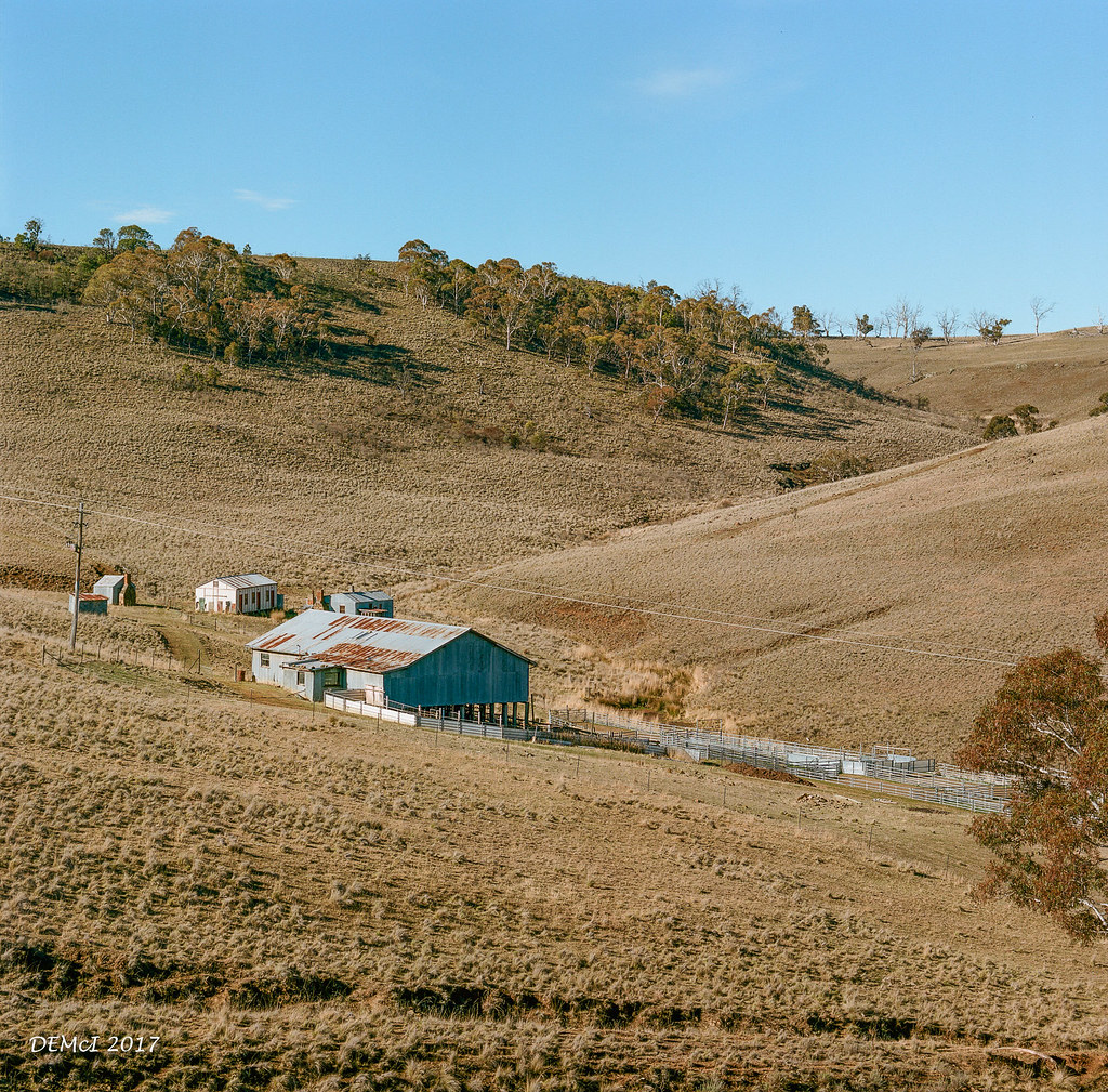
Shearing quarters, Shannons Flat Road
Drought colour

Murrumbidgee River Cooma NSW

.

pine-valley-2010.jpg
.

Above Bunyan Airfield and DGA
Topographic Map of White Manor Motel, Sharp St, Cooma NSW, Australia
Find elevation by address:

Places near White Manor Motel, Sharp St, Cooma NSW, Australia:
Cooma Visitors Centre
Cooma
Nimmitabel
Bredbo
19 Otway St
Badja
Green Hills Firetrail
Galba
49 Harolds Cross Rd
Wandella
3 Pelloe Pl
Richardson
Googong
Tuggeranong
Wanniassa
52 Kirkton St
52 Kirkton St
Kirkton Street
Kambah
Queanbeyan City Council
Recent Searches:
- Elevation of Corso Fratelli Cairoli, 35, Macerata MC, Italy
- Elevation of Tallevast Rd, Sarasota, FL, USA
- Elevation of 4th St E, Sonoma, CA, USA
- Elevation of Black Hollow Rd, Pennsdale, PA, USA
- Elevation of Oakland Ave, Williamsport, PA, USA
- Elevation of Pedrógão Grande, Portugal
- Elevation of Klee Dr, Martinsburg, WV, USA
- Elevation of Via Roma, Pieranica CR, Italy
- Elevation of Tavkvetili Mountain, Georgia
- Elevation of Hartfords Bluff Cir, Mt Pleasant, SC, USA