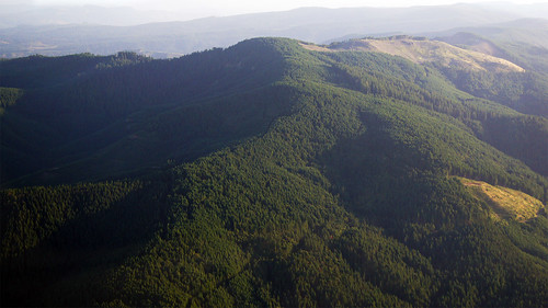
Elevation of Whitaker, OR, USA
Location: United States > Oregon > Linn County >
Longitude: -122.87314
Latitude: 44.5584562
Elevation: 113m / 371feet
Barometric Pressure: 100KPa
Related Photos:
Topographic Map of Whitaker, OR, USA
Find elevation by address:

Places near Whitaker, OR, USA:
Brewster Rd, Lebanon, OR, USA
Mount Hope Drive
Mount Hope Drive
First Creek Drive
Lebanon
592 W C St
Hillview Dr, Lebanon, OR, USA
2710 Cascade Dr
39785 Lacomb Dr
Fox Valley Road
36834 Victory Dr
Waterloo
12 S Railroad St, Lebanon, OR, USA
Crabtree
Hungry Hill Road
Townsend Road
30720 Sw 5th St
30720 Sw 5th St
Sagebrush SE Dr, Lebanon, OR, USA
Lebanon, OR, USA
Recent Searches:
- Elevation of Corso Fratelli Cairoli, 35, Macerata MC, Italy
- Elevation of Tallevast Rd, Sarasota, FL, USA
- Elevation of 4th St E, Sonoma, CA, USA
- Elevation of Black Hollow Rd, Pennsdale, PA, USA
- Elevation of Oakland Ave, Williamsport, PA, USA
- Elevation of Pedrógão Grande, Portugal
- Elevation of Klee Dr, Martinsburg, WV, USA
- Elevation of Via Roma, Pieranica CR, Italy
- Elevation of Tavkvetili Mountain, Georgia
- Elevation of Hartfords Bluff Cir, Mt Pleasant, SC, USA


