Elevation of Whippoorwill Dr, Holt, FL, USA
Location: United States > Florida > Okaloosa County > Holt >
Longitude: -86.75813
Latitude: 30.682401
Elevation: 43m / 141feet
Barometric Pressure: 101KPa
Elevation Map:
Satellite Map:
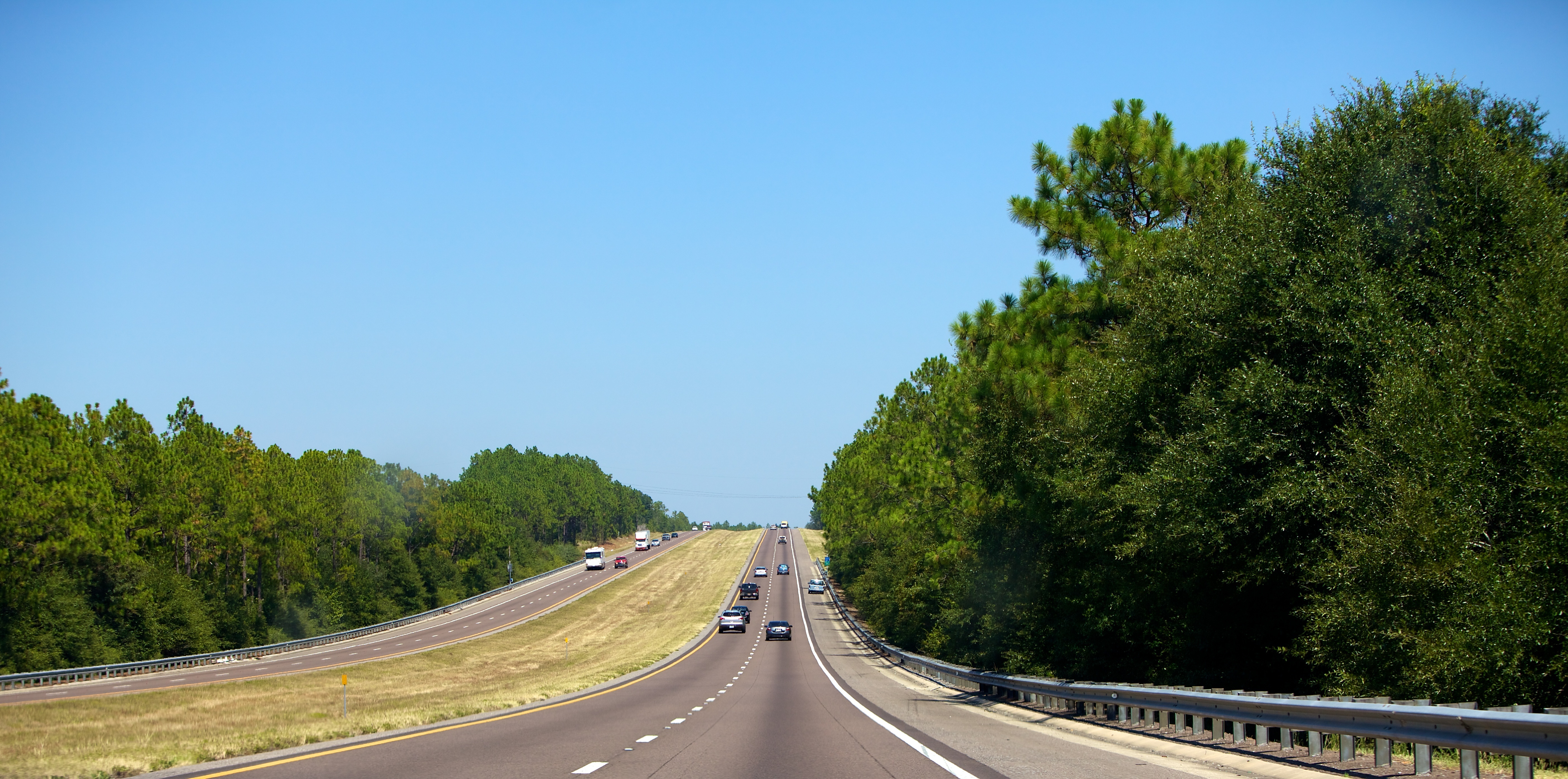
Related Photos:

Trumpeter Swan FL March 2016

Epic view (edit 2)
Duck Pond - Eglin Reservation, Florida
Yellow River, Florida
Yellow River, Florida
Colour Of Life Water Reflections River View Park Vacation Hello World Check This Out Hanging Out That's Me Enjoying Life Sun Beauty In Nature
Blackwater River State Park, Florida

Hiking...

Blackwater River State Park, Florida
Blackwater River State Park, Florida
Florida Trail - Eglin Reservation, Florida

Big Juniper Creek in the Florida panhandle

138:365 - sunset flood

Juniper Creek Trail - Blackwater River State Forest, Florida
Baker, Florida
day19 651

Florida Trail - Eglin Range Complex, Florida
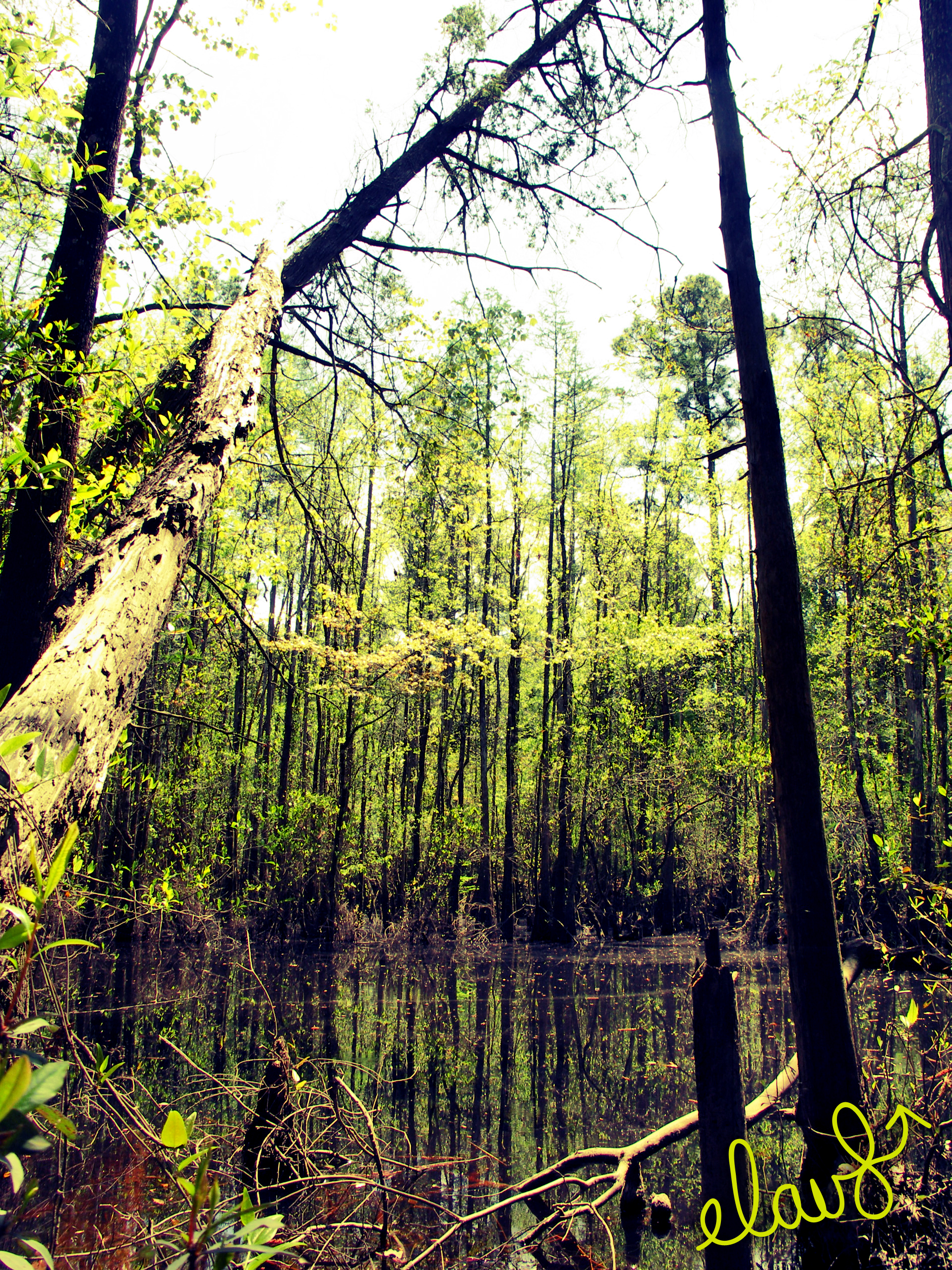
Swamps near Blackwater River
Topographic Map of Whippoorwill Dr, Holt, FL, USA
Find elevation by address:

Places near Whippoorwill Dr, Holt, FL, USA:
Annie Jo Road
Yellow River Lane
498 Yellow River Ln
4526 Bryant Bridge Cutoff Rd
Holt
555 Springtime Ave
960 Hiawatha St
928 Hiawatha St
1029 Trawick Creek Rd
Wilkerson Bluff Road
Galiver Cutoff, Holt, FL, USA
8384 Fish Hatchery Rd
Bliss Way
11805 Bob Pitts Rd
4472 Wilkerson Bluff Rd
5155 Keyser Mill Rd
Ray St, Baker, FL, USA
Milligan
5332 Morrisey Cir
534 Vulpes Sanctuary Loop
Recent Searches:
- Elevation of Corso Fratelli Cairoli, 35, Macerata MC, Italy
- Elevation of Tallevast Rd, Sarasota, FL, USA
- Elevation of 4th St E, Sonoma, CA, USA
- Elevation of Black Hollow Rd, Pennsdale, PA, USA
- Elevation of Oakland Ave, Williamsport, PA, USA
- Elevation of Pedrógão Grande, Portugal
- Elevation of Klee Dr, Martinsburg, WV, USA
- Elevation of Via Roma, Pieranica CR, Italy
- Elevation of Tavkvetili Mountain, Georgia
- Elevation of Hartfords Bluff Cir, Mt Pleasant, SC, USA