Elevation of Whatcom Falls Neighborhood, Bellingham, WA, USA
Location: United States > Washington > Whatcom County > Bellingham >
Longitude: -122.43690
Latitude: 48.7419592
Elevation: 111m / 364feet
Barometric Pressure: 100KPa
Elevation Map:
Satellite Map:
Related Photos:
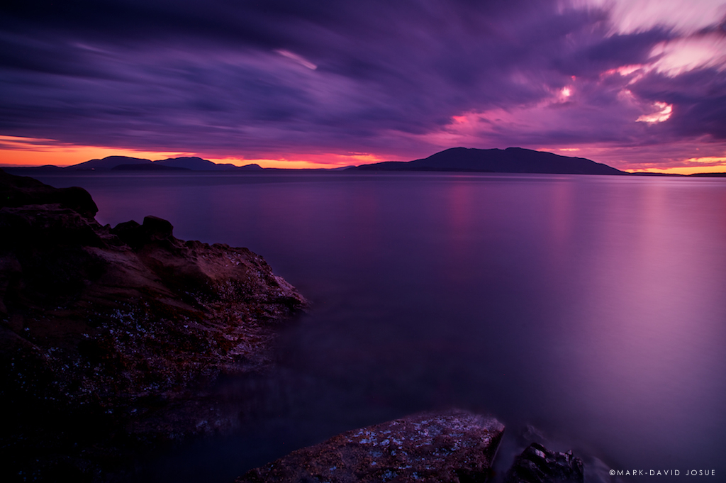
Sunset Silhouette by A
Would you live here? They certainly have some sweet views! Located just north of Larrabee State Park, I liked the way I could use the trees to frame the house. * Captured with the #Sony #A7RII and #Canon #70200 lens

Flowering Grass, Samish Overlook, Washington

End to a perfect day

Clouds Over Bellingham Bay, Washington, Spring 2017

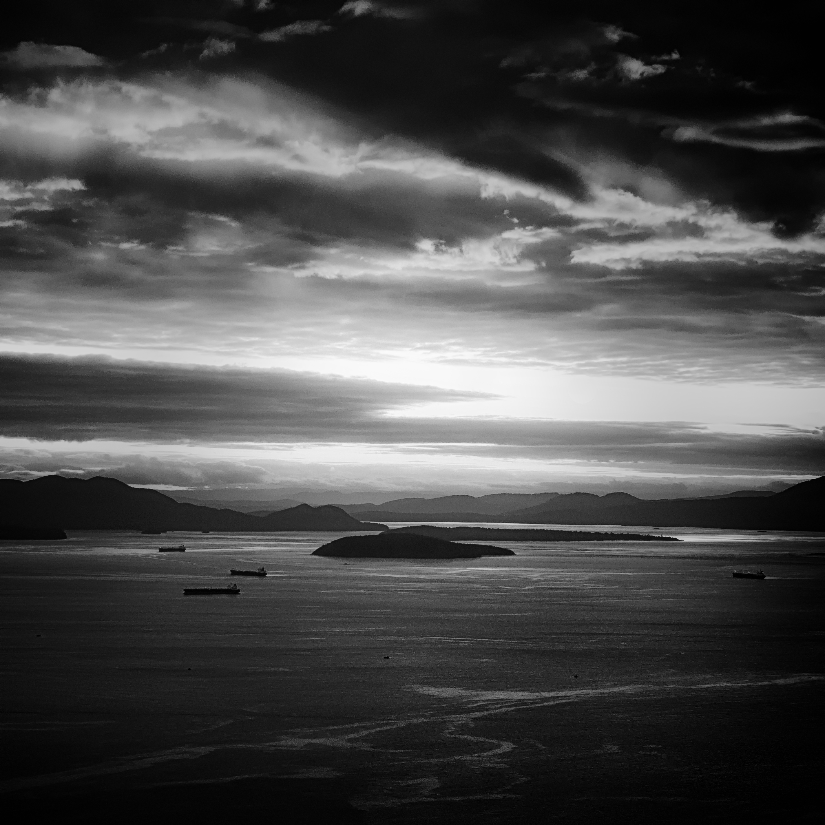
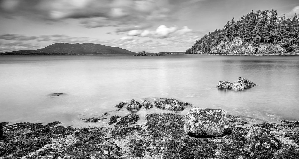
Bellingham Bay
Sehome Arboretum Tunnel
Lummi view to the SE
The Day of Reckoning

Karrin & Moxxie on Blanchard Mountain

Red River Red Barn
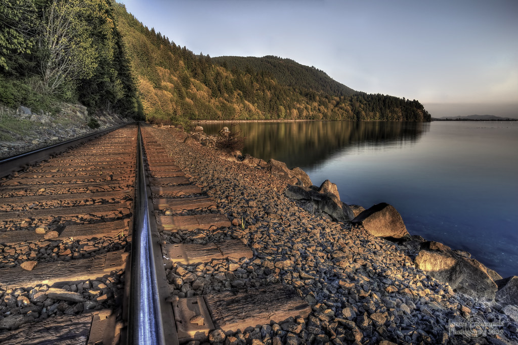
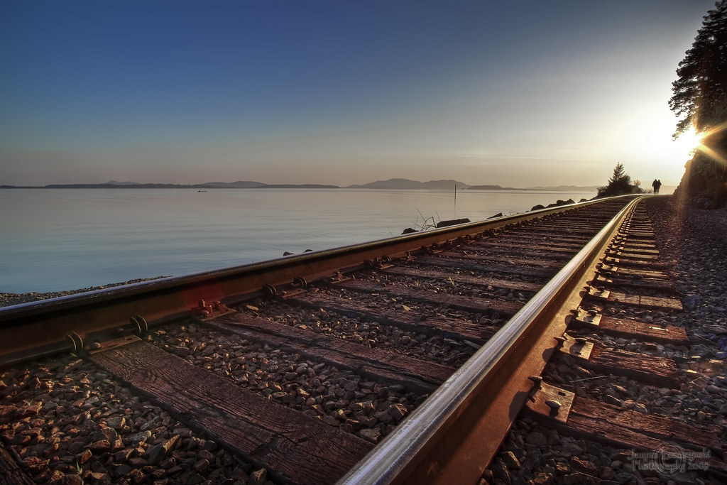
Ribbons of Steel (Please view large or On Black)

The Long Walk
A Light From Above

Blue Hour

You can wait till morning comes
Blanchard View
Us and Them
Karrin & Moxxie on Blanchard Mountain

Islands on the deck
See Me
Whatcom Creek Log

Whatcom Falls Jumping Rocks

Clayton Beach
Clayton Beach
Xwotquem Swimming Hole

Spring Sunset
_MG_8992 Oyster Dome trail
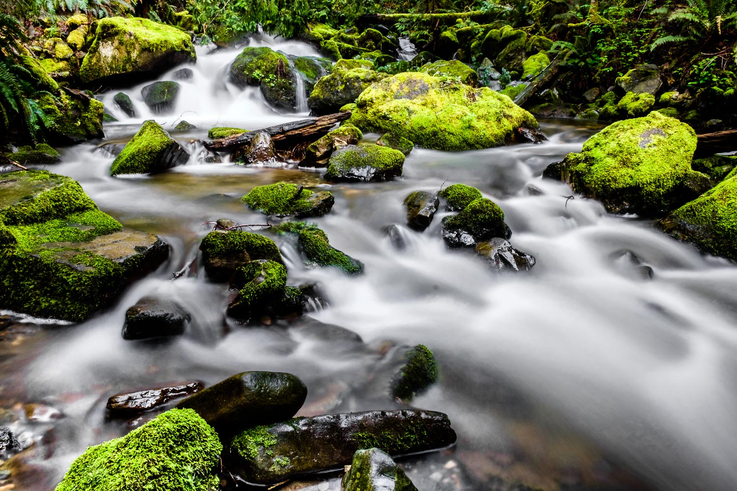
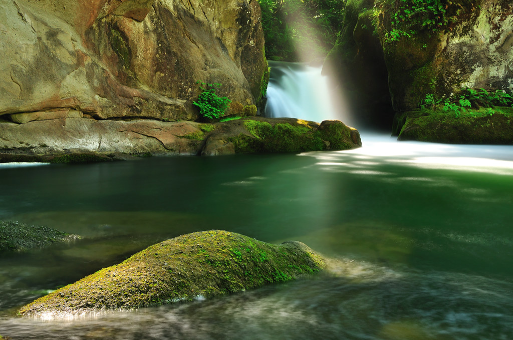
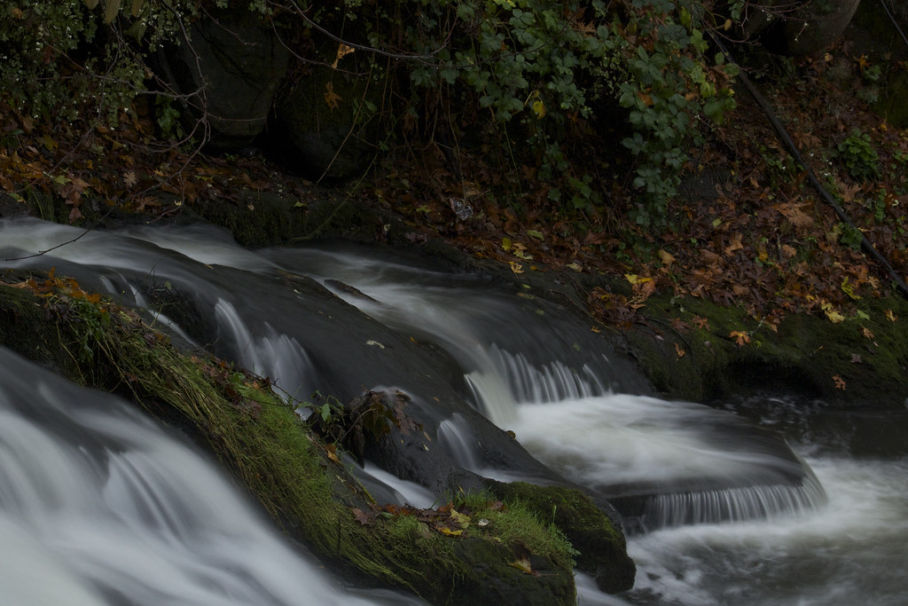
Oyster Creek

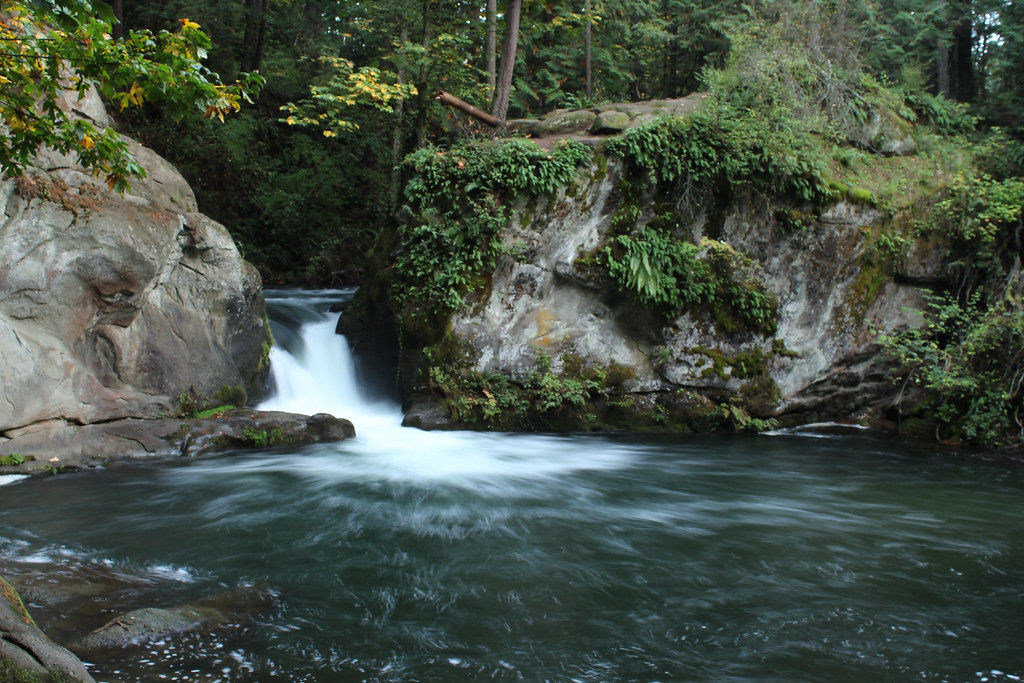
Whatcom Falls

My Grandfather and Me

Finding the Light

Lake Padden

Oyster Creek, Washington State

Oyster Creek

Old meets new
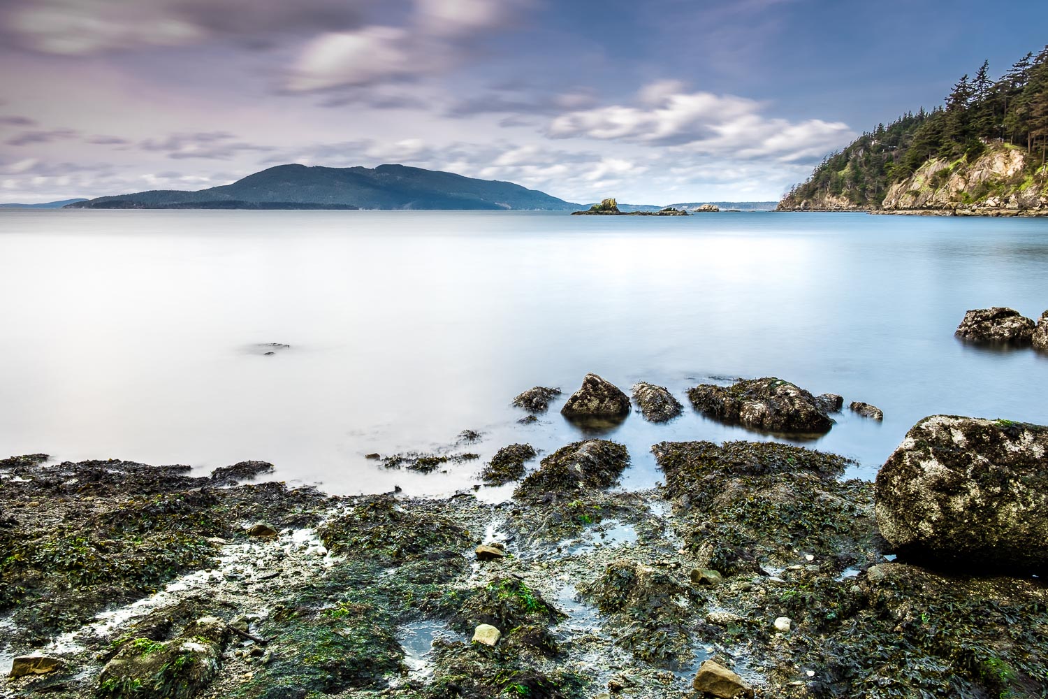
Clayton Beach
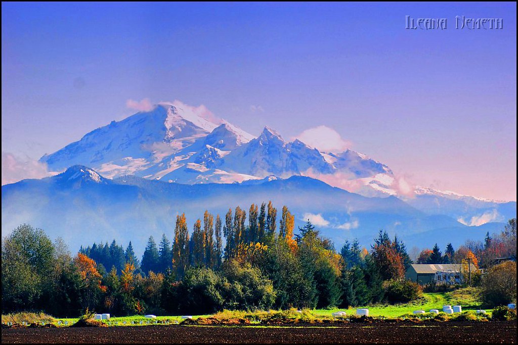
Mount Baker

Between Storms
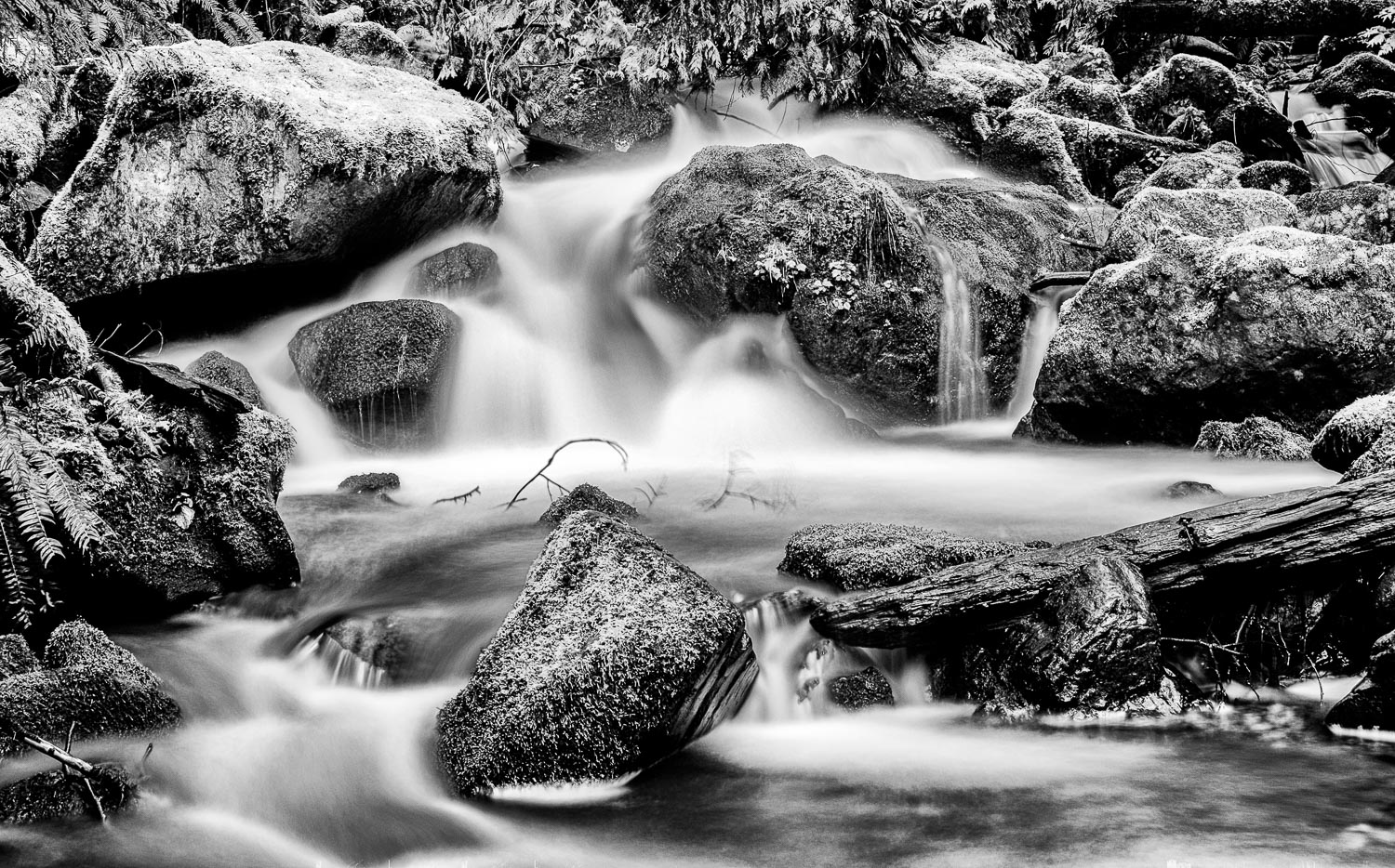
Oyster Creek
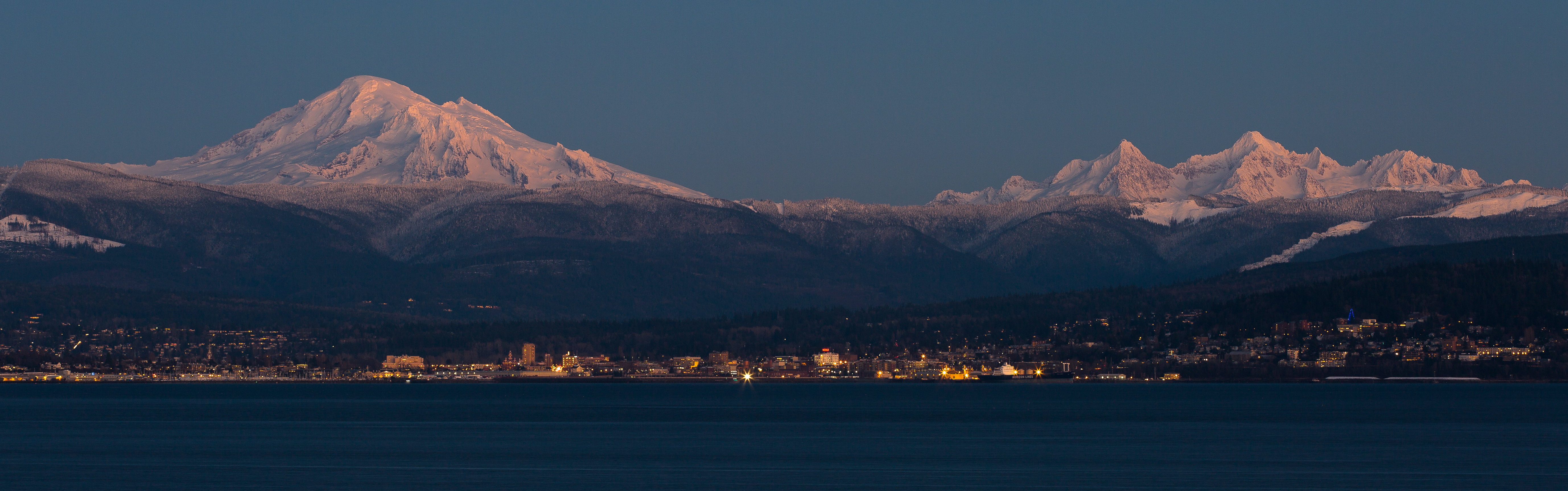
My tidewater town
Topographic Map of Whatcom Falls Neighborhood, Bellingham, WA, USA
Find elevation by address:

Places near Whatcom Falls Neighborhood, Bellingham, WA, USA:
1160 Undine St
2043 Ponderosa Ct
2097 Wildflower Ct
1215 Toledo St
2105 St Clair St
1117 W Racine St
1121 W Racine St
1900 Ohio St
Puget
Yew Street
Roosevelt
4205 Honeysuckle Pl
1200 Lincoln St
1060 York St
Alabama St, Bellingham, WA, USA
2524 Queen St
1731 E Maple St
3000 St Paul St
1630 Humboldt St
2215 King St
Recent Searches:
- Elevation of Corso Fratelli Cairoli, 35, Macerata MC, Italy
- Elevation of Tallevast Rd, Sarasota, FL, USA
- Elevation of 4th St E, Sonoma, CA, USA
- Elevation of Black Hollow Rd, Pennsdale, PA, USA
- Elevation of Oakland Ave, Williamsport, PA, USA
- Elevation of Pedrógão Grande, Portugal
- Elevation of Klee Dr, Martinsburg, WV, USA
- Elevation of Via Roma, Pieranica CR, Italy
- Elevation of Tavkvetili Mountain, Georgia
- Elevation of Hartfords Bluff Cir, Mt Pleasant, SC, USA