Elevation of Whaleyville Blvd, Suffolk, VA, USA
Location: United States > Virginia > Suffolk >
Longitude: -76.629552
Latitude: 36.672492
Elevation: 21m / 69feet
Barometric Pressure: 101KPa
Elevation Map:
Satellite Map:
Related Photos:
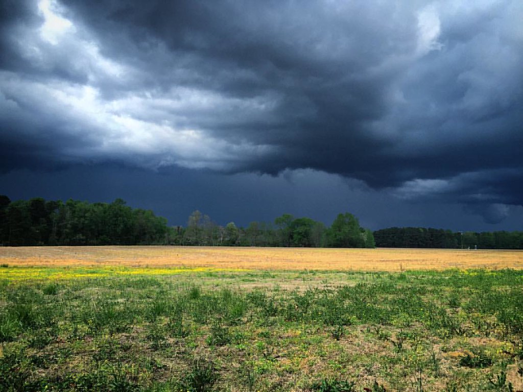
View from a lawnmower. #storm #clouds

Hit the Road Jack

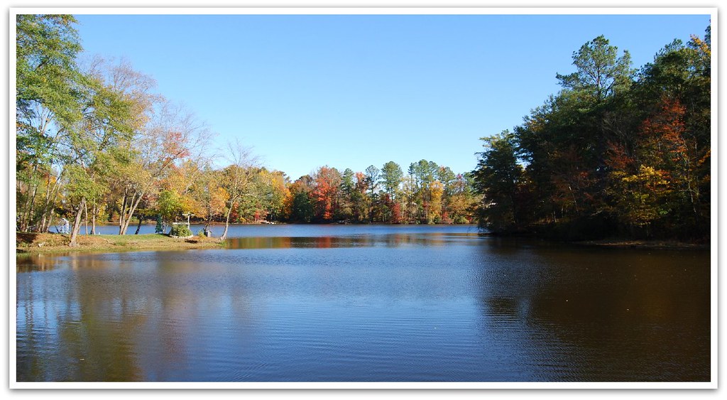
Lake Meade in the Fall

What a view

Aerial view
I took a long time to find heaven!

Swainson's Warbler

Barred Owl

Red-shouldered Hawk

Prairie Warbler

Kings Fork Sunrise
dismal_swamp-58.jpg

dismal_swamp-57.jpg
03-11-13 140

dismal_swamp.jpg
dismal_swamp-59.jpg

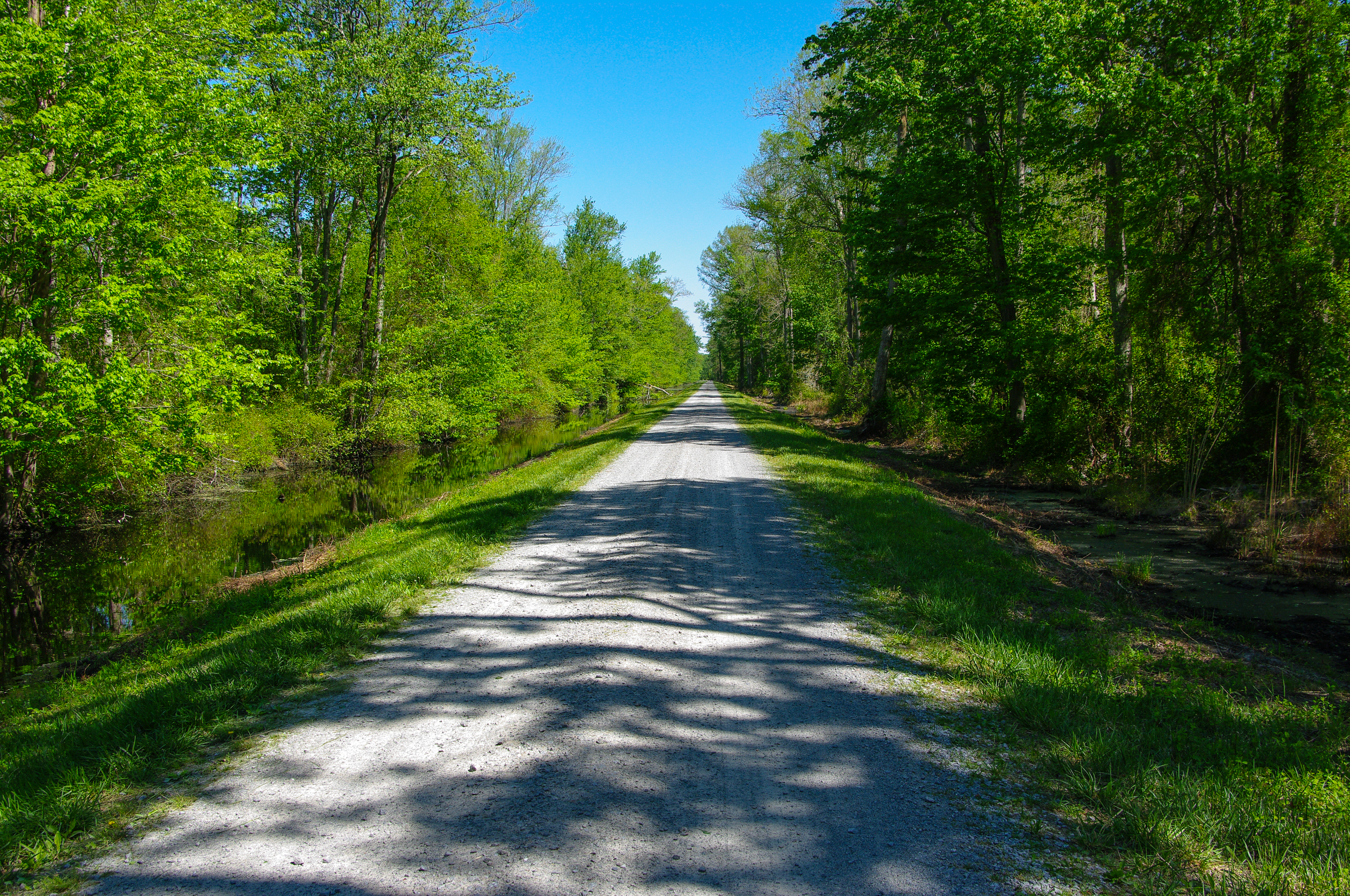
Lonely Road
Portsmouth River Walk

dismal_swamp-41.jpg
Portsmouth River Walk

dismal_swamp-40.jpg

Boats Ashore
03-11-13 142
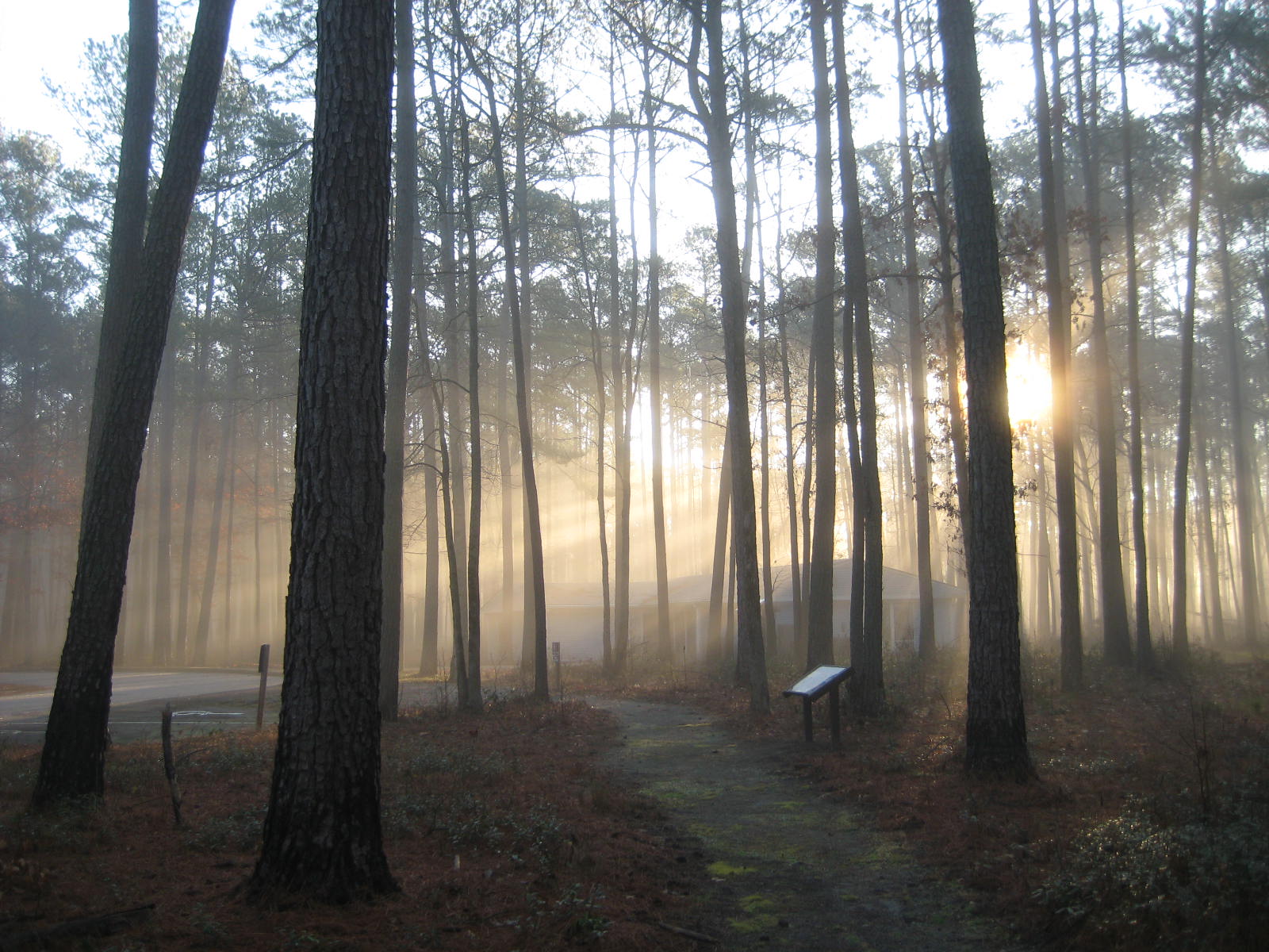
Sun through the trees

Portsmouth River Walk
dismal_swamp-7.jpg
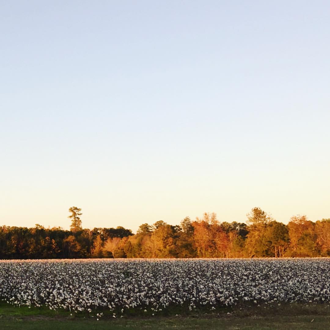
Golden, sunset light on autumn leaves that hover over fields of puffy, white cotton. So thankful we got to spend time with dear friends this weekend.
03-11-13 138

dismal_swamp-31.jpg
Topographic Map of Whaleyville Blvd, Suffolk, VA, USA
Find elevation by address:

Places near Whaleyville Blvd, Suffolk, VA, USA:
1913 Whaleyville Blvd
2257 Whaleyville Blvd
Suffolk, VA, USA
Austin Dr, Suffolk, VA, USA
621 Babbtown Rd
770 Babbtown Rd
4023 Brian's Ln #17
4023 Brian's Ln #17
Pinehurst Dr, Suffolk, VA, USA
1431 Lipton Cir
Northbrooke Ave, Suffolk, VA, USA
Kilby Ave, Suffolk, VA, USA
Holland Rd, Suffolk, VA, USA
Desert Rd, Suffolk, VA, USA
105 Maury Pl
Bedford Place
4224 White Marsh Rd
300 York St
McKinley Ave, Suffolk, VA, USA
109 S Saratoga St
Recent Searches:
- Elevation of Corso Fratelli Cairoli, 35, Macerata MC, Italy
- Elevation of Tallevast Rd, Sarasota, FL, USA
- Elevation of 4th St E, Sonoma, CA, USA
- Elevation of Black Hollow Rd, Pennsdale, PA, USA
- Elevation of Oakland Ave, Williamsport, PA, USA
- Elevation of Pedrógão Grande, Portugal
- Elevation of Klee Dr, Martinsburg, WV, USA
- Elevation of Via Roma, Pieranica CR, Italy
- Elevation of Tavkvetili Mountain, Georgia
- Elevation of Hartfords Bluff Cir, Mt Pleasant, SC, USA