Elevation of Westpoint, TN, USA
Location: United States > Tennessee > Wayne County >
Longitude: -87.533632
Latitude: 35.1331366
Elevation: 191m / 627feet
Barometric Pressure: 99KPa
Elevation Map:
Satellite Map:
Related Photos:

Creek View Store

Nothing beats this view right here. #countrygirl #myphotos

My view this morning. Cooking breakfast.

Floatin' #float #kayak #river #tennessee #summer #instagood #iphonesia #photooftheday

Breaking Foggie Daylight

Good Morning, Sun!

Genetically modified and government subsidized, but still makes for a good photo.

Retreating Storm Clouds

Sunday Sunrise. Well, soon after sunrise.

A Sunday Sunrise
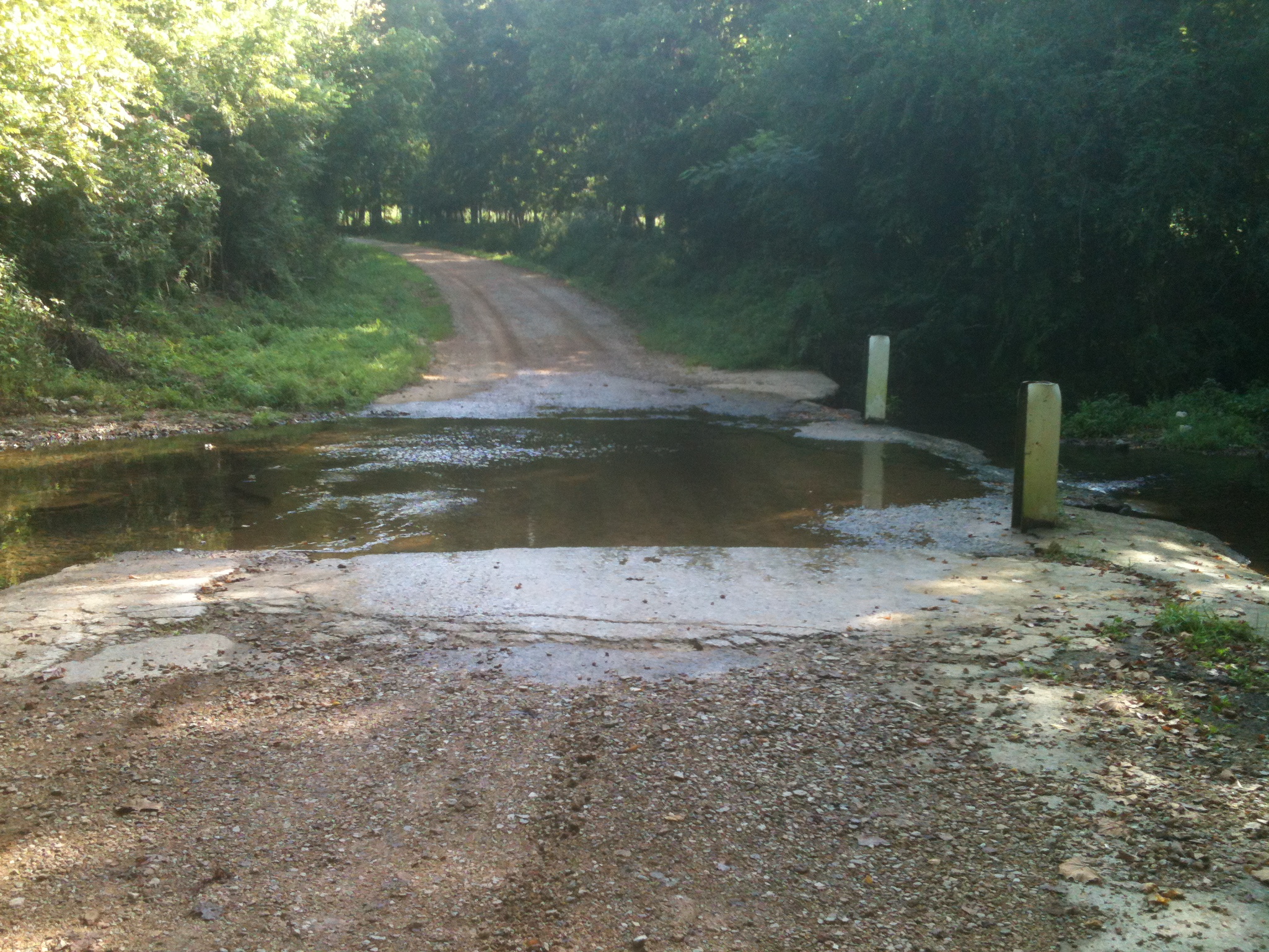
Little Bluewater Ford

After Time

God's Creatures

God's Creatures
Topographic Map of Westpoint, TN, USA
Find elevation by address:

Places in Westpoint, TN, USA:
Places near Westpoint, TN, USA:
California Branch Rd, Westpoint, TN, USA
Mount Nebo
8210 Williams Hollow Rd
191 Mt Nebo Rd
Williams Hollow Rd, Iron City, TN, USA
Loretto
Iron City
Co Rd, Killen, AL, USA
Co Rd 47, Florence, AL, USA
Chisholm Rd, Iron City, TN, USA
9 Killen Branch Rd, Loretto, TN, USA
11219 Co Rd 47
Rabbit Trail Rd, Leoma, TN, USA
765 Co Rd 316
355 Old Florence Pulaski Rd
Old Mill Rd, Lexington, AL, USA
Lexington
Mt Zion Rd, Florence, AL, USA
Lauderdale County 7, Florence, AL, USA
Longshore Dr, Florence, AL, USA
Recent Searches:
- Elevation of Corso Fratelli Cairoli, 35, Macerata MC, Italy
- Elevation of Tallevast Rd, Sarasota, FL, USA
- Elevation of 4th St E, Sonoma, CA, USA
- Elevation of Black Hollow Rd, Pennsdale, PA, USA
- Elevation of Oakland Ave, Williamsport, PA, USA
- Elevation of Pedrógão Grande, Portugal
- Elevation of Klee Dr, Martinsburg, WV, USA
- Elevation of Via Roma, Pieranica CR, Italy
- Elevation of Tavkvetili Mountain, Georgia
- Elevation of Hartfords Bluff Cir, Mt Pleasant, SC, USA