Elevation of Western Reach Road, Western Reach Rd, 4, LA, USA
Location: United States > Louisiana > Union Parish > >
Longitude: -92.446203
Latitude: 32.7625647
Elevation: 25m / 82feet
Barometric Pressure: 101KPa
Elevation Map:
Satellite Map:
Related Photos:
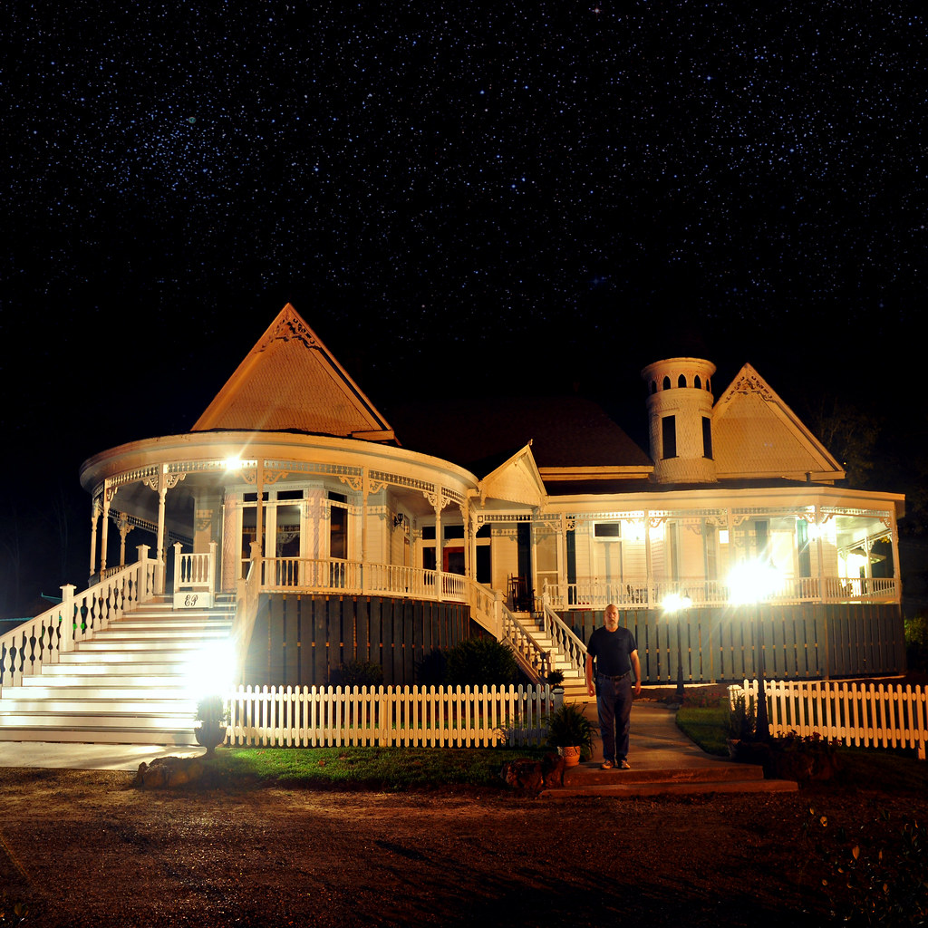
Evening at Edgewood Plantation

It's OK here.

Lake Darbonne Doubletrack

Trail Markers

20120219_105302.jpg

Wild Azaleas
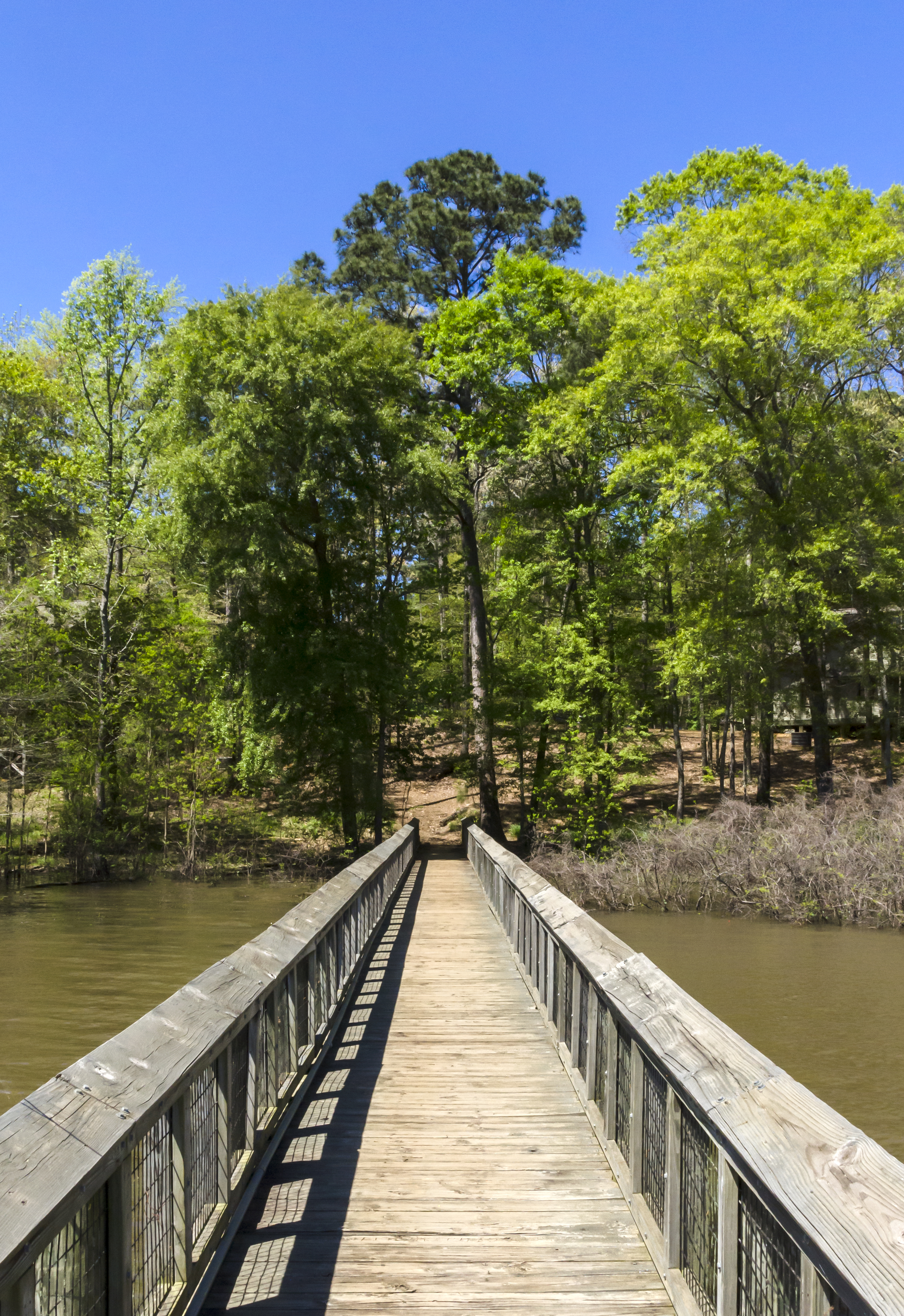
Lake Pier

Bayou D'Arbonne Lake

Bayou D'Arbonne Lake

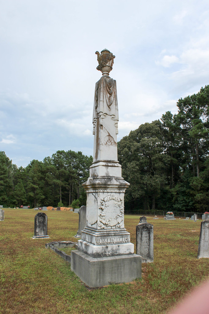
Mount Patrick Cemetary

Mount Patrick Cemetary
Shiloh Cemetary

Shiloh Cemetary

Shiloh Cemetary

Jimmy Scott
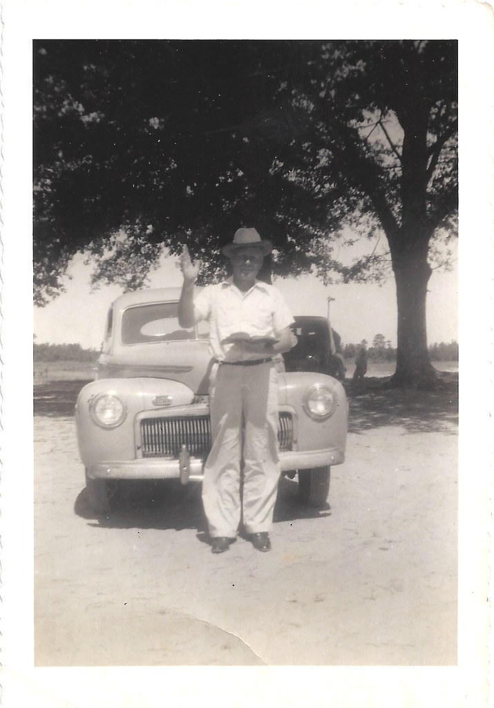
Preacher Man ?

Terral, Dr.,Clinic- Farmerville LA
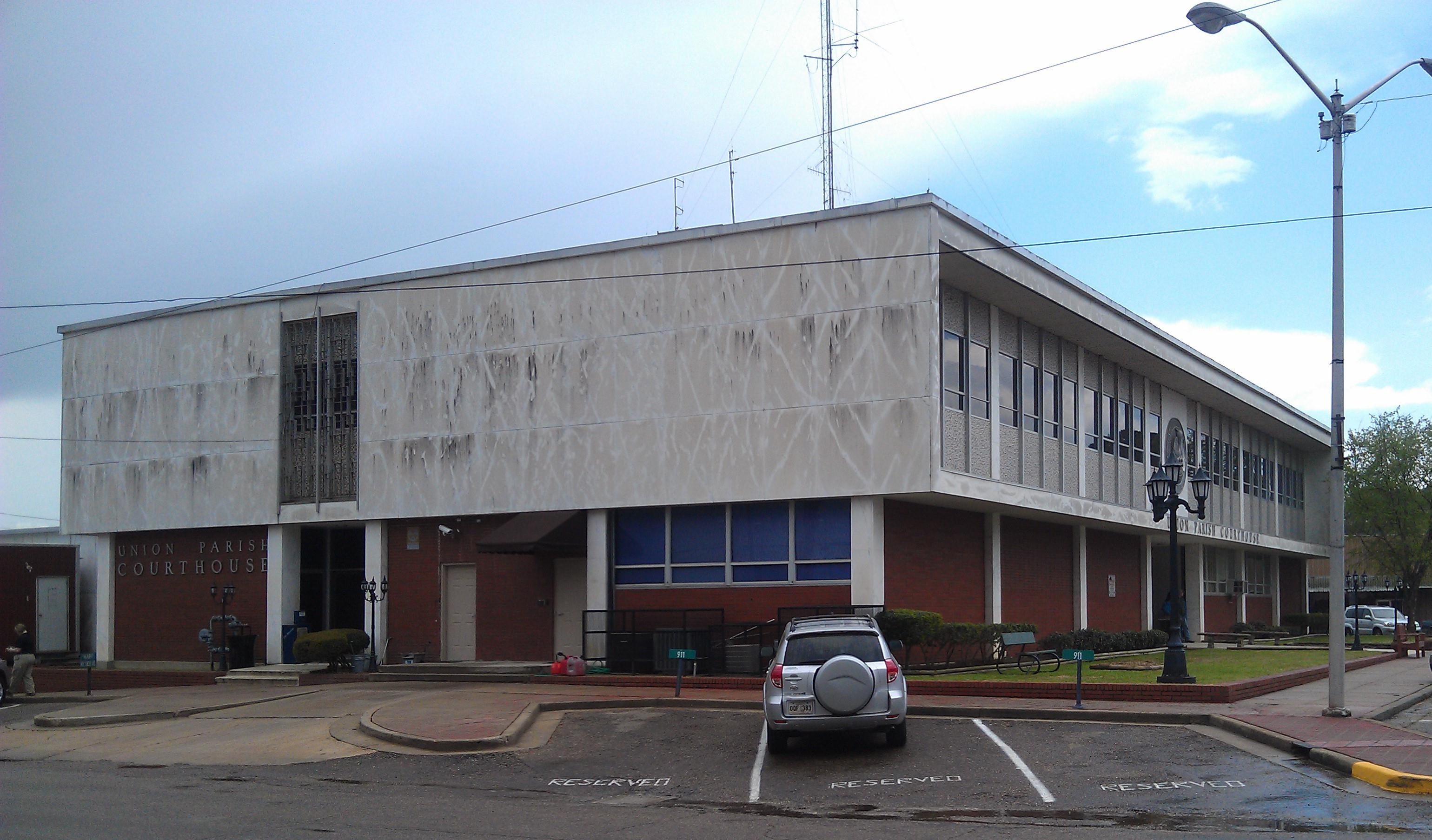
Union Parish Courthouse- Farmerville LA (3)

The Trio
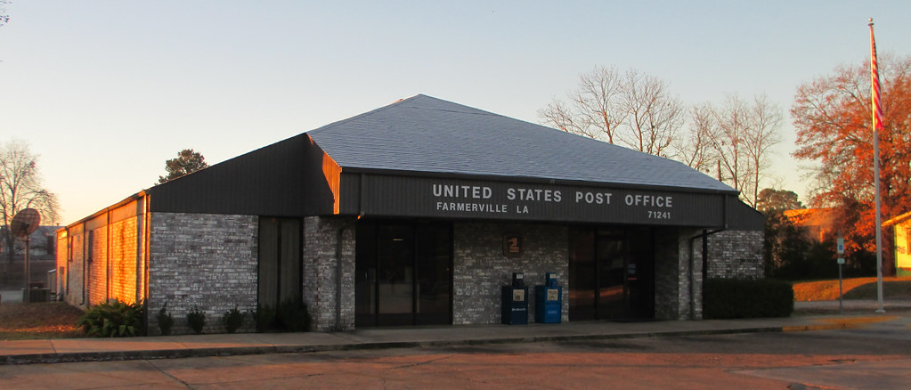
Post Office 71241 (Farmerville, Louisiana)
chad in the camo
Topographic Map of Western Reach Road, Western Reach Rd, 4, LA, USA
Find elevation by address:

Places near Western Reach Road, Western Reach Rd, 4, LA, USA:
149 Western Reach Rd
141 Western Reach Rd
131 Western Reach Rd
137 Western Reach Rd
138 Rabun Dr
Forks Ferry Point
161 Forks Ferry Point Rd
161 Forks Ferry Point Rd
107 Memory Ln
1, LA, USA
S Main St, Farmerville, LA, USA
Farmerville
1215 Webster Bluff Rd
Union Parish
LA-33, Farmerville, LA, USA
430 Wildwood Dr
105 Rocky Ford Ln
Downsville
LA-, Downsville, LA, USA
5, LA, USA
Recent Searches:
- Elevation of Corso Fratelli Cairoli, 35, Macerata MC, Italy
- Elevation of Tallevast Rd, Sarasota, FL, USA
- Elevation of 4th St E, Sonoma, CA, USA
- Elevation of Black Hollow Rd, Pennsdale, PA, USA
- Elevation of Oakland Ave, Williamsport, PA, USA
- Elevation of Pedrógão Grande, Portugal
- Elevation of Klee Dr, Martinsburg, WV, USA
- Elevation of Via Roma, Pieranica CR, Italy
- Elevation of Tavkvetili Mountain, Georgia
- Elevation of Hartfords Bluff Cir, Mt Pleasant, SC, USA