Elevation of West Rutland, VT, USA
Location: United States > Vermont > Rutland County >
Longitude: -73.0451081
Latitude: 43.5930919
Elevation: 151m / 495feet
Barometric Pressure: 0KPa
Related Photos:
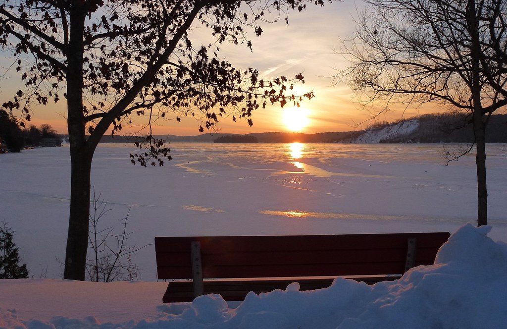
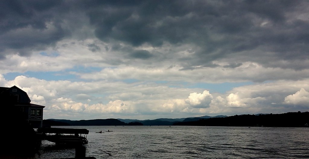
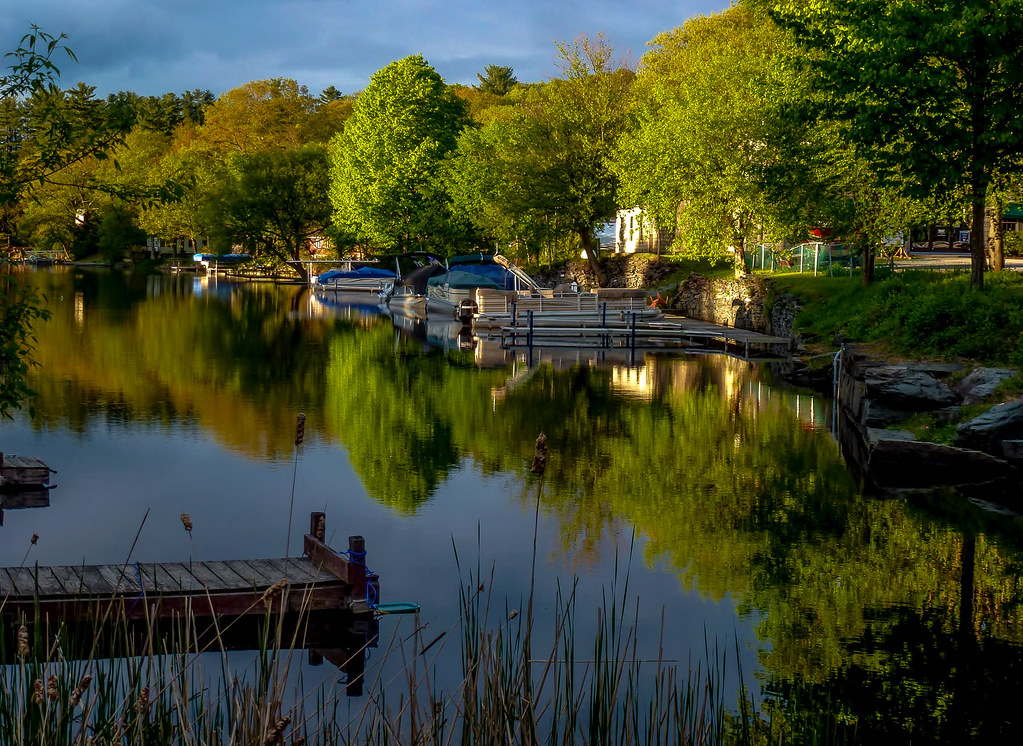
The View

The Lake House
Bench Side View
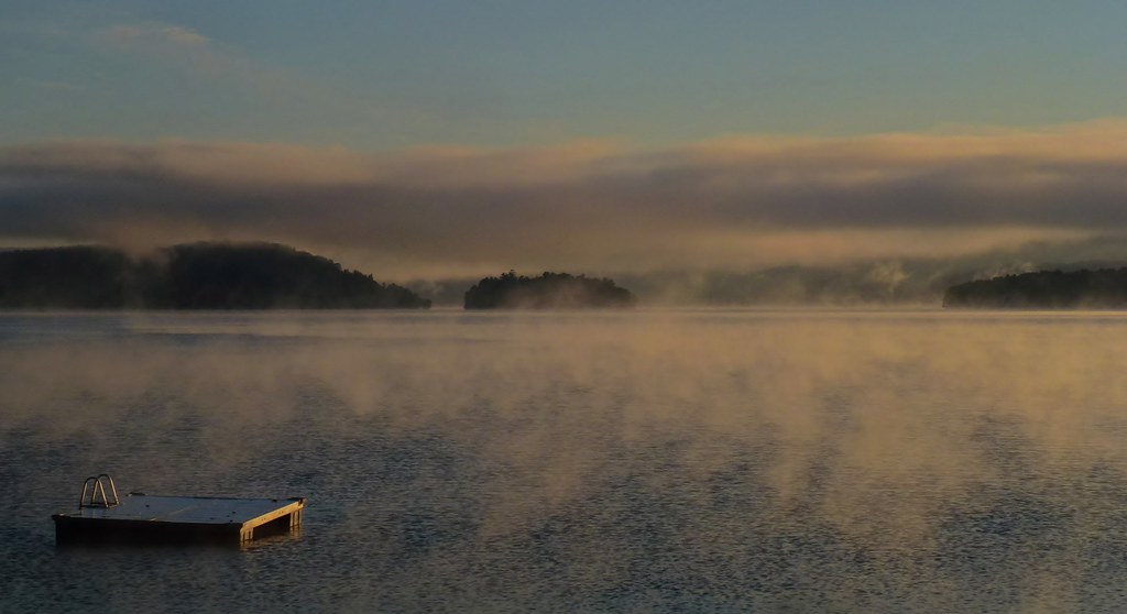
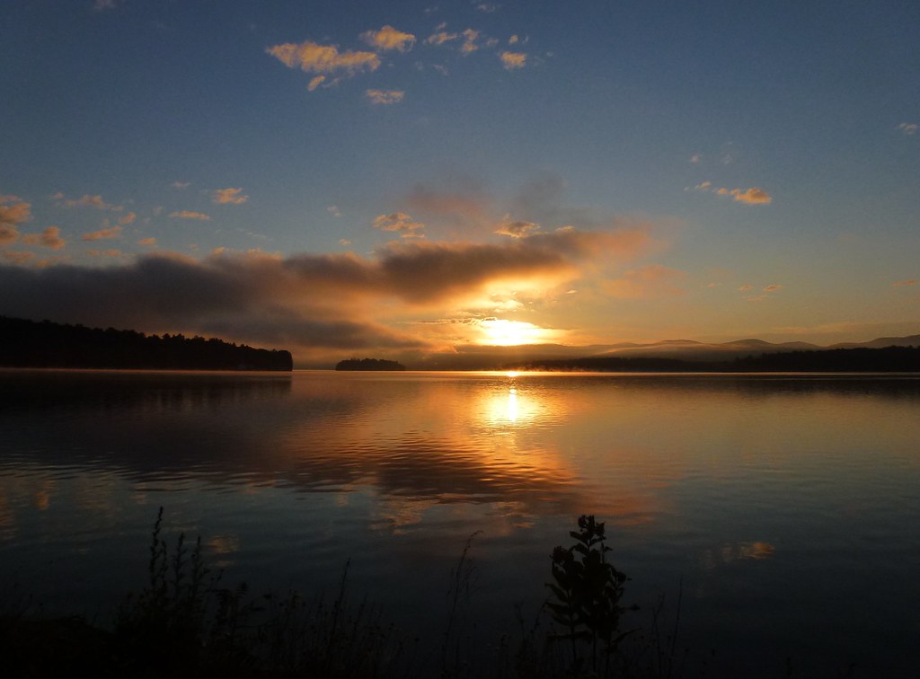
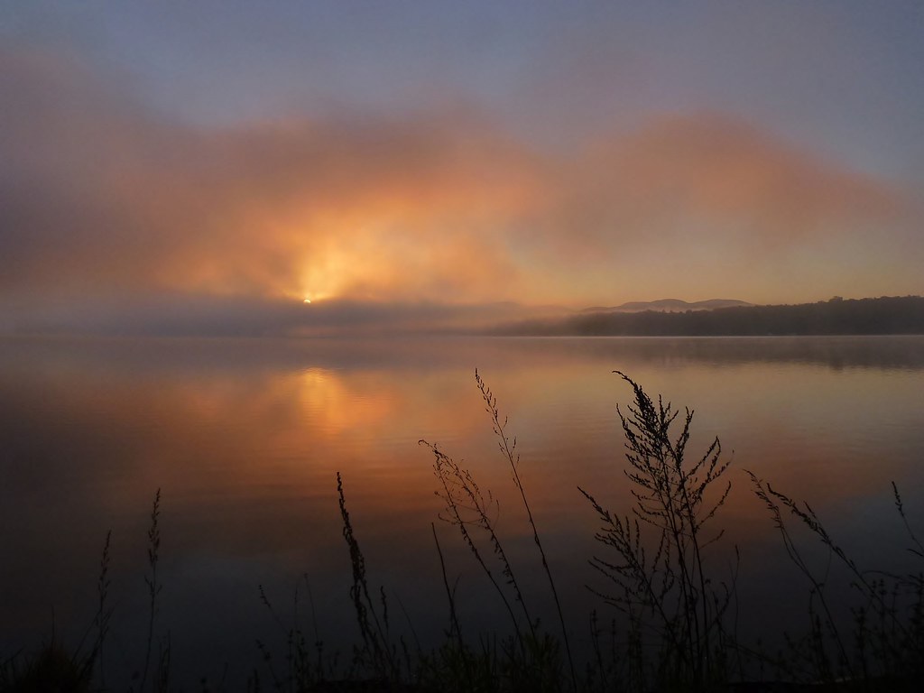
Fall Mist on Lake Bomoseen
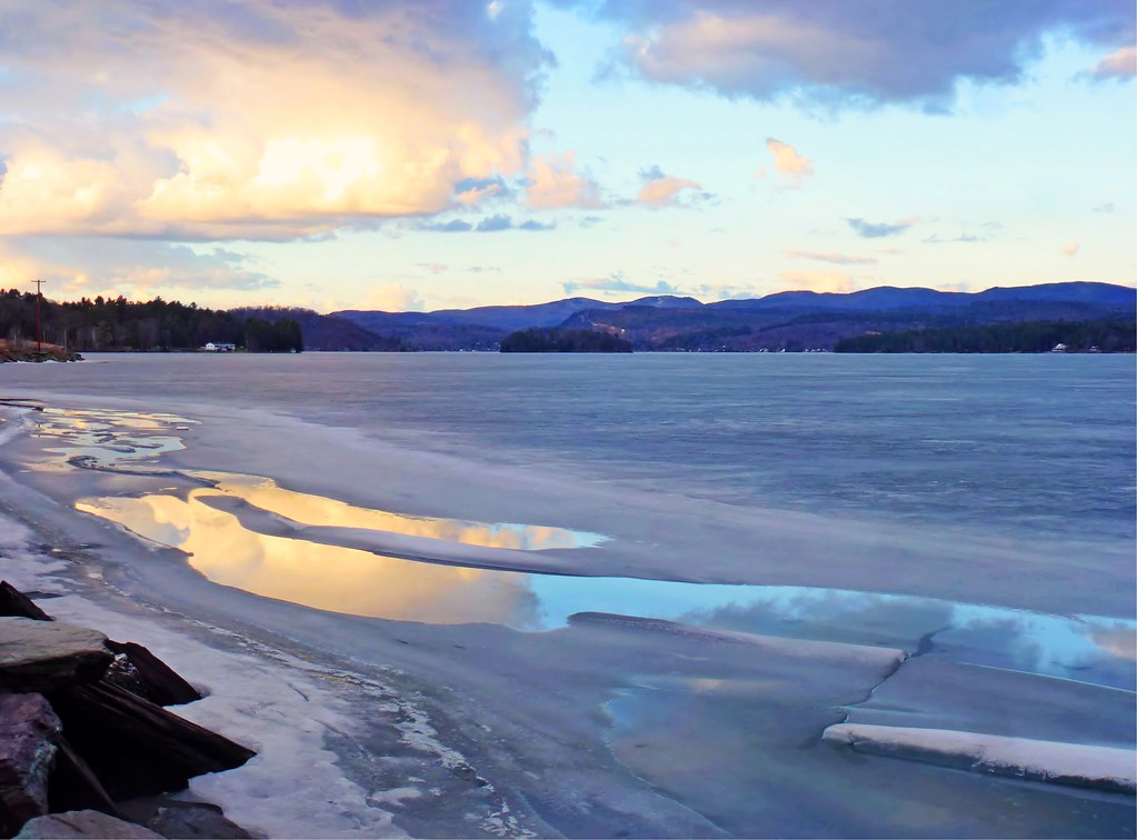
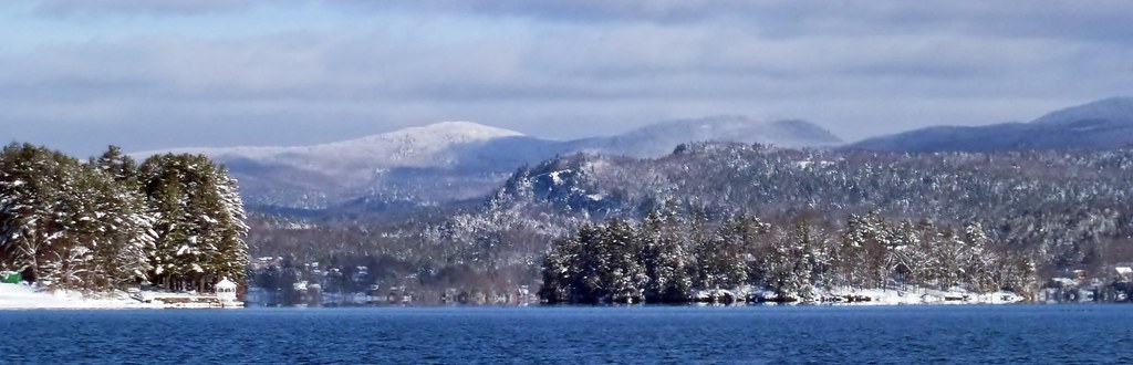
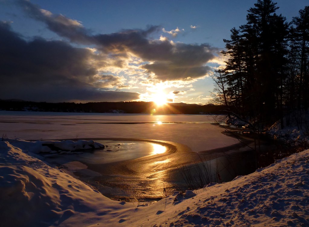
Winter View
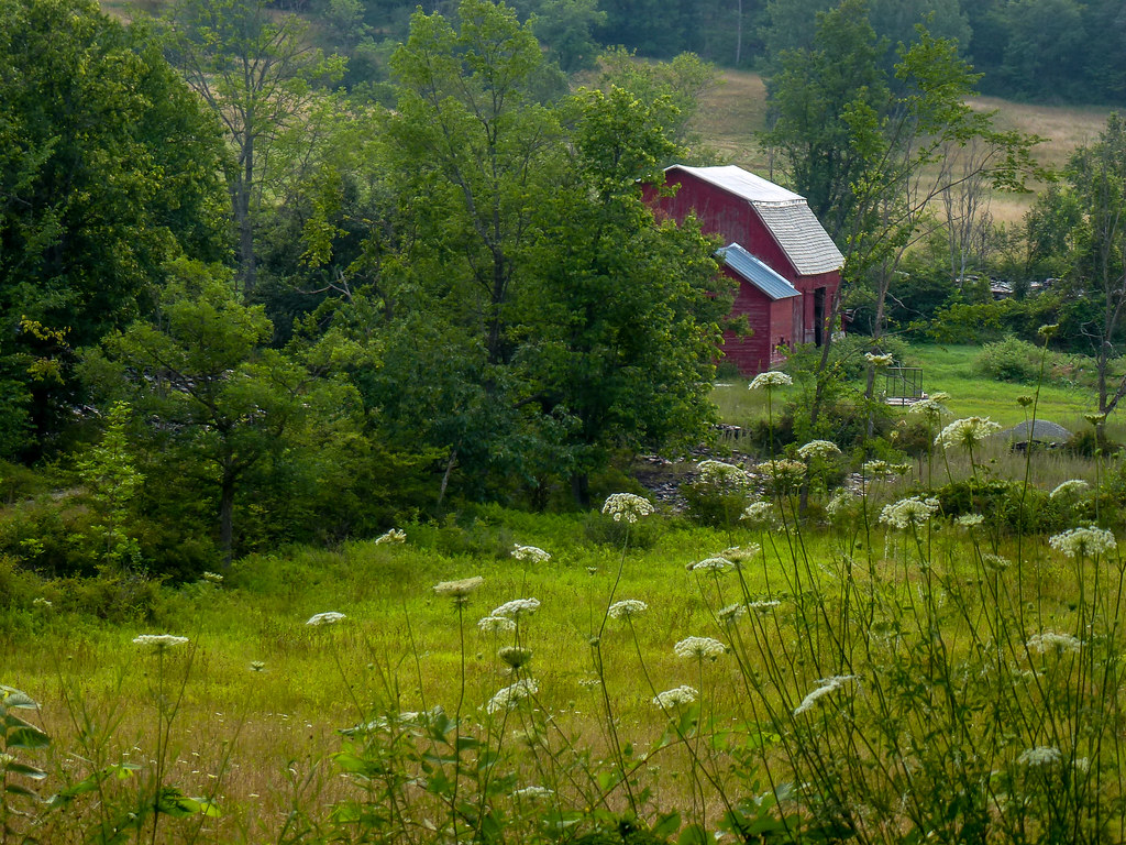
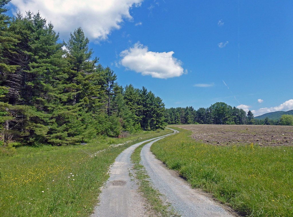
Barn Across The Field
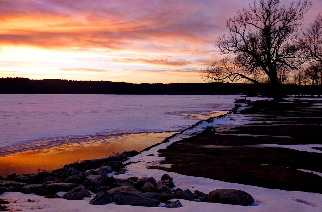
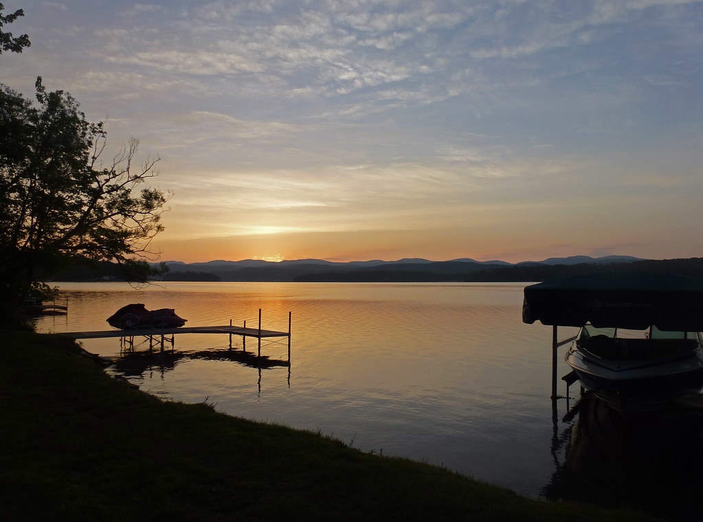
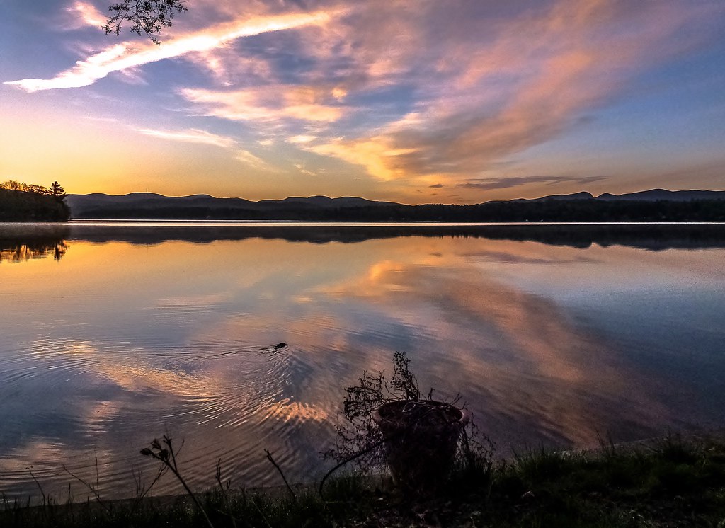
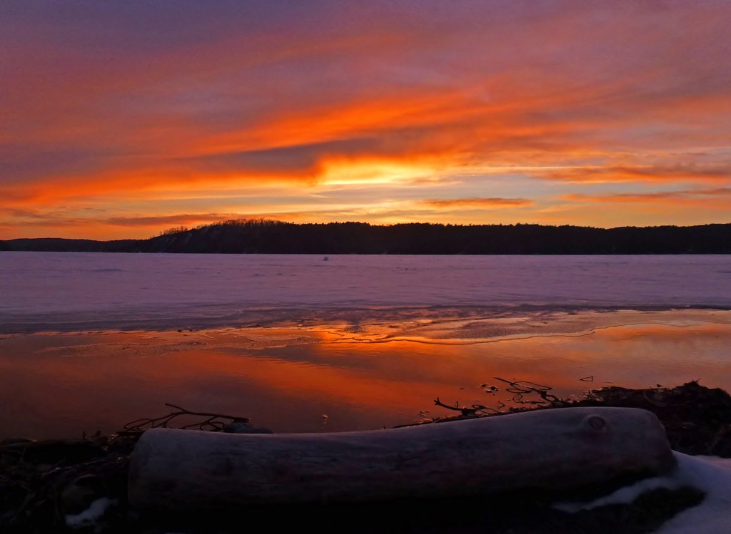
Lakeside Sunset
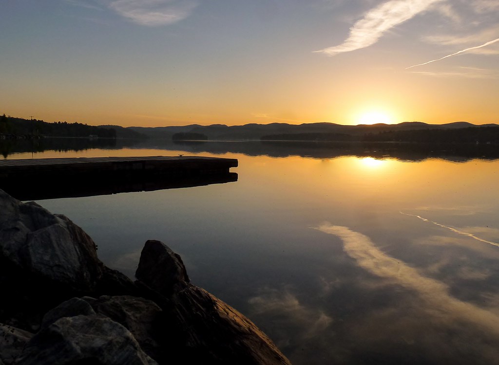
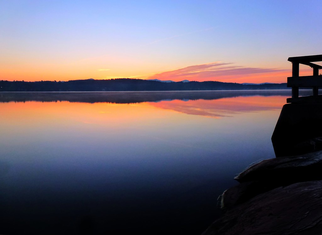
Spring Sunrise By The Docks - Explored 4/9/13

Sunrise by the West Side

Closer View [Explored 8.15.2012]

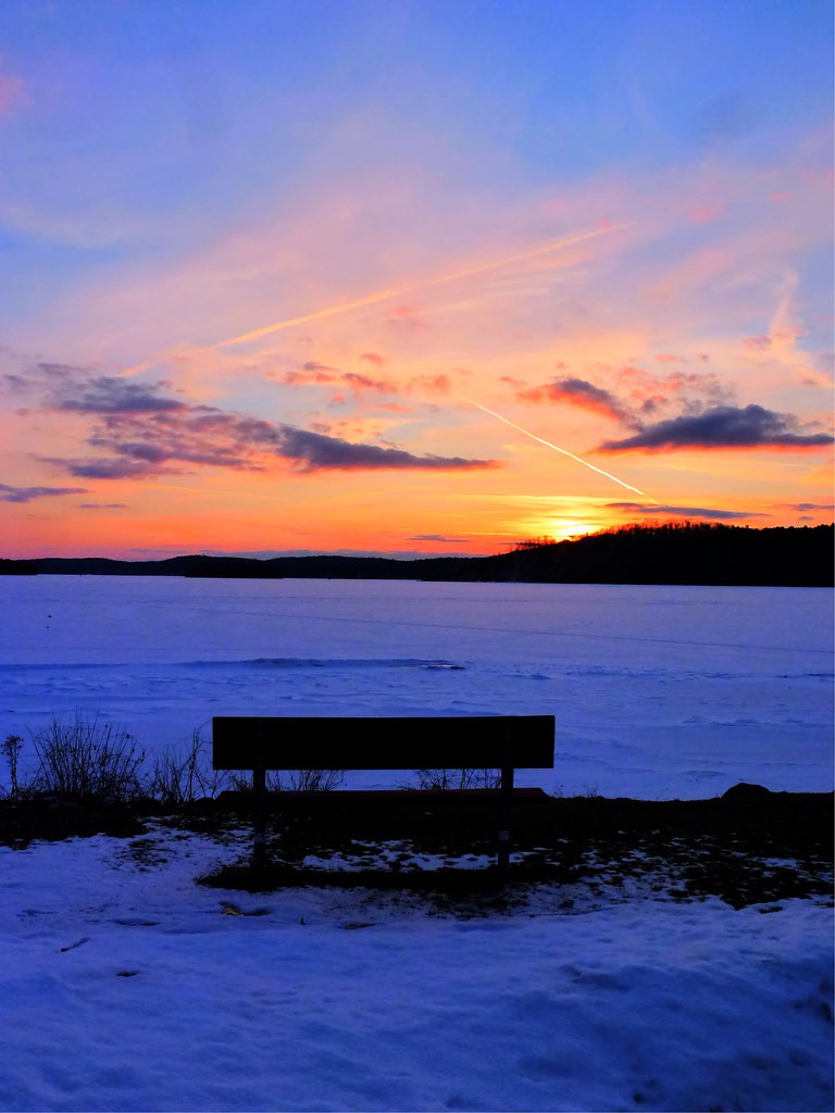
Bench View At Sunset
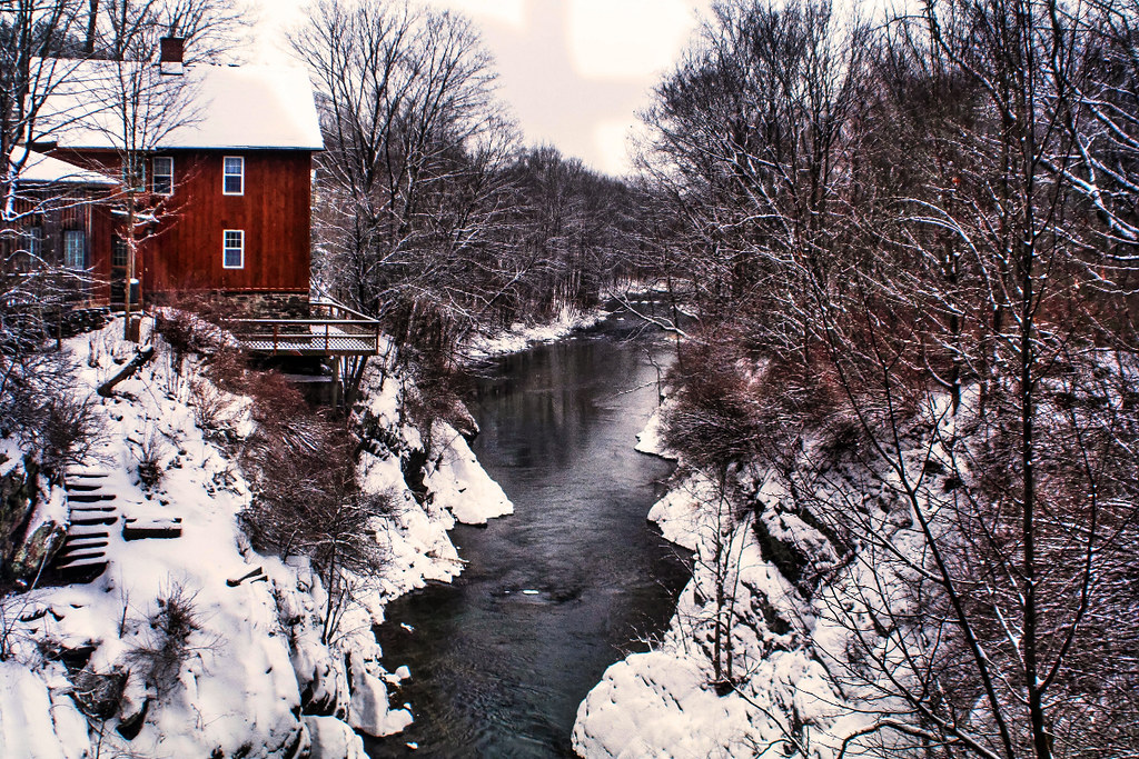
By The River

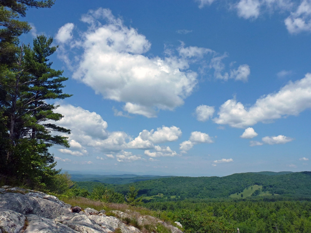
Mountain View
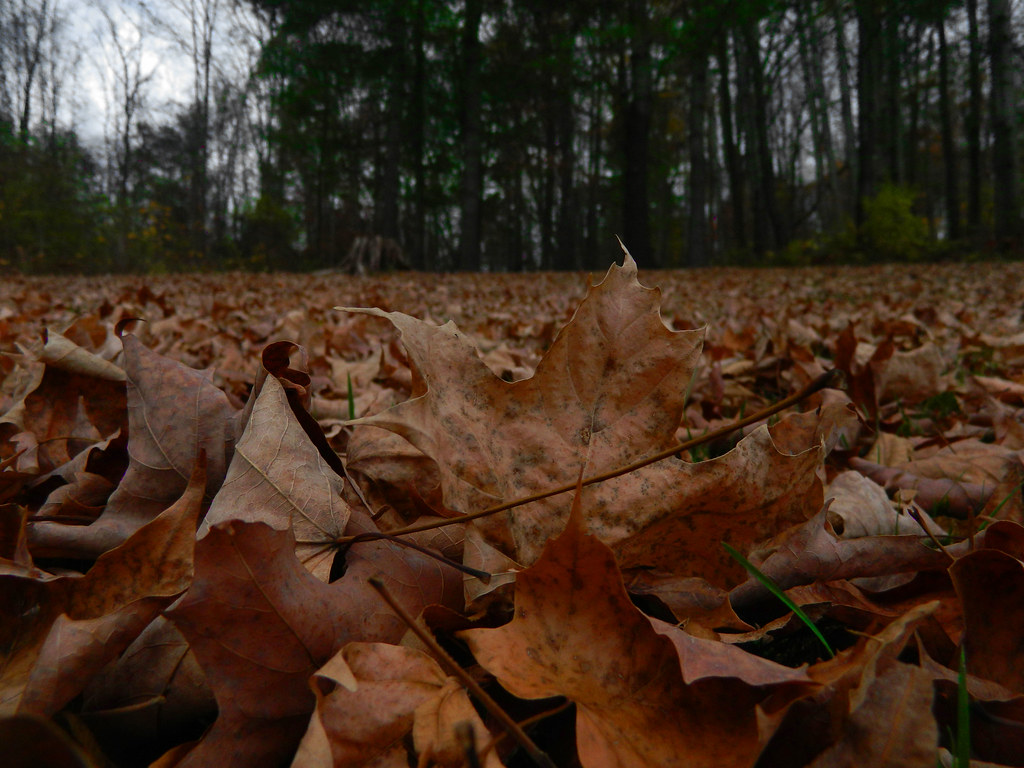
Worms Eye View leaves
Big Sky
Long View III
Side View

NREX B23-7 #4211 crosses Rte #4 in Rutland, VT.

bird's eye view
Finally at the Lake

Painting a Barn
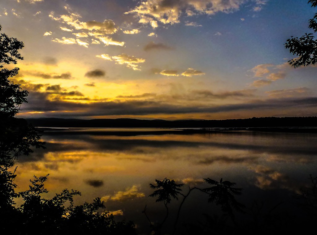
Cloud Reflections...

Sunrise By the Dock [Explored 8/8/2012]
Dockside Sunrise - Explored 12/21/12
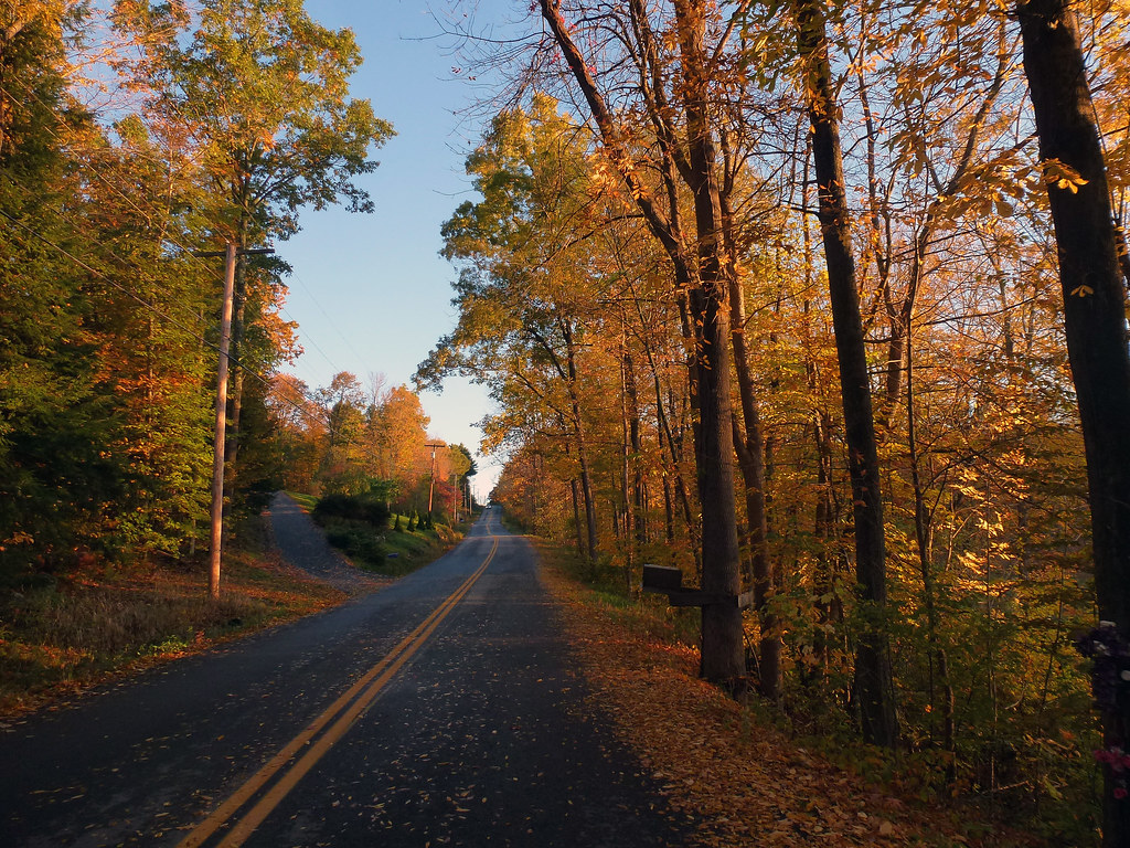
Roadside Foliage - Explored 10/19/2012

Lone Fisherman On Lake Champlain
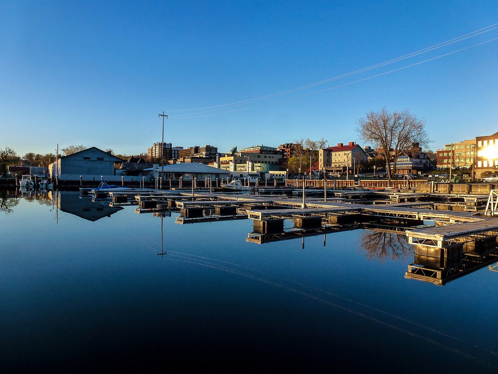
Along The Channel
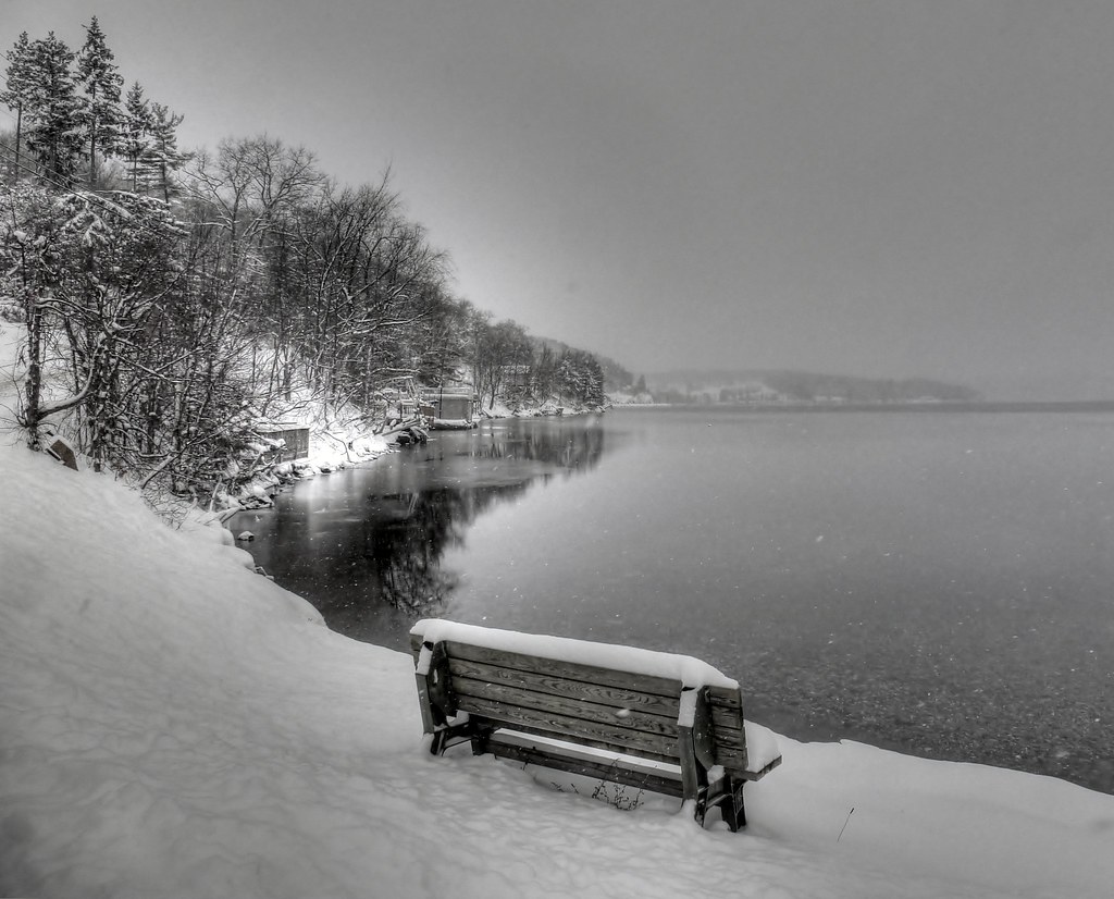
Welcome To Winter
All Is Calm......(and Explored)

Walking to Mt Zion - Explored

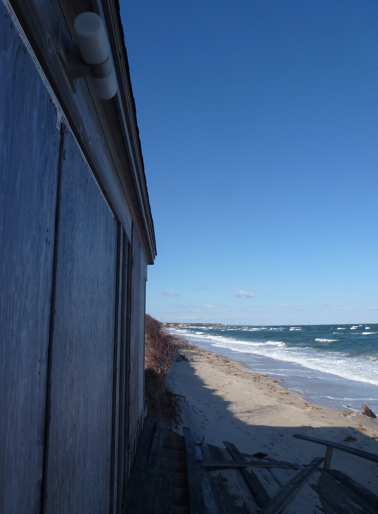
High Tide On The Sound...
West Sunrise Silhouette

Along The Banks
Morning Glory
The Path to Mt. Zion
Sun Parted The Winter Path
The Beaver - Explored - 5/11/2013
Sunset Melting
Let The Light Shine - Explored 12/26/2012
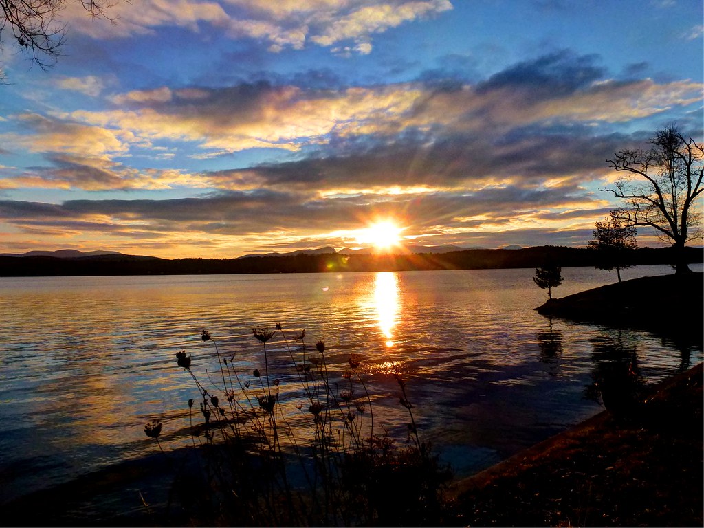
Dawn's First Light
Topographic Map of West Rutland, VT, USA
Find elevation by address:

Places in West Rutland, VT, USA:
Places near West Rutland, VT, USA:
West Rutland
338 Scotts Rd
Boardman Hill
3928 Walker Mountain Rd
49 Hammond Ln
Bird Mountain
56 Us-4
Rutland
Alderman's Chevrolet Buick Gmc
North Clarendon
4 Billings Mobile Manor
Clarendon
300 North St
401 Innovation Drive
Rutland Southern Vermont Regional Airport
130 Dudley Rd
Airport Rd, North Clarendon, VT, USA
1515 Airport Rd
Middletown Springs
North End Drive
Recent Searches:
- Elevation of Window Rock, Colfax County, New Mexico, 87714, USA
- Elevation of 4807, Rosecroft Street, Kempsville Gardens, Virginia Beach, Virginia, 23464, USA
- Elevation map of Matawinie, Quebec, Canada
- Elevation of Sainte-Émélie-de-l'Énergie, Matawinie, Quebec, Canada
- Elevation of Rue du Pont, Sainte-Émélie-de-l'Énergie, Matawinie, Quebec, J0K2K0, Canada
- Elevation of 8, Rue de Bécancour, Blainville, Thérèse-De Blainville, Quebec, J7B1N2, Canada
- Elevation of Wilmot Court North, 163, University Avenue West, Northdale, Waterloo, Region of Waterloo, Ontario, N2L6B6, Canada
- Elevation map of Panamá Province, Panama
- Elevation of Balboa, Panamá Province, Panama
- Elevation of San Miguel, Balboa, Panamá Province, Panama
- Elevation of Isla Gibraleón, San Miguel, Balboa, Panamá Province, Panama
- Elevation of 4655, Krischke Road, Schulenburg, Fayette County, Texas, 78956, USA
- Elevation of Carnegie Avenue, Downtown Cleveland, Cleveland, Cuyahoga County, Ohio, 44115, USA
- Elevation of Walhonding, Coshocton County, Ohio, USA
- Elevation of Clifton Down, Clifton, Bristol, City of Bristol, England, BS8 3HU, United Kingdom
- Elevation map of Auvergne-Rhône-Alpes, France
- Elevation map of Upper Savoy, Auvergne-Rhône-Alpes, France
- Elevation of Chamonix-Mont-Blanc, Upper Savoy, Auvergne-Rhône-Alpes, France
- Elevation of 908, Northwood Drive, Bridge Field, Chesapeake, Virginia, 23322, USA
- Elevation map of Nagano Prefecture, Japan