Elevation of West Point, VA, USA
Location: United States > Virginia > King William County >
Longitude: -76.941260
Latitude: 37.6095212
Elevation: 42m / 138feet
Barometric Pressure: 101KPa
Elevation Map:
Satellite Map:
Related Photos:
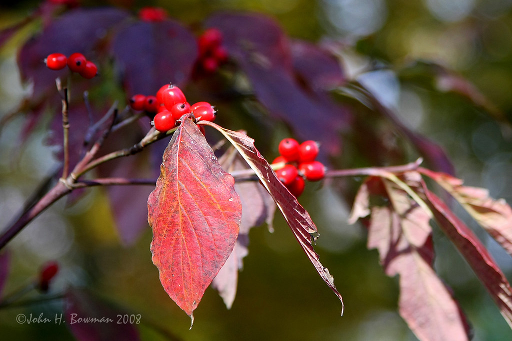
Dogwood HBW

Saude Creek Vineyards

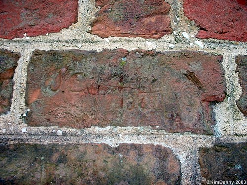
Satanic Mills?
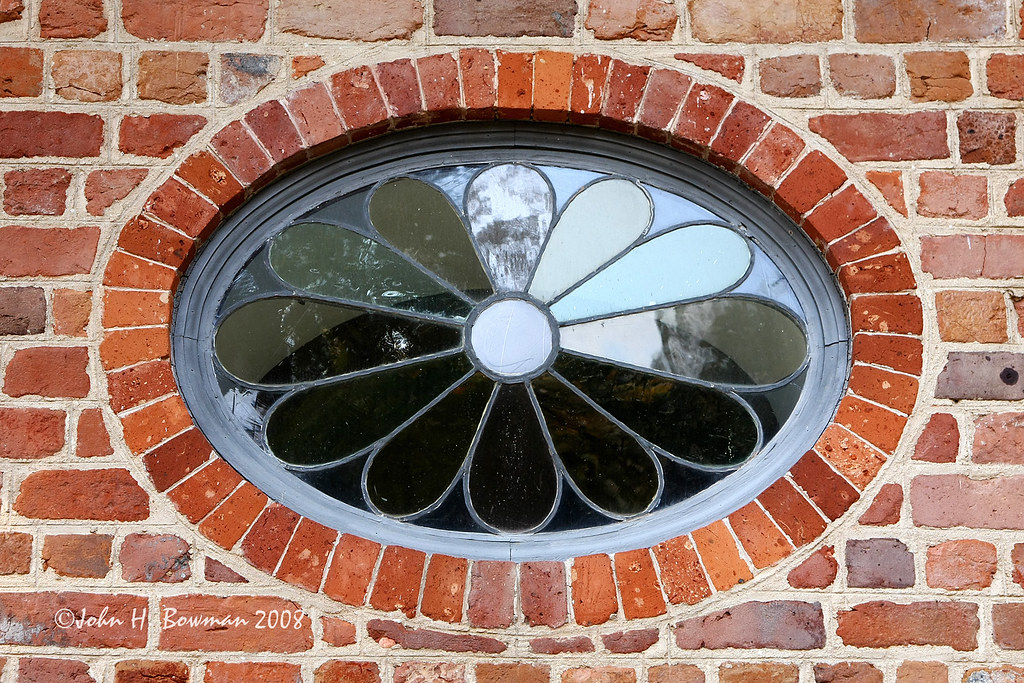
St. Peter's Church - oval/floral window
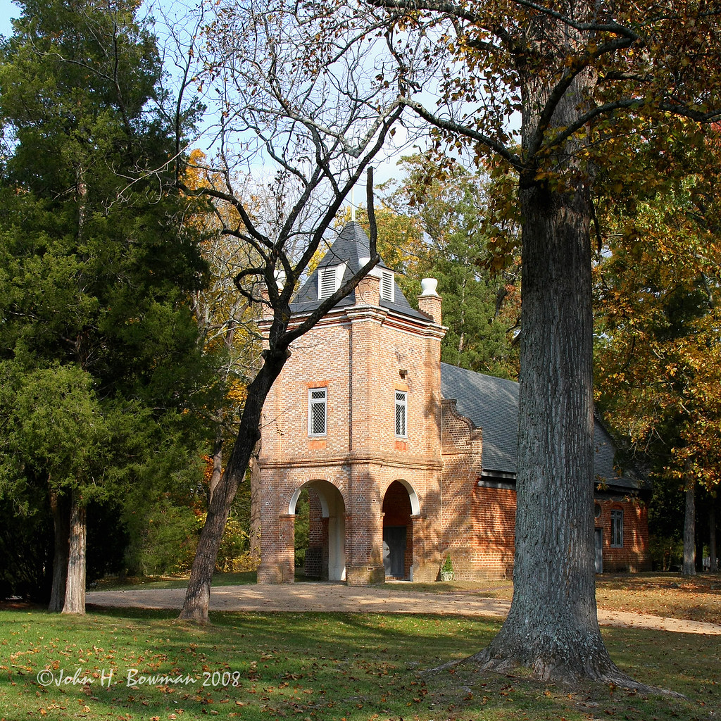
St. Peter's Church - alternate perspective
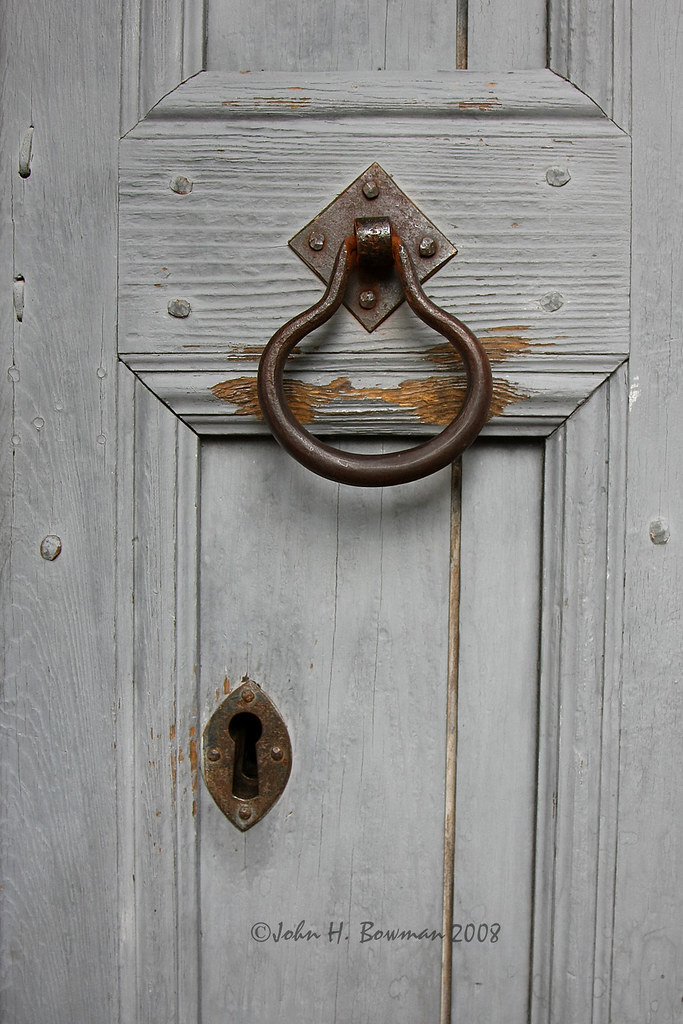
St. Peter's Church - door detail
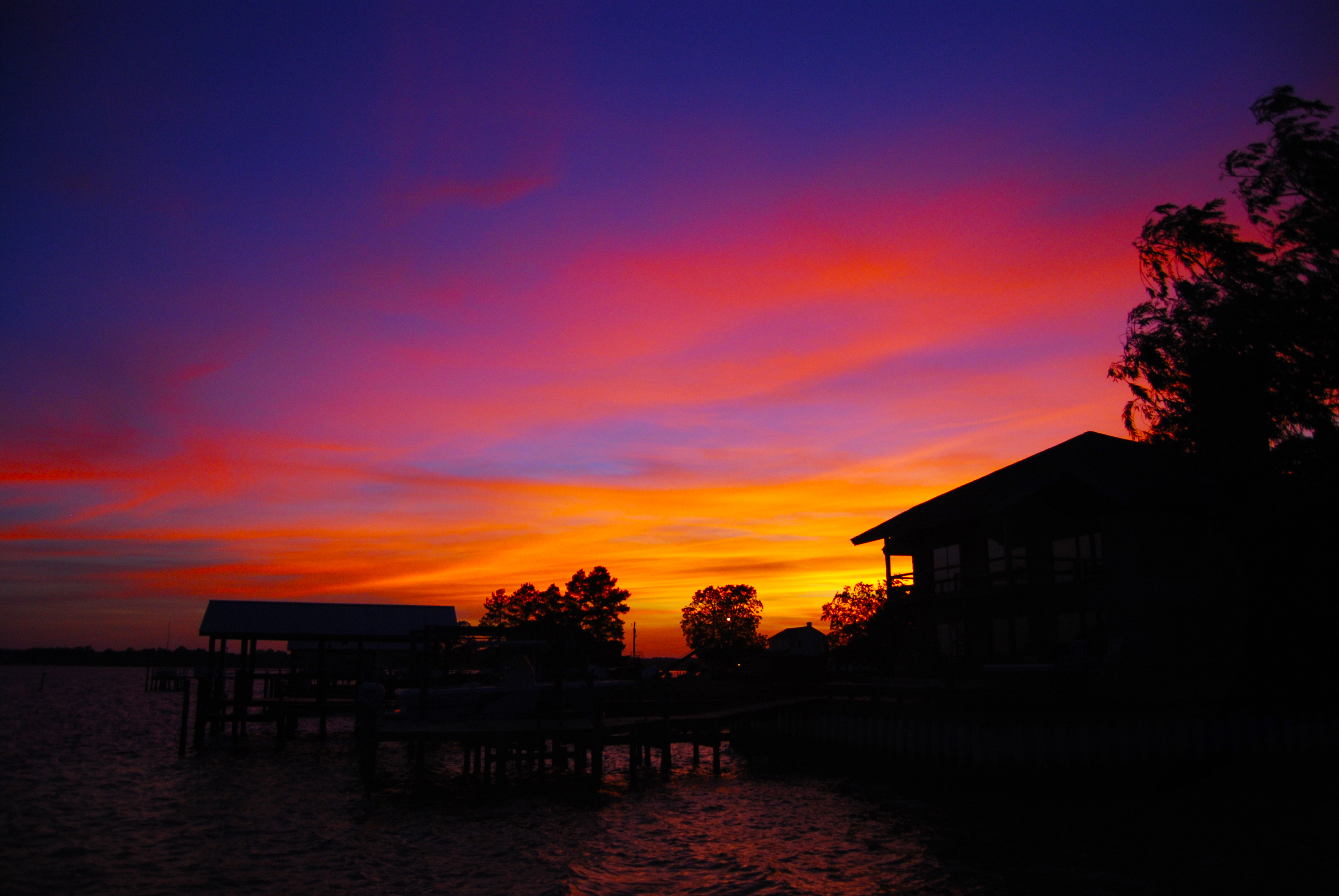
Sunset II
Reflected view
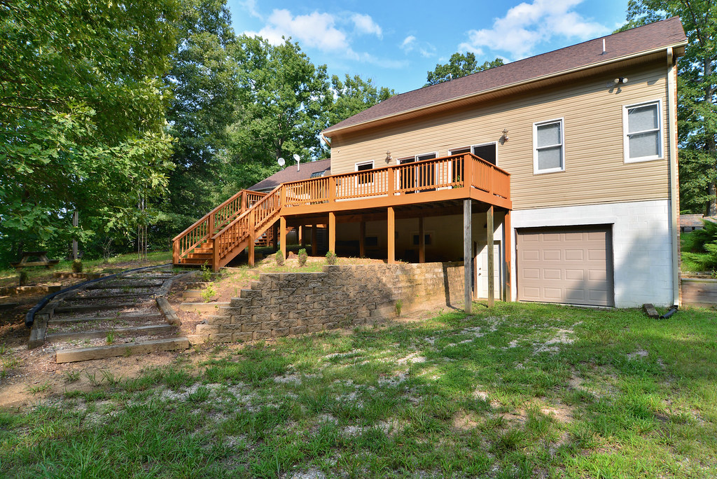
rear view
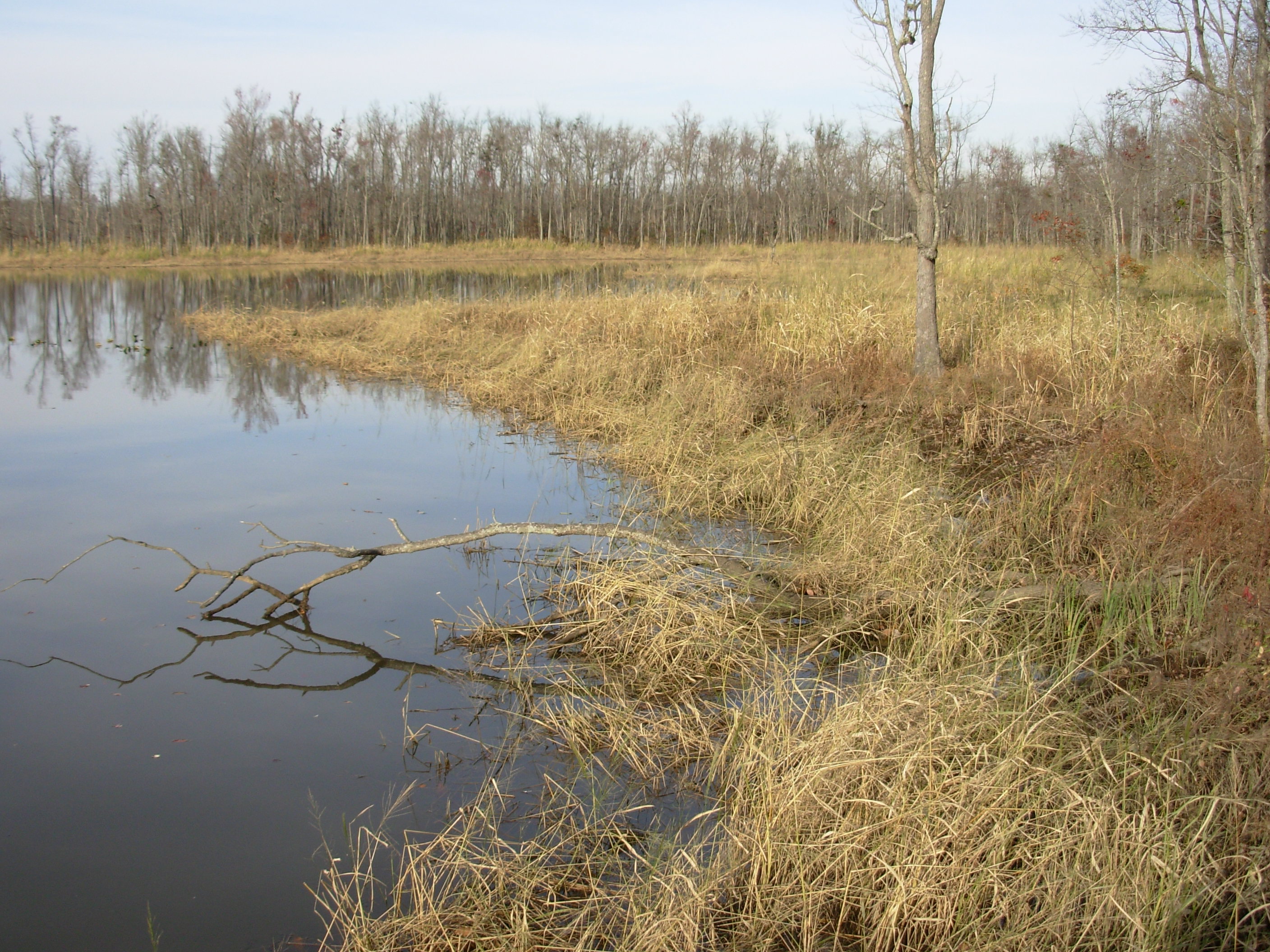
Cumberland Marsh View New Kent VA
Saude Creek Vineyards
Porch view

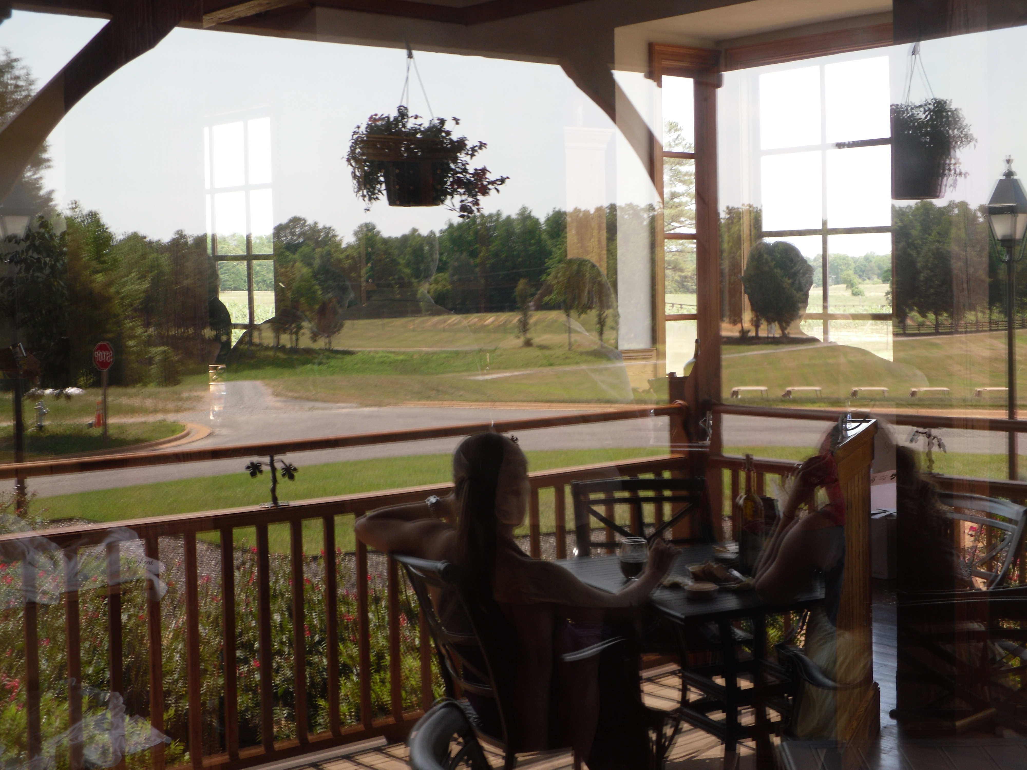
View from the balcony
Behind the Scenes

River Reeds

*pounce*
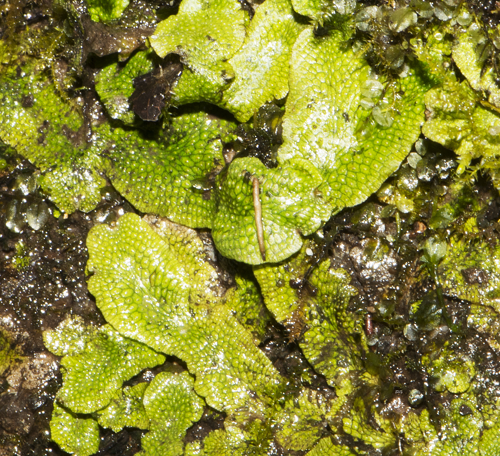
Liverwort Conocephalum conicum_3548
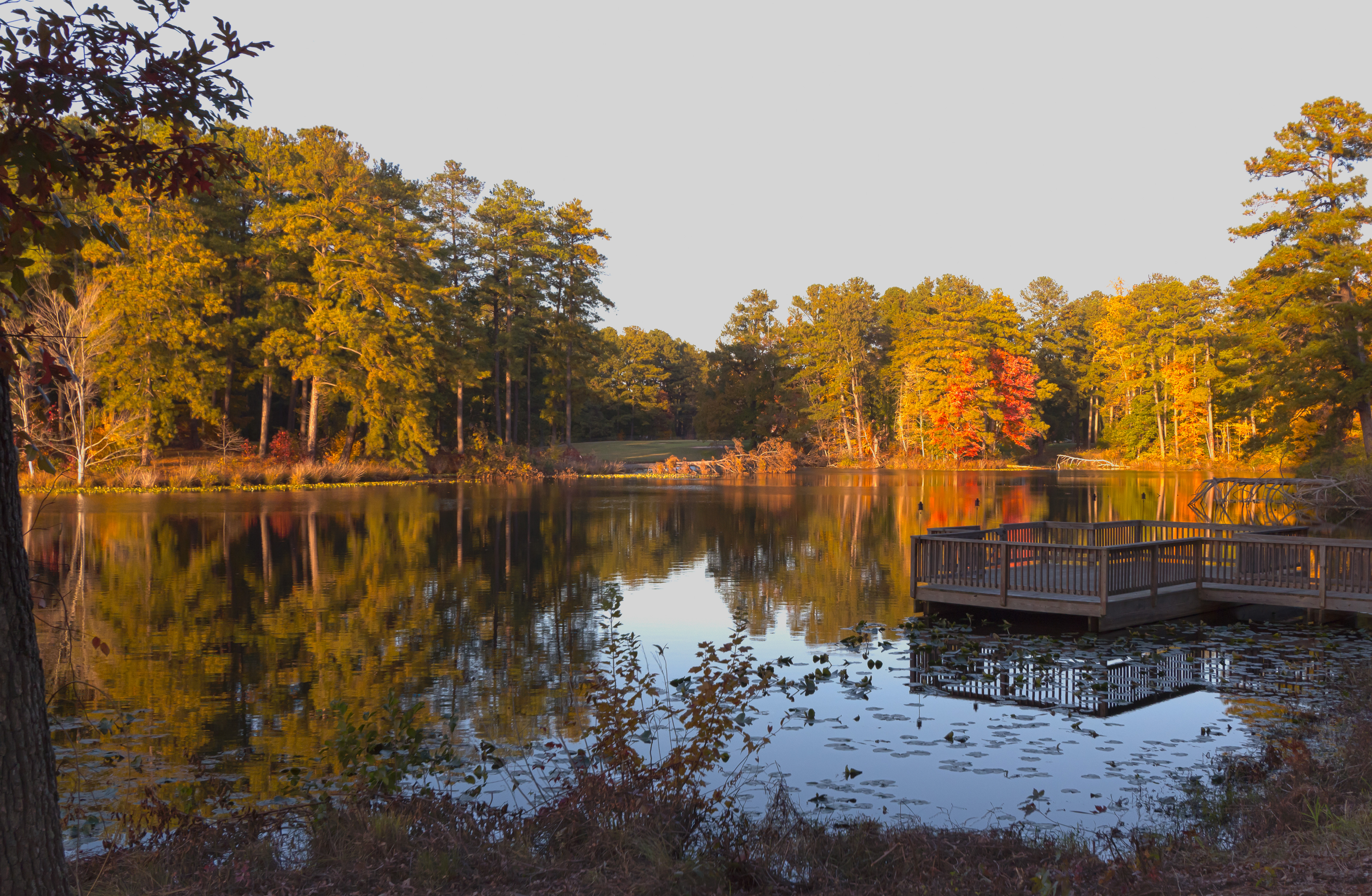
sunset on Olsson's pond1

Great Blue Skimmer Libellula vibrans pamunky bird trail_0001
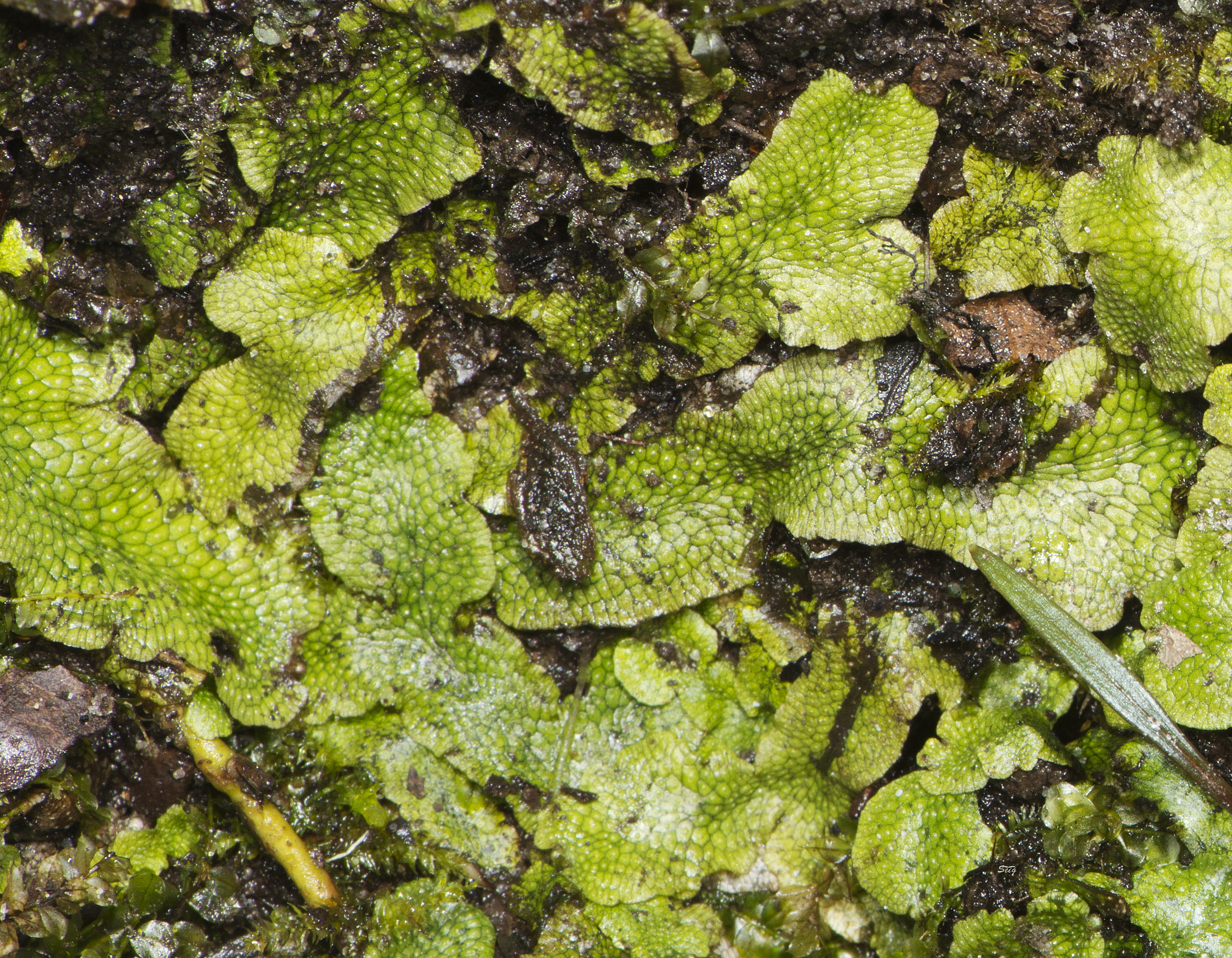
Liverwort Conocephalum conicum_3554
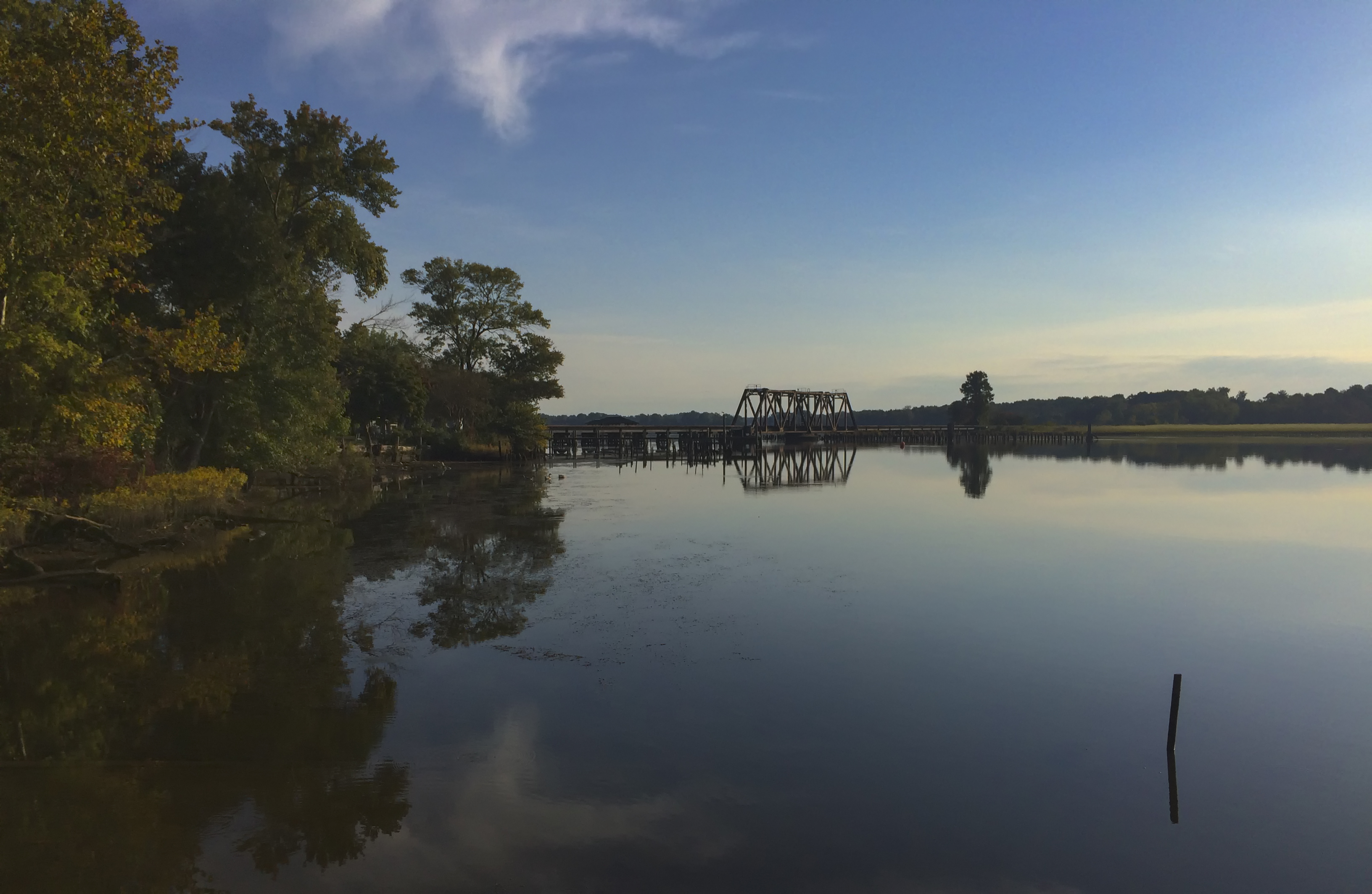
Pumunkey River

White-eyed Vireo
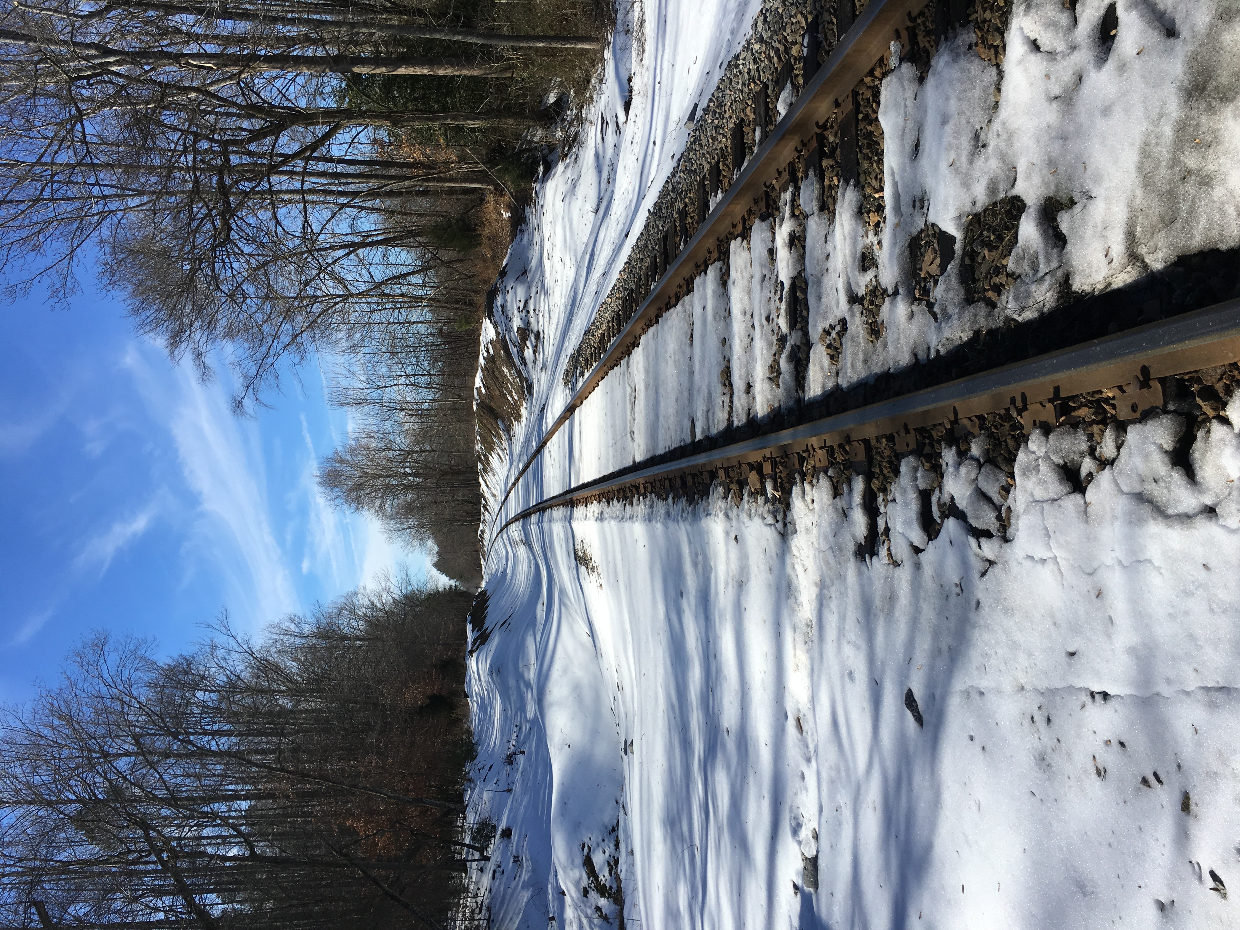
The big meltdown.

Struggle...hehe
St Peter's Church, New Kent, Virginia

There it is...
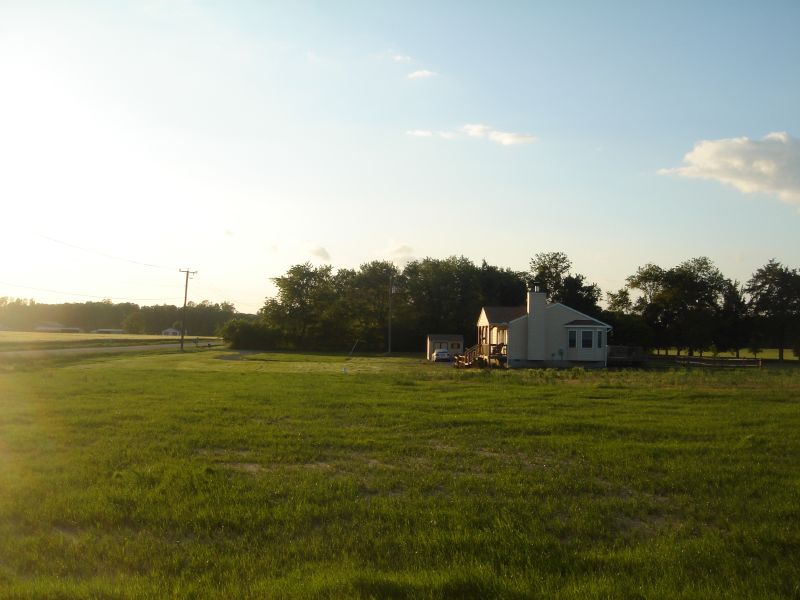
32221 King William Hwy, West Point, Va.
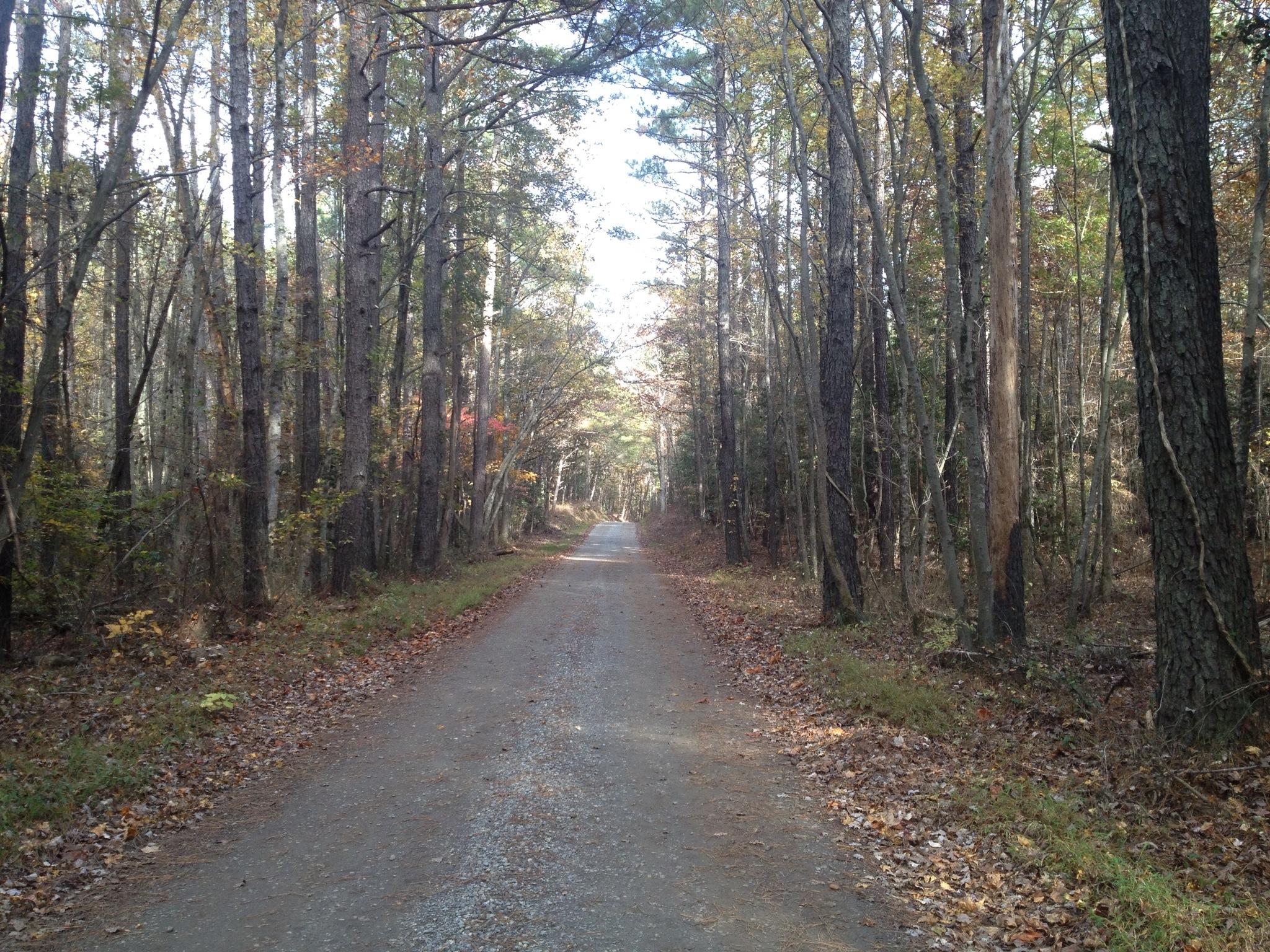
Truheart Road
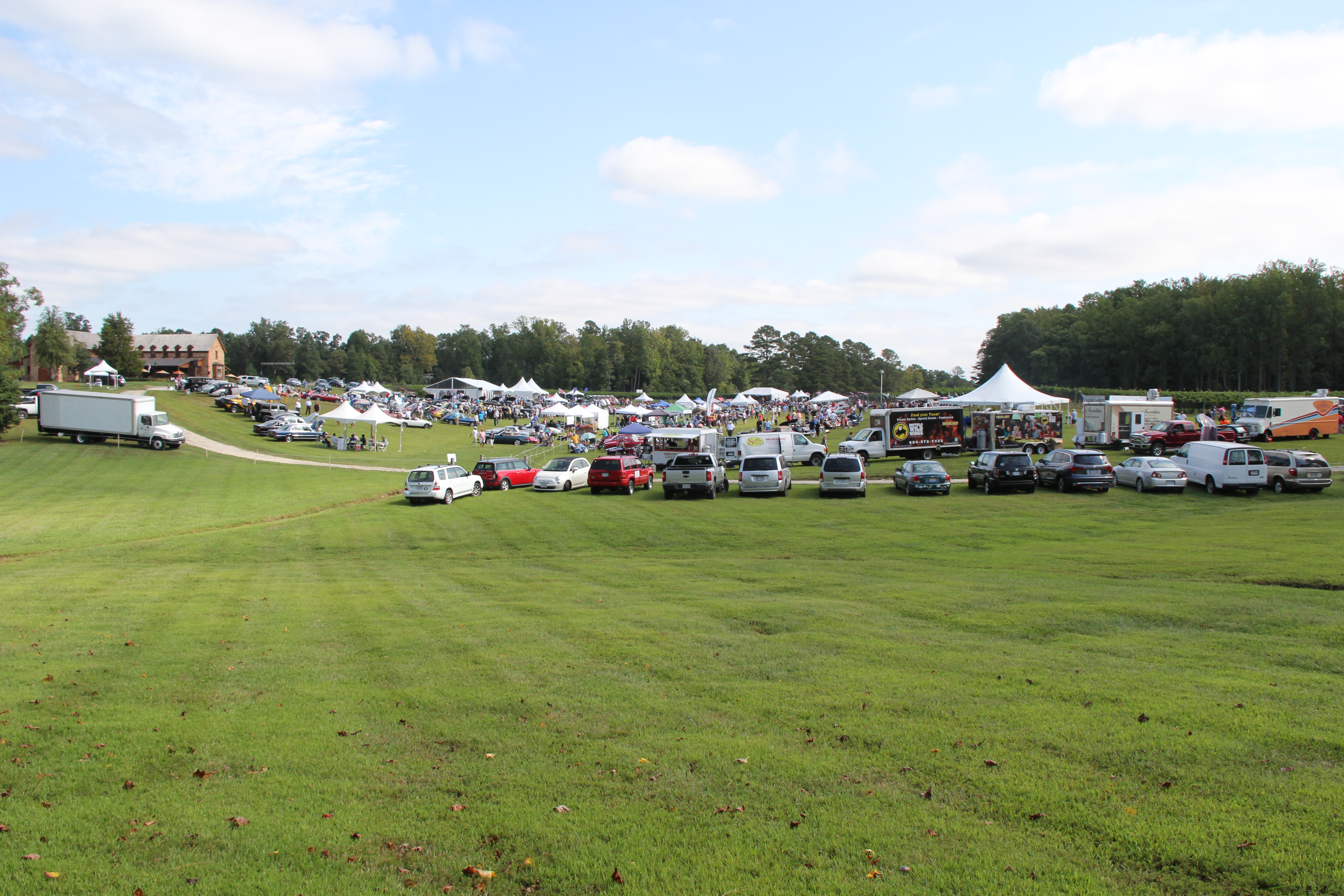
Classics on the Green
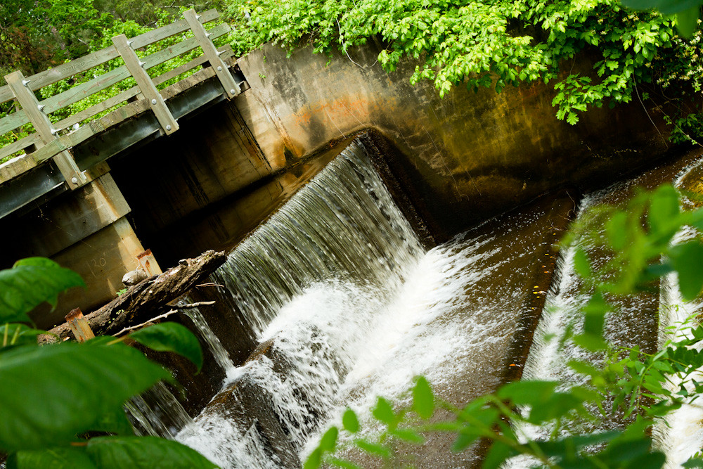
Spillway in Walkerton Va.
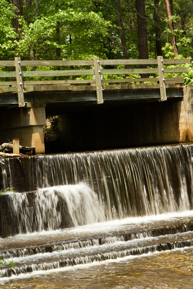
Spillway in Walkerton Va.
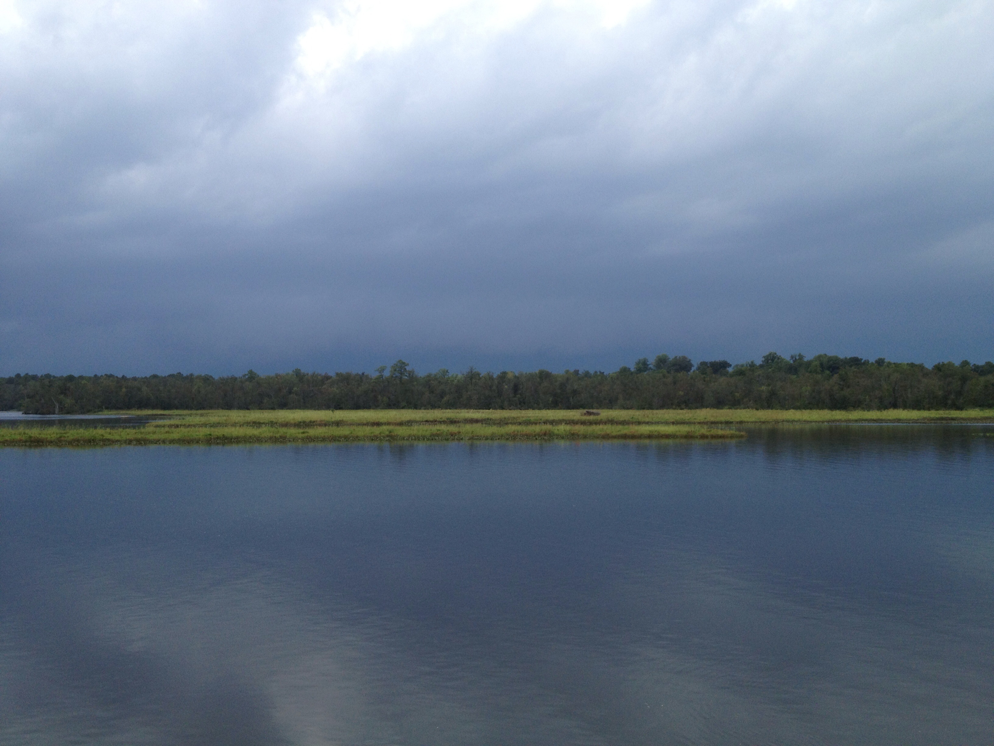
This storm is doing more than just threatening...
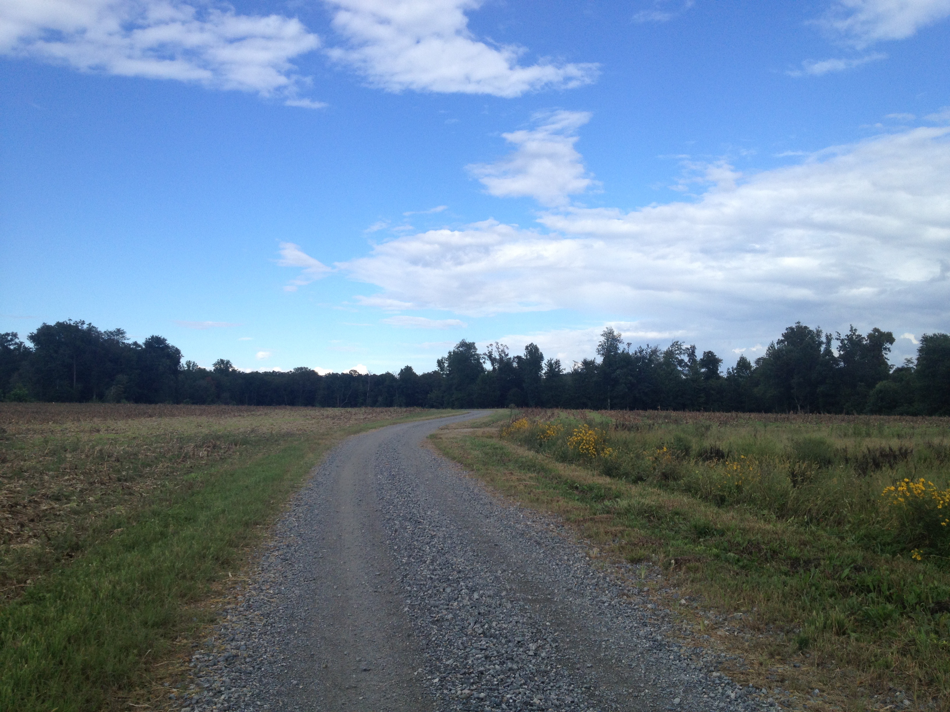
another week passes...Duck Pond Road...
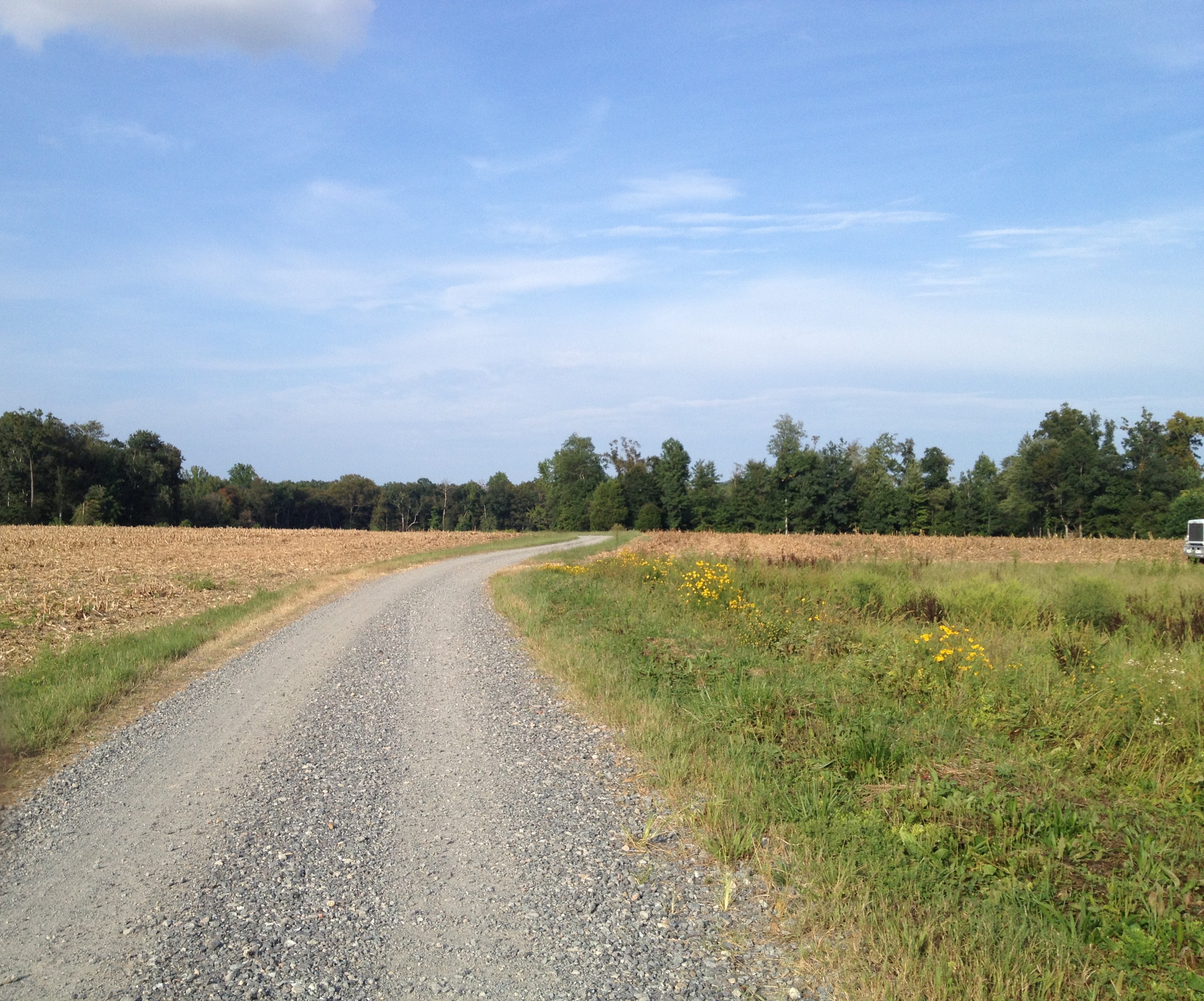
Duck Pond Road...another week gone...as is the corn...

Duck Pond Road a week later...they are picking the corn..,
Topographic Map of West Point, VA, USA
Find elevation by address:

Places in West Point, VA, USA:
Places near West Point, VA, USA:
Mt Olive Cohoke Rd, King William, VA, USA
Powhatan Trail, King William, VA, USA
Pierce Lane
Riverview Rd, West Point, VA, USA
New Kent
237 Moorefield Rd
11931 Bassett Farm Road
515 Moorefield Rd
1365 Chelsea Rd
1262 Moorefield Rd
1265 Moorefield Rd
14800 Stage Rd
340 Euclid Blvd
17320 New Kent Hwy
New Kent County
2624 C St
2835 Mattaponi Ave
1901 Main St
1226 Main St
522 11th St
Recent Searches:
- Elevation of Corso Fratelli Cairoli, 35, Macerata MC, Italy
- Elevation of Tallevast Rd, Sarasota, FL, USA
- Elevation of 4th St E, Sonoma, CA, USA
- Elevation of Black Hollow Rd, Pennsdale, PA, USA
- Elevation of Oakland Ave, Williamsport, PA, USA
- Elevation of Pedrógão Grande, Portugal
- Elevation of Klee Dr, Martinsburg, WV, USA
- Elevation of Via Roma, Pieranica CR, Italy
- Elevation of Tavkvetili Mountain, Georgia
- Elevation of Hartfords Bluff Cir, Mt Pleasant, SC, USA