Elevation of West Point, MS, USA
Location: United States > Mississippi > Clay County >
Longitude: -88.650325
Latitude: 33.6076186
Elevation: 71m / 233feet
Barometric Pressure: 100KPa
Elevation Map:
Satellite Map:
Related Photos:

Reflections in the Fog
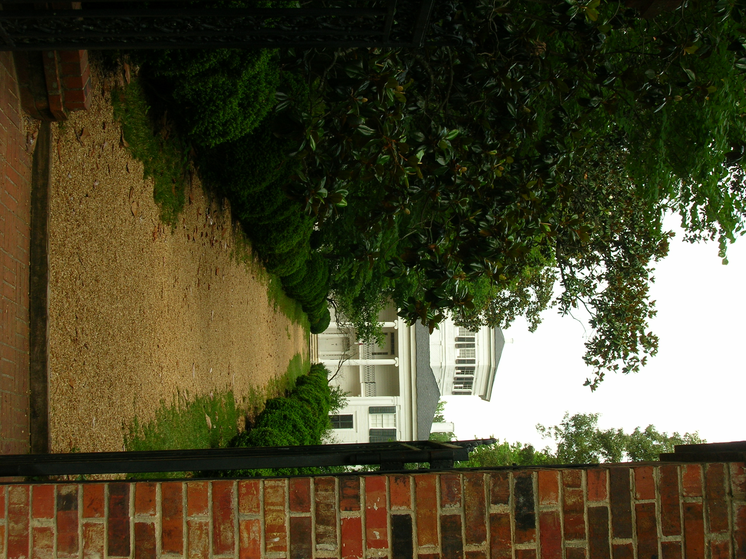
Waverly Plantation
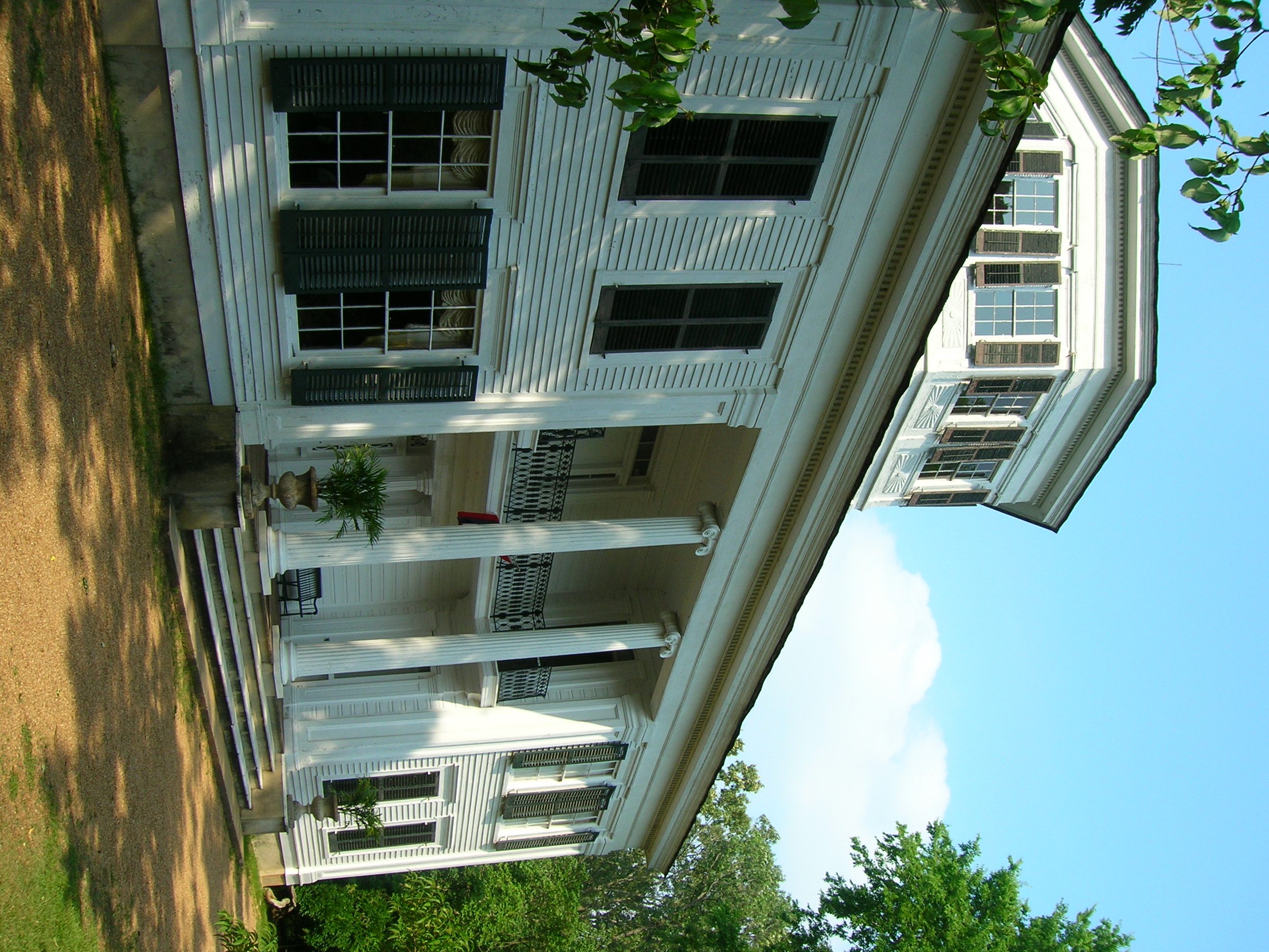
Side View, Waverly Plantation

TibbeeCrkFallD90-043151
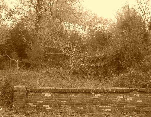
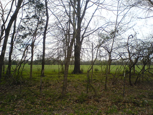
Closely Forgotten
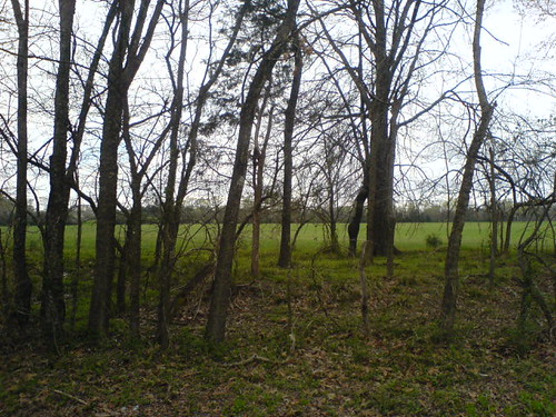
Grass Looks Greener
Grass Might Be Greener
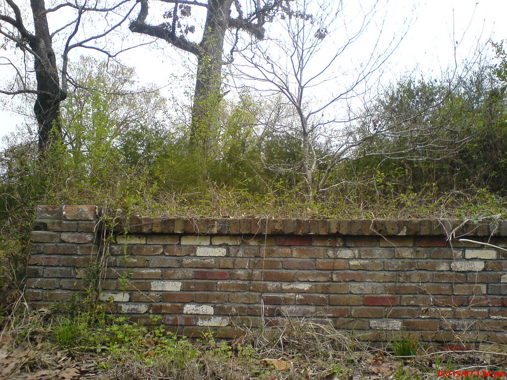
Forgotten Once
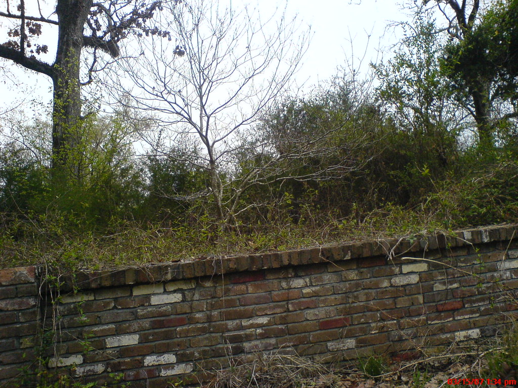
Forgotten Twice

I love nature landscape panoramas so much.

007a Deep South
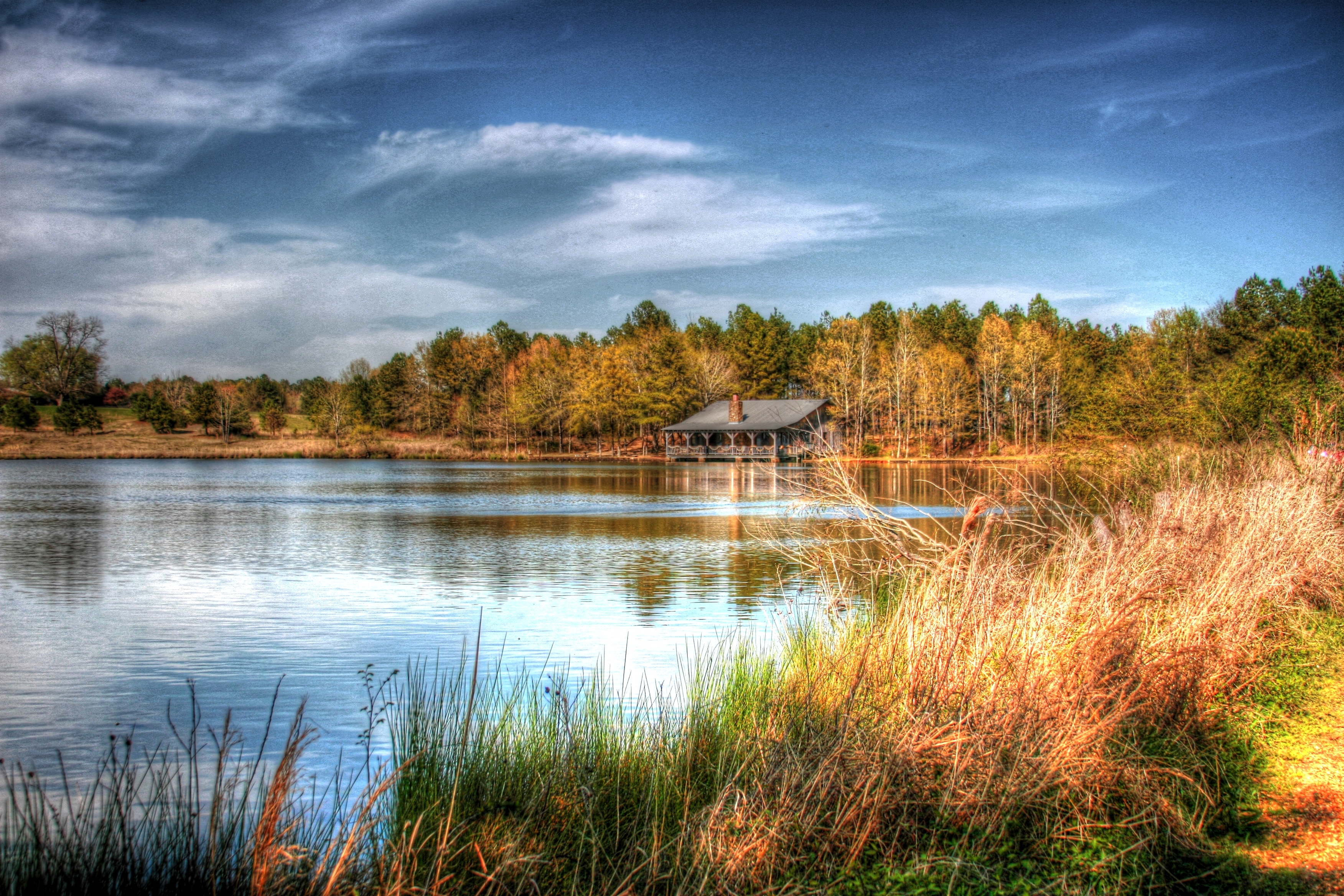
Waverly Waters

The woods are lovely dark and deep

Waverly Plantation 178-001lth

Cemetery on Waverly Mansion Road 232-001lth
Topographic Map of West Point, MS, USA
Find elevation by address:

Places in West Point, MS, USA:
Places near West Point, MS, USA:
Yokohama Tire Manufacturing Mississippi, Llc.
Rockhill Rd, Starkville, MS, USA
Mhoon Valley Rd, West Point, MS, USA
Golden Triangle
Pat Station Rd, Starkville, MS, USA
Clay County
Cedarbluff
Copperfield Ct, Starkville, MS, USA
1543 Blair Rd
211 Edgewood Dr
Mississippi State University
Mississippi State University
Lummus Drive
Sun Creek Rd, Starkville, MS, USA
208 Apache Dr
132 Cherokee Dr
64 Hillbrook St, Starkville, MS, USA
300 E Lampkin St
Starkville, MS, USA
110 W Main St
Recent Searches:
- Elevation of Corso Fratelli Cairoli, 35, Macerata MC, Italy
- Elevation of Tallevast Rd, Sarasota, FL, USA
- Elevation of 4th St E, Sonoma, CA, USA
- Elevation of Black Hollow Rd, Pennsdale, PA, USA
- Elevation of Oakland Ave, Williamsport, PA, USA
- Elevation of Pedrógão Grande, Portugal
- Elevation of Klee Dr, Martinsburg, WV, USA
- Elevation of Via Roma, Pieranica CR, Italy
- Elevation of Tavkvetili Mountain, Georgia
- Elevation of Hartfords Bluff Cir, Mt Pleasant, SC, USA