Elevation of West Peak, Washington, USA
Location: United States > Washington > Jefferson County >
Longitude: -123.34878
Latitude: 47.7228674
Elevation: 2178m / 7146feet
Barometric Pressure: 78KPa
Elevation Map:
Satellite Map:
Related Photos:
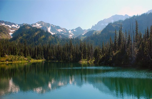
Motivating view
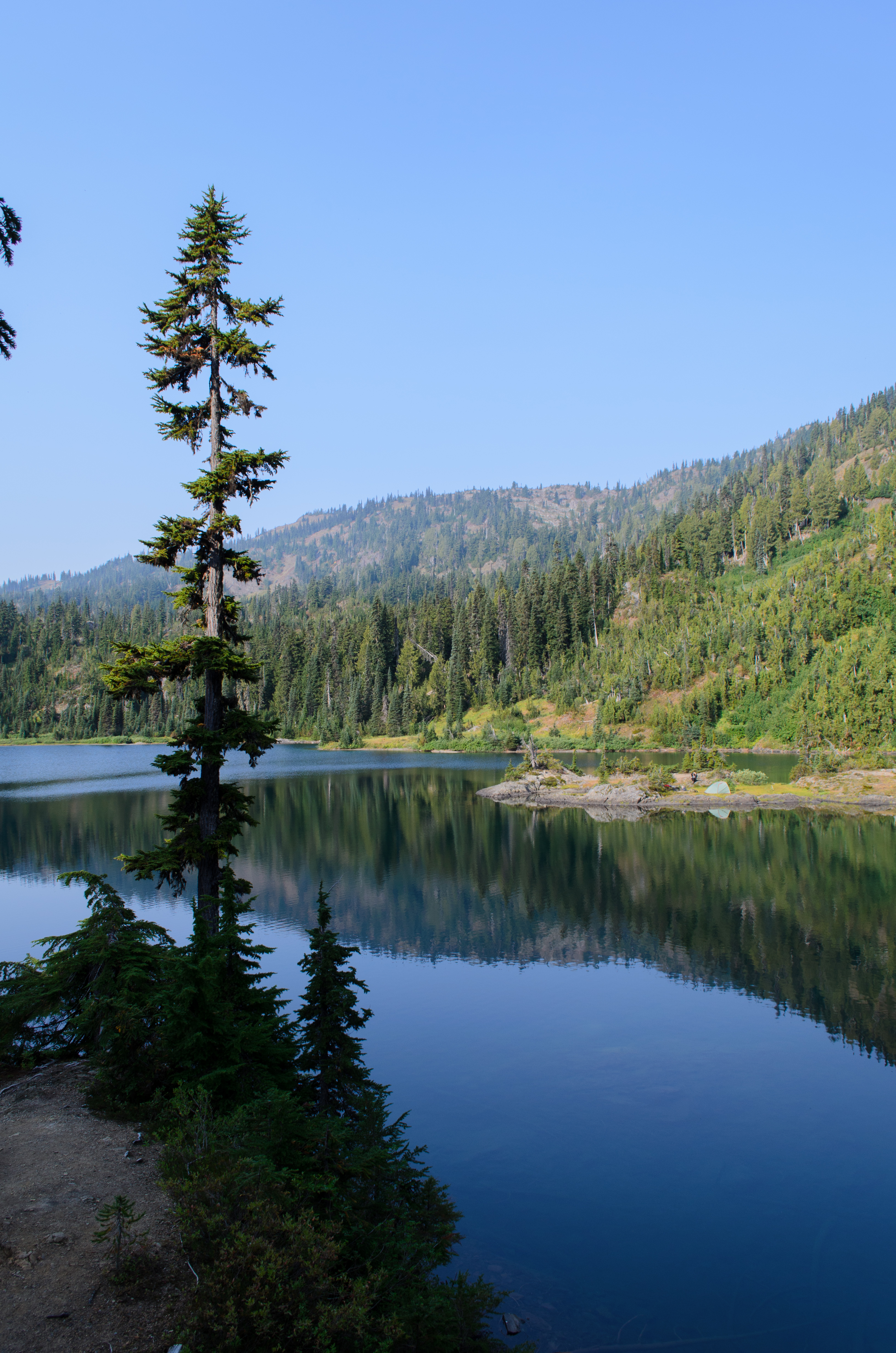
View across the lake
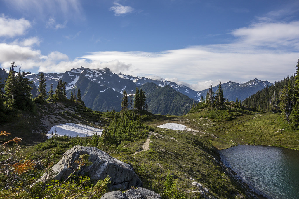
View from Martin's Lake
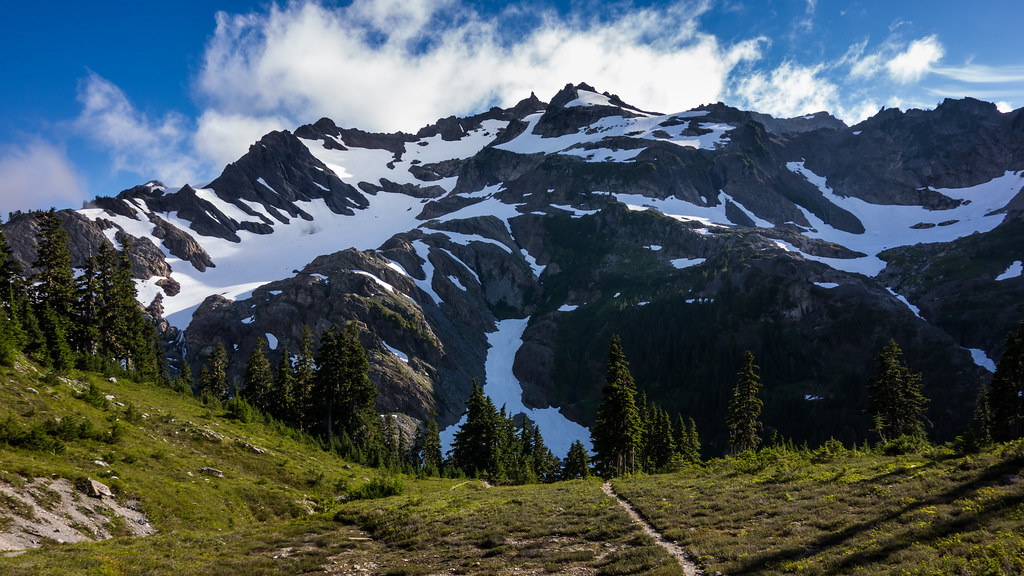
Mount Christie at Martin's Park

View Of The Elwha River Valley From Just Below The Low Divide

slide1-35
Topographic Map of West Peak, Washington, USA
Find elevation by address:

Places near West Peak, Washington, USA:
Jefferson County
Marmot Lake
Lena Lake
Lake Cushman
820 N Potlatch Dr
Olympic National Park
19 N Dow Mountain Dr
5901 N Lake Cushman Rd
5791 N Lake Cushman Rd
Brown Creek Campground
Duckabush Trail
91 N Fish Hook Pl
1781 Dow Mountain Rd
1111 Dow Mountain Rd
3701 Dow Mountain Rd
Cushman Dam
41 N Pinedrops Ln
250 N Duckabush Dr
30 W Hamma Hamma Dr
Mason County
Recent Searches:
- Elevation of Corso Fratelli Cairoli, 35, Macerata MC, Italy
- Elevation of Tallevast Rd, Sarasota, FL, USA
- Elevation of 4th St E, Sonoma, CA, USA
- Elevation of Black Hollow Rd, Pennsdale, PA, USA
- Elevation of Oakland Ave, Williamsport, PA, USA
- Elevation of Pedrógão Grande, Portugal
- Elevation of Klee Dr, Martinsburg, WV, USA
- Elevation of Via Roma, Pieranica CR, Italy
- Elevation of Tavkvetili Mountain, Georgia
- Elevation of Hartfords Bluff Cir, Mt Pleasant, SC, USA