Elevation of West Mountain, New Mexico, USA
Location: United States > New Mexico > Capitan >
Longitude: -105.48472
Latitude: 33.6361111
Elevation: 2669m / 8757feet
Barometric Pressure: 73KPa
Elevation Map:
Satellite Map:
Related Photos:
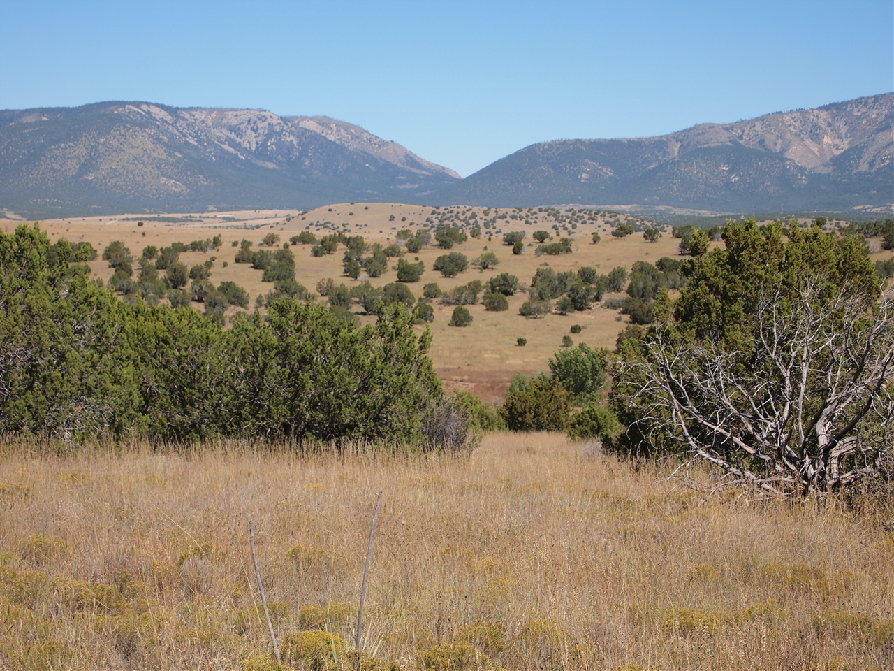
PA124837
Topographic Map of West Mountain, New Mexico, USA
Find elevation by address:

Places near West Mountain, New Mexico, USA:
Fort Lone Tree
County Road C001
Read Mesa
Capitan
S Nogal Ave & Us-380
East Carrizo Cone
Fort Stanton
Black Jack Pershing Rd, Fort Stanton, NM, USA
Tucson Mountain
700 Mt Capitan Rd
Goat Mountain
Winter Hawk Heights
Laughing Horse Trail
Patos Mountain
Vera Cruz Mountain
113 Pecos Ct
203 Antelope Trail
Golf Club At Rainmakers
Bean Patch Road
123 Cherry Creek Rd
Recent Searches:
- Elevation of Corso Fratelli Cairoli, 35, Macerata MC, Italy
- Elevation of Tallevast Rd, Sarasota, FL, USA
- Elevation of 4th St E, Sonoma, CA, USA
- Elevation of Black Hollow Rd, Pennsdale, PA, USA
- Elevation of Oakland Ave, Williamsport, PA, USA
- Elevation of Pedrógão Grande, Portugal
- Elevation of Klee Dr, Martinsburg, WV, USA
- Elevation of Via Roma, Pieranica CR, Italy
- Elevation of Tavkvetili Mountain, Georgia
- Elevation of Hartfords Bluff Cir, Mt Pleasant, SC, USA