Elevation of West Donegal Township, PA, USA
Location: United States > Pennsylvania > Lancaster County >
Longitude: -76.629718
Latitude: 40.1306259
Elevation: 132m / 433feet
Barometric Pressure: 100KPa
Elevation Map:
Satellite Map:
Related Photos:

Three Mile Island
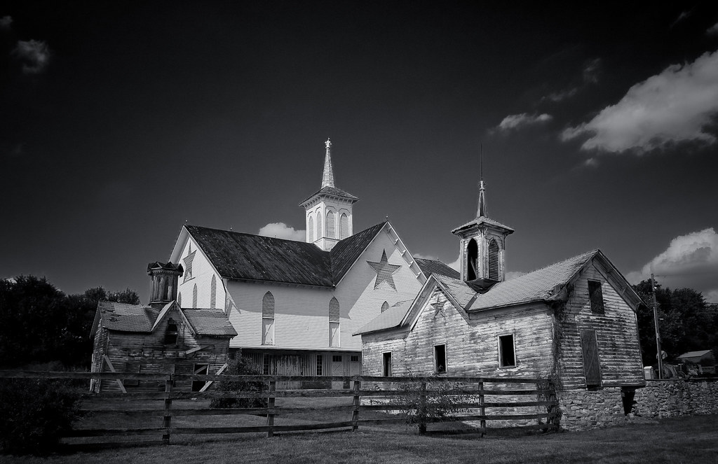
The Star Barn
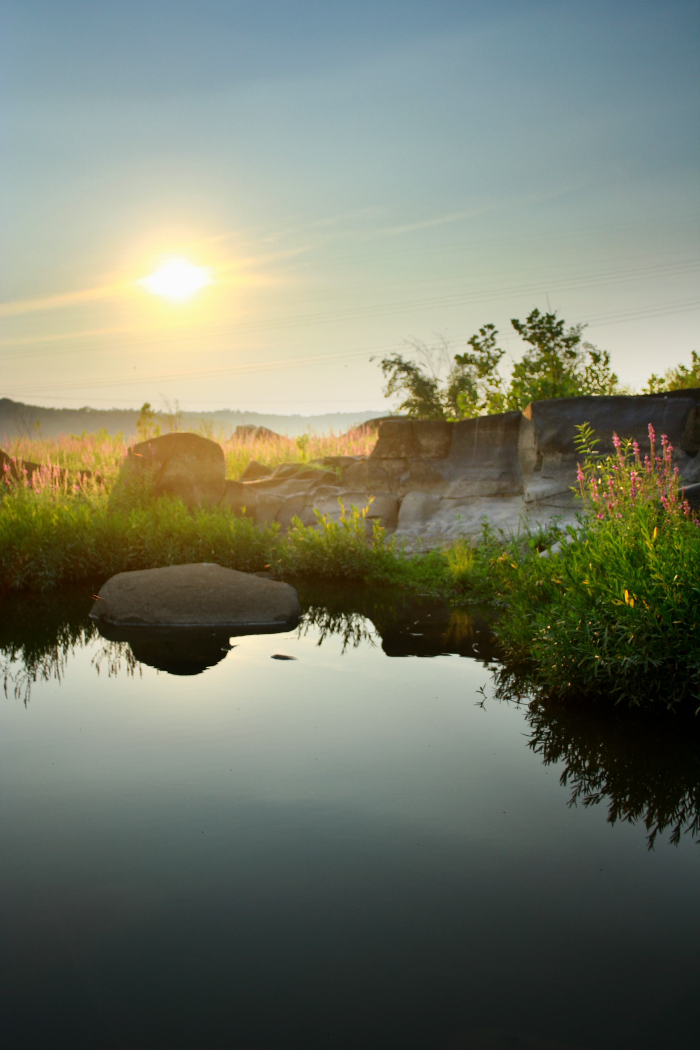
A Place By the Seaside

Searching through the snow

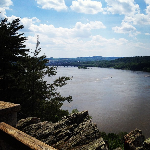
The Rocks

The Heart of Tulip Time

Tulip Time Ballet

Tulip Time Blush

Orange Sunset

All Clear...
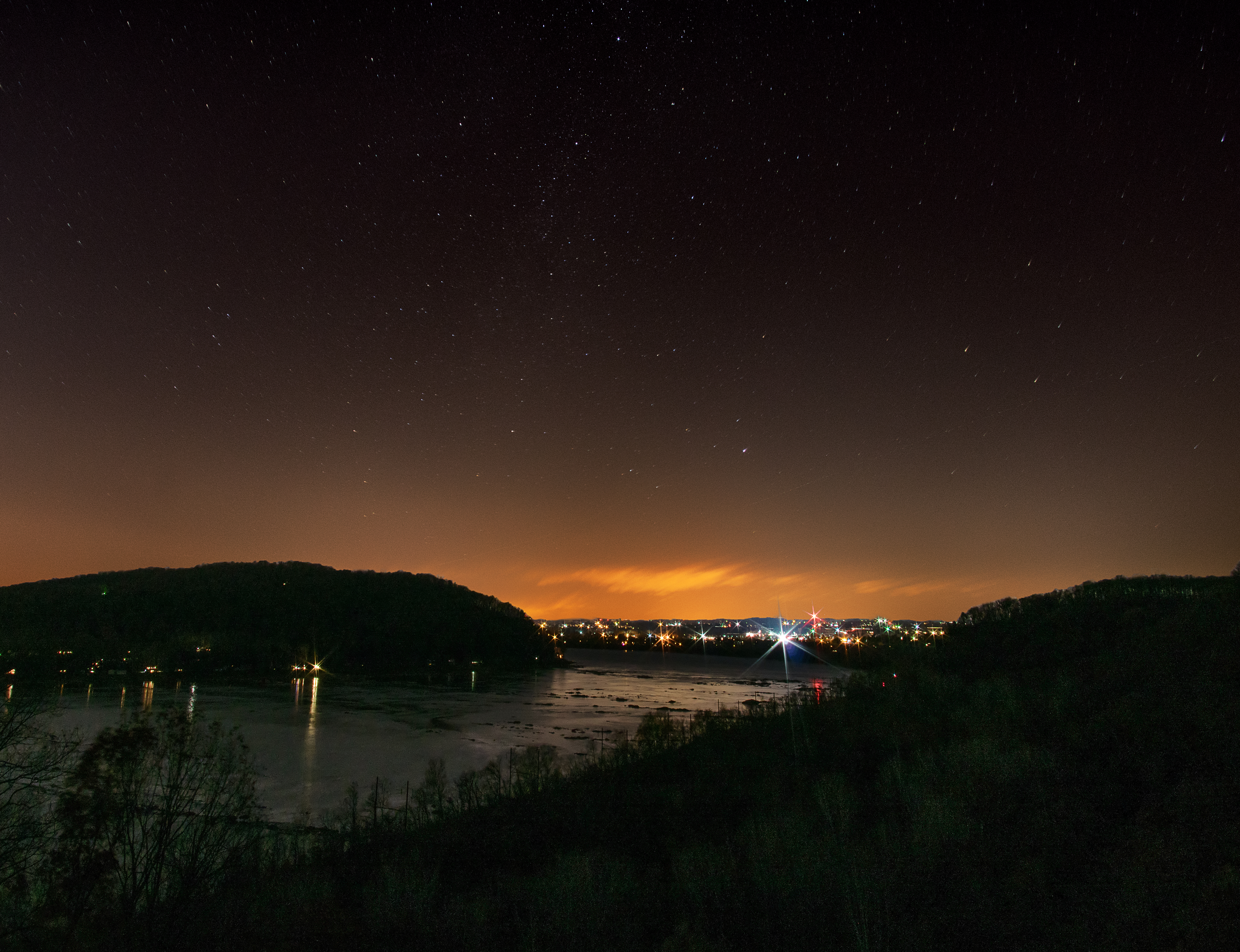
Night View with Stars of Susquehanna River from Chickies Rock, Lancaster County, PA
View from the Rick

Tulip Time
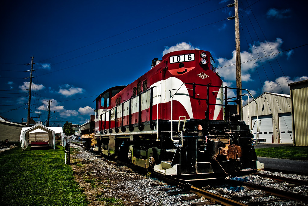
Switch 1016
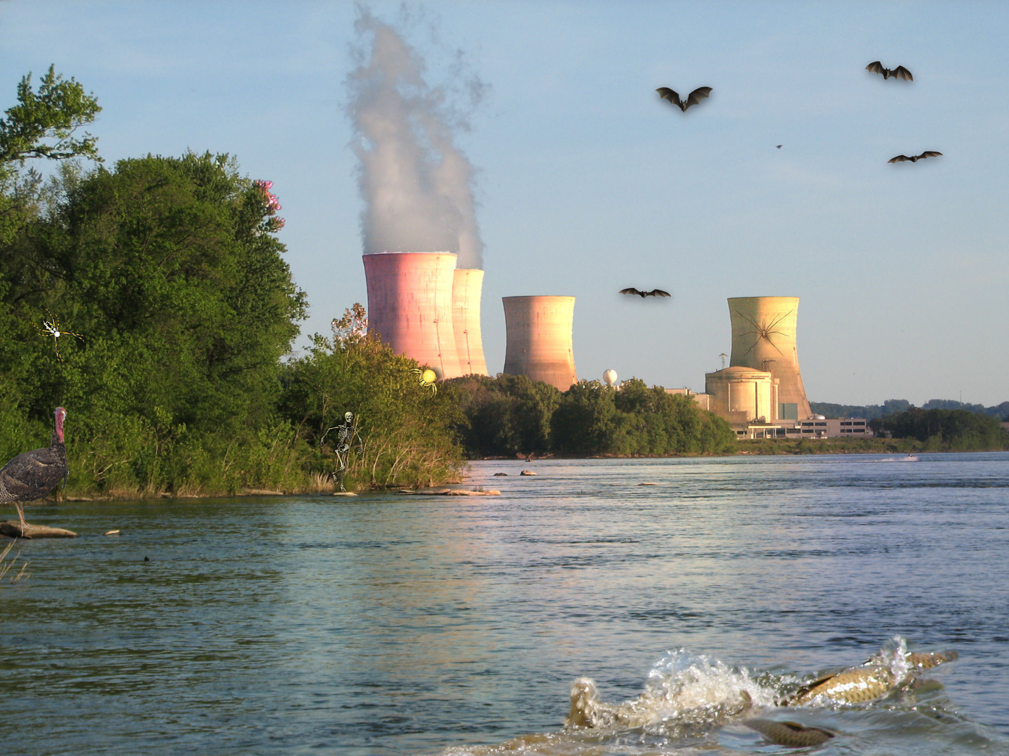
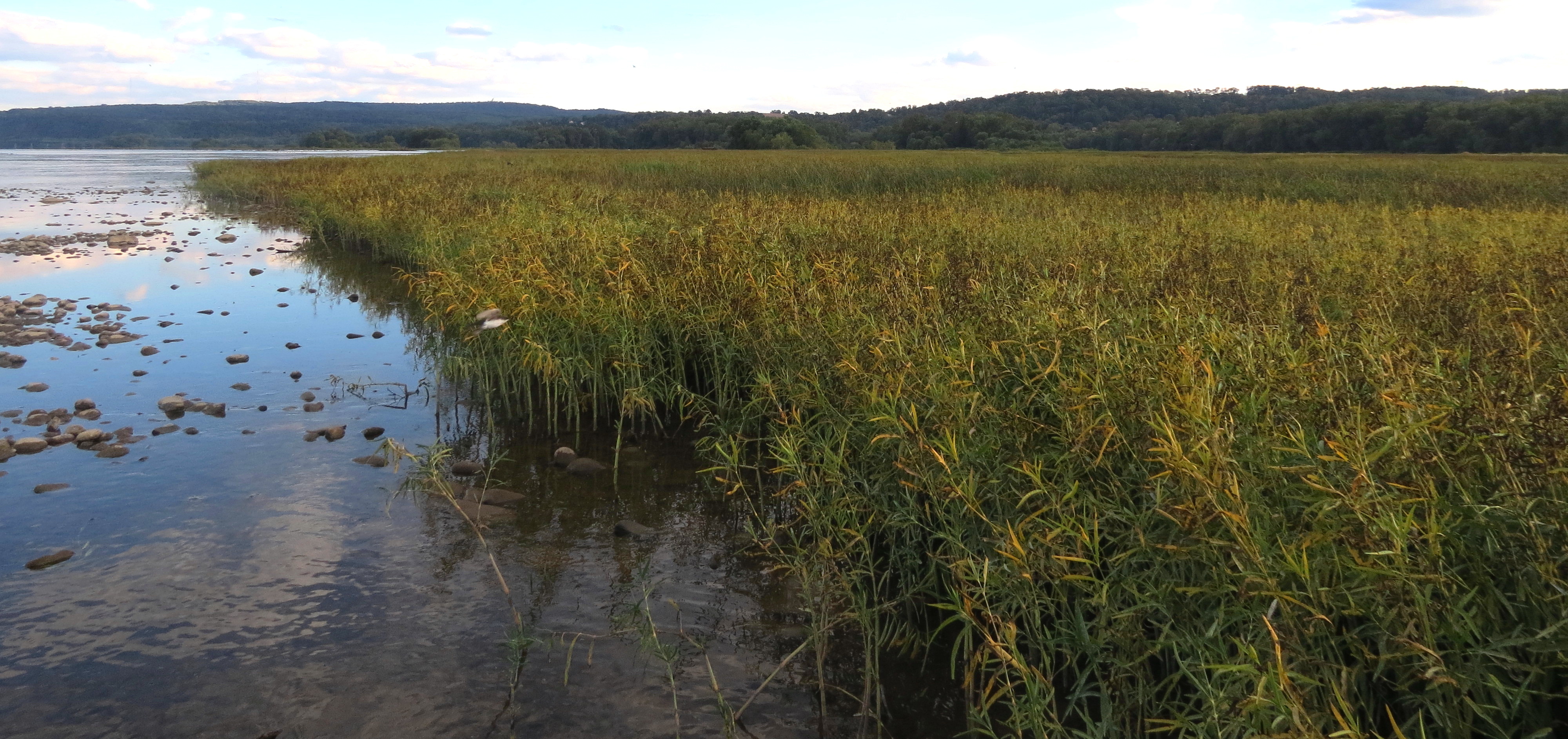
Susquehanna Wildlife at TMI

MacGillivray's Warbler (Immature Male) Geothlypis tolmiei 9

After the Storm ~ Take 2

Another Susquehanna Sunset

TMI Lightning Strike.

The Year Of The Ox
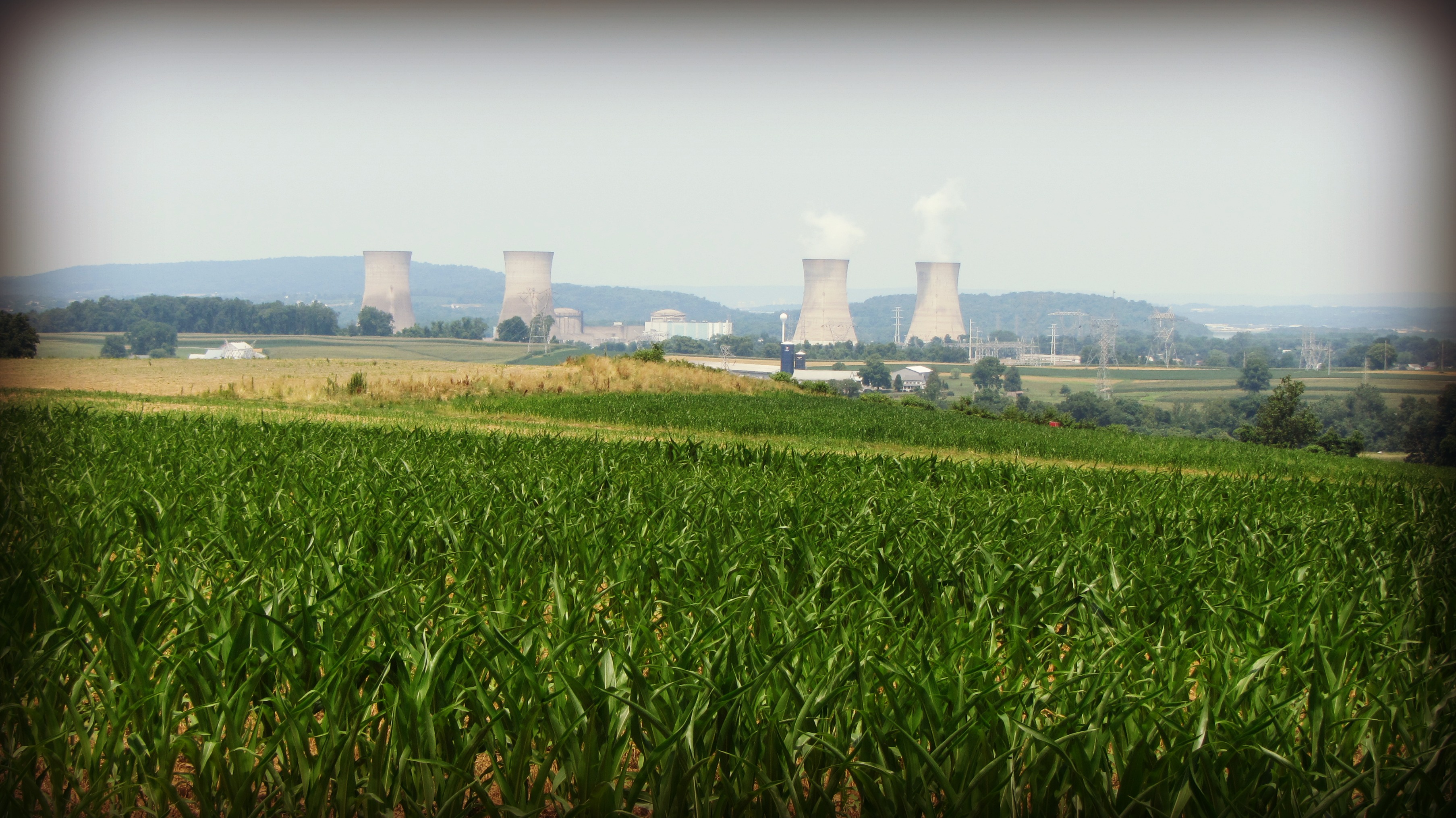
Three Mile Island

Wrightsville Bridge

Morning Tree
Autumn Creek
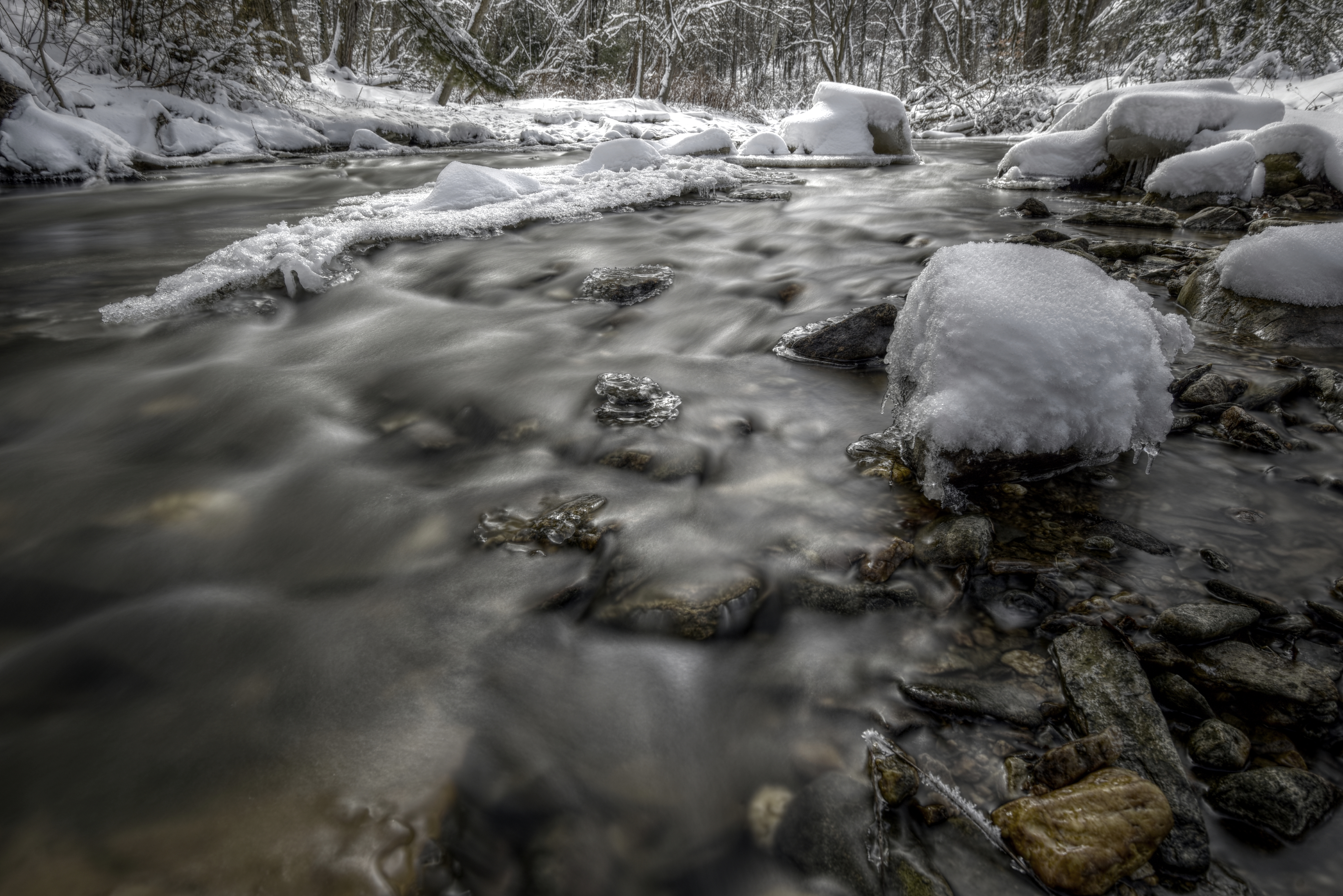
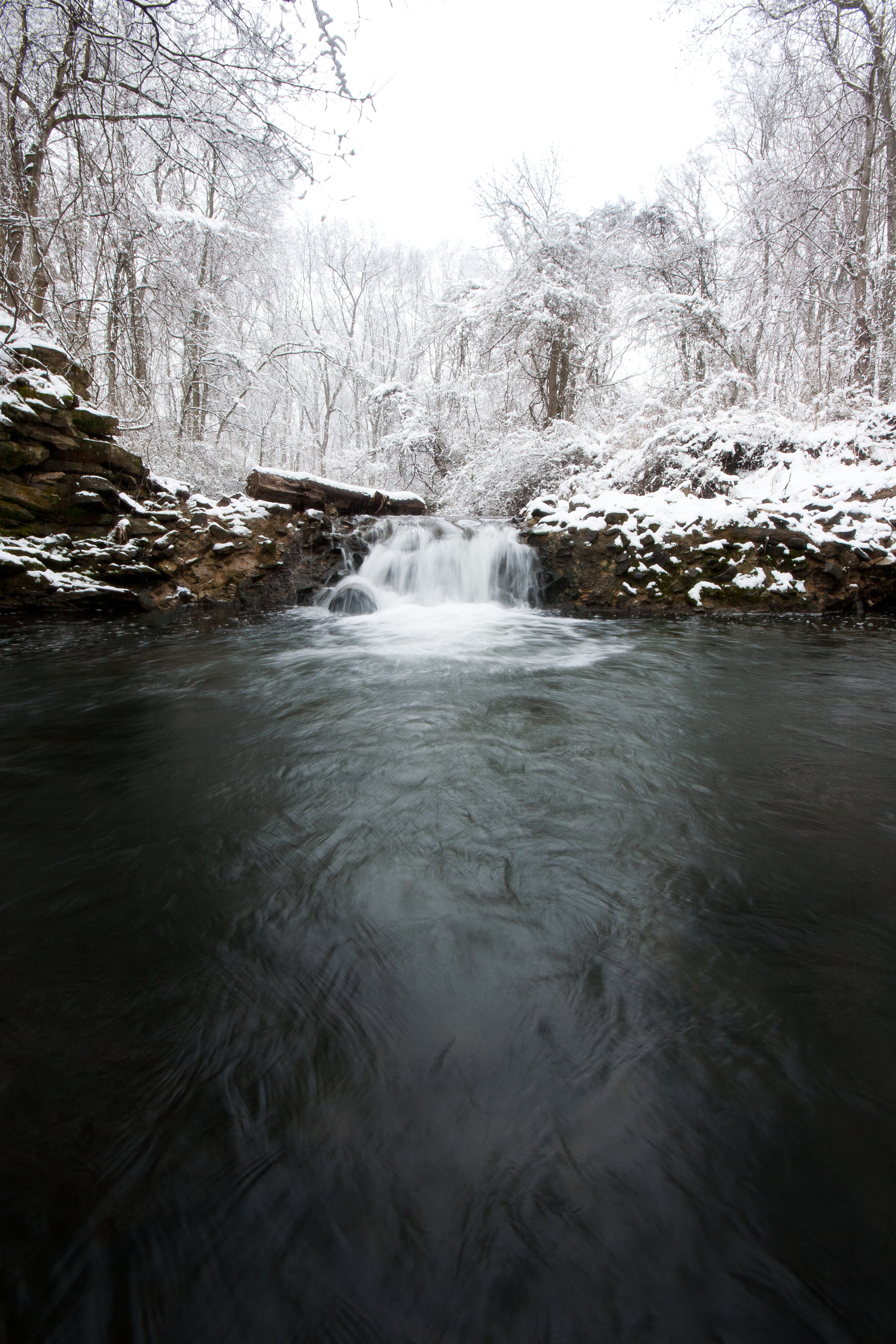
Winter Creek

Cloudy Afternoon

First Snow

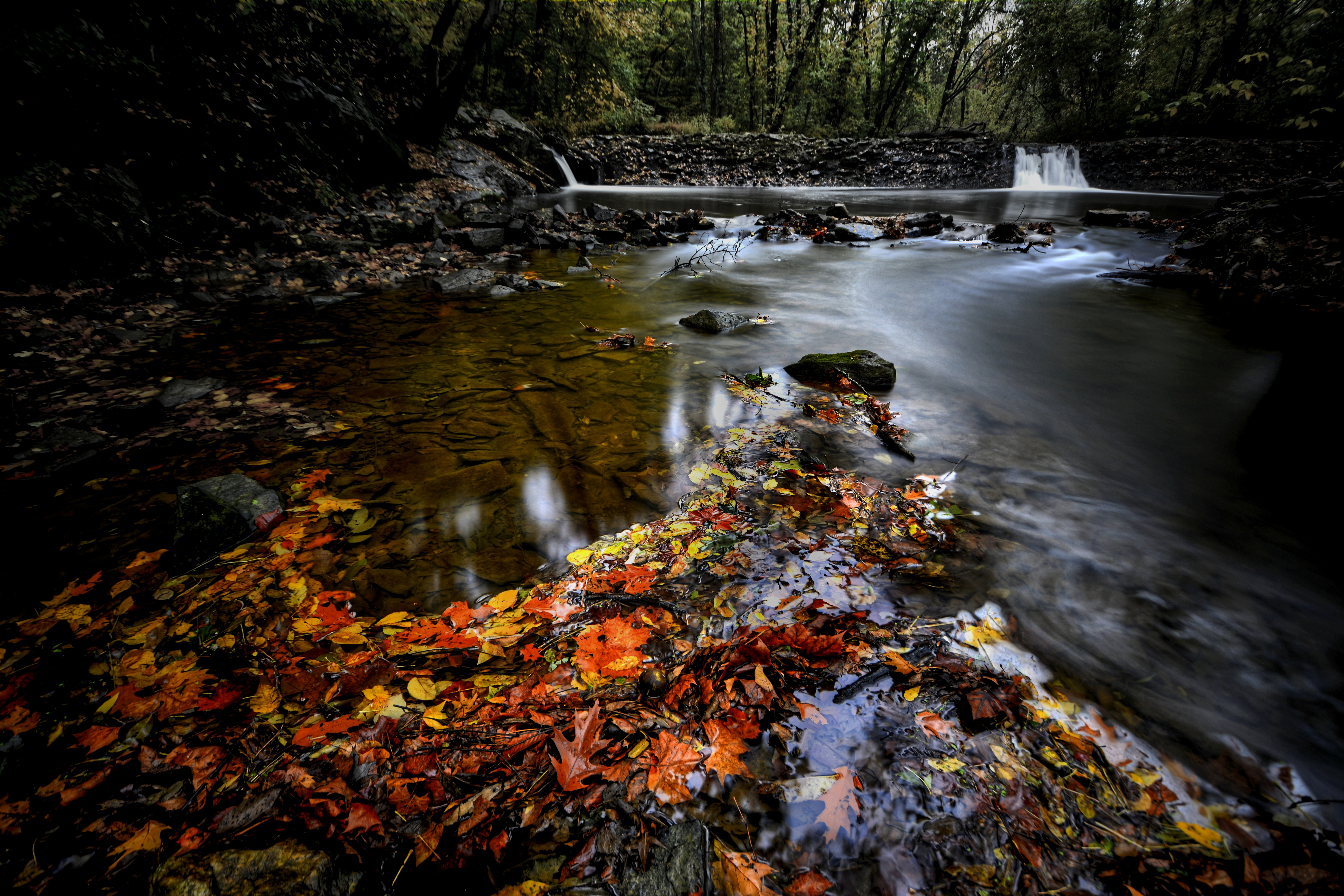
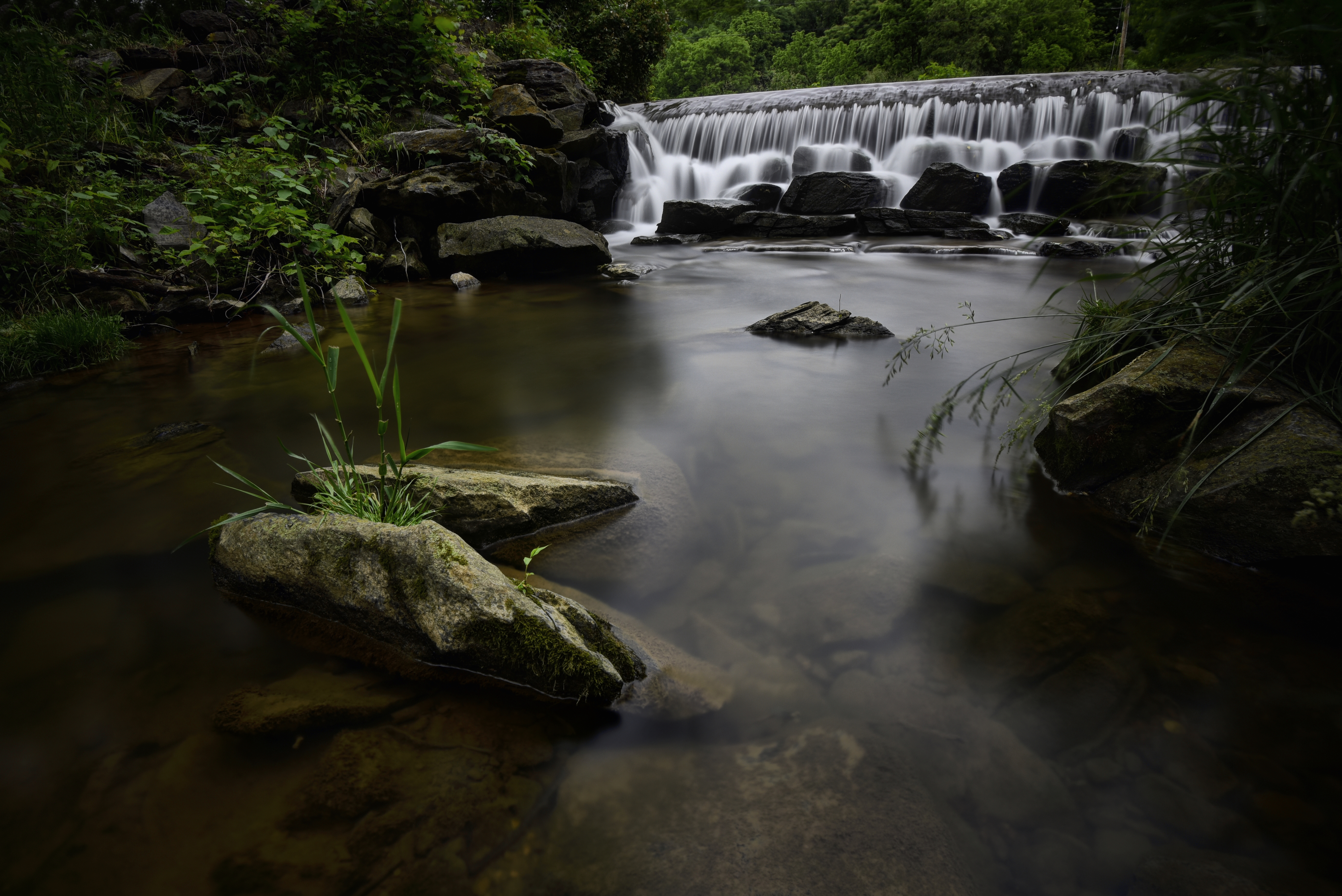
Autumn Stream
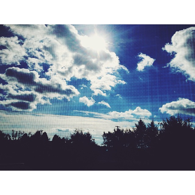
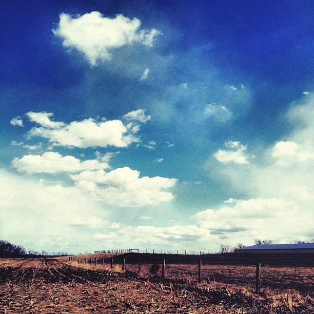
Those clouds though....
Sunset On The Susquehanna
Bair's Mill

Emerald city...

Columbia–Wrightsville Bridge
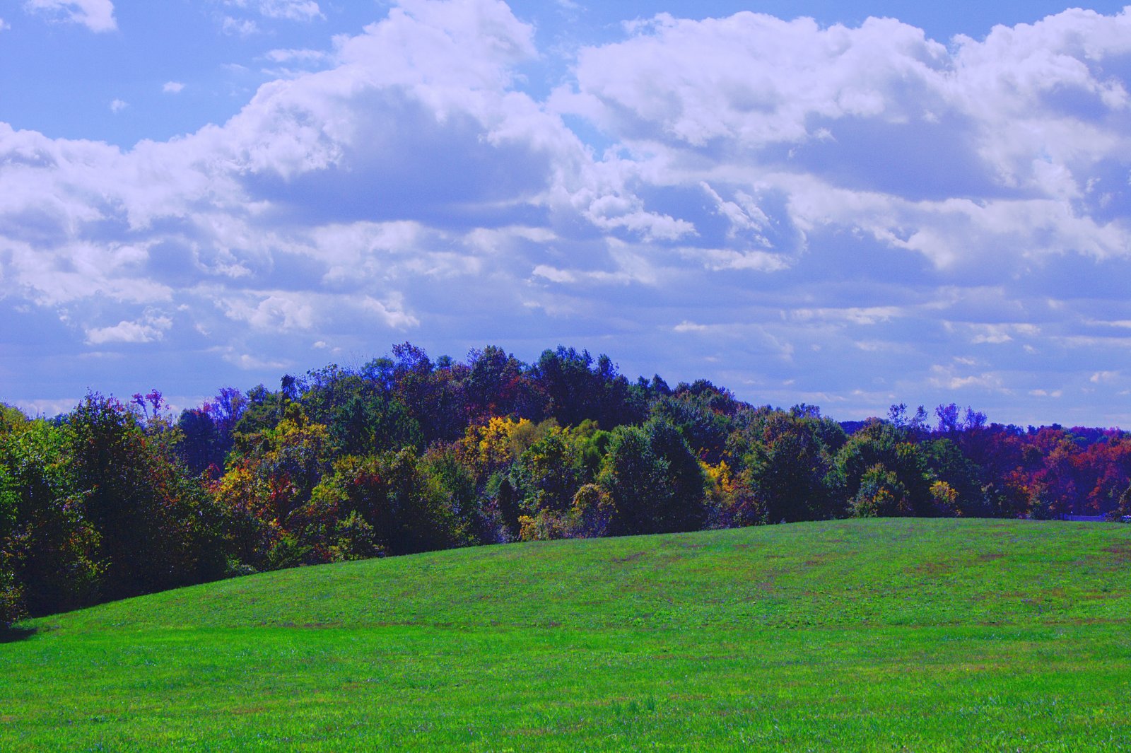
Pennsylvania Rural Landscape
Endless....
Cold Flow #2

We need to paint with all the colors of the wind....
scape2.jpg
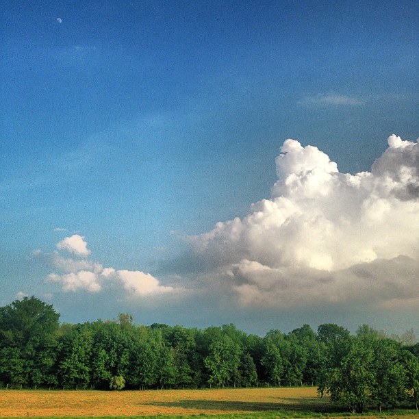
Tiny moon and giant clouds....
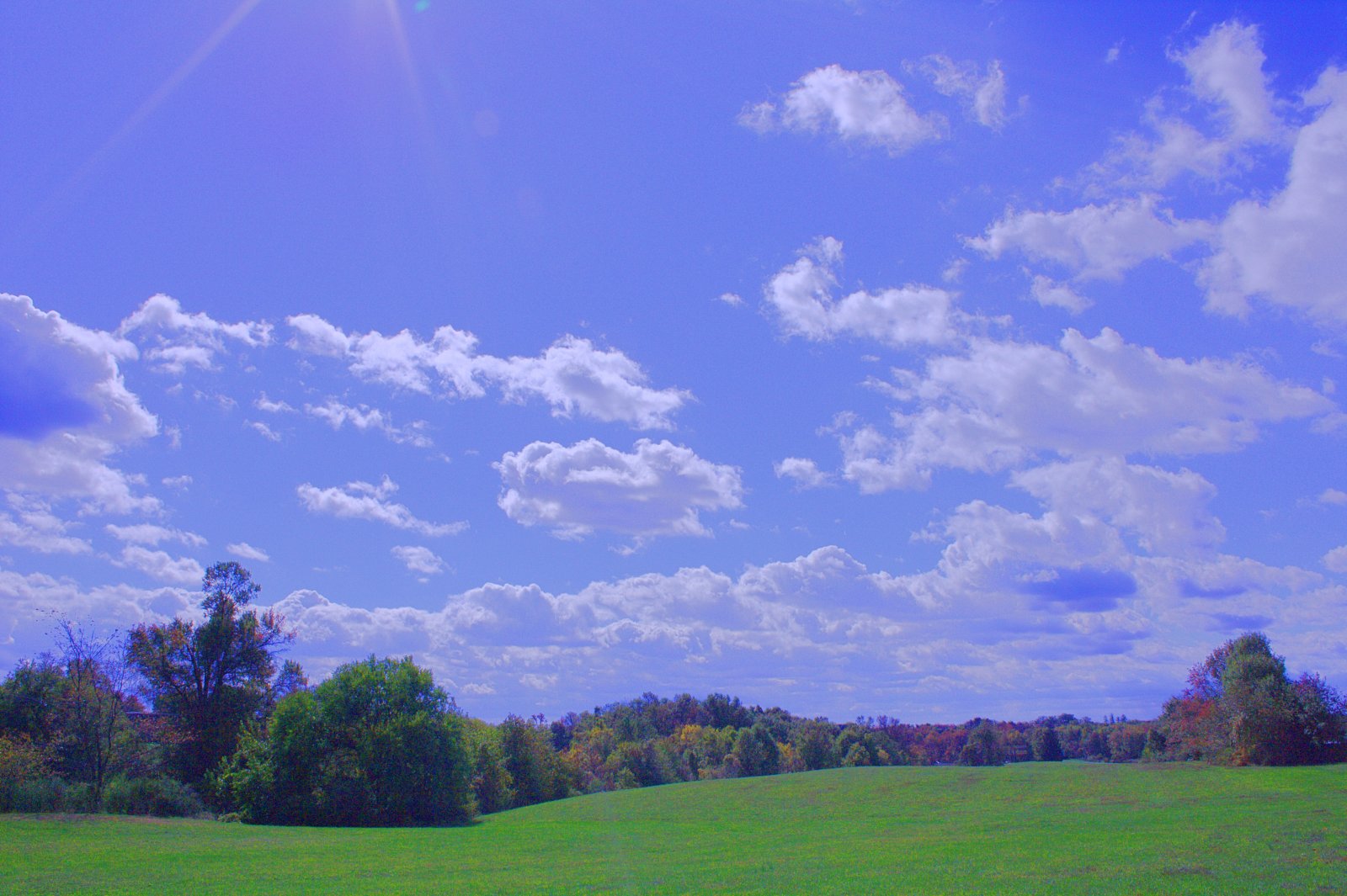
scape1.jpg
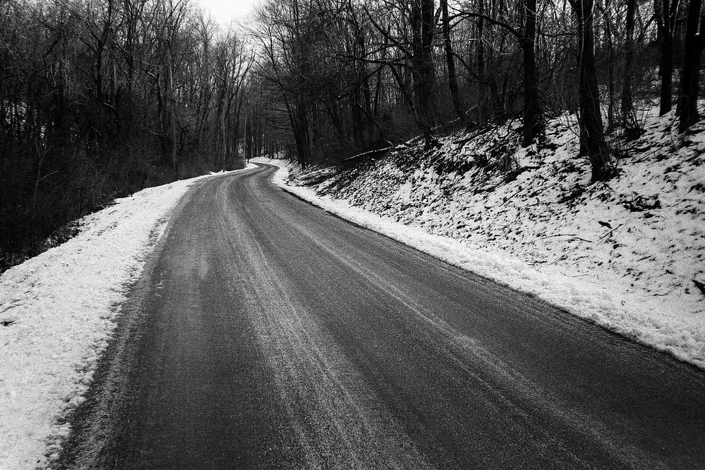
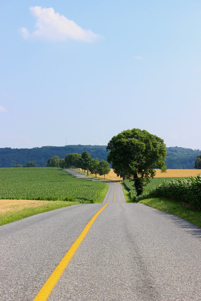
The Road
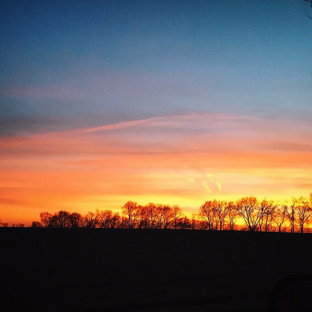
Tonight's sky was on fire.
Topographic Map of West Donegal Township, PA, USA
Find elevation by address:

Places in West Donegal Township, PA, USA:
Places near West Donegal Township, PA, USA:
125 Eden View Rd
125 Eden View Rd
111 Farmington Ln
99 Farmington Ln
108 Farmington Ln
James Buchanan Drive
3122 James Buchanan Dr
Farmington Lane
1 Masonic Dr
Masonic Village At Elizabethtown
E High St, Elizabethtown, PA, USA
Elizabethtown
213 Ammon Ave
124 Clover Ln
550 Stackstown Rd
103 Engle Rd
Old Hershey Rd, Elizabethtown, PA, USA
1146 Vista Ln
Rheems
Mount Joy Township
Recent Searches:
- Elevation of Corso Fratelli Cairoli, 35, Macerata MC, Italy
- Elevation of Tallevast Rd, Sarasota, FL, USA
- Elevation of 4th St E, Sonoma, CA, USA
- Elevation of Black Hollow Rd, Pennsdale, PA, USA
- Elevation of Oakland Ave, Williamsport, PA, USA
- Elevation of Pedrógão Grande, Portugal
- Elevation of Klee Dr, Martinsburg, WV, USA
- Elevation of Via Roma, Pieranica CR, Italy
- Elevation of Tavkvetili Mountain, Georgia
- Elevation of Hartfords Bluff Cir, Mt Pleasant, SC, USA