Elevation of West Cherry Street, W Cherry St, Troy, MO, USA
Location: United States > Missouri > Lincoln County > Bedford Township > Troy >
Longitude: -90.985061
Latitude: 38.9782727
Elevation: 178m / 584feet
Barometric Pressure: 99KPa
Elevation Map:
Satellite Map:
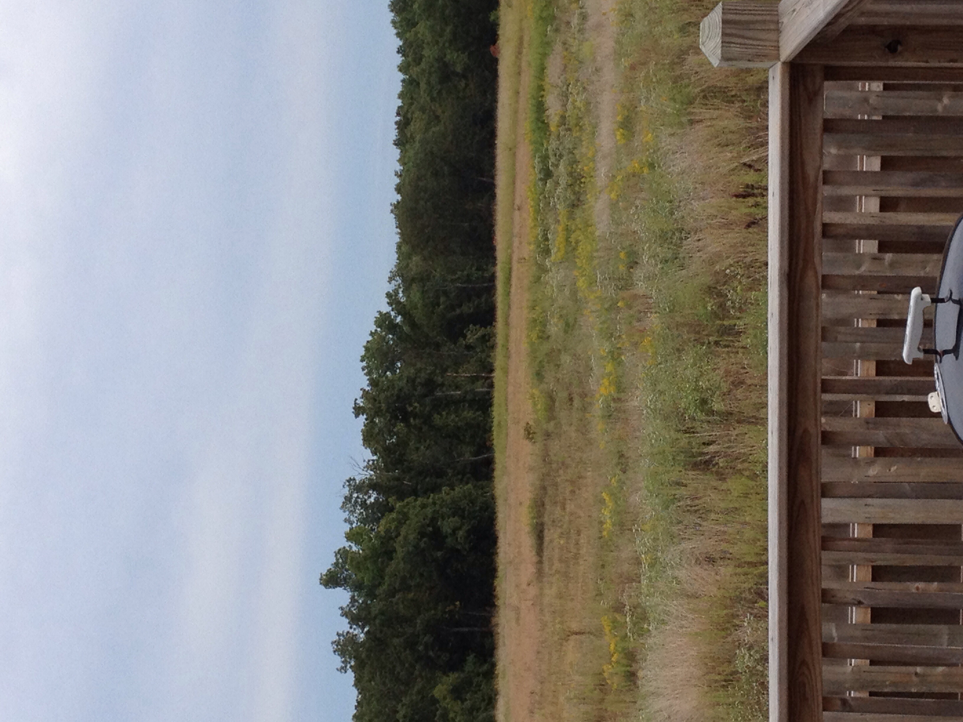
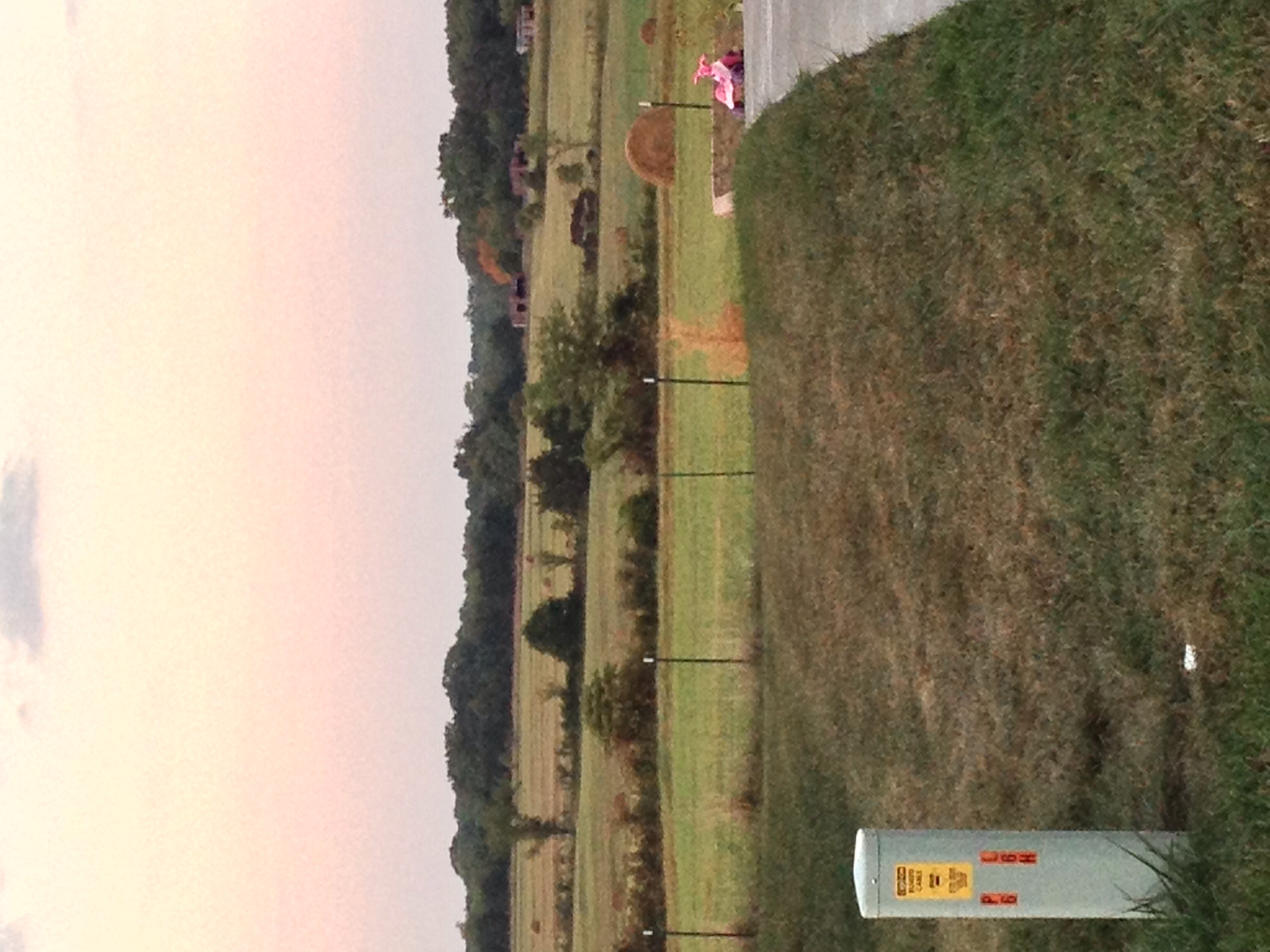
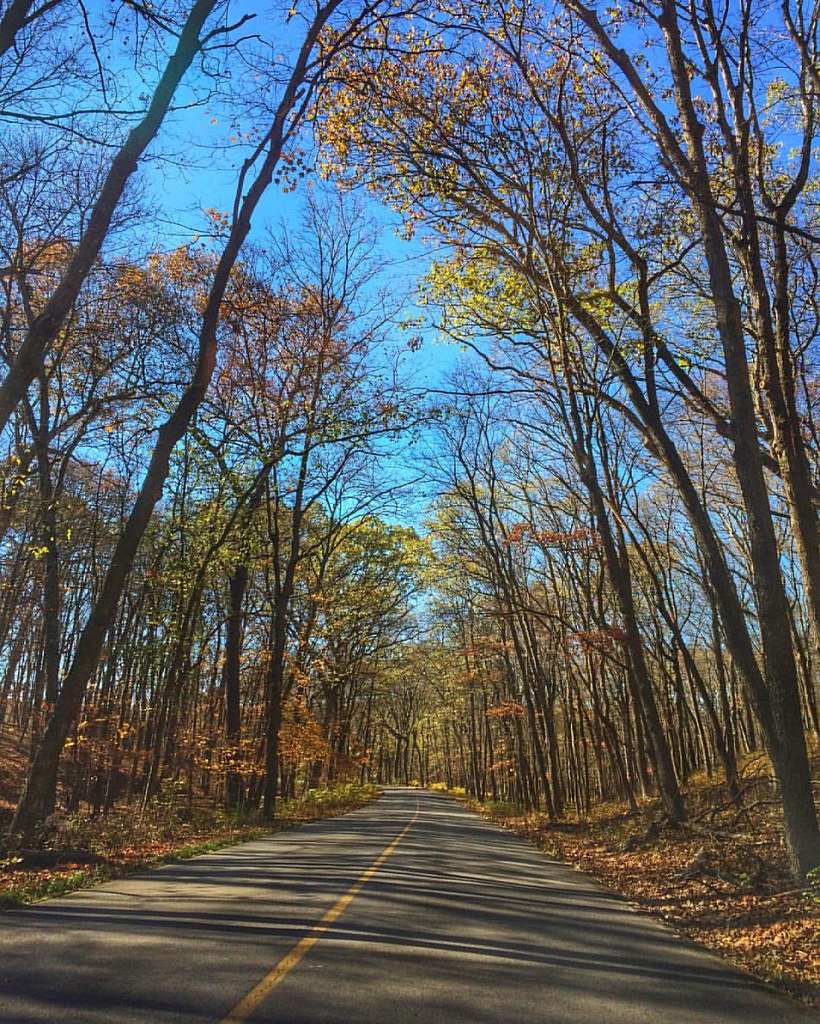
Related Photos:
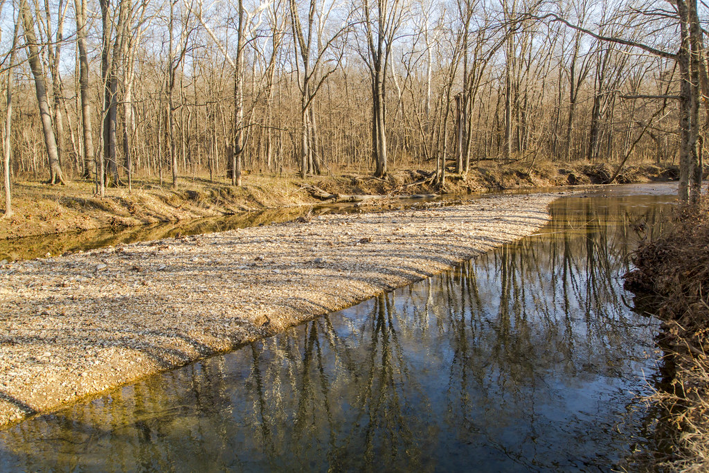
Sugar Creek

Cotton tail Rabbit

Peters next Generation
Let's Have A Big Adventure, Paul Reubens

#missouri #autumn #october #cuivreriverstatepark

Let's Build A Bridge, Alec Guinness
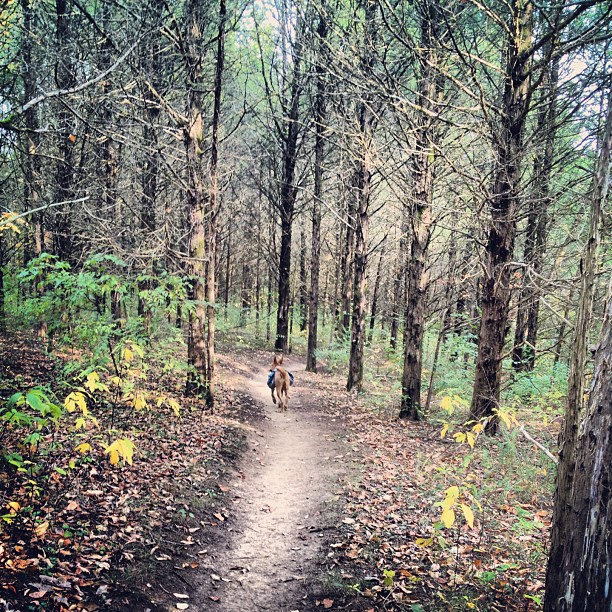
Derby and I did 10 miles today! My knees hate me for it, but we did it! #trailrunning
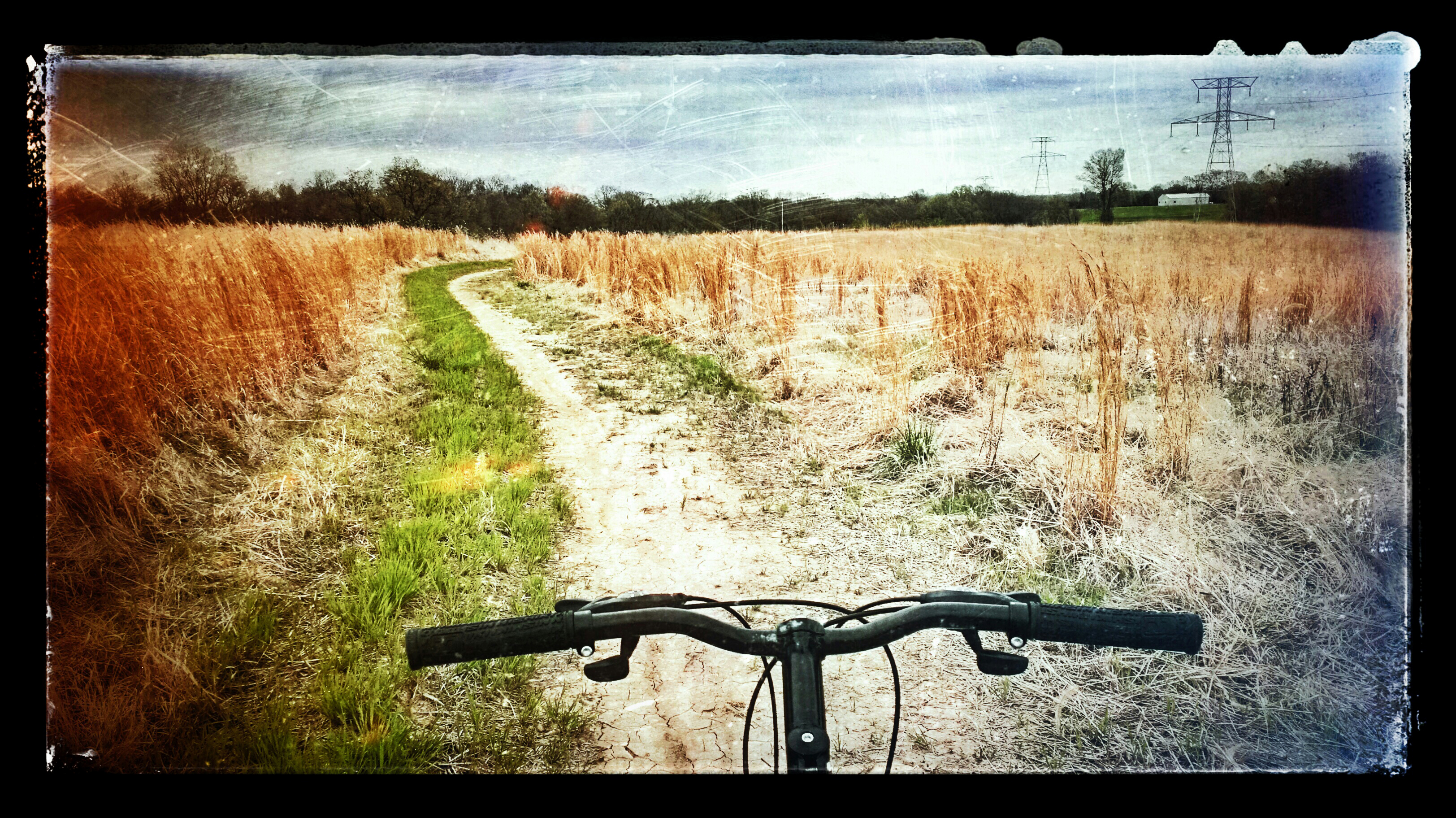
Cuivre River State Park fall of 2015

Lady of the House
Wright City

Maiden Fern
Wright City

If I Toad You Once..
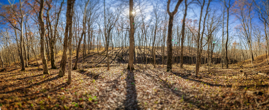
Cuivre River State Park. #fall???????? #november #autumn #missouri #troy #cuivreriverstatepark #statepark #park #fallcolors
Topographic Map of West Cherry Street, W Cherry St, Troy, MO, USA
Find elevation by address:

Places near West Cherry Street, W Cherry St, Troy, MO, USA:
Recent Searches:
- Elevation of Corso Fratelli Cairoli, 35, Macerata MC, Italy
- Elevation of Tallevast Rd, Sarasota, FL, USA
- Elevation of 4th St E, Sonoma, CA, USA
- Elevation of Black Hollow Rd, Pennsdale, PA, USA
- Elevation of Oakland Ave, Williamsport, PA, USA
- Elevation of Pedrógão Grande, Portugal
- Elevation of Klee Dr, Martinsburg, WV, USA
- Elevation of Via Roma, Pieranica CR, Italy
- Elevation of Tavkvetili Mountain, Georgia
- Elevation of Hartfords Bluff Cir, Mt Pleasant, SC, USA