Elevation of West Branch, W Branch, Rayne, LA, USA
Location: United States > Louisiana > Acadia Parish > >
Longitude: -92.287639
Latitude: 30.2271471
Elevation: 8m / 26feet
Barometric Pressure: 101KPa
Elevation Map:
Satellite Map:
Related Photos:

Up Front

Bug's Eye View
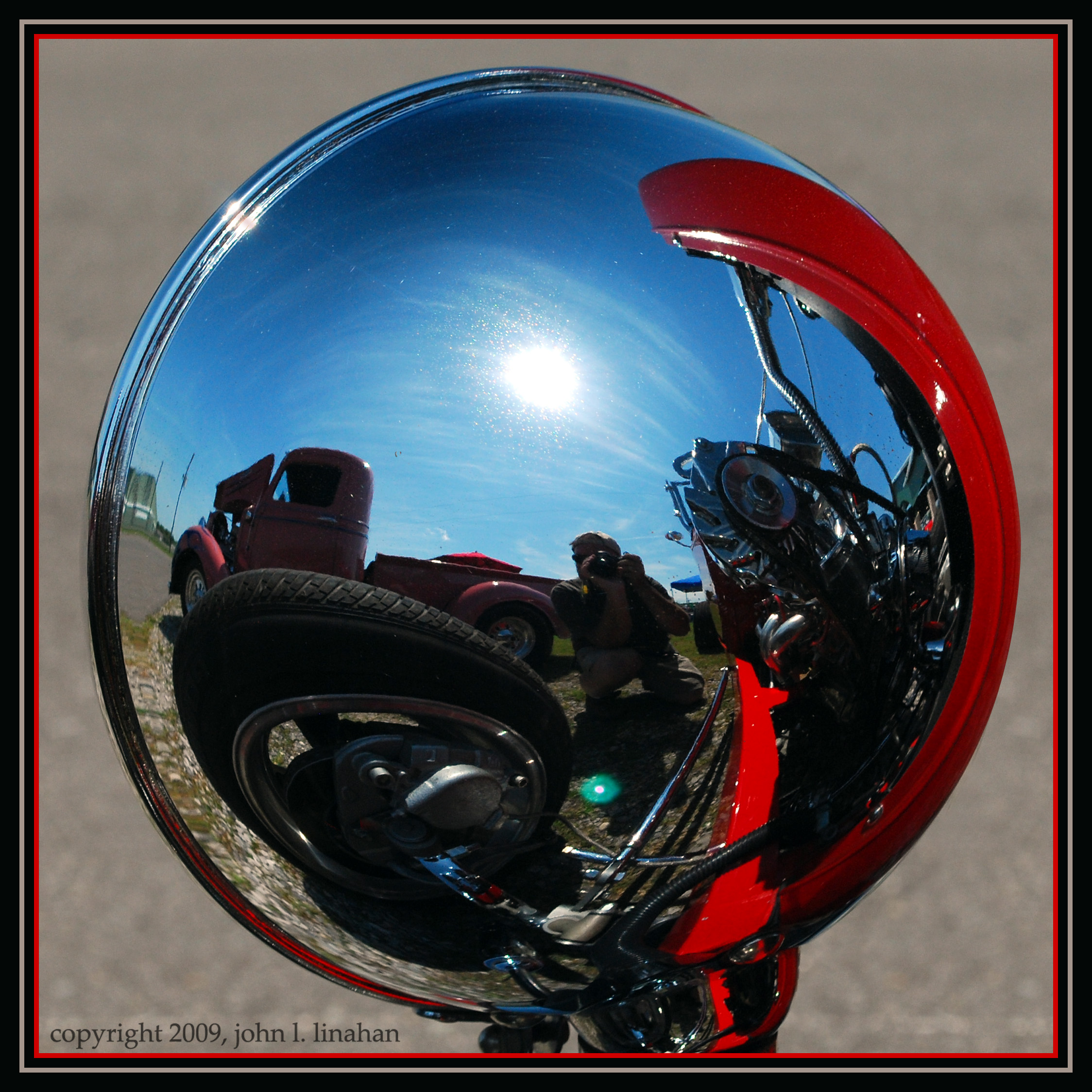
Convex View

1first view of Louisiana - Copy
Camera Roll-21

Louisiana Winter 3

Louisiana Winter 6
Fence I
@katctv3 and @klfy off in the distance.
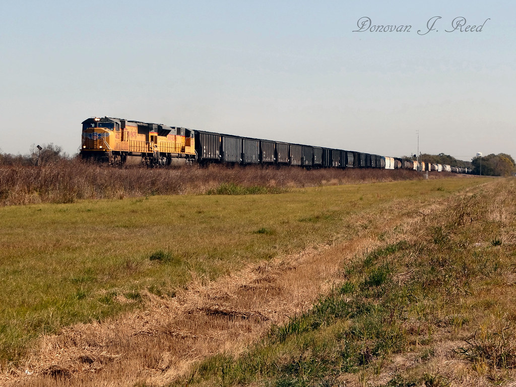
UP 4622 West @ Duson, LA
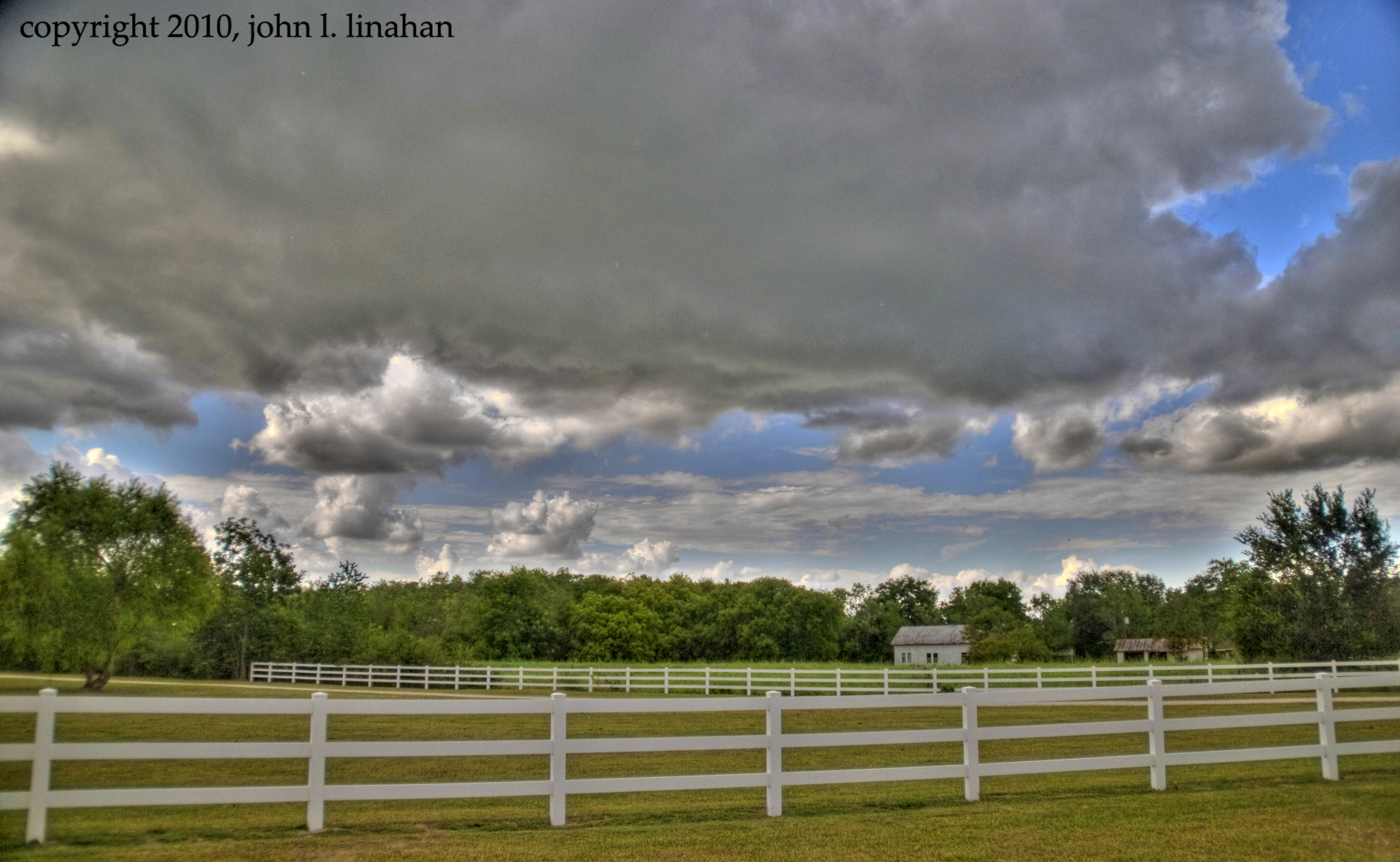
Fence II
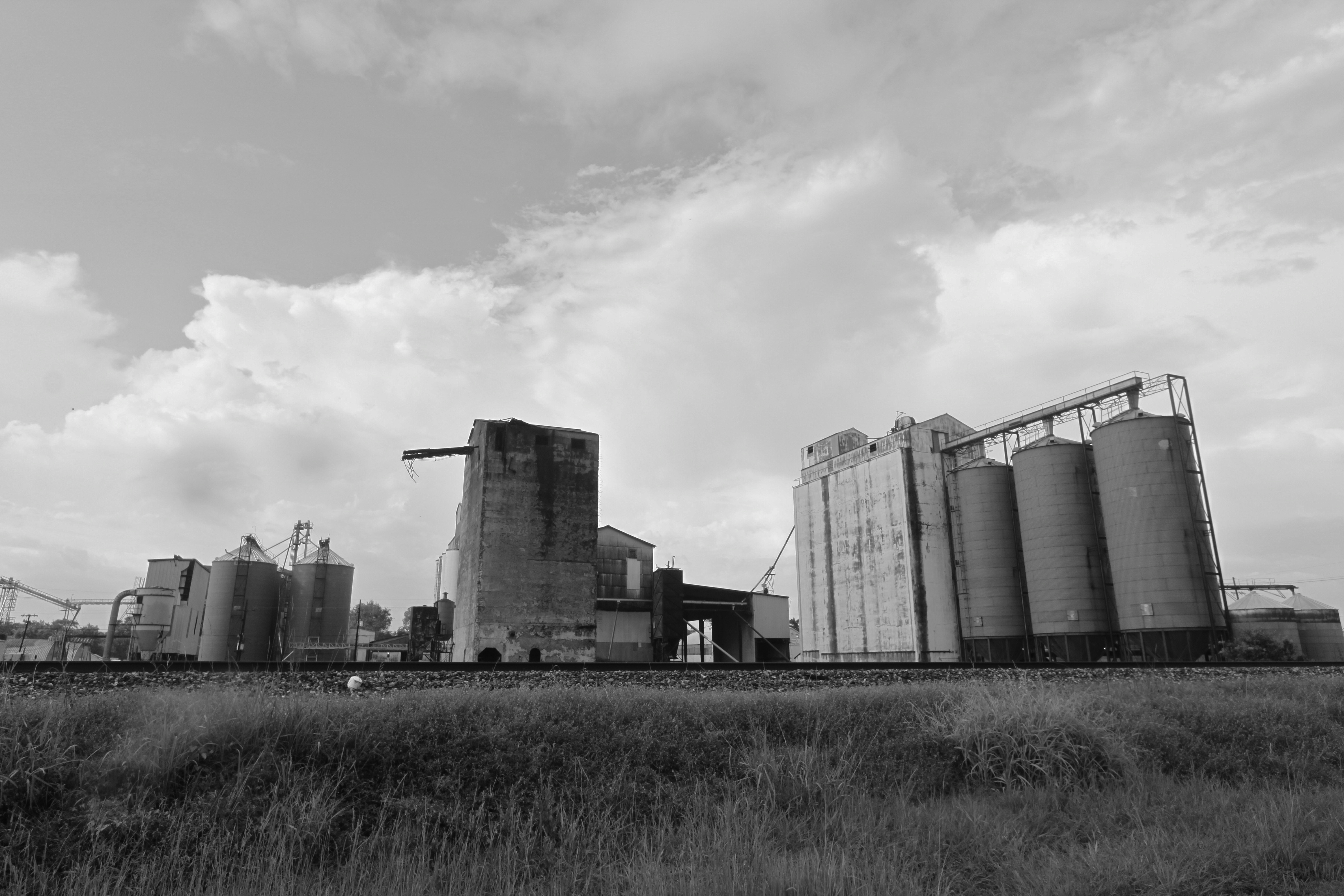
Rice elevators, Rayne LA
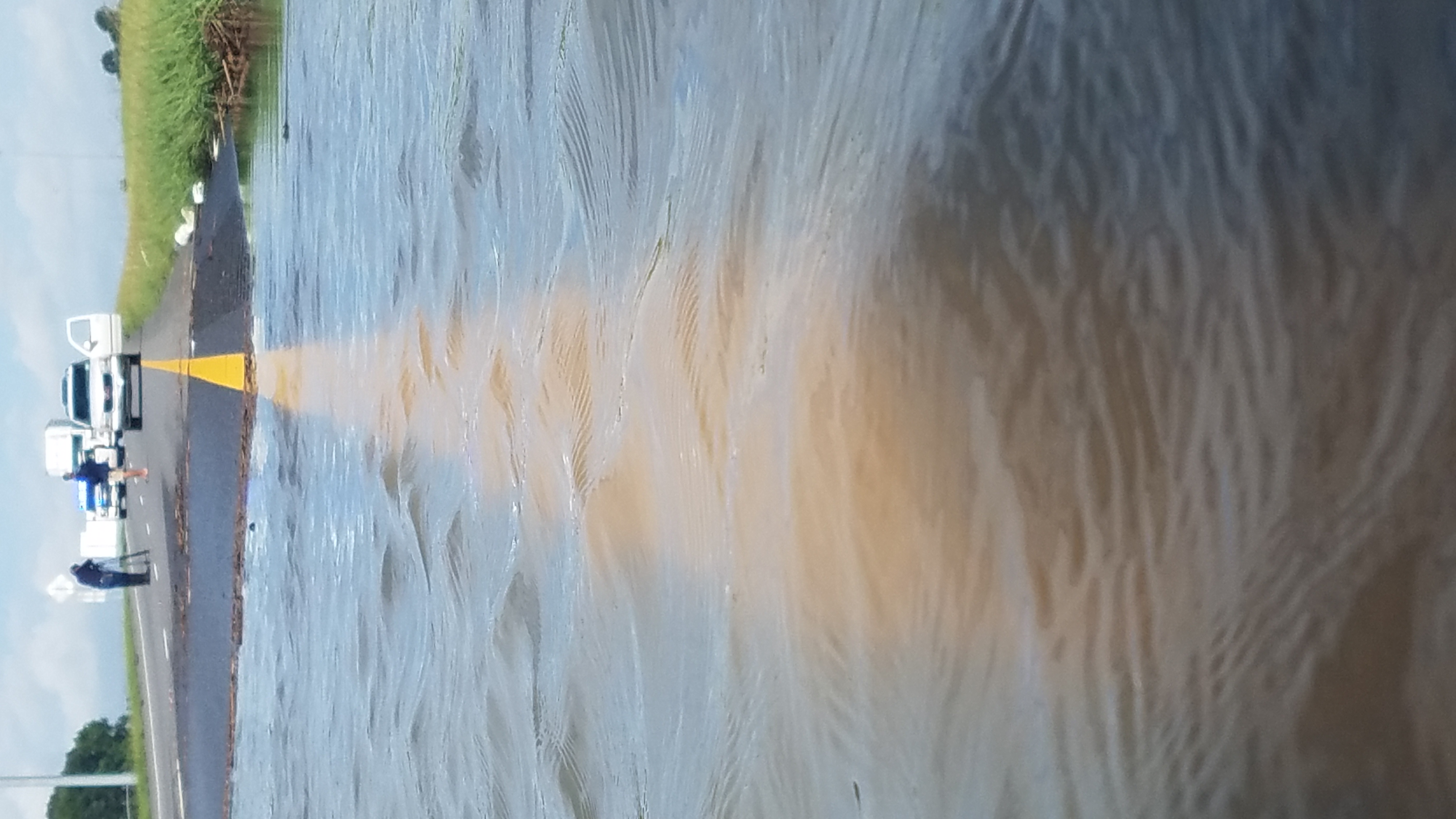
I-10 Flooding
Topographic Map of West Branch, W Branch, Rayne, LA, USA
Find elevation by address:

Places near West Branch, W Branch, Rayne, LA, USA:
910 Pearl St
1040 Pearl St
1305 Edith St
708 S Cunningham St
2567 Abbeville Hwy
104 Joselyn St
2528 Lovell St
253 Blue Bonnet Dr
148 Gulf Rose Dr
2314 Wades Rd
339 Monceaux Rd
4, LA, USA
536 S Ave O
1025 E 5th St
Crowley, LA, USA
1127 Wright Ave
1124 Crawford Ave
143 Sterling Dr
616 E 4th St
717 E 6th St
Recent Searches:
- Elevation of Corso Fratelli Cairoli, 35, Macerata MC, Italy
- Elevation of Tallevast Rd, Sarasota, FL, USA
- Elevation of 4th St E, Sonoma, CA, USA
- Elevation of Black Hollow Rd, Pennsdale, PA, USA
- Elevation of Oakland Ave, Williamsport, PA, USA
- Elevation of Pedrógão Grande, Portugal
- Elevation of Klee Dr, Martinsburg, WV, USA
- Elevation of Via Roma, Pieranica CR, Italy
- Elevation of Tavkvetili Mountain, Georgia
- Elevation of Hartfords Bluff Cir, Mt Pleasant, SC, USA