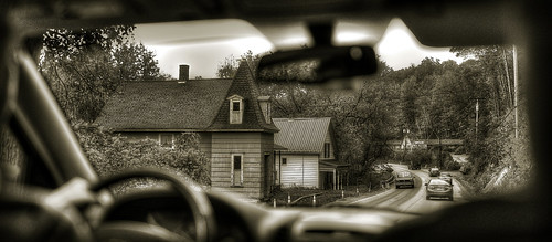
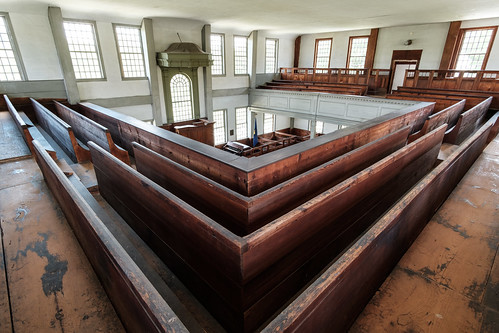
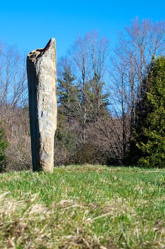
Elevation of Wentworth Rd, Walpole, NH, USA
Location: United States > New Hampshire > Cheshire County > Walpole >
Longitude: -72.431556
Latitude: 43.0616065
Elevation: 197m / 646feet
Barometric Pressure: 99KPa
Related Photos:
Topographic Map of Wentworth Rd, Walpole, NH, USA
Find elevation by address:

Places near Wentworth Rd, Walpole, NH, USA:
1170 River Rd S
837 Sweetwood Hill
195 E Putney Brook Rd
161 E Putney Falls Rd
720 Patch Rd
68 Earls Way
45 S Village Rd, Westmoreland, NH, USA
21 S Village Rd
Westmoreland
39 Church St, Putney, VT, USA
2492 W Rd
East Dummerston, VT, USA
19 River Rd S
228 Westminster W Rd
4 Kimball Hill
Putney
92 N Shore Rd
418 Houghton Brook Rd
North Shore Road
218 Dusty Ridge Rd
Recent Searches:
- Elevation of Corso Fratelli Cairoli, 35, Macerata MC, Italy
- Elevation of Tallevast Rd, Sarasota, FL, USA
- Elevation of 4th St E, Sonoma, CA, USA
- Elevation of Black Hollow Rd, Pennsdale, PA, USA
- Elevation of Oakland Ave, Williamsport, PA, USA
- Elevation of Pedrógão Grande, Portugal
- Elevation of Klee Dr, Martinsburg, WV, USA
- Elevation of Via Roma, Pieranica CR, Italy
- Elevation of Tavkvetili Mountain, Georgia
- Elevation of Hartfords Bluff Cir, Mt Pleasant, SC, USA
