Elevation of Welches, Mt Hood Village, OR, USA
Location: United States > Oregon > Clackamas County > Mount Hood Village >

Longitude: -121.96321

Latitude: 45.3384806

Elevation: 414m / 1358feet

Barometric Pressure: 96KPa

Elevation Map:

elevation map of Welches, Mt Hood Village, OR, USA
Satellite Map:

Satellite map of Welches, Mt Hood Village, OR, USA
Related Photos:

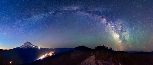
longexposure night oregon portland stars landscape darkness mirrorlake pacificnorthwest portlandoregon mounthood mountadams milkyway mountjefferson governmentcamp tomdickandharrymountain
Milky Way arching over Mount Hood
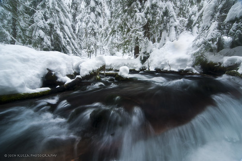
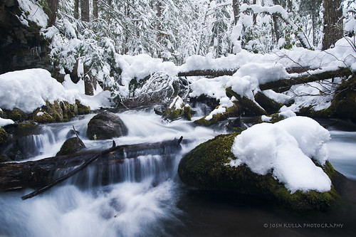
longexposure winter snow water oregon creek river stream mthood zigzagriver mthoodnationalforest joshkulla oregonlandscapephotographers joshkullaphotography
Winter on the Mountain
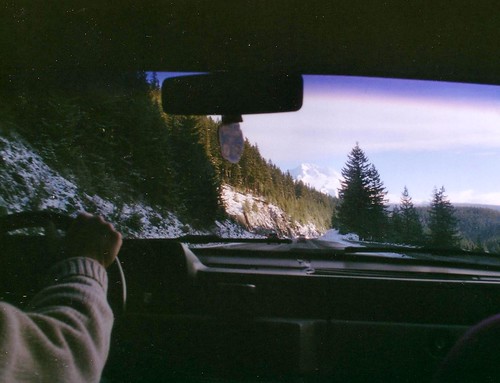
mountain oregon highway mt 26 hood
looming in the distance
water oregon fav20 waterfalls pacificnorthwest bushwhack mounthoodnationalforest mounthoodwilderness
Trillium Falls
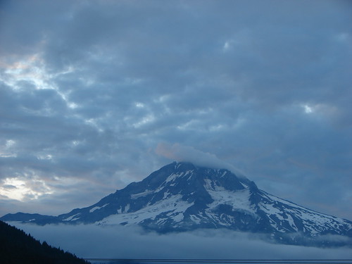
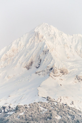
winter mountain clouds oregon unitedstates fav20 mthood summit february fav30 fav10 10000feet
Summit Mt Hood in February
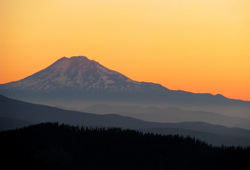
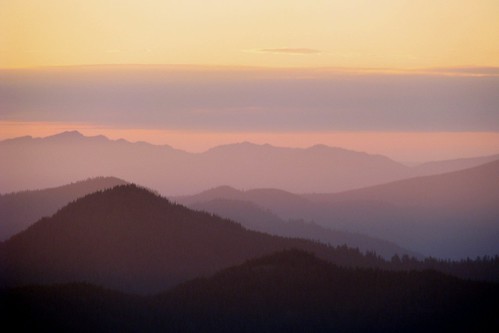
sky orange mountain oregon sunrise washington searchthebest cascades
Ridge After Ridge
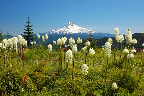
oregon hiking wildflowers beargrass mthoodnationalforest salmonhuckleberrywilderness myintyreridge
Our lovely mountain
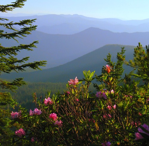
pink blue foothills oregon forest mt national hood wildflowers
A Rhody View
portrait oregon portland photographer mirrorlake wideangle blueskies mounthood selfie neutraldensityfilter mattpayne fotodiox tomdickandharrymountain
Gazing upon Mount Hood
water oregon pacificnorthwest creeks bushwhack mounthoodnationalforest mounthoodwilderness
Cast Creek
autumn water oregon fallcolors autumncolors pacificnorthwest salmonriver creeks mounthoodnationalforest fav10 salmonrivertrail longexposurewater
Salmon River, Study 2009-2
autumn trees oregon fallcolors autumncolors trail velvia pacificnorthwest salmonriver forests oldgrowth mounthoodnationalforest fav10 salmonrivertrail
Old Salmon River Trail
View from the Burnt Lake Trail
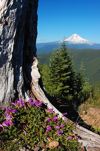
oregon washington mthood wildflowers penstemon mthoodnationalforest salmonhuckleberrywilderness mcintyreridge
Afternoon view
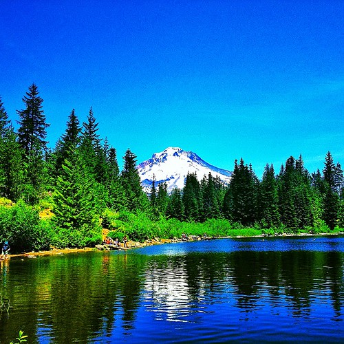
trees mountain lake snow reflection nature water oregon forest day hiking mirrorlake relaxing hike clear mthood timberline
Mt. Hood from Mirror Lake
autumn trees oregon fallcolors autumncolors trail pacificnorthwest salmonriver forests oldgrowth serenitynow mounthoodnationalforest salmonrivertrail
Return to Salmon River
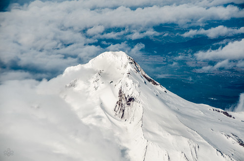
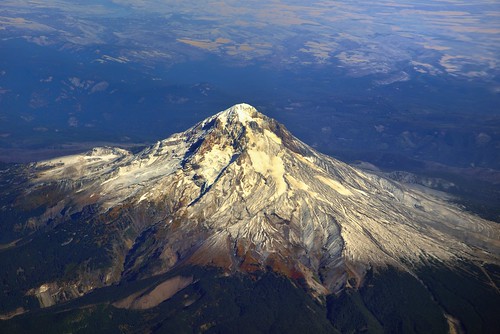
mountains nature oregon inflight unitedstates sandy snowcapped portfolio day6 mounthood cascaderange stratovolcano lookingoutwindow project365 colorefexpro cascadevolcanicarc nikond800 flightpdxtodia
Mount Hood...Up Close!
sunset color oregon forest mt national hood
Softly Over the Foothills
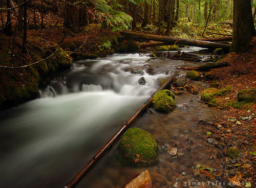
oregon pacificnorthwest creeks mounthoodnationalforest ramonacreek mounthoodwilderness longexposurewater
Ramona Creek, 2009 Study #3
oregon waterfalls pacificnorthwest mounthood laurelhill bushwhack mounthoodnationalforest campcreek governmentcamp yocumfalls goldstaraward oldmounthoodhighway
Yocum Falls, Study 2009-1
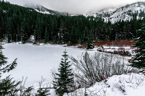
travel trees winter lake snow ice nature oregon forest canon landscape landscapes frozen nw northwest earth or mirrorlake exploring wanderlust adventure explore alpine 7d pacificnorthwest icy exploration alpinelake westcoast pnw mounthood cascadia travelphotography landscapephotography landscapephotographer portlandphotographer traveloregon exploregon livefolk canon7d brianstowell oregonphotographer brianstowellphotography pacificnorthwestphotographer wildernessculture earthporn wildsights liveauthentic brianstowellphotographer brianstowellphoto brianstowellphotos
Frozen Mirror Lake, Oregon
20120902-IMG_9412
morning travel trees usa mountain lake snow reflection tourism nature water oregon america forest landscape mirror mt united scenic peaceful hood states wilderness amerika
USA // Oregon // Clackamas County // Mirror Lake & Mount Hood
longexposure rain oregon dark pm littlezigzagriver nikond40 fallcolors2008 sundayafternoonphotography itwasnearlydarkat400
Guess Where
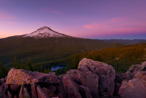
travel sunset summer mountains june oregon forest landscape volcano rocks colorful mirrorlake pacificnorthwest mounthood foreground sidelight governmentcamp tomdickandharrymountain traveloregon
Magnificent Mount Hood - Explored #24
Mt. Hood from Lolo Pass Road in the morning
trees sky mountain snow green oregon unitedstates mthood pacificnorthwest hood mounthood mounthoodnationalforest mthoodnationalforest governmentcamp
Tom Dick & Harry Mountain
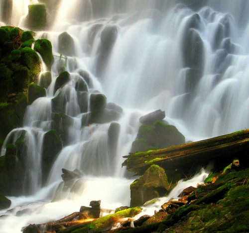
green rock oregon flow moss log wilderness
The Enchanted Ramona
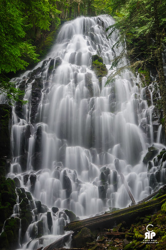
tree water rock oregon forest waterfall hike ramona
Ramona Falls
square squareformat lordkelvin iphoneography instagramapp uploaded:by=instagram foursquare:venue=4c0da4e5b1b676b024fbe086
#mirrorlake #oregon #mthood #oregonstagram #snapseed #winstagram #instagood #instagram #gramemall
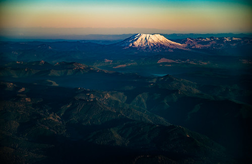
november oregon airplane us washington unitedstates earlymorning fav20 aerial pdx fav30 mtsthelens columbiarivergorge windowseat deltaairlines fav10 fav40 aeroscape
St. Helens sunrise from above
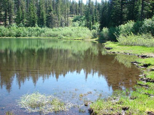
Cast Lake
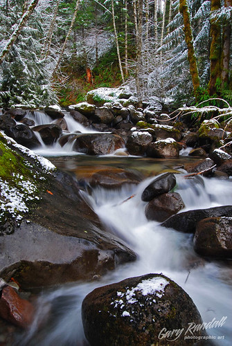
oregon creek river waterfall bouldercreek brightwood garyrandall paslide01
DSC_1695-2
water oregon portland landscape day mirrorlake pacificnorthwest blueskies portlandoregon mounthood fotodiox tomdickandharrymountain pwpartlycloudy
Mount Hood from Tom Dick and Harry
winter mountain snow oregon landscape unitedstates scenic peak rhododendron mthood lolopass mthoodnationalforest moutainpeak
Snowy Peak
longexposure winter snow ice water oregon creek river stream mthood zigzagriver landscapephotography mthoodnationalforest oregonlandscapes nikond700 joshkulla oregonlandscapephotographers joshkullaphotography
Zigzag River
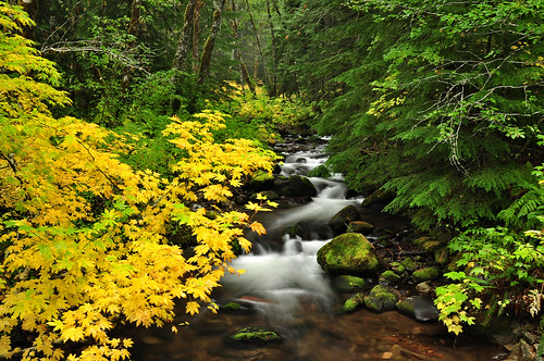
autumn oregon fallcolor vinemaple mthoodnationalforest stillcreek
Still Creek