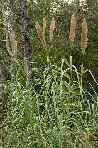
Elevation of Wee Tee Rd, Andrews, SC, USA
Location: United States > South Carolina > Georgetown County > Andrews >
Longitude: -79.717957
Latitude: 33.3908202
Elevation: 15m / 49feet
Barometric Pressure: 101KPa
Related Photos:
Topographic Map of Wee Tee Rd, Andrews, SC, USA
Find elevation by address:

Places near Wee Tee Rd, Andrews, SC, USA:
Saints Delight Rd, Andrews, SC, USA
60 Sarah Ave
Alvin
Jamestown
321 Powell Loop
Earle
1111 Millwood Loop
233 Orie Ln
233 Orie Ln
233 Orie Ln
233 Orie Ln
669 Calestown Rd
82 Cherry Hill Loop
Guilliard Lake Rd, Jamestown, SC, USA
County Rd S-22-, Georgetown, SC, USA
700 W Main St
501 W Main St
Andrews
117 Pilson Pl
501 E Main St
Recent Searches:
- Elevation of Corso Fratelli Cairoli, 35, Macerata MC, Italy
- Elevation of Tallevast Rd, Sarasota, FL, USA
- Elevation of 4th St E, Sonoma, CA, USA
- Elevation of Black Hollow Rd, Pennsdale, PA, USA
- Elevation of Oakland Ave, Williamsport, PA, USA
- Elevation of Pedrógão Grande, Portugal
- Elevation of Klee Dr, Martinsburg, WV, USA
- Elevation of Via Roma, Pieranica CR, Italy
- Elevation of Tavkvetili Mountain, Georgia
- Elevation of Hartfords Bluff Cir, Mt Pleasant, SC, USA
