Elevation of Webre Rd, Bay St Louis, MS, USA
Location: United States > Mississippi > Hancock County > Bay Saint Louis >
Longitude: -89.563473
Latitude: 30.220562
Elevation: 5m / 16feet
Barometric Pressure: 101KPa
Elevation Map:
Satellite Map:
Related Photos:

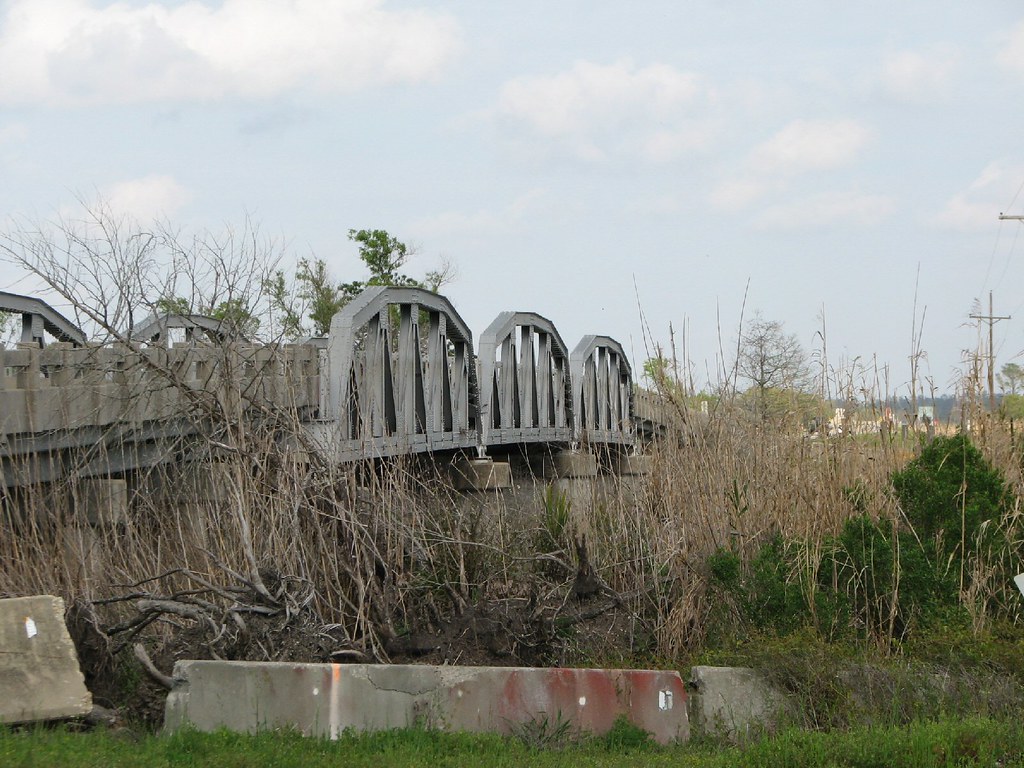
West Pearl River-Side View
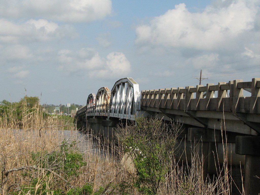
West Middle River-Side View
East Middle Pearl River-Side View
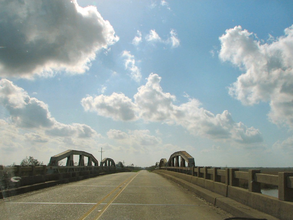
East Middle Pearl River-Deck View
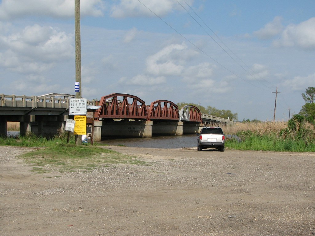
Middle Middle Pearl River-Side View
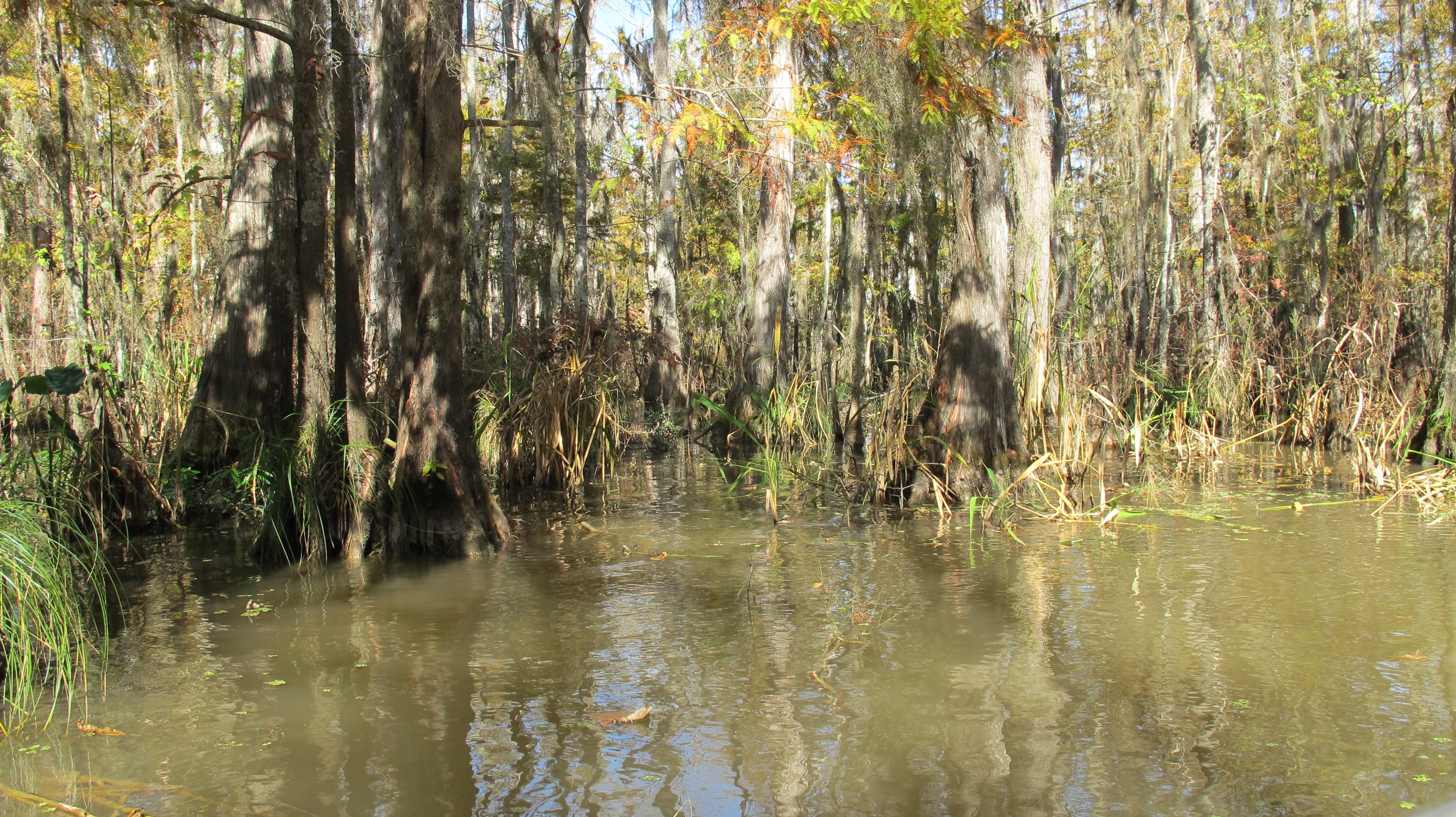
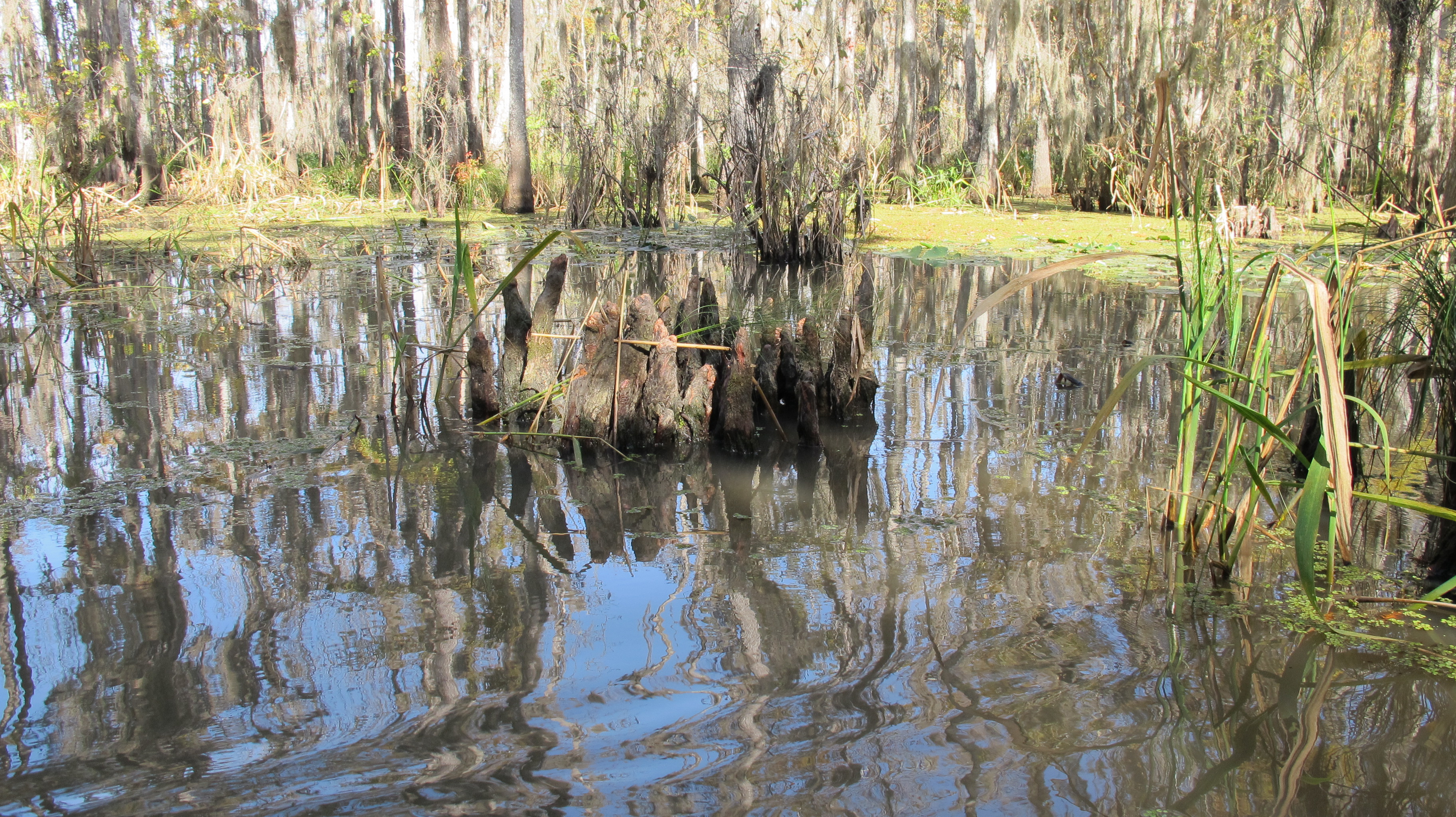
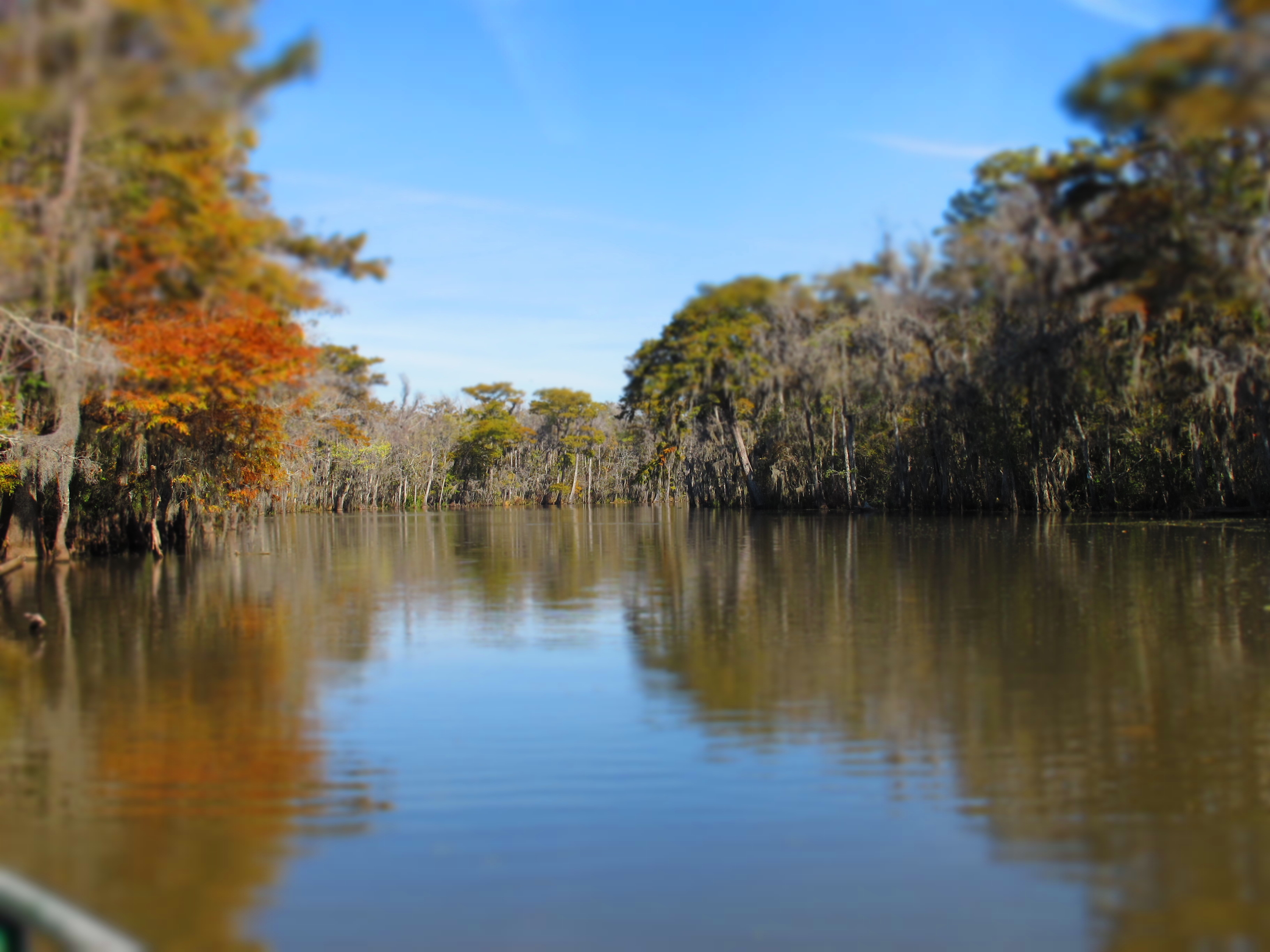
Pearl river state park...swamp, Louisiana

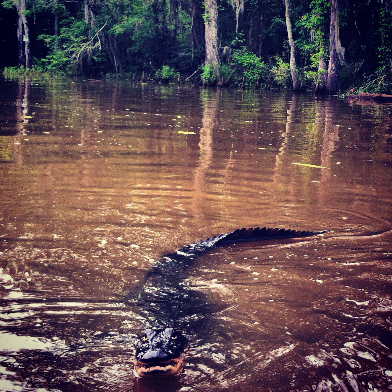
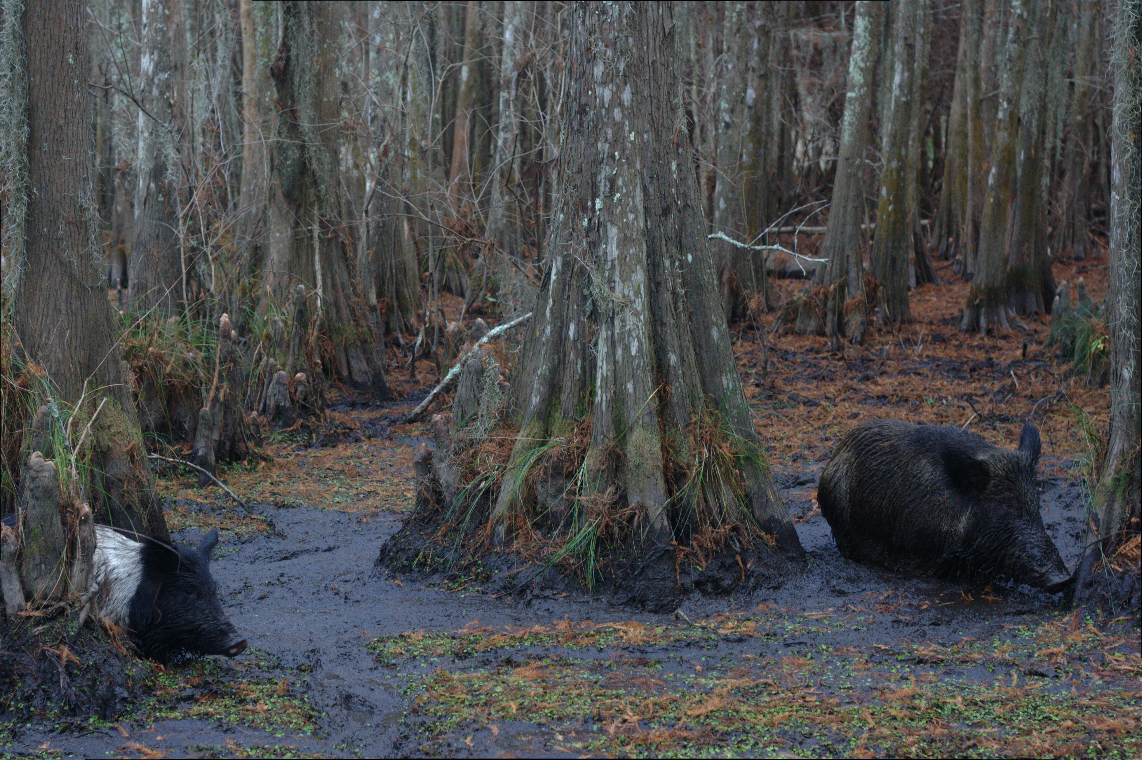
Alligator in the swamp
Swamp Happenings, LA

IMG_4008.JPG
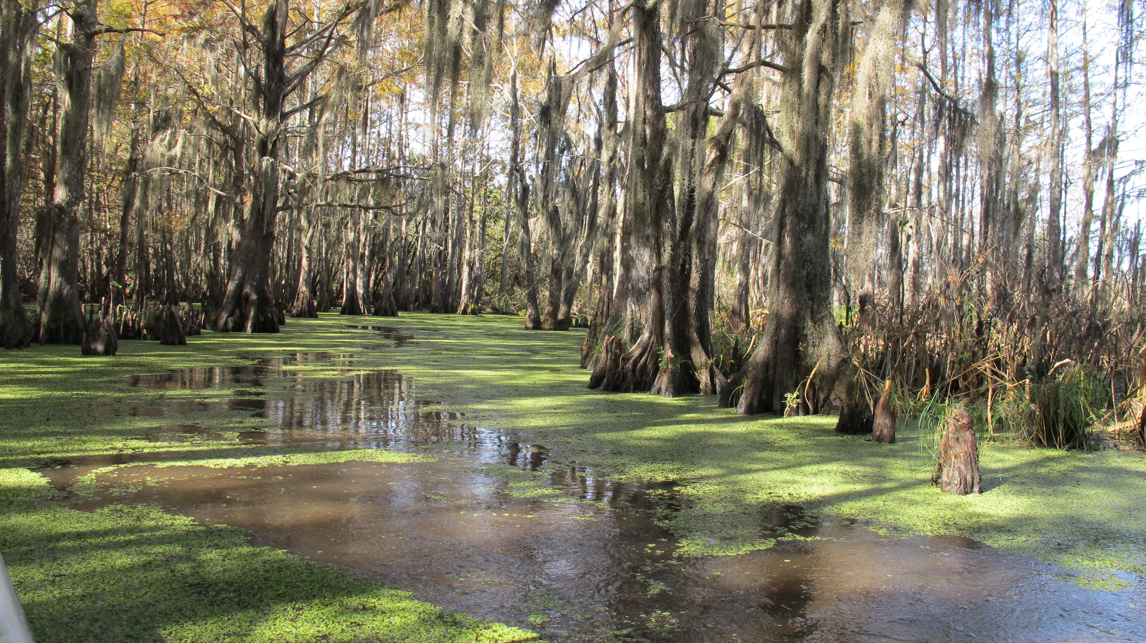
Swamp Tour
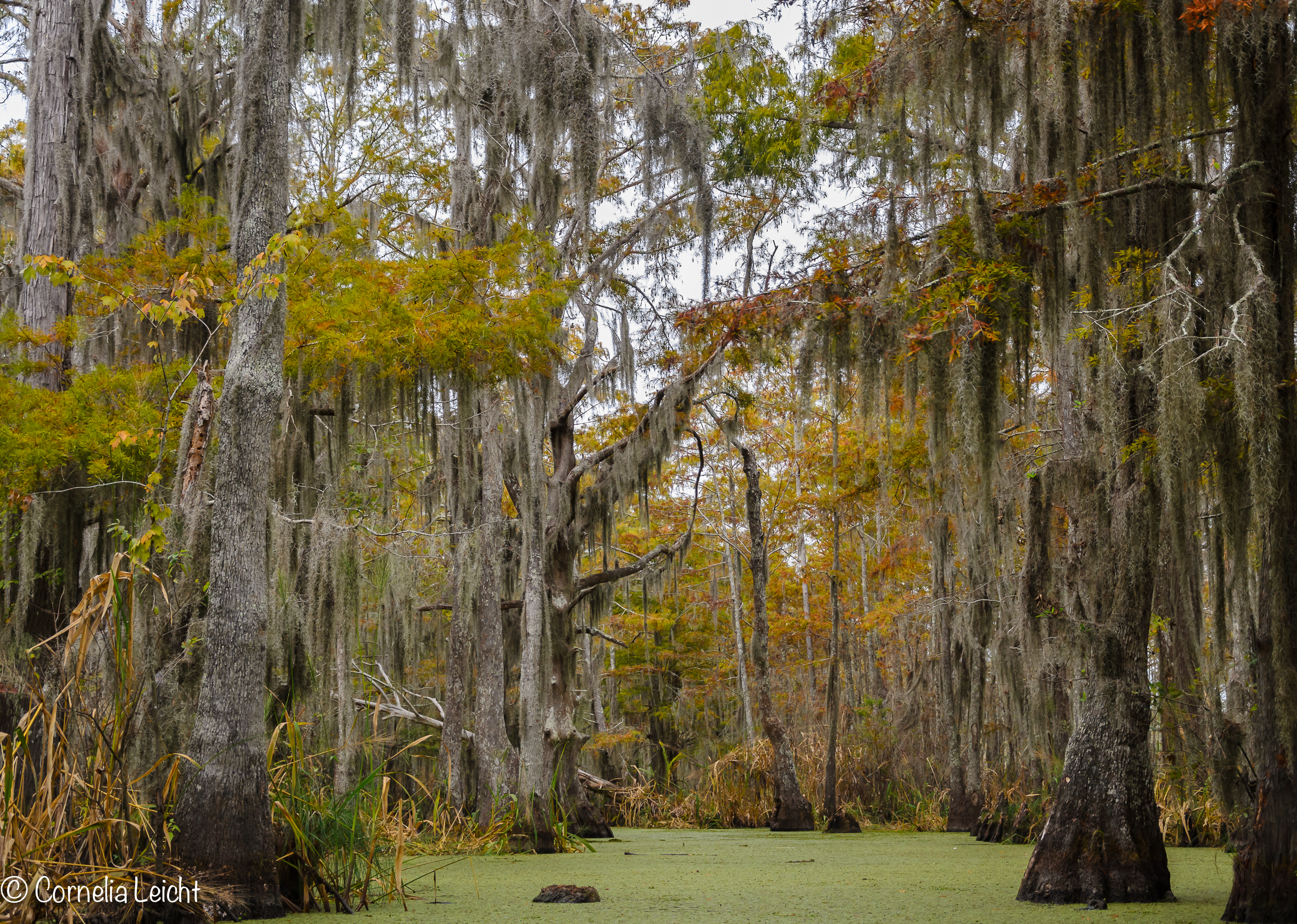
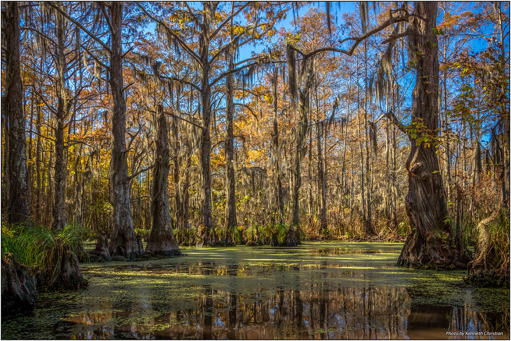
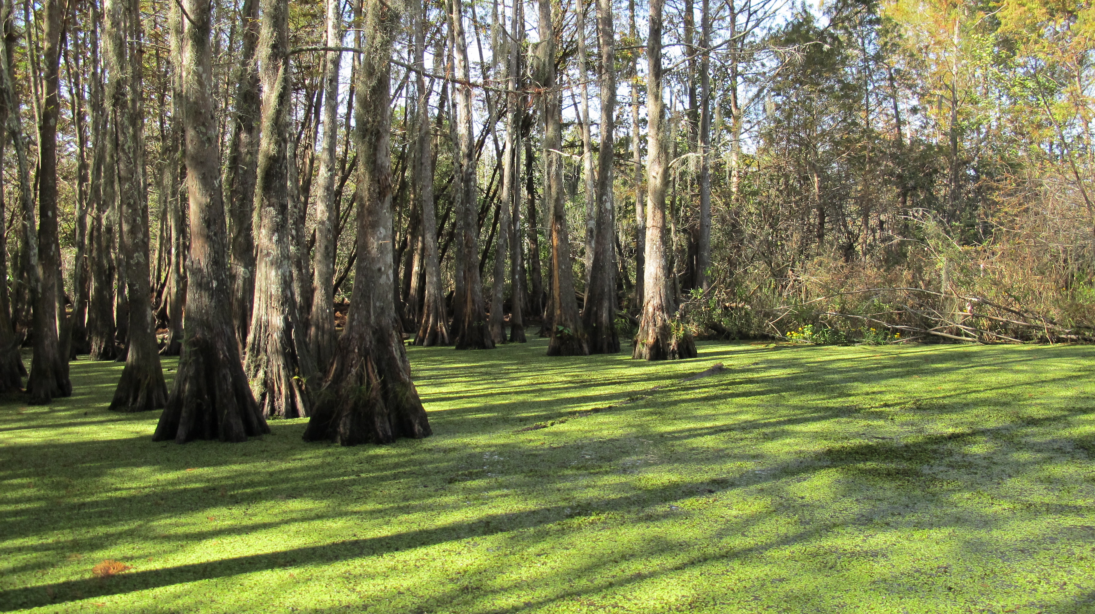
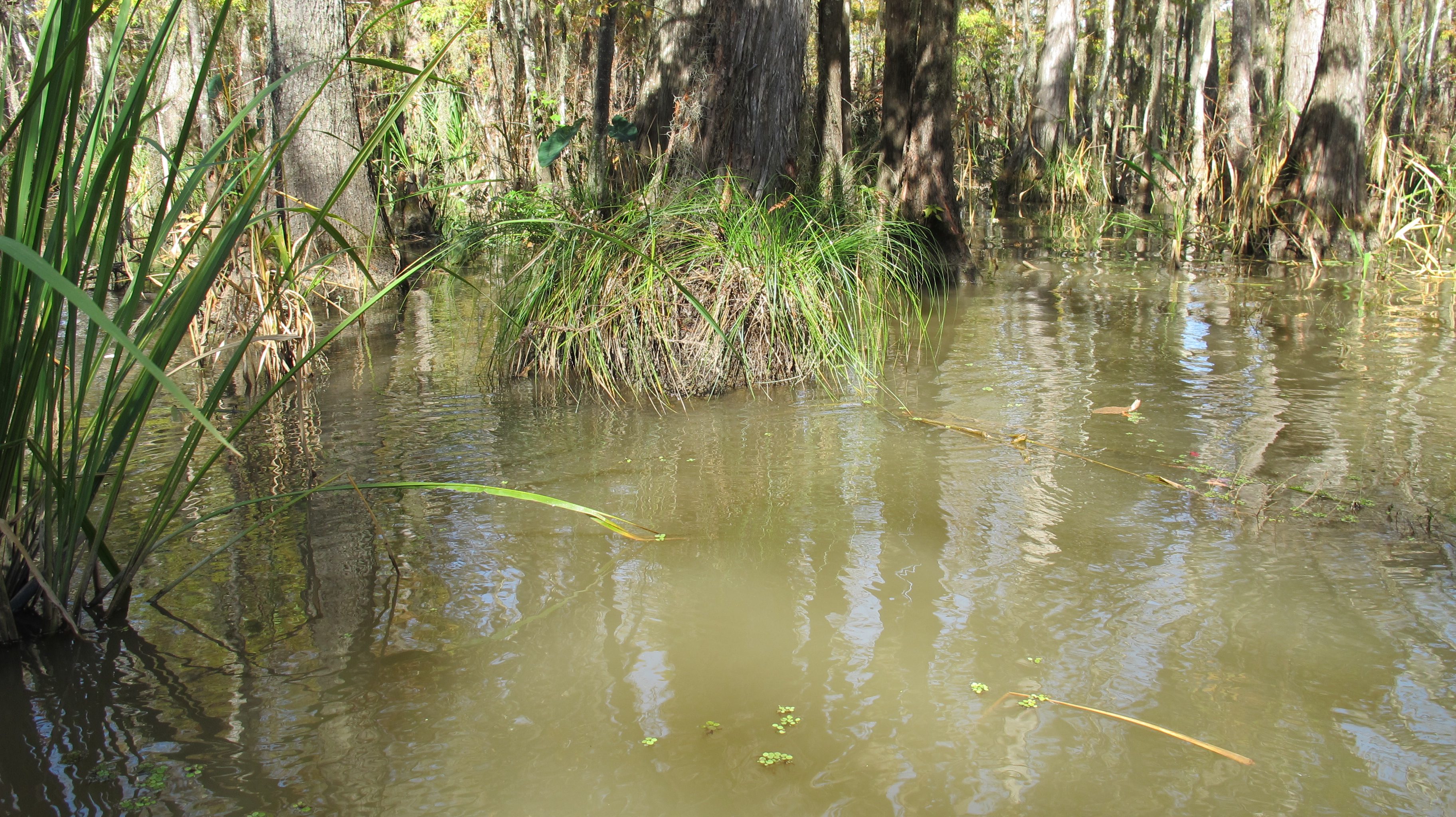
Louisiana Cypress Swamp

IMG_4019.JPG
Beasts of the southern wild
IMG_3980.JPG

Moving on down the Bayou
The Bayou

33/365 The End

IMG_3998.JPG
IMG_4023.JPG
IMG_4025.JPG

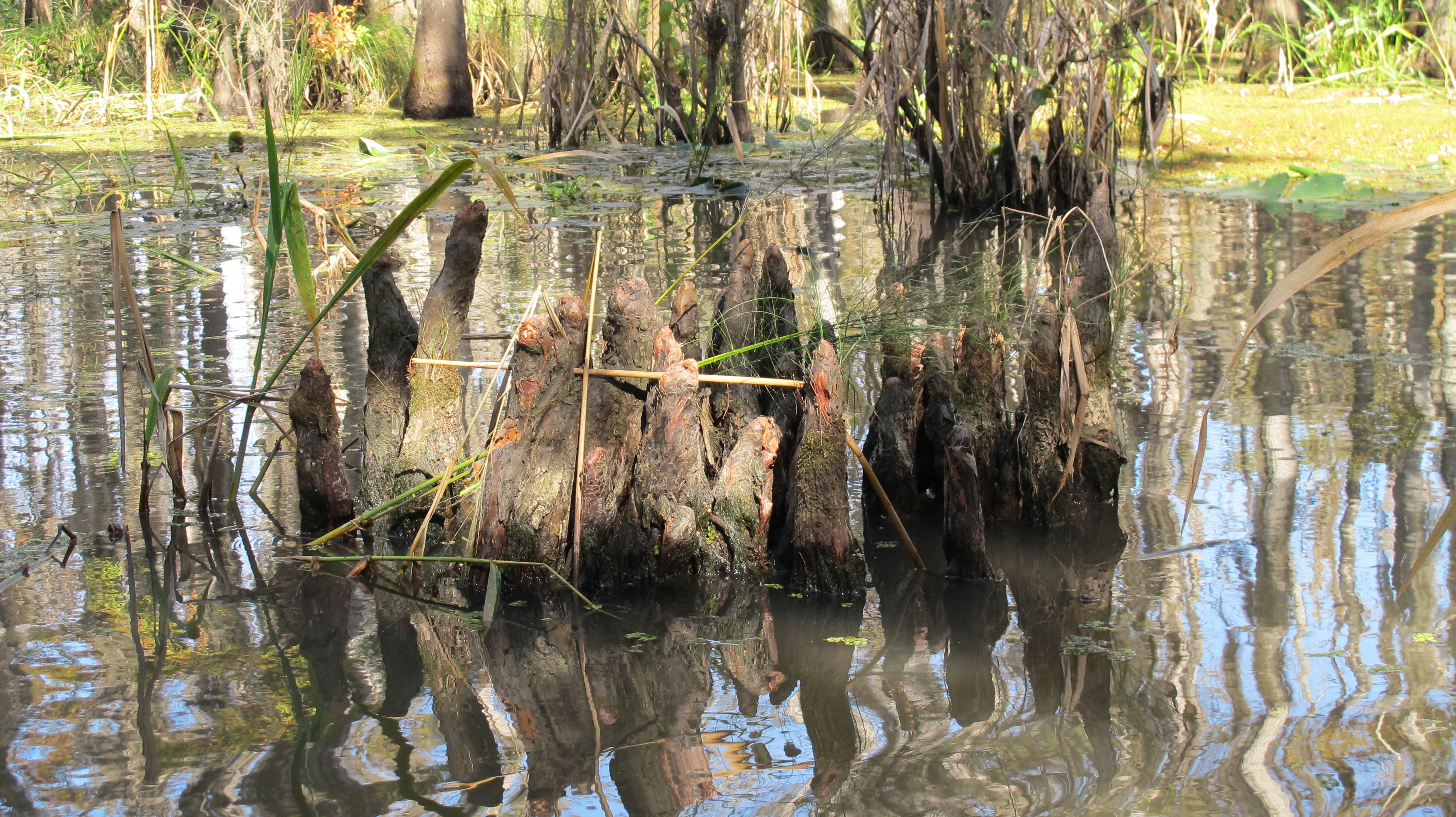
At The Swamp
IMG_3986.JPG
IMG_3987.JPG
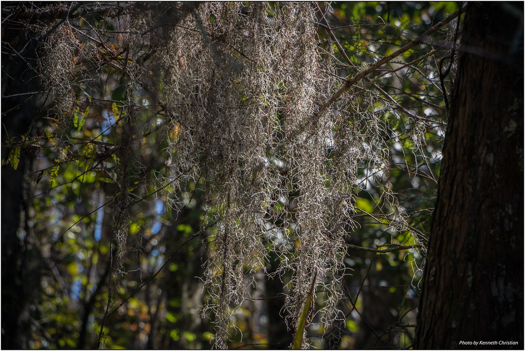
Spanish Moss on the Trees
IMG_4042.JPG
IMG_3979.JPG
Topographic Map of Webre Rd, Bay St Louis, MS, USA
Find elevation by address:

Places near Webre Rd, Bay St Louis, MS, USA:
16005 Tonga Rd
5125 Pine St
Pearlington
5089 Hancock Ave
5265 Ms-604
Tarpon Rd, Bay St Louis, MS, USA
Bay St Louis, MS, USA
Orange Street
Camp Rd, Slidell, LA, USA
6105 Rd 148
13, LA, USA
US-90, Slidell, LA, USA
7205 Tunica St
Central Ave, Bay St Louis, MS, USA
7304 Tunica St
7030 W Lafayette St
7077 W Issaquena St
Chef Menteur Hwy, Slidell, LA, USA
Silver Slipper Casino
6064 W Oktibbeha St
Recent Searches:
- Elevation of Corso Fratelli Cairoli, 35, Macerata MC, Italy
- Elevation of Tallevast Rd, Sarasota, FL, USA
- Elevation of 4th St E, Sonoma, CA, USA
- Elevation of Black Hollow Rd, Pennsdale, PA, USA
- Elevation of Oakland Ave, Williamsport, PA, USA
- Elevation of Pedrógão Grande, Portugal
- Elevation of Klee Dr, Martinsburg, WV, USA
- Elevation of Via Roma, Pieranica CR, Italy
- Elevation of Tavkvetili Mountain, Georgia
- Elevation of Hartfords Bluff Cir, Mt Pleasant, SC, USA