Elevation of Webbs Fork Rd, Arnett, WV, USA
Location: United States > West Virginia > Raleigh County > > Arnett >
Longitude: -81.432920
Latitude: 37.8038979
Elevation: 564m / 1850feet
Barometric Pressure: 95KPa
Elevation Map:
Satellite Map:
Related Photos:
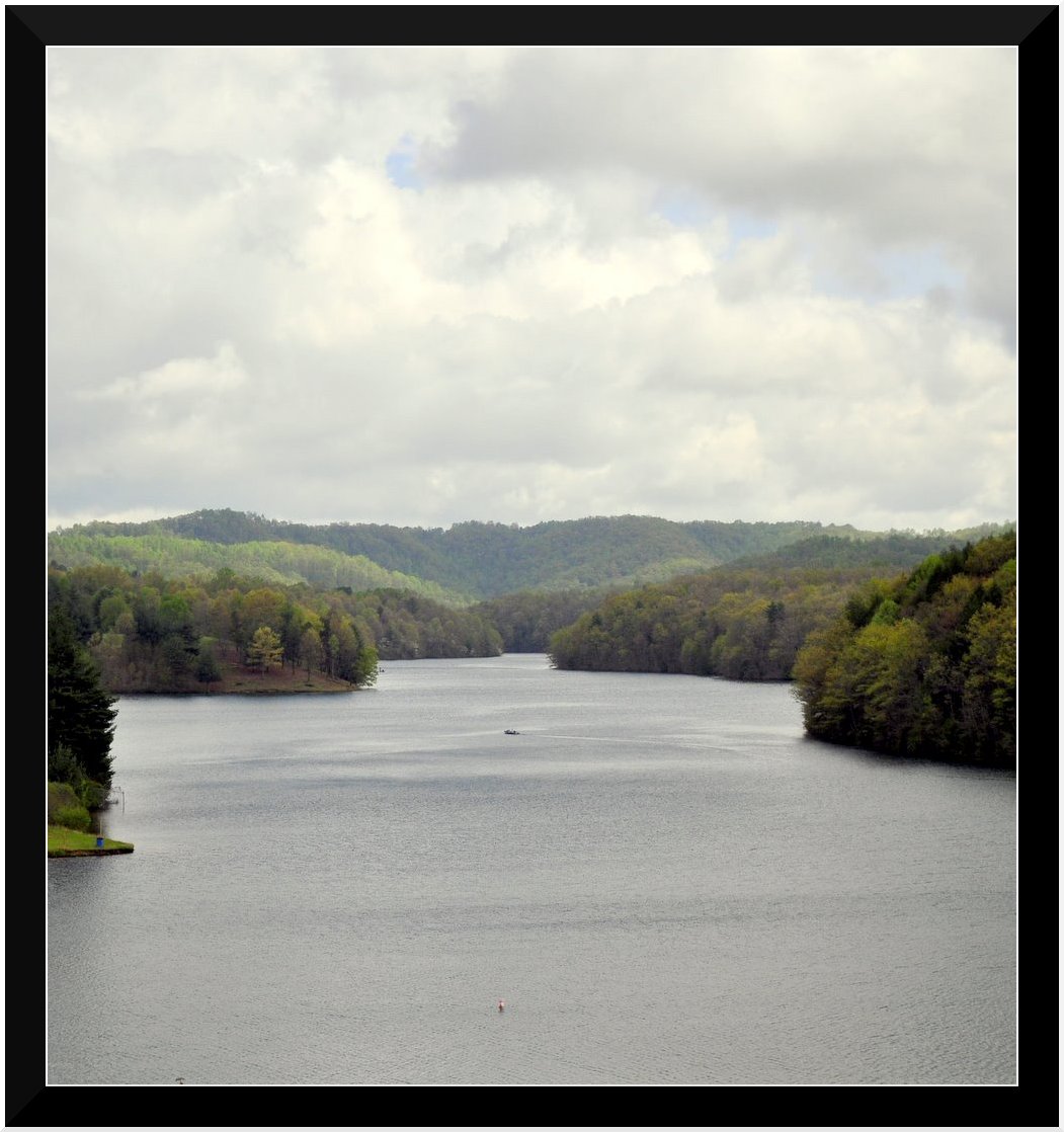
Lake Stephens
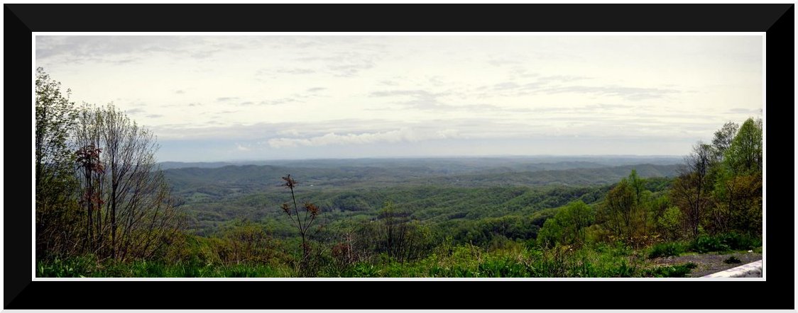
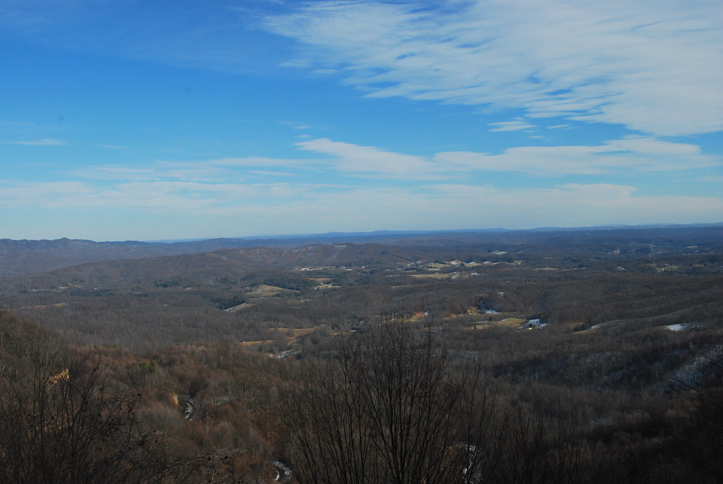
Bolt Mtn Overlook
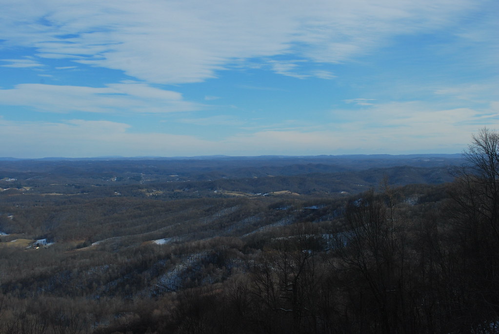
Marsh Fork Valley

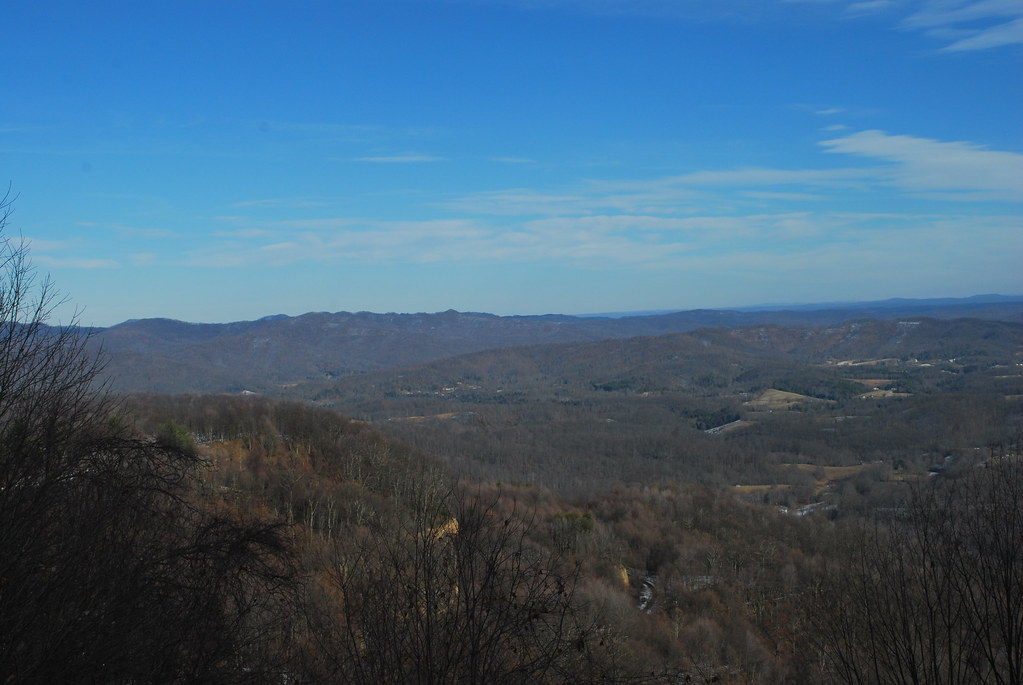
Marsh Fork Valley
Marsh Fork Valley
Marsh Fork Valley

Marsh Fork Valley
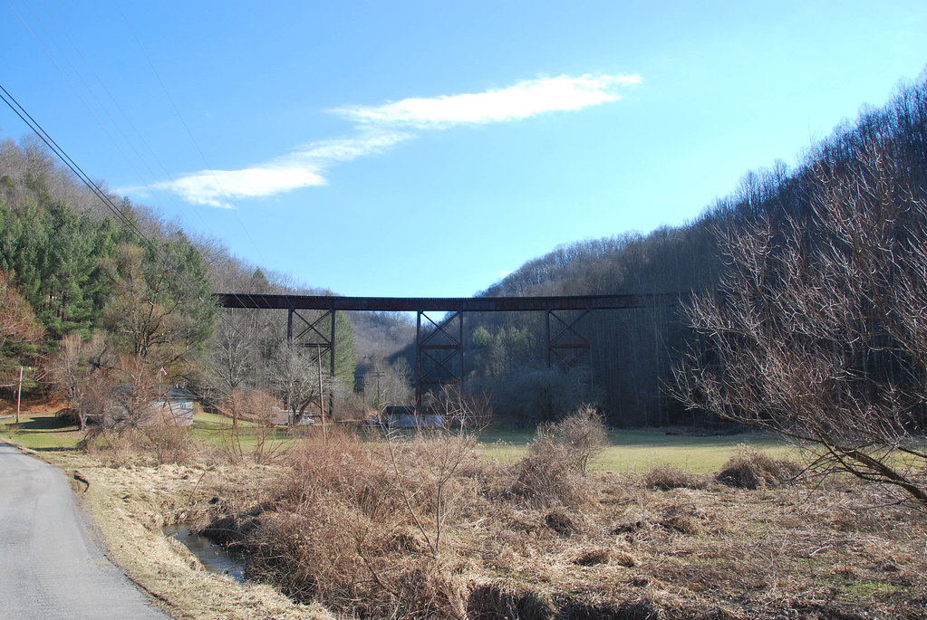
McGraws Trestle
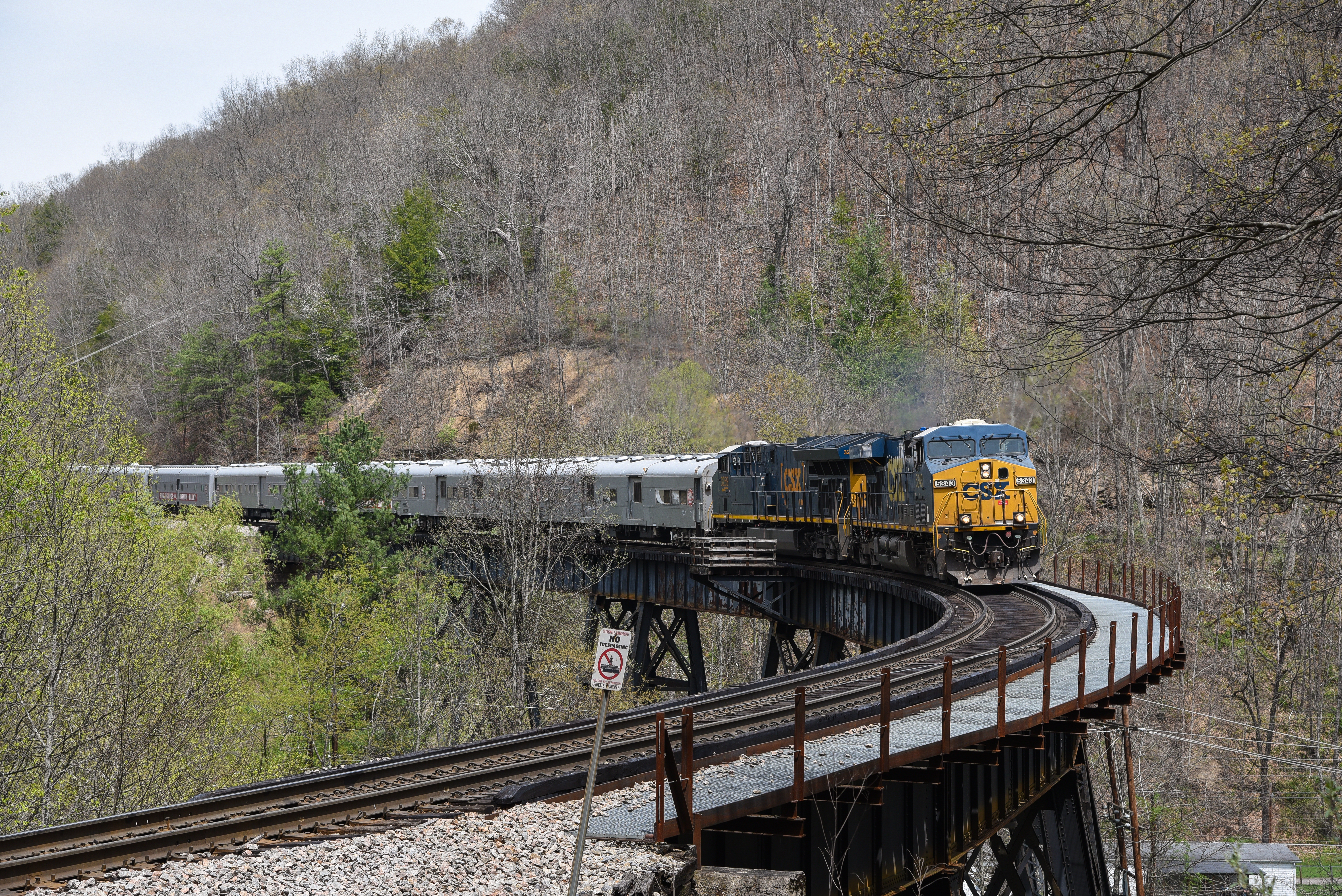
CSX on NS @ Slab Fork, WV.
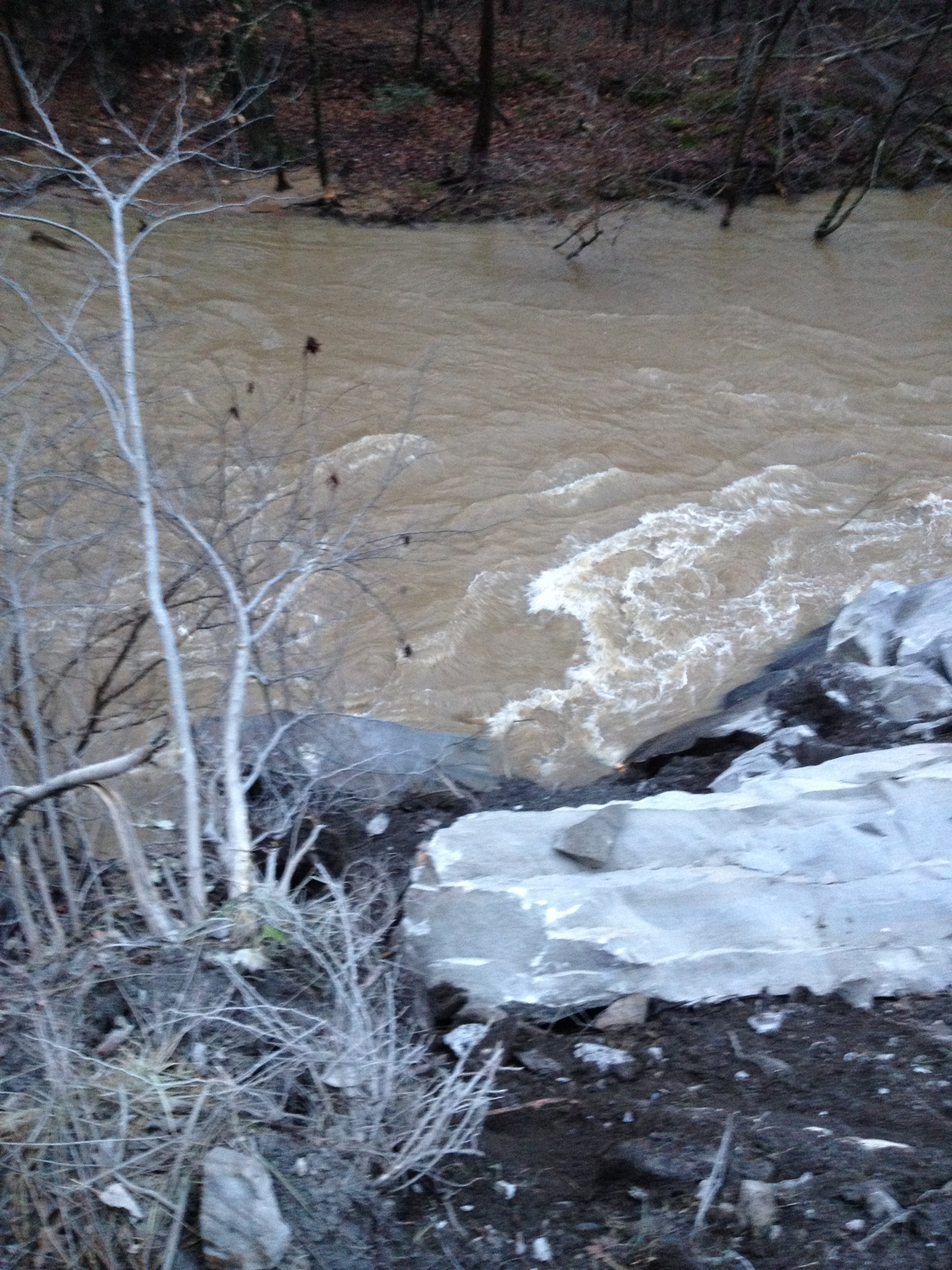
WV 3 Rockslide
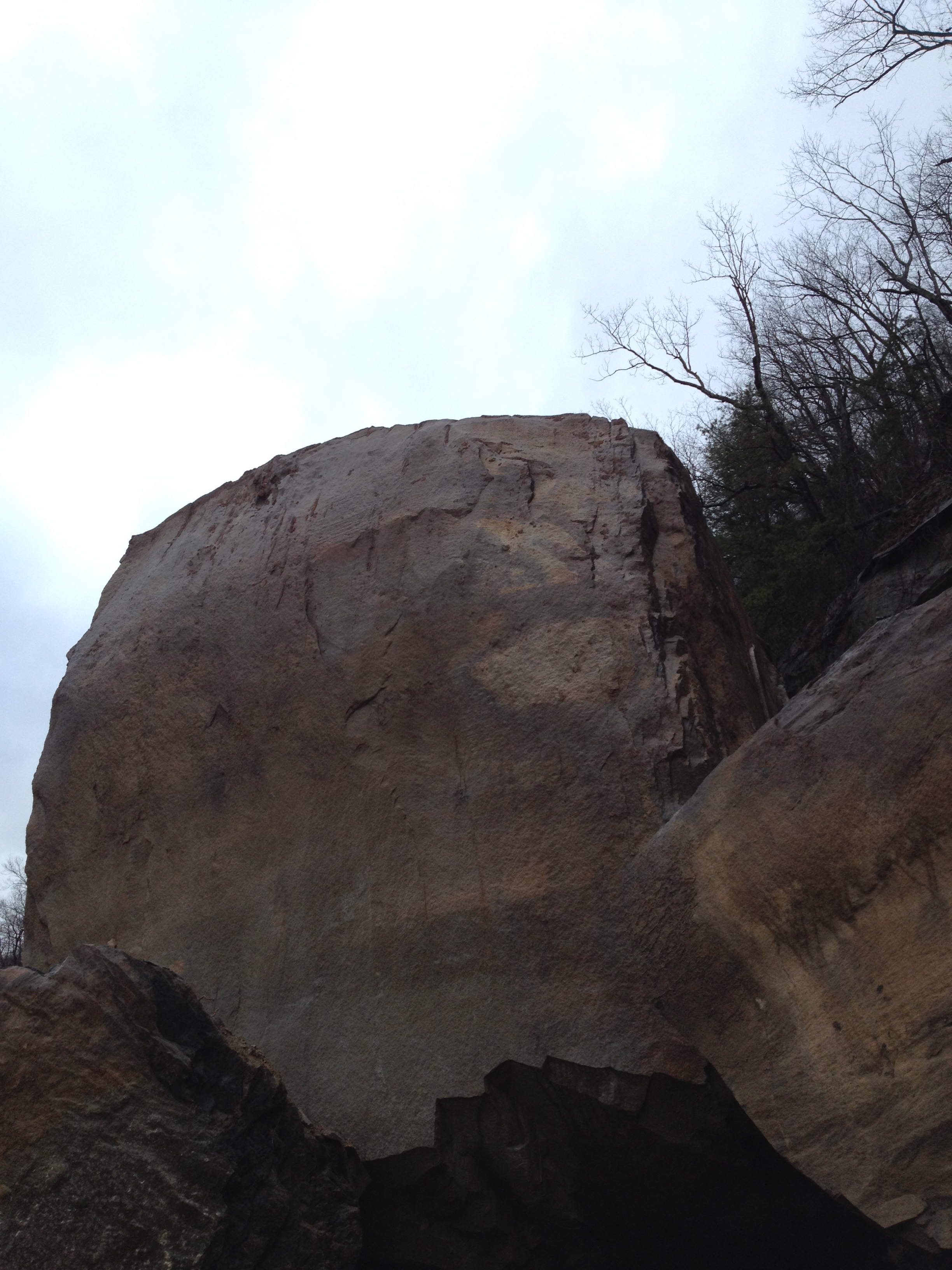
WV 3 Rockslide
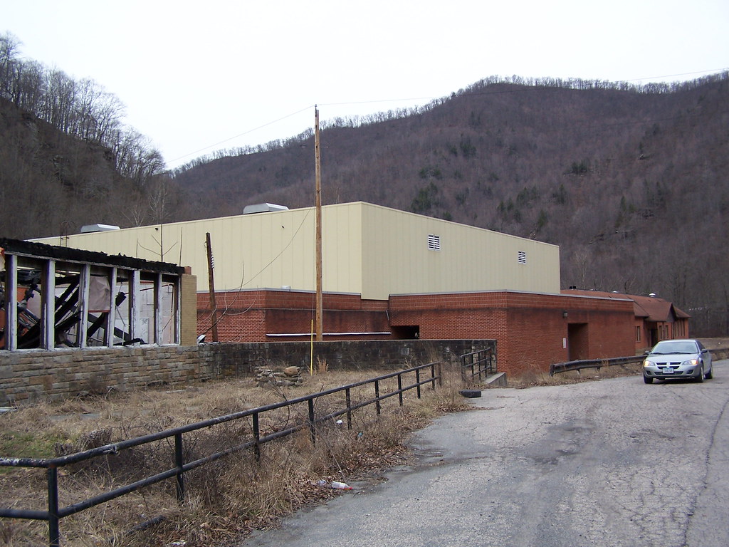
Marsh Fork High School Image 11 2-24-2007 Photo
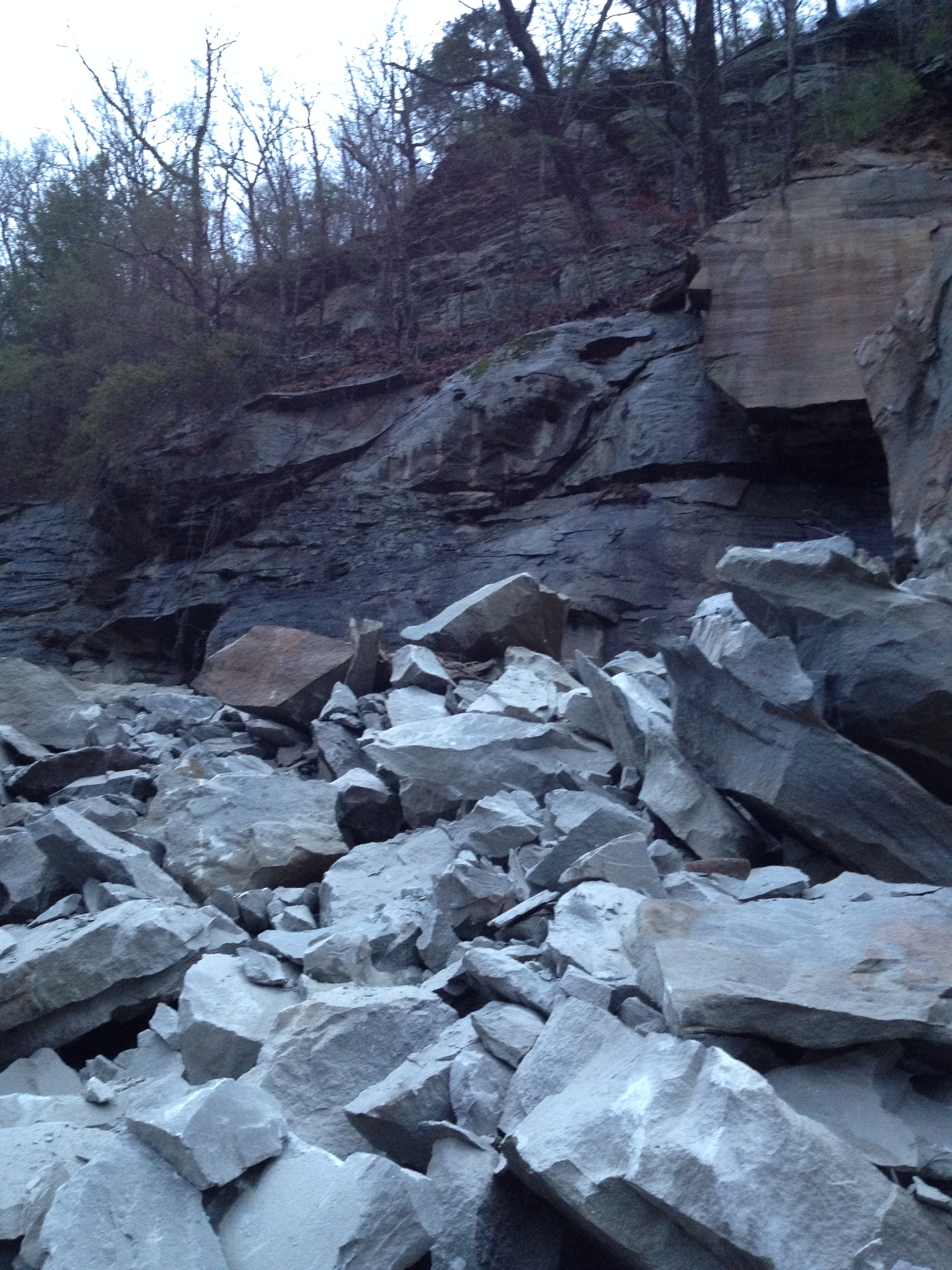
WV 3 Rockslide
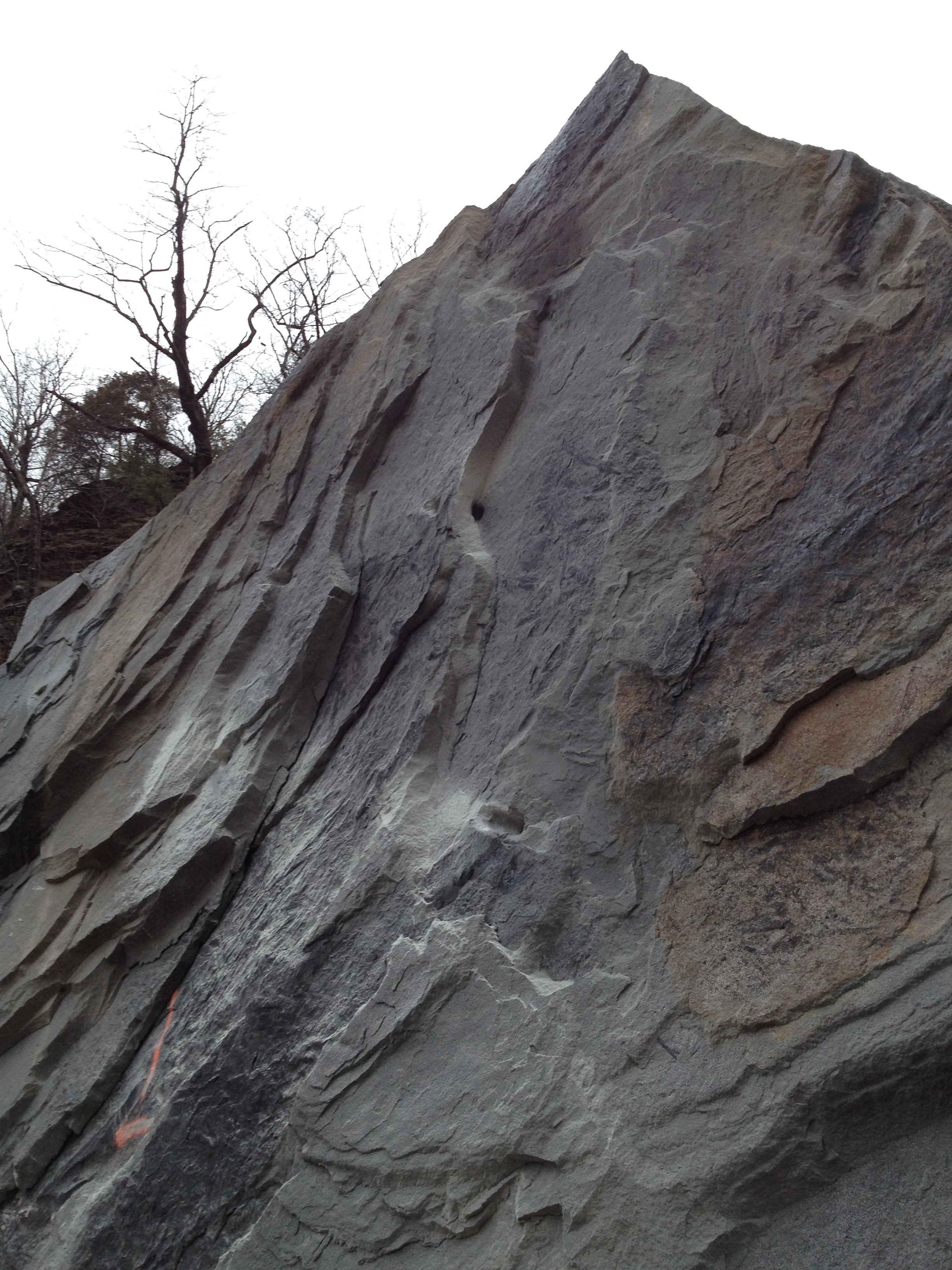
WV 3 Rockslide
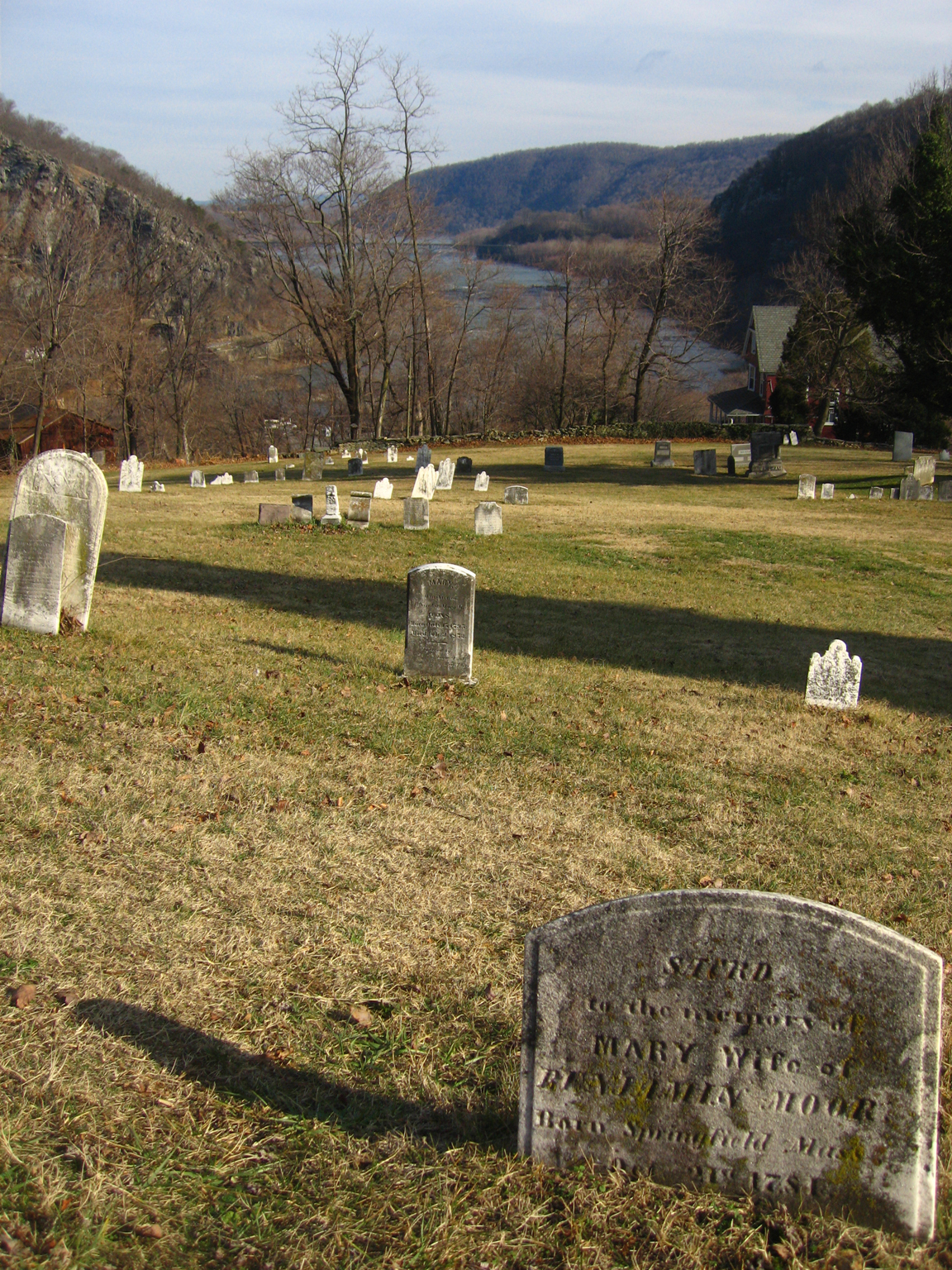
CEMENTERIO HARPER FERRY
Topographic Map of Webbs Fork Rd, Arnett, WV, USA
Find elevation by address:

Places near Webbs Fork Rd, Arnett, WV, USA:
Arnett
Coal River Rd, Arnett, WV, USA
406 Saxon Rd
Coal River Rd, Rock Creek, WV, USA
Rock Creek
Naoma
2, WV, USA
734 Horsecreek Rd
Lower Sandlick Rd, Glen Daniel, WV, USA
Kings Ct, Naoma, WV, USA
White Oak Creek Rd, Artie, WV, USA
Packsville Marfork Rd, Naoma, WV, USA
Circleview Dr, Beckley, WV, USA
Sweeneysburg Rd, Mt Hope, WV, USA
W Grizzly Ct, Whitesville, WV, USA
Paint Creek Rd, Pax, WV, USA
Mt Tabor Rd, Beckley, WV, USA
Beckley, WV, USA
510 Jamescrest Dr
Tamarack Place
Recent Searches:
- Elevation of Corso Fratelli Cairoli, 35, Macerata MC, Italy
- Elevation of Tallevast Rd, Sarasota, FL, USA
- Elevation of 4th St E, Sonoma, CA, USA
- Elevation of Black Hollow Rd, Pennsdale, PA, USA
- Elevation of Oakland Ave, Williamsport, PA, USA
- Elevation of Pedrógão Grande, Portugal
- Elevation of Klee Dr, Martinsburg, WV, USA
- Elevation of Via Roma, Pieranica CR, Italy
- Elevation of Tavkvetili Mountain, Georgia
- Elevation of Hartfords Bluff Cir, Mt Pleasant, SC, USA