Elevation of Weatherby Ct, Fulshear, TX, USA

Location: United States > Texas > Fort Bend County > Fulshear > Bradford On The Bend >

Longitude: -95.93953

Latitude: 29.664261

Elevation: 36m / 118feet

Barometric Pressure: 101KPa

Elevation Map:

elevation map of Weatherby Ct, Fulshear, TX, USA

Satellite Map:

Satellite map of Weatherby Ct, Fulshear, TX, USA

Related Photos:

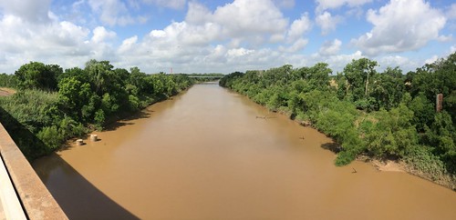
panorama river photostream brazosriver fortbendcounty simontontexas orchardtexas iphoneography simontontx
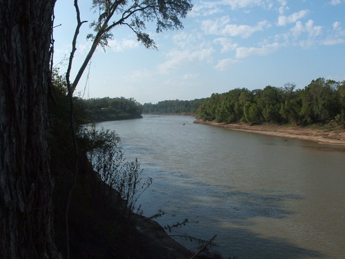
The muddy waters of the Brazos River
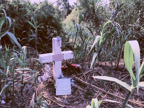
murder photostream brazosriver fortbendcounty stevencarrington coreybrooks stevencarringtonorchardtexas teketriabuggs
Who is Corey Brooks?
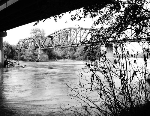
through truss railroad train bridge brazosriver sealy brookshire wallercounty texas interstate10 black white blackandwhite blackwhite bw b w missouri kansas union pacific austin county pontist united states north america
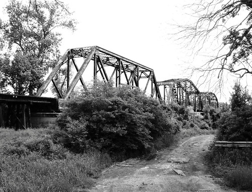
Railroad Bridge over Brazos River at Brookshire, Texas 1113091035BW
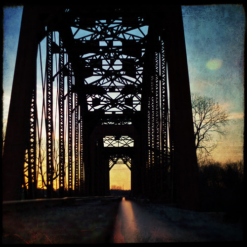
railroad bridge sunset train tracks rusty textured explored yeahtwo ihadtowalkpasttwodeaddogstogettothisspot
lingering recollections
sealy austincounty texas frydek brazosriver railroad train bridge truss throughtruss missouri kansas union pacific austin county pontist united states north america
Railroad Bridge over Brazos River at Sealy, Texas 0410101124
sealy austincounty texas frydek brazosriver railroad train bridge truss throughtruss black white bw blackwhite blackandwhite missouri kansas union pacific austin county pontist united states north america
Railroad Bridge over Brazos River at Sealy, Texas 0410101127BW
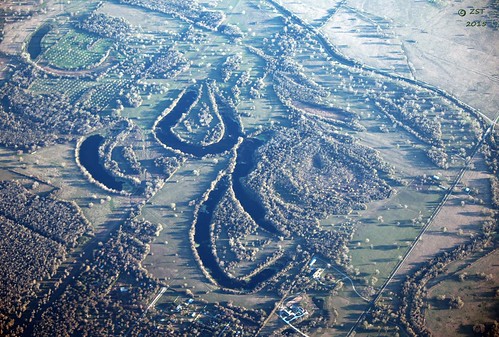
abandonedriverway aerial aerialview brotoiah brownsvilletohouston commercialflight flight formerlybrazosriver fortbendcountylineroad huntroad lake oxbowlake texas unitedairlines vacation viewedfromabove windowseat zeesstof
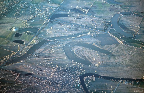
Ox-bow Lakes & Evening Shadows
uploaded:by=flickstagram instagram:photo=195053695487816166652923
Party time at the ranch
vacation lake geotagged texas flight aerialview aerial windowseat oxbowlake zeesstof sanjosédelcabotohouston
The Brazos Was 'Ere
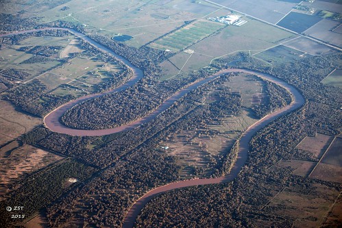
vacation river geotagged texas flight aerialview aerial windowseat brazosriver zeesstof sanjosédelcabotohouston
Brazos River Meanders
uploaded:by=flickstagram instagram:photo=194977319921496939652923
Chuck is a duck. This is...
square lofi squareformat iphoneography instagramapp uploaded:by=instagram foursquare:venue=4c83008647cc224beedf8b9f
What an amazing day, just take a look at this Big Texas Sky!
100mm 2013 eos5dmarkiii february mabrycampbell sealybridgebridge tx texas us usa unitedstates unitedstatesofamerica wallercounty bridge countryside image iron landscape metal onthetracks photo photograph photographer photography railroad rails railsroad tie ties tracks truss trusses wood f56 march march32013 201303030h6a0780 ¹⁄₁₀₀₀sec 100 ef100mmf28lmacroisusm fav10 fav20
Sealy Brdge I
wood railroad bridge usa metal ties landscape photography march countryside us photo iron texas photographer unitedstates image tx unitedstatesofamerica tracks tie 100mm photograph rails 100 february f56 trusses truss fav10 onthetracks 2013 wallercounty railsroad ¹⁄₈₀₀sec eos5dmarkiii ef100mmf28lmacroisusm mabrycampbell march32013 sealybridgebridge 201303030h6a0783
Sealy Bridge III
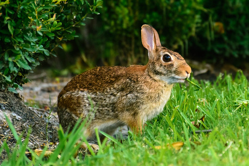
lawn grass eating snack meal fur bermudagrass staugustinegrass green brown nikon houston area greaterhouston texas tx d7100 nikond7100 wyattmartin urban suburban city
Who Needs a Lawn Mower?
wood railroad bridge usa metal ties landscape photography march countryside us photo iron texas photographer unitedstates image tx unitedstatesofamerica tracks tie 100mm photograph rails 100 february f56 trusses truss onthetracks 2013 wallercounty railsroad ¹⁄₁₀₀₀sec eos5dmarkiii ef100mmf28lmacroisusm mabrycampbell march32013 sealybridgebridge 201303030h6a0781
Sealy Bridge II
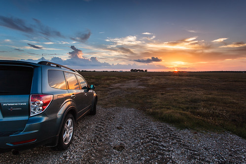
canon photography texas canonef1740mmf4lusm productphotography texastowns texaslandscapes orchardtexas singhraylbwarmingpolarizerfilter adobephotoshoplightroom4
Subaru Forester Sunset - Orchard, Texas
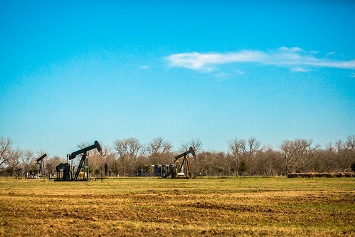
sky usa industry rural photography march countryside us photo energy pumps texas photographer unitedstates image tx unitedstatesofamerica country bluesky wells 100mm gas well photograph srp oil 100 february f28 noddingdonkey oilwells oilwell pumpjack sealy reciprocating pumpingunit 2013 beampump jackpump thirstybird gaswells austincounty grasshopperpump horseheadpump ¹⁄₈₀₀₀sec eos5dmarkiii ef100mmf28lmacroisusm suckerrodpump mabrycampbell march32013 overgrounddrive reciprocatingpistonpump 201303030h6a0878
Gas Field With Pumps
sky thunderstorm landscape clouds texas
Rosenberg Thunderstorm 170810
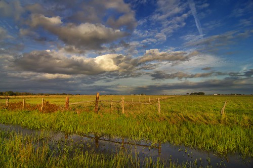
sunset clouds texas dusk woodenfence prairie fenceposts simonton fortbendcounty simontontexas fortbendcountytexas
Prairie Fences
square squareformat iphoneography instagramapp uploaded:by=instagram
#sunsets #godspaintings #katytx
noflash hipstamatic robotoglitterlens canocafenolfilm
The Heritage Ranch
Camporee Nov 11, 2007 020
traintracks trains locomotive
. . . on down to San Antone . . .
pipeline wire suspension bridge brazos river texas fm 1489 simonton wallis fort bend county supports lost steel girder united states north america
Pipeline Suspension Bridge over the Brazos, Wallis, Texas 1408231204
sunset reflection clouds texas katy dusk suburbia bayou swamp wetland katytexas swampland buffalobayou suburbanencroachment
Buffalo Bayou Sunset
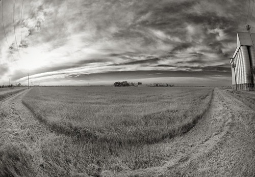
blackandwhite field clouds texas katy fisheye katytexas grassfield brookshire ricesilo wallercounty brookshiretexas wallercountytexas
Grass Curve
square squareformat iphoneography instagramapp uploaded:by=instagram foursquare:venue=4dcff80052b1f8915bbc17f6
I've forgotten how beautiful this place could be.
uploaded:by=flickrmobile flickriosapp:filter=peacock peacockfilter
Dusk!
uploaded:by=flickrmobile flickriosapp:filter=nofilter
Dusk!
square squareformat iphoneography instagramapp uploaded:by=instagram foursquare:venue=4da2369cc6e96ea8ce33d15d
#godspaintings
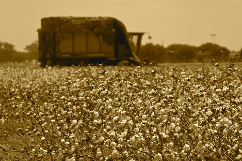
Cotton harvest, Austin County TX