Elevation of Wayside Rd, Stuart, VA, USA
Location: United States > Virginia > Stuart >
Longitude: -80.246816
Latitude: 36.5826035
Elevation: 363m / 1191feet
Barometric Pressure: 97KPa
Elevation Map:
Satellite Map:
Related Photos:

VA 8 North approaching VA 103

Rear view

2879 Rock Spring Plantation Img_21036

View from Above

Current view. #lambstock2016

Stayed at a treehouse

One Old Chevy

2893 Tobacco Barn Img_21048

Storm over the Orchard

Dan River at the Flippin Road bridge

Pretty evening

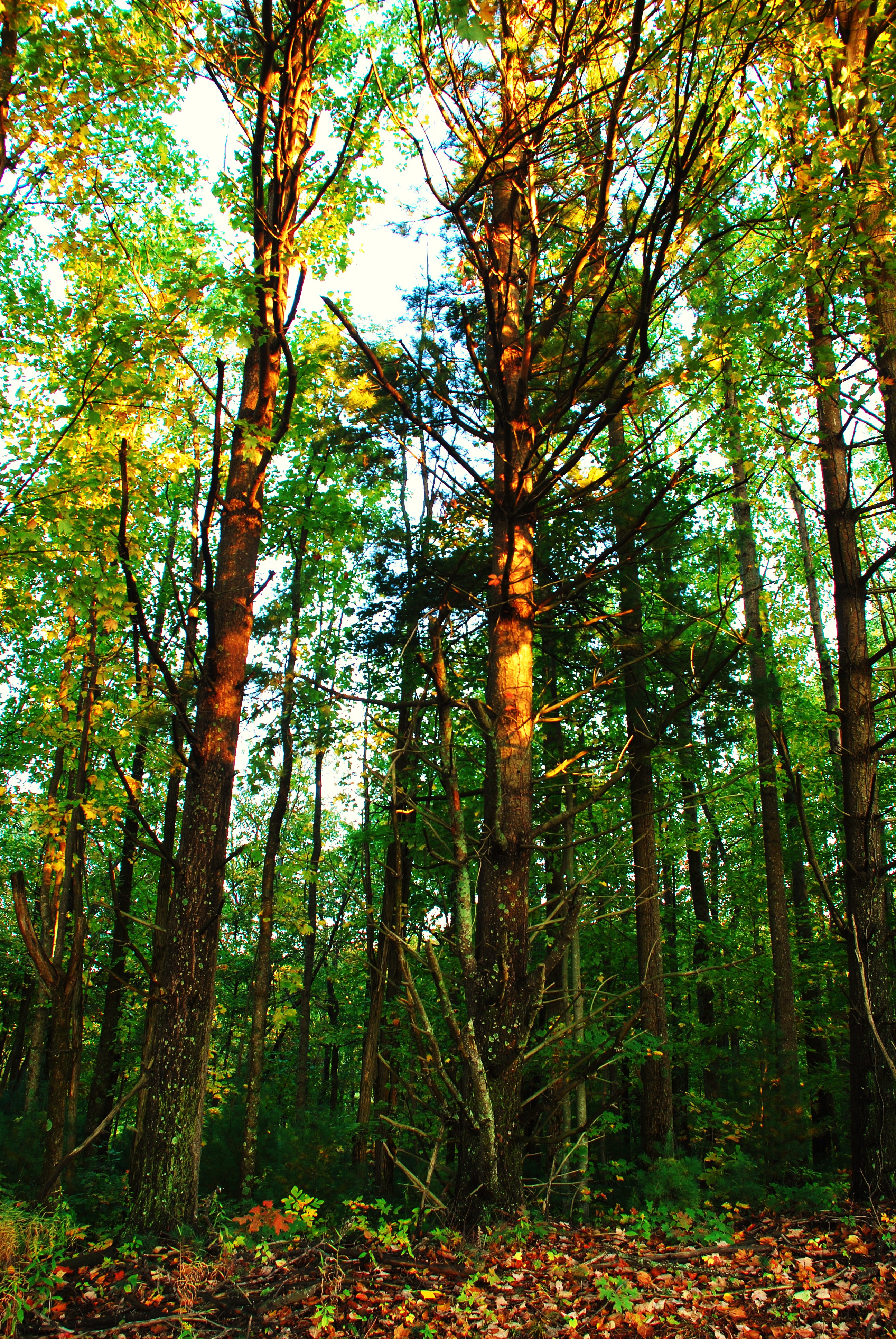
Tree's

Tree's
Tree's

2012-11-11 11.32.50.jpg
Topographic Map of Wayside Rd, Stuart, VA, USA
Find elevation by address:

Places near Wayside Rd, Stuart, VA, USA:
1648 Shingle Shop Rd
Fairview Pentecostal Holiness Church
6032 Salem Hwy
265 Lottie Ln
Peters Creek
Commerce Drive
1394 Poplar Dr
South Mayo Drive
Stuart
Ashby Drive
120 Robertson Dr
105 Hillcrest St
Doctor Kay Lane
429 Still Meadow Ln
6918 Jeb Stuart Hwy
6918 Jeb Stuart Hwy
353 Barnes Ln
103 Mountain View Heights
1190 Dobyns Rd
Carter Mountain
Recent Searches:
- Elevation of Corso Fratelli Cairoli, 35, Macerata MC, Italy
- Elevation of Tallevast Rd, Sarasota, FL, USA
- Elevation of 4th St E, Sonoma, CA, USA
- Elevation of Black Hollow Rd, Pennsdale, PA, USA
- Elevation of Oakland Ave, Williamsport, PA, USA
- Elevation of Pedrógão Grande, Portugal
- Elevation of Klee Dr, Martinsburg, WV, USA
- Elevation of Via Roma, Pieranica CR, Italy
- Elevation of Tavkvetili Mountain, Georgia
- Elevation of Hartfords Bluff Cir, Mt Pleasant, SC, USA