Elevation of Waynesburg, KY, USA
Location: United States > Kentucky > Lincoln County >
Longitude: -84.671611
Latitude: 37.3328559
Elevation: 372m / 1220feet
Barometric Pressure: 97KPa
Elevation Map:
Satellite Map:
Related Photos:
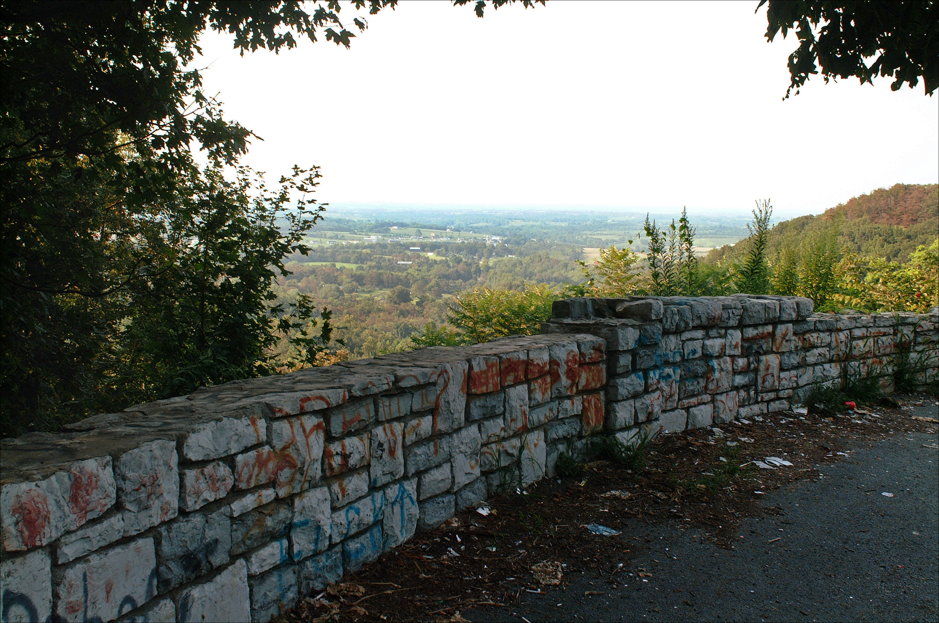
Hall's Gap overlook

Views from Home
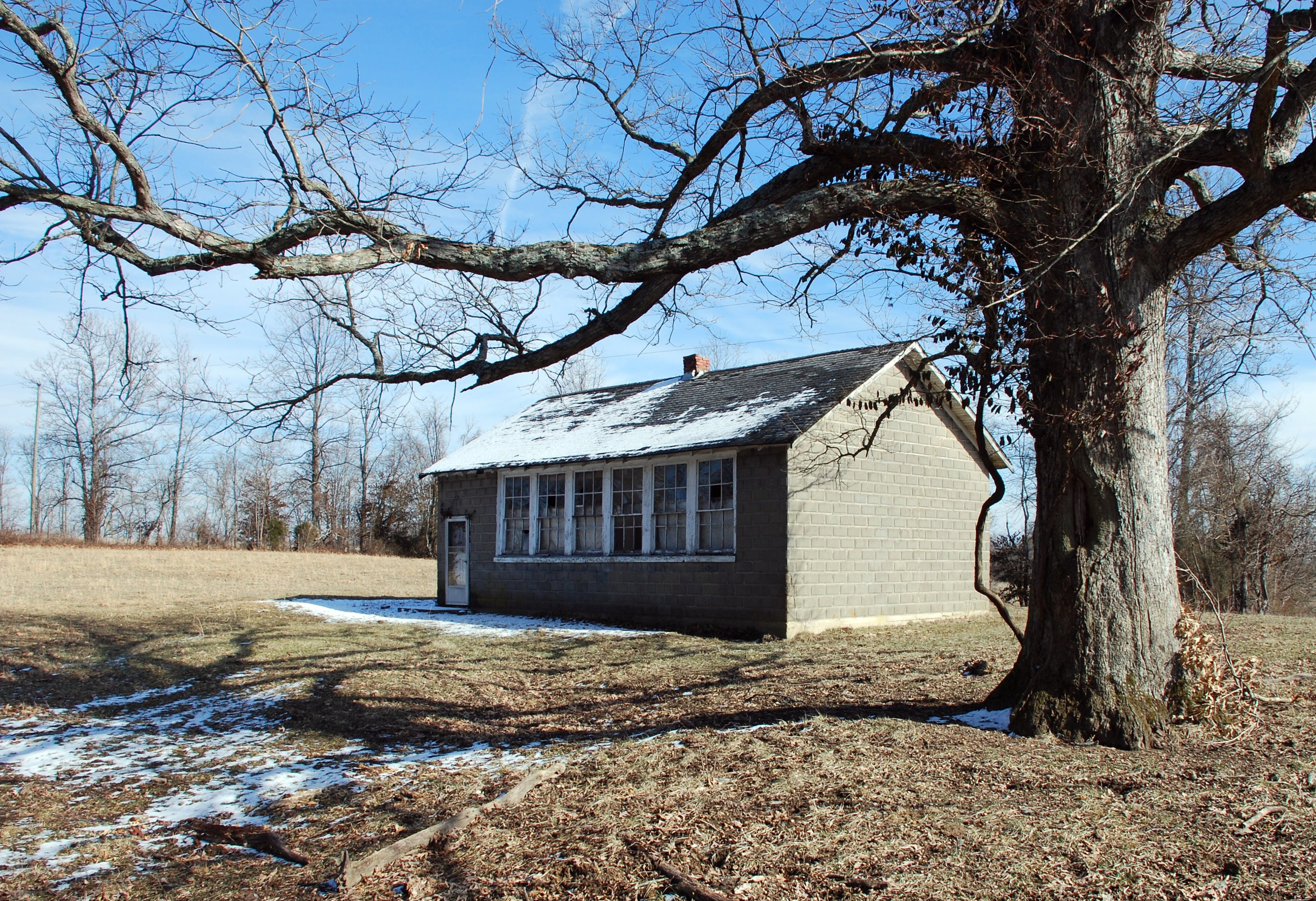
Duncan School
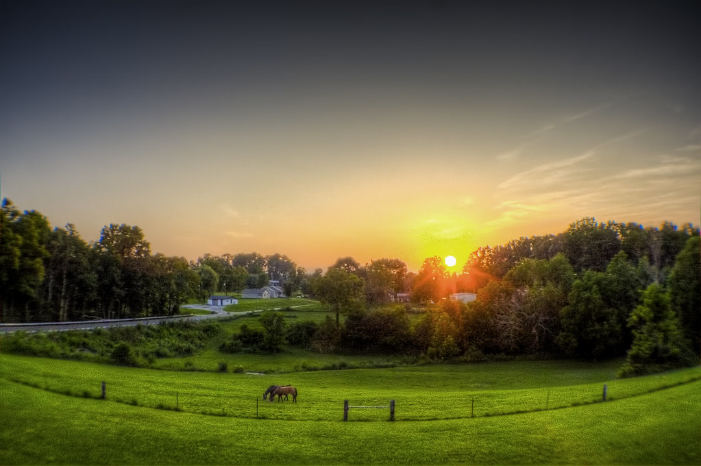
Kentucky Sunset

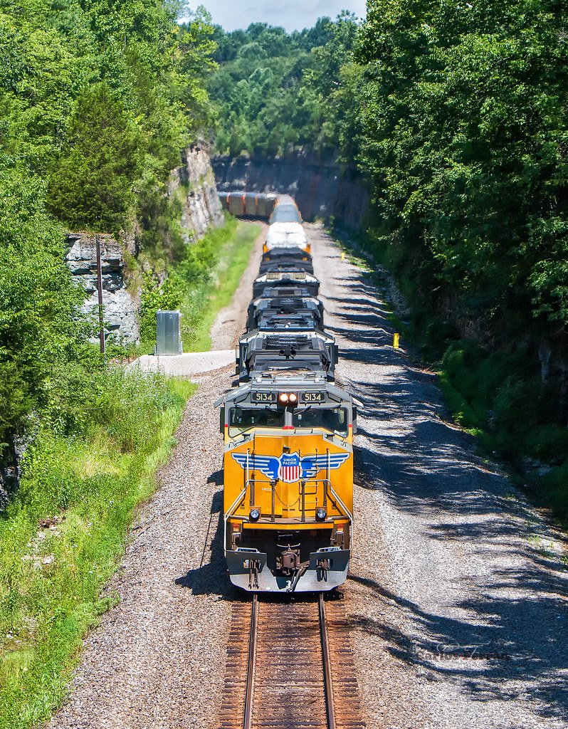
NS Train 133

NS Train 22A

NS Train 055

NS Train 055

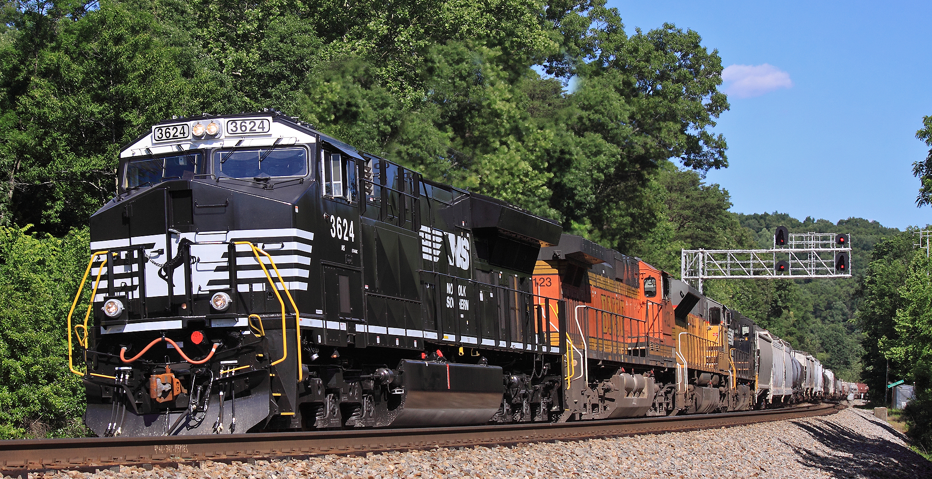
NS 4271 at Kings Mountain, KY
A Cut Above
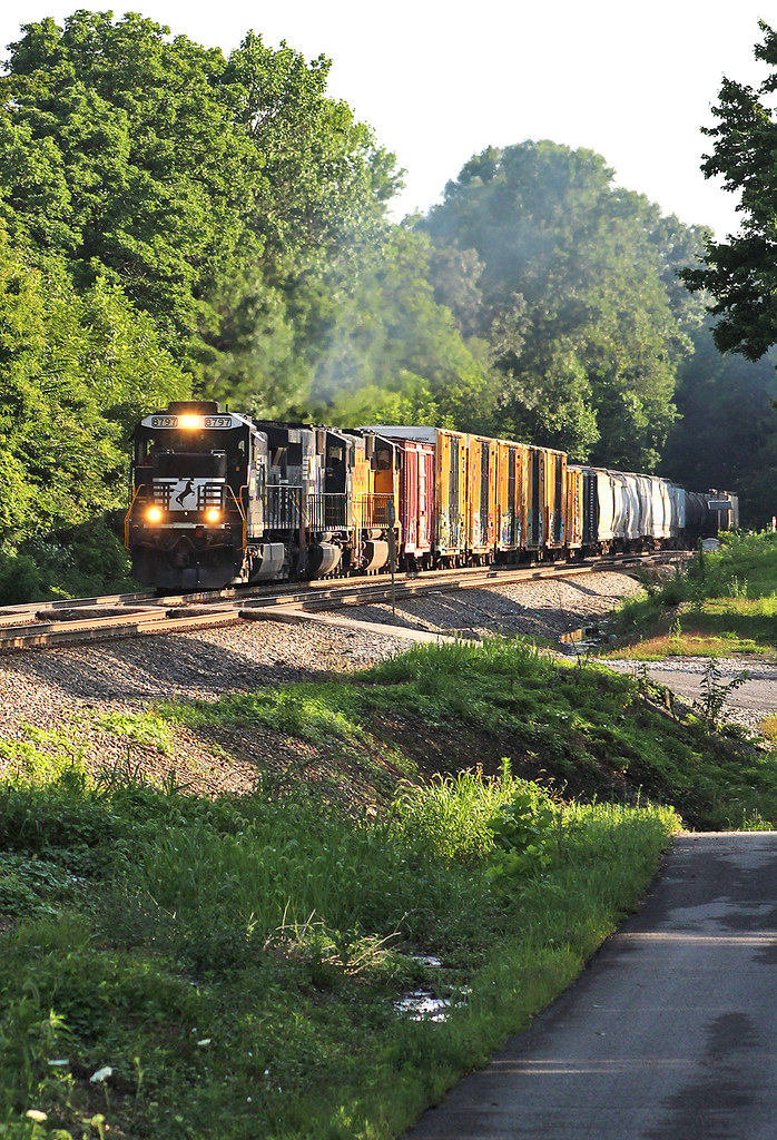
NS 177 at Waynesburg, Ky
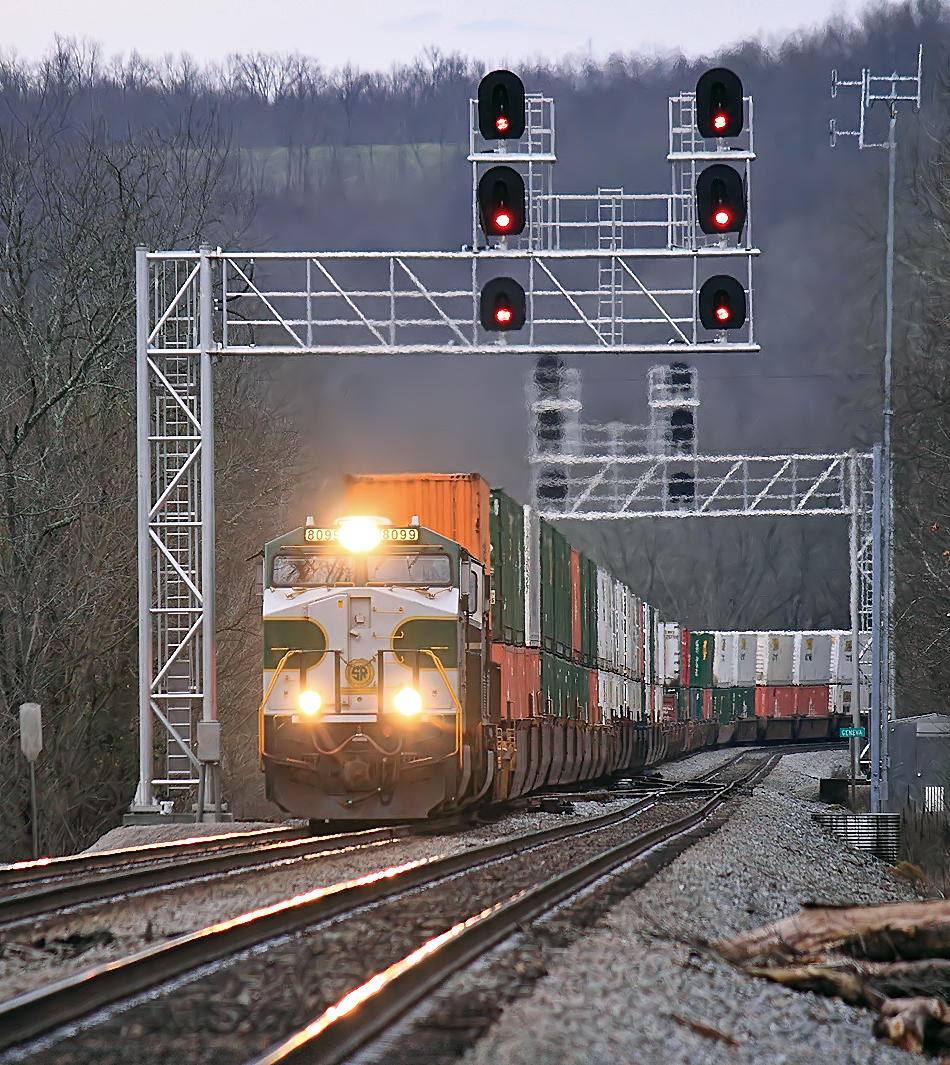
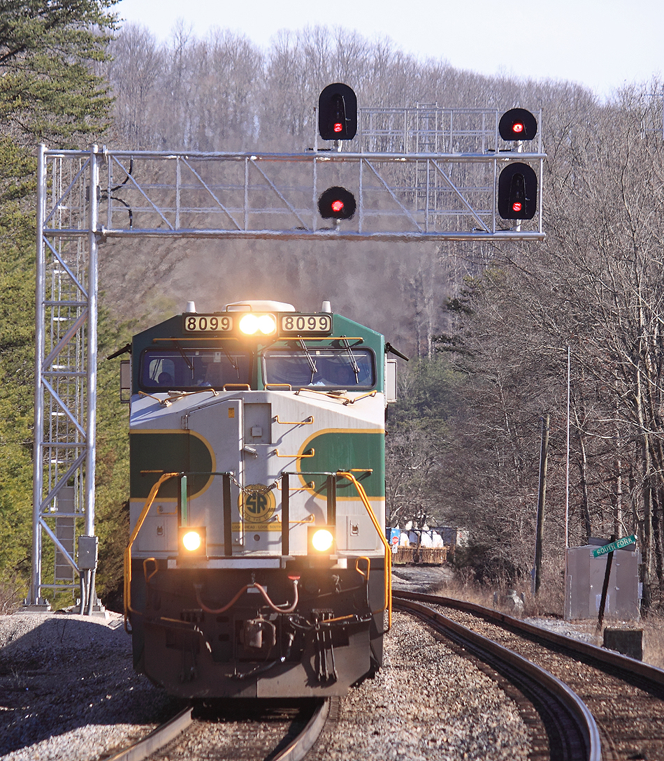
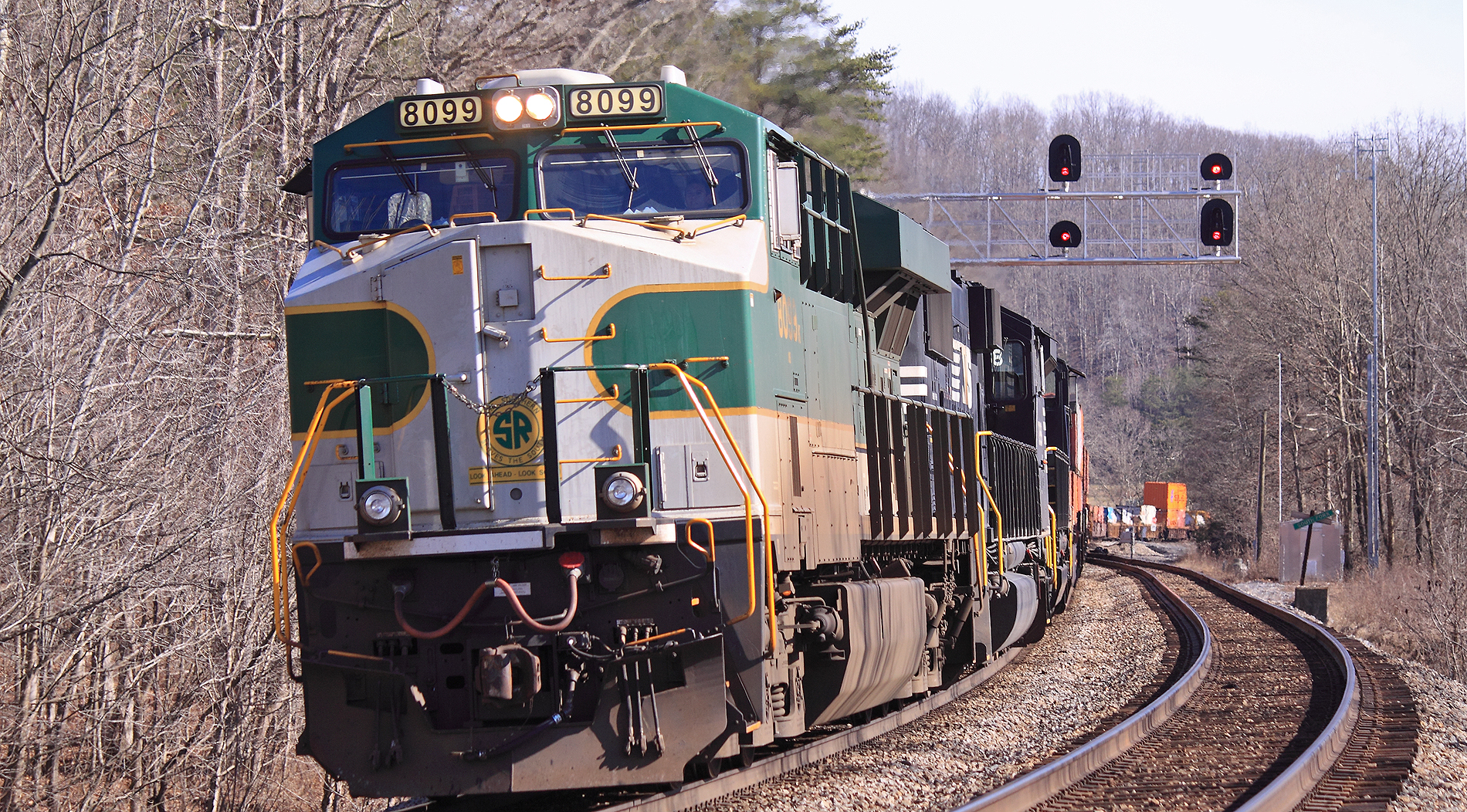
Southern 8099 leads NS 224 North at Geneva, Ky
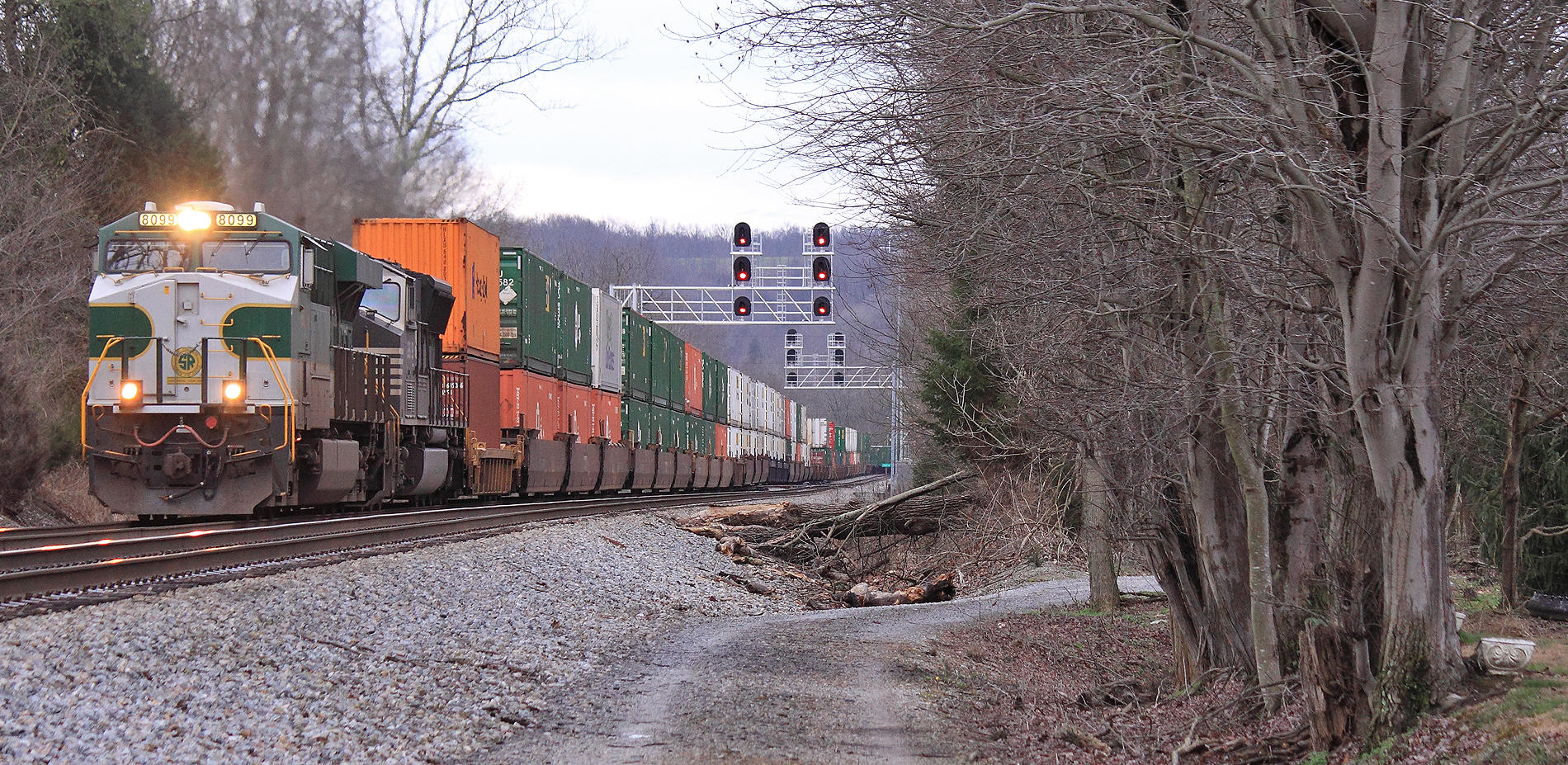
Southern 8099 leads NS 224 North at Geneva, Ky

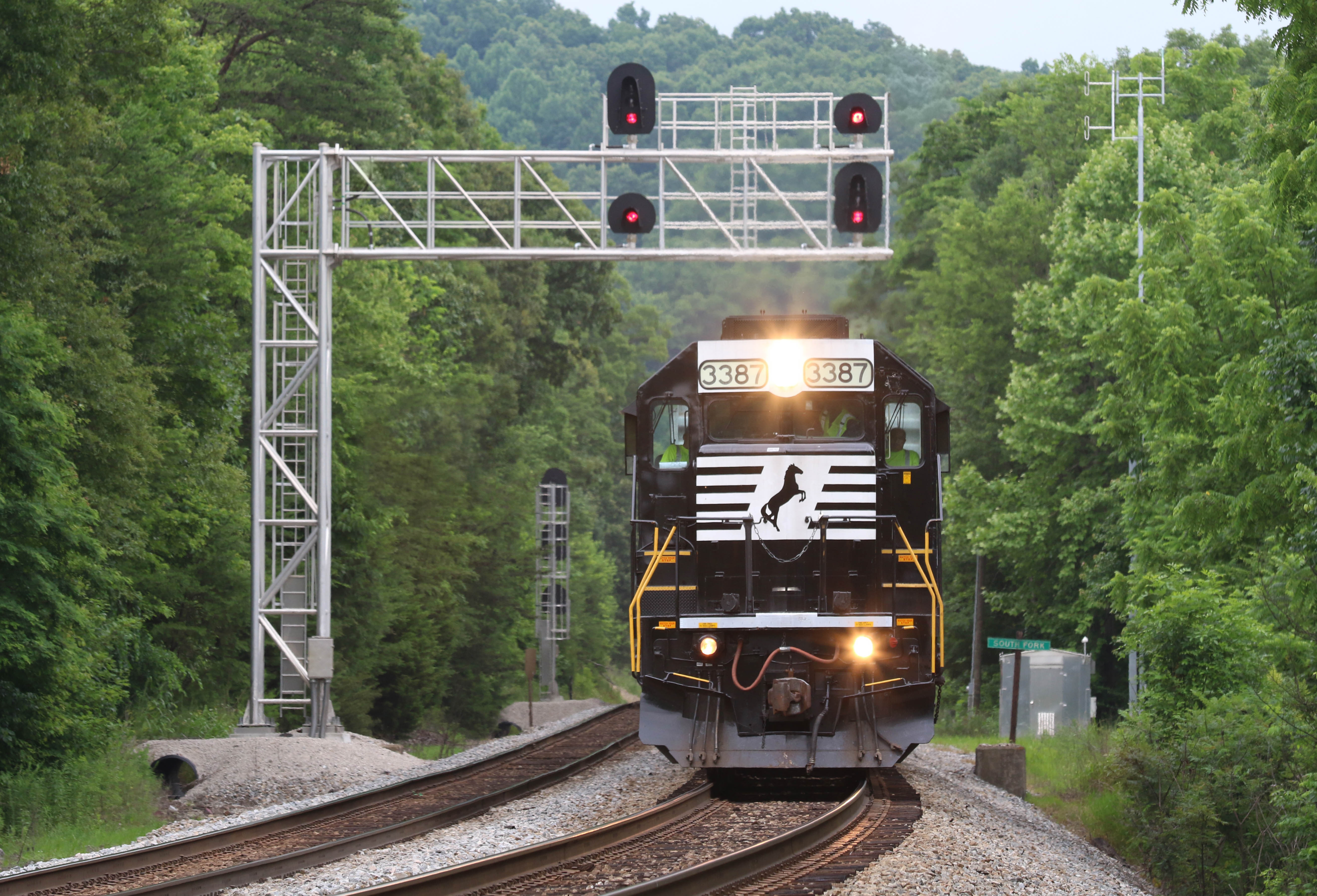
NS 224 Northbound at Southfork, KY
NS 224 Northbound at Southfork, KY
A brand new (And already dead) GE T4 is making its first trip after delivery, seen here on NS 178 at Southfork, KY
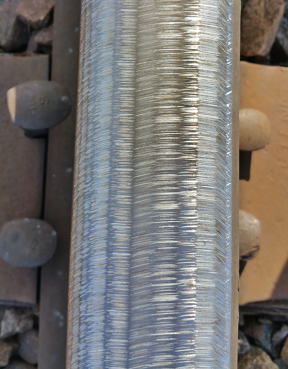
Freshly ground rail at Southfork, KY
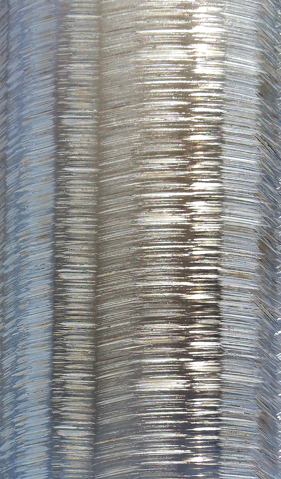
Freshly ground rail at Southfork, KY
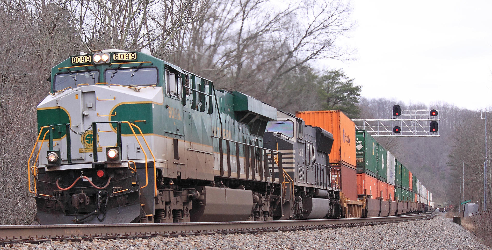
Southern 8099 leads NS 22A North at Southfork, KY
Southern 8099 leads NS 22A North at Southfork, KY
NS 179 at Science Hill, Ky
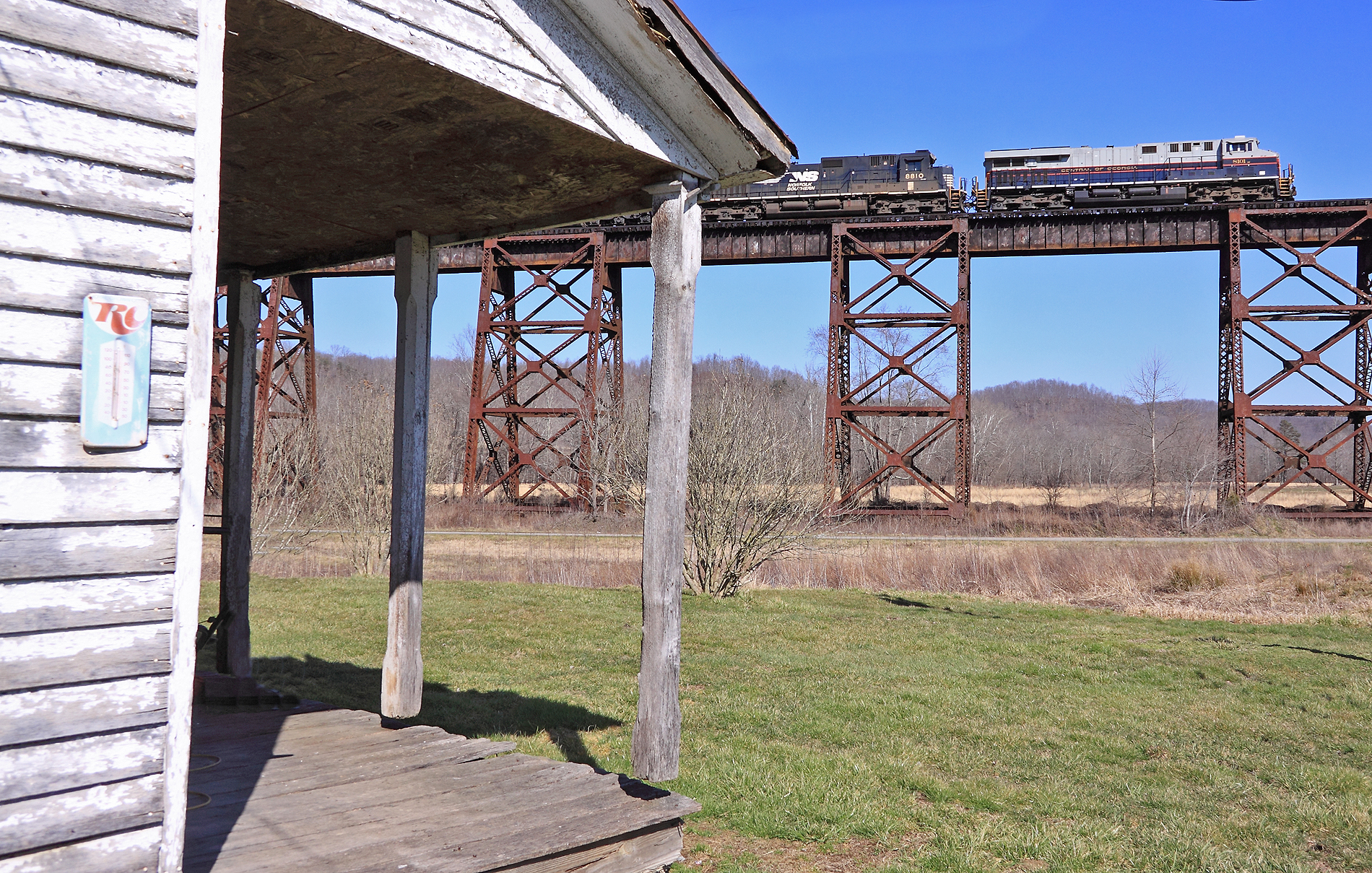
The Central of Georgia Heritage unit leads NS 215 across the Green RIver Bridge at Southfork, KY

A former BN "Tri-clops" SD60M leads NS 143 at Gradison, KY
Camp Train at South Fork

NS 7017 - 6/7/2016

#rusty #rustyrod #rustynail #rusty_decay
Topographic Map of Waynesburg, KY, USA
Find elevation by address:

Places in Waynesburg, KY, USA:
Places near Waynesburg, KY, USA:
Kings Mountain
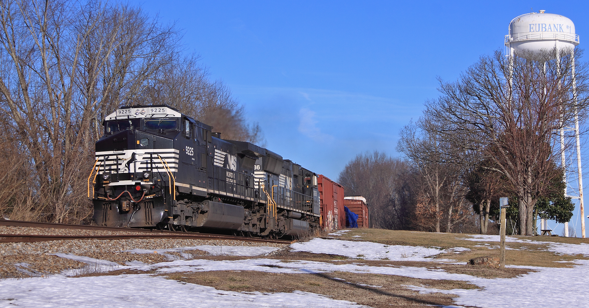
Eubank
Goochtown Rd, Eubank, KY, USA
Floyd Switch Spur, Eubank, KY, USA
8955 Ky-1247
813 Fishing Creek Rd
25 Absher Ln
405 High Ridge Tower Rd
520 Trusty Rd
KY-, Waynesburg, KY, USA
Green River Rd, Hustonville, KY, USA
KY-, Crab Orchard, KY, USA
Lincoln County
59 E Todd Rd
9892 Ky-70
Yosemite
Science Hill
Science Hill
Langdon St, Somerset, KY, USA
55 Alice Ln
Recent Searches:
- Elevation of Corso Fratelli Cairoli, 35, Macerata MC, Italy
- Elevation of Tallevast Rd, Sarasota, FL, USA
- Elevation of 4th St E, Sonoma, CA, USA
- Elevation of Black Hollow Rd, Pennsdale, PA, USA
- Elevation of Oakland Ave, Williamsport, PA, USA
- Elevation of Pedrógão Grande, Portugal
- Elevation of Klee Dr, Martinsburg, WV, USA
- Elevation of Via Roma, Pieranica CR, Italy
- Elevation of Tavkvetili Mountain, Georgia
- Elevation of Hartfords Bluff Cir, Mt Pleasant, SC, USA