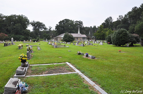
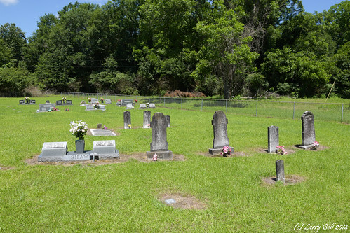
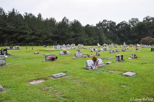
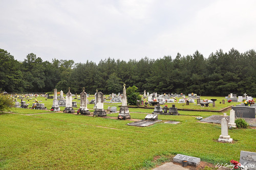
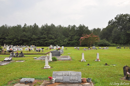
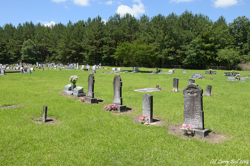
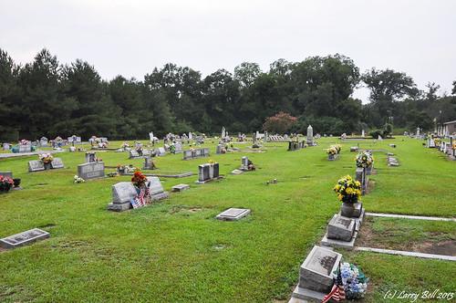
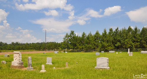
Elevation of Wayne County, MS, USA
Location: United States > Mississippi >
Longitude: -88.710896
Latitude: 31.7130601
Elevation: 78m / 256feet
Barometric Pressure: 100KPa
Related Photos:
Topographic Map of Wayne County, MS, USA
Find elevation by address:

Places in Wayne County, MS, USA:
Places near Wayne County, MS, USA:
Robinson Street Cafe & Ice Crm
Waynesboro
US-11, Heidelberg, MS, USA
Freedom Road
Heidelberg
74 Co Rd, Heidelberg, MS, USA
Quitman
114 Co Rd 351a
1507 Bee Tree Rd
Antioch Drive
Clarke County
121 Otho Sellers Rd
Sharon Moss Rd, Laurel, MS, USA
Laurel
2010 N 6th Ave
Fernwood Drive
3 Highland Woods Dr
Luther Hill Rd, Ellisville, MS, USA
Richton
802 Dogwood Ave
Recent Searches:
- Elevation of Corso Fratelli Cairoli, 35, Macerata MC, Italy
- Elevation of Tallevast Rd, Sarasota, FL, USA
- Elevation of 4th St E, Sonoma, CA, USA
- Elevation of Black Hollow Rd, Pennsdale, PA, USA
- Elevation of Oakland Ave, Williamsport, PA, USA
- Elevation of Pedrógão Grande, Portugal
- Elevation of Klee Dr, Martinsburg, WV, USA
- Elevation of Via Roma, Pieranica CR, Italy
- Elevation of Tavkvetili Mountain, Georgia
- Elevation of Hartfords Bluff Cir, Mt Pleasant, SC, USA
