Elevation of Waterville, NB E7P, Canada
Location: Canada > New Brunswick >
Longitude: -67.581265
Latitude: 46.267963
Elevation: 117m / 384feet
Barometric Pressure: 100KPa
Elevation Map:
Satellite Map:
Related Photos:

To pray or not to pray
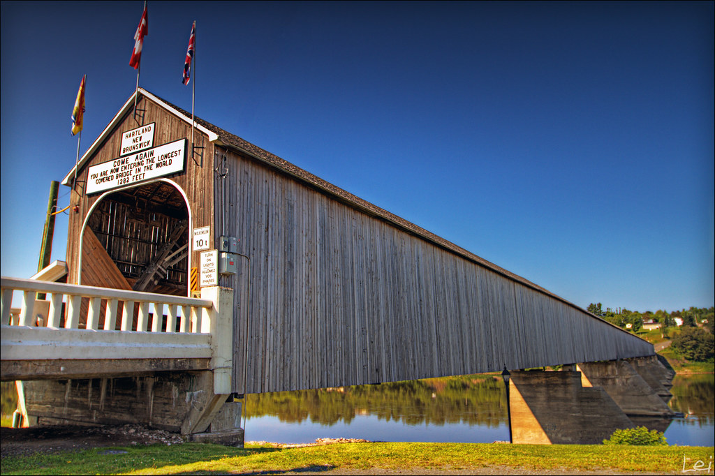
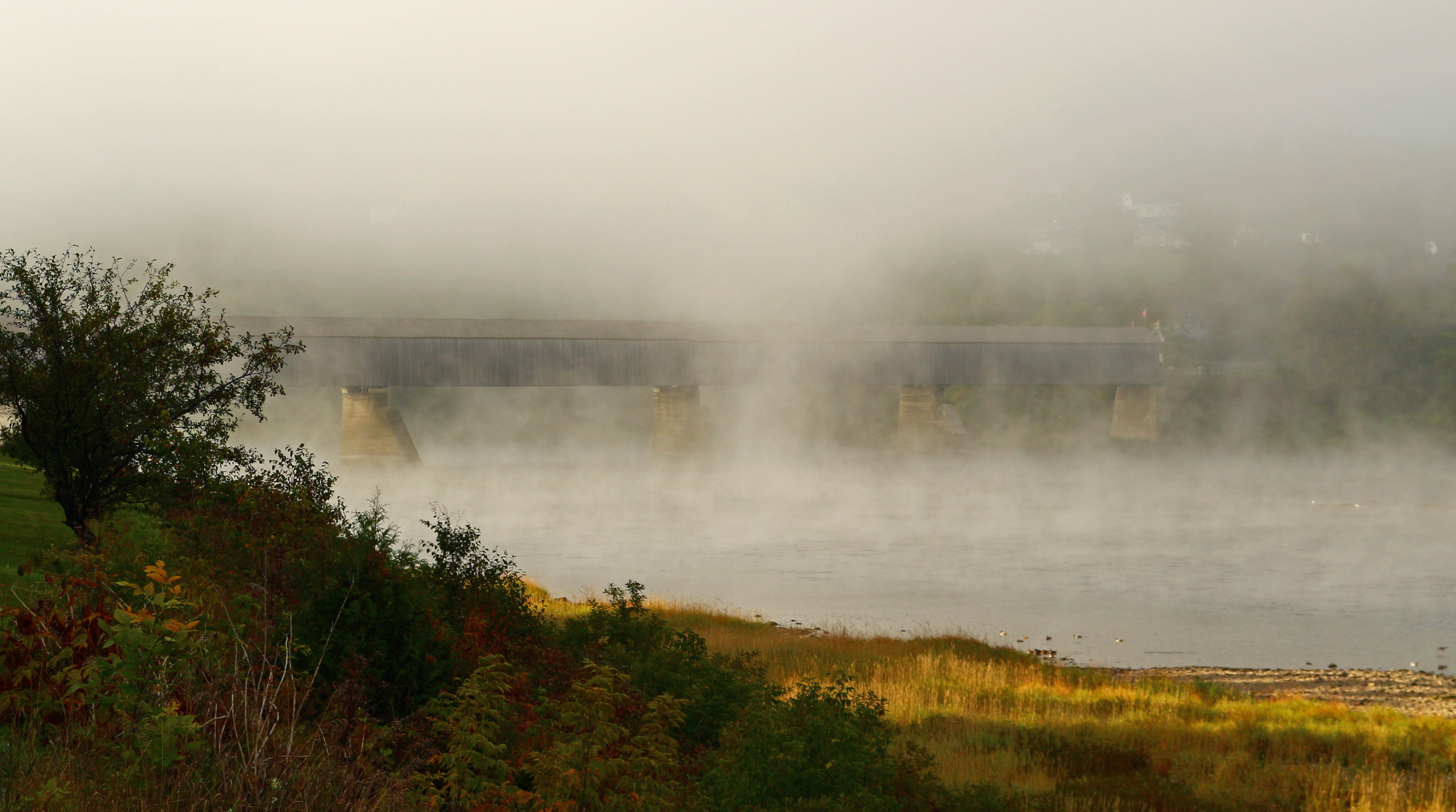
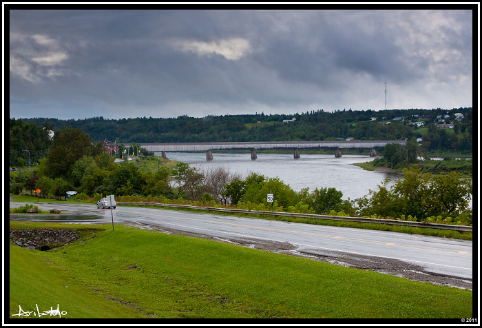
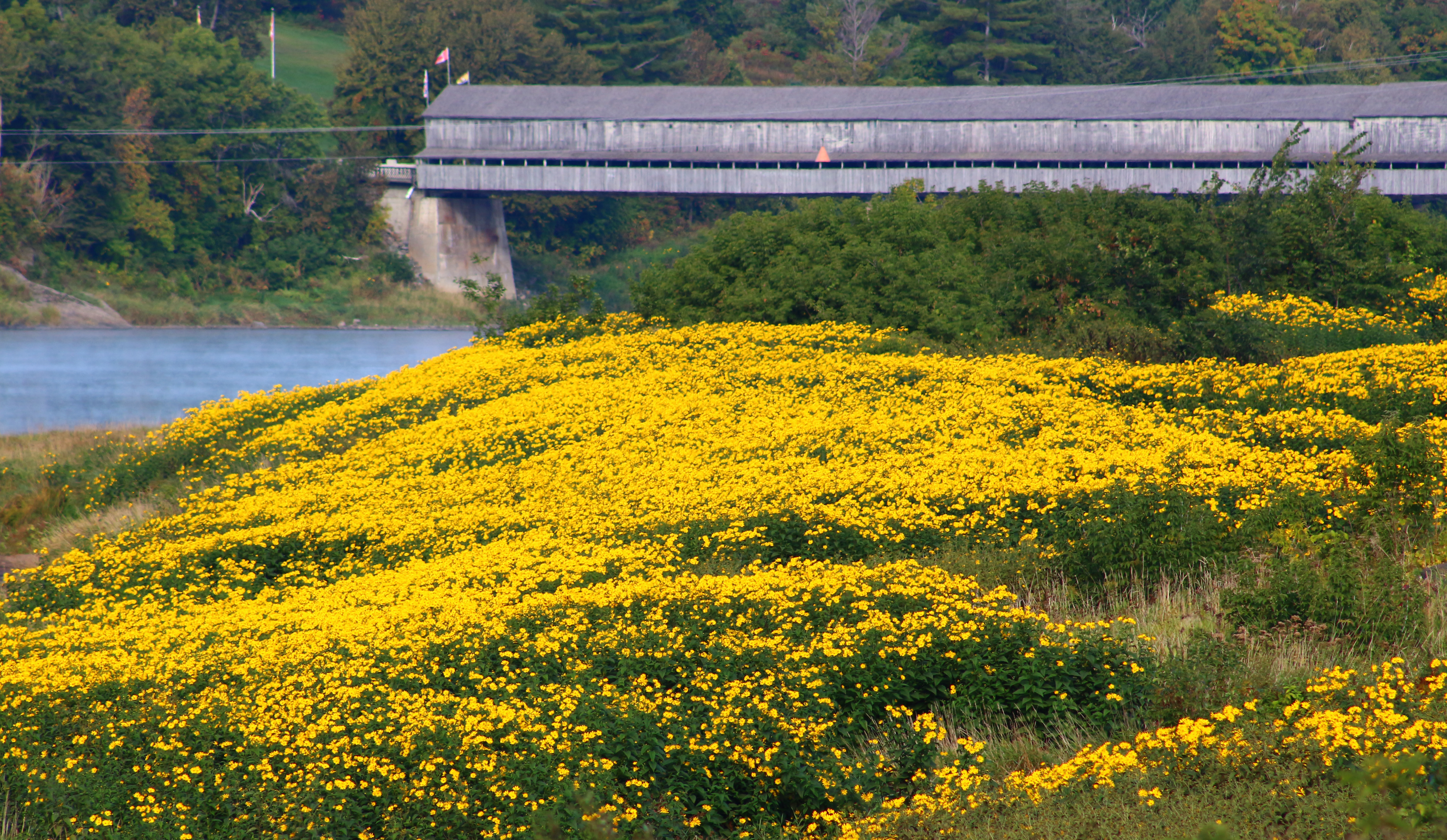
"world longest covered bridge"
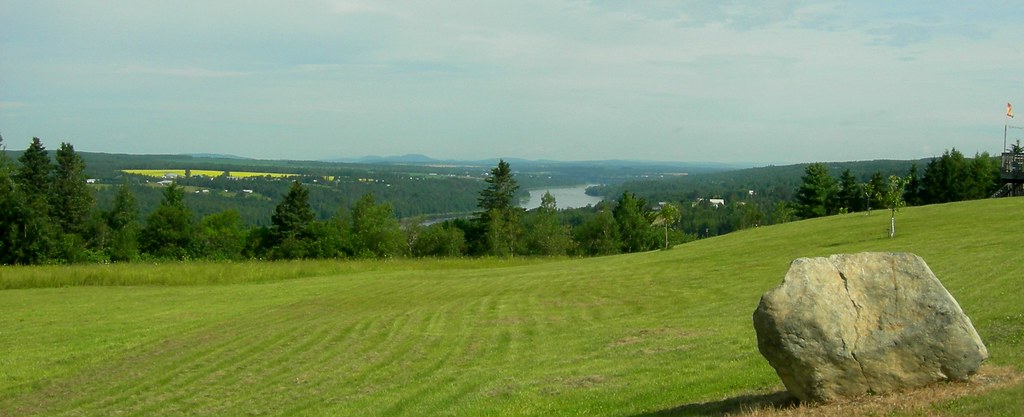
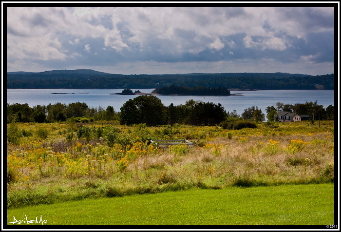
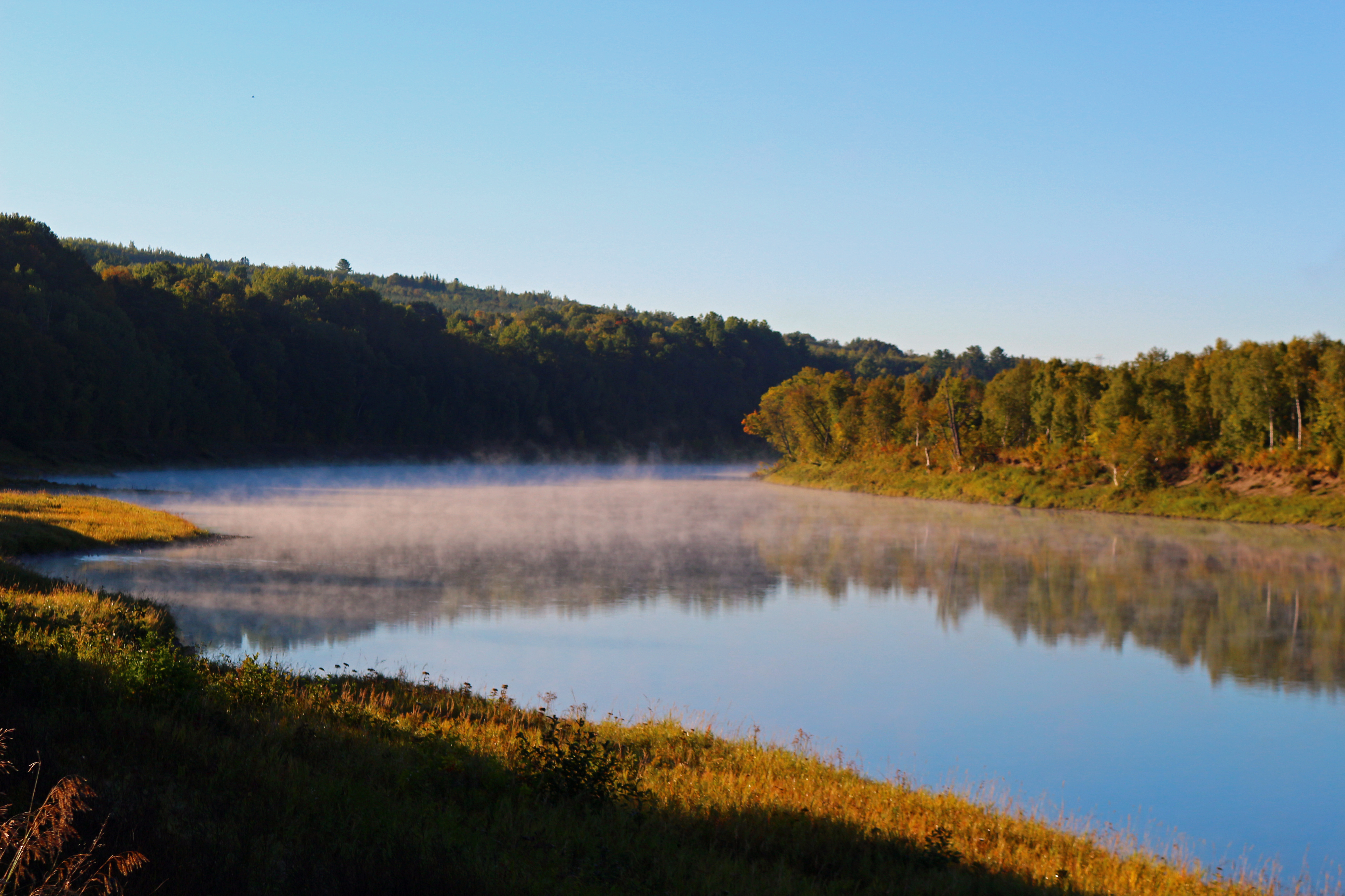
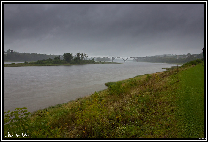
2009 July 31 - A view of the St.John River in Newburg, New Brunswick, Canada

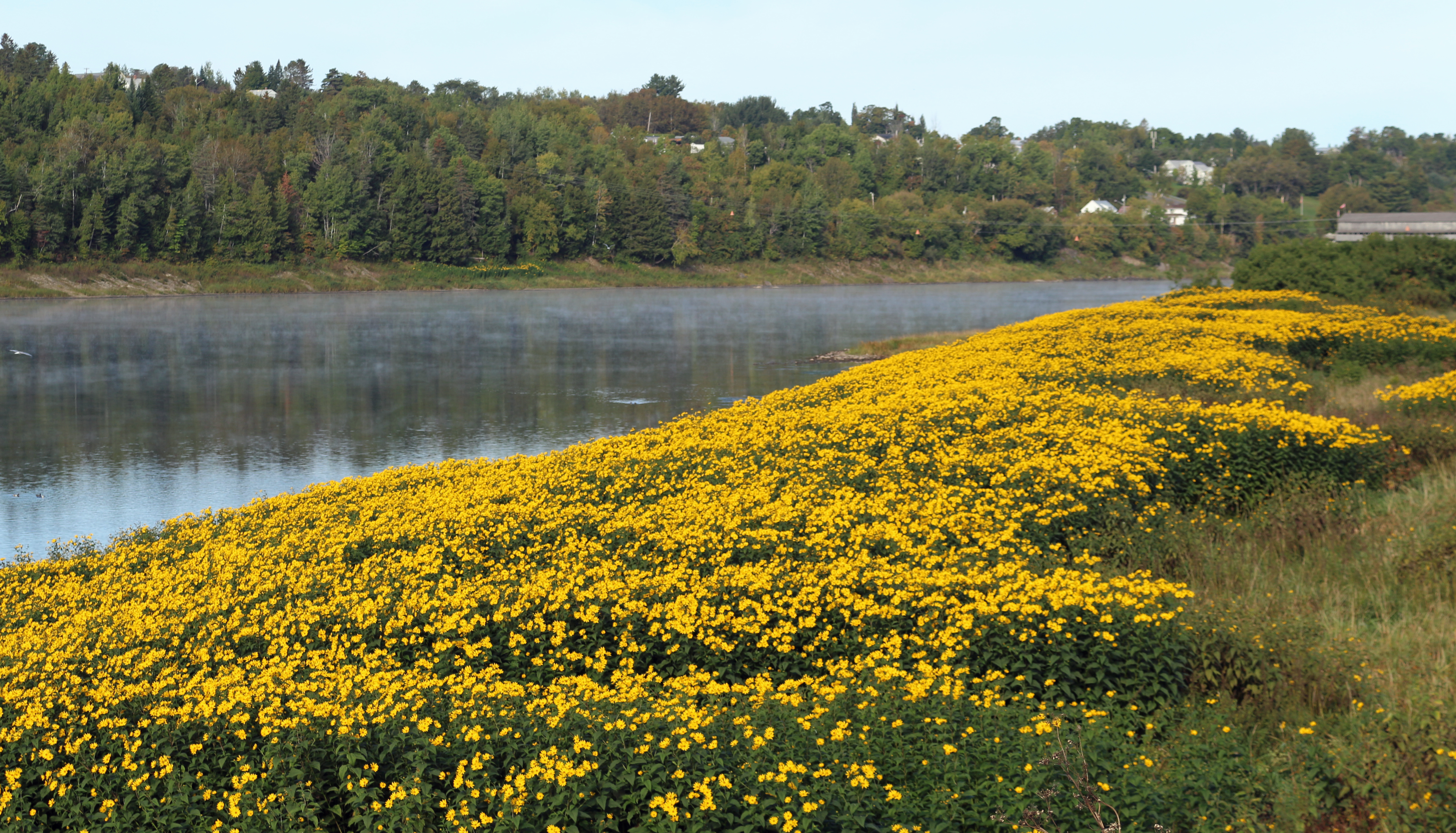
"elegant blue"
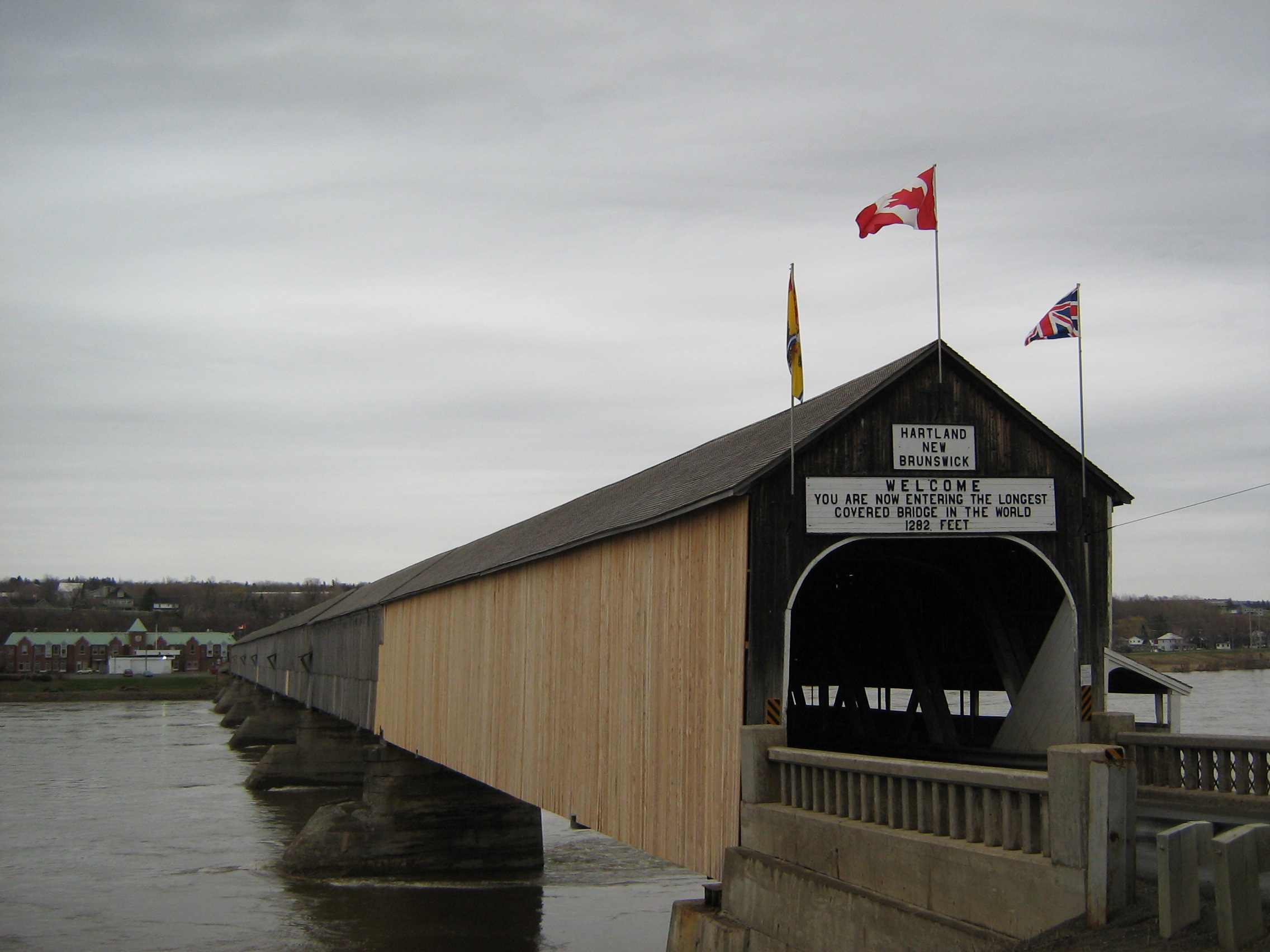
Longest covered bridge in the world, Hartland, New Brunswick, Canada
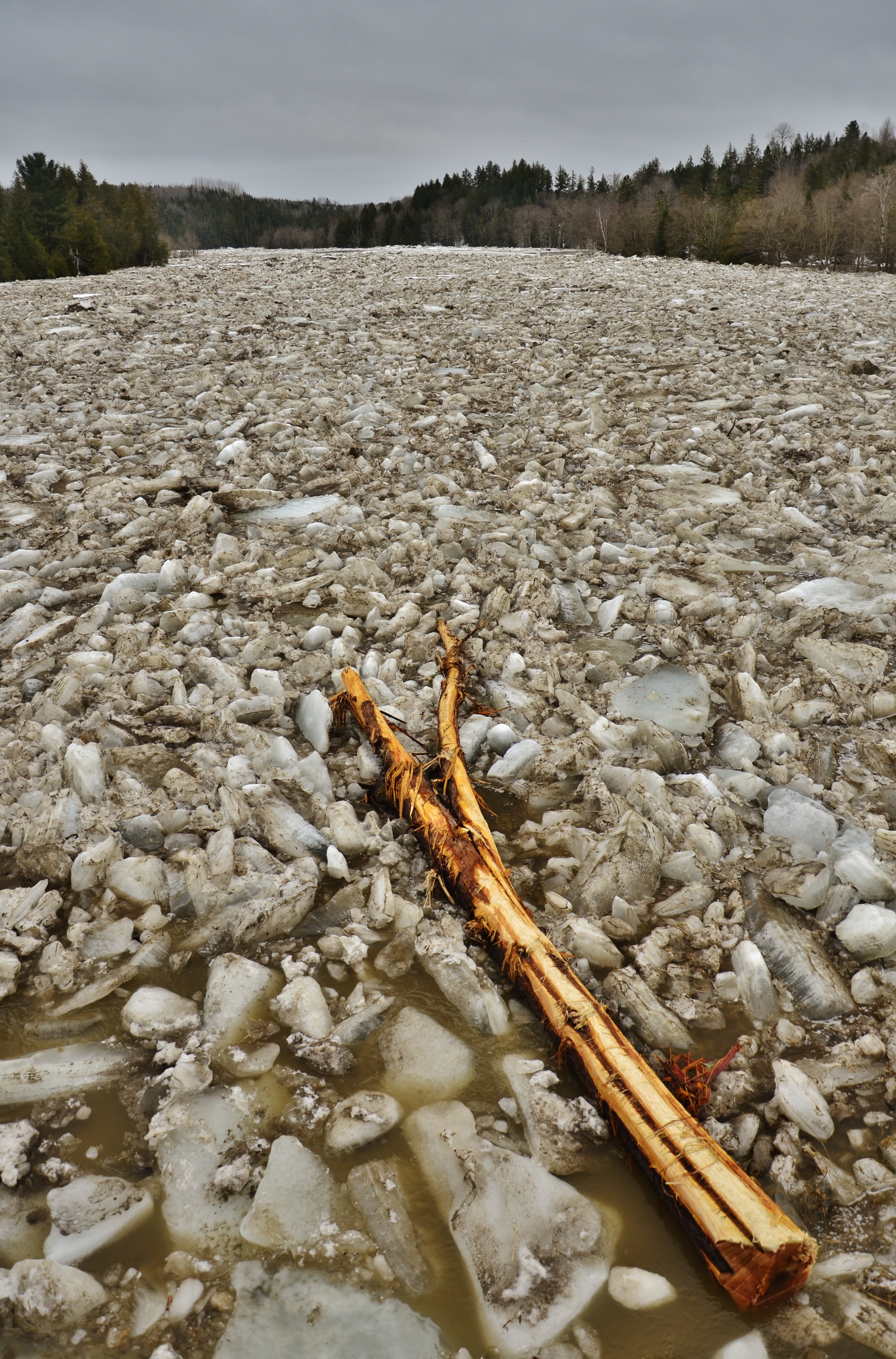
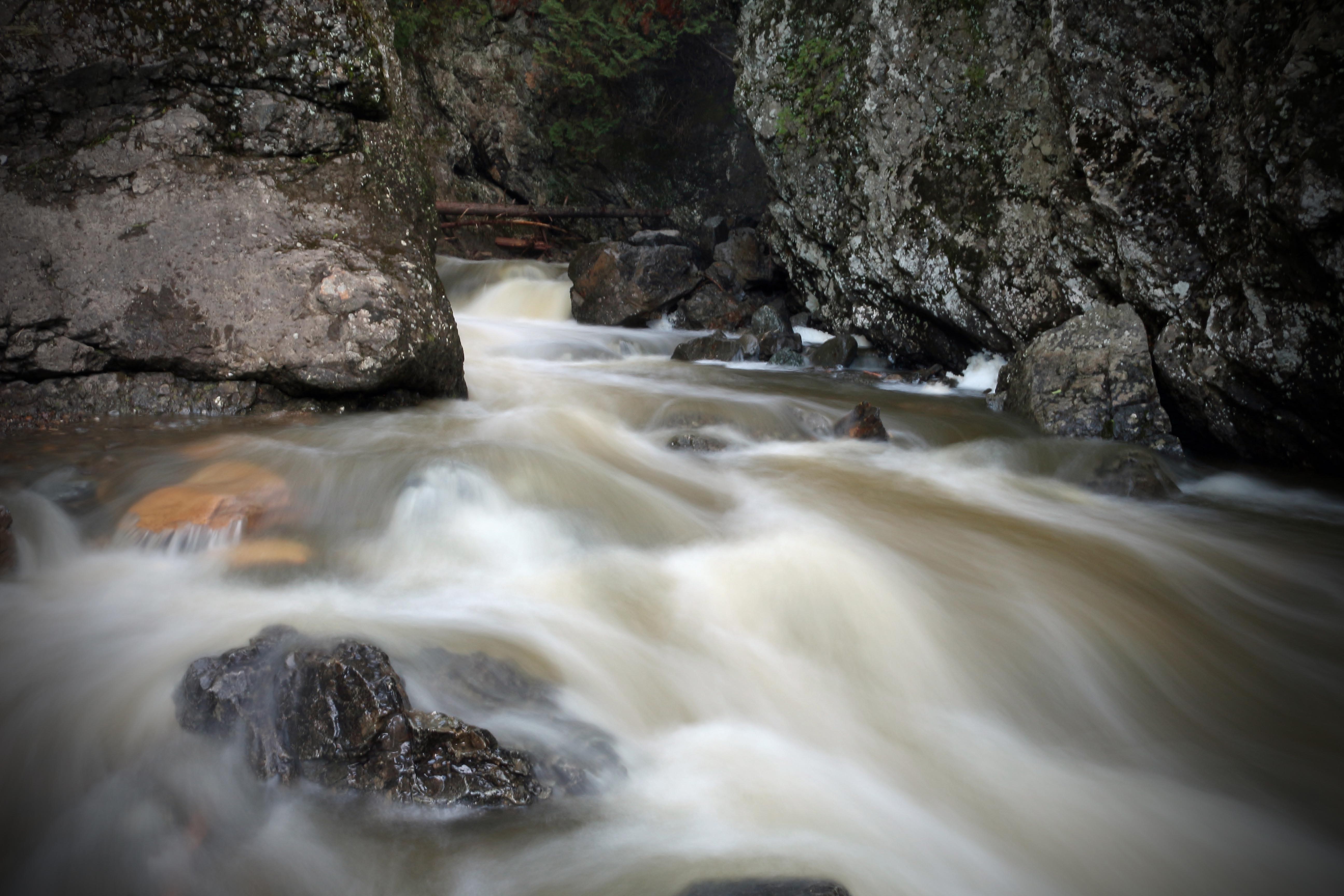
Mighty Meduxnekeag
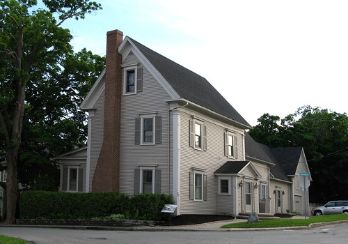
The Gibson House

"strike-free worker"
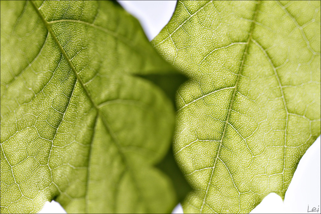
"freshing"
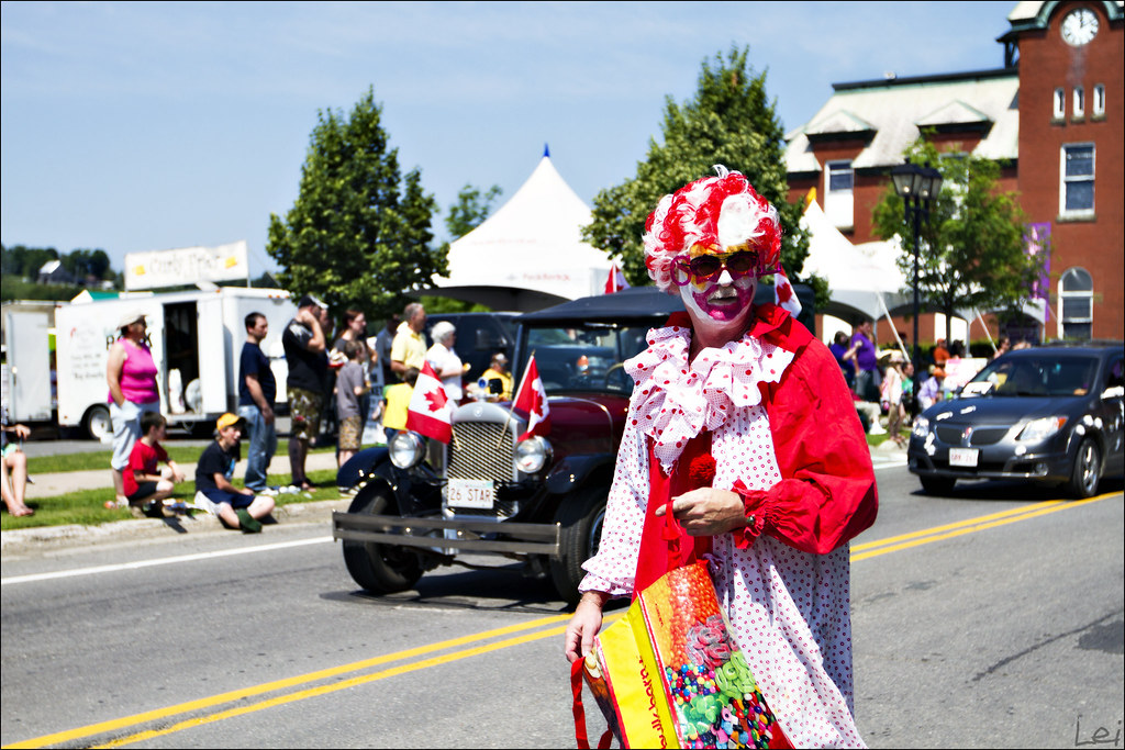
"a clown with mustache"
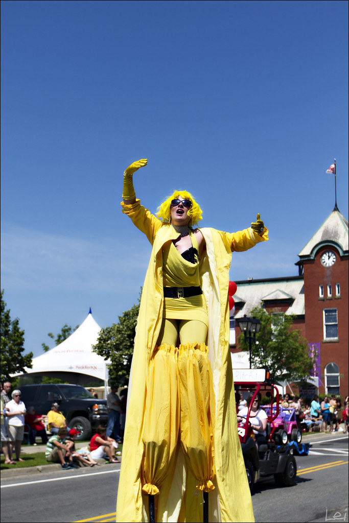
"ahhhhhhhhhhhh"
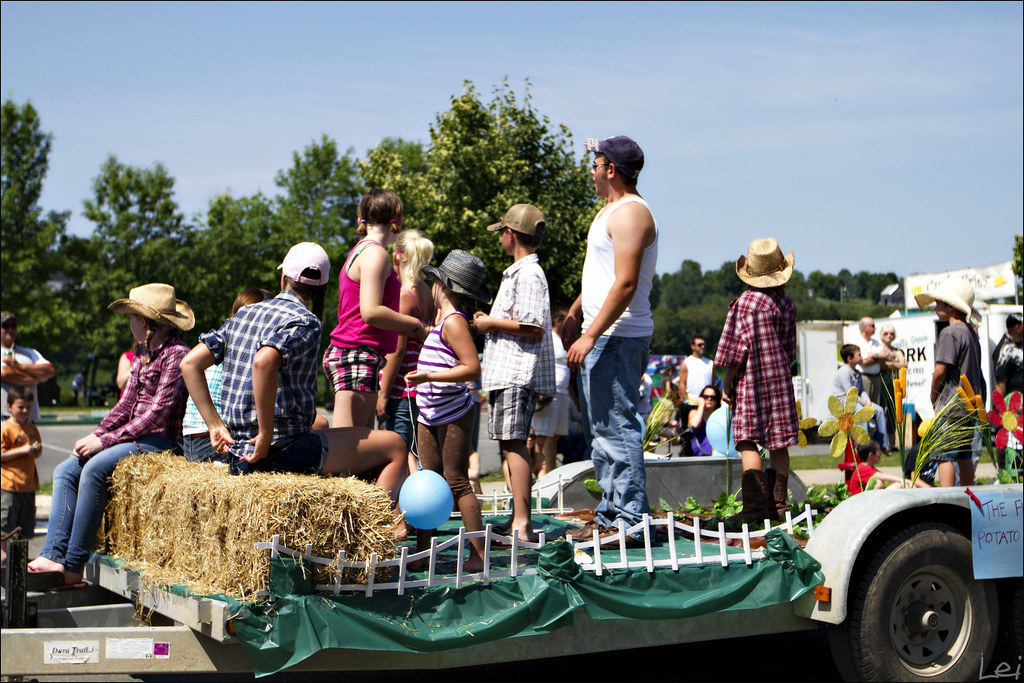
"what's happening over there"
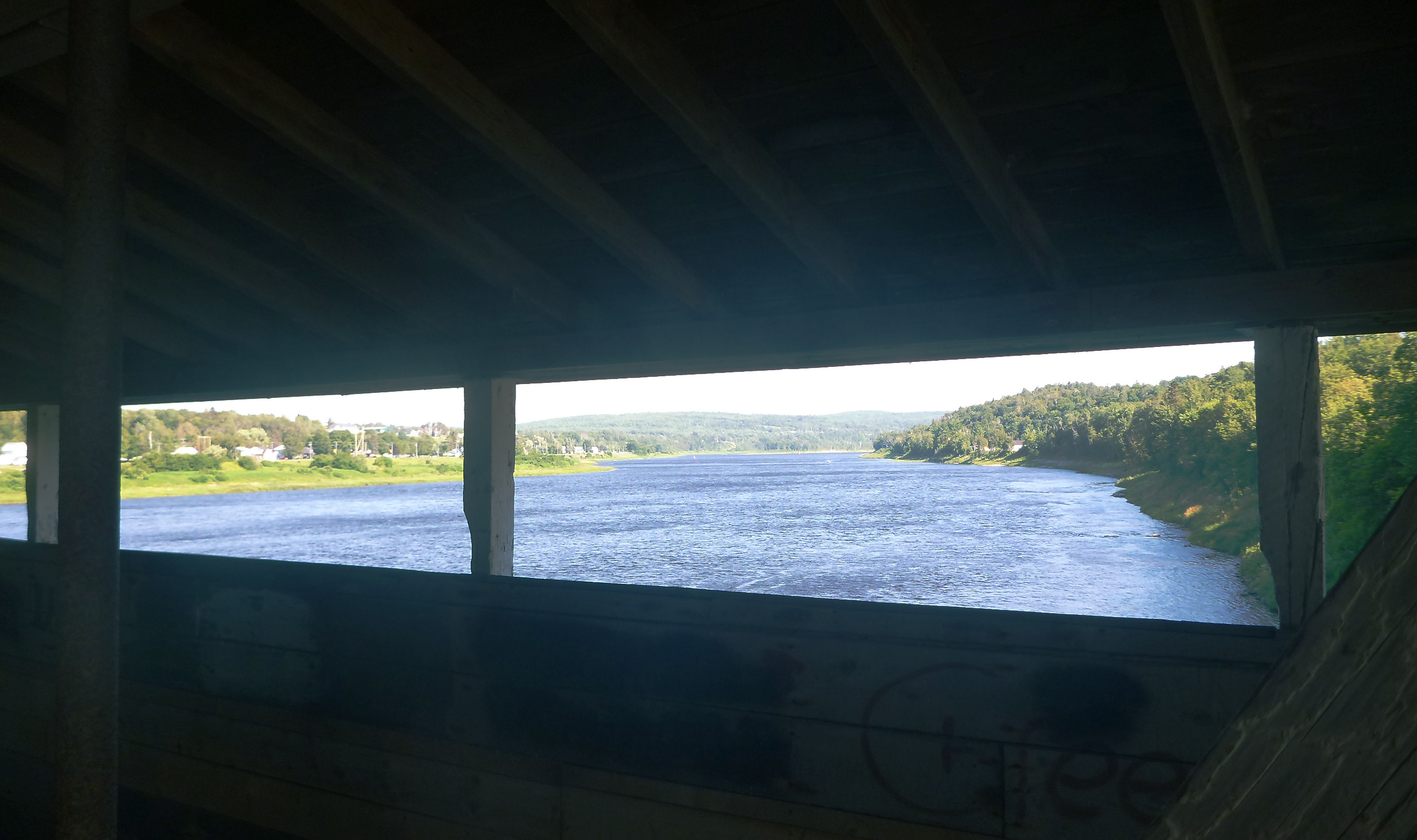
View from inside the bridge
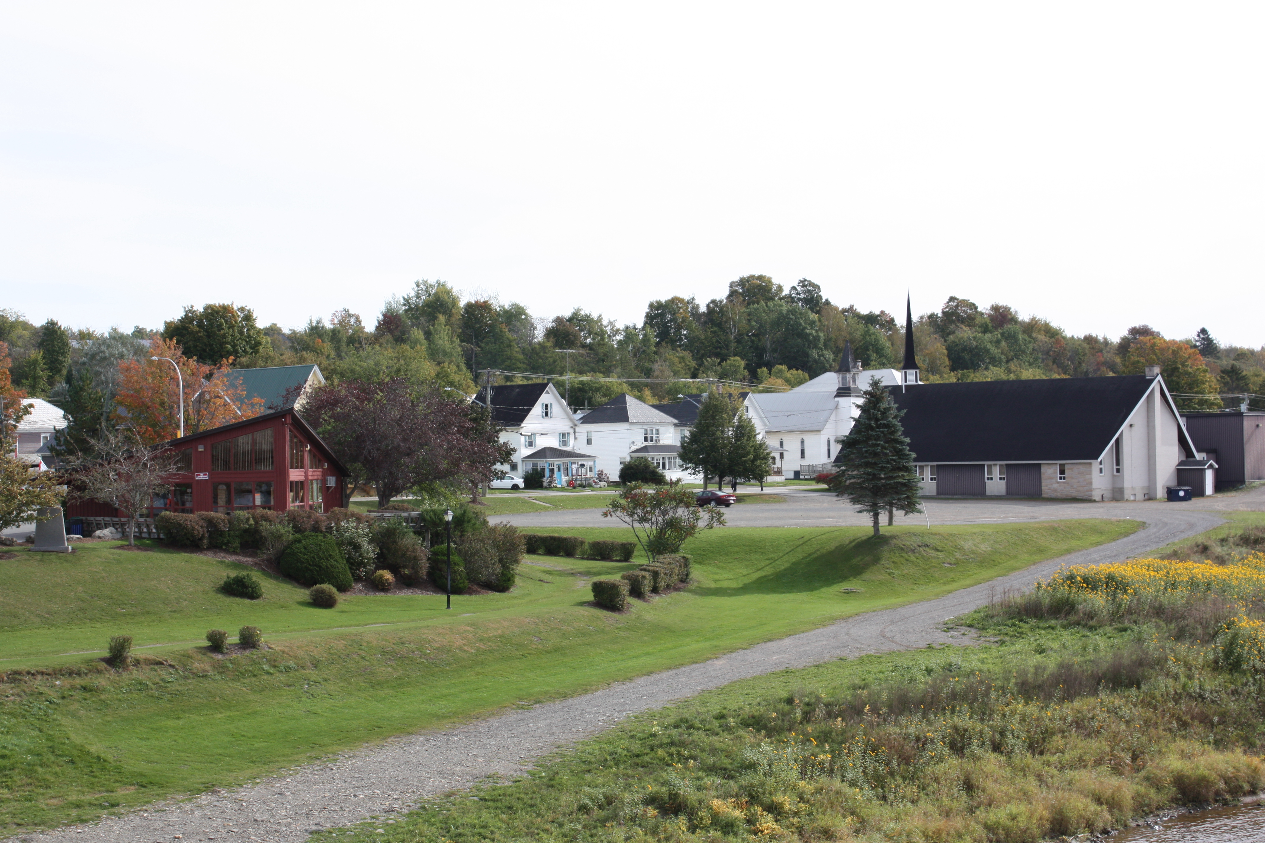
Hartland, New Brunswick
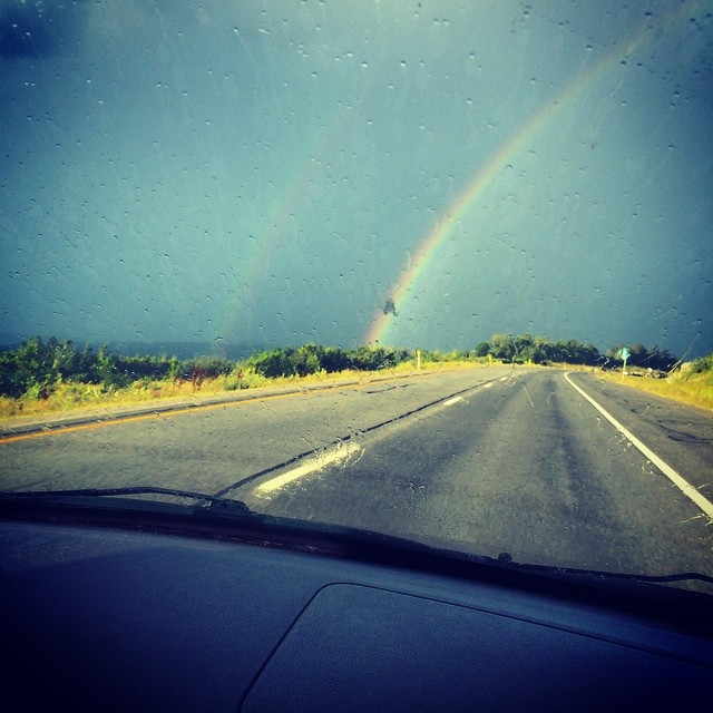
#doublerainbow spotted on the drive home yesterday.
IMG_2889_edited-1.psd
IMG_2491_edited-1.jpg
2011 08 21 Road Trip New Brunswick (31)-border
IMG_2523_edited-1.jpg
IMG_2616_edited-1.jpg
2011 08 21 Road Trip New Brunswick (17)-border
2011 08 21 Road Trip New Brunswick (30)-border
IMG_2892_edited-1.psd

2011 08 21 Road Trip New Brunswick (12)-border
2011 08 21 Road Trip New Brunswick (13)-border
IMG_2653_edited-1.psd
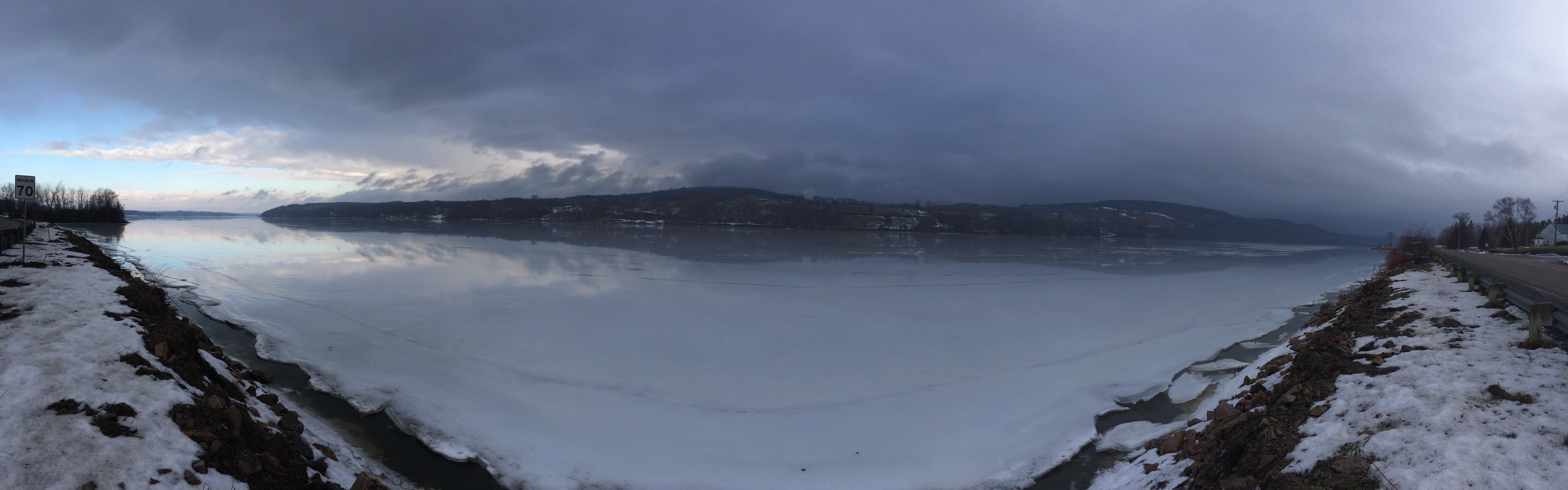
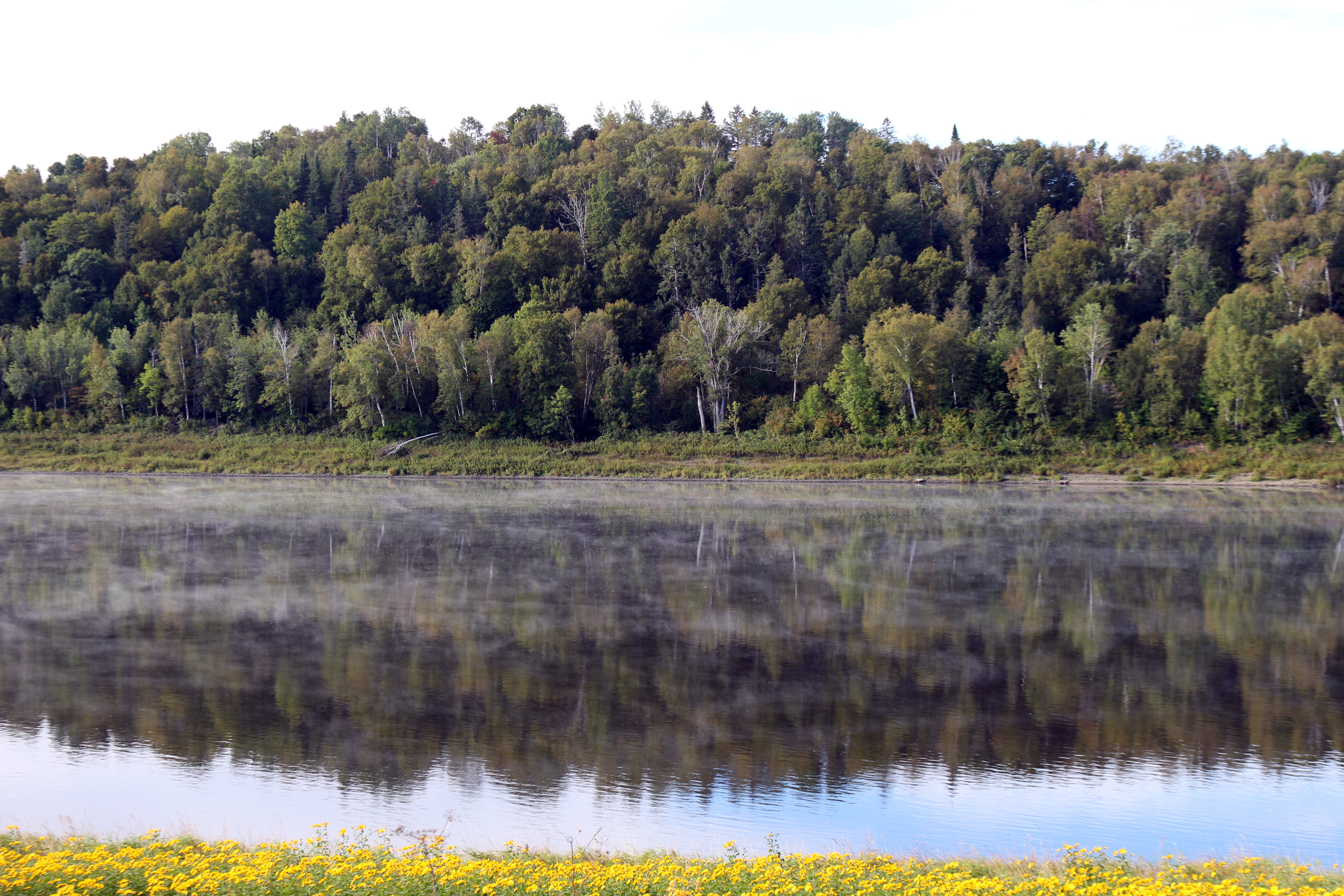
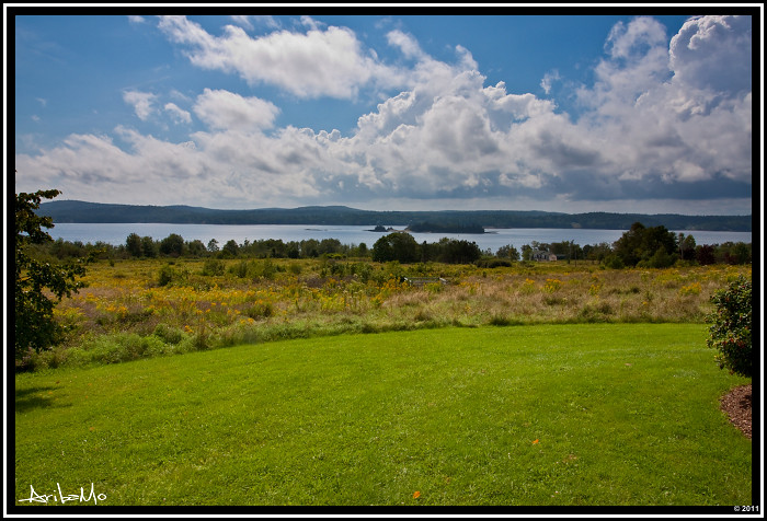
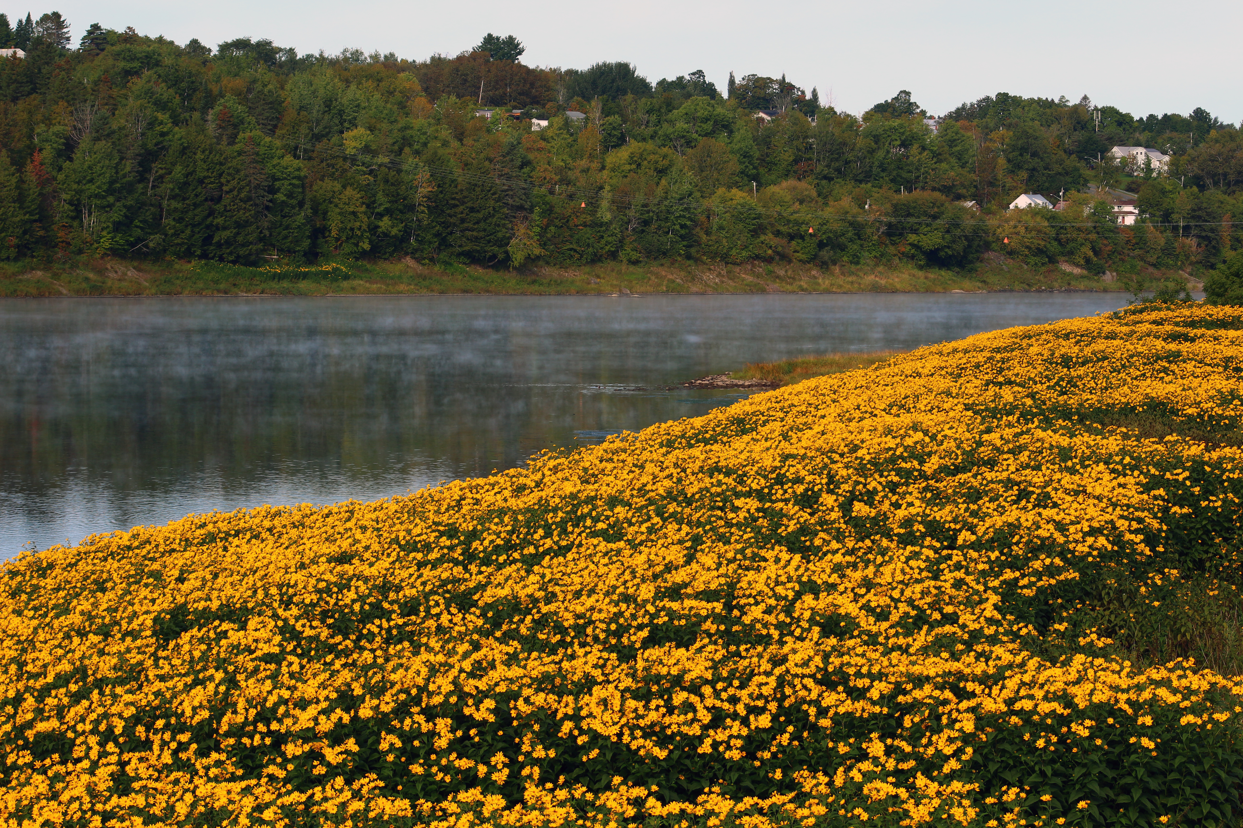
Saint John River, Woodstock, New Brunswick, Canada.
IMG_2521_edited-1.jpg
IMG_2519_edited-1.jpg

IMG_2628.JPG
IMG_2527_edited-1.jpg
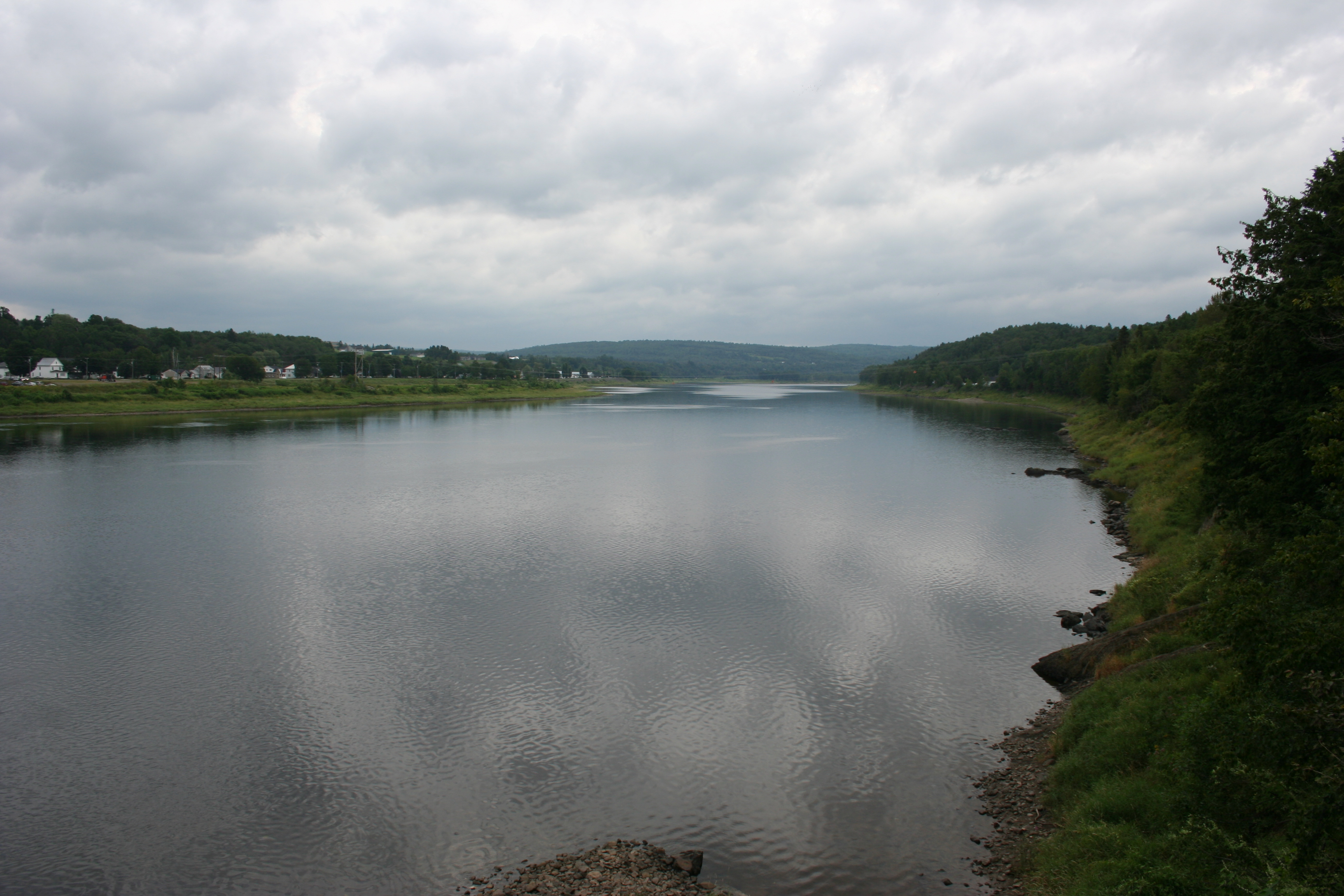
Saint John River
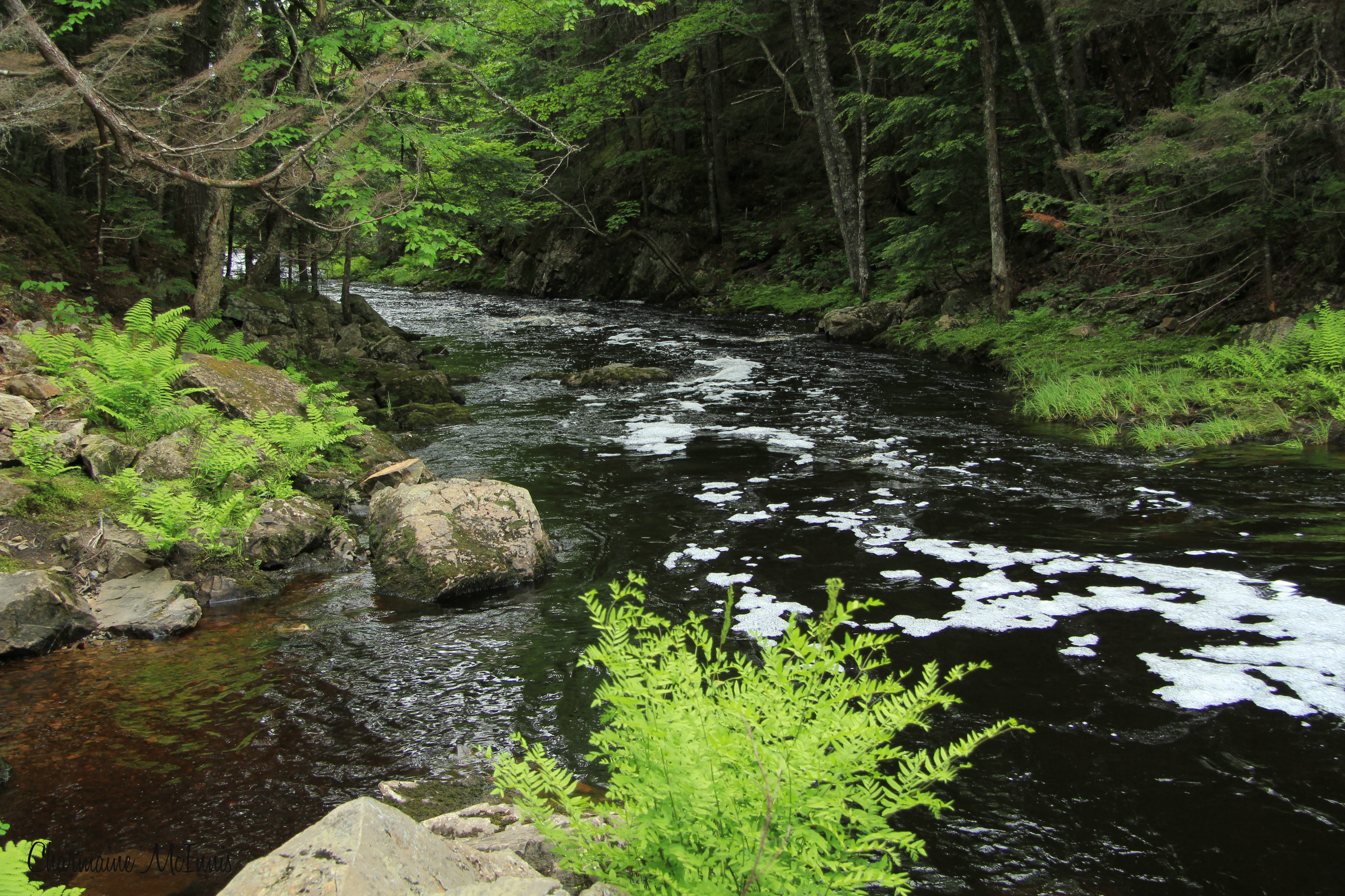
Gibson Creek
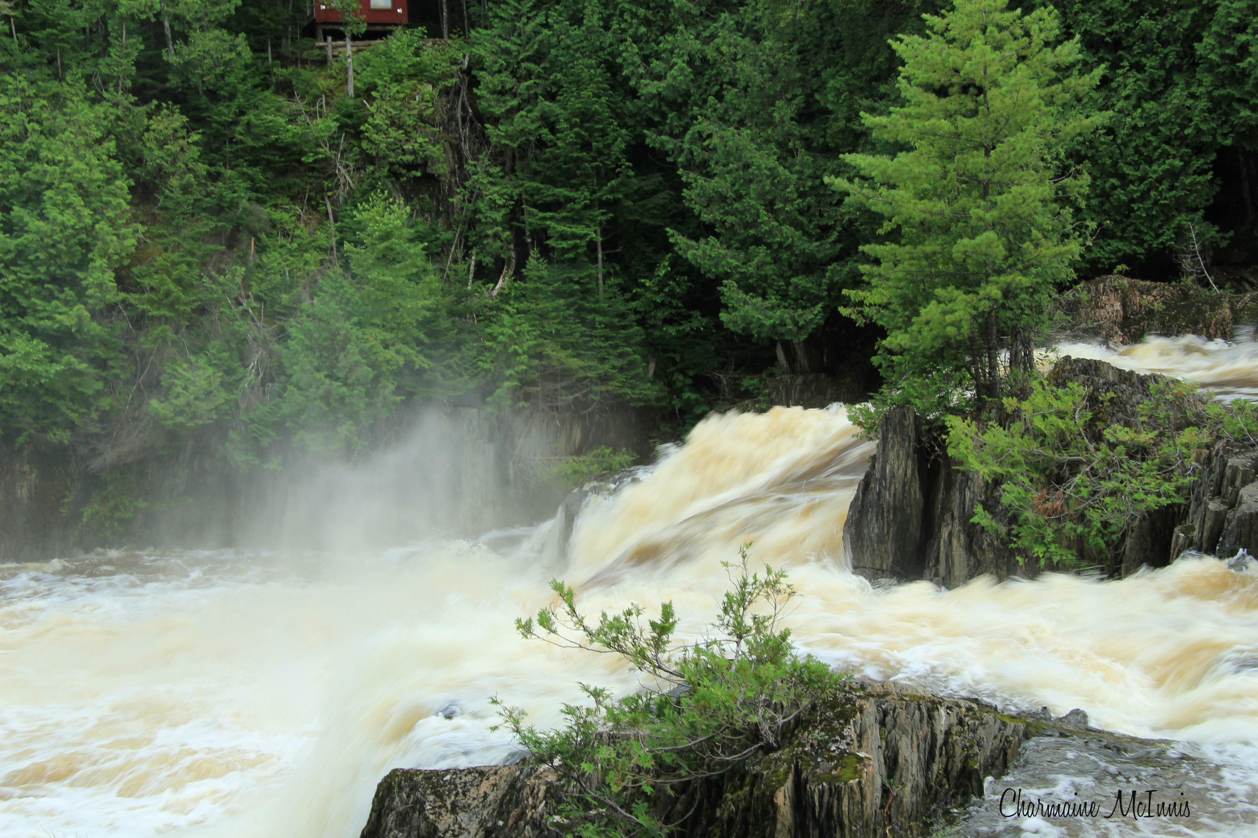
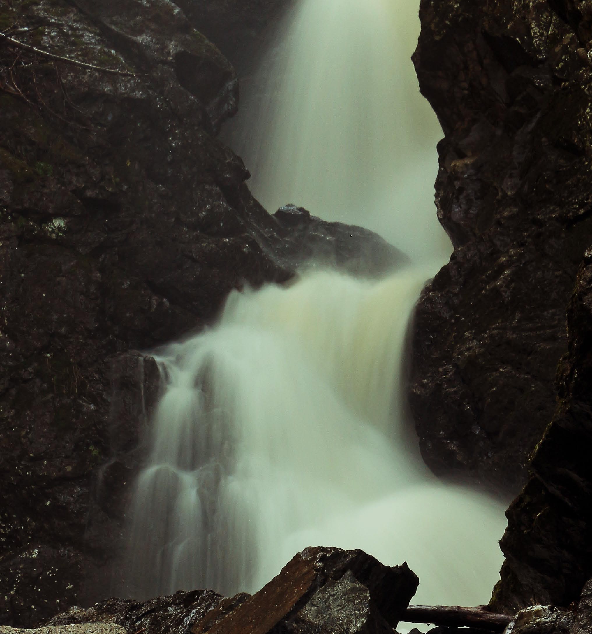
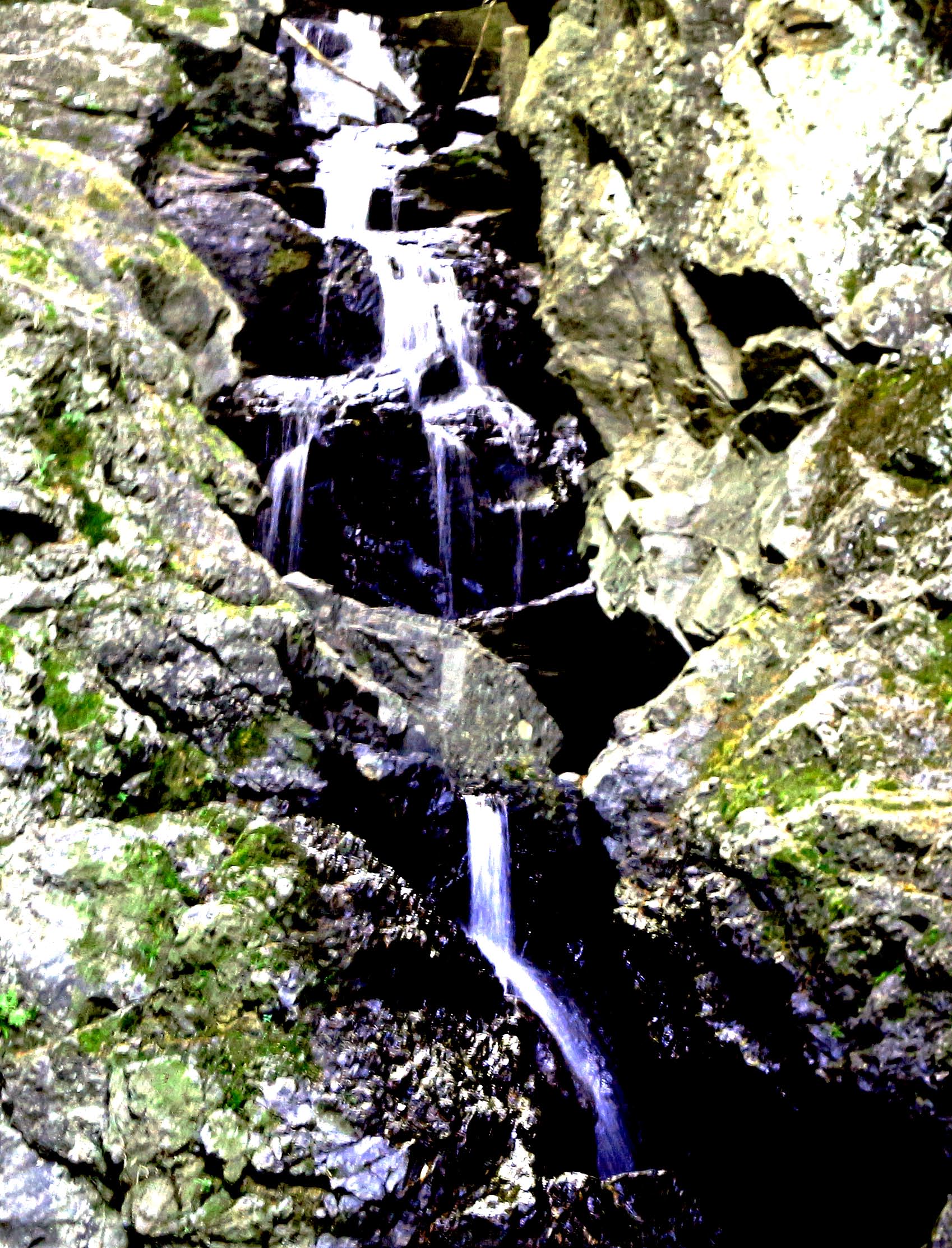
Middle Pitch Falls
Topographic Map of Waterville, NB E7P, Canada
Find elevation by address:

Places in Waterville, NB E7P, Canada:
Places near Waterville, NB E7P, Canada:
Goodine William Dr
Estey Rd, Waterville, NB E7P 1H5, Canada
73 Riverview Dr
Wilmot
2223 Nb-103
Wakefield
6254 Nb-105
Main St, Peel, NB E7L, Canada
Lindsay
Lakeville Fire Department
Main St, Riverbank, NB E7L 3Z8, Canada
Lansdowne
NB-, Lindsay, NB E7M 5N8, Canada
Riverbank
Charleston Road
Wilmot
NB-, Williamstown, NB E7K 1S3, Canada
Williamstown
Long Settlement
Fullerton Road
Recent Searches:
- Elevation of Corso Fratelli Cairoli, 35, Macerata MC, Italy
- Elevation of Tallevast Rd, Sarasota, FL, USA
- Elevation of 4th St E, Sonoma, CA, USA
- Elevation of Black Hollow Rd, Pennsdale, PA, USA
- Elevation of Oakland Ave, Williamsport, PA, USA
- Elevation of Pedrógão Grande, Portugal
- Elevation of Klee Dr, Martinsburg, WV, USA
- Elevation of Via Roma, Pieranica CR, Italy
- Elevation of Tavkvetili Mountain, Georgia
- Elevation of Hartfords Bluff Cir, Mt Pleasant, SC, USA