Elevation of Waterloo, NS B4V 8L4, Canada
Location: Canada > Nova Scotia > Lunenburg County > Lunenburg >
Longitude: -64.69096
Latitude: 44.324763
Elevation: 104m / 341feet
Barometric Pressure: 100KPa
Elevation Map:
Satellite Map:
Related Photos:

NS-08121 - Last View

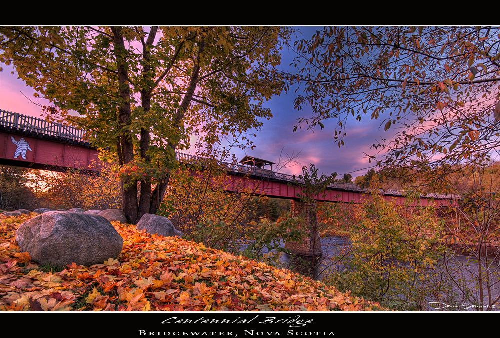
Centennial Trail Walking Bridge

LaHave River
Centennial Bridge II

Brookside Cemetery

View up the LaHave River

That is one nice view

View from Indian Garden Farms to Fancy Lake

Downtown Bridgewater

Cape Rouge Sinking

Veterans Memorial Park

LaHave River

North side of bridge

Overview downstream looking Northwest

Downtown Bridgewater

River Flow

Moose Cottage

Wile Carding Mill

Smith Rd. Falls

graveyard orton

HMCS Fraser

LaHave River

Cook's Falls

Fitch Lake

LaHave River - North

Riverview Park

LaHave River

LaHave River - South
Topographic Map of Waterloo, NS B4V 8L4, Canada
Find elevation by address:

Places near Waterloo, NS B4V 8L4, Canada:
New Elm Road
New Elm Road
Greenfield
2031 New Elm Rd
842 Salmon Bay Dr
984 Osborne Rd
Osborne Road
B0t 1p0
Nova Scotia Trunk 8, Greenfield, NS B0T 1E0, Canada
4912 Nova Scotia Trunk 10
95 School St
B0r 1e0
B0t 1e0
New Elm Rd, South Brookfield, NS B0T 1X0, Canada
64 Ns-208
Zwicker Mill Rd, New Germany, NS B0R 1E0, Canada
New Germany
Murley Rd, South Brookfield, NS B0T 1X0, Canada
11 Fire Hall Rd
Nova Scotia Trunk 8, Queens, NS B0T, Canada
Recent Searches:
- Elevation of Corso Fratelli Cairoli, 35, Macerata MC, Italy
- Elevation of Tallevast Rd, Sarasota, FL, USA
- Elevation of 4th St E, Sonoma, CA, USA
- Elevation of Black Hollow Rd, Pennsdale, PA, USA
- Elevation of Oakland Ave, Williamsport, PA, USA
- Elevation of Pedrógão Grande, Portugal
- Elevation of Klee Dr, Martinsburg, WV, USA
- Elevation of Via Roma, Pieranica CR, Italy
- Elevation of Tavkvetili Mountain, Georgia
- Elevation of Hartfords Bluff Cir, Mt Pleasant, SC, USA