Elevation of Waterloo, NE, USA
Location: United States > Nebraska > Douglas County >
Longitude: -96.301343
Latitude: 41.2490415
Elevation: 339m / 1112feet
Barometric Pressure: 97KPa
Elevation Map:
Satellite Map:
Related Photos:

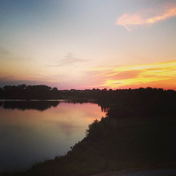
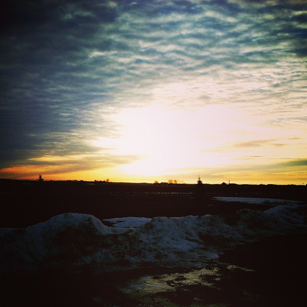
Liquid Sunset [ View Large ]

Plum Crazy Dodge Charger [right view]

Theta360 in backyard
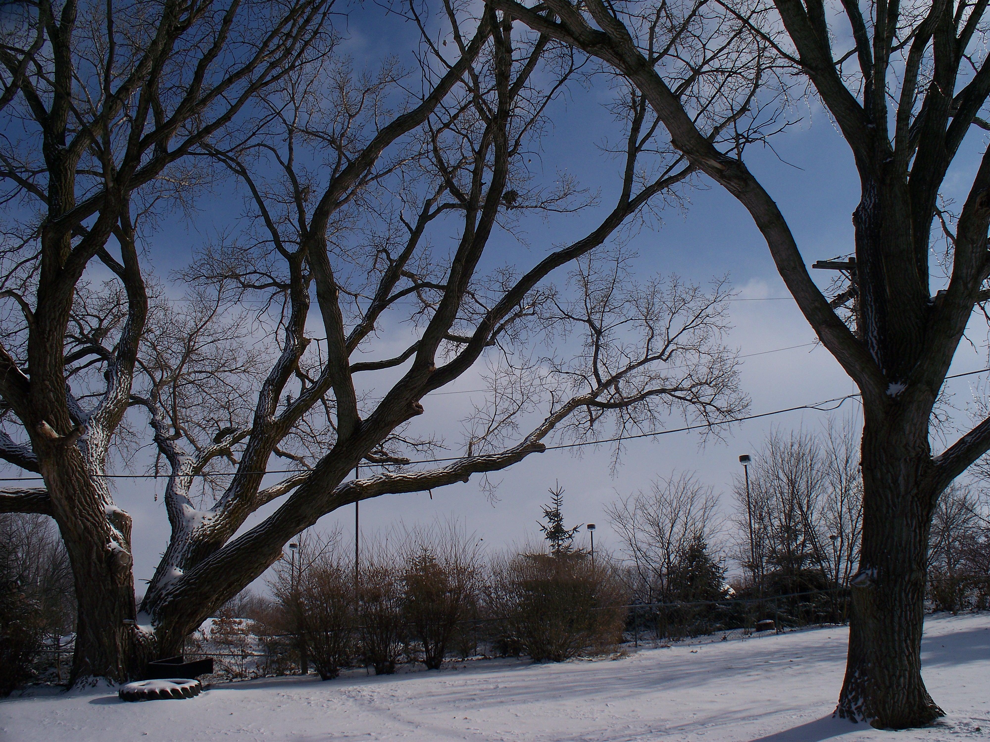
First Snow
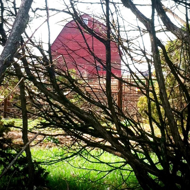
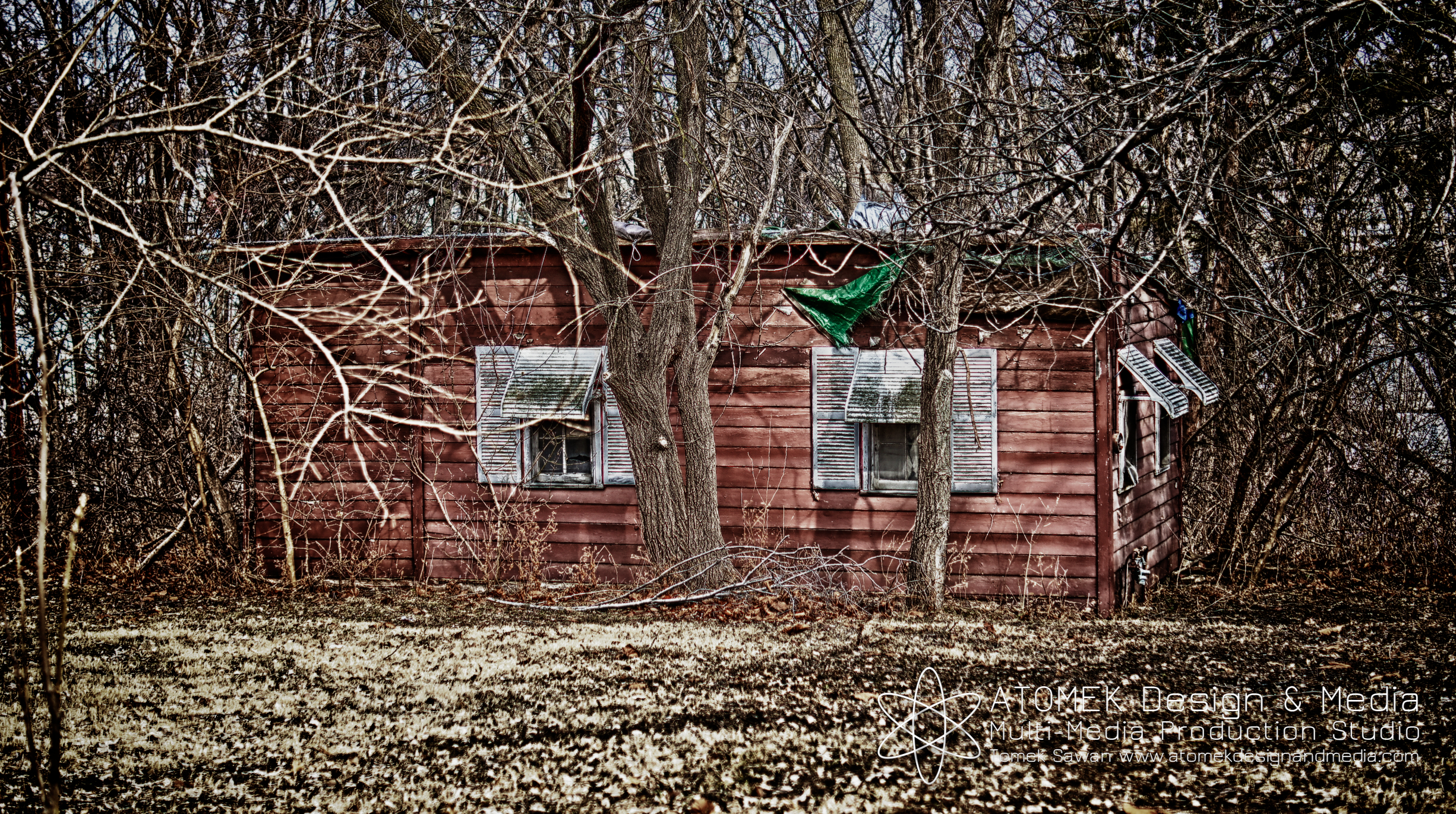
Obstructed View #red #barn #old #trees #treeporn #randombranchiness #onthefarm #meadne #outandabout #morning #alone #nothingisordinary #whpthroughthetrees #iphone #iphone4 #iphoneonly #iphoneography #ig #igers
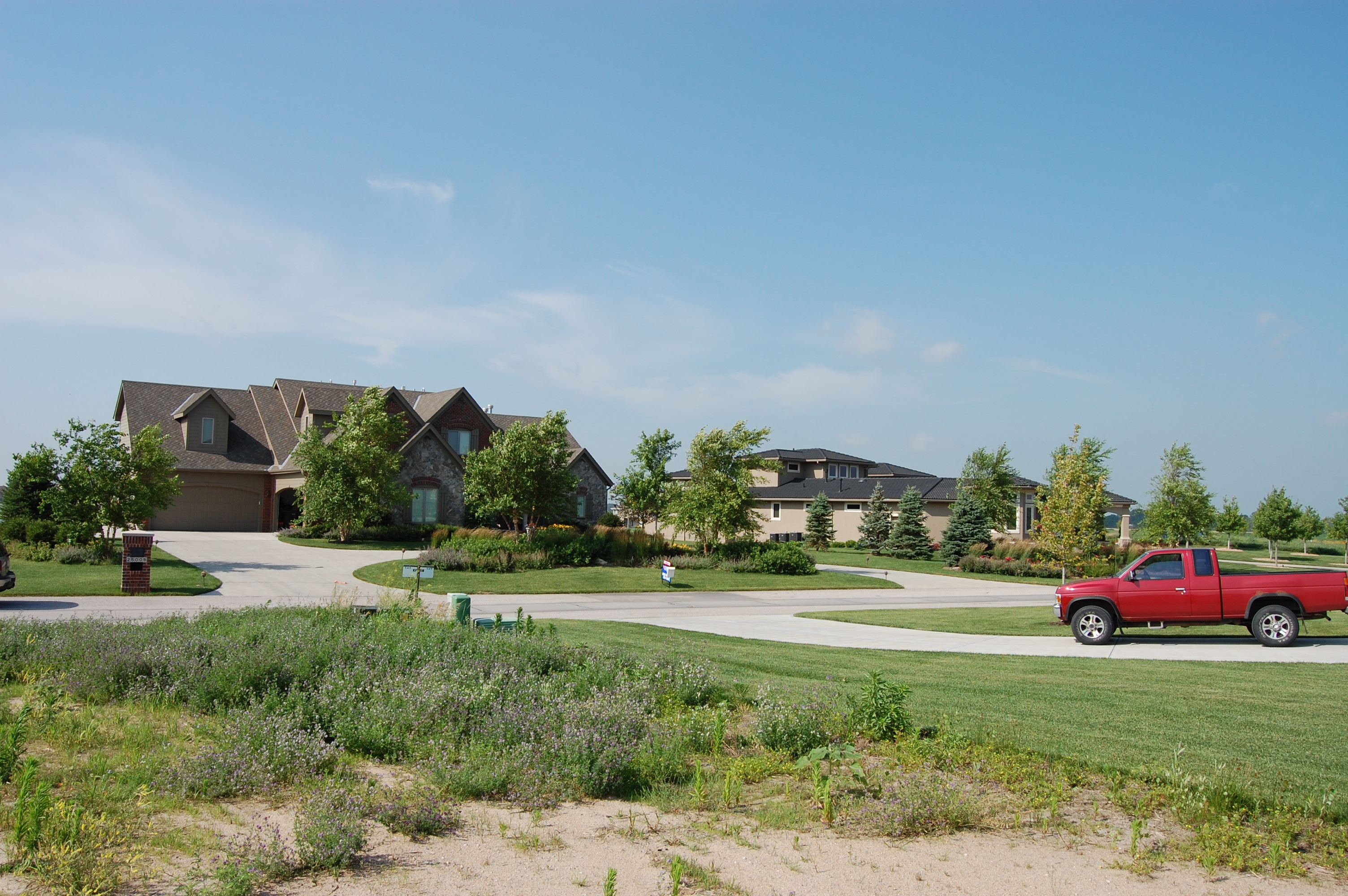
Street View of West Shores - Omaha, Nebraska
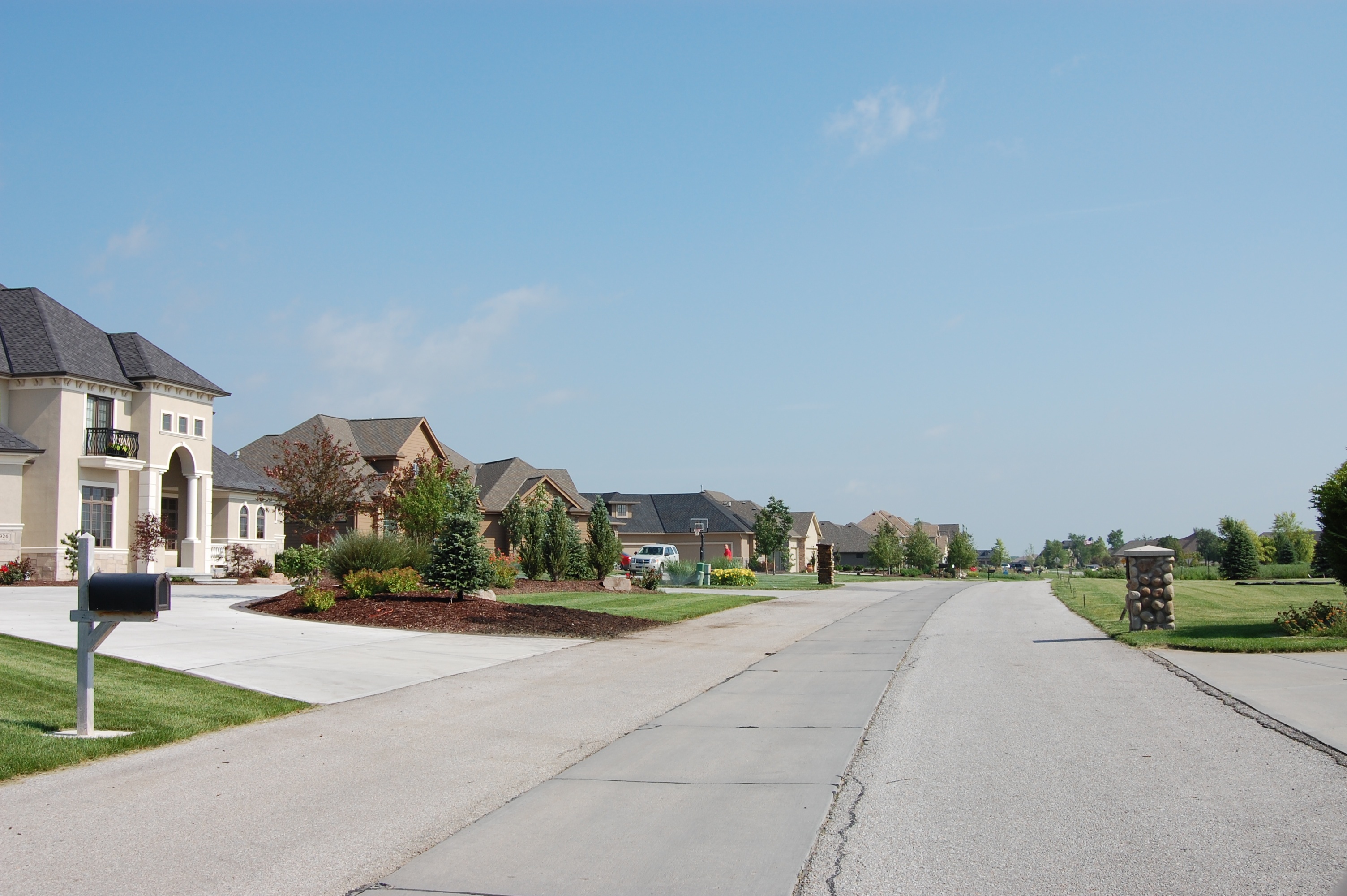
Street View of West Shores - Omaha, Nebraska
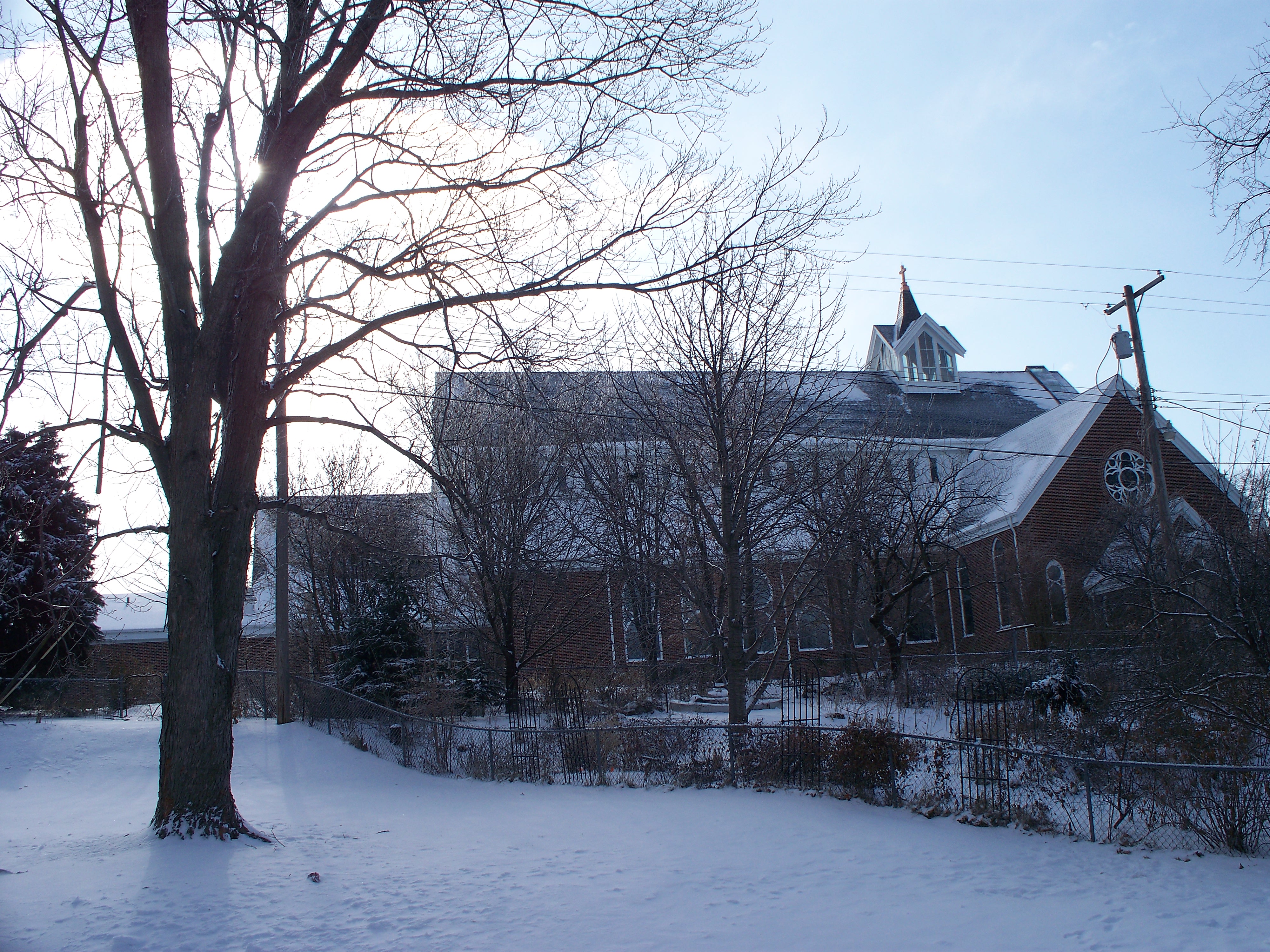
Snowy Church
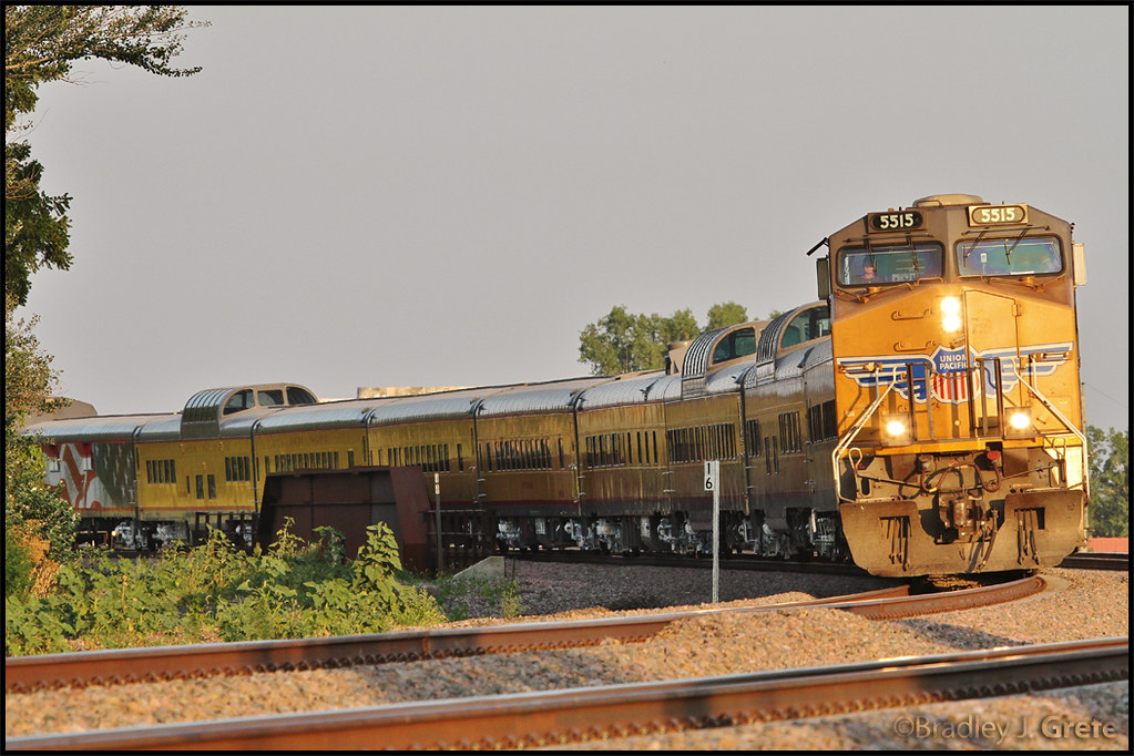
UP 5515 - SCBCY-15 - Millard NE

candy.
View from tonight. Beautiful evening for a run. #f3coalminer

And today's color is YELLOW!!

UP 509 - 144th St Bridge - Millard NE

MidStates Gas & Electric
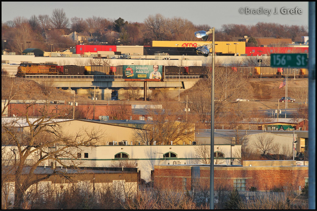
UP 7193 - 144th St from 157th St.
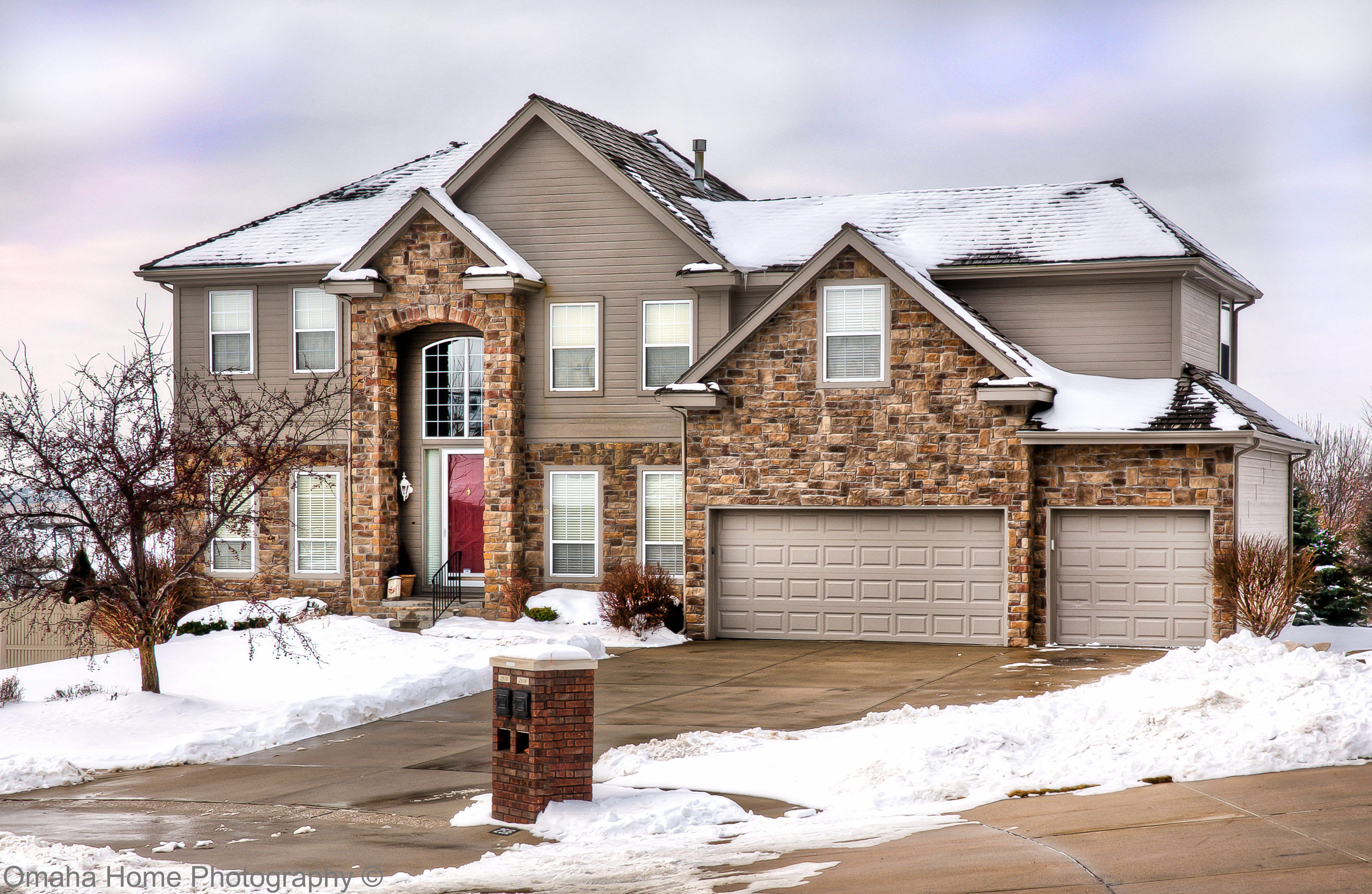
2510 N 158th Cir 01

Little House On the Prarie

2011-08-10_20-45-29_619

The Good Life

P1000091.JPG
DSC00536_HDR (1)

_DSC8195 (1)
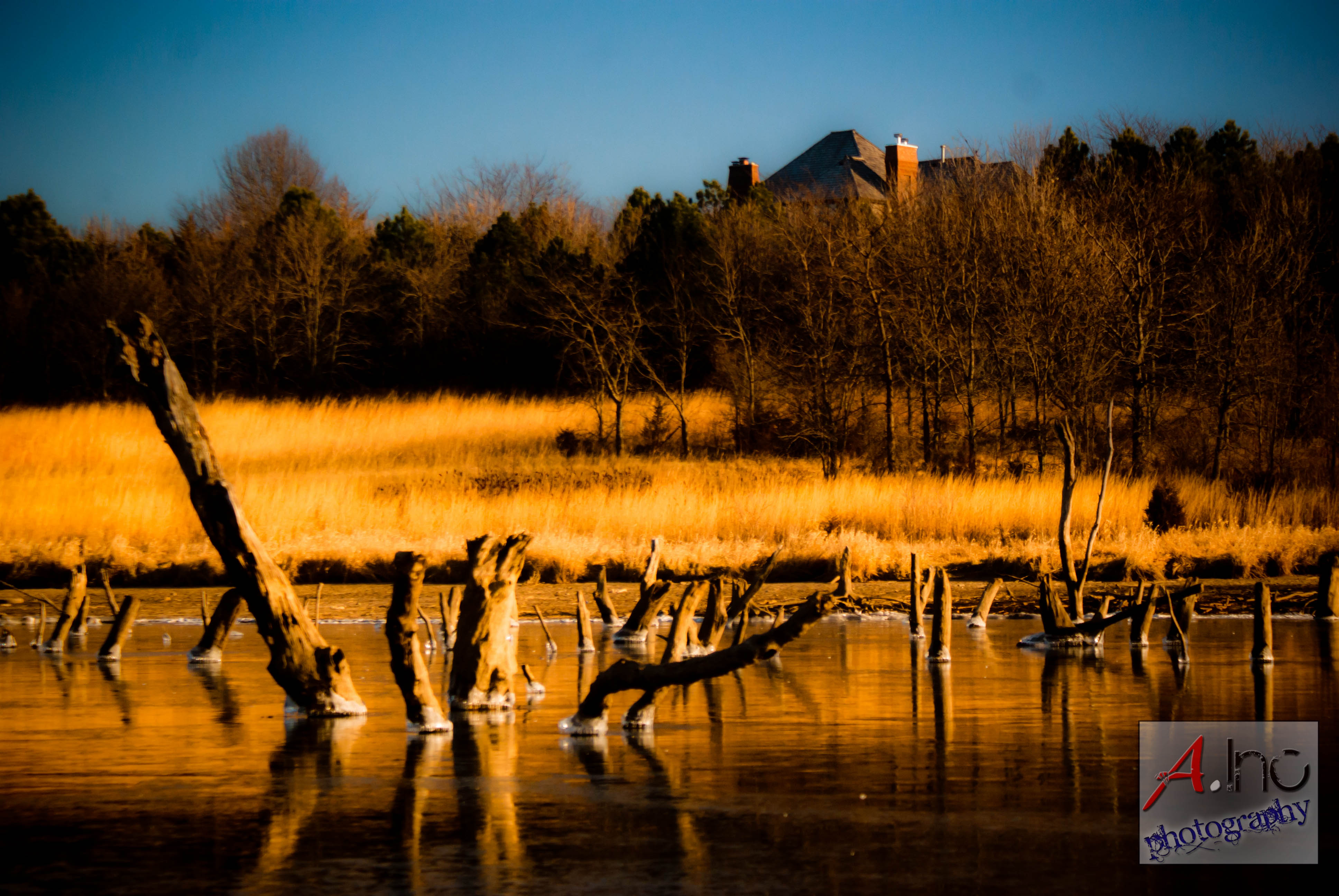
Zorinsky Lake2
P1000082.JPG
One More #Sunrise Picture #sky #skyporn #clouds #cloudporn #sun #sunday #morning #church #meadne #iphone #iphone4 #iphoneonly #iphoneography #kitcam #accent #color_vibe #ig #igers

On The Tracks

One of my favorite parts of Lake Zorinsky.

IMG_0936 - Version 2

Hot air balloon right above our apartment complex! So low and cool #balloon #hotairballon #day #cool #city
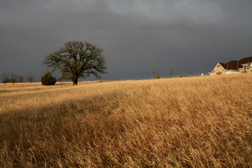
Bur Oak Savanna

THE PATH WELL-TRAVELED
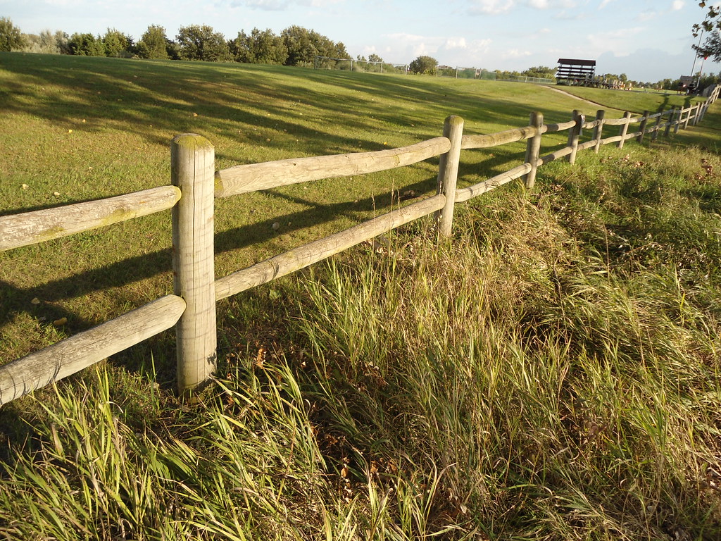
Evening Fence

Corn Field HDR (44)

And one more, for good measure.

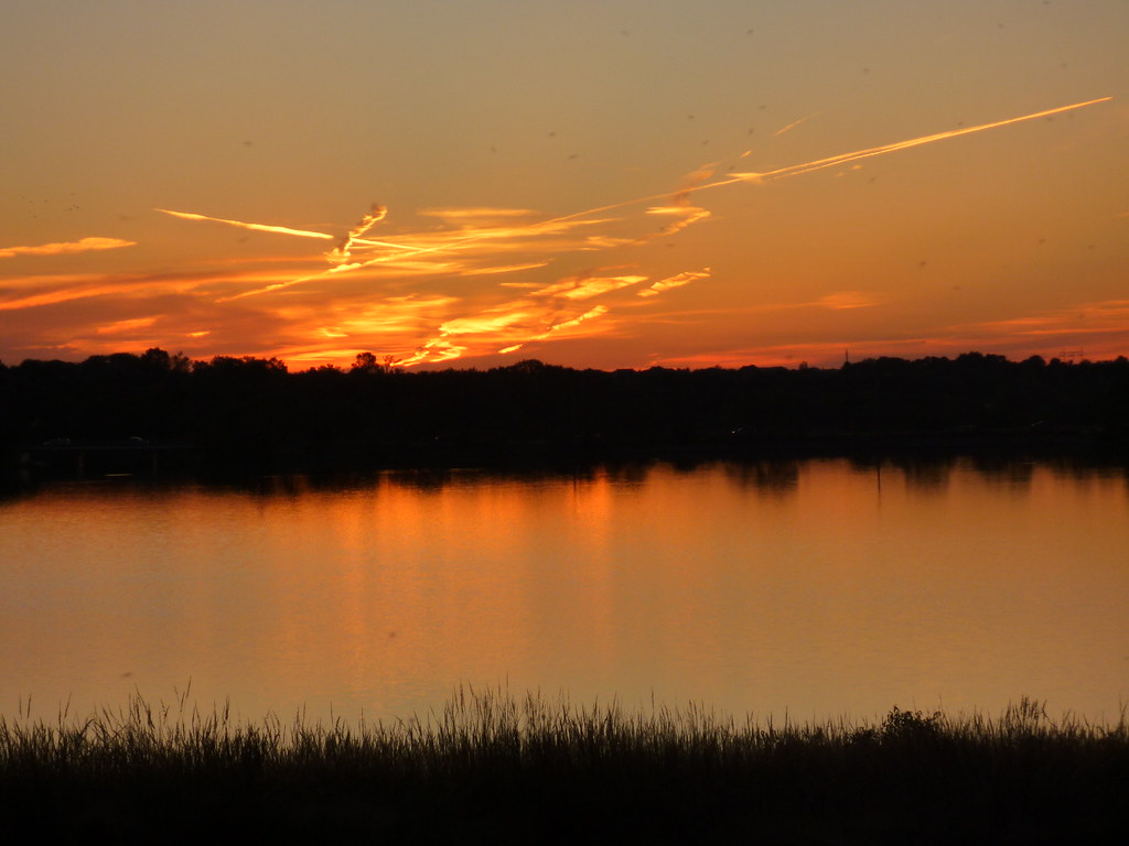
#omaha #sunset
Topographic Map of Waterloo, NE, USA
Find elevation by address:

Places in Waterloo, NE, USA:
Places near Waterloo, NE, USA:
1305 S 258th St
810 2nd St
704 2nd St
Waterloo
22020 Pacific St
S th St, Elkhorn, NE, USA
West Maple Road & North 216th Street
West Maple Road & North 216th Street
Chicago
Elkhorn
5102 210th St
5102 210th St
5102 210th St
Harrison Park West
6120 S 189th Ave
31520 Arbor St
1315 S 178th St
22604 Schram Rd
Millard
Gretna
Recent Searches:
- Elevation of Corso Fratelli Cairoli, 35, Macerata MC, Italy
- Elevation of Tallevast Rd, Sarasota, FL, USA
- Elevation of 4th St E, Sonoma, CA, USA
- Elevation of Black Hollow Rd, Pennsdale, PA, USA
- Elevation of Oakland Ave, Williamsport, PA, USA
- Elevation of Pedrógão Grande, Portugal
- Elevation of Klee Dr, Martinsburg, WV, USA
- Elevation of Via Roma, Pieranica CR, Italy
- Elevation of Tavkvetili Mountain, Georgia
- Elevation of Hartfords Bluff Cir, Mt Pleasant, SC, USA