Elevation of Wat Rat Upatham (Wat Bang Riang), Bang Riang, Thap Put District, Phang-nga, Thailand
Location: Japan > Phang-nga > Thap Put District > Bang Riang >
Longitude: 98.6691603
Latitude: 8.5922308
Elevation: 60m / 197feet
Barometric Pressure: 101KPa
Elevation Map:
Satellite Map:
Related Photos:

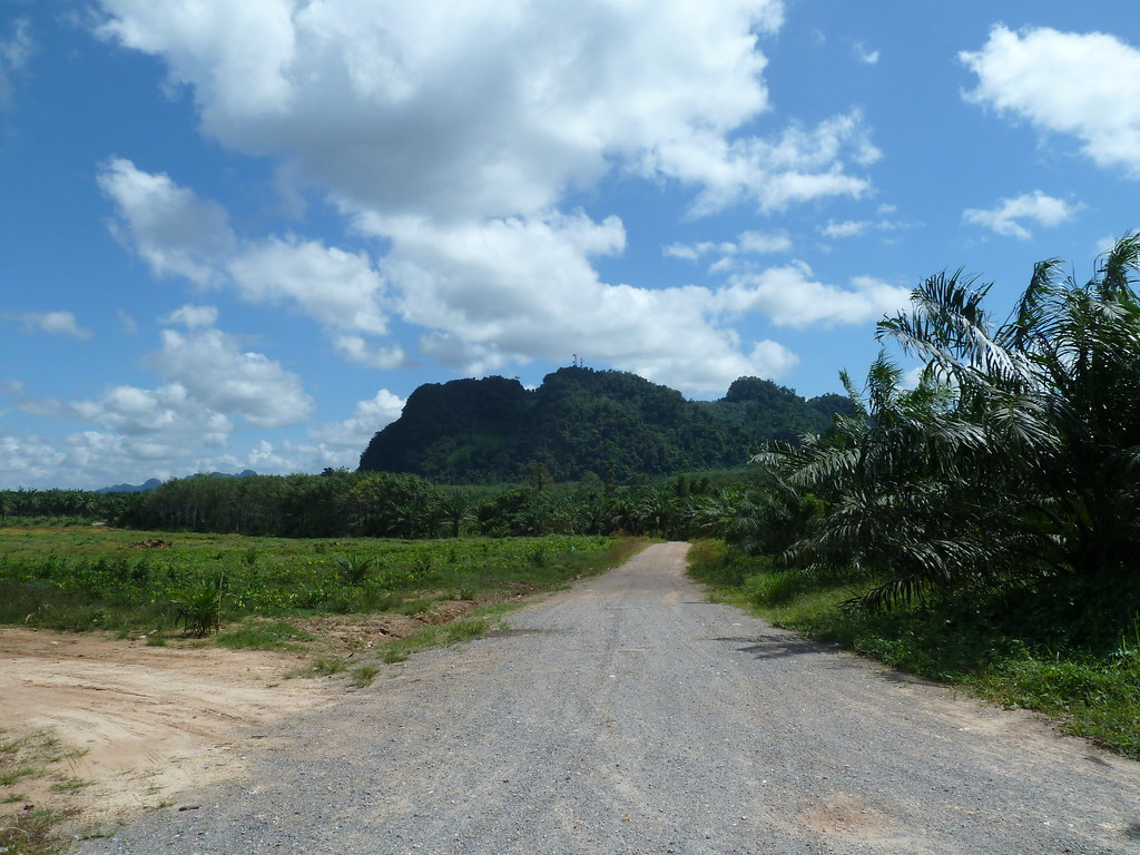
View towards Phang-Nga bay
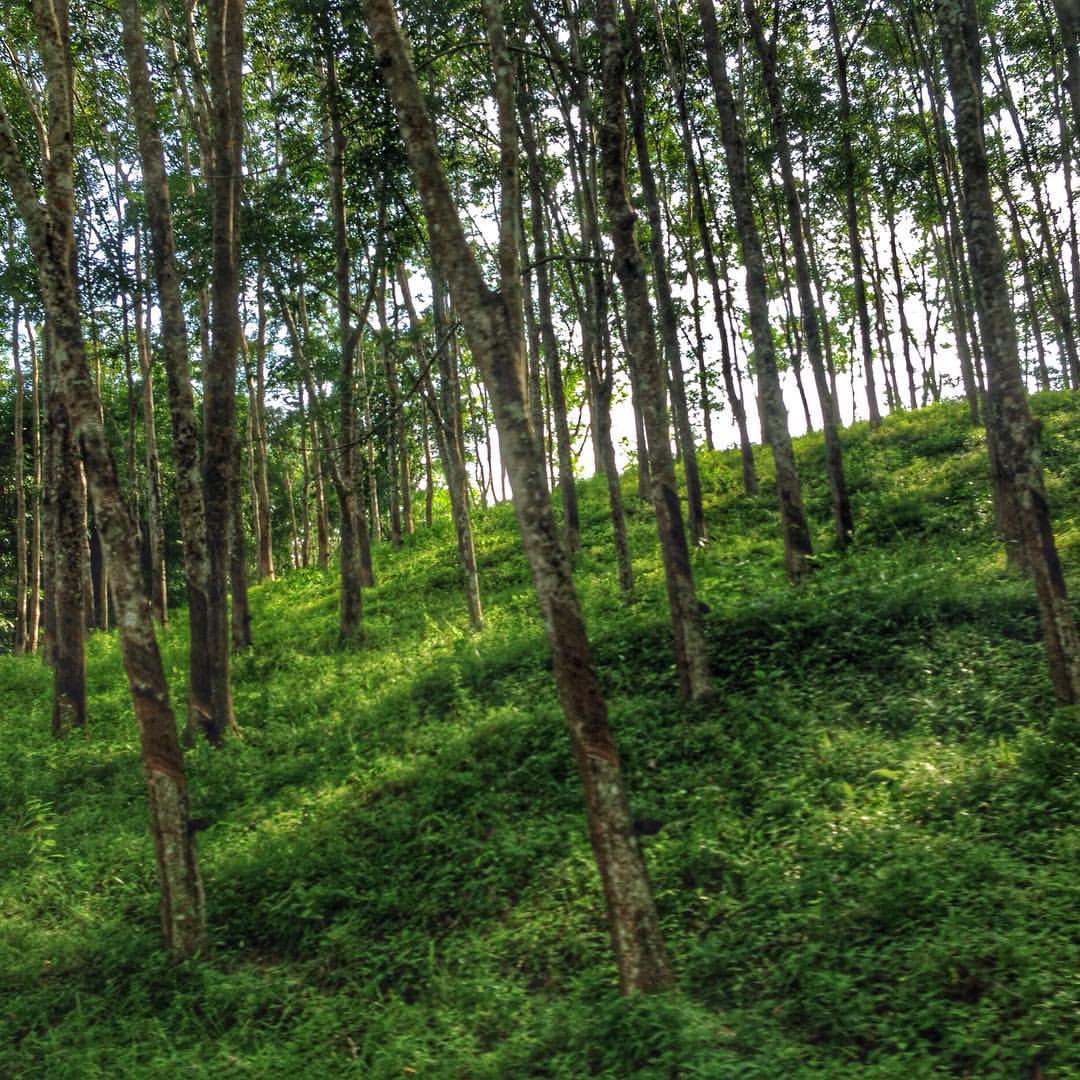
อยากเจอแต่สีเขียวจัง #iphone5
Going to Krabi
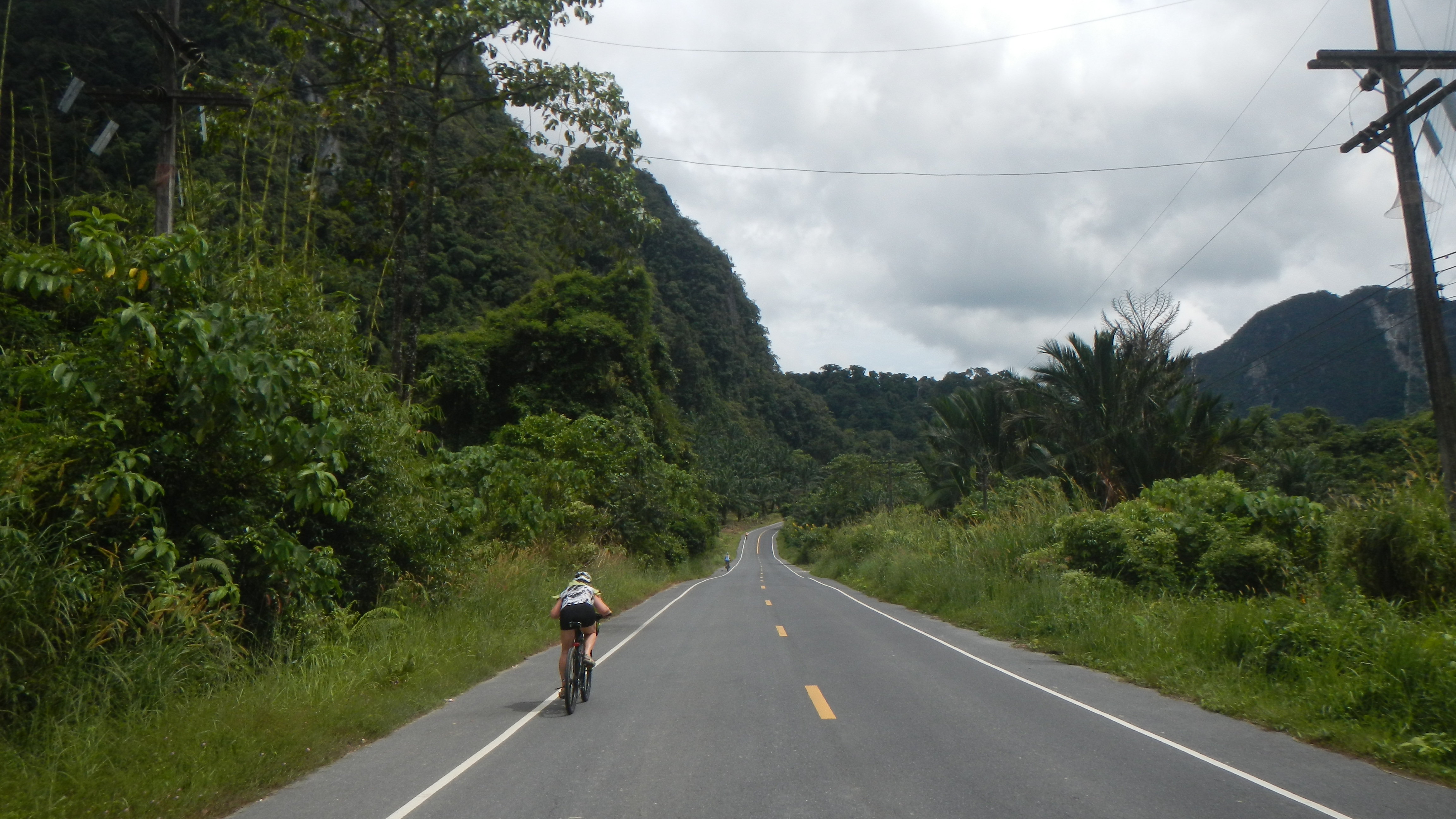
Private Trip, Wikinger Ride
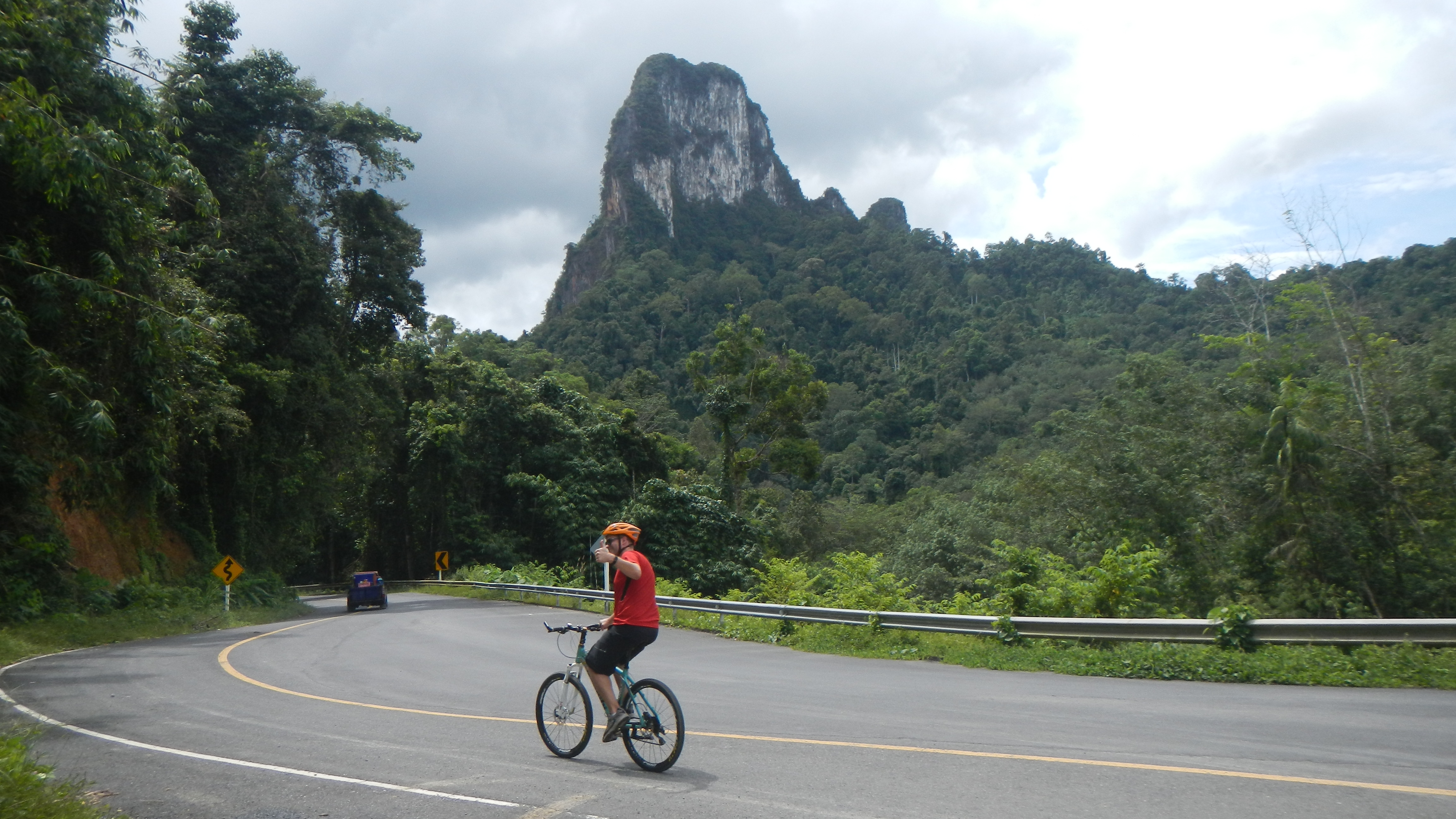
Private Trip, Wikinger Ride
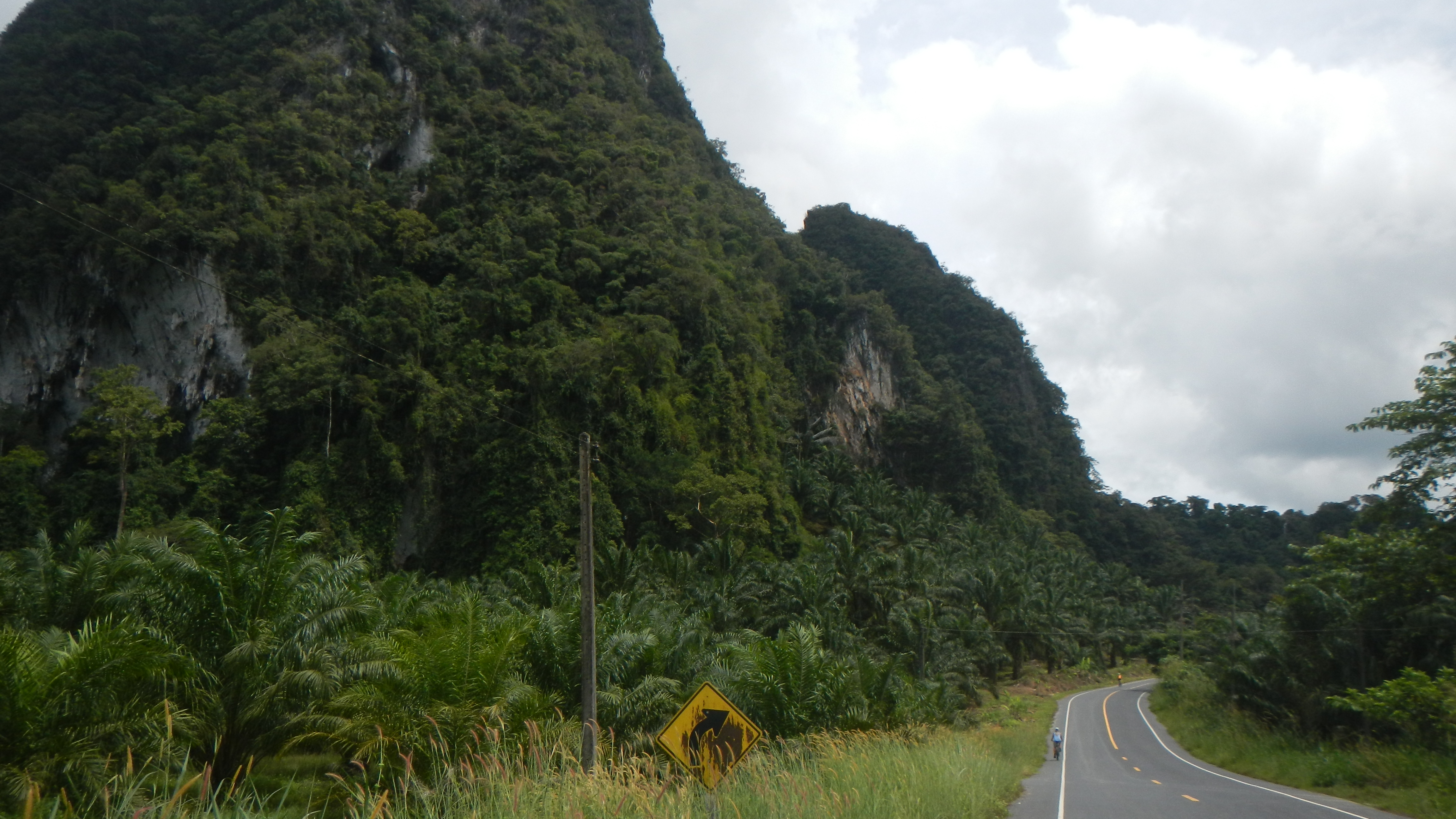
Private Trip, Wikinger Ride
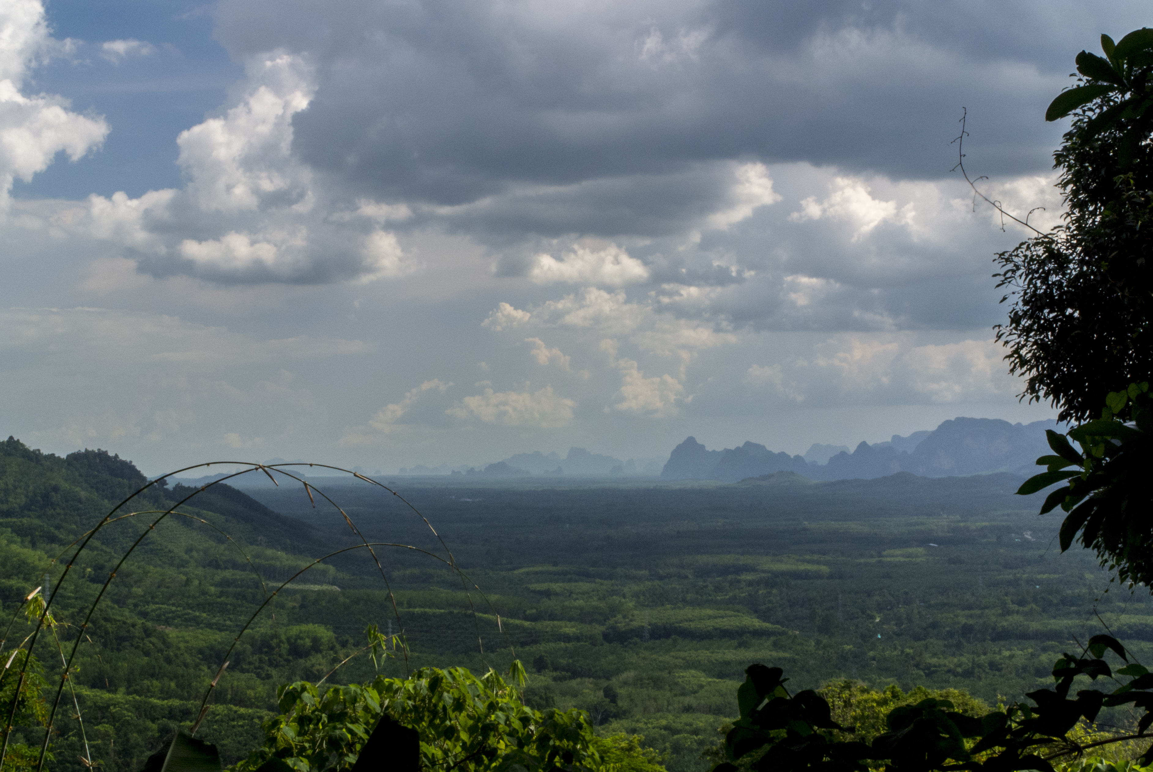
DSC_1709-JBP

Wat Bang Riang

Dragon Cave Temple

Dragon Cave Temple
Topographic Map of Wat Rat Upatham (Wat Bang Riang), Bang Riang, Thap Put District, Phang-nga, Thailand
Find elevation by address:

Places near Wat Rat Upatham (Wat Bang Riang), Bang Riang, Thap Put District, Phang-nga, Thailand:
Bang Riang
Thap Put District
Katathong Golf Resort & Spa
Phanom District
Phang-nga
Khlong Sok
Khao Sok National Park
Surat Thani
Khao Luang
700, 160 Moo 1
Recent Searches:
- Elevation of Kreuzburger Weg 13, Düsseldorf, Germany
- Elevation of Gateway Blvd SE, Canton, OH, USA
- Elevation of East W.T. Harris Boulevard, E W.T. Harris Blvd, Charlotte, NC, USA
- Elevation of West Sugar Creek, Charlotte, NC, USA
- Elevation of Wayland, NY, USA
- Elevation of Steadfast Ct, Daphne, AL, USA
- Elevation of Lagasgasan, X+CQH, Tiaong, Quezon, Philippines
- Elevation of Rojo Ct, Atascadero, CA, USA
- Elevation of Flagstaff Drive, Flagstaff Dr, North Carolina, USA
- Elevation of Avery Ln, Lakeland, FL, USA