Elevation of Washington Township, MO, USA
Location: United States > Missouri > Greene County >

Longitude: -93.127785

Latitude: 37.1169082

Elevation: 420m / 1378feet

Barometric Pressure: 96KPa

Elevation Map:

elevation map of Washington Township, MO, USA

Satellite Map:

Satellite map of Washington Township, MO, USA
Related Photos:

I'm looking right at you! View Large!
Enjoying The View At Eagle Point
mill nikon missouri ozark d800 finleyriver christiancounty ozarkmill 2470mmf28nikkor ©copyright hooversmill finleyrivermill
Ozark Mill - No. 1
bird nature back hawk mo raptor springfield redshouldered sonyα
Rear view
macro nature butterfly
Painted Lady -being picked on by a pearl crescent! View large
mill nikon missouri ozark d800 finleyriver christiancounty ozarkmill 2470mmf28nikkor ©copyright hooversmill finleyrivermill
Ozark Mill - No. 2
macro nature butterfly
Painted Lady Portrait -Best viewed large
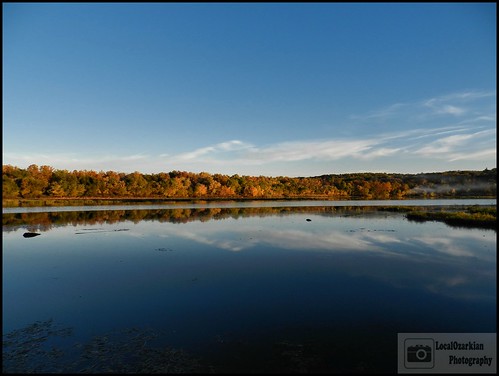
lake fall water nikon fallcolors missouri ozarks springfieldmissouri springfieldlake lakespringfield southwestmissouri nikoncoolpixp500 localozarkian missourifall greencountymissouri ozarksfall missourifallcolors ozarksfallcolors lakespringfieldpark
Enjoying the View
flowers macro nature canon butterfly grey mark ii 5d 100 28 mm hairstreak
Grey Hairstreak Macro -best viewed large
mill nikon missouri ozark d800 finleyriver christiancounty ozarkmill 2470mmf28nikkor ©copyright hooversmill finleyrivermill
Ozark Mill - No. 3
missouriscenery
Pavilion View
powerplant gsa springfieldmissouri nikond40x journal2009 lookslikeastrandedship
Springfield Power Plant
wedding gsa hotelroom springfieldmissouri qualityinn nikond40x journal2009
View from the bath
selfportrait gsa fauxlomo springfieldmissouri 365days nikond40x auntmarthaspancakehouse garyandginger journal2011
Breakfast at Aunt Martha's Pancake House
nature butterfly giant swallowtail
Giant Swallowtail VIEW ORIGINAL!!
365
One Year
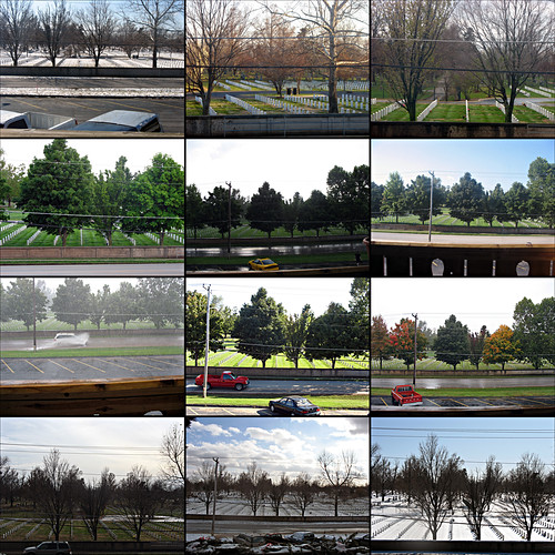
civilwar missouri springfield transmississippi cwpt annualconference2008 warintheozarks
Battle of Springfield Monument - Springfield National Cemetary
canon mark ii l 5d usm ef 100400
If you have time, view full size!
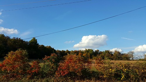
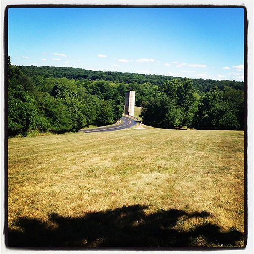
auto autumn cloud fall field leaves landscape outdoors scenery bright fallcolors vivid sunny bluesky autumncolors clear roadside partlycloudy noediting springfieldmo scatteredclouds farmroad ruralmissouri nofilters southwestmissouri mobilephotography ruralroute uneditedoriginal galaxys6
... on the other side
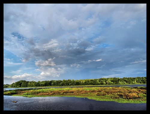
double the view after the storm
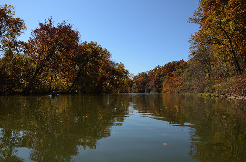
kayaking paddling carmounts ozarkswalkabout
Paddling July 1, 2013 Lake Springfield / Jame's River
Follow The Color
Lake Springfield
Springfield Conservation Nature Center
valencia square squareformat iphoneography instagramapp uploaded:by=instagram foursquare:venue=4ed9806f8b8173160b45f42e
The sky is on fire!
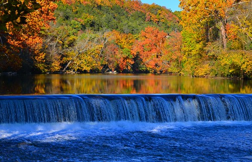
Fall At Lake Springfield
square lofi squareformat iphoneography instagramapp uploaded:by=instagram foursquare:venue=4c8648acdc018cfad50aee6c
Getting ready to find a #geocache
Fall At Lake Springfield
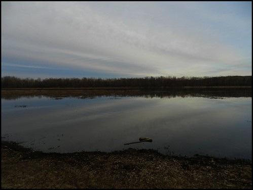
Lake Springfield
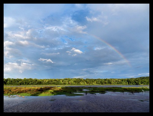
Rainbow over Lake Springfield
outdoors missouri kayaking springfield gsa ozarks jamesriver nikond7000 ascendd10kayak journal2011
Ginger Kayaking on James River, Springfield Missouri
Rainbow over Lake Springfield
nature canon wildlife center missouri 7d springfield
Landscape 001
Lindenlure falls
Fall Afternoon
springfieldconservationnaturecenter uploaded:by=flickrmobile flickriosapp:filter=peacock peacockfilter
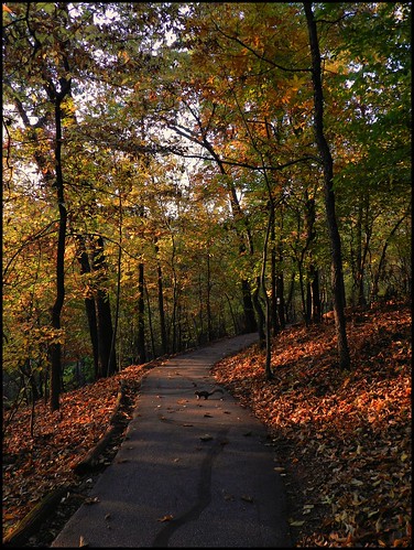
Long trail
Fall Afternoon
nature canon wildlife center missouri 7d springfield
Landscape 002
Linden Lure Falls
lake fall water nikon fallcolors missouri ozarks springfieldmissouri springfieldlake lakespringfield southwestmissouri nikoncoolpixp500 localozarkian missourifall greencountymissouri ozarksfall missourifallcolors ozarksfallcolors lakespringfieldpark
Fall Colors
lake fall water nikon fallcolors missouri ozarks springfieldmissouri springfieldlake lakespringfield southwestmissouri nikoncoolpixp500 localozarkian missourifall greencountymissouri ozarksfall missourifallcolors ozarksfallcolors lakespringfieldpark
*5000th UPLOADED PICTURE* Lake Springfield