Elevation of Washington St, Port Lavaca, TX, USA
Location: United States > Texas > Calhoun County > Port Lavaca >
Longitude: -96.402969
Latitude: 28.446704
Elevation: 2m / 7feet
Barometric Pressure: 101KPa
Elevation Map:
Satellite Map:
Related Photos:
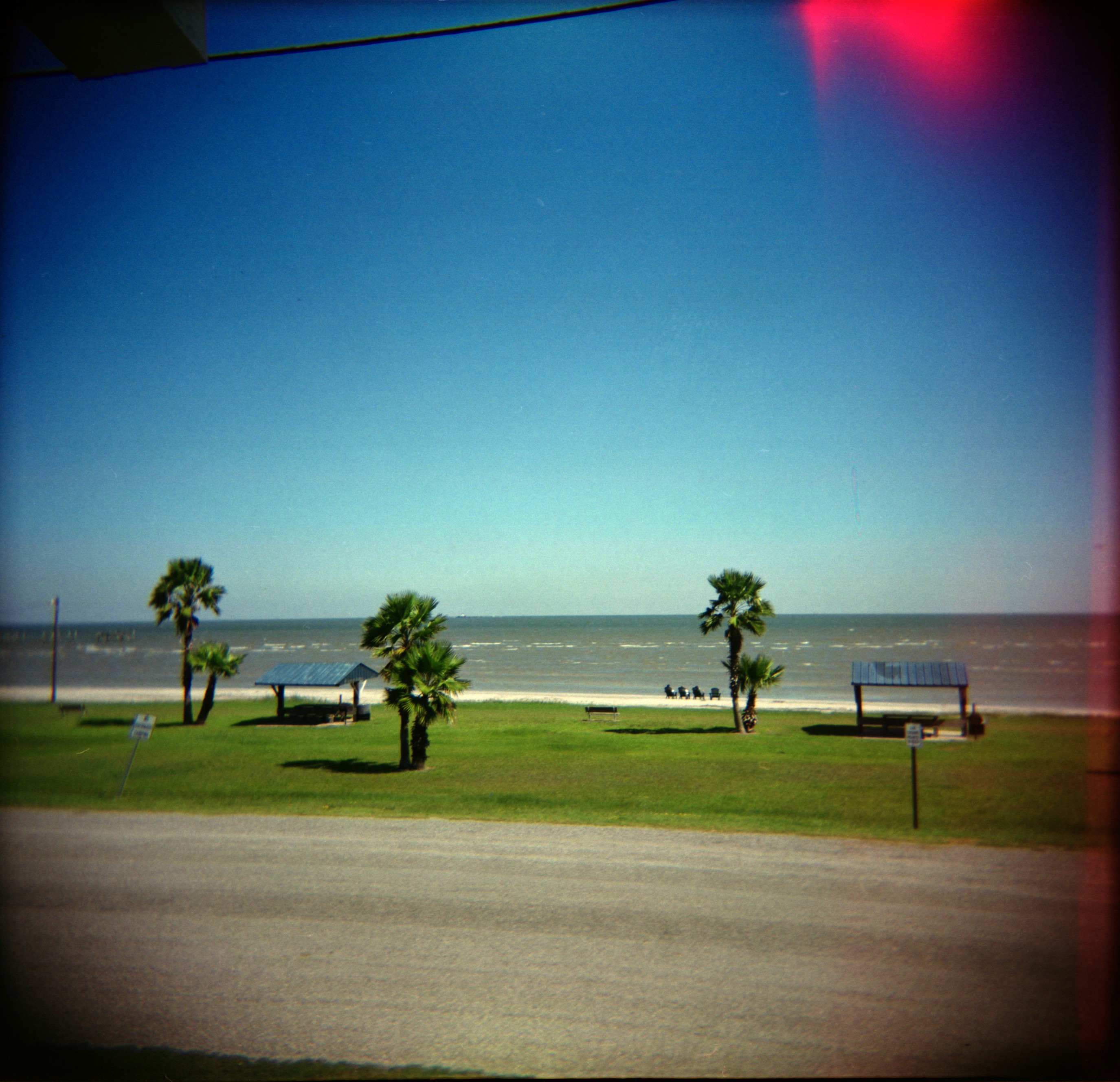
Port O'Connor

Departing the slip
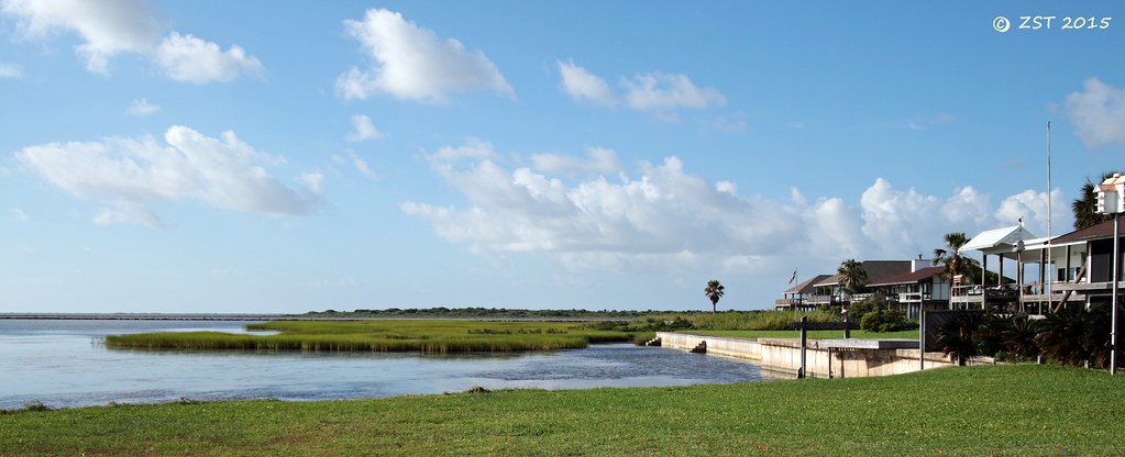
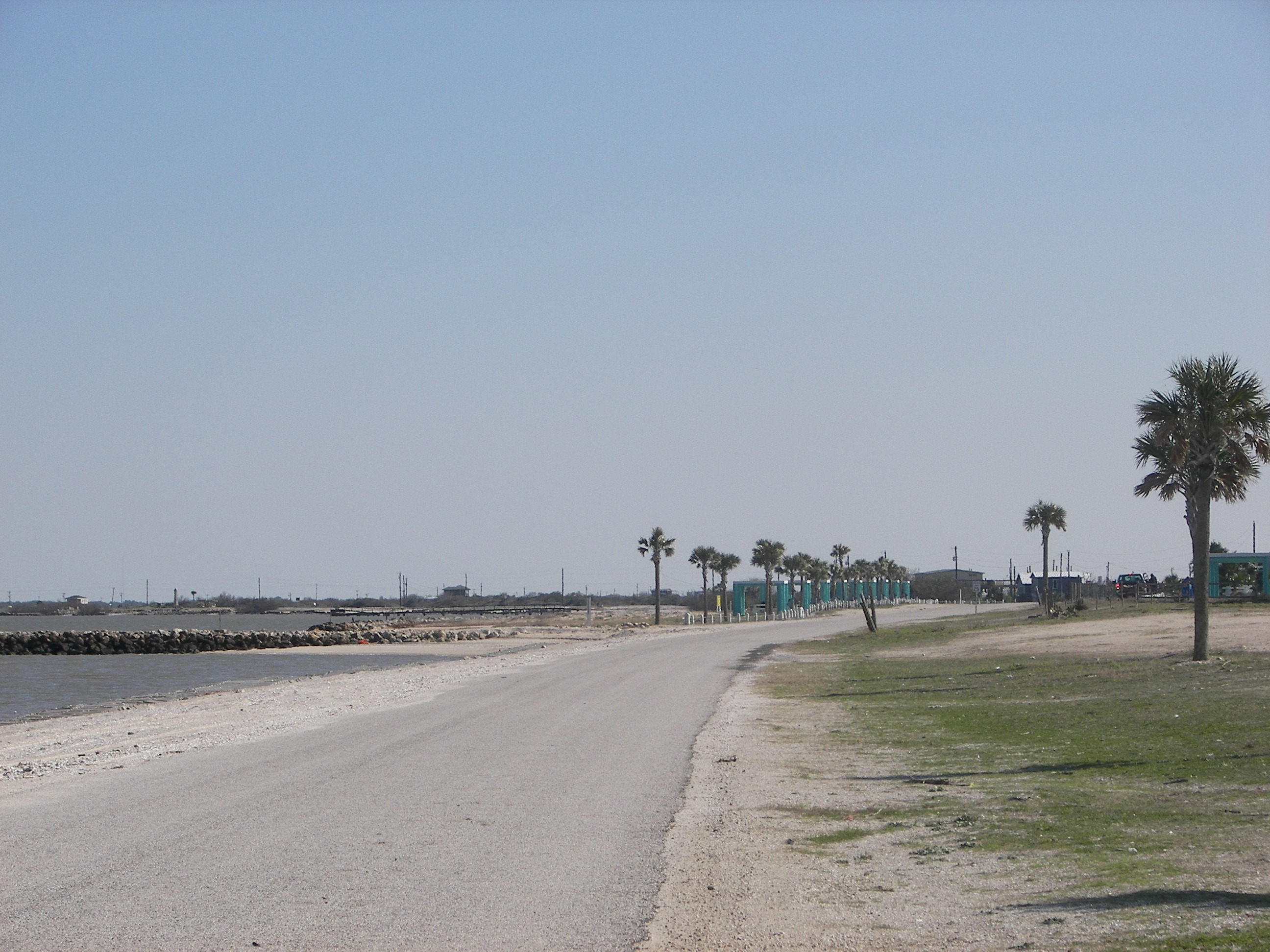
View South from Port O'Connor
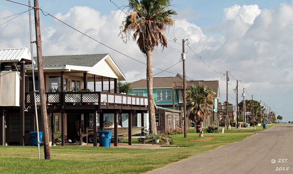
Seafront Properties, Port O'Connor

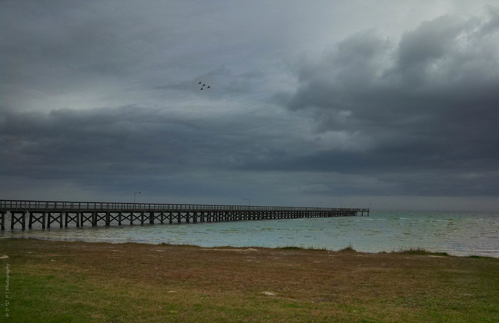
King Fisher Pier
The Long, Long Pier

Morning by the Pool

ICW at Sunrise

new i phone 054
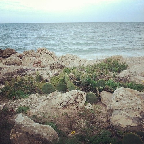
Magnolia Beach cacti...
FF10-68
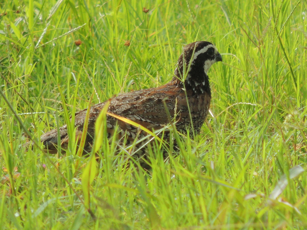
Bobwhite Near Port O'Connor, TX
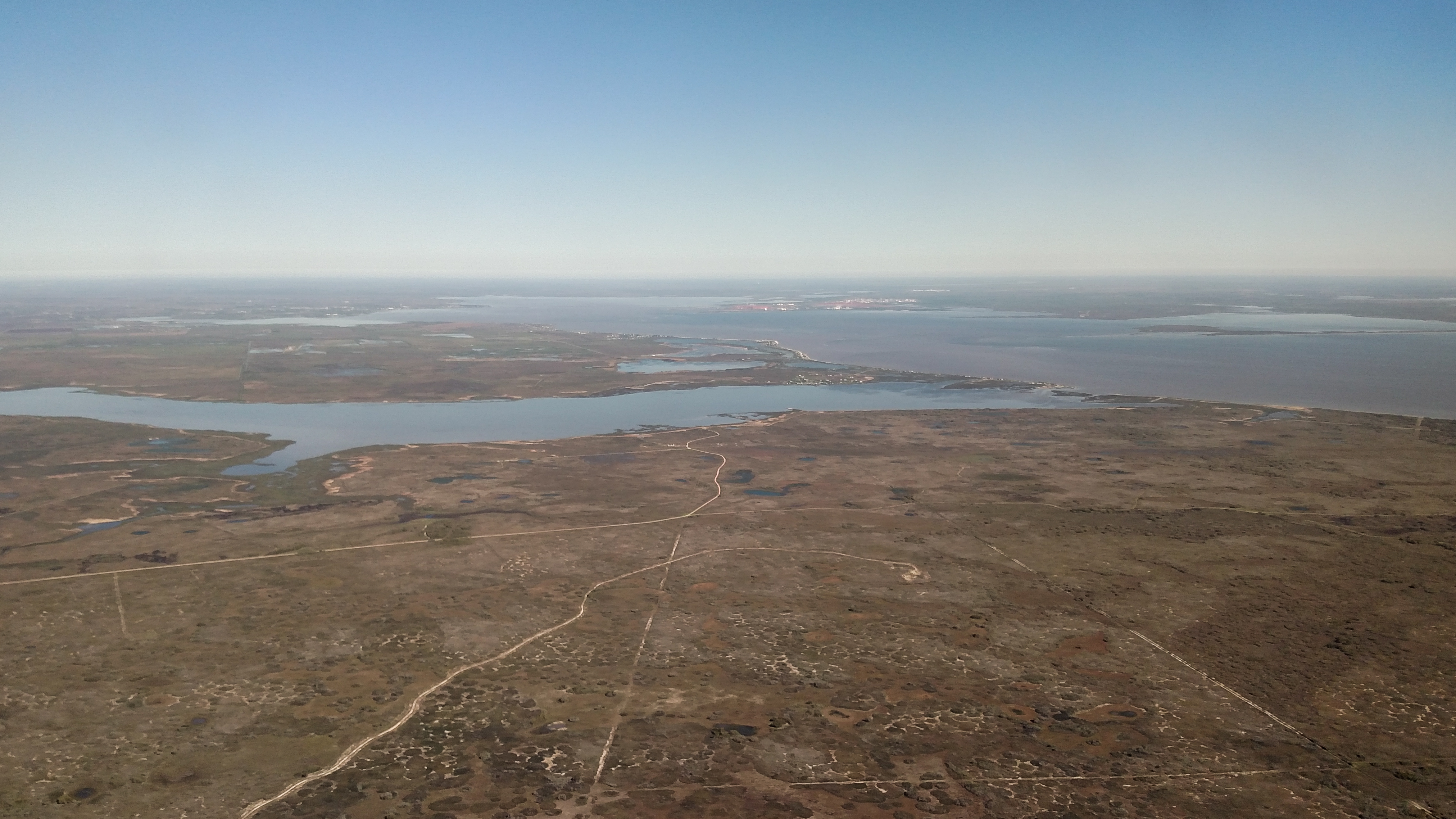
Advanced Flight Training (107 of 126)
Topographic Map of Washington St, Port Lavaca, TX, USA
Find elevation by address:

Places near Washington St, Port Lavaca, TX, USA:
Port O'connor
403 Maple St
415 Maple St
503 Maple St
404 Tx-185
404 Tx-185
Polk Street
Taylor Avenue
Polk Avenue
612 15th St
803 10th St
1517 Harrison Ave
1910 Adams St
Easy Street
2852 Tx-185
3046 Adams St
21 Pelican St
The Sanctuary At Costa Grande
515 White Rd
Calhoun County
Recent Searches:
- Elevation of Corso Fratelli Cairoli, 35, Macerata MC, Italy
- Elevation of Tallevast Rd, Sarasota, FL, USA
- Elevation of 4th St E, Sonoma, CA, USA
- Elevation of Black Hollow Rd, Pennsdale, PA, USA
- Elevation of Oakland Ave, Williamsport, PA, USA
- Elevation of Pedrógão Grande, Portugal
- Elevation of Klee Dr, Martinsburg, WV, USA
- Elevation of Via Roma, Pieranica CR, Italy
- Elevation of Tavkvetili Mountain, Georgia
- Elevation of Hartfords Bluff Cir, Mt Pleasant, SC, USA