Elevation of Washington Rd, Appling, GA, USA
Location: United States > Georgia > Columbia County > Appling >
Longitude: -82.273953
Latitude: 33.62056
Elevation: 127m / 417feet
Barometric Pressure: 100KPa
Elevation Map:
Satellite Map:
Related Photos:
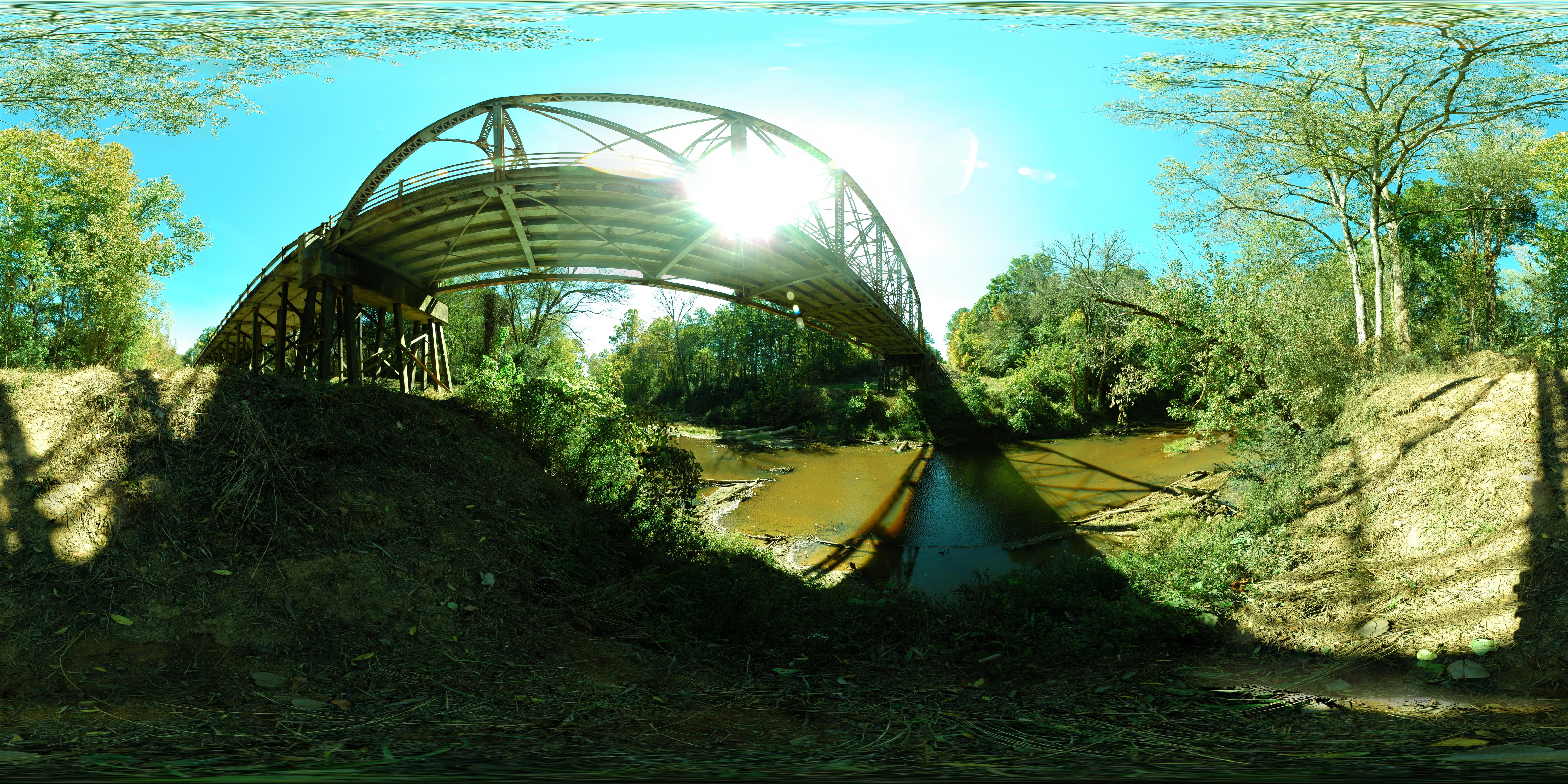
Steven's Creek Heritage Preserve (Bridge)
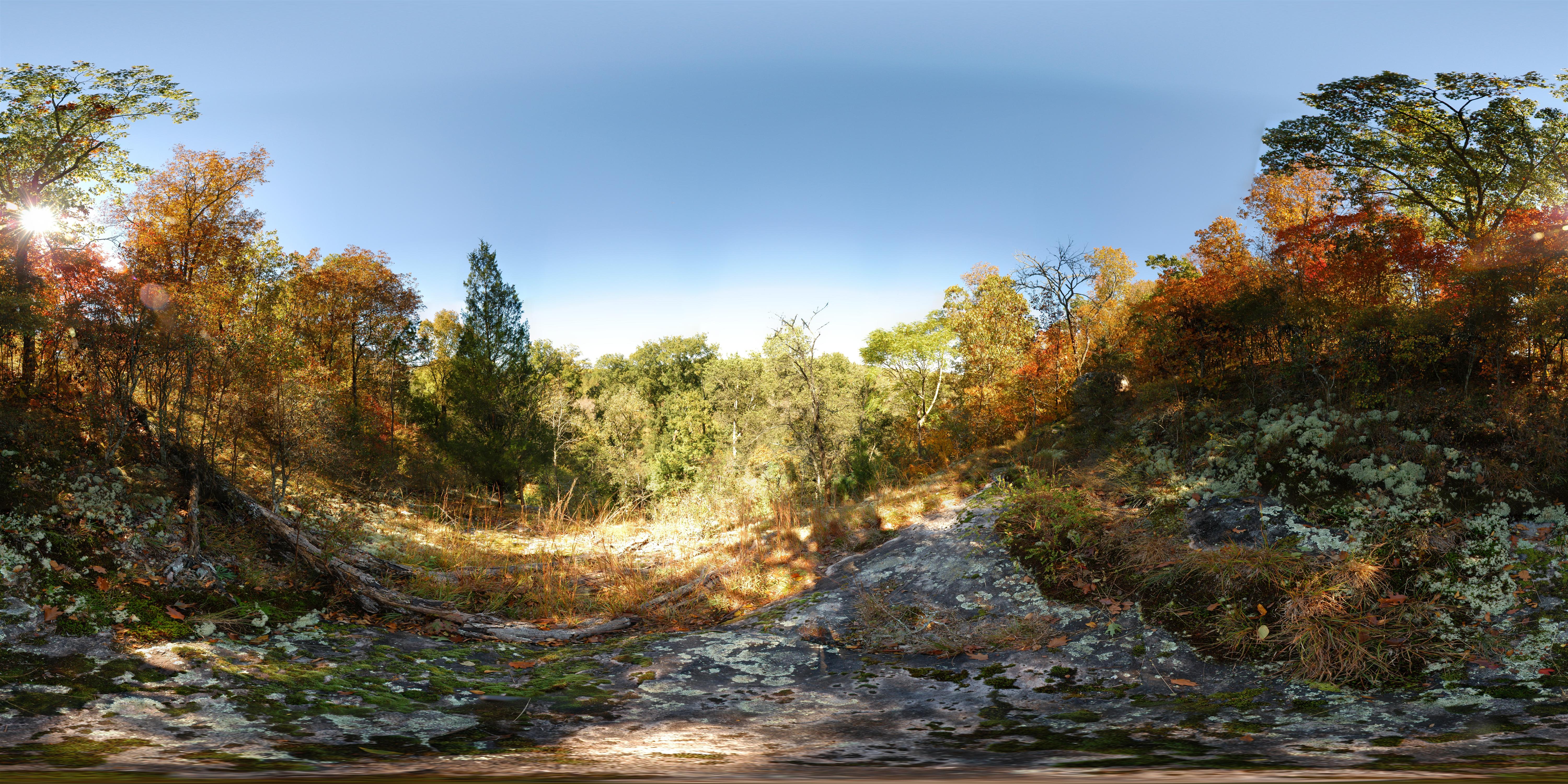
Steven's Creek Heritage Preserve - Overlook
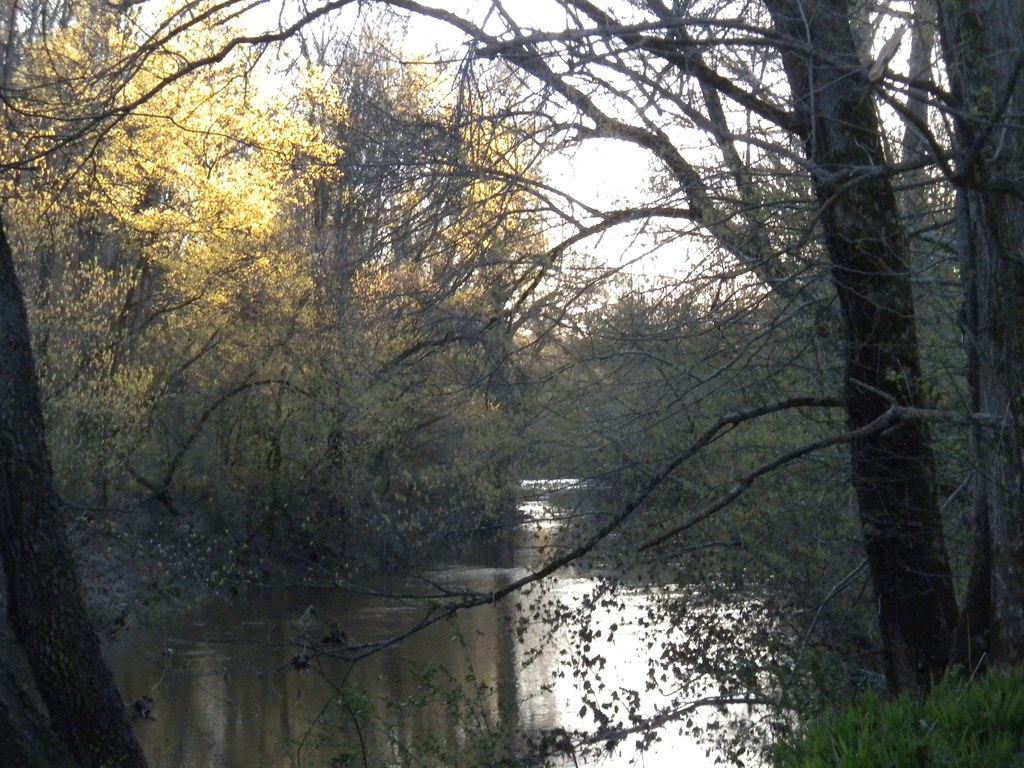
Stevens Creek
Key Branch
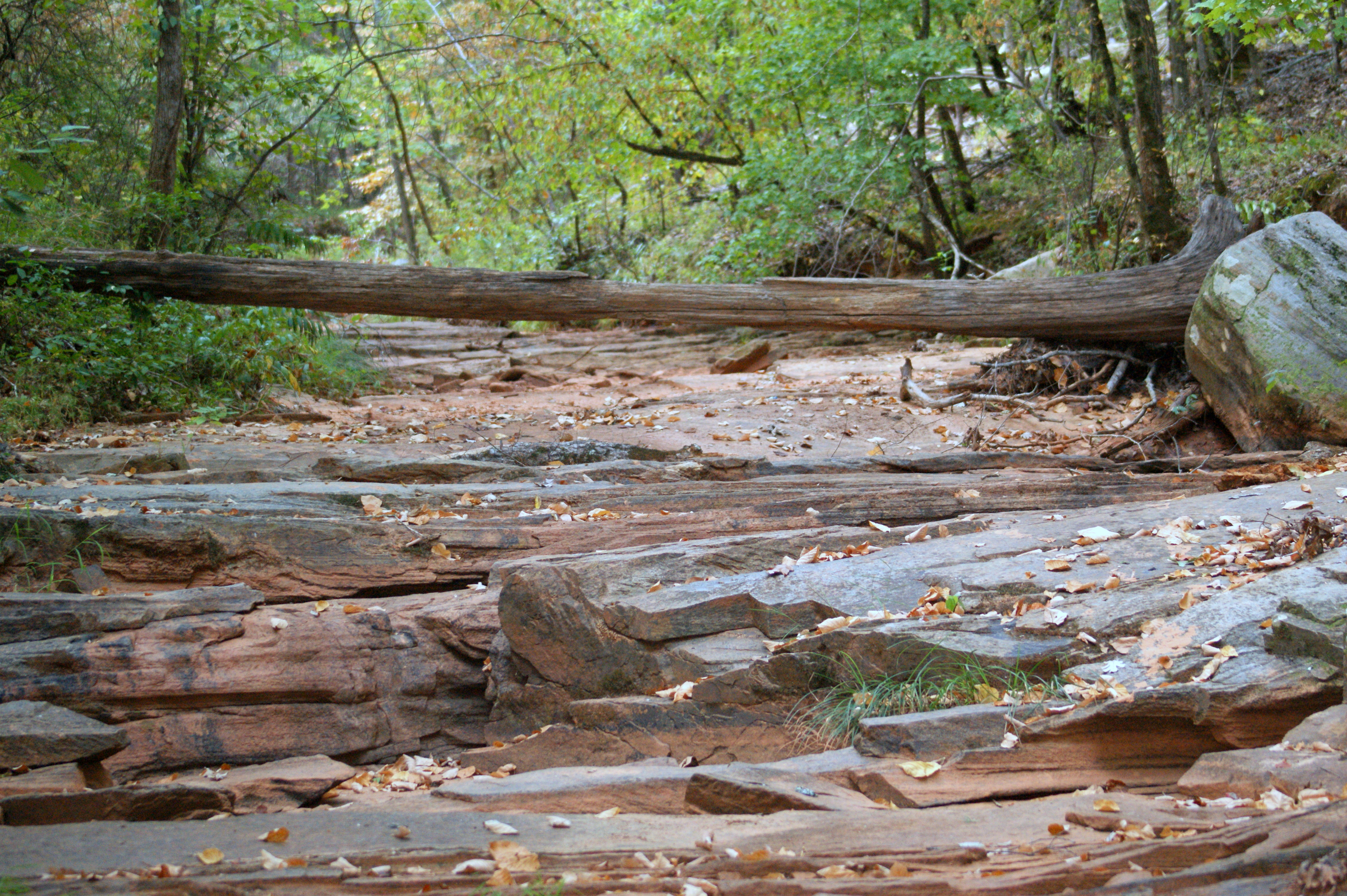
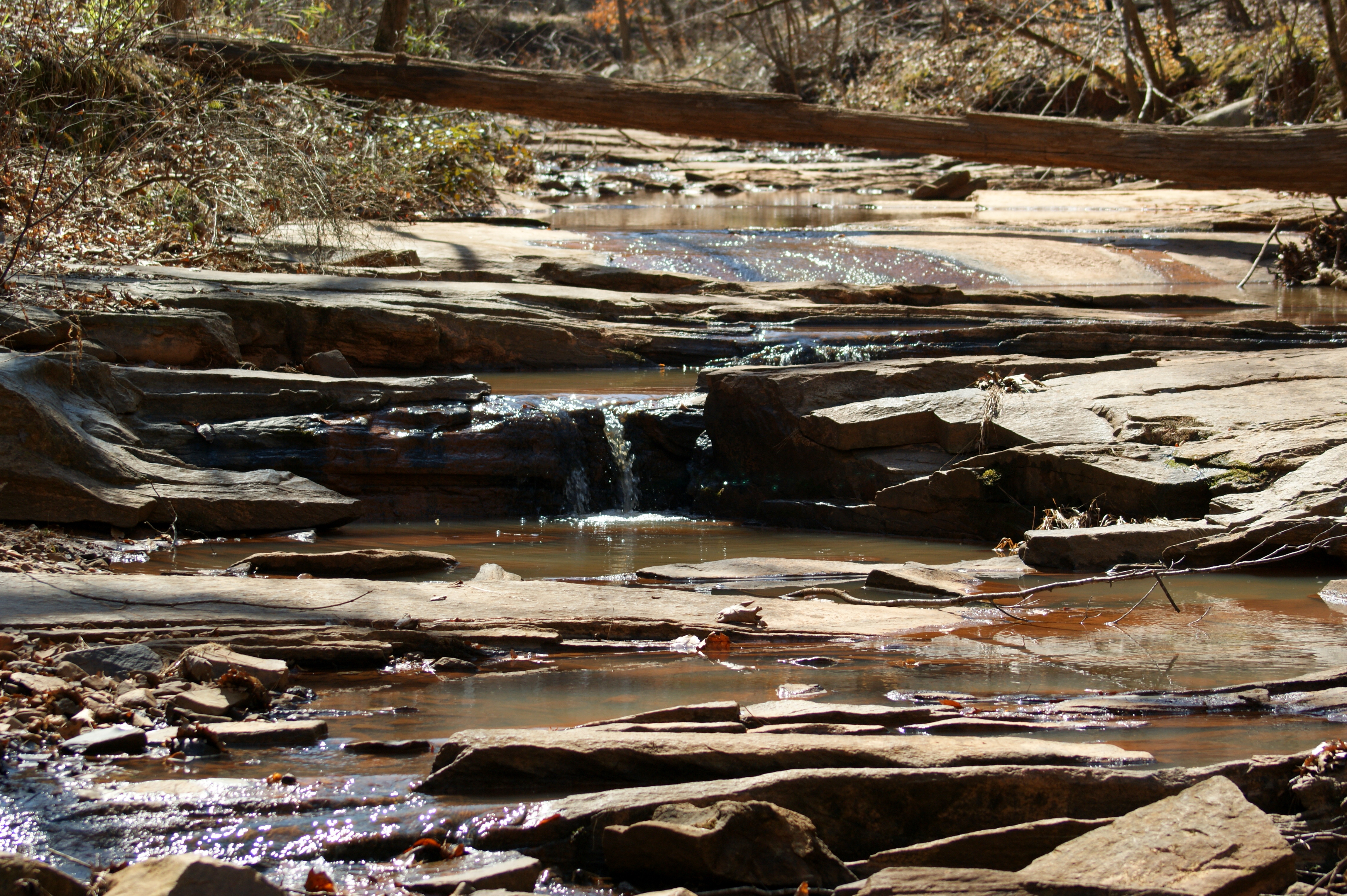
Dry Creek Bed
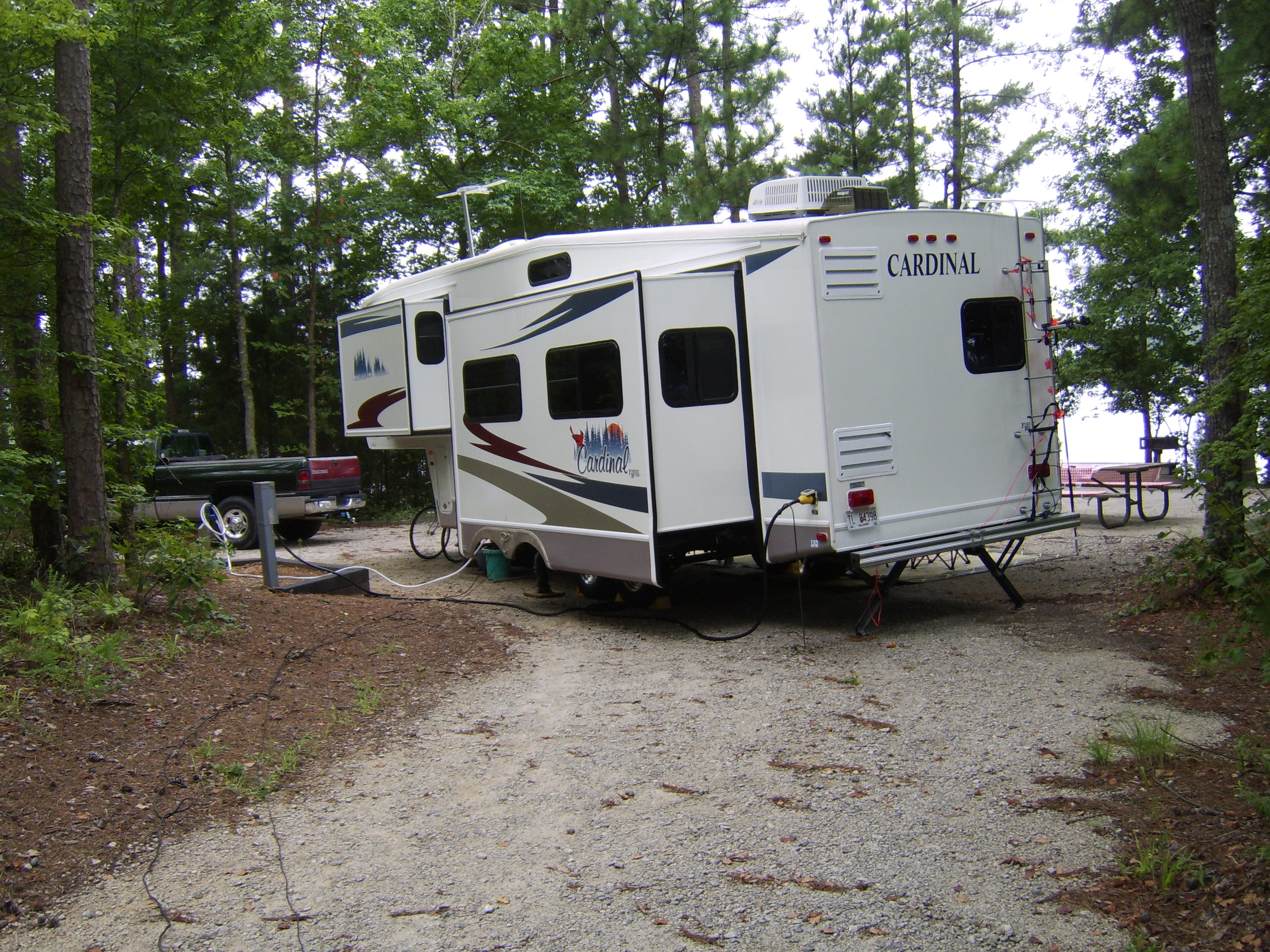
Winfield Campground, Appling, GA
Deserted...for good reason
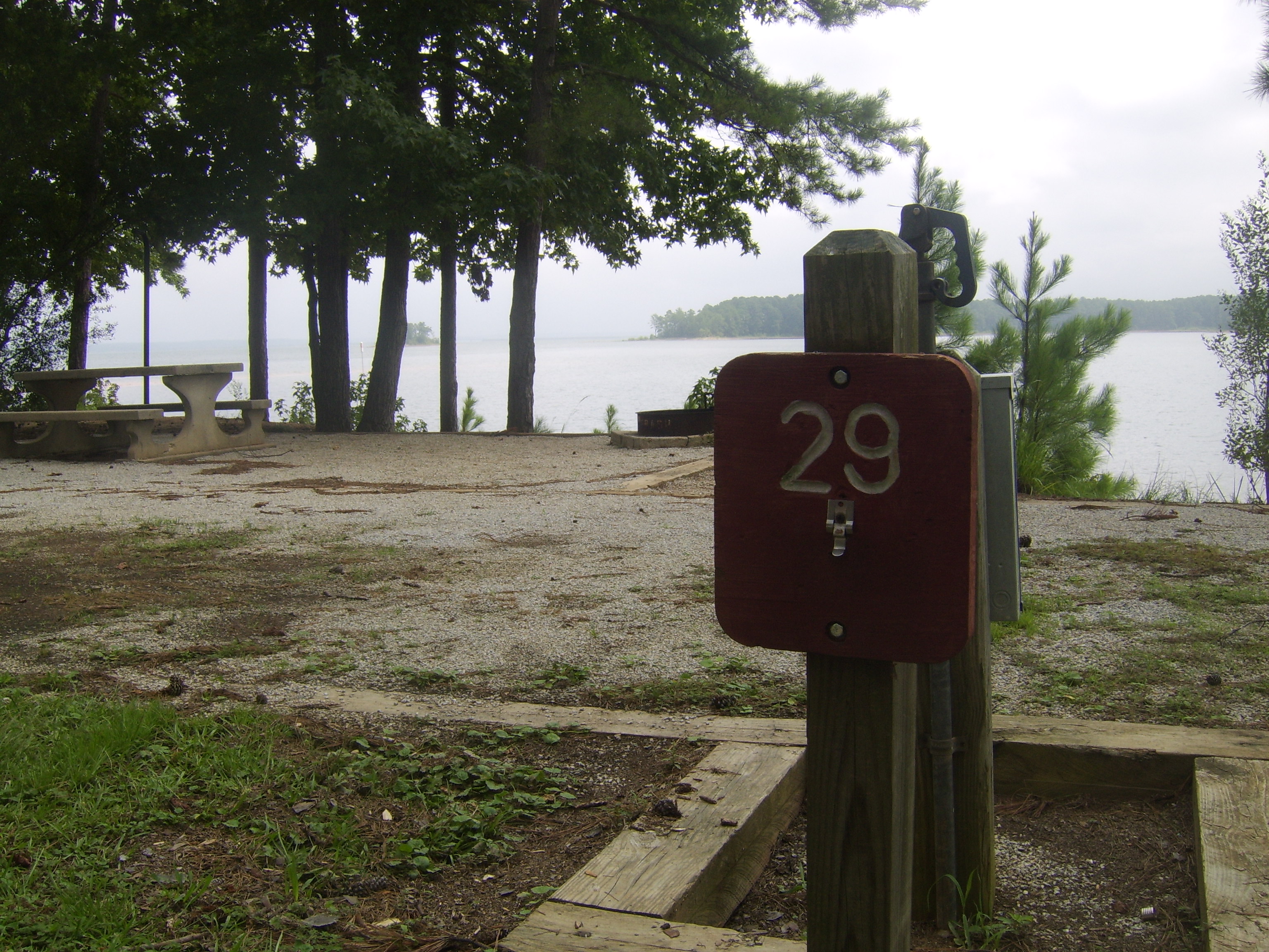
Winfield Campground, Appling, GA
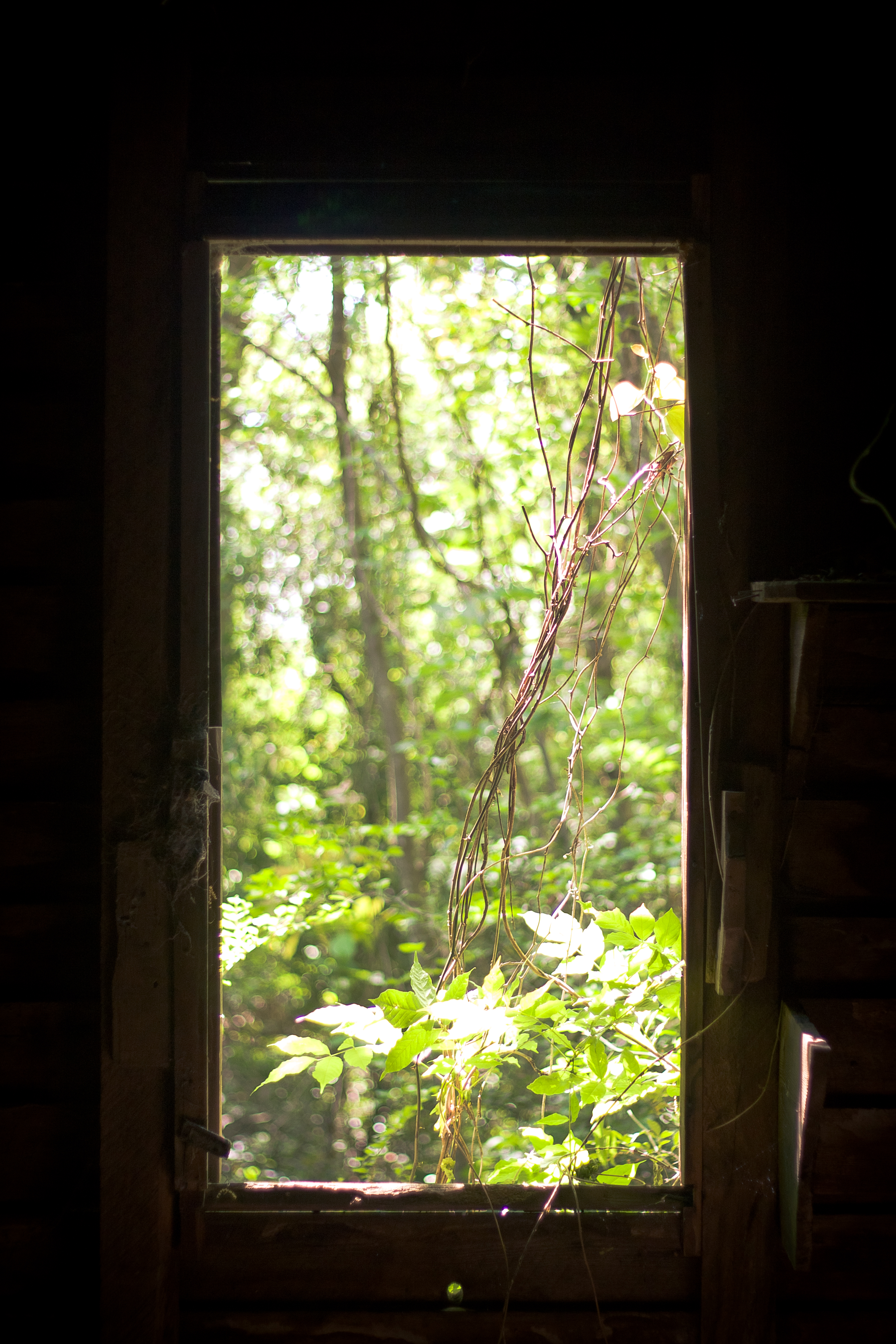
An Overgrown View
My Cousin David's House
Steven's Creek Heritage Preserve - Floodplain
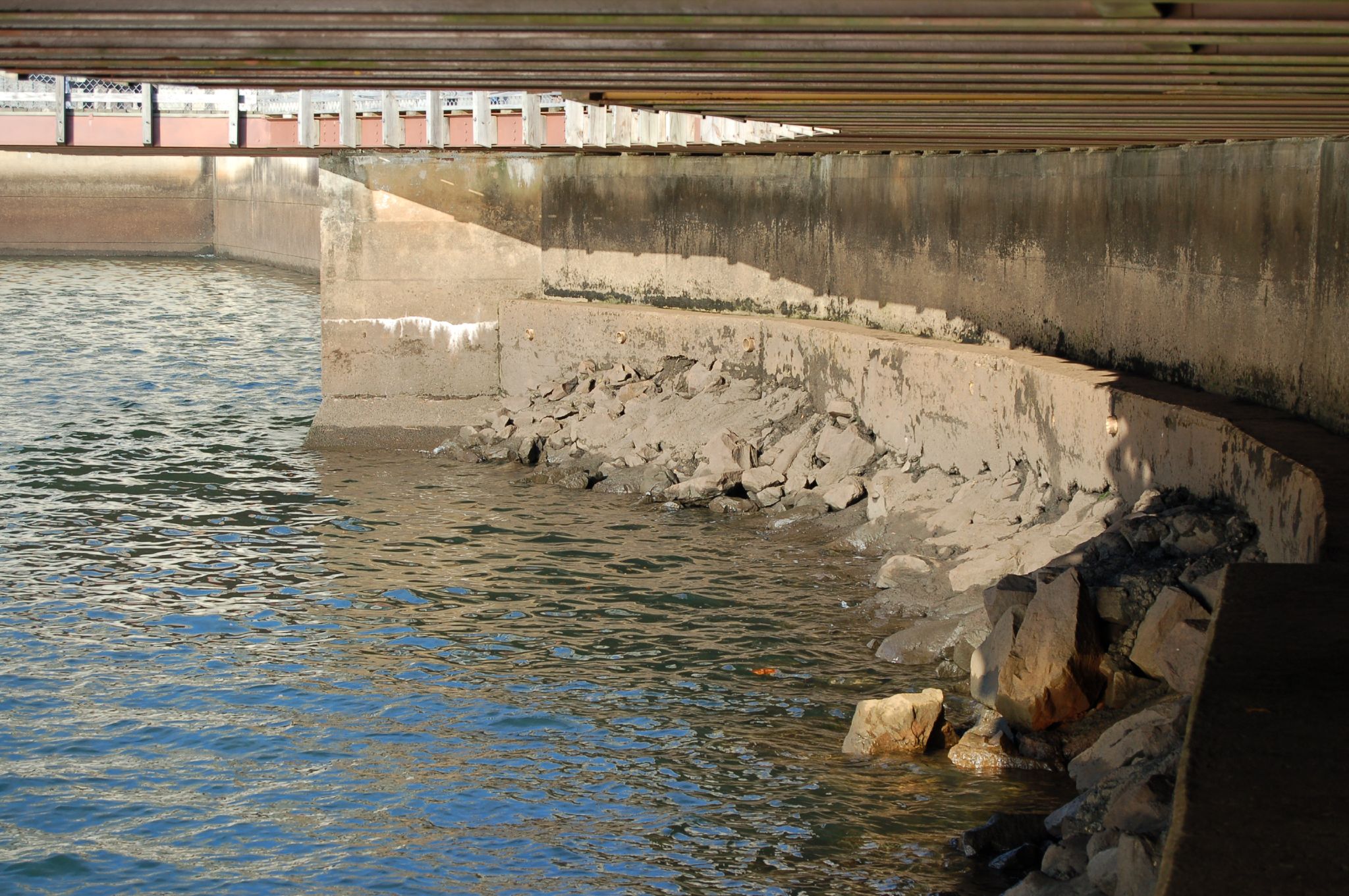
The Dam

Sandy Sandals

Anybody Home?

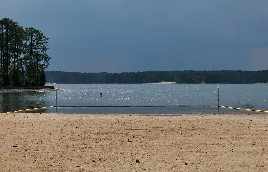
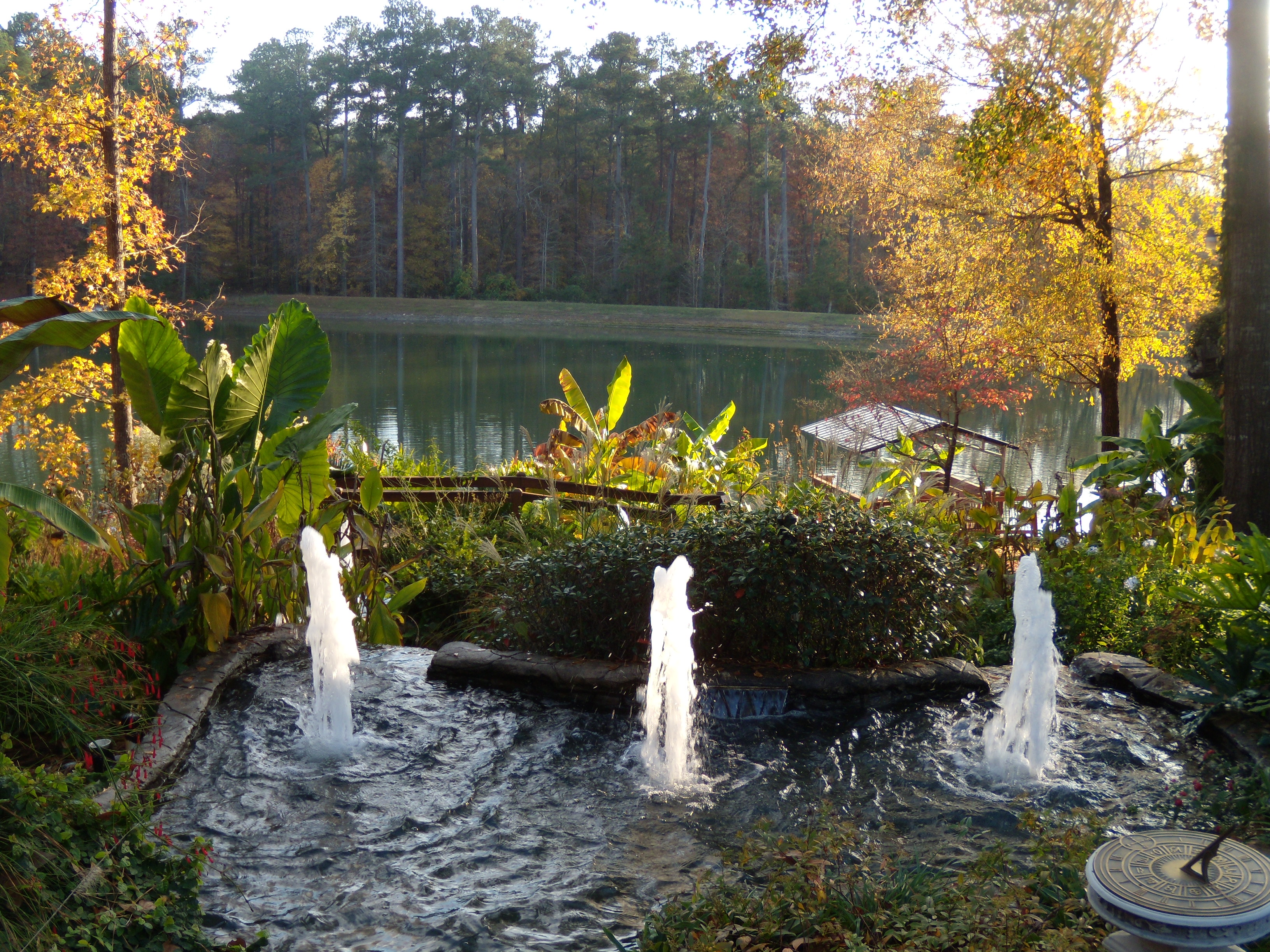
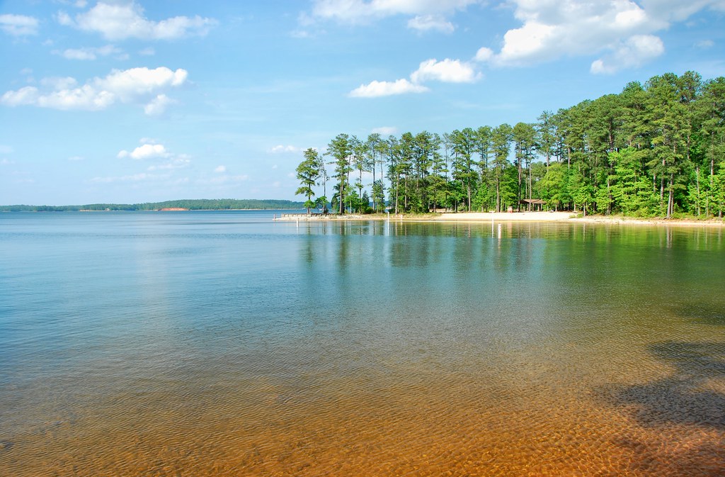
Strom Thurmond Lake

Enemion biternatum (False Rue-anemone)
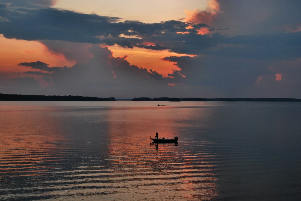
Fishing by the sunset
Desert Island.....
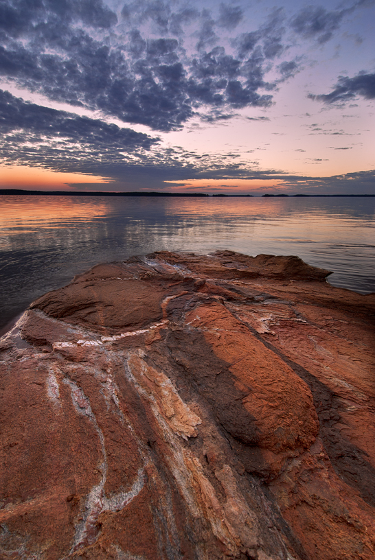
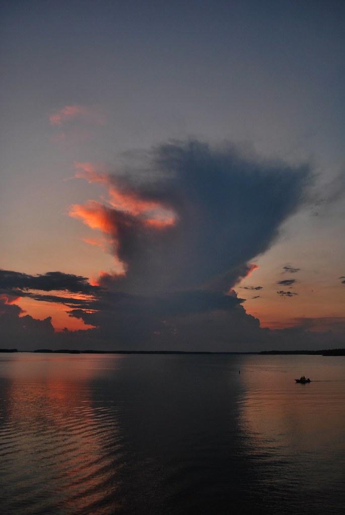
Clarks Hill Lake Sunset
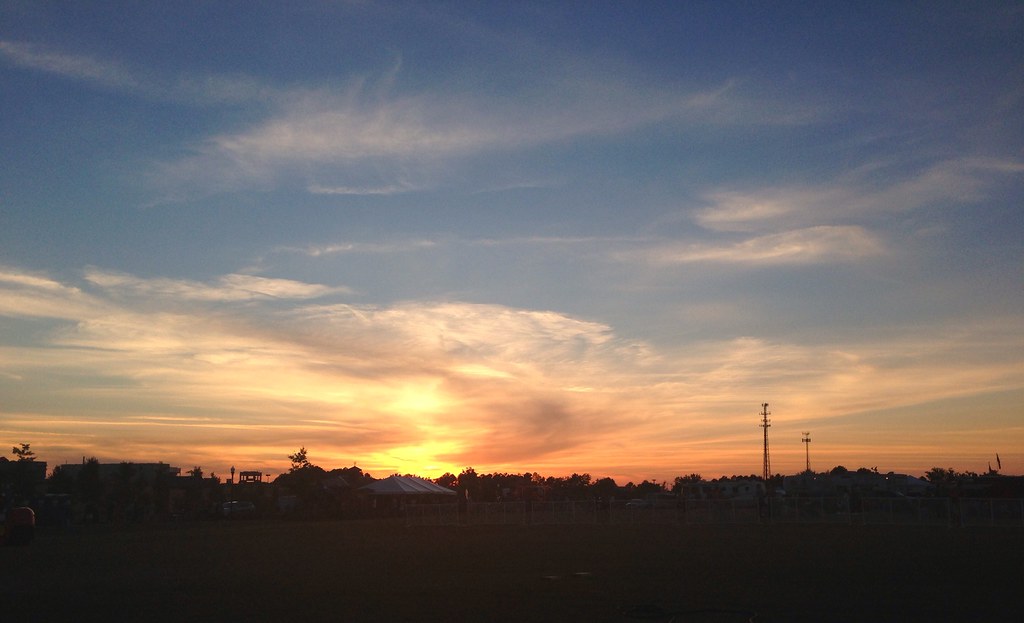
Vanishing Light

The first of the rain from tropical storm Beryl
Giant clouds

Strom Thurmond Lake
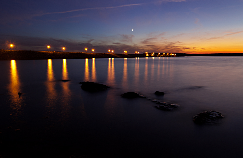
Strom Thurmond Dam at Twilight
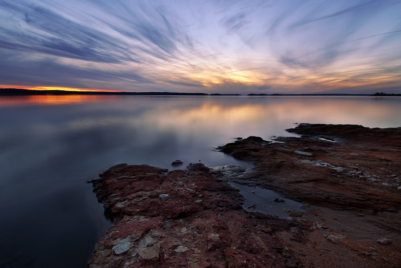
Clarks Hill Lake Sunset
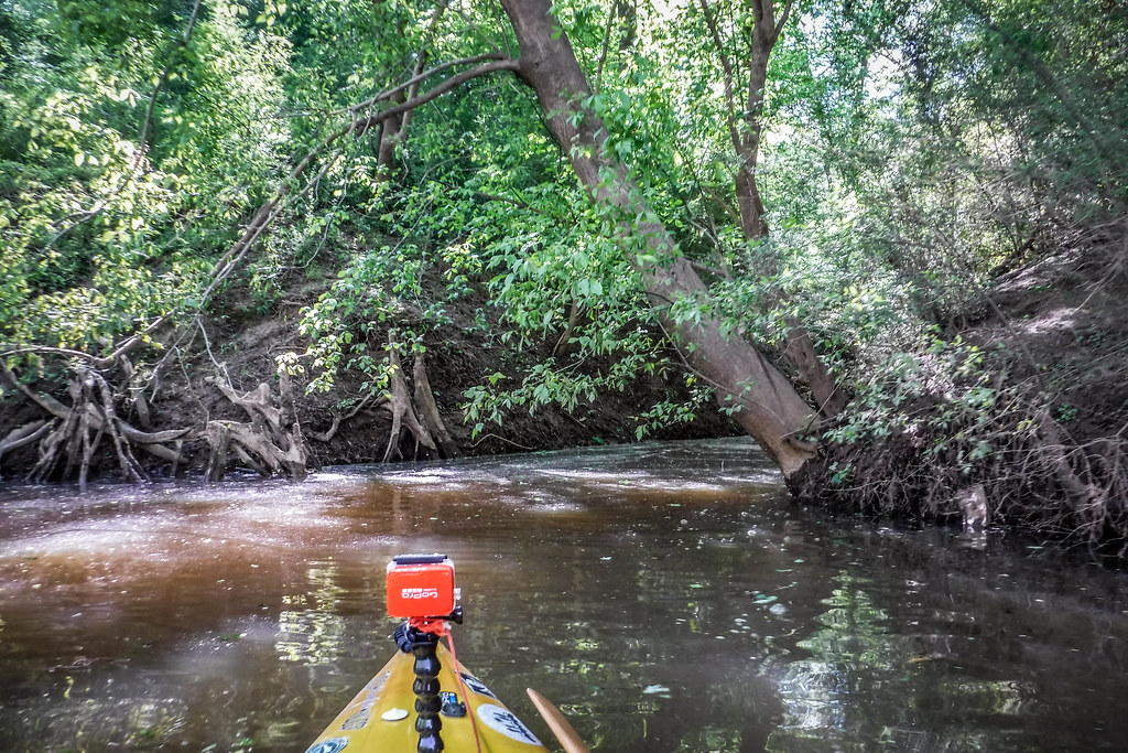
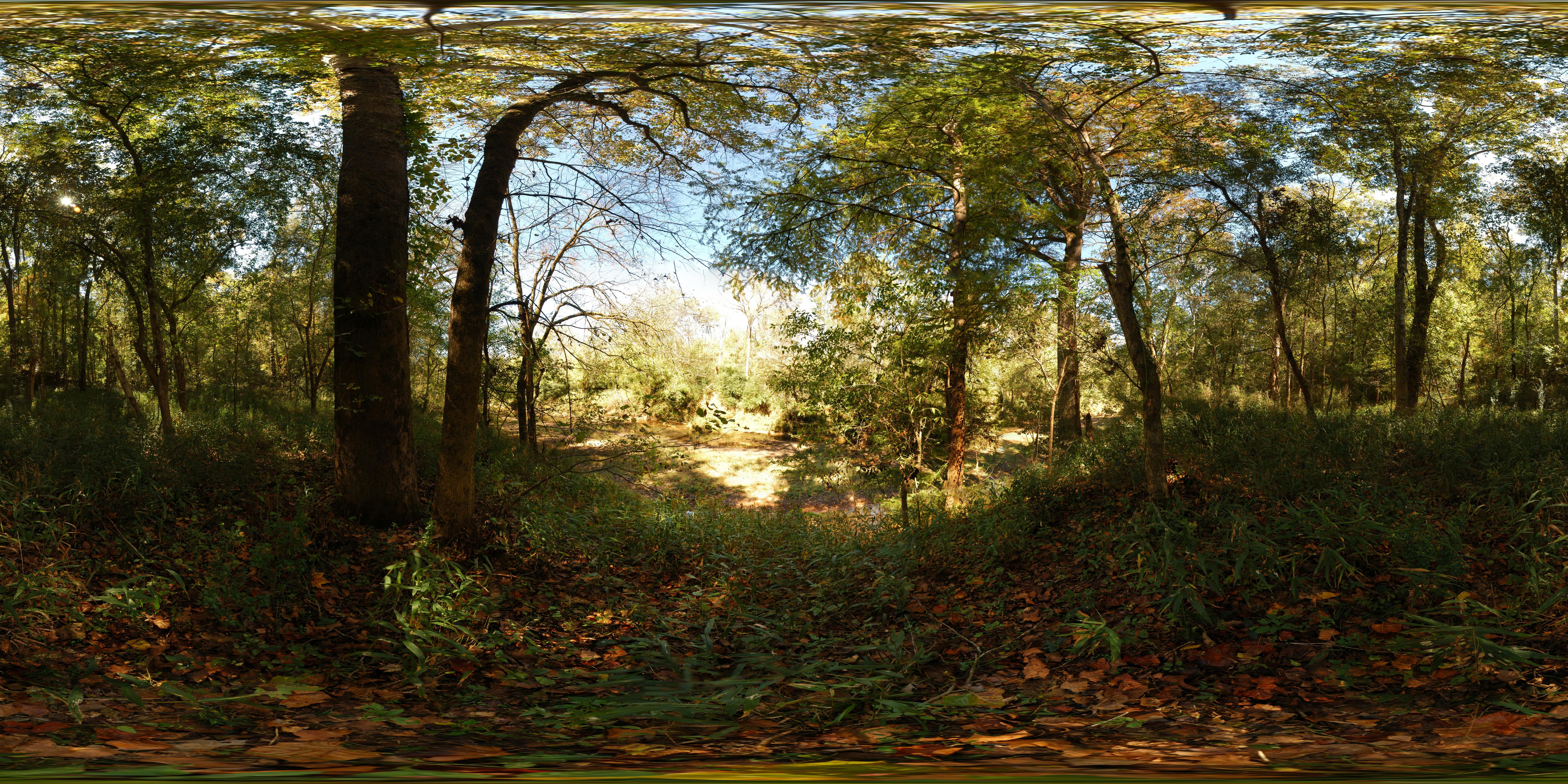
Turkey and Stevens Creeks-116

Happy Hour
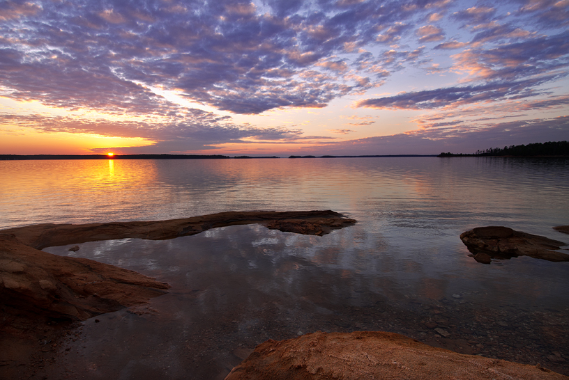
Clarks Hill Lake Sunset
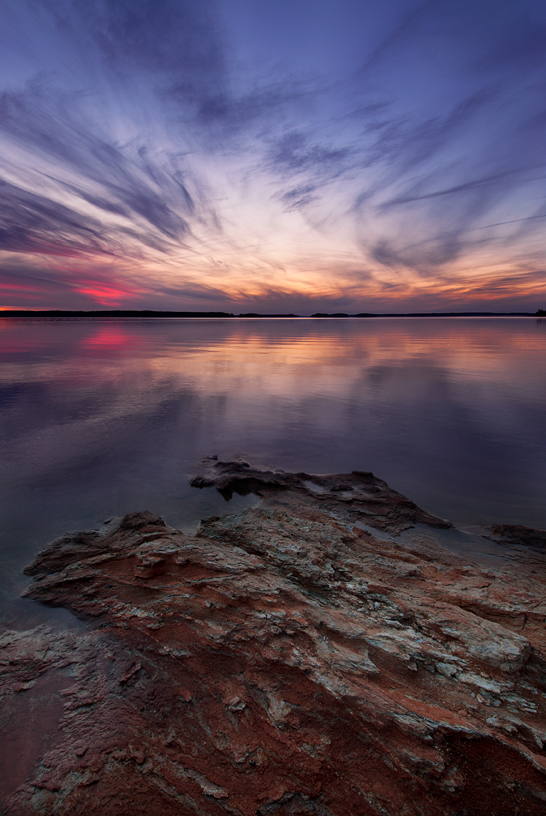
Clarks Hill Lake Sunset
Staphylea trifolia (Bladdernut)
Quercus rubra (Red oak)
Topographic Map of Washington Rd, Appling, GA, USA
Find elevation by address:

Places near Washington Rd, Appling, GA, USA:
5665 Burks Mountain Rd
Burks Mountain Rd, Appling, GA, USA
Petersburg Campground Usace
3998 Petersburg Rd
Burks Mountain Road
6170 Loblolly Dr
Appling Harlem Rd, Appling, GA, USA
Lake Springs Recreation Area
Appling, GA, USA
3326 Tom Bartles Rd
4037 Dewaal St
101 Barnett Way
Appling Harlem Rd, Appling, GA, USA
Appling
Cumberland Pl, Evans, GA, USA
Clanton Rd, Evans, GA, USA
252 Newland Cir
252 Newland Cir
Clarks Hill Lake
3186 Marshall Rd
Recent Searches:
- Elevation of Corso Fratelli Cairoli, 35, Macerata MC, Italy
- Elevation of Tallevast Rd, Sarasota, FL, USA
- Elevation of 4th St E, Sonoma, CA, USA
- Elevation of Black Hollow Rd, Pennsdale, PA, USA
- Elevation of Oakland Ave, Williamsport, PA, USA
- Elevation of Pedrógão Grande, Portugal
- Elevation of Klee Dr, Martinsburg, WV, USA
- Elevation of Via Roma, Pieranica CR, Italy
- Elevation of Tavkvetili Mountain, Georgia
- Elevation of Hartfords Bluff Cir, Mt Pleasant, SC, USA