Elevation of Washington, Cochabamba, Bolivia
Location: Bolivia > Cochabamba Department >
Longitude: -66.167515
Latitude: -17.371805
Elevation: 2582m / 8471feet
Barometric Pressure: 74KPa
Elevation Map:
Satellite Map:
Related Photos:

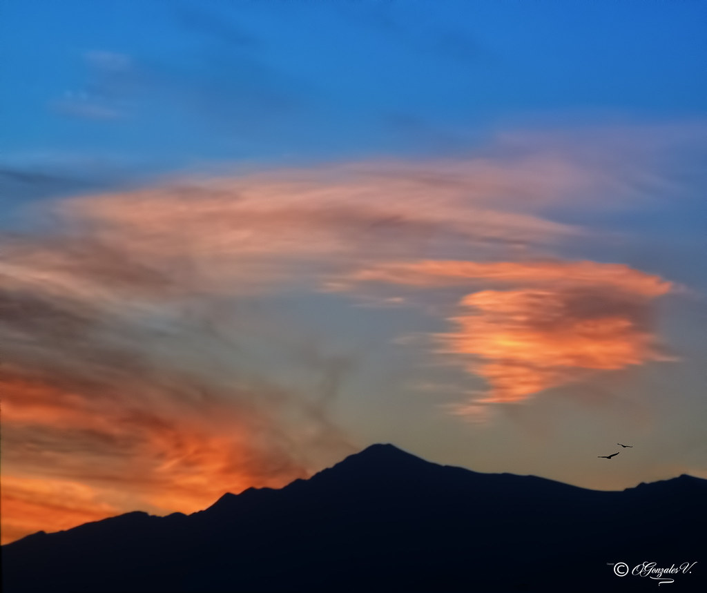
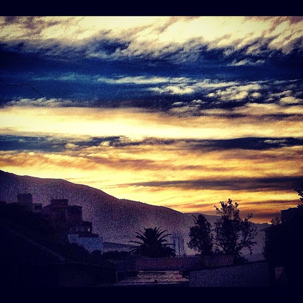
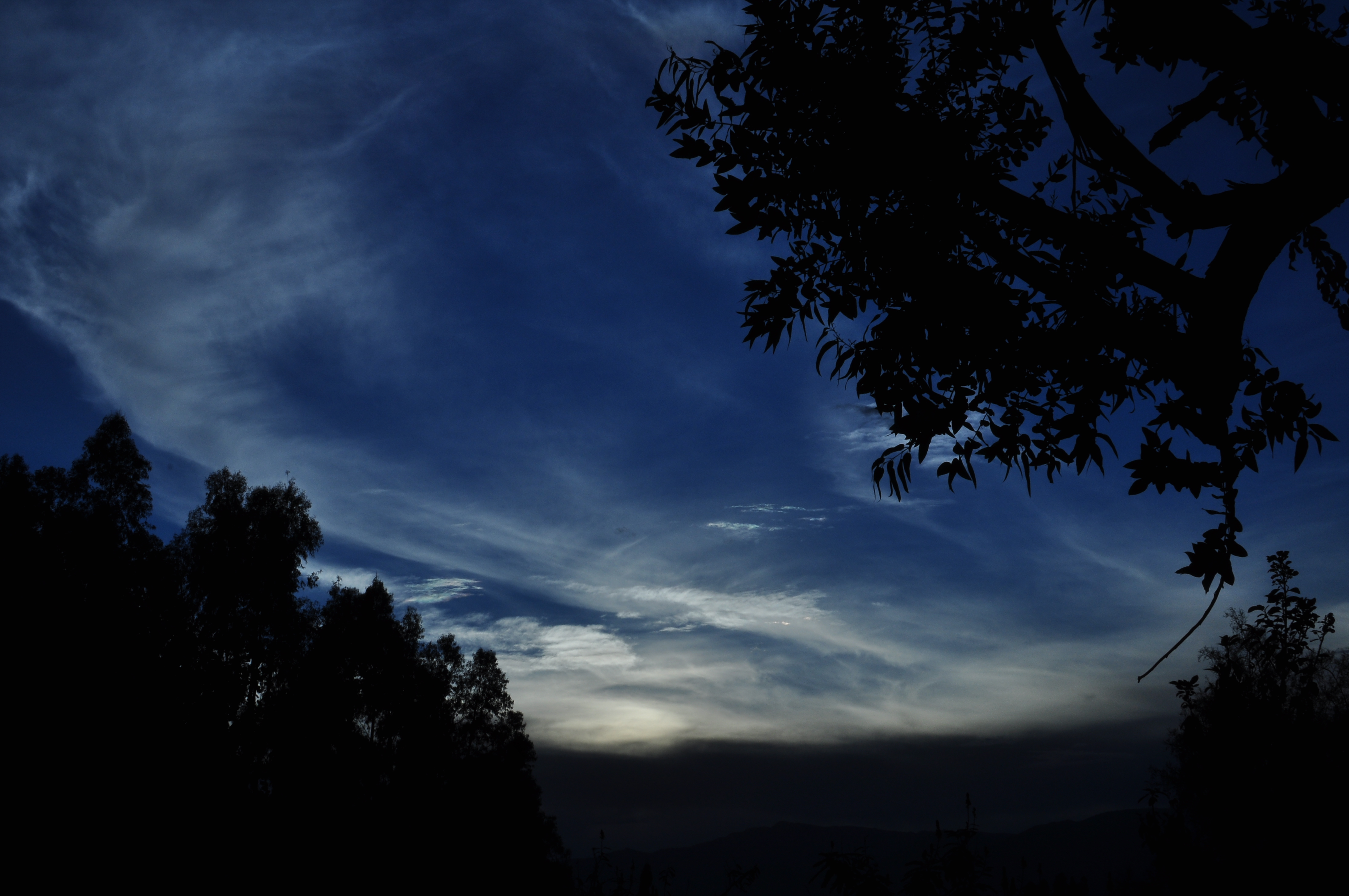
ATARDECER COCHABAMBA BOLIVIA
Montañas que me vieron nacer Cochabamba Bolivia
Cheaper by the Dozen
PAIRUMANI COCHABAMBA BOLIVIA
Viva Vinto Cochabamba Bolivia
Catedral Cochabamba Bolivia
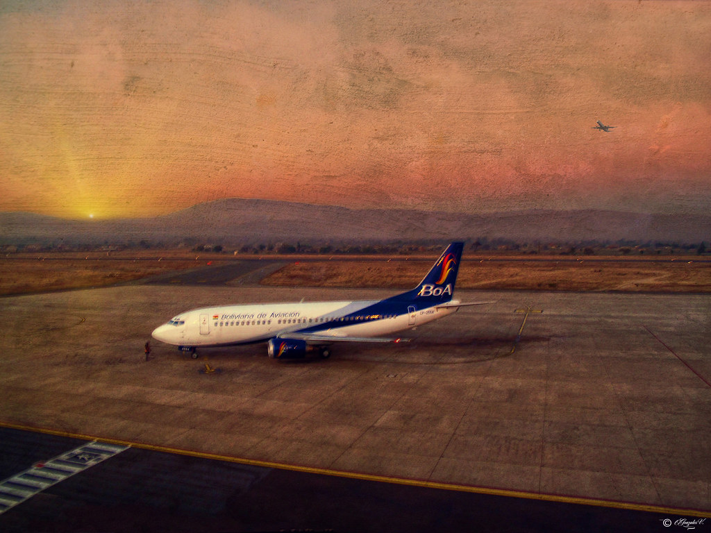
BOLIVIANA DE AVIACION COCHABAMBA BOLIVIA

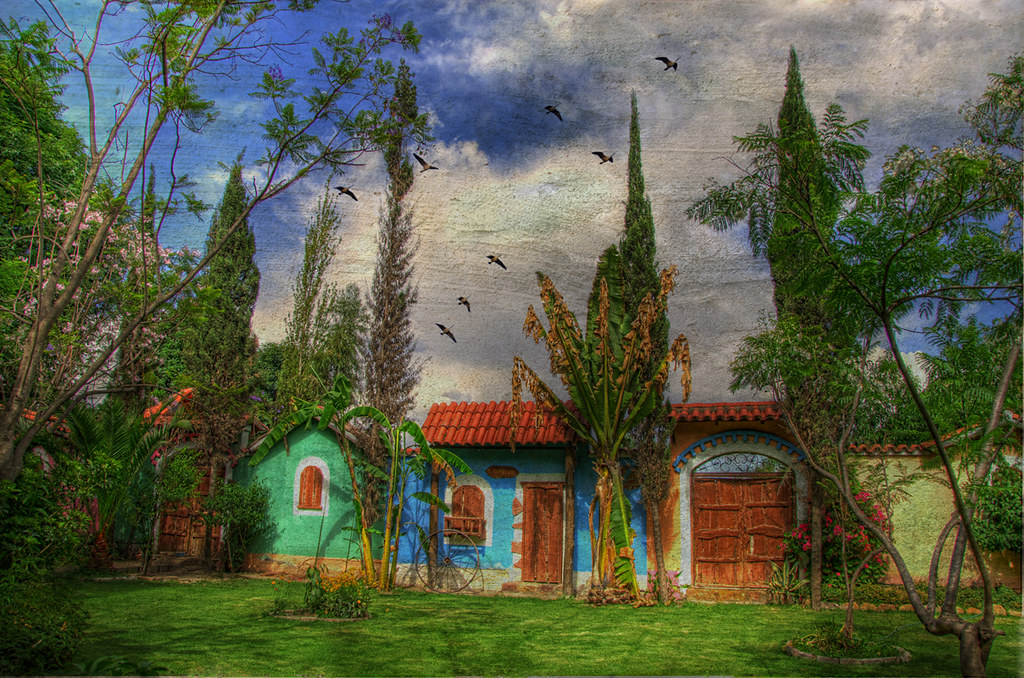
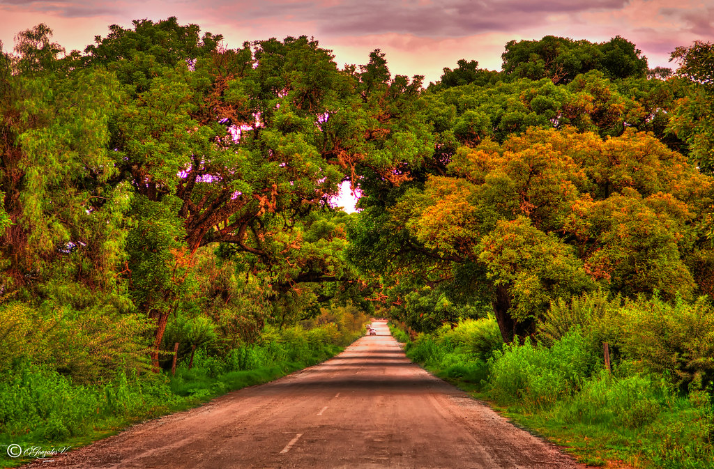
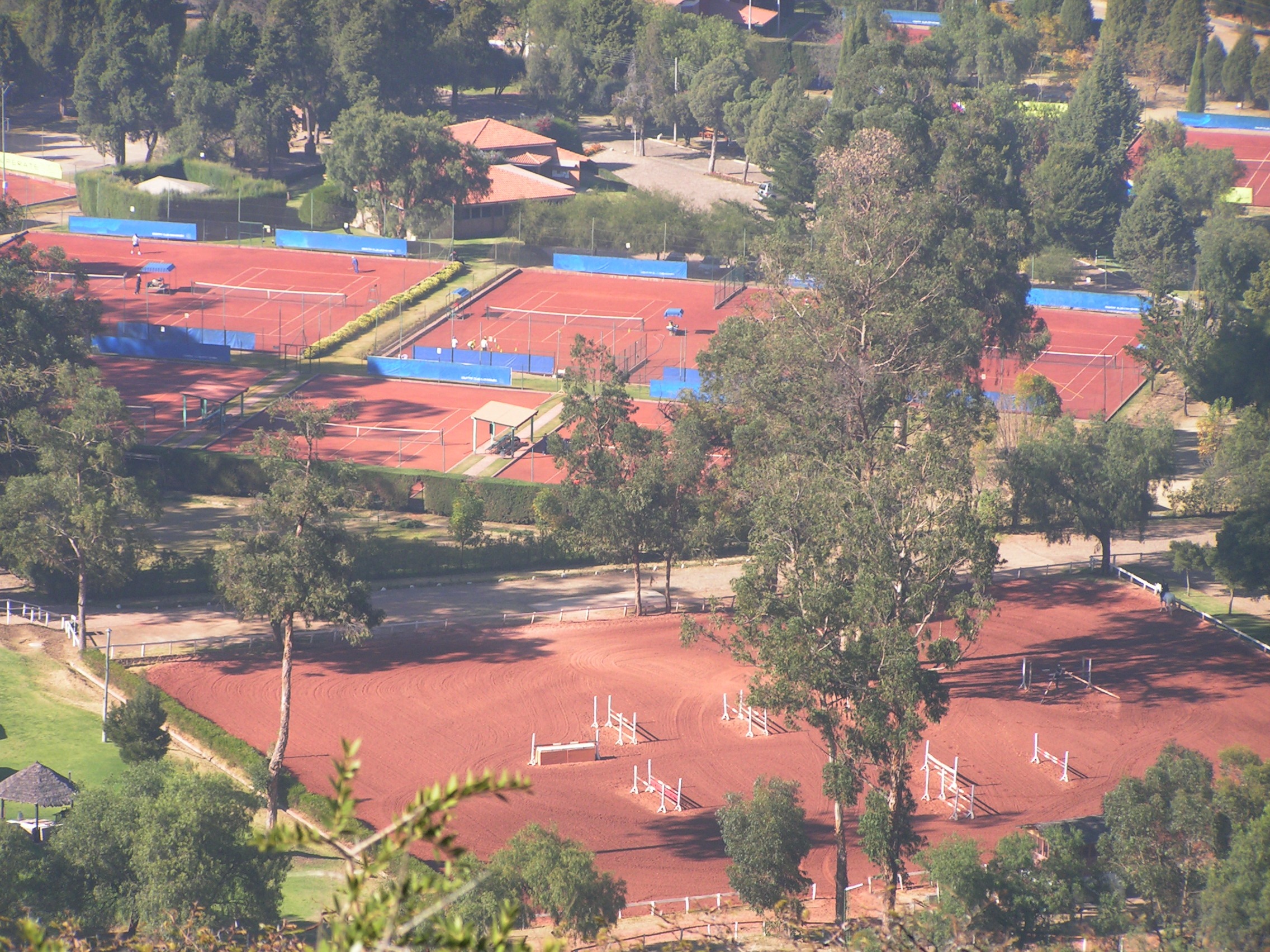
La Campiña Cochabamba Bolivia

La Campiña backyard
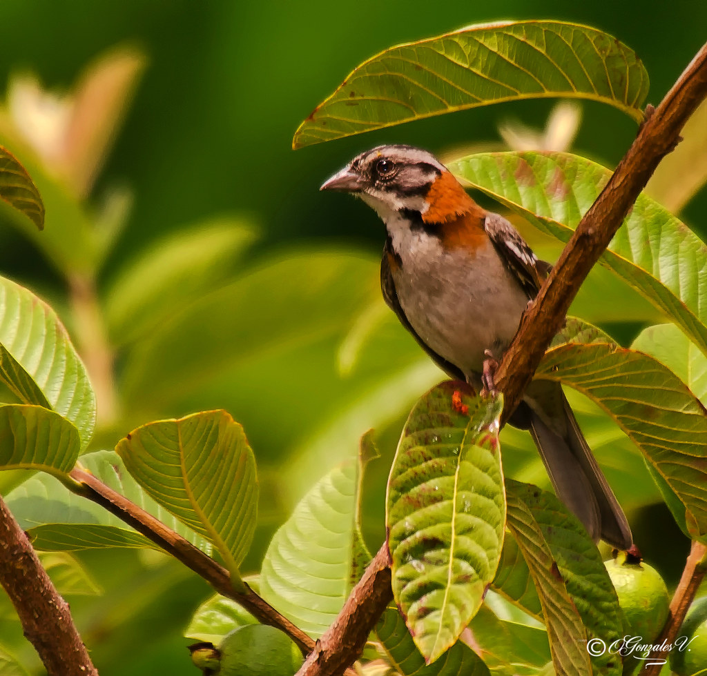
Free As A Bird
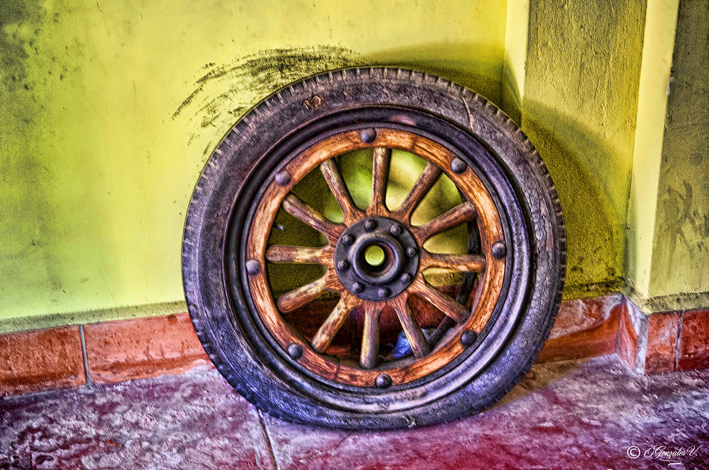
OLD USED TIRE

a Bolivian model
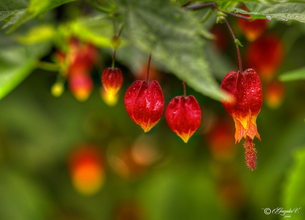
Bolivian Flower
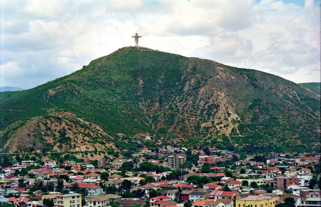
CRISTO DE LA CONCORDIA COCHABAMBA BOLIVIA
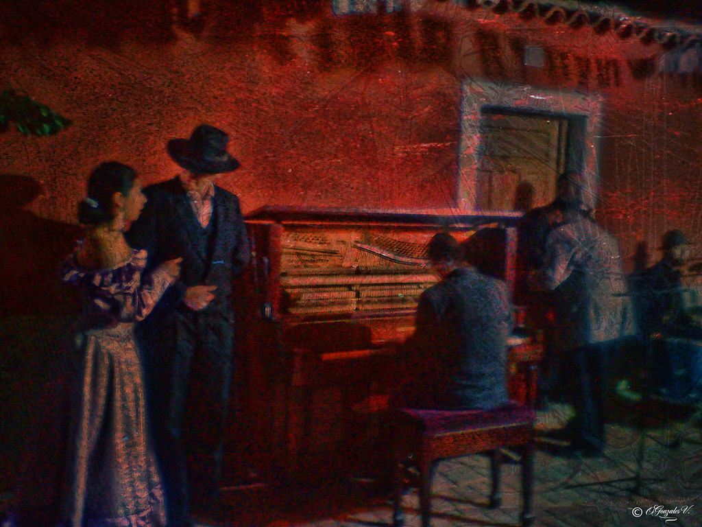
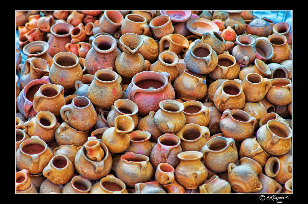
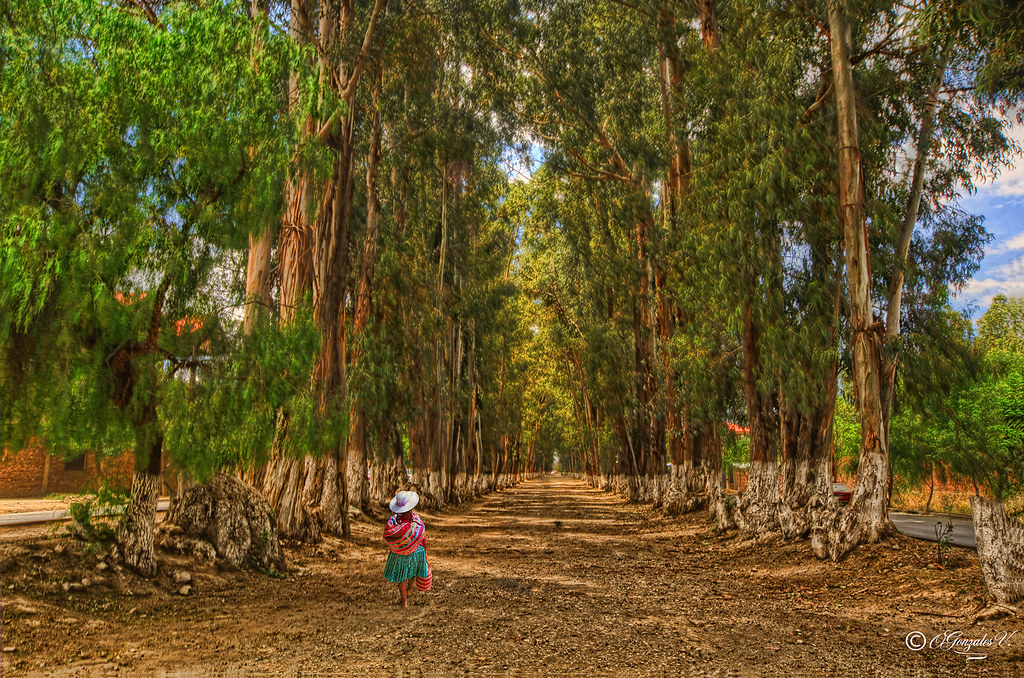
the customs o traditions of yesteryear, long ago
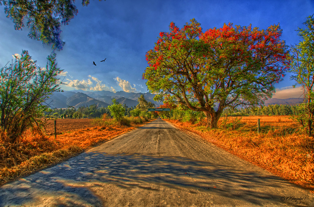
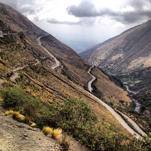
EXIT TO PAIRUMANI COCHABAMBA BOLIVIA.
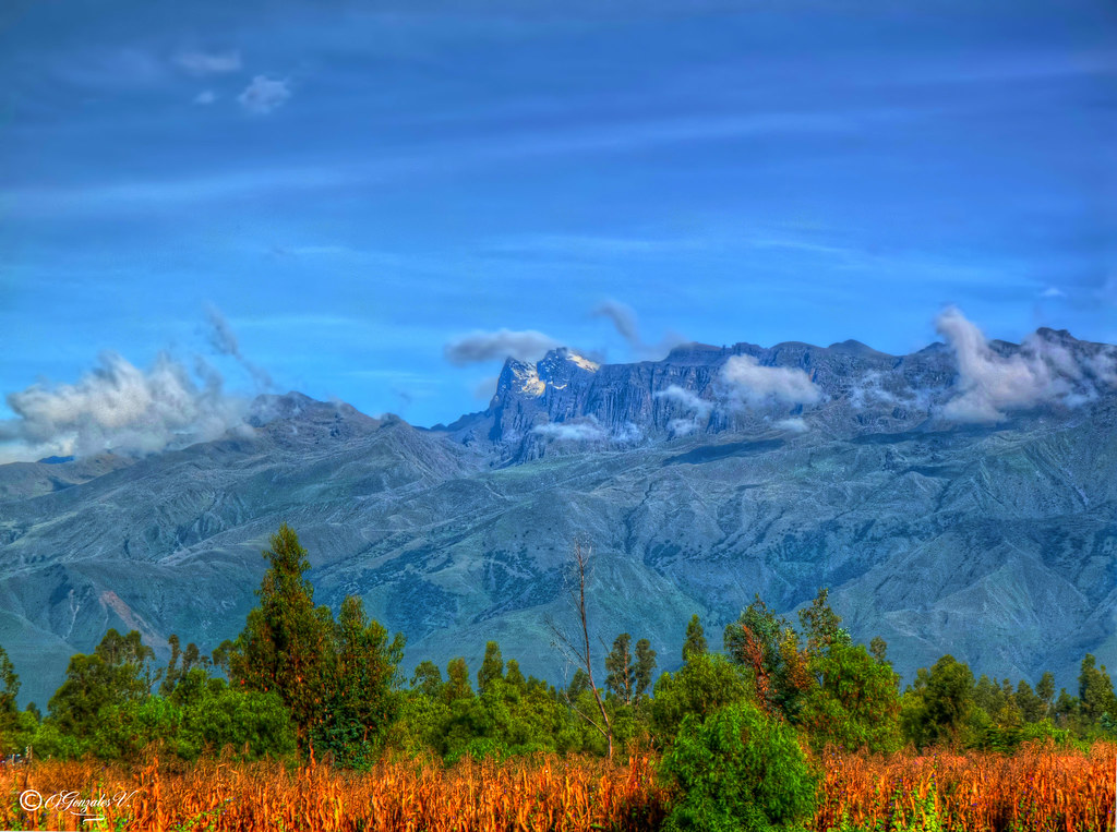
TUNARI COCHABAMBA BOLIVIA

Cochabamba´s Mountains, Tunari
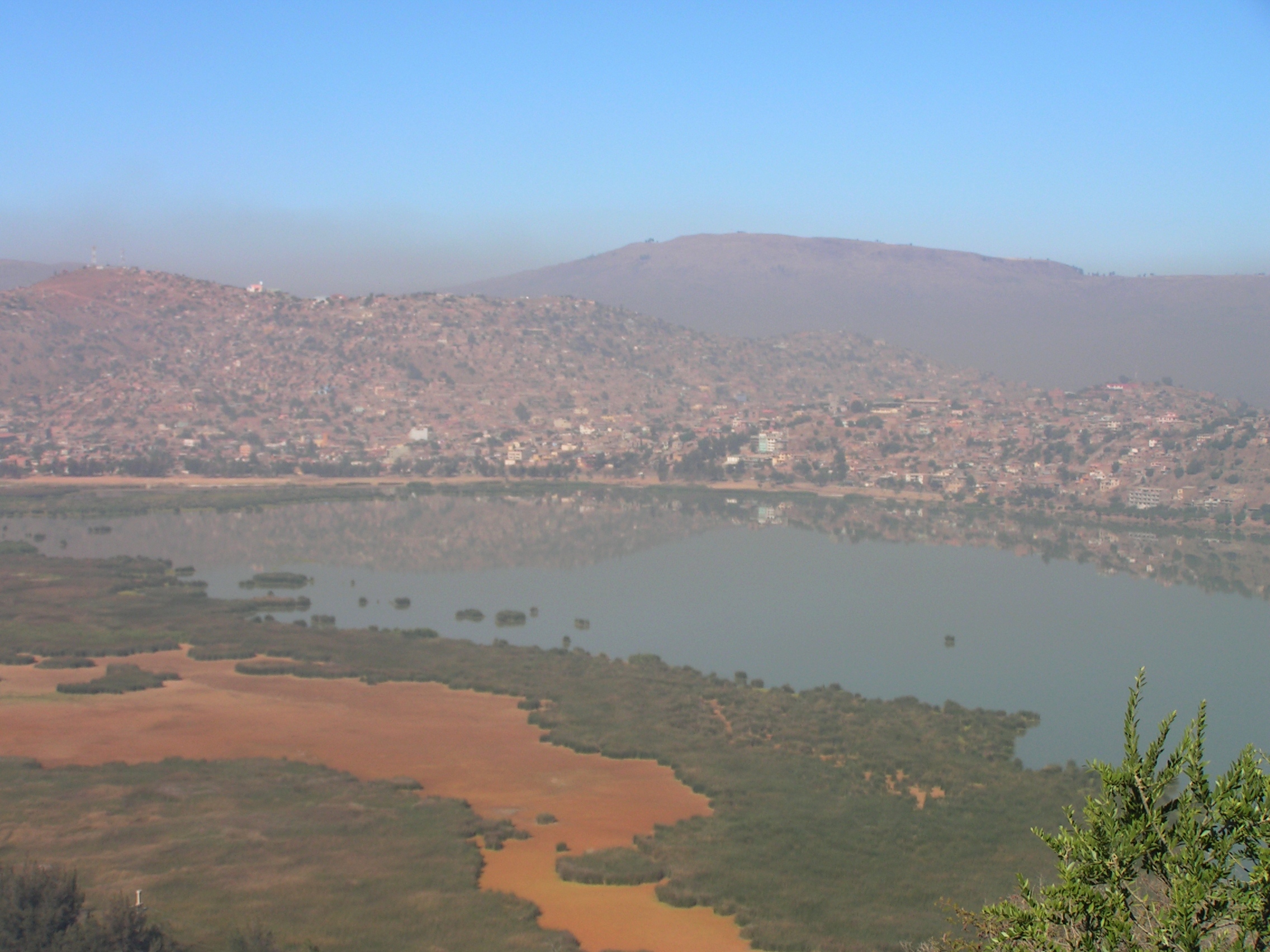
View of Cochabamba, Bolivia
View of Cochabamba, Bolivia

View of Cochabamba, Bolivia

Raíles Tren Vinto - Cochabamba
TIQUIPAYA COCHABAMBA BOLIVIA

Valley of Cochabamba Bolivia
For me traveling is a pleasure in life that brings me happiness. Traveling home is just pure bliss. How I miss my mountains!!! This is an old picture of The Tunari with the city below at the beginning of winter a couple of years ago #cochabamba #bolivia #
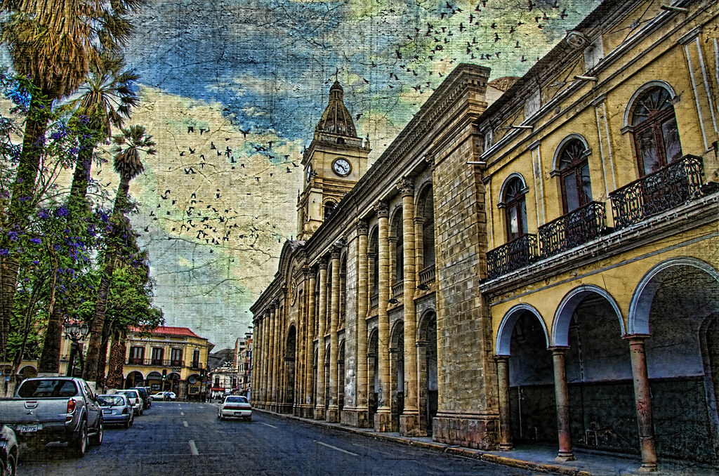
Castillo, Cochabamba, Bolivia

Raíles Tren Vinto - Cochabamba
SUMUMPAYA COCHABAMBA BOLIVIA
selectiebolivia-658
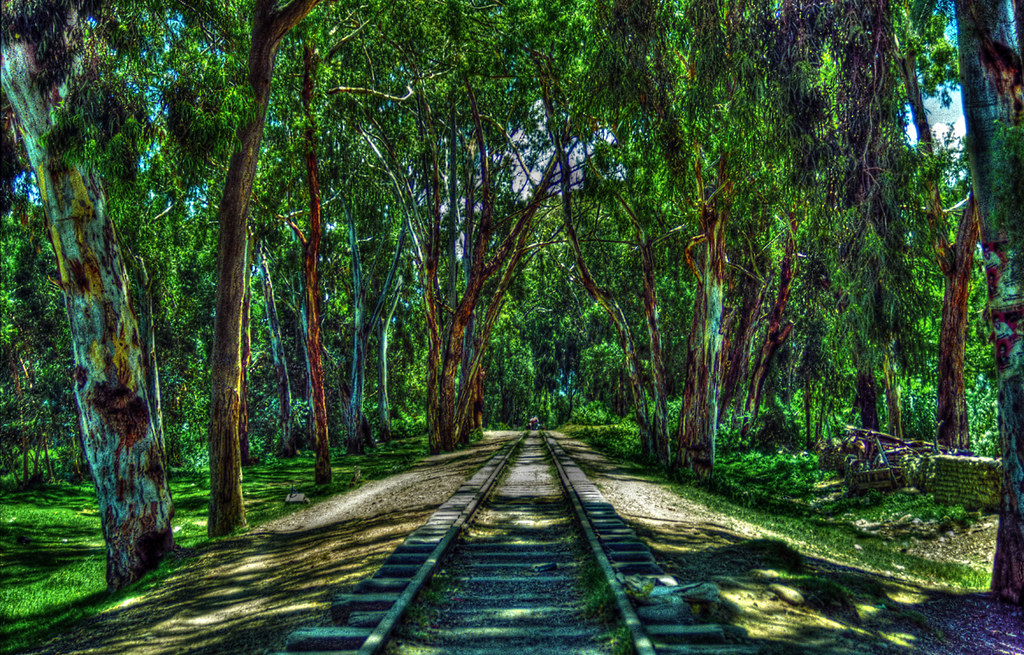
Train tracks in Quillacollo Cochabamba Bolivia
The beer soul
Bonne journée à tous

Buenos Días ;)
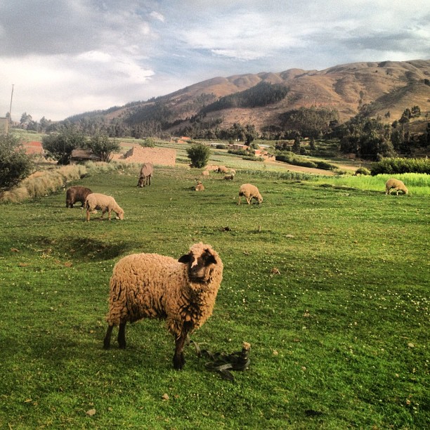
As ovelhas bolivianas.

TUNARI Sunset
clouds DSC_0286
Estrada para o Pico Tunari, tensão total!
Topographic Map of Washington, Cochabamba, Bolivia
Find elevation by address:

Places near Washington, Cochabamba, Bolivia:
Cercado
Estadio Félix Capriles
Queru Queru
Gran Hotel Cochabamba
Hotel Diplomat
Noroeste
Cochabamba
Calle Oscar Alfaro
Vinto
Quillacollo
Tunari
Jatun Q'asa
Capinota
Cercado
Caracollo
Oruro
Nº 5777
Lago Uru Uru
Janq'u Qullu
Recent Searches:
- Elevation of Corso Fratelli Cairoli, 35, Macerata MC, Italy
- Elevation of Tallevast Rd, Sarasota, FL, USA
- Elevation of 4th St E, Sonoma, CA, USA
- Elevation of Black Hollow Rd, Pennsdale, PA, USA
- Elevation of Oakland Ave, Williamsport, PA, USA
- Elevation of Pedrógão Grande, Portugal
- Elevation of Klee Dr, Martinsburg, WV, USA
- Elevation of Via Roma, Pieranica CR, Italy
- Elevation of Tavkvetili Mountain, Georgia
- Elevation of Hartfords Bluff Cir, Mt Pleasant, SC, USA