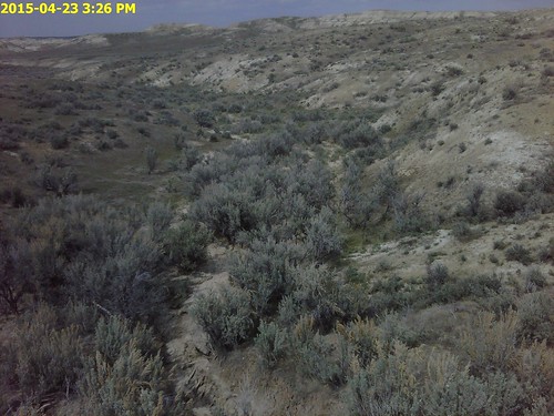
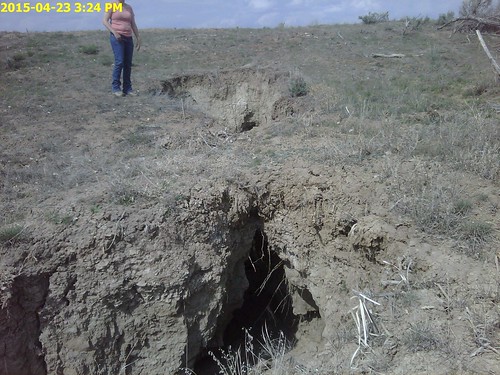
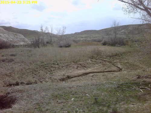
Elevation map of Washakie County, WY, USA
Location: United States > Wyoming >
Longitude: -107.70376
Latitude: 43.8347829
Elevation: 1431m / 4695feet
Barometric Pressure: 85KPa
Related Photos:
Topographic Map of Washakie County, WY, USA
Find elevation by address:

Places in Washakie County, WY, USA:
Places near Washakie County, WY, USA:
Himalaya Nursery, Halti
Worland, WY, USA
Worland
South Flat
Ten Sleep
Medicine Lodge St, Hyattville, WY, USA
32 Paint Brush Dr
Winchester
W Main St, Kirby, WY, USA
Lucerne
1448 King Rd
1448 King Rd
Manderson
Upper East River Rd, Thermopolis, WY, USA
110 Carter Ranch Rd
U.s. 20
Thermopolis
The Barn Private Vacation Retreat
Meadowlark Lake
306 Bobcat Dr
Recent Searches:
- Elevation of Corso Fratelli Cairoli, 35, Macerata MC, Italy
- Elevation of Tallevast Rd, Sarasota, FL, USA
- Elevation of 4th St E, Sonoma, CA, USA
- Elevation of Black Hollow Rd, Pennsdale, PA, USA
- Elevation of Oakland Ave, Williamsport, PA, USA
- Elevation of Pedrógão Grande, Portugal
- Elevation of Klee Dr, Martinsburg, WV, USA
- Elevation of Via Roma, Pieranica CR, Italy
- Elevation of Tavkvetili Mountain, Georgia
- Elevation of Hartfords Bluff Cir, Mt Pleasant, SC, USA


