Elevation of Wartburg, South Africa
Location: South Africa > Kwazulu-natal > Indlovu Dc >
Longitude: 30.5743164
Latitude: -29.433048
Elevation: 946m / 3104feet
Barometric Pressure: 90KPa
Elevation Map:
Satellite Map:
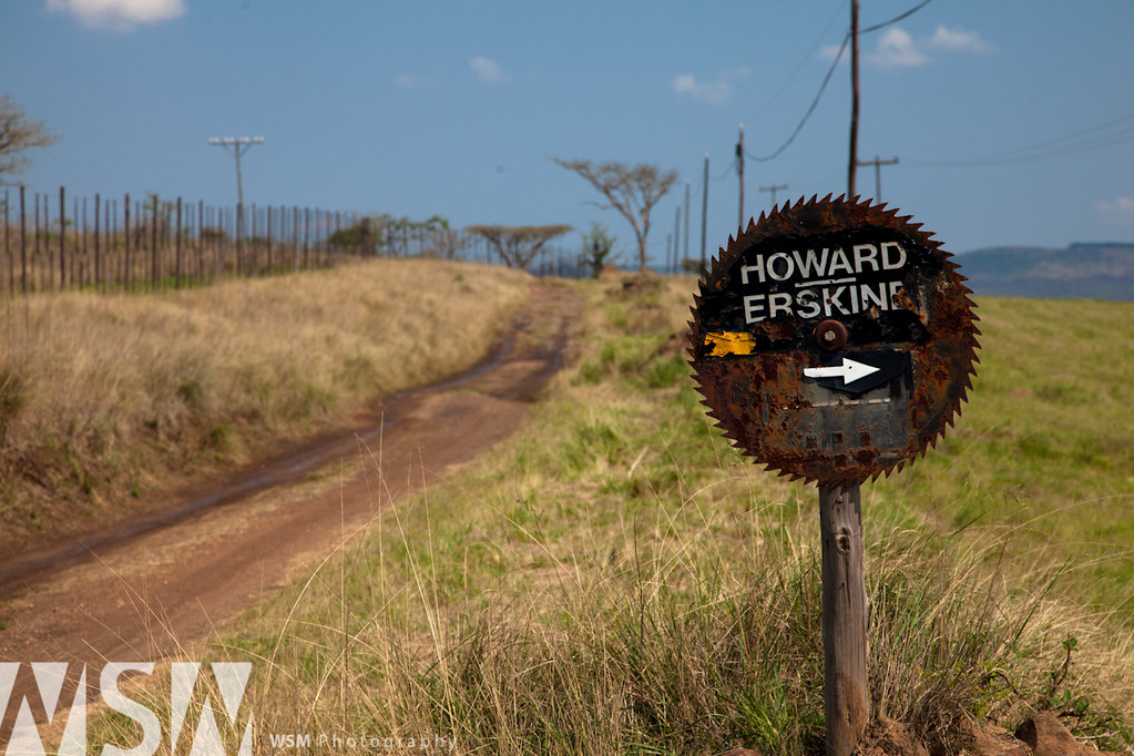
Related Photos:
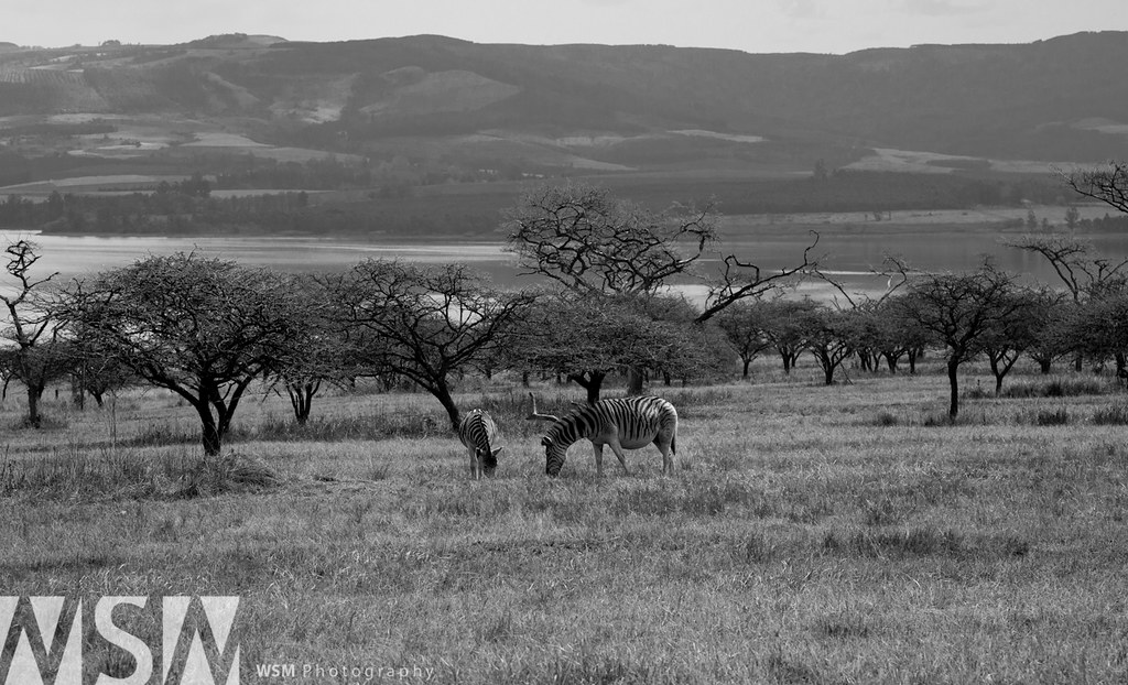
No NFL Stripes

Fog near Wartburg...

LR-4
Wheels of Steel
Topographic Map of Wartburg, South Africa
Find elevation by address:

Places near Wartburg, South Africa:
Harburg
Harburg Petrol Garage
Indlovu Dc
Karkloof Road
32 Karkloof Rd
Howick
Midmar Water Treatment Works
Ngwempisi
Greytown
Curry's Post
Howick
Mpofana Local Municipality
Nottingham Road
Mooi River
Cwaka Clinic - T B Clinic
Cwaka
Estcourt
Blue Haze Country Lodge & Conference Centre
Kamberg Valley Hideaway
Dumbe
Recent Searches:
- Elevation of Corso Fratelli Cairoli, 35, Macerata MC, Italy
- Elevation of Tallevast Rd, Sarasota, FL, USA
- Elevation of 4th St E, Sonoma, CA, USA
- Elevation of Black Hollow Rd, Pennsdale, PA, USA
- Elevation of Oakland Ave, Williamsport, PA, USA
- Elevation of Pedrógão Grande, Portugal
- Elevation of Klee Dr, Martinsburg, WV, USA
- Elevation of Via Roma, Pieranica CR, Italy
- Elevation of Tavkvetili Mountain, Georgia
- Elevation of Hartfords Bluff Cir, Mt Pleasant, SC, USA