Elevation of Wartburg College, Wartburg Blvd, Waverly, IA, USA

Location: United States > Iowa > Bremer County > Waverly >

Longitude: -92.483233

Latitude: 42.7287897

Elevation: 283m / 928feet

Barometric Pressure: 98KPa

Elevation Map:

elevation map of Wartburg College, Wartburg Blvd, Waverly, IA, USA

Satellite Map:

Satellite map of Wartburg College, Wartburg Blvd, Waverly, IA, USA

Related Photos:

janesville interchange clearview bremercounty bgs us218 ia27 avenueofthesaints countyroadc50
Janesville interchange (5)
ride pentax cab railway iowa ianr northern emd gp38 k10d
View from the Conductors Seat
square iowa squareformat normal iphoneography instagramapp uploaded:by=instagram foursquare:venue=4d70e09a766da14391d254ad
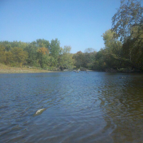
River view
square squareformat iphoneography instagramapp uploaded:by=instagram foursquare:venue=4c54a175fd2ea5931943642a
Cedar View
Art Show
square nashville iowa squareformat iphoneography instagramapp uploaded:by=instagram foursquare:venue=4e53eb617d8b8e9188e3d551
Another view of the Cedar.
square iowa squareformat iphoneography instagramapp uploaded:by=instagram foursquare:venue=4d70e09a766da14391d254ad
Afternoon view of the field
The Yard
iowa ia landscapes butlercounty corn northamerica unitedstates us
Iowa Corn Field (Butler County, Iowa)
autumn trees fall college campus landscapes oak dancing iowa oldmain stfrancis oaktree wartburg sulpture collegecampus wartburgcollege dancingstfrancis
Wartburg College - Dancing St Francis
iowa ia landscapes shellrockriver butlercounty shellrock northamerica unitedstates us
Shell Rock River and Falls (Shell Rock, Iowa)
landscapes us unitedstates iowa ia northamerica butlercounty corn
Iowa Corn Field (Butler County, Iowa)
autumn colors religious landscapes bright iowa brightcolors waverly wartburgcollege
Seasonal Dancing St Francis
blackandwhite landscapes iowa waverly wartburgcollege
Wartburg Football
blackandwhite architecture landscapes iowa waverly wartburgcollege
Wartburg Library
2012 Summer Camp - Secret Service
cgw
Chicago Great Western bridge over the Cedar River
janesville interchange clearview bremercounty bgs us218 ia27 avenueofthesaints countyroadc50
Janesville interchange (4)
ianr iowanorthernrailway shellrock ianr3811 ianr3810 ianr454 ianr3954 ianr3951 ianr4003 slug
IANR 3811 Shell Rock
bridge iowa nationalregister butlercounty nationalregisterofhistoricplaces shellrock cherrystreetbridge
Cherry Street Bridge- Shell Rock IA (3)
iowa waverly bremercounty cedarriver us218
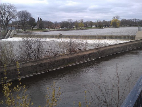
Cedar River- Waverly IA (1)
iowa ia landscapes shellrockriver butlercounty shellrock northamerica unitedstates us
Shell Rock River and Falls (Shell Rock, Iowa)
iowa ia landscapes shellrockriver butlercounty shellrock northamerica unitedstates us
Shell Rock River and Falls (Shell Rock, Iowa)
square iowa squareformat hefe iphoneography instagramapp uploaded:by=instagram foursquare:venue=4e53eb617d8b8e9188e3d551
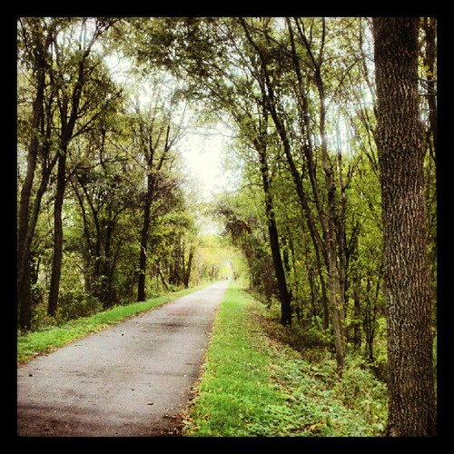
Vanishing point
square squareformat iphoneography instagramapp uploaded:by=instagram foursquare:venue=4da0ecce7ccc816e29ab477b
Into the trees
square squareformat iphoneography instagramapp uploaded:by=instagram foursquare:venue=4cb8cbf390c9a14349cf82d6
Summer evening in Waverly, Iowa
park reflection grass iowa plainfield nikond3200
Wet Grass
square squareformat iphoneography instagramapp uploaded:by=instagram foursquare:venue=4da0b6abb521224b59cde3ed
Spring?