Elevation of Warsaw, IN, USA
Location: United States > Indiana > Kosciusko County > Wayne Township >
Longitude: -85.853046
Latitude: 41.2381
Elevation: 252m / 827feet
Barometric Pressure: 98KPa
Elevation Map:
Satellite Map:
Related Photos:
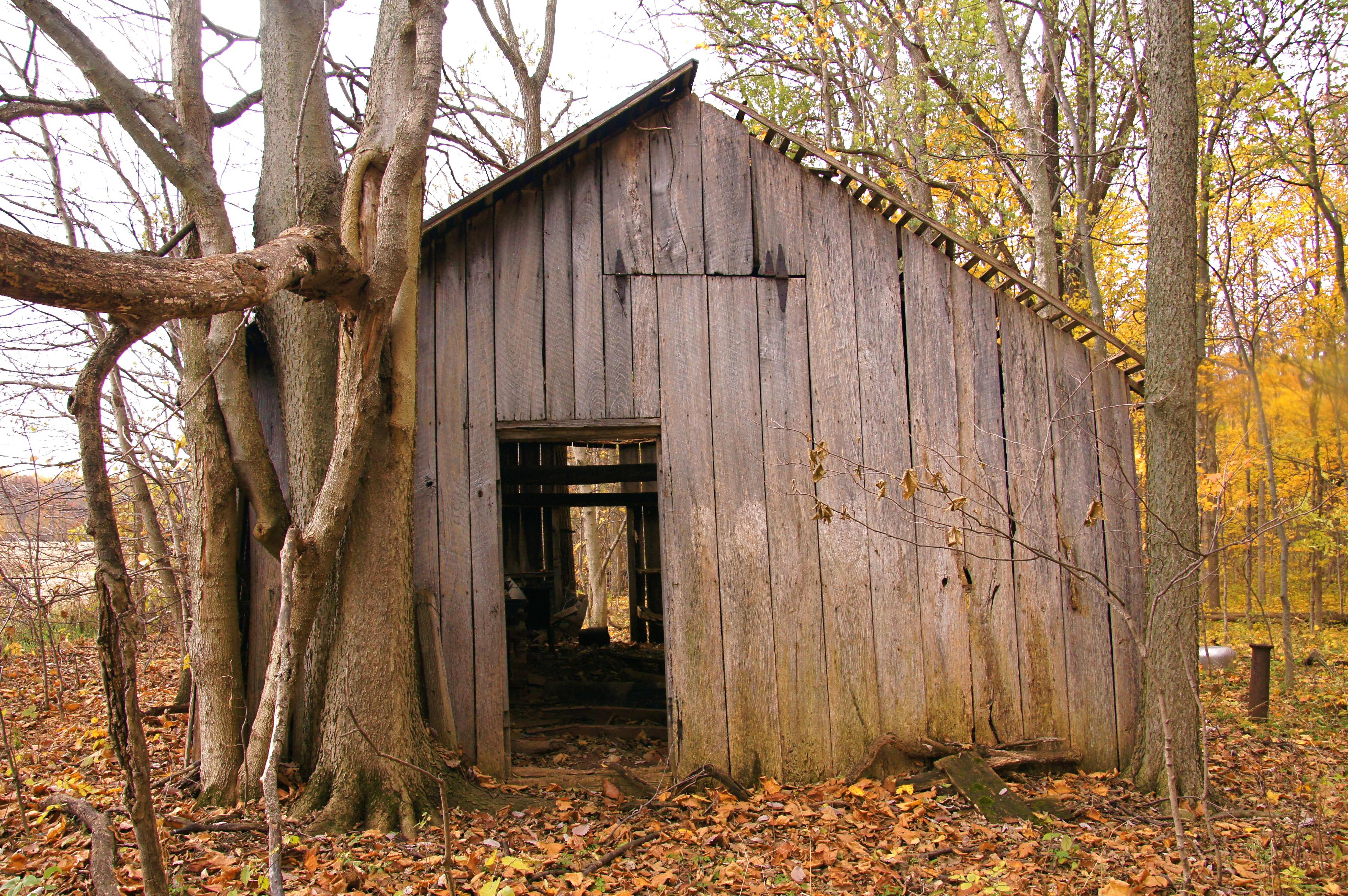
Sugar Shack, Kosciusko County, IN
Topographic Map of Warsaw, IN, USA
Find elevation by address:

Places in Warsaw, IN, USA:
Oldfather St, Warsaw, IN, USA
E Main St, Warsaw, IN, USA
Chapman Lake Dr, Warsaw, IN, USA
Oldfather Street
Places near Warsaw, IN, USA:
Rua
Oldfather Street
Oldfather St, Warsaw, IN, USA
Wayne Township
Court Street
Winona Lake
202 Chestnut Ave
1265 Park Ave
440 E Lynnwood Dr S
3 Stone Camp Trail
207 S Union St
Kosciusko County
700 Orthopaedic Dr
Grace Village Retirement Community
2955 S Woodland Hills Dr W
Plain Township
9 EMS C19 Ln, Warsaw, IN, USA
Clay Township
E Main St, Warsaw, IN, USA
6734 In-25
Recent Searches:
- Elevation of Corso Fratelli Cairoli, 35, Macerata MC, Italy
- Elevation of Tallevast Rd, Sarasota, FL, USA
- Elevation of 4th St E, Sonoma, CA, USA
- Elevation of Black Hollow Rd, Pennsdale, PA, USA
- Elevation of Oakland Ave, Williamsport, PA, USA
- Elevation of Pedrógão Grande, Portugal
- Elevation of Klee Dr, Martinsburg, WV, USA
- Elevation of Via Roma, Pieranica CR, Italy
- Elevation of Tavkvetili Mountain, Georgia
- Elevation of Hartfords Bluff Cir, Mt Pleasant, SC, USA