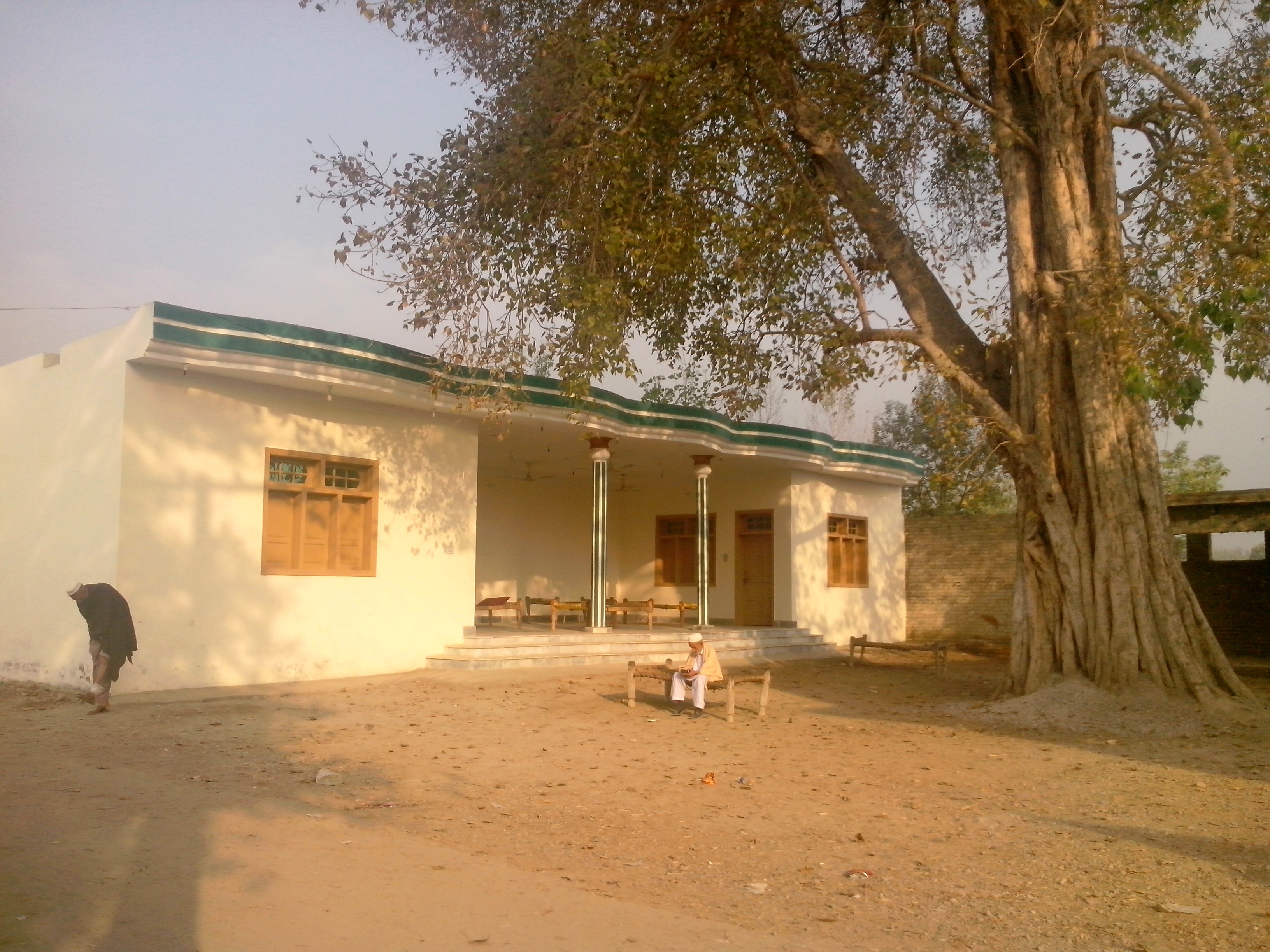
Elevation of Warsak Dam, Federally Administered Tribal Area, Pakistan
Location: Pakistan > Federally Administered Tribal Area > Khyber Agency > Jamrud > Bai Kor >
Longitude: 71.3585
Latitude: 34.1640125
Elevation: 377m / 1237feet
Barometric Pressure: 97KPa
Elevation Map:
Satellite Map:
Related Photos:

Railway, destroyed by flood.

.
.

.

.

.

.

.

.

.

.

.

.
Topographic Map of Warsak Dam, Federally Administered Tribal Area, Pakistan
Find elevation by address:

Places near Warsak Dam, Federally Administered Tribal Area, Pakistan:
Bai Kor
Jamrud
Jamrud
University Of Agriculture, Peshawar
Khyber Medical University
Peshawar Zoo
Warsak Road
Darmangi
Islamia College University Peshawar
Qadir Abad
University Of Peshawar
Shabqadar
Rahat Abad
University Of Engineering And Technology, Peshawar.
Landi Kotal
Khyber Medical College
Iqra National University
K-2
King's Mall & Hotel
Gandhara University .
Recent Searches:
- Elevation of Corso Fratelli Cairoli, 35, Macerata MC, Italy
- Elevation of Tallevast Rd, Sarasota, FL, USA
- Elevation of 4th St E, Sonoma, CA, USA
- Elevation of Black Hollow Rd, Pennsdale, PA, USA
- Elevation of Oakland Ave, Williamsport, PA, USA
- Elevation of Pedrógão Grande, Portugal
- Elevation of Klee Dr, Martinsburg, WV, USA
- Elevation of Via Roma, Pieranica CR, Italy
- Elevation of Tavkvetili Mountain, Georgia
- Elevation of Hartfords Bluff Cir, Mt Pleasant, SC, USA